 Outdoor Pitstop
Cycle route · Weißenburg in Bayern · Updated on 14 November 2026
Deutscher Limes-Radweg 6. Abschnitt Weißenburg - Regensburg cycle route
Deutscher Limes-Radweg 6. Abschnitt Weißenburg - Regensburg is a cycle route of 141.6 km from Weißenburg in Bayern. Along the way you'll find 222 benches, 12 water fountains and refill points, 12 public toilets and 1 bike pump.
i
i
i
The route step by step
From start to finish, with what you pass along the way and the distance in between.
- 141.6 km
- ± 9:25 h
- ↑ 890 m · ↓ 974 m
- Hard
- From A to B
- National route
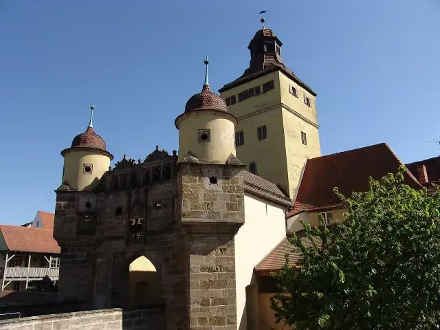
Start in Weißenburg in Bayern
0 kmAt the start: Ellinger Tor.
14.1 km · 7 benches

Schloss Raitenbuch
14.1 kmCastle
27.2 km · 13 benches
Public toilet
41.3 km7.6 km · 20 benches
Public toilet and bike pump
48.9 km272 m
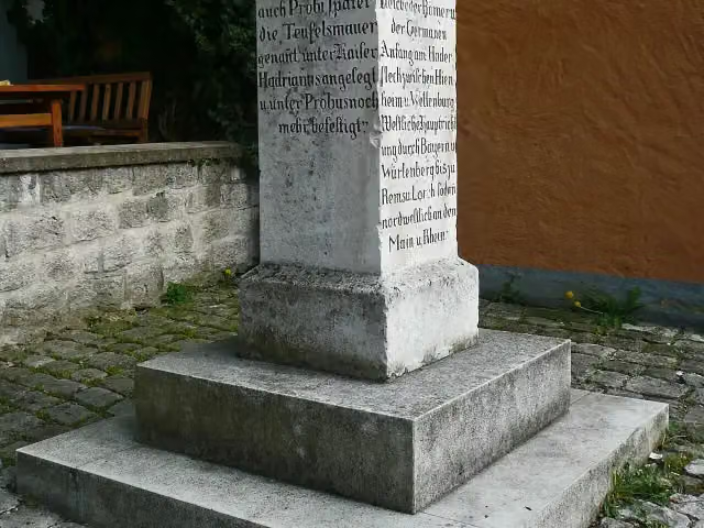
Limes-Gedenkstein
49.2 kmPublic toilet
265 m · bench
Public toilet
49.4 km946 m · 3 benches
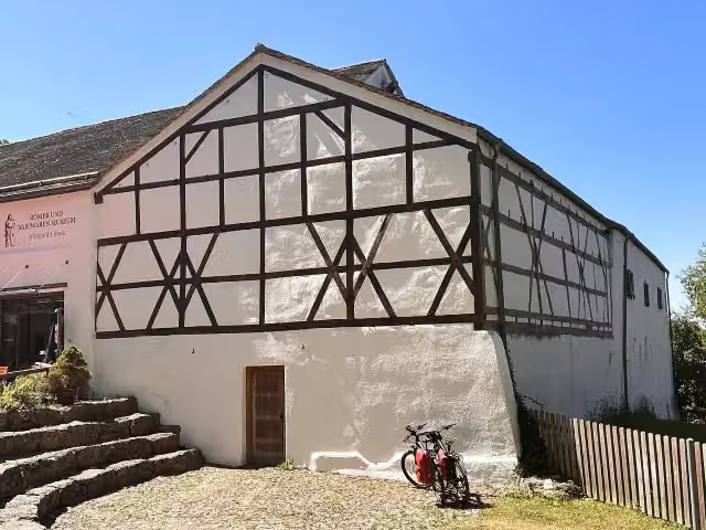
Römer- und Bajuwaren-Museum
50.4 kmMuseum
19.7 km · 8 benches
Schloss Schamhaupten
70.1 kmCastle
1.7 km · bench
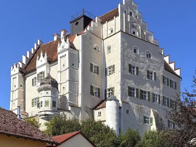
Schloss Sandersdorf
71.7 kmCastle
2.9 km
Water point
74.6 km1.4 km · bench
Kriegerdenkmal and 2 more
76 kmIgnaz-Günther-Museum and Burg Altmannstein
11.6 km · 5 benches
Public toilet and water point
87.6 km14.5 km · 11 benches
Public toilet
102.1 km1.6 km · 3 benches
König-Maximilan-Denkmal
103.7 kmMemorial
253 m · 2 benches
Archäologisches Museum
104 kmPublic toilet and water point
157 m
Water point
104.1 km4.1 km · 18 benches
Water point
108.2 km2.4 km · 3 benches
Water point
110.6 km9.8 km · 14 benches
Water point
120.5 km1.6 km · 5 benches
Water point
122.1 km13.8 km · 21 benches
Water point
135.9 km1.1 km · 8 benches
Water point
137 km3 km · 28 benches
document Kepler and 1 more
140 kmOld Town Hall
237 m · 3 benches
Goliathhaus and 2 more
140.2 kmBrückenturm-Museum and Porta praetoria
268 m · 14 benches
Donau-Schiffahrts-Museum Regensburg
140.5 kmMuseum
171 m · 9 benches
document Niedermünster and 1 more
140.6 kmMuseum der Bayerischen Geschichte and public toilet
267 m · 2 benches
Minoritenkirche and 1 more
140.9 kmHistorisches Museum, 2 public toilets and water point
170 m · 3 benches
Stift zu Unserer Lieben Frau zur Alten Kapelle and 1 more
141.1 kmAlte Dechantei and public toilet
495 m · 16 benches
Finish
141.6 kmAt the finish: Keplerdenkmal, public toilet and water point.
Longest stretch without a toilet: 41.3 kmBetween 0 km and 41.3 km there is no public toilet within 100 m of the route.
The route with the pitstops and sights within 100 m of it.
24 sights along the way
In the order you pass them. With the Outdoor Pitstop app you hear their story on the spot. 16 more along the route are on the map.
i
Photo: Tilman2007 · Wikimedia Commons · CC BY-SA 3.0View the photo on Wikimedia CommonsAttraction · after 0 m

Castle · after 14.1 km
i
Photo: Heinrich Stürzl · Wikimedia Commons · CC BY-SA 3.0View the photo on Wikimedia CommonsMemorial · after 49.2 km
i
Photo: Heinrich Stürzl · Wikimedia Commons · CC BY-SA 4.0View the photo on Wikimedia CommonsMuseum · after 50.4 km
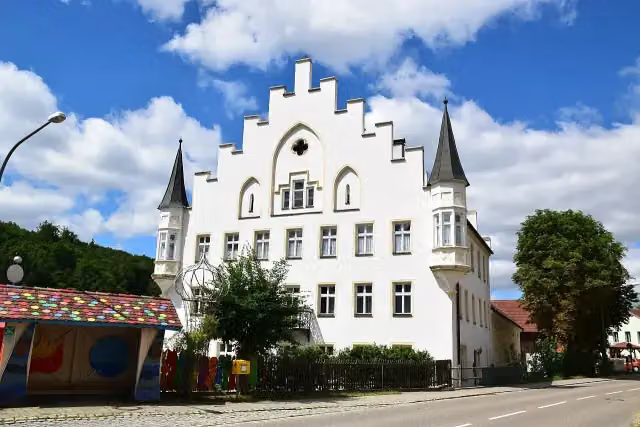
Castle · after 70.1 km
i
Photo: Heinrich Stürzl · Wikimedia Commons · CC BY-SA 4.0View the photo on Wikimedia CommonsCastle · after 71.7 km
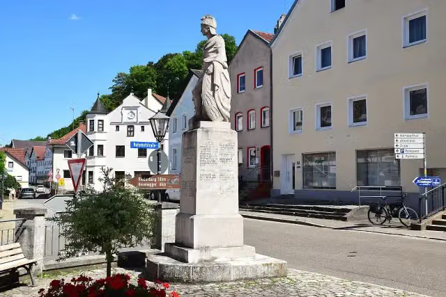
Memorial · after 76 km
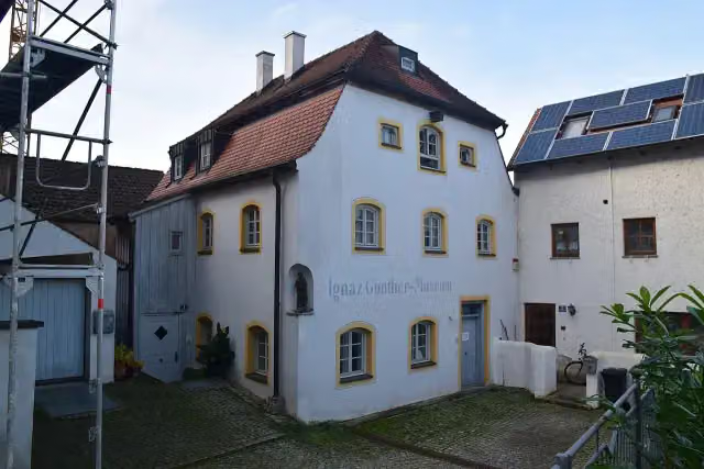
Museum · after 76.1 km
Elevation and terrain
- Up
- ↑ 890 m
- Down
- ↓ 974 m
- Highest point
- 583 m
- Lowest point
- 332 m
- 5-10% slope · 10.7 km
Elevation from Copernicus GLO-30 (European Union and ESA), smoothed.
produced using Copernicus WorldDEM-30 © DLR e.V. 2010-2014 and © Airbus Defence and Space GmbH 2014-2018 provided under COPERNICUS by the European Union and ESA; all rights reserved
Way types
141.6 km in total- Track: 51 km
- Road: 37.2 km
- Path: 22 km
- Street: 15.9 km
- Cycle path: 10.6 km
- Busy road: 4.2 km
- Footpath (walk your bike): 450 m
- Unknown: 100 m
Surfaces
141.6 km in total- Asphalt: 83.5 km
- Gravel: 45.5 km
- Paved: 8 km
- Unknown: 4.2 km
About the cycle route Deutscher Limes-Radweg 6. Abschnitt Weißenburg - Regensburg
Updated on 14 November 2026, with data from OpenStreetMap, the AHN and Copernicus.
Where do you cycle?
Deutscher Limes-Radweg 6. Abschnitt Weißenburg - Regensburg is a cycle route of 141.6 km that starts in Weißenburg in Bayern. It does not end where it starts. Along the way you pass Ellinger Tor (after 0 m), Schloss Raitenbuch (after 14.1 km) and Limes-Gedenkstein (after 49.2 km).
How hard is the route?
You climb 890 m in total and descend 974 m. Allow ± 9:25 h, without breaks. The level is hard.
What roads do you cycle on?
The longest part is track (51 km), road (37.2 km) and path (22 km). Of the surface, 83.5 km asphalt and 45.5 km gravel. For 4.2 km the surface is not known.
Pitstops along the way
Within 100 metres of the route there are 222 benches, 12 water fountains and refill points, 12 public toilets and 1 bike pump. The longest stretch without a toilet is 41.3 km. The Outdoor Pitstop app navigates you there.
Part of Deutscher Limes-Radweg
Website of the routeCycle routes nearby
6- Deutscher Limes-Radweg 5. Abschnitt Lorch - WeißenburgHard · From A to B152 km
- Altmühltal-RadwegHard · From A to B243.2 km
- Tauber-Altmühl-RadwegHard · From A to B342 km
- Fränkischer WasserRadweg - Etappe 4Moderate · From A to B49.4 km
- Fränkischer WasserRadweg - Etappe 3Moderate · From A to B46.5 km
- GeoRadweg Altmühltal Route 1Hard · From A to B193.9 km
Sights nearby
Within 10 km of the route, best known first.
- 1
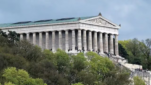 WalhallaAttraction · 8.9 km from the route
- 2
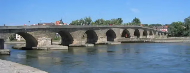 Steinerne BrückeAttraction · 171 m from the route
- 3
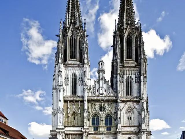 Saint Peter's CathedralAttraction · 158 m from the route
- 4
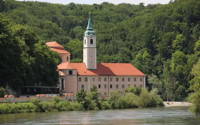 Kloster WeltenburgAttraction · 670 m from the route
- 5
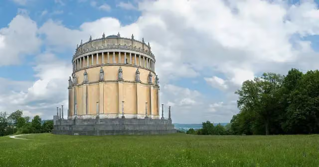 Hall of LiberationAttraction · 686 m from the route
- 6
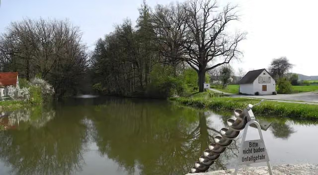 Fossa CarolinaAttraction · 6.2 km from the route
- 7
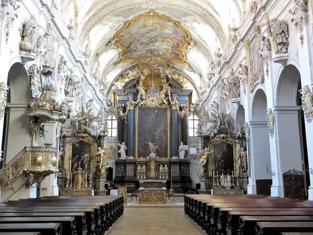 Basilica Sankt EmmeramAttraction · 530 m from the route
- 8
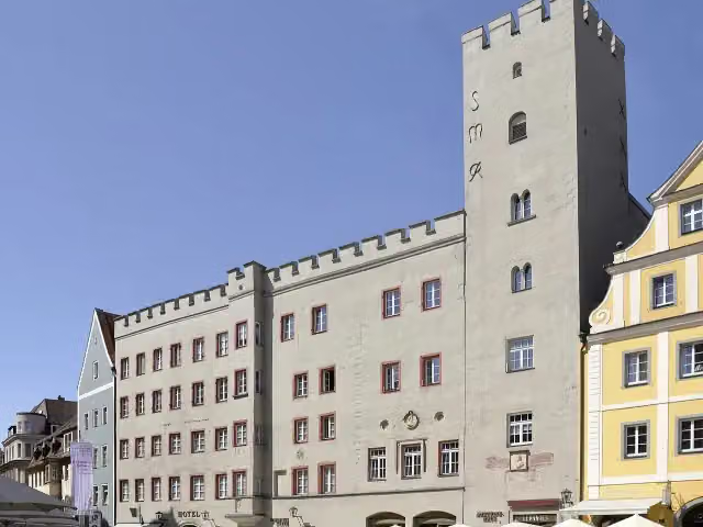 Goldenes KreuzAttraction · 182 m from the route
- 9
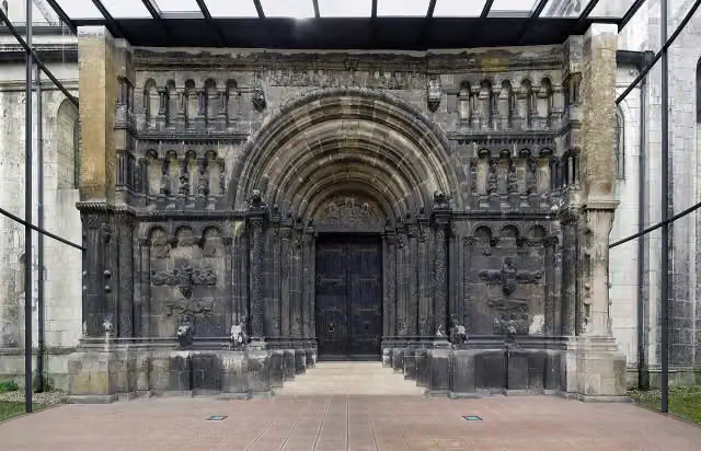 Scots MonasteryAttraction · 393 m from the route
- 10
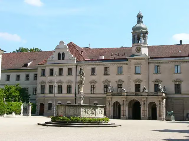 Schloss St. EmmeramAttraction · 485 m from the route
- 11
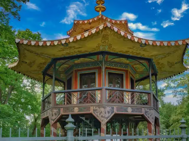 Chinesischer TurmAttraction · 8.2 km from the route
- 12
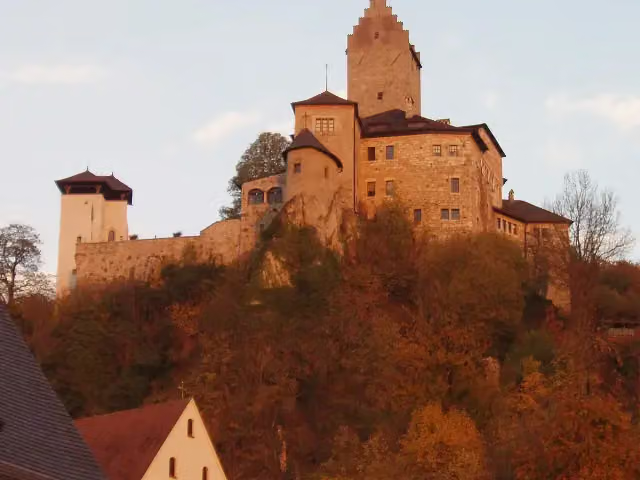 Burg KipfenbergCastle · 113 m from the route
- 13
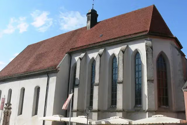 Kulturzentrum KarmeliterkircheAttraction · 113 m from the route
- 14
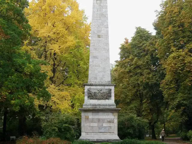 Fürst-Carl-Anselm-DenkmalMemorial · 129 m from the route
- 15
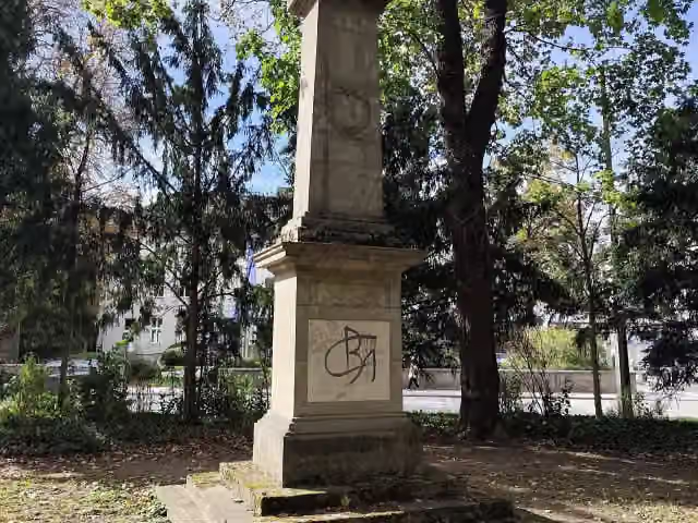 Franz-Xaver-Gruber-DenkmalMemorial · 131 m from the route
- 16
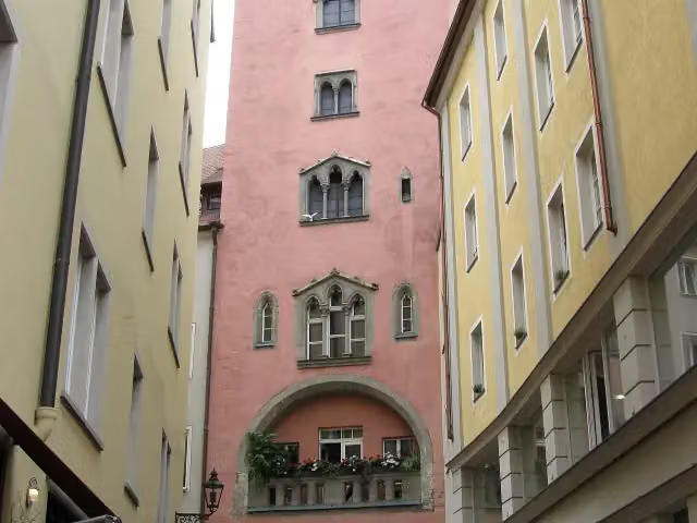 Baumburger TurmAttraction · 135 m from the route
- 17
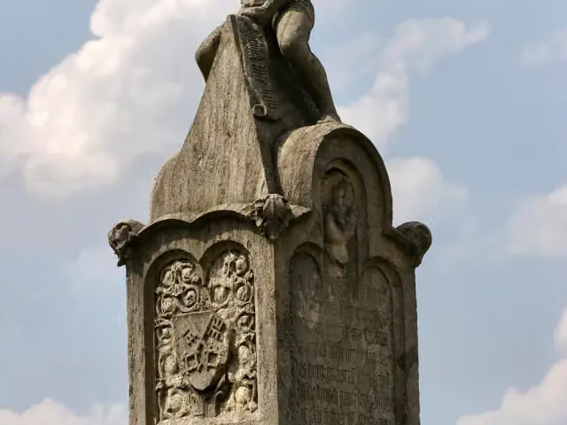 BruckmandlMemorial · 155 m from the route
- 18
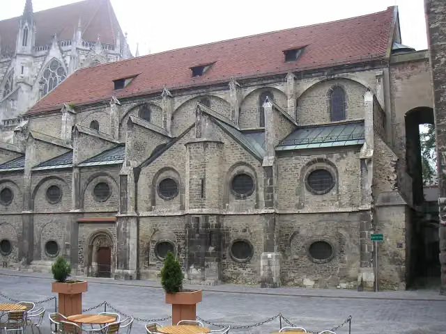 Museum Sankt UlrichMuseum · 170 m from the route
- 19
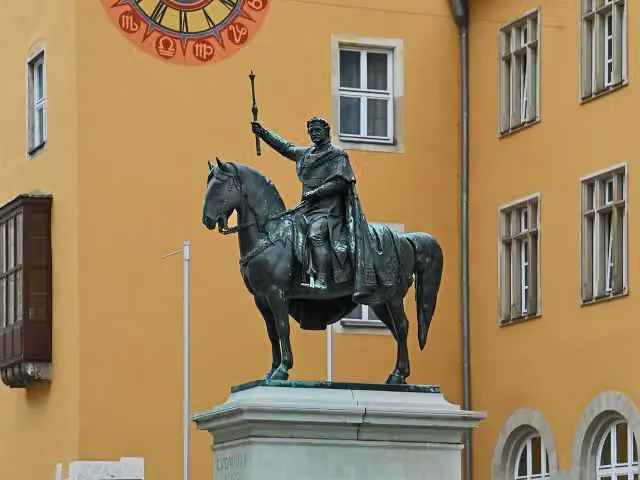 König Ludwig I.Memorial · 199 m from the route
- 20
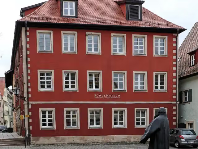 RömermuseumMuseum · 201 m from the route
- 21
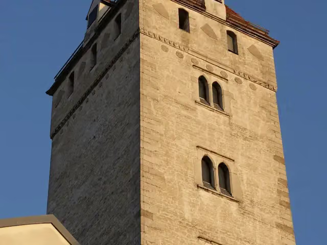 Goldener TurmAttraction · 214 m from the route
- 22
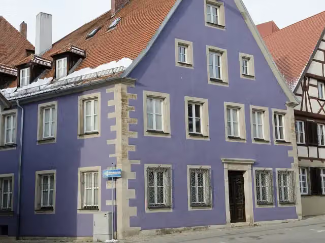 ReichstadtmuseumMuseum · 220 m from the route
- 23
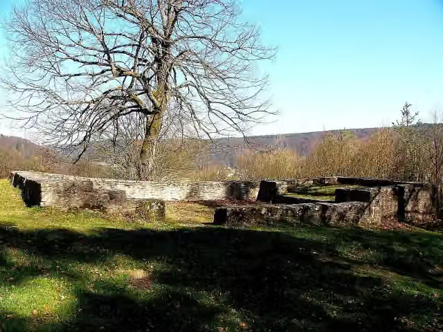 MichaelskapelleRuins · 240 m from the route
- 24
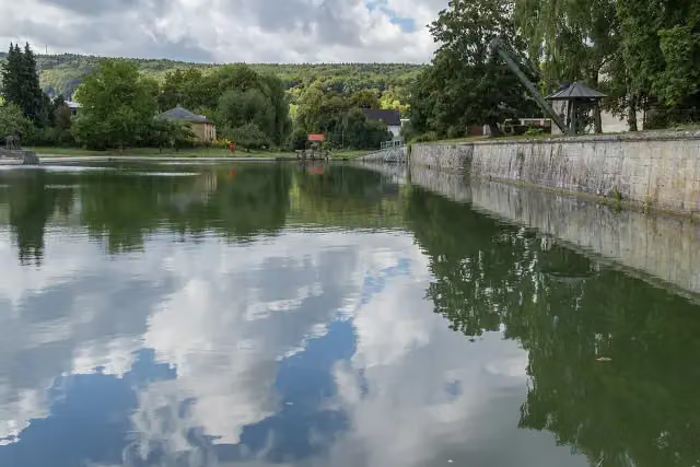 Kanalhafen KelheimAttraction · 282 m from the route
- 25
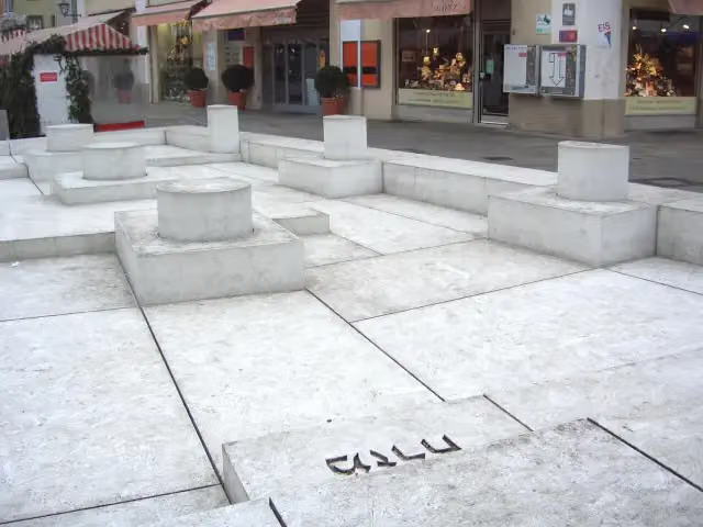 MisrachMemorial · 319 m from the route
Explore more
More cycle routes around Weißenburg in Bayern
Frequently asked questions
How long is Deutscher Limes-Radweg 6. Abschnitt Weißenburg - Regensburg?
Deutscher Limes-Radweg 6. Abschnitt Weißenburg - Regensburg is 141.6 km long. Allow ± 9:25 h of riding: 15 km an hour, without breaks.
Is this route a circular ride?
No, the route starts and ends at different spots.
Where does this route start?
The route starts in Weißenburg in Bayern.
How hard is this route?
Hard, with 890 m of climbing.
Are there toilets along this route?
Yes, there are 12 public toilets within 100 m of the route. The longest stretch without a toilet is 41.3 km.
Can you fill up with water along this route?
Yes, there are 12 water fountains and refill points within 100 m of the route.
What is there to see along this route?
Along the way you pass Ellinger Tor, Schloss Raitenbuch and Limes-Gedenkstein.
Can I download this route as a GPX file?
Yes. Sign in with your Outdoor Pitstop account and choose Download GPX at the top of this page: 10 routes a month for free, unlimited with Pro.
Starting point
More routes from this place
Route data © OpenStreetMap contributors





