 Outdoor Pitstop
Cycle route · Lorch · Updated on 14 November 2026
Deutscher Limes-Radweg 5. Abschnitt Lorch - Weißenburg cycle route
Deutscher Limes-Radweg 5. Abschnitt Lorch - Weißenburg is a cycle route of 152 km from Lorch. Along the way you'll find 240 benches, 7 water fountains and refill points, 21 public toilets, 5 bike pumps and 1 honesty box.
i
i
i
The route step by step
From start to finish, with what you pass along the way and the distance in between.
- 152 km
- ± 10:10 h
- ↑ 870 m · ↓ 734 m
- Hard
- From A to B
- National route
Start in Lorch
0 km7.6 km · 7 benches
Public toilet and water point
7.6 km220 m · 7 benches
2 public toilets and 2 water fountains and refill points
7.9 km254 m · 12 benches
Public toilet and bike pump
8.1 km167 m · 3 benches

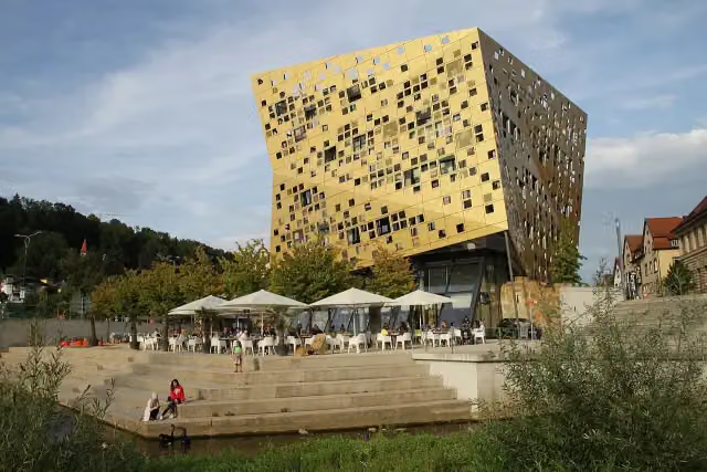
Forum Gold & Silber and 2 more
8.3 kmStauferfries and Fünfknopfturm
179 m · 21 benches
Ein Zeichen der Erinnerung – die Synagoge Schwäbisch Gmünd and 1 more
8.5 kmPalais Debler
320 m · 9 benches
Museum im Prediger and 2 more
8.8 kmJohanniskirche, Kriegerdenkmal 1. und 2. Weltkrieg and public toilet
152 m
Museum Panoramamuseum und Epos zur Stadtgeschichte
8.9 kmMuseum
273 m · 4 benches
Public toilet
9.2 km202 m
Wasserturm
9.4 kmAttraction
10.4 km · 7 benches
Honesty box
19.8 km362 m
Kastell Unterböbingen
20.2 kmArchaeological site
3.2 km · 3 benches
Public toilet and water point
23.4 km13.8 km · 10 benches
Urweltmuseum
37.2 kmPublic toilet and bike pump
408 m · 12 benches
Water point and bike pump
37.6 km3.1 km · 29 benches
Schloß Wasseralfingen
40.7 kmCastle
3.2 km · 4 benches
Public toilet
43.9 km5.7 km · 18 benches
2 public toilets
49.6 km2.6 km · 2 benches
Limestor Dalkingen
52.2 kmArchaeological site
8.4 km · 3 benches
Burg Erpfental
60.6 kmArchaeological site
3.8 km
Bike pump
64.4 km15.9 km
Public toilet
80.3 km18.2 km · 6 benches
Heimatmuseum Spatz
98.5 kmMuseum
7.5 km · bench
Public toilet
106 km1 km
Public toilet
107 km12.5 km · 17 benches
Public toilet
119.4 km1.1 km · 4 benches
Public toilet and water point
120.6 km296 m · 20 benches
Färberturm
120.9 kmPublic toilet
189 m · 10 benches
3 public toilets
121.1 km298 m · 11 benches
Public toilet
121.4 km
Show the other 3 steps
27.3 km · 14 benches
Schloss Ellingen and 1 more
148.7 kmSchloßstraße and bike pump
166 m
Water point
148.8 km3.2 km · 6 benches
Finish
152 kmAt the finish: Ellinger Tor.
Longest stretch without a toilet: 30.7 kmBetween 49.6 km and 80.3 km there is no public toilet within 100 m of the route.
The route with the pitstops and sights within 100 m of it.
20 sights along the way
In the order you pass them. With the Outdoor Pitstop app you hear their story on the spot. 12 more along the route are on the map.
i
Photo: Alfox · Wikimedia Commons · CC BY-SA 4.0View the photo on Wikimedia CommonsAttraction · after 8.3 km

Memorial · after 8.3 km
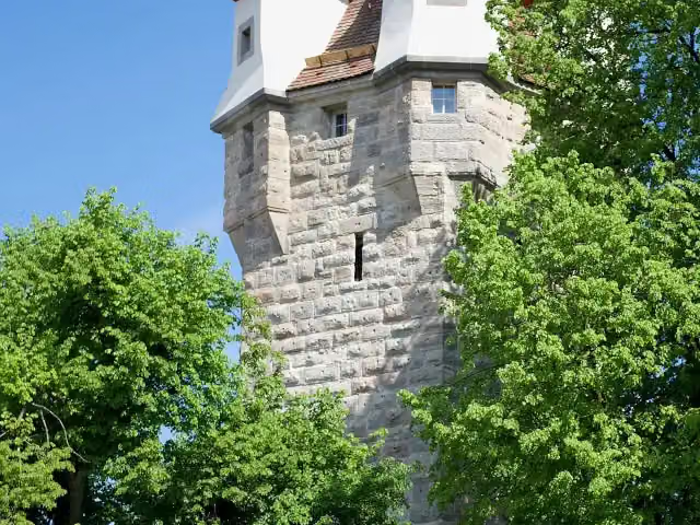
i
Photo: Pwagenblast · Wikimedia Commons · CC BY-SA 4.0View the photo on Wikimedia CommonsAttraction · after 8.4 km
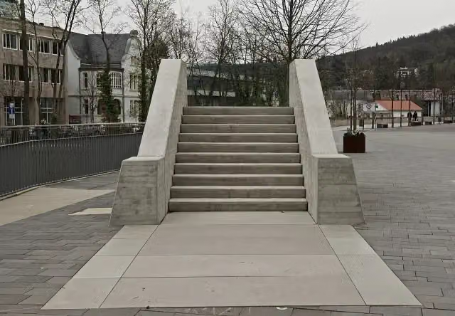
i
Photo: Pwagenblast · Wikimedia Commons · CC BY-SA 4.0View the photo on Wikimedia CommonsMemorial · after 8.5 km
i
Photo: Gmünder · Wikimedia Commons · CC BY-SA 4.0View the photo on Wikimedia CommonsAttraction · after 8.6 km
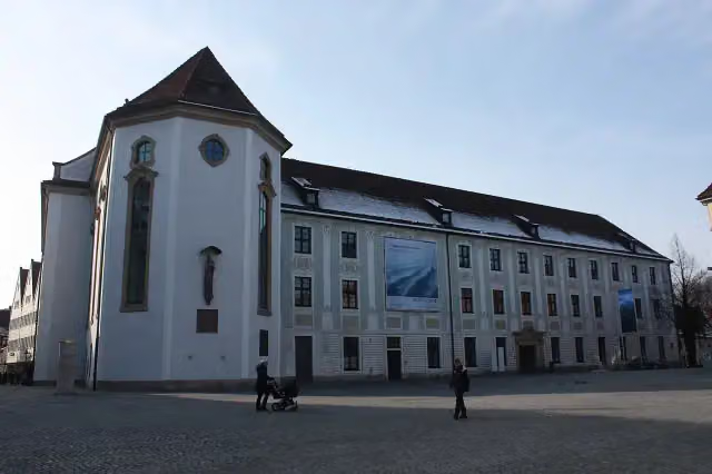
i
Photo: Gmünder · Wikimedia Commons · CC BY 3.0View the photo on Wikimedia CommonsMuseum · after 8.8 km
Attraction · after 8.8 km
Memorial · after 8.9 km
Elevation and terrain
- Up
- ↑ 870 m
- Down
- ↓ 734 m
- Highest point
- 547 m
- Lowest point
- 289 m
- 5-10% slope · 3.1 km
- 1 flight of stairs
Elevation from Copernicus GLO-30 (European Union and ESA), smoothed.
produced using Copernicus WorldDEM-30 © DLR e.V. 2010-2014 and © Airbus Defence and Space GmbH 2014-2018 provided under COPERNICUS by the European Union and ESA; all rights reserved
Way types
152 km in total- Road: 67.8 km
- Track: 43 km
- Street: 24 km
- Cycle path: 5.8 km
- Path: 5.6 km
- Busy road: 4 km
- Footpath (walk your bike): 1.5 km
- Steps (carry your bike): 1 flight of stairs
Surfaces
152 km in total- Asphalt: 96.3 km
- Paved: 9.1 km
- Gravel: 4.3 km
- Unknown: 41.9 km
About the cycle route Deutscher Limes-Radweg 5. Abschnitt Lorch - Weißenburg
Updated on 14 November 2026, with data from OpenStreetMap, the AHN and Copernicus.
Where do you cycle?
Deutscher Limes-Radweg 5. Abschnitt Lorch - Weißenburg is a cycle route of 152 km that starts in Lorch. It does not end where it starts. Along the way you pass Forum Gold & Silber (after 8.3 km), Stauferfries (after 8.3 km) and Fünfknopfturm (after 8.4 km).
How hard is the route?
You climb 870 m in total and descend 734 m. There is 1 flight of steps along the way. Allow ± 10:10 h, without breaks. The level is hard.
What roads do you cycle on?
The longest part is road (67.8 km), track (43 km) and street (24 km). Of the surface, 96.3 km asphalt and 9.1 km paved. For 41.9 km the surface is not known.
Pitstops along the way
Within 100 metres of the route there are 240 benches, 7 water fountains and refill points, 21 public toilets, 5 bike pumps and 1 honesty box. You can fill your bottle after 7.6 km, after 7.9 km, after 23.4 km, after 37.7 km, after 120.6 km and after 148.8 km. The longest stretch without a toilet is 30.7 km. The Outdoor Pitstop app navigates you there.
Part of Deutscher Limes-Radweg
Website of the routeCycle routes nearby
6- Alb-Neckar-RadwegHard · From A to B212.2 km
- Deutscher Limes-Radweg 4. Abschnitt Miltenberg - LorchHard · From A to B164.2 km
- E-Bike-Region Stuttgart (Nordost)Hard · From A to B183.5 km
- Remstal-Radweg Etappe 3: Schorndorf - Schwäbisch GmündEasy · From A to B23.2 km
- KaisersträßleModerate · From A to B42.1 km
- legacy: Radverkehrsnetz BW, Landkreis GöppingenHard · From A to B164.2 km
Sights nearby
Within 10 km of the route, best known first.
- 1
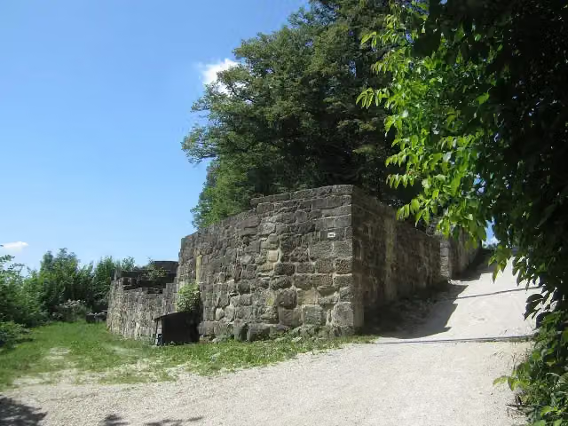 Burgruine HohenstaufenCastle · 5.2 km from the route
- 2
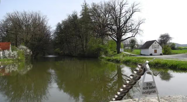 Fossa CarolinaAttraction · 6.2 km from the route
- 3
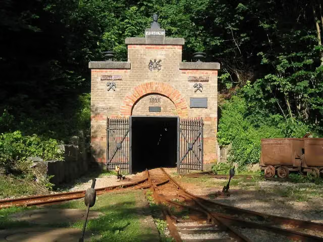 Mining museum (show mine)Museum · 1.7 km from the route
- 4
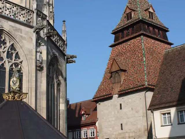 GlockenturmAttraction · 103 m from the route
- 5
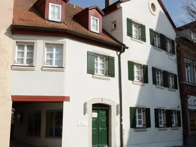 Archäologisches Museum GunzenhausenMuseum · 123 m from the route
- 6
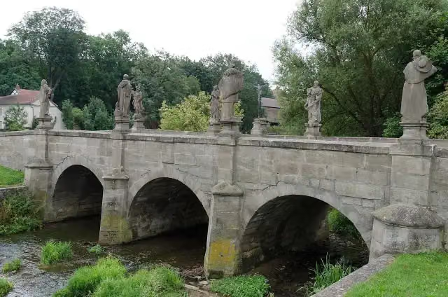 HeiligenbrückeAttraction · 130 m from the route
- 7
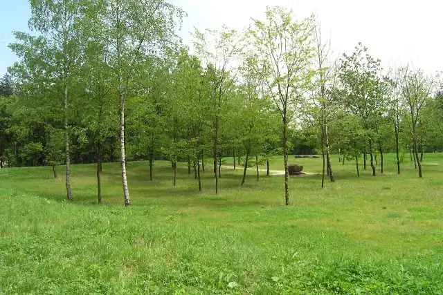 Kleinkastell FreimühleArchaeological site · 161 m from the route
- 8
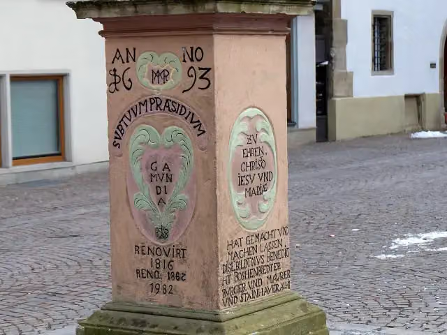 MariensäuleMemorial · 183 m from the route
- 9
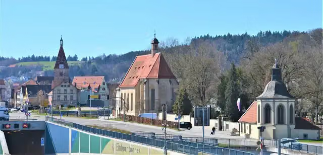 St. LeonhardskircheAttraction · 195 m from the route
- 10
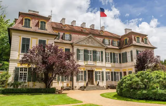 CastleCastle · 197 m from the route
- 11
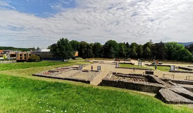 Reiterkastell AalenArchaeological site · 200 m from the route
- 12
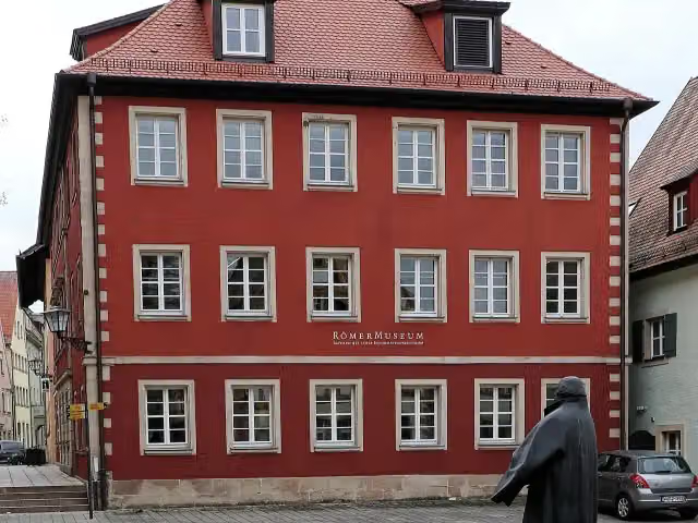 RömermuseumMuseum · 201 m from the route
- 13
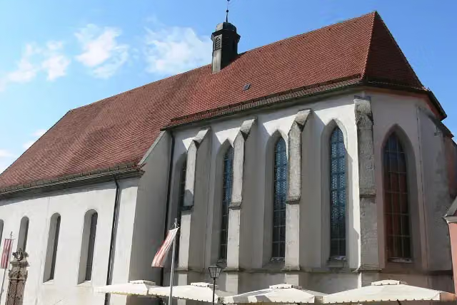 Kulturzentrum KarmeliterkircheAttraction · 209 m from the route
- 14
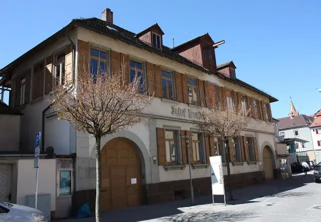 Silberwaren- und Bijouteriemuseum Ott-Pausersche FabrikMuseum · 219 m from the route
- 15
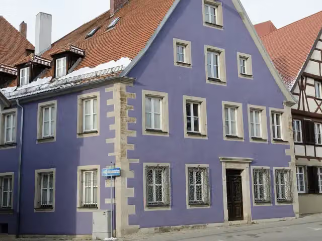 ReichstadtmuseumMuseum · 220 m from the route
- 16
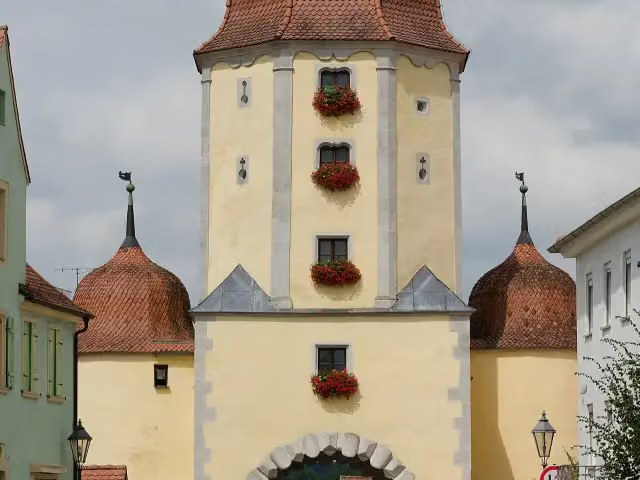 Spielzeugmuseum im Pleinfelder TorMuseum · 233 m from the route
- 17
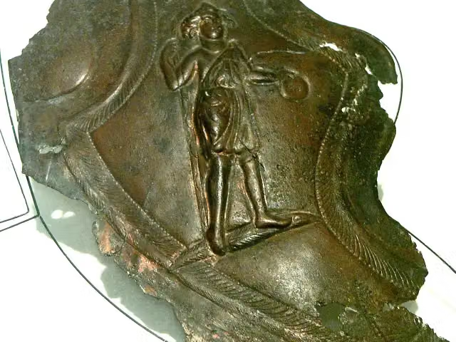 Kastell TheilenhofenArchaeological site · 236 m from the route
- 18
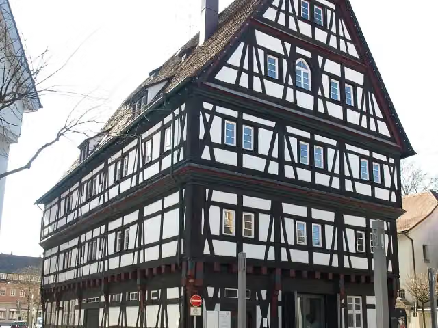 KornhausAttraction · 242 m from the route
- 19
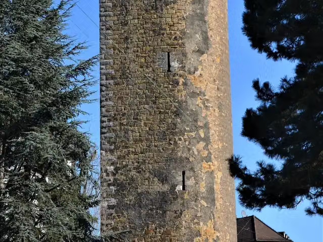 KönigsturmAttraction · 254 m from the route
- 20
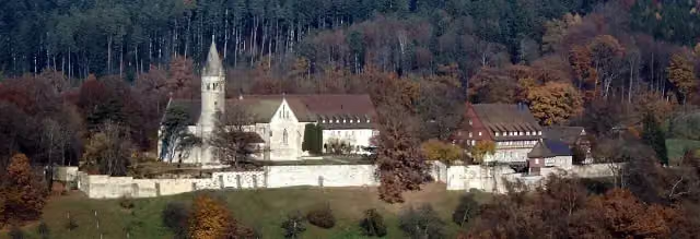 Kloster LorchAttraction · 257 m from the route
- 21
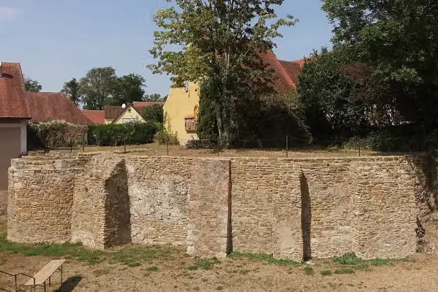 Schloss WeiltingenRuins · 258 m from the route
- 22
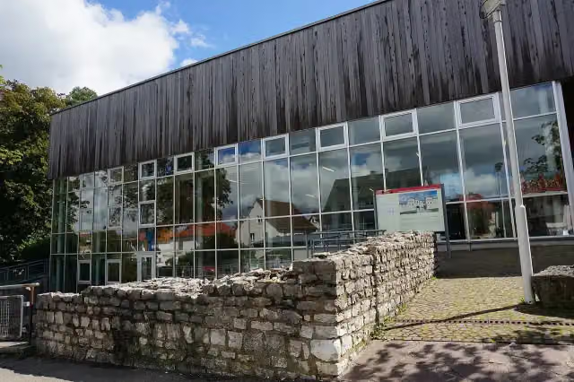 LimesmuseumMuseum · 261 m from the route
- 23
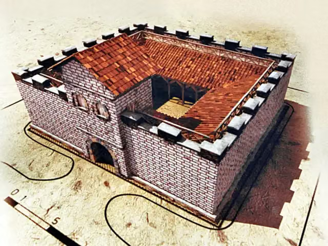 Kleinkastell am Hinteren SchloßbuckArchaeological site · 291 m from the route
- 24
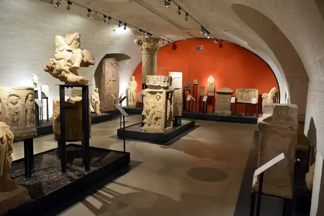 JupitersäuleMemorial · 350 m from the route
- 25
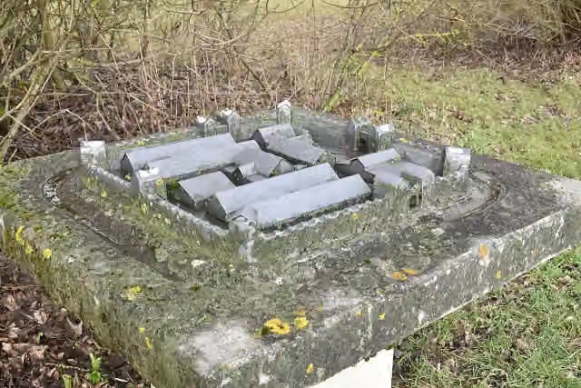 Kastell HalheimArchaeological site · 426 m from the route
Explore more
More cycle routes around Lorch
Frequently asked questions
How long is Deutscher Limes-Radweg 5. Abschnitt Lorch - Weißenburg?
Deutscher Limes-Radweg 5. Abschnitt Lorch - Weißenburg is 152 km long. Allow ± 10:10 h of riding: 15 km an hour, without breaks.
Is this route a circular ride?
No, the route starts and ends at different spots.
Where does this route start?
The route starts in Lorch.
How hard is this route?
Hard, with 870 m of climbing.
Are there toilets along this route?
Yes, there are 21 public toilets within 100 m of the route. The longest stretch without a toilet is 30.7 km.
Can you fill up with water along this route?
Yes, there are 7 water fountains and refill points within 100 m of the route.
What is there to see along this route?
Along the way you pass Forum Gold & Silber, Stauferfries and Fünfknopfturm.
Can I download this route as a GPX file?
Yes. Sign in with your Outdoor Pitstop account and choose Download GPX at the top of this page: 10 routes a month for free, unlimited with Pro.
Starting point
More routes from this place
Route data © OpenStreetMap contributors





