 Outdoor Pitstop
Cycle route · Geislingen an der Steige · Updated on 14 November 2026
E-Bike-Region Stuttgart (Nordost) cycle route
E-Bike-Region Stuttgart (Nordost) is a cycle route of 183.5 km from Geislingen an der Steige. Along the way you'll find 329 benches, 2 water fountains and refill points, 18 public toilets, 7 bike pumps and 1 honesty box.
i
i
i
The route step by step
From start to finish, with what you pass along the way and the distance in between.
- 183.5 km
- ± 12:15 h
- ↑ 2,166 m · ↓ 2,311 m
- Hard
- From A to B
- Regional route
Start in Geislingen an der Steige
0 km1.3 km · 15 benches
Public toilet
1.3 km17.4 km · 18 benches
Bike pump
18.6 km10.5 km · 19 benches
Public toilet
29.1 km5.5 km · 13 benches
Public toilet
34.6 km690 m
Public toilet
35.3 km4.8 km · 13 benches
Water point and bike pump
40.1 km1.1 km · bench
Public toilet
41.2 km7.1 km · 2 benches

Reinhold-Maier-Turm and 1 more
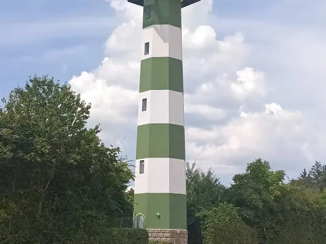
48.2 kmReinhold-Maier-Turm
6 km · 9 benches
Kloster Adelberg
54.3 kmAttraction
13.8 km · 27 benches
Public toilet
68 km3 km · 8 benches
Bike pump
71.1 km1.3 km · 15 benches
Public toilet
72.3 km3.1 km · 3 benches
Bike pump
75.4 km6.3 km · 24 benches
Public toilet
81.8 km5.4 km · 5 benches
Kastell Lorch
87.1 kmPublic toilet
604 m · 33 benches
Public toilet
87.7 km6.6 km · 5 benches
Bike pump
94.3 km3.1 km · 4 benches
Public toilet
97.4 km5.4 km · 13 benches
Public toilet
102.8 km330 m · 15 benches
Gedenk- und Dokumentationsstätte Konzentrationslager Welzheim
103.1 kmPublic toilet
7 km · 3 benches
Public toilet
110.1 km153 m
Public toilet
110.2 km841 m · 13 benches
Public toilet
111.1 km6.2 km · 11 benches
Honesty box
117.3 km8 km · 5 benches
Walterichskapelle and 1 more
125.3 kmStadtkirche Murrhardt, public toilet and bike pump
151 m · 3 benches
Water point
125.4 km12.5 km · 17 benches
Public toilet
138 km18.1 km · 16 benches
Glasmuseum Spiegelberg
156.1 kmBike pump
9.8 km · 4 benches
Prinz Friedrichs Kochherd
165.8 kmAttraction
Show the other 1 steps
17.7 km · 15 benches
Finish
183.5 km
Longest stretch without a toilet: 45.6 kmBetween 138 km and 183.5 km there is no public toilet within 100 m of the route.
The route with the pitstops and sights within 100 m of it.
9 sights along the way
In the order you pass them. With the Outdoor Pitstop app you hear their story on the spot. 1 more along the route are on the map.
i
Photo: Feurio! · Wikimedia Commons · CC BY-SA 4.0View the photo on Wikimedia CommonsObservation tower · after 48.2 km
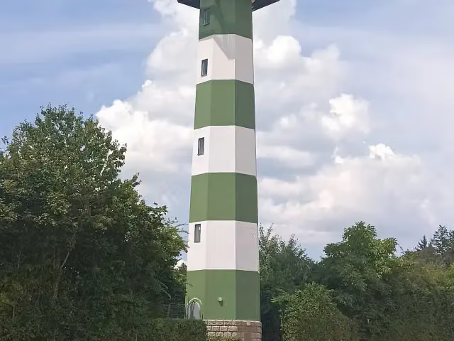
i
Photo: Feurio! · Wikimedia Commons · CC BY-SA 4.0View the photo on Wikimedia CommonsObservation tower · after 48.2 km
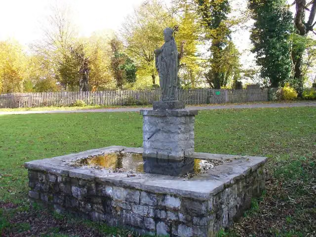
i
Photo: Schelm · Wikimedia Commons · CC BY-SA 3.0View the photo on Wikimedia CommonsAttraction · after 54.3 km
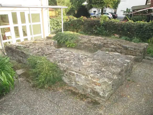
i
Photo: dealerofsalvation · Wikimedia Commons · CC BY-SA 4.0View the photo on Wikimedia CommonsArchaeological site · after 87.1 km
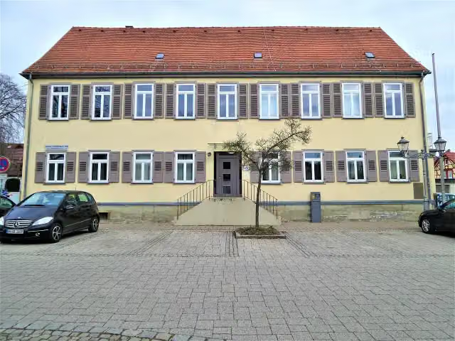
i
Photo: Reutlingendorf · Wikimedia Commons · CC BY-SA 4.0View the photo on Wikimedia CommonsMuseum · after 103.2 km
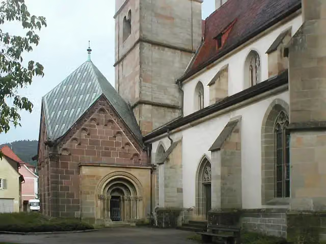
i
Photo: p.schmelzle · Wikimedia Commons · CC BY-SA 2.5View the photo on Wikimedia CommonsAttraction · after 125.3 km
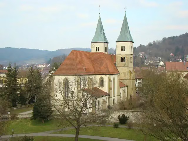
i
Photo: peter schmelzle · Wikimedia Commons · CC BY-SA 3.0View the photo on Wikimedia CommonsAttraction · after 125.3 km
i
Photo: Martheau · Wikimedia Commons · CC BY-SA 3.0View the photo on Wikimedia CommonsMuseum · after 156.1 km
Elevation and terrain
- Up
- ↑ 2,166 m
- Down
- ↓ 2,311 m
- Highest point
- 645 m
- Lowest point
- 215 m
- 5-10% slope · 22.1 km
- 10-15% slope · 922 m
Elevation from Copernicus GLO-30 (European Union and ESA), smoothed.
produced using Copernicus WorldDEM-30 © DLR e.V. 2010-2014 and © Airbus Defence and Space GmbH 2014-2018 provided under COPERNICUS by the European Union and ESA; all rights reserved
Way types
183.5 km in total- Road: 68.7 km
- Track: 60.9 km
- Street: 30.4 km
- Path: 15 km
- Busy road: 7.1 km
- Footpath (walk your bike): 875 m
Surfaces
183.5 km in total- Asphalt: 138.9 km
- Gravel: 21.5 km
- Paved: 5.1 km
- Unknown: 17.5 km
About the cycle route E-Bike-Region Stuttgart (Nordost)
Updated on 14 November 2026, with data from OpenStreetMap, the AHN and Copernicus.
Where do you cycle?
E-Bike-Region Stuttgart (Nordost) is a cycle route of 183.5 km that starts in Geislingen an der Steige. It does not end where it starts. You start in Geislingen an der Steige and finish in Erdmannhausen. Along the way you pass Reinhold-Maier-Turm (after 48.2 km), Reinhold-Maier-Turm (after 48.2 km) and Kloster Adelberg (after 54.3 km).
How hard is the route?
You climb 2,166 m in total and descend 2,311 m. Allow ± 12:15 h, without breaks. The level is hard.
What roads do you cycle on?
The longest part is road (68.7 km), track (60.9 km) and street (30.4 km). Of the surface, 138.9 km asphalt and 21.5 km gravel. For 17.5 km the surface is not known.
Pitstops along the way
Within 100 metres of the route there are 329 benches, 2 water fountains and refill points, 18 public toilets, 7 bike pumps and 1 honesty box. You can fill your bottle after 40.1 km and after 125.4 km. The longest stretch without a toilet is 45.6 km. The Outdoor Pitstop app navigates you there.
Part of E-Bike Region Stuttgart
Website of the routeCycle routes nearby
6Sights nearby
Within 10 km of the route, best known first.
- 1
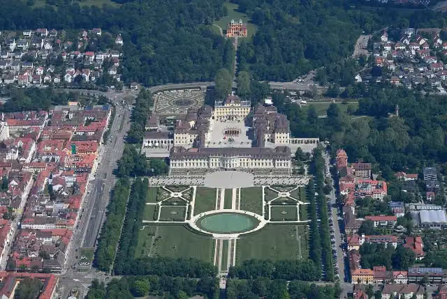 Schloss LudwigsburgAttraction · 9.7 km from the route
- 2
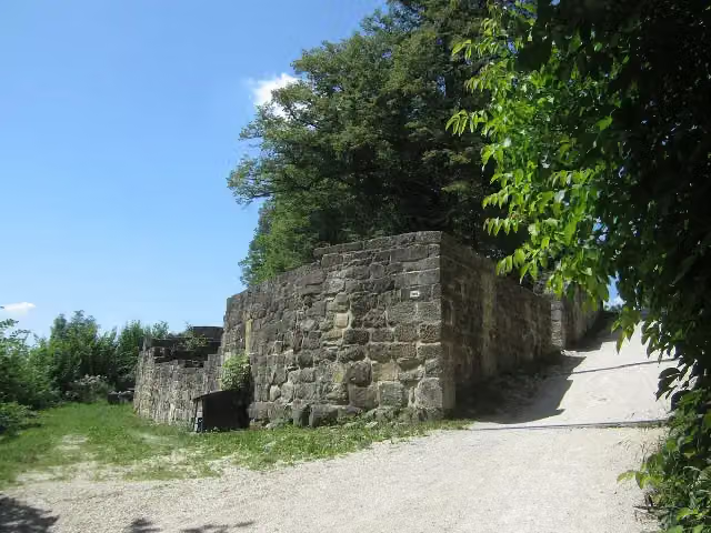 Burgruine HohenstaufenCastle · 190 m from the route
- 3
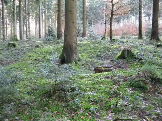 Röm. Kleinkastell EbniseeArchaeological site · 102 m from the route
- 4
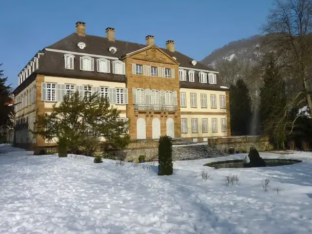 Schloss EybachCastle · 103 m from the route
- 5
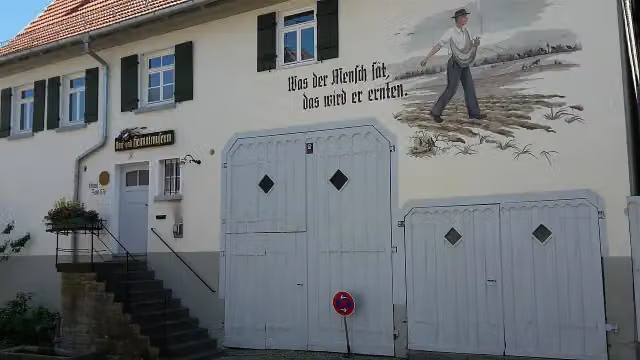 Dorf- und HeimatmuseumMuseum · 112 m from the route
- 6
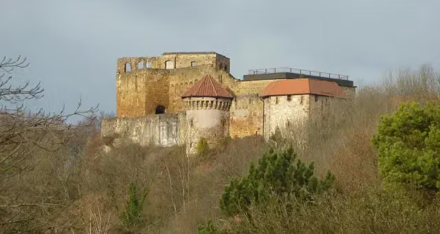 HohenrechbergCastle · 121 m from the route
- 7
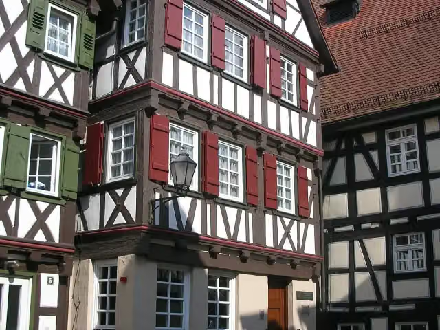 Gottlieb-Daimler-GeburtshausMuseum · 141 m from the route
- 8
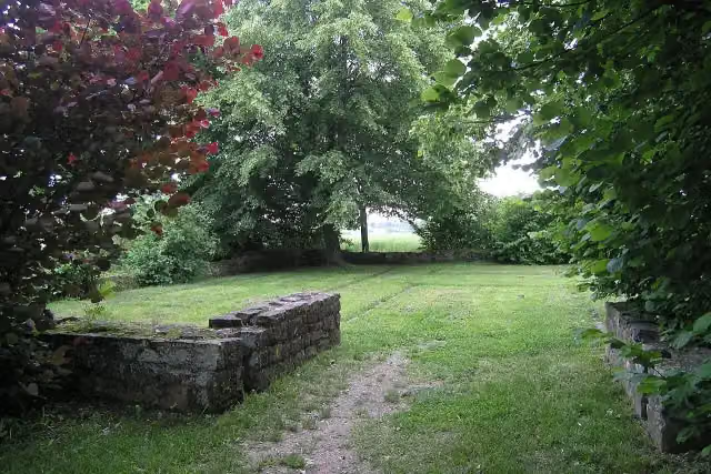 Kleinkastell RötelseeAttraction · 142 m from the route
- 9
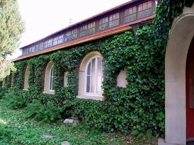 Carl-Schweizer-MuseumMuseum · 144 m from the route
- 10
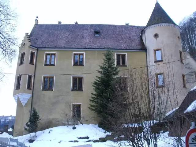 Schloss WeißensteinCastle · 144 m from the route
- 11
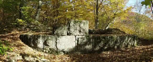 Burg GraneggCastle · 173 m from the route
- 12
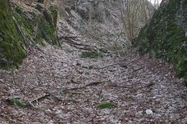 Burgrest RavensteinCastle · 190 m from the route
- 13
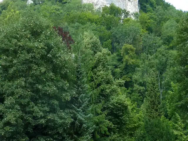 Burg HoheneybachCastle · 201 m from the route
- 14
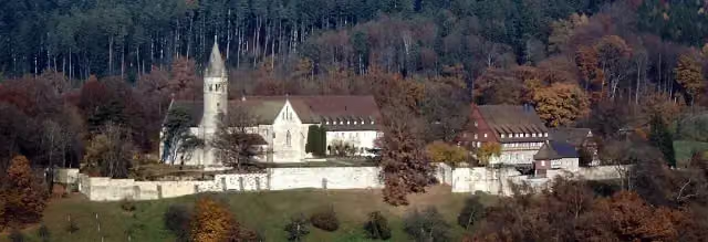 Kloster LorchAttraction · 202 m from the route
- 15
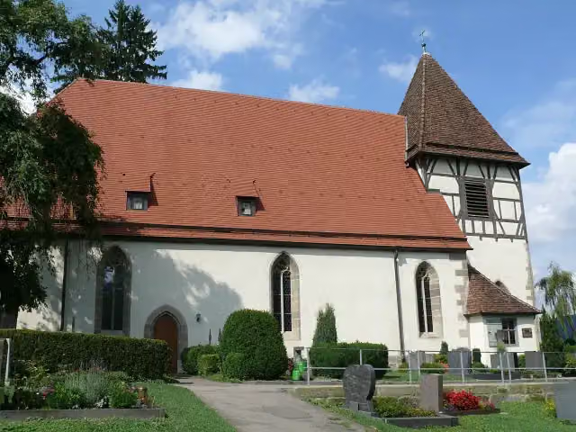 WalterichskircheAttraction · 244 m from the route
- 16
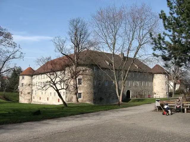 BurgschlossCastle · 365 m from the route
- 17
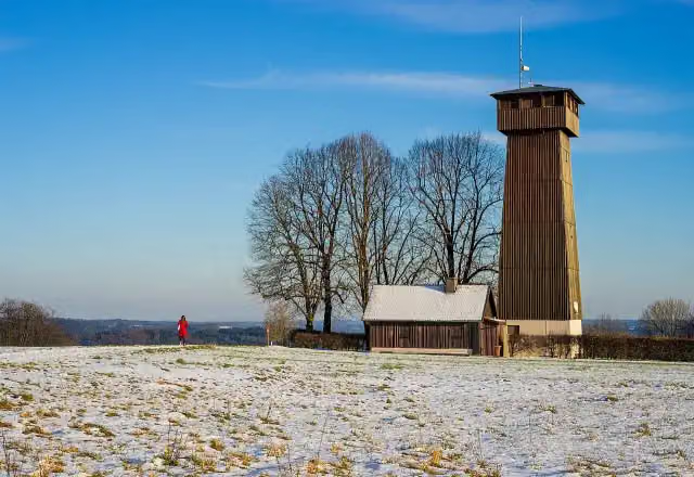 Aussichtsturm JuxkopfObservation tower · 382 m from the route
- 18
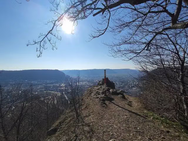 BismarckfelsenViewpoint · 596 m from the route
- 19
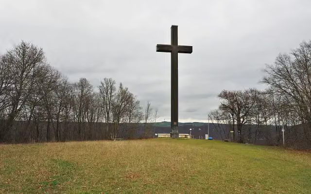 OstlandkreuzAttraction · 687 m from the route
- 20
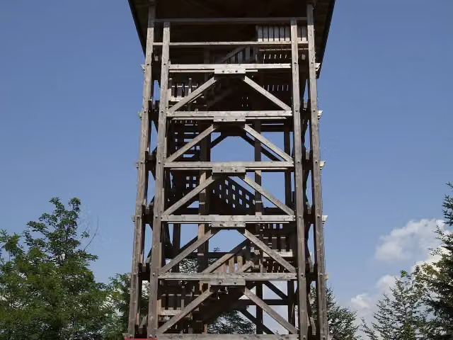 RiesbergturmObservation tower · 759 m from the route
- 21
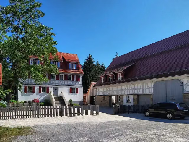 Burg WartAttraction · 821 m from the route
- 22
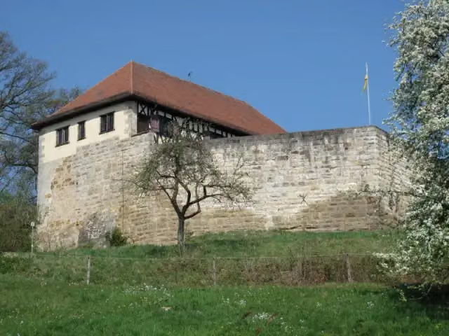 WäscherschlossCastle · 1 km from the route
- 23
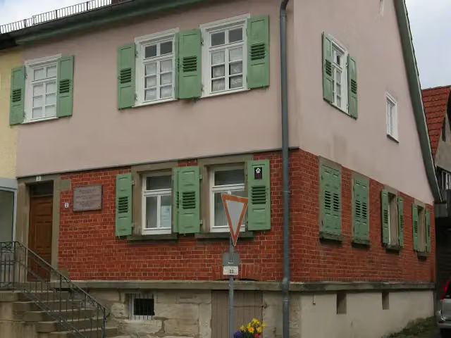 Bauspar MuseumMuseum · 1.3 km from the route
- 24
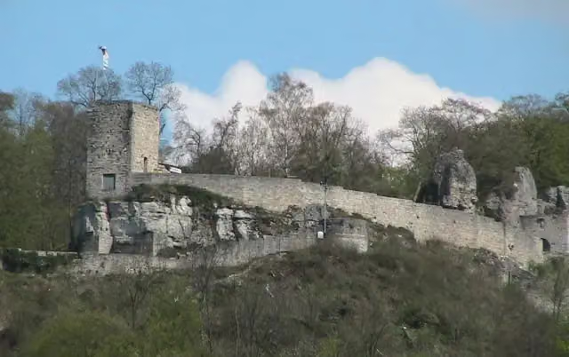 Burgruine HelfensteinAttraction · 1.3 km from the route
- 25
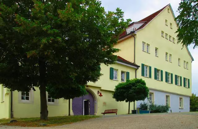 Schloss UrbachCastle · 1.5 km from the route
Explore more
More cycle routes around Geislingen an der Steige
Frequently asked questions
How long is E-Bike-Region Stuttgart (Nordost)?
E-Bike-Region Stuttgart (Nordost) is 183.5 km long. Allow ± 12:15 h of riding: 15 km an hour, without breaks.
Is this route a circular ride?
No, the route runs from Geislingen an der Steige to Erdmannhausen.
Where does this route start?
The route starts in Geislingen an der Steige.
How hard is this route?
Hard, with 2,166 m of climbing.
Are there toilets along this route?
Yes, there are 18 public toilets within 100 m of the route. The longest stretch without a toilet is 45.6 km.
Can you fill up with water along this route?
Yes, there are 2 water fountains and refill points within 100 m of the route.
What is there to see along this route?
Along the way you pass Reinhold-Maier-Turm, Reinhold-Maier-Turm and Kloster Adelberg.
Can I download this route as a GPX file?
Yes. Sign in with your Outdoor Pitstop account and choose Download GPX at the top of this page: 10 routes a month for free, unlimited with Pro.
Starting point
More routes from this place
Route data © OpenStreetMap contributors





