 Outdoor Pitstop
Cycle route · Kirchberg an der Murr · Updated on 14 November 2026
E-Bike Region Stuttgart cycle route
E-Bike Region Stuttgart is a cycle route of 394.8 km from Kirchberg an der Murr that starts and ends at the same spot. Along the way you'll find 1,323 benches, 15 water fountains and refill points, 52 public toilets, 22 bike pumps and 9 honesty boxes and farm vending machines.
i
i
i
The route step by step
From start to finish, with what you pass along the way and the distance in between.
- 394.8 km
- ± 6:35 h per stage
- ↑ 3,883 m · ↓ 3,888 m
- Hard per stage
- Circular ride
- Regional route
Start in Kirchberg an der Murr
0 km6.4 km · 17 benches
Bike pump
6.4 km2.9 km · 9 benches
Bike pump
9.3 km1.2 km · 3 benches

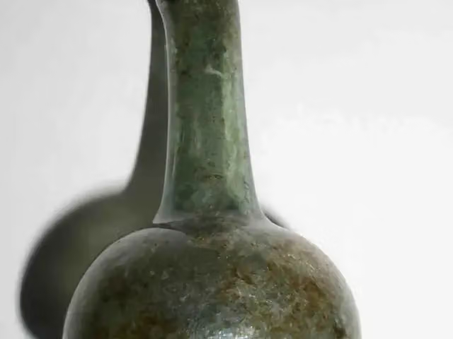
Museum im Adler
10.5 kmMuseum
5.9 km · 7 benches
Bike pump
16.4 km6.9 km · 18 benches
Public toilet
23.3 km3.6 km · 61 benches
Public toilet
26.9 km263 m · 5 benches
Water point
27.2 km5.3 km · 18 benches
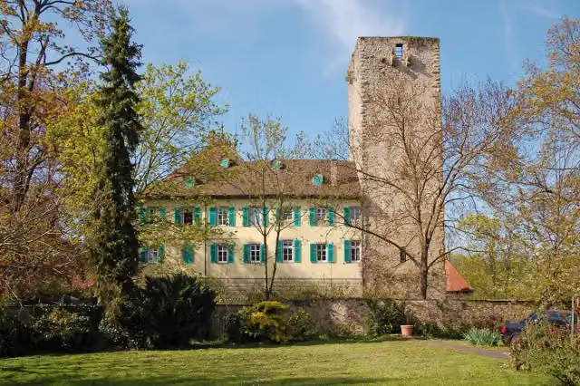
Schloss Unterriexingen
32.5 kmCastle
674 m · 6 benches
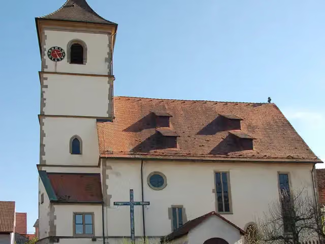
Evangelische Pfarrkirche
33.2 kmAttraction
791 m · 8 benches
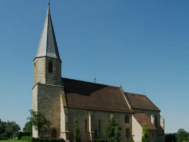
Frauenkirche
34 km2 public toilets
9.5 km · 28 benches
Public toilet
43.5 km882 m · 24 benches
Public toilet and bike pump
44.4 km1.9 km · 6 benches
Honesty box
46.3 km5.8 km · 21 benches
Ditzinger Schloss
52.1 kmCastle
295 m · 15 benches
Public toilet
52.4 km4.9 km · 11 benches
Bike pump
57.2 km3.3 km · 33 benches
2 honesty boxes and farm vending machines
60.5 km433 m · bench
2 public toilets and bike pump
61 km3.1 km · 12 benches
Honesty box
64.1 km4.2 km · 39 benches
Public toilet
68.3 km2.2 km · 9 benches
Water point
70.5 km5.7 km · 52 benches
Rabenturm and 1 more
76.2 kmSpitalkapelle and honesty box
362 m · 27 benches
Public toilet
76.5 km2.8 km · 15 benches
Public toilet
79.4 km21.4 km · 63 benches
Public toilet
100.8 km190 m · 10 benches
2 public toilets and bike pump
101 km163 m · 12 benches
3 public toilets
101.2 km493 m · 15 benches
Public toilet
101.7 km2.5 km · 12 benches
Public toilet and bike pump
104.1 km
Show the other 55 steps
163 m · 4 benches
Public toilet
104.3 km7 km · 21 benches
Water point
111.3 km5.1 km · 4 benches
Public toilet
116.4 km10.7 km · 29 benches
Museum Ritter
127.1 kmMuseum
794 m · 10 benches
Museum der Alltagskultur and 2 more
127.9 kmSchloss Waldenbuch, Alte Zehntscheuer and public toilet
221 m · bench
Honesty box
128.1 km6.5 km · 10 benches
Bike pump
134.6 km2.6 km · 5 benches
Bike pump
137.2 km814 m · bench
Bike pump and honesty box
138 km2.3 km
Postillion
140.3 kmBike pump
3.1 km · 7 benches
Public toilet
143.5 km2.9 km · 32 benches
Stadtmuseum Nürtingen
146.4 kmMuseum
153 m · 14 benches
Stadtbalkon Nürtingen
146.5 kmPublic toilet, 2 water fountains and refill points and bike pump
704 m · 17 benches
Public toilet and bike pump
147.2 km14 km · 39 benches
Deutsches Ordensmuseum
161.2 kmMuseum
184 m · 7 benches
Public toilet and water point
161.4 km2.9 km · 13 benches
3 public toilets and 5 water fountains and refill points
164.3 km10 km · 82 benches
Public toilet
174.3 km18.3 km · 61 benches
Schloss Wiesensteig
192.5 kmCastle
446 m · 3 benches
Water point
193 km686 m · 2 benches
Bike pump
193.7 km2.1 km · 5 benches
Public toilet
195.8 km3.3 km · 27 benches
Public toilet
199.1 km2.2 km · 14 benches
Honesty box
201.3 km7 km · 18 benches
Public toilet and water point
208.4 km4.1 km · 25 benches
Public toilet
212.5 km17.4 km · 18 benches
Bike pump
229.9 km10.5 km · 19 benches
Public toilet
240.4 km5.5 km · 13 benches
Public toilet
245.8 km690 m
Public toilet
246.5 km4.8 km · 13 benches
Water point and bike pump
251.3 km1.1 km · bench
Public toilet
252.4 km7.1 km · 2 benches
Reinhold-Maier-Turm and 1 more
259.5 kmReinhold-Maier-Turm
6 km · 9 benches
Kloster Adelberg
265.5 kmAttraction
13.8 km · 27 benches
Public toilet
279.3 km3 km · 8 benches
Bike pump
282.3 km1.3 km · 15 benches
Public toilet
283.6 km3.1 km · 3 benches
Bike pump
286.7 km6.3 km · 24 benches
Public toilet
293 km5.4 km · 5 benches
Kastell Lorch
298.4 kmPublic toilet
604 m · 33 benches
Public toilet
299 km6.6 km · 5 benches
Bike pump
305.5 km3.1 km · 4 benches
Public toilet
308.6 km5.4 km · 13 benches
Public toilet
314 km330 m · 15 benches
Gedenk- und Dokumentationsstätte Konzentrationslager Welzheim
314.4 kmPublic toilet
7 km · 3 benches
Public toilet
321.3 km153 m
Public toilet
321.5 km841 m · 13 benches
Public toilet
322.3 km6.2 km · 11 benches
Honesty box
328.5 km8 km · 5 benches
Stadtkirche Murrhardt and 1 more
336.5 kmWalterichskapelle, public toilet and bike pump
151 m · 3 benches
Water point
336.7 km12.5 km · 17 benches
Public toilet
349.2 km18.1 km · 16 benches
Glasmuseum Spiegelberg
367.3 kmBike pump
9.8 km · 4 benches
Prinz Friedrichs Kochherd
377.1 kmAttraction
17.7 km · 15 benches
Back at the start
394.8 km
Longest stretch without a toilet: 45.6 kmBetween 349.2 km and 394.8 km there is no public toilet within 100 m of the route.
The route with the water points, toilets and sights within 100 m of it.
25 sights along the way
In the order you pass them. With the Outdoor Pitstop app you hear their story on the spot. 17 more along the route are on the map.

Museum · after 10.5 km
i
Photo: P. Fendrich · Wikimedia Commons · CC BY 3.0View the photo on Wikimedia CommonsCastle · after 32.5 km
i
Photo: P. Fendrich · Wikimedia Commons · CC BY 3.0View the photo on Wikimedia CommonsAttraction · after 33.2 km
i
Photo: Pilettes · Wikimedia Commons · CC BY-SA 3.0View the photo on Wikimedia CommonsAttraction · after 34 km
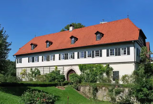
Castle · after 52.1 km
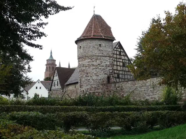
i
Photo: Silesia711 · Wikimedia Commons · CC BY-SA 4.0View the photo on Wikimedia CommonsAttraction · after 76.2 km
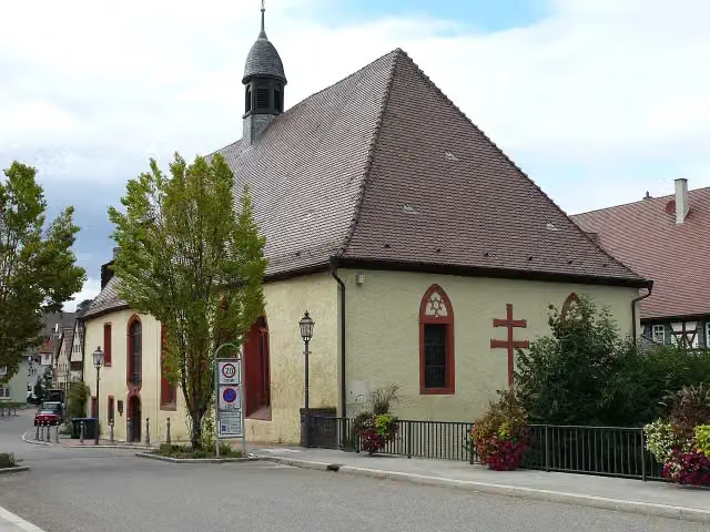
i
Photo: Silesia711 · Wikimedia Commons · CC BY-SA 4.0View the photo on Wikimedia CommonsAttraction · after 76.3 km
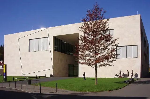
Museum · after 127.1 km
Stages (4)
Elevation and terrain
- Up
- ↑ 3,883 m
- Down
- ↓ 3,888 m
- Highest point
- 797 m
- Lowest point
- 182 m
- 5-10% slope · 36.8 km
- 10-15% slope · 1.2 km
Elevation from Copernicus GLO-30 (European Union and ESA), smoothed.
produced using Copernicus WorldDEM-30 © DLR e.V. 2010-2014 and © Airbus Defence and Space GmbH 2014-2018 provided under COPERNICUS by the European Union and ESA; all rights reserved
Way types
394.8 km in total- Track: 159.5 km
- Street: 92.1 km
- Road: 87.6 km
- Path: 37.8 km
- Busy road: 9.6 km
- Footpath (walk your bike): 4.6 km
- Cycle path: 2.3 km
Surfaces
394.8 km in total- Asphalt: 294 km
- Gravel: 57 km
- Paved: 15.3 km
- Unpaved: 600 m
- Unknown: 26.5 km
About the cycle route E-Bike Region Stuttgart
Updated on 14 November 2026, with data from OpenStreetMap, the AHN and Copernicus.
Where do you cycle?
E-Bike Region Stuttgart is a circular ride of 394.8 km from Kirchberg an der Murr: it starts and ends in the same place. Along the way you pass Museum im Adler (after 10.5 km), Schloss Unterriexingen (after 32.5 km) and Evangelische Pfarrkirche (after 33.2 km).
How hard is the route?
You climb 3,883 m in total and descend 3,888 m. Allow ± 6:35 h per stage, without breaks. Per stage the level is hard.
What roads do you cycle on?
The longest part is track (159.5 km), street (92.1 km) and road (87.6 km). Of the surface, 294 km asphalt and 57 km gravel. For 26.5 km the surface is not known.
Pitstops along the way
Within 100 metres of the route there are 1,323 benches, 15 water fountains and refill points, 52 public toilets, 22 bike pumps and 9 honesty boxes and farm vending machines. The longest stretch without a toilet is 45.6 km. The Outdoor Pitstop app navigates you there.
Cycle routes nearby
6- Jubiläumsradweg 50 Jahre Landkreis LudwigsburgHard · From A to B69.7 km
- Murrtal-RadwegModerate · From A to B48.3 km
- Stromberg-Murrtal-RadwegHard · From A to B164.1 km
- Deutsche Fachwerkstraße Abschnitt Bietigheim-KirchheimHard · From A to B107.6 km
- Murrtal-Aspacher WeinbergeModerate · Circular ride45.2 km
- RadNETZ Oberstenfeld - MarbachEasy · From A to B14.4 km
Sights nearby
Within 10 km of the route, best known first.
- 1
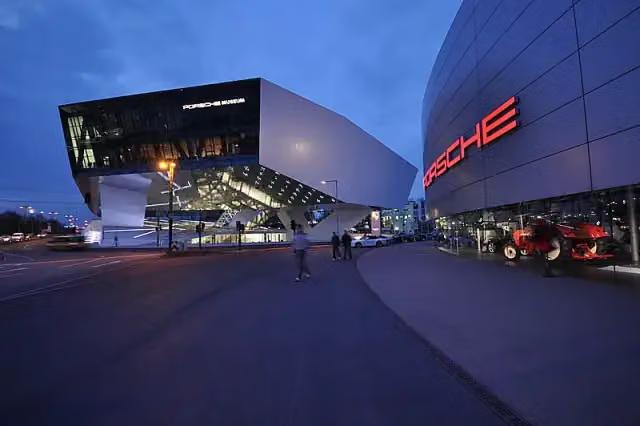 Porsche MuseumMuseum · 6.2 km from the route
- 2
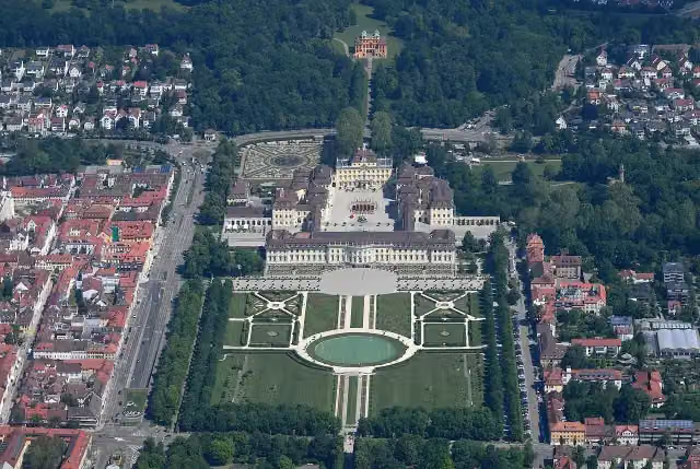 Schloss LudwigsburgAttraction · 4.4 km from the route
- 3
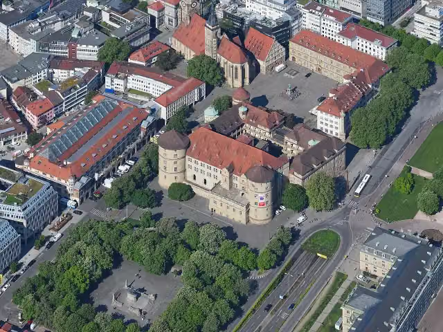 Altes SchlossCastle · 10 km from the route
- 4
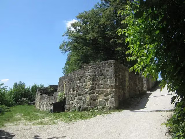 Burgruine HohenstaufenCastle · 190 m from the route
- 5
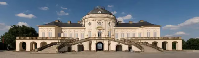 Schloss SolitudeAttraction · 4.1 km from the route
- 6
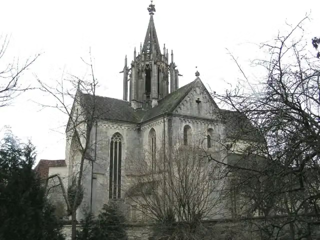 Kloster BebenhausenMuseum · 6.4 km from the route
- 7
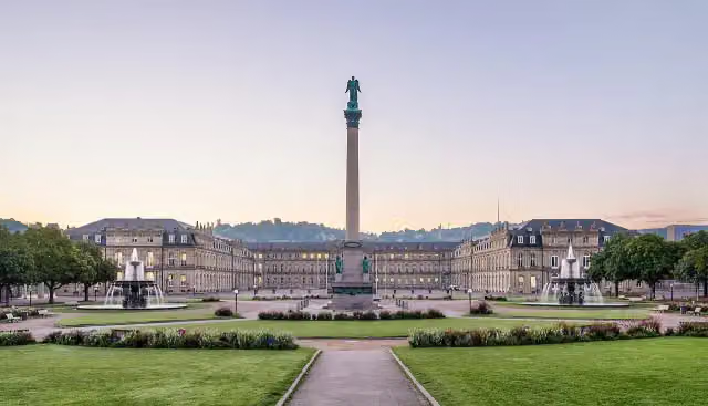 SchlossplatzAttraction · 9.9 km from the route
- 8
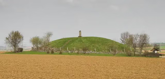 Hochdorf Chieftain's GraveArchaeological site · 3.7 km from the route
- 9
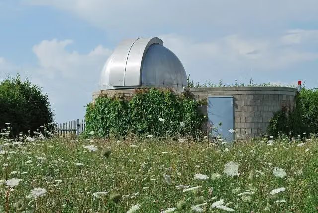 Sternwarte HöfingenAttraction · 833 m from the route
- 10
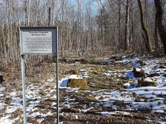 Ehemaliges Gräberfeld, Bernhäuser ForstMemorial · 2 km from the route
- 11
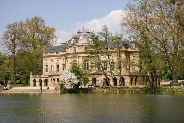 Monrepos CastleAttraction · 2.7 km from the route
- 12
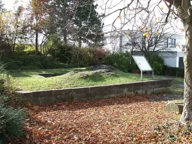 Burg FrauenbergCastle · 7.3 km from the route
- 13
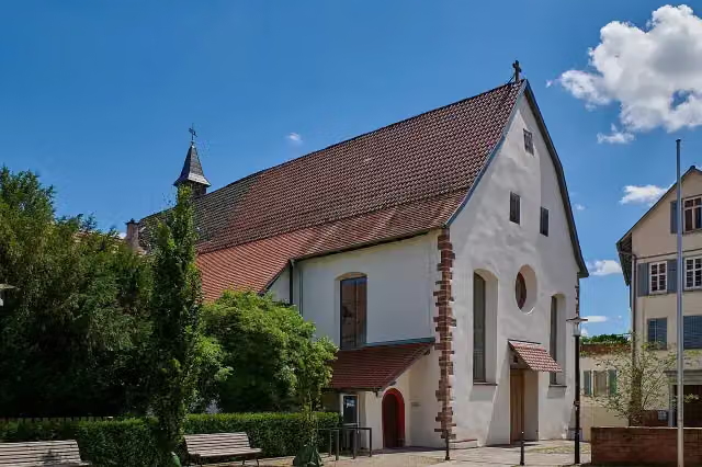 KlösterleAttraction · 88 m from the route
- 14
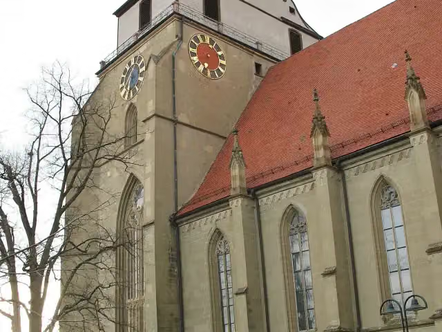 GlockenmuseumMuseum · 101 m from the route
- 15
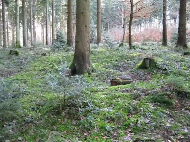 Röm. Kleinkastell EbniseeArchaeological site · 102 m from the route
- 16
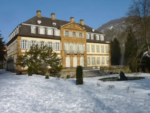 Schloss EybachCastle · 103 m from the route
- 17
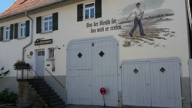 Dorf- und HeimatmuseumMuseum · 112 m from the route
- 18
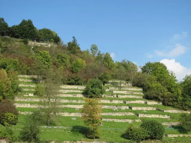 Burgruine SteinheimCastle · 120 m from the route
- 19
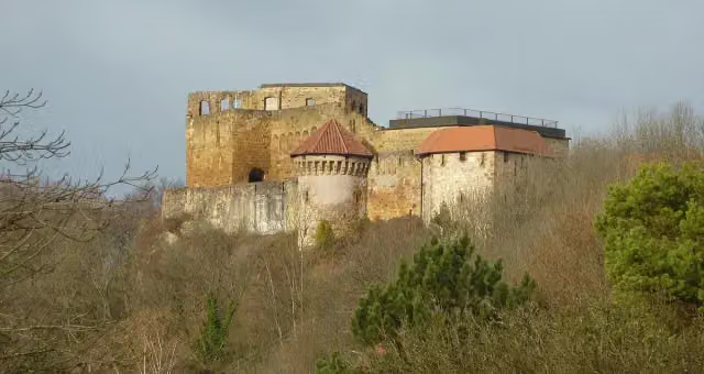 HohenrechbergCastle · 121 m from the route
- 20
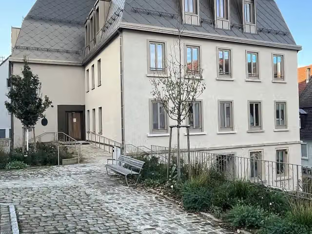 HölderlinhausAttraction · 123 m from the route
- 21
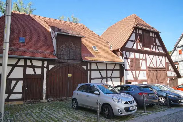 PfarrscheuerAttraction · 126 m from the route
- 22
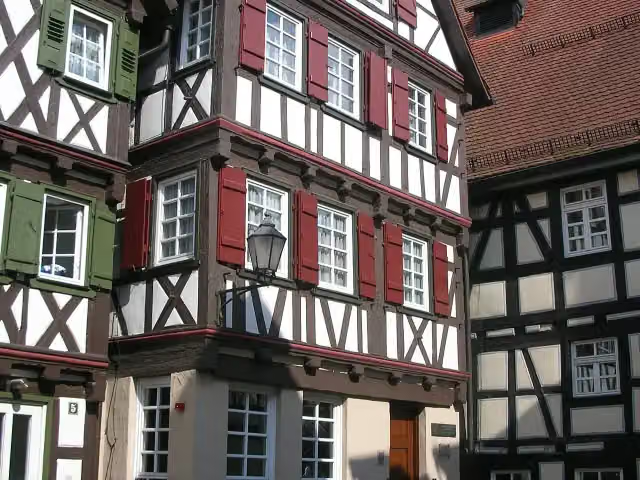 Gottlieb-Daimler-GeburtshausMuseum · 141 m from the route
- 23
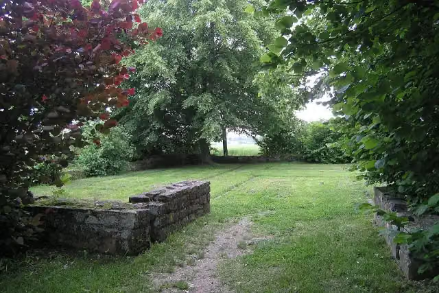 Kleinkastell RötelseeAttraction · 142 m from the route
- 24
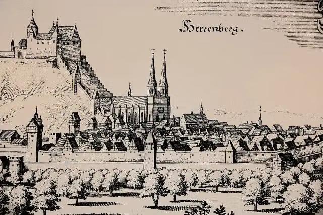 SchlossbergRuins · 144 m from the route
- 25
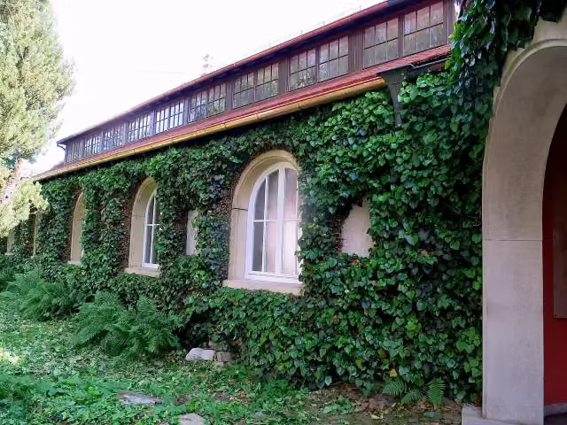 Carl-Schweizer-MuseumMuseum · 144 m from the route
Explore more
More cycle routes around Kirchberg an der Murr
Frequently asked questions
How long is E-Bike Region Stuttgart?
E-Bike Region Stuttgart is 394.8 km long, in 4 parts of 98.7 km on average. Allow ± 6:35 h per part of riding: 15 km an hour, without breaks.
Is this route a circular ride?
Yes, the route starts and ends at the same spot.
Where does this route start?
The route starts in Kirchberg an der Murr.
How hard is this route?
Hard per stage, with 971 m per stage of climbing.
Are there toilets along this route?
Yes, there are 52 public toilets within 100 m of the route. The longest stretch without a toilet is 45.6 km.
Can you fill up with water along this route?
Yes, there are 15 water fountains and refill points within 100 m of the route.
What is there to see along this route?
Along the way you pass Museum im Adler, Schloss Unterriexingen and Evangelische Pfarrkirche.
Can I download this route as a GPX file?
Yes. Sign in with your Outdoor Pitstop account and choose Download GPX at the top of this page: 10 routes a month for free, unlimited with Pro.
Starting point
More routes from this place
Route data © OpenStreetMap contributors





