 Outdoor Pitstop
Cycle route · Nördlingen · Updated on 14 November 2026
GeoRadweg Altmühltal Route 1 cycle route
GeoRadweg Altmühltal Route 1 is a cycle route of 193.9 km from Nördlingen. Along the way you'll find 292 benches, 14 water fountains and refill points, 28 public toilets, 8 bike pumps and 1 honesty box.
i
i
The route step by step
From start to finish, with what you pass along the way and the distance in between.
- 193.9 km
- ± 12:55 h
- ↑ 1,111 m · ↓ 1,203 m
- Hard
- From A to B
- Regional route
Start in Nördlingen
0 kmAt the start: water point.
904 m · 14 benches
Public toilet
904 m19.7 km · 4 benches

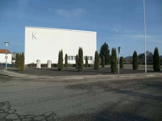
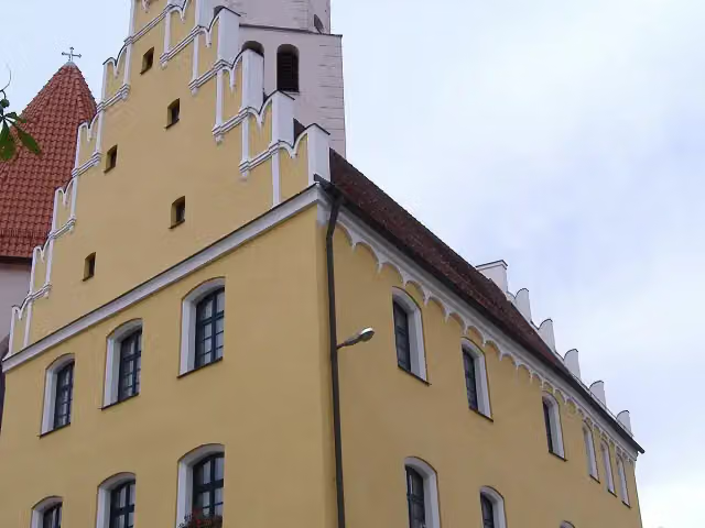
KunstMuseum Donau-Ries
20.6 kmMuseum
481 m · 3 benches
Public toilet
21.1 km271 m
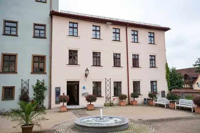
Heimatmuseum
21.3 km2 public toilets and bike pump
31 km · 34 benches
2 public toilets and water point
52.3 km172 m · 19 benches
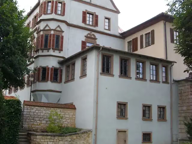
Aurnhammer-Sammlung and 1 more
52.5 kmSchloss Treuchtlingen
8 km · 18 benches
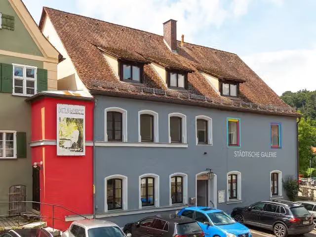
Städtische Galerie and 1 more
60.5 kmNeues Schloß, public toilet and 2 water fountains and refill points
152 m · 2 benches
Altes Schloss
60.7 kmWater point
177 m · 2 benches
Water point
60.8 km6.8 km · 24 benches
Sola Basilika
67.7 kmWater point
180 m
Bürgermeister-Müller-Museum
67.8 km2 public toilets and bike pump
600 m · 5 benches
2 public toilets
68.4 km5.7 km · 5 benches
Public toilet, water point and bike pump
74.2 km5.3 km · 8 benches
Altmühlzentrum
79.4 kmPublic toilet
521 m · 8 benches
Water point
80 km8.3 km · 2 benches
Museum Bergér
88.3 kmMuseum
6.4 km · 25 benches
2 public toilets and water point
94.7 km170 m · 11 benches
Bike pump
94.9 km186 m · 3 benches
Spiegelsaal und Prunkzimmer
95 kmWater point
718 m
Public toilet
95.8 km346 m
Water point
96.1 km489 m · bench
Public toilet
96.6 km3.6 km · 7 benches
Honesty box
100.2 km11.1 km · 11 benches
Burg Pfalzpaint
111.3 kmRuins
176 m
Public toilet
111.5 km2.9 km · 5 benches
Public toilet
114.4 km7.6 km · 20 benches
Public toilet and bike pump
122 km273 m
Limes-Gedenkstein
122.3 kmPublic toilet
265 m · bench
Public toilet
122.6 km
Show the other 12 steps
946 m · 3 benches
Römer- und Bajuwaren-Museum
123.5 kmMuseum
20.1 km · 6 benches
Schloss Schamhaupten
143.6 kmCastle
1.7 km · bench
Schloss Sandersdorf
145.3 kmCastle
16.1 km · 5 benches
Public toilet
161.4 km5.7 km · bench
Bike pump
167.1 km1.8 km · 4 benches
Public toilet
168.9 km1.2 km
Public toilet and bike pump
170.1 km4.9 km · 9 benches
Hundertwasser Kuchlbauerturm and 1 more
175 kmHundertwasser Kuchlbauerturm
2.9 km · 5 benches
Public toilet
177.8 km15.4 km · 20 benches
Orgelmuseum
193.2 kmMuseum
290 m · 2 benches
Public toilet and bike pump
193.5 km390 m · 2 benches
Finish
193.9 kmAt the finish: Archäologisches Museum, public toilet and 2 water fountains and refill points.
Longest stretch without a toilet: 38.8 kmBetween 122.6 km and 161.4 km there is no public toilet within 100 m of the route.
The route with the pitstops and sights within 100 m of it.
21 sights along the way
In the order you pass them. With the Outdoor Pitstop app you hear their story on the spot. 13 more along the route are on the map.
i
Photo: Tobi Merk · Wikimedia Commons · CC BY 3.0View the photo on Wikimedia CommonsMuseum · after 20.6 km
i
Photo: Manfi.B. · Wikimedia Commons · CC BY-SA 3.0View the photo on Wikimedia CommonsMuseum · after 21.4 km
i
Photo: Tilman2007 · Wikimedia Commons · CC BY-SA 4.0View the photo on Wikimedia CommonsMuseum · after 52.5 km
i
Photo: Aarp65 · Wikimedia Commons · CC BY-SA 3.0View the photo on Wikimedia CommonsCastle · after 52.5 km
i
Photo: Stefan Karl · Wikimedia Commons · CC BY-SA 4.0View the photo on Wikimedia CommonsMuseum · after 60.5 km
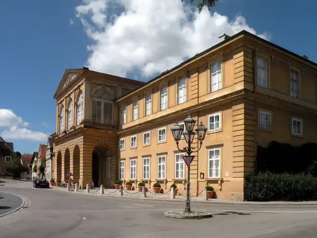
i
Photo: Vitold Muratov · Wikimedia Commons · CC BY-SA 3.0View the photo on Wikimedia CommonsAttraction · after 60.6 km

Castle · after 60.7 km
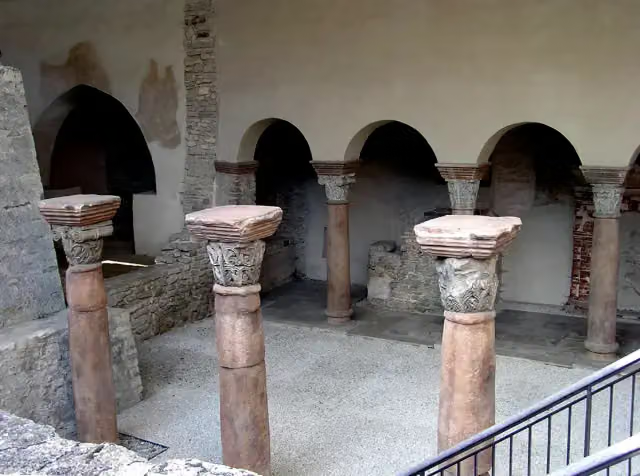
i
Photo: User Schubbay · Wikimedia Commons · CC BY-SA 3.0View the photo on Wikimedia CommonsArchaeological site · after 67.7 km
Elevation and terrain
- Up
- ↑ 1,111 m
- Down
- ↓ 1,203 m
- Highest point
- 611 m
- Lowest point
- 343 m
- 5-10% slope · 7.8 km
Elevation from Copernicus GLO-30 (European Union and ESA), smoothed.
produced using Copernicus WorldDEM-30 © DLR e.V. 2010-2014 and © Airbus Defence and Space GmbH 2014-2018 provided under COPERNICUS by the European Union and ESA; all rights reserved
Way types
193.9 km in total- Track: 86.6 km
- Road: 42.8 km
- Path: 31.3 km
- Street: 23.8 km
- Busy road: 5 km
- Cycle path: 3.2 km
- Footpath (walk your bike): 825 m
- Unknown: 75 m
Surfaces
193.9 km in total- Asphalt: 136.1 km
- Gravel: 42 km
- Paved: 4.7 km
- Unpaved: 25 m
- Unknown: 10.7 km
About the cycle route GeoRadweg Altmühltal Route 1
Updated on 14 November 2026, with data from OpenStreetMap, the AHN and Copernicus.
Where do you cycle?
GeoRadweg Altmühltal Route 1 is a cycle route of 193.9 km that starts in Nördlingen. It does not end where it starts. You start in Nördlingen and finish in Kelheim. Along the way you pass KunstMuseum Donau-Ries (after 20.6 km), Heimatmuseum (after 21.4 km) and Aurnhammer-Sammlung (after 52.5 km).
How hard is the route?
You climb 1,111 m in total and descend 1,203 m. Allow ± 12:55 h, without breaks. The level is hard.
What roads do you cycle on?
The longest part is track (86.6 km), road (42.8 km) and path (31.3 km). Of the surface, 136.1 km asphalt and 42 km gravel. For 10.7 km the surface is not known.
Pitstops along the way
Within 100 metres of the route there are 292 benches, 14 water fountains and refill points, 28 public toilets, 8 bike pumps and 1 honesty box. The longest stretch without a toilet is 38.8 km. The Outdoor Pitstop app navigates you there.
Part of GeoRadweg Altmühltal
Website of the routeCycle routes nearby
5Sights nearby
Within 10 km of the route, best known first.
- 1
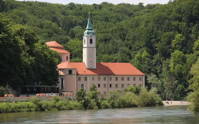 Kloster WeltenburgAttraction · 133 m from the route
- 2
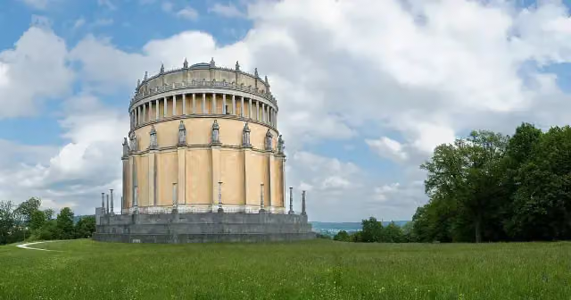 Hall of LiberationAttraction · 209 m from the route
- 3
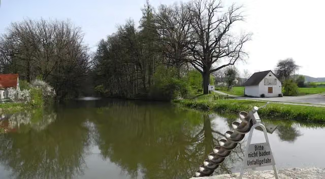 Fossa CarolinaAttraction · 3.6 km from the route
- 4
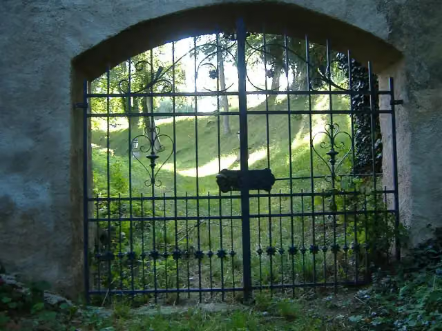 Schloss LierheimCastle · 4 km from the route
- 5
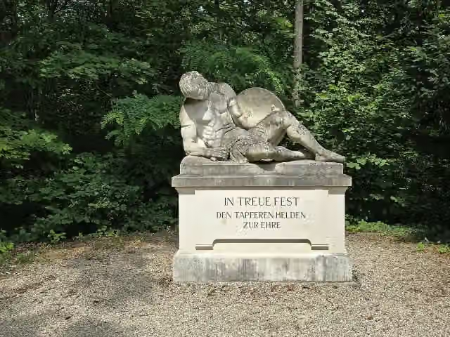 BezirkskriegerdenkmalMemorial · 91 m from the route
- 6
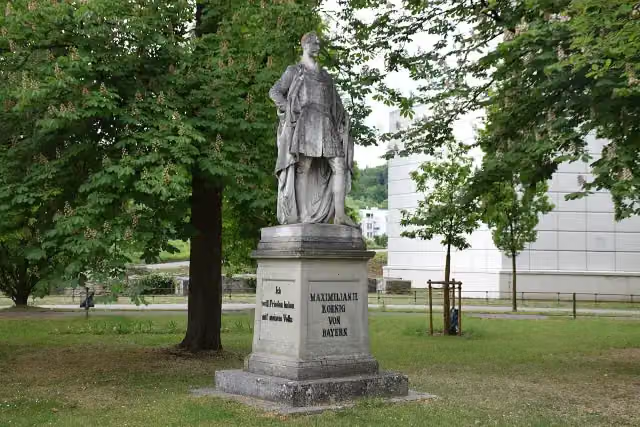 König-Maximilan-DenkmalMemorial · 101 m from the route
- 7
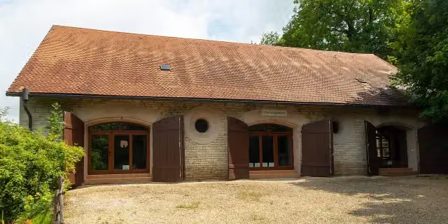 Natur- und JagdmuseumMuseum · 103 m from the route
- 8
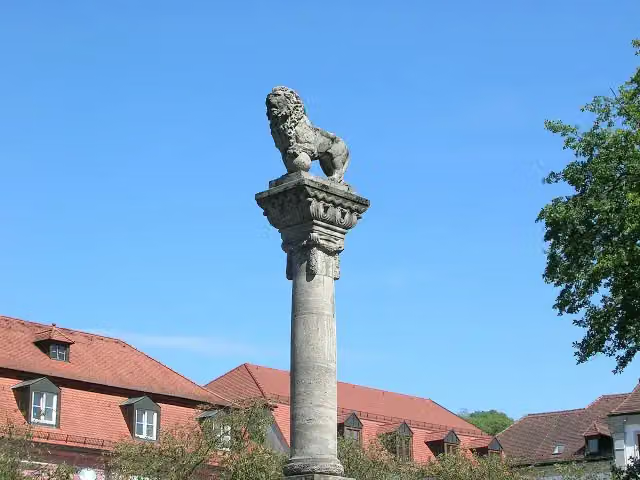 MemorialMemorial · 107 m from the route
- 9
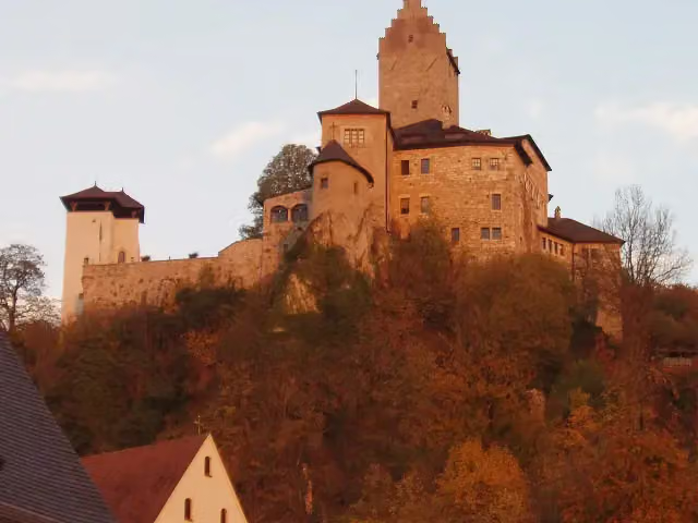 Burg KipfenbergCastle · 113 m from the route
- 10
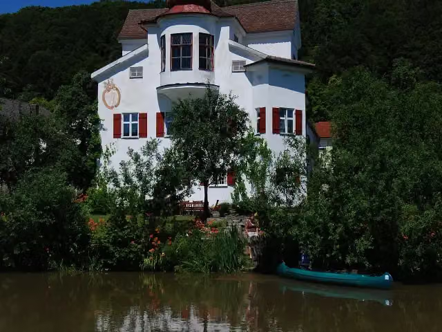 Schloss InchingCastle · 115 m from the route
- 11
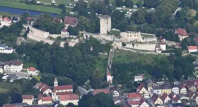 Burg PappenheimAttraction · 115 m from the route
- 12
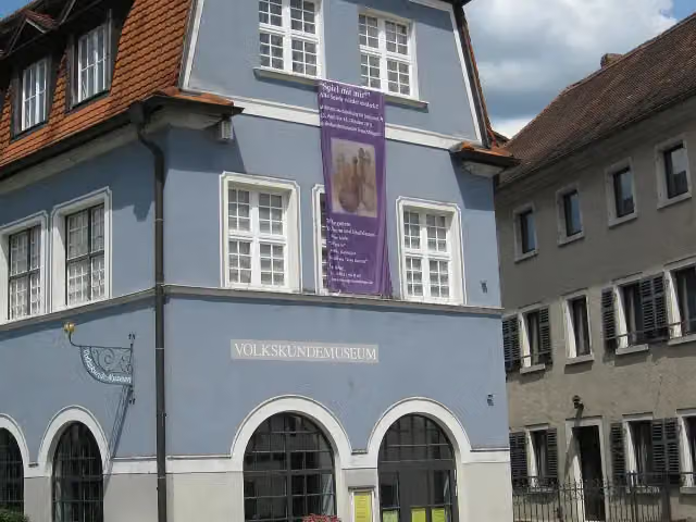 Museum TreuchtlingenMuseum · 119 m from the route
- 13
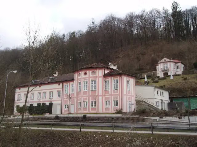 Cobenzl SchlösschenAttraction · 140 m from the route
- 14
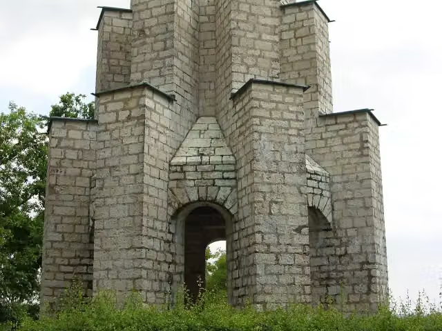 KriegerdenkmalMonument · 155 m from the route
- 15
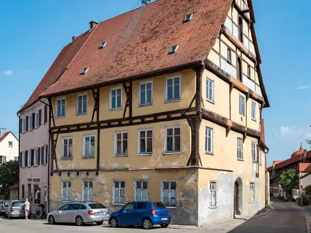 MünzhausAttraction · 156 m from the route
- 16
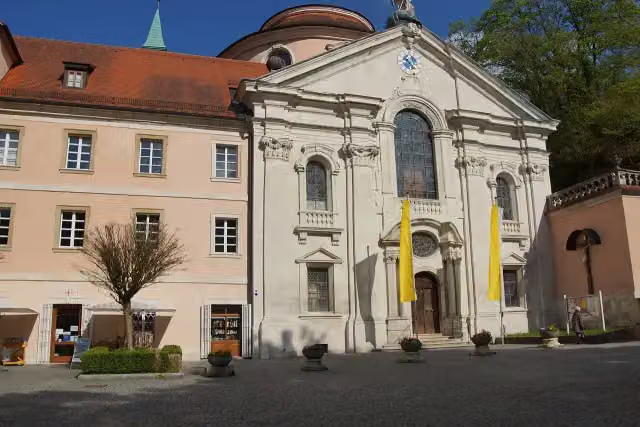 St. GeorgAttraction · 161 m from the route
- 17
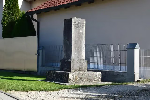 Römersäule PfünzMemorial · 163 m from the route
- 18
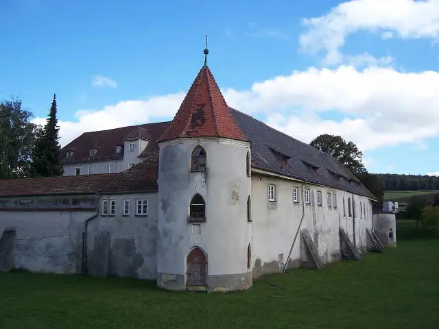 Schloss PolsingenCastle · 165 m from the route
- 19
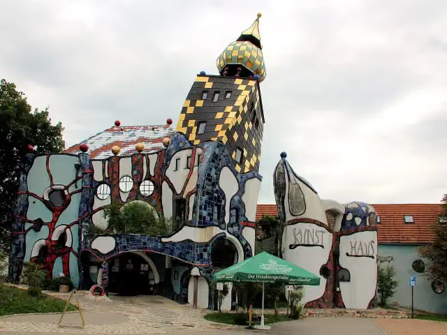 Kunsthaus AbensbergAttraction · 172 m from the route
- 20
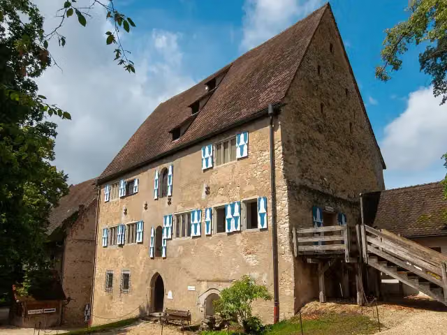 Historisches MuseumMuseum · 174 m from the route
- 21
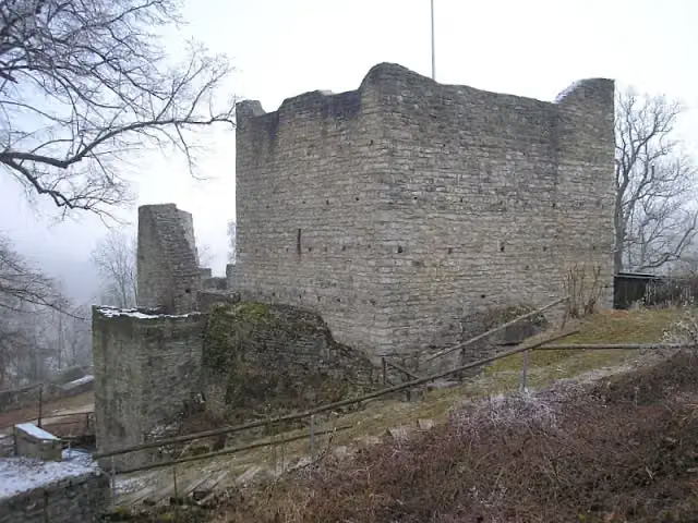 Burgruine TreuchtlingenCastle · 180 m from the route
- 22
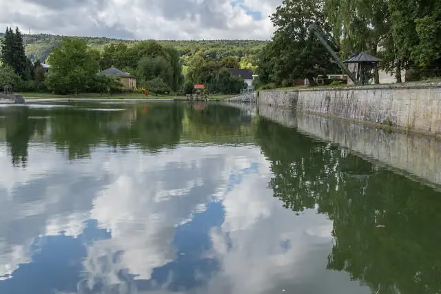 Kanalhafen KelheimAttraction · 190 m from the route
- 23
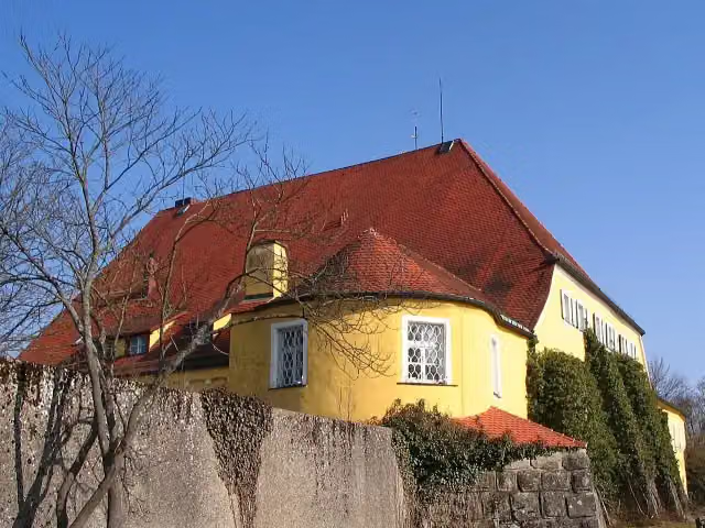 CastleCastle · 190 m from the route
- 24
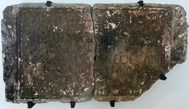 Museum für Ur- und FrühgeschichteMuseum · 225 m from the route
- 25
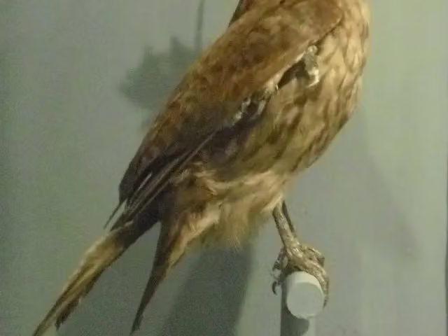 Jura-MuseumMuseum · 233 m from the route
Explore more
More cycle routes around Nördlingen
Frequently asked questions
How long is GeoRadweg Altmühltal Route 1?
GeoRadweg Altmühltal Route 1 is 193.9 km long. Allow ± 12:55 h of riding: 15 km an hour, without breaks.
Is this route a circular ride?
No, the route runs from Nördlingen to Kelheim.
Where does this route start?
The route starts in Nördlingen.
How hard is this route?
Hard, with 1,111 m of climbing.
Are there toilets along this route?
Yes, there are 28 public toilets within 100 m of the route. The longest stretch without a toilet is 38.8 km.
Can you fill up with water along this route?
Yes, there are 14 water fountains and refill points within 100 m of the route.
What is there to see along this route?
Along the way you pass KunstMuseum Donau-Ries, Heimatmuseum and Aurnhammer-Sammlung.
Can I download this route as a GPX file?
Yes. Sign in with your Outdoor Pitstop account and choose Download GPX at the top of this page: 10 routes a month for free, unlimited with Pro.
Starting point
More routes from this place
Route data © OpenStreetMap contributors





