 Outdoor Pitstop
Cycle route · Donauwörth · Updated on 14 November 2026
Schwäbische Alb Radweg cycle route
Schwäbische Alb Radweg is a cycle route of 419.6 km from Donauwörth. Along the way you'll find 702 benches, 21 water fountains and refill points, 31 public toilets, 17 bike pumps and 9 honesty boxes and farm vending machines.
i
i
i
The route step by step
From start to finish, with what you pass along the way and the distance in between.
- 419.6 km
- ± 28:00 h
- ↑ 4,136 m · ↓ 4,136 m
- Hard
- From A to B
- Regional route
Start in Donauwörth
0 km238 m

Local Museum and 2 more
238 mRieder Tor, Museum of Town History and water point
161 m · 8 benches
Water point
399 m368 m · 21 benches
Public toilet and water point
767 m164 m · 6 benches
Käthe-Kruse-Puppen-Museum
931 mWater point
12.2 km · 5 benches
Burgruine Wellwart
13.1 kmRuins
1.6 km · 10 benches
Public toilet, water point and honesty box
14.7 km24.2 km · 11 benches
Honesty box
38.9 km232 m · 7 benches
Münzhaus
39.2 kmAttraction
676 m · 9 benches
Public toilet
39.9 km12.4 km · 4 benches
Museum im Seelhaus
52.3 kmPublic toilet
2.2 km · 4 benches
Bike pump
54.4 km15.9 km · 11 benches
Härtsfeld-Museumsbahn
70.3 kmPublic toilet
375 m
Härtsfeldmuseum
70.7 kmPublic toilet
6.4 km · 10 benches
Public toilet
77.1 km7.5 km · 4 benches
Bike pump
84.6 km5.7 km · 3 benches
Korallen- und Heimatmuseum Nattheim
90.3 kmMuseum
14.1 km · 13 benches
Water point
104.4 km523 m · bench
Honesty box
104.9 km3.3 km · 3 benches
Meteorkratermuseum
108.2 kmPublic toilet
6.6 km · 8 benches
Honesty box
114.8 km12.8 km · 11 benches
Bike pump
127.6 km18.3 km · 9 benches
Bike pump
145.9 km3 km · 5 benches
Bike pump
148.9 km3.8 km · 7 benches
Bike pump
152.6 km7.1 km · 30 benches
Bike pump
159.8 km38.4 km · 31 benches
Heidengrabenzentrum
198.2 kmPublic toilet
5.9 km · 14 benches
2 water fountains and refill points
204.1 km175 m
Water point
204.3 km2.6 km · 15 benches
2 public toilets and water point
206.9 km
Show the other 39 steps
195 m · 9 benches
2 water fountains and refill points
207.1 km178 m · 3 benches
Residenzschloss Urach
207.2 kmCastle
514 m · 13 benches
Public toilet
207.8 km5 km · 4 benches
Public toilet
212.8 km9.3 km · 26 benches
Public toilet and bike pump
222.1 km422 m · 11 benches
Honesty box
222.6 km209 m
Public toilet and bike pump
222.8 km6.1 km · 13 benches
Bernheimersche Realschule
228.8 kmPublic toilet
162 m · 2 benches
Erinnerungsstätte Matthias Erzberger
229 kmMuseum
765 m · bench
Public toilet and bike pump
229.8 km6.7 km · 26 benches
Public toilet
236.5 km2.6 km · 8 benches
Public toilet
239.1 km388 m
2 honesty boxes and farm vending machines
239.5 km2.3 km
Bike pump
241.8 km328 m · 4 benches
Public toilet
242.1 km3.1 km · 4 benches
Bike pump
245.2 km4.4 km · 3 benches
Bike pump
249.6 km5.5 km · 5 benches
Public toilet
255.1 km3.3 km · 5 benches
Public toilet and water point
258.4 km6 km · 2 benches
2 public toilets
264.5 km34.9 km · 54 benches
Pumphäusle
299.4 kmMuseum
17.9 km · 26 benches
Water point
317.2 km299 m · 6 benches
Zehntscheuer Balingen and 3 more
317.5 kmZollernschloss Balingen, Museum für Waagen und Gewichte and Wasserturm
21.1 km · 54 benches
Water point
338.6 km12.1 km · 24 benches
Honesty box
350.7 km11.6 km · 4 benches
Water point
362.4 km5 km · 6 benches
Water point
367.3 km2.3 km · 6 benches
Water point and bike pump
369.6 km251 m · 2 benches
Public toilet
369.9 km5.9 km · 27 benches
Water point and bike pump
375.8 km4.5 km · 7 benches
Public toilet
380.3 km20.3 km · 34 benches
Aachquelle
400.5 kmBike pump
3.3 km · 8 benches
Honesty box
403.8 km1.6 km
Public toilet
405.4 km2.8 km · bench
Water point
408.3 km10.1 km · 21 benches
Public toilet and water point
418.3 km273 m · 4 benches
Public toilet
418.6 km824 m · 11 benches
Public toilet
419.4 km159 m · 8 benches
Finish
419.6 kmAt the finish: public toilet and bike pump.
Longest stretch without a toilet: 105.3 kmBetween 264.5 km and 369.9 km there is no public toilet within 100 m of the route.
The route with the pitstops and sights within 100 m of it.
21 sights along the way
In the order you pass them. With the Outdoor Pitstop app you hear their story on the spot. 13 more along the route are on the map.
i
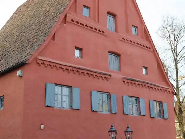
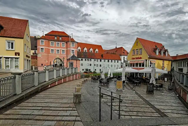
Photo: Tilman2007 · Wikimedia Commons · CC BY-SA 3.0View the photo on Wikimedia CommonsMuseum · after 238 m
i
Photo: PaulT (Gunther Tschuch) · Wikimedia Commons · CC BY-SA 4.0View the photo on Wikimedia CommonsAttraction · after 312 m
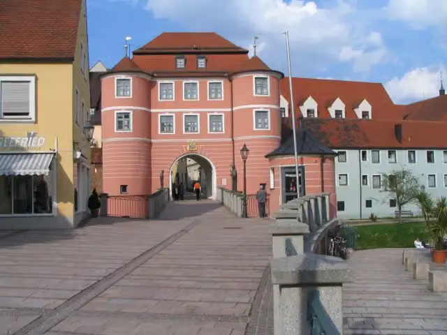
Museum · after 312 m

Museum · after 931 m
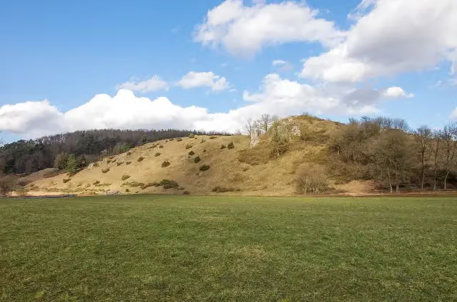
i
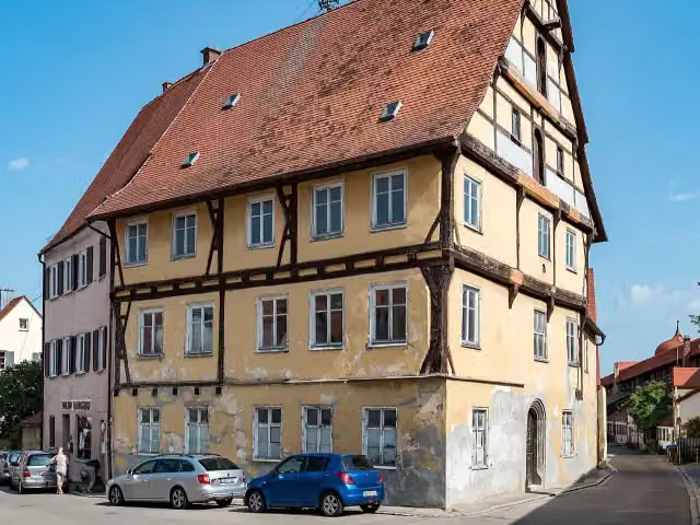
Photo: Rikiwiki2 · Wikimedia Commons · CC BY-SA 4.0View the photo on Wikimedia CommonsRuins · after 13.1 km
i
Photo: Tilman2007 · Wikimedia Commons · CC BY-SA 4.0View the photo on Wikimedia CommonsAttraction · after 39.2 km
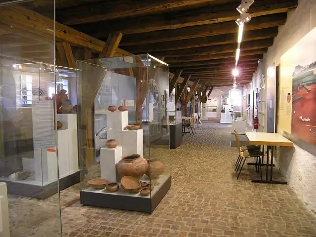
i
Photo: Ana al'ain · Wikimedia Commons · CC BY-SA 3.0View the photo on Wikimedia CommonsMuseum · after 52.4 km
Museum · after 70.3 km
Elevation and terrain
- Up
- ↑ 4,136 m
- Down
- ↓ 4,136 m
- Highest point
- 956 m
- Lowest point
- 363 m
- 5-10% slope · 31.6 km
Elevation from Copernicus GLO-30 (European Union and ESA), smoothed.
produced using Copernicus WorldDEM-30 © DLR e.V. 2010-2014 and © Airbus Defence and Space GmbH 2014-2018 provided under COPERNICUS by the European Union and ESA; all rights reserved
Way types
419.6 km in total- Track: 178.3 km
- Road: 101.7 km
- Street: 63.7 km
- Path: 43.3 km
- Cycle path: 18.4 km
- Busy road: 10.2 km
- Footpath (walk your bike): 3 km
Surfaces
419.6 km in total- Asphalt: 297.7 km
- Gravel: 50.1 km
- Paved: 23.2 km
- Unpaved: 1.4 km
- Unknown: 46.2 km
About the cycle route Schwäbische Alb Radweg
Updated on 14 November 2026, with data from OpenStreetMap, the AHN and Copernicus.
Where do you cycle?
Schwäbische Alb Radweg is a cycle route of 419.6 km that starts in Donauwörth. It does not end where it starts. You start in Donauwörth and finish in Bodman-Ludwigshafen. Along the way you pass Local Museum (after 238 m), Rieder Tor (after 312 m) and Museum of Town History (after 312 m).
How hard is the route?
You climb 4,136 m in total and descend 4,136 m. Allow ± 28:00 h, without breaks. The level is hard.
What roads do you cycle on?
The longest part is track (178.3 km), road (101.7 km) and street (63.7 km). Of the surface, 297.7 km asphalt and 50.1 km gravel. For 46.2 km the surface is not known.
Pitstops along the way
Within 100 metres of the route there are 702 benches, 21 water fountains and refill points, 31 public toilets, 17 bike pumps and 9 honesty boxes and farm vending machines. The longest stretch without a toilet is 105.3 km. The Outdoor Pitstop app navigates you there.
Cycle routes nearby
6- SAHard · From A to B247.8 km
- Zusam-RadwegHard · From A to B129 km
- Donauradweg - Abschnitt Deutschland 2Hard · From A to B84.4 km
- D-Route 6 - Donauroute [Ulm - Ingolstadt]Hard · From A to B154 km
- EuroVelo 6 - Atlantic-Black Sea - part Germany - Bavaria 1Hard · From A to B203 km
- Via Claudia AugustaHard · From A to B173.1 km
Sights nearby
Within 10 km of the route, best known first.
- 1
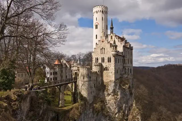 Schloss LichtensteinAttraction · 169 m from the route
- 2
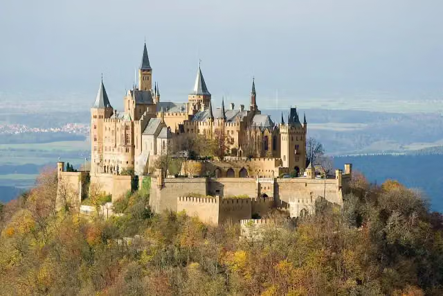 Hohenzollern CastleAttraction · 4 km from the route
- 3
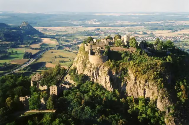 HohentwielViewpoint · 9.2 km from the route
- 4
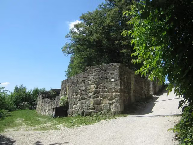 Burgruine HohenstaufenCastle · 7.6 km from the route
- 5
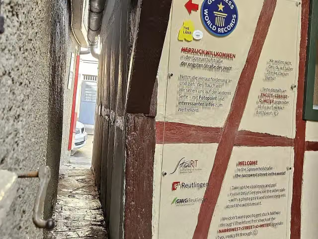 SpreuerhofstraßeAttraction · 8.3 km from the route
- 6
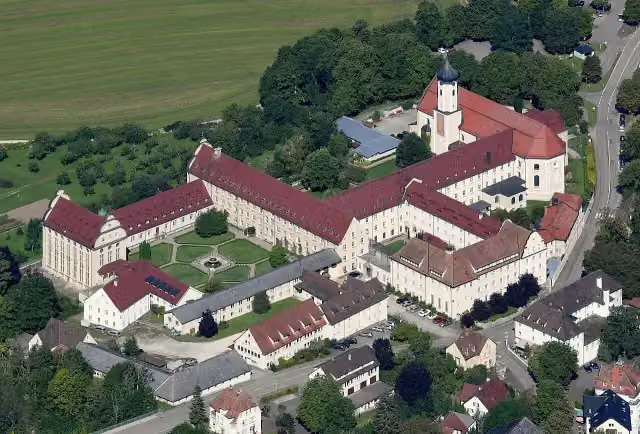 Kloster BeuronAttraction · 7.7 km from the route
- 7
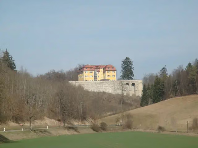 GrafeneckCastle · 1.2 km from the route
- 8
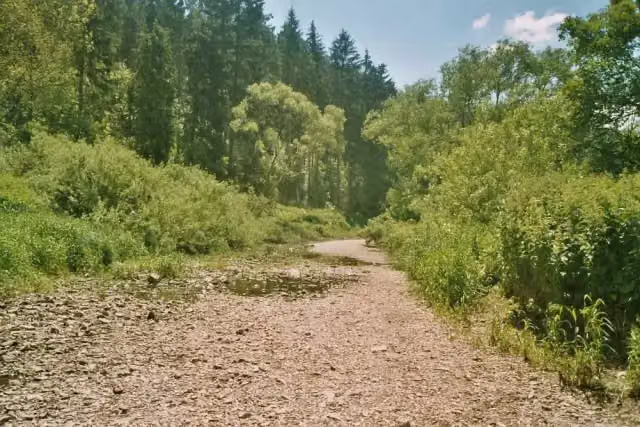 DonauversinkungAttraction · 224 m from the route
- 9
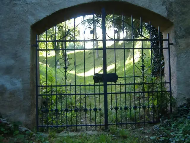 Schloss LierheimCastle · 2.3 km from the route
- 10
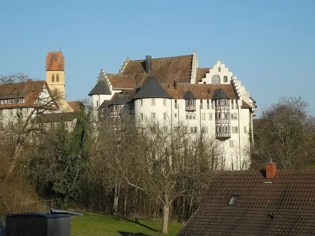 Schloss BlumenfeldCastle · 8.6 km from the route
- 11
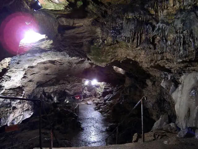 NebelhöhleAttraction · 124 m from the route
- 12
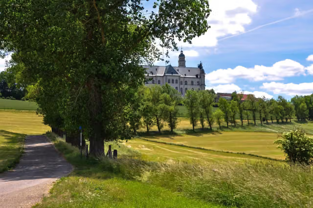
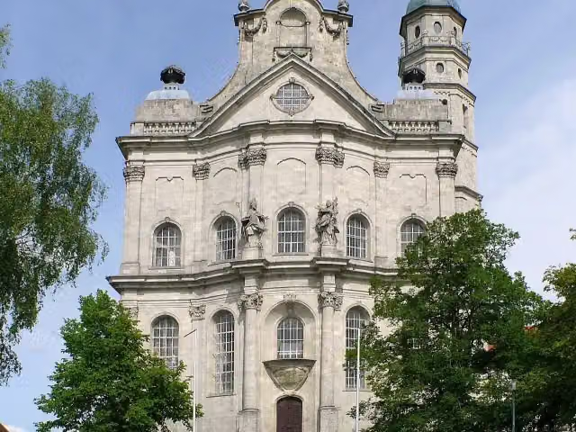 Abteikirche NeresheimAttraction · 129 m from the route
- 13
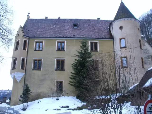 Schloss WeißensteinCastle · 144 m from the route
- 14
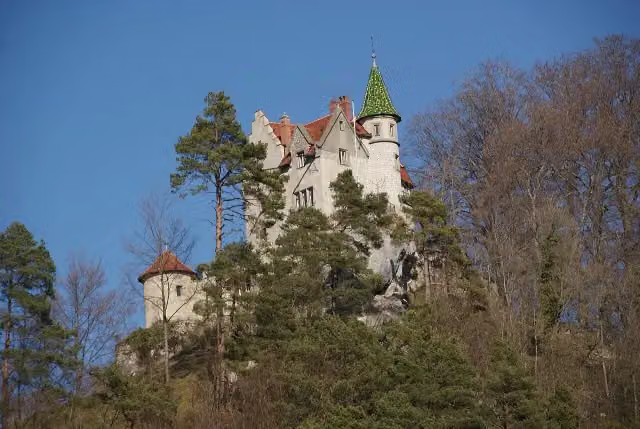 Schloss UhenfelsCastle · 145 m from the route
- 15
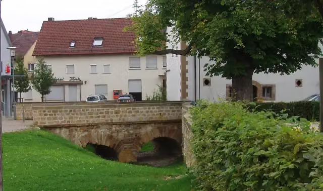 Schloss DürnauCastle · 149 m from the route
- 16
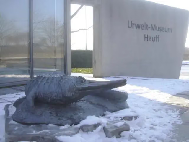 Urweltmuseum HauffMuseum · 159 m from the route
- 17
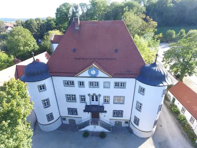 Schloß ReimlingenCastle · 180 m from the route
- 18
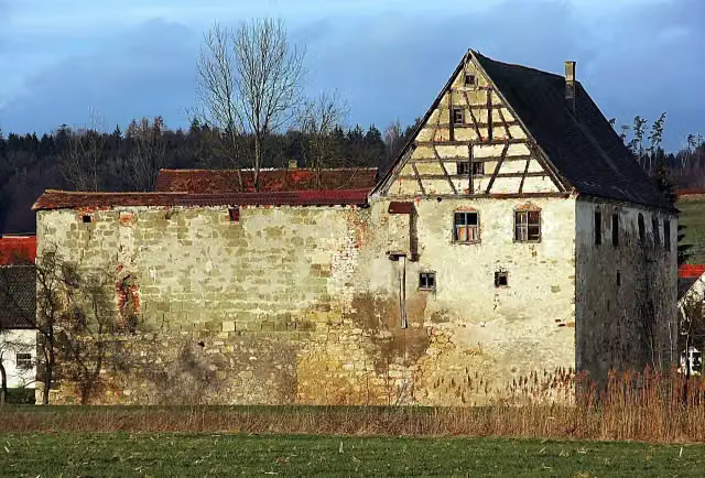 Wasserschloss TrochtelfingenCastle · 181 m from the route
- 19
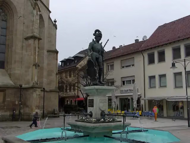 MarktbrunnenAttraction · 185 m from the route
- 20
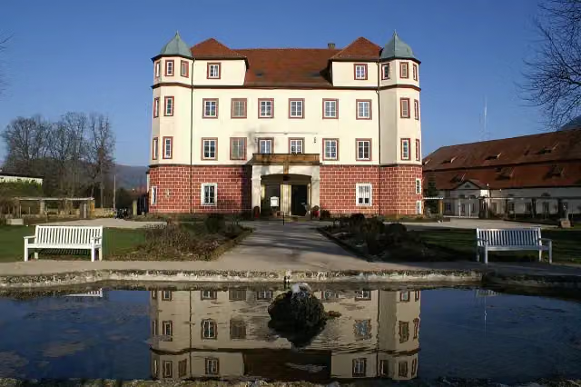 Schloss DonzdorfCastle · 187 m from the route
- 21
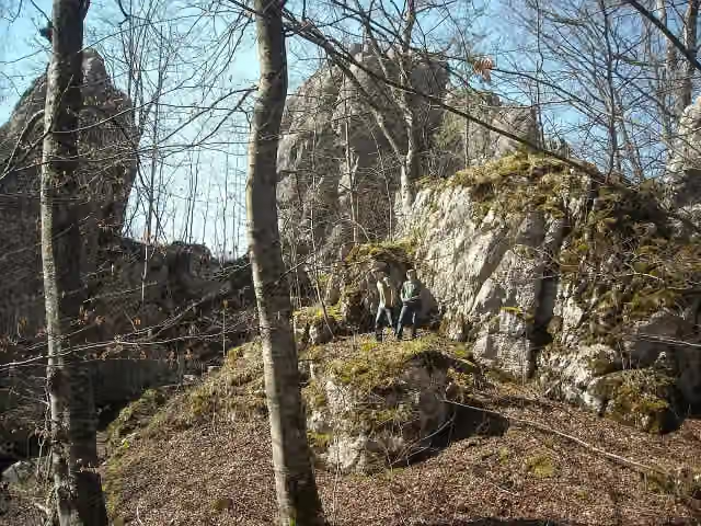 Ruine Burg BaldeckCastle · 192 m from the route
- 22
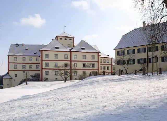 Schloss LangensteinCastle · 221 m from the route
- 23
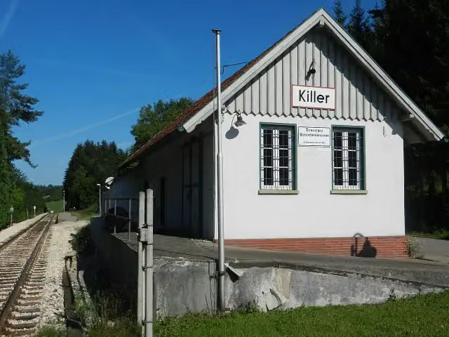 Deutsches PeitschenmuseumMuseum · 222 m from the route
- 24
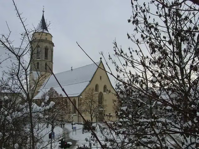 StadtkircheAttraction · 226 m from the route
- 25
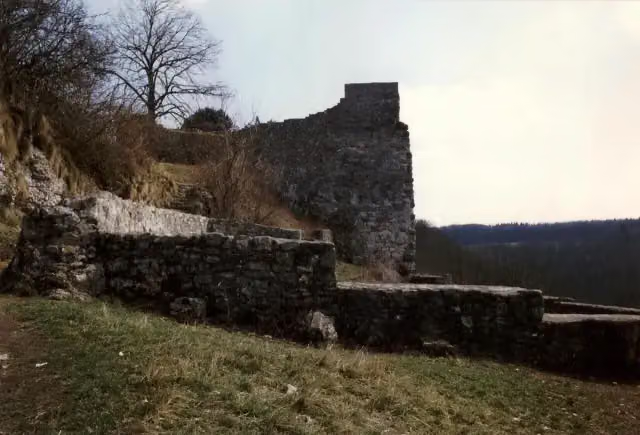 Ruine Burg HohenwittlingenCastle · 260 m from the route
Explore more
More cycle routes around Donauwörth
Frequently asked questions
How long is Schwäbische Alb Radweg?
Schwäbische Alb Radweg is 419.6 km long. Allow ± 28:00 h of riding: 15 km an hour, without breaks.
Is this route a circular ride?
No, the route runs from Donauwörth to Bodman-Ludwigshafen.
Where does this route start?
The route starts in Donauwörth.
How hard is this route?
Hard, with 4,136 m of climbing.
Are there toilets along this route?
Yes, there are 31 public toilets within 100 m of the route. The longest stretch without a toilet is 105.3 km.
Can you fill up with water along this route?
Yes, there are 21 water fountains and refill points within 100 m of the route.
What is there to see along this route?
Along the way you pass Local Museum, Rieder Tor and Museum of Town History.
Can I download this route as a GPX file?
Yes. Sign in with your Outdoor Pitstop account and choose Download GPX at the top of this page: 10 routes a month for free, unlimited with Pro.
Starting point
More routes from this place
Route data © OpenStreetMap contributors





