 Outdoor Pitstop
Cycle route · Neu-Ulm · Updated on 14 November 2026
Donauradweg - Abschnitt Deutschland 2 cycle route
Donauradweg - Abschnitt Deutschland 2 is a cycle route of 84.4 km from Neu-Ulm. Along the way you'll find 100 benches, 7 water fountains and refill points and 6 public toilets.
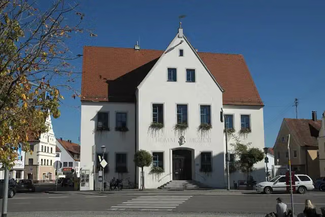
i
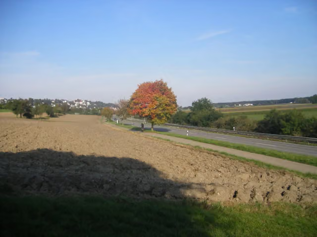
i
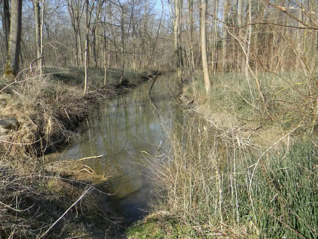
i
The route step by step
From start to finish, with what you pass along the way and the distance in between.
- 84.4 km
- ± 5:40 h
- ↑ 95 m · ↓ 156 m
- Hard
- From A to B
- International route
Start in Neu-Ulm
0 km2.2 km · 13 benches
Water point
2.2 km29.7 km · 20 benches
Public toilet
31.9 km4.5 km · 3 benches
Public toilet
36.3 km294 m

Sudetendeutsche Heimatstube
36.6 kmMuseum
3.5 km · 5 benches
Apollo-Grannus-Tempel
40.1 kmPublic toilet
2.2 km · 15 benches
Public toilet
42.3 km5.3 km · 18 benches
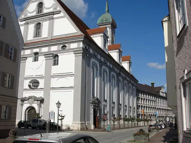
Studienkirche Mariä Himmelfahrt
47.7 kmAttraction
171 m
Stadt- und Hochstiftmuseum and 1 more
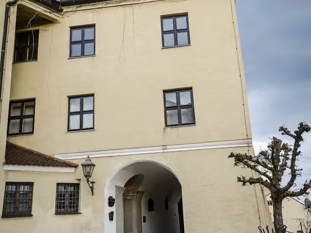
47.8 kmZeugnisse klösterlichen Lebens, public toilet and 3 water fountains and refill points
1.3 km · 6 benches
Water point
49.1 km8 km · 6 benches
Heimatmuseum
57.1 kmPublic toilet
217 m · 7 benches
Water point
57.4 km238 m · bench
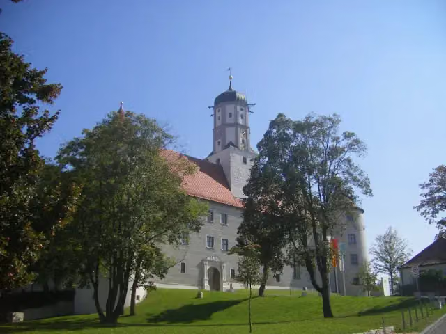
Schloss Höchstädt
57.6 kmCastle
7.9 km · 2 benches
Water point
65.5 km18.9 km · 4 benches
Finish
84.4 km
Longest stretch without a toilet: 31.9 kmBetween 0 km and 31.9 km there is no public toilet within 100 m of the route.
The route with the pitstops and sights within 100 m of it.
7 sights along the way
In the order you pass them. With the Outdoor Pitstop app you hear their story on the spot.

Museum · after 36.6 km
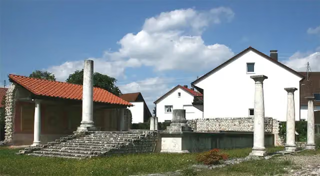
i
Photo: Dr. Eugen Lehle · Wikimedia Commons · CC BY-SA 3.0View the photo on Wikimedia CommonsArchaeological site · after 40.2 km
i
Photo: JohannesSch. (Serafim 89) · Wikimedia Commons · CC BY-SA 3.0View the photo on Wikimedia CommonsAttraction · after 47.7 km
i
Photo: Tilman2007 · Wikimedia Commons · CC BY-SA 3.0View the photo on Wikimedia CommonsMuseum · after 47.8 km
Museum · after 48 km
i
Photo: GFreihalter · Wikimedia Commons · CC BY-SA 3.0View the photo on Wikimedia CommonsMuseum · after 57.1 km
i
Photo: Szeder László · Wikimedia Commons · CC BY-SA 4.0View the photo on Wikimedia CommonsCastle · after 57.6 km
Elevation and terrain
- Up
- ↑ 95 m
- Down
- ↓ 156 m
- Highest point
- 470 m
- Lowest point
- 401 m
Nowhere steeper than 5%.
Elevation from Copernicus GLO-30 (European Union and ESA), smoothed.
produced using Copernicus WorldDEM-30 © DLR e.V. 2010-2014 and © Airbus Defence and Space GmbH 2014-2018 provided under COPERNICUS by the European Union and ESA; all rights reserved
Way types
84.4 km in total- Track: 28.2 km
- Road: 21.7 km
- Path: 17.6 km
- Street: 13.2 km
- Cycle path: 2.1 km
- Busy road: 1.4 km
- Footpath (walk your bike): 100 m
Surfaces
84.4 km in total- Asphalt: 54.5 km
- Gravel: 26.8 km
- Paved: 1.6 km
- Unpaved: 25 m
- Unknown: 1.3 km
About the cycle route Donauradweg - Abschnitt Deutschland 2
Updated on 14 November 2026, with data from OpenStreetMap, the AHN and Copernicus.
Where do you cycle?
Donauradweg - Abschnitt Deutschland 2 is a cycle route of 84.4 km that starts in Neu-Ulm. It does not end where it starts. You start in Rottenacker and finish in Donauwörth. Along the way you pass Sudetendeutsche Heimatstube (after 36.6 km), Apollo-Grannus-Tempel (after 40.2 km) and Studienkirche Mariä Himmelfahrt (after 47.7 km).
How hard is the route?
You climb 95 m in total and descend 156 m. Allow ± 5:40 h, without breaks. The level is hard.
What roads do you cycle on?
The longest part is track (28.2 km), road (21.7 km) and path (17.6 km). Of the surface, 54.5 km asphalt and 26.8 km gravel. For 1.3 km the surface is not known.
Pitstops along the way
Within 100 metres of the route there are 100 benches, 7 water fountains and refill points and 6 public toilets. You can fill your bottle after 2.2 km, after 47.8 km, after 47.9 km, after 49.1 km, after 57.4 km and after 65.5 km. The longest stretch without a toilet is 31.9 km. The Outdoor Pitstop app navigates you there.
Part of Donauradweg (DE)
Cycle routes nearby
6- Donauradweg - Abschnitt Baden-WürttembergHard · From A to B201.7 km
- D-Route 6 - Donauroute [Ulm - Ingolstadt]Hard · From A to B154 km
- EuroVelo 6 - Atlantic-Black Sea - part Germany - Bavaria 1Hard · From A to B203 km
- EuroVelo 6 - Atlantic-Black Sea - part Germany - Baden-WürttembergHard · From A to B243.7 km
- Württemberger TälerradwegHard · From A to B272.4 km
- Easy · From A to B5.1 km
Sights nearby
Within 10 km of the route, best known first.
- 1
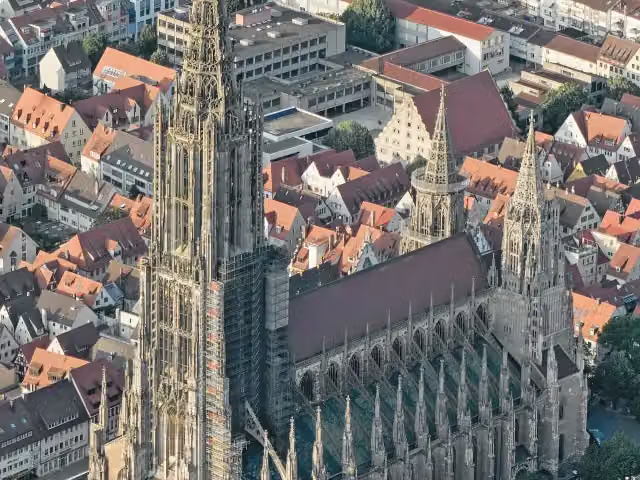 Ulm MinsterAttraction · 5.1 km from the route
- 2
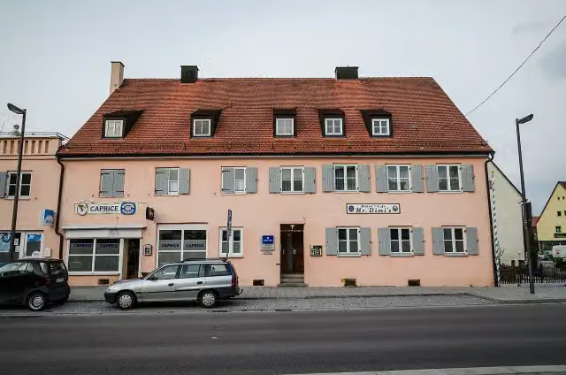 DillingenViewpoint · 99 m from the route
- 3
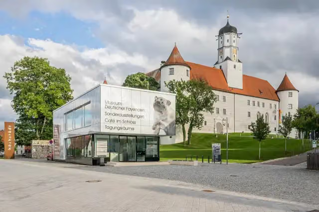 Museum Deutscher FayencenMuseum · 104 m from the route
- 4
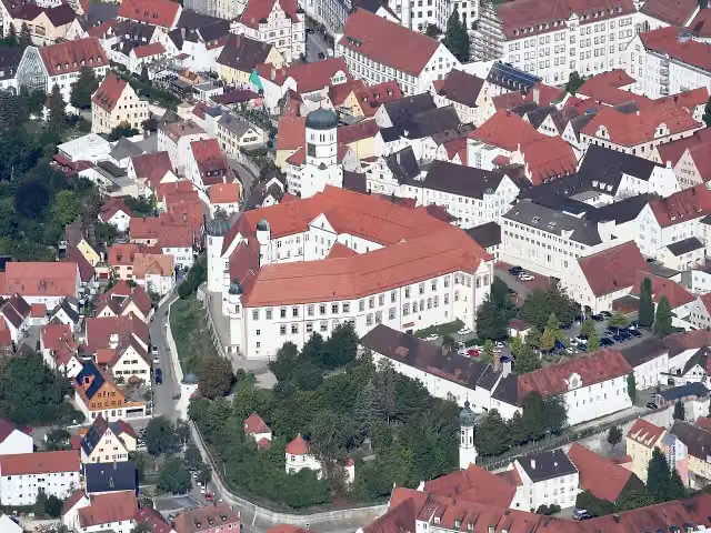 Dillinger SchloßCastle · 125 m from the route
- 5
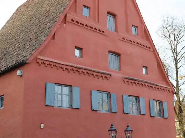 Local MuseumMuseum · 184 m from the route
- 6
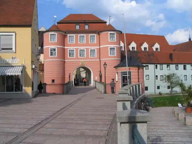 Museum of Town HistoryMuseum · 233 m from the route
- 7
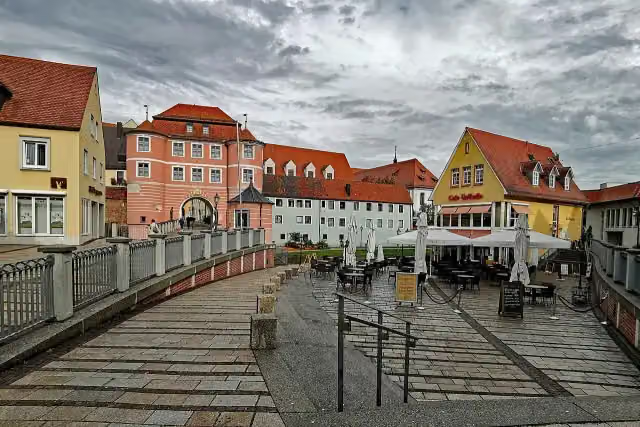 Rieder TorAttraction · 234 m from the route
- 8
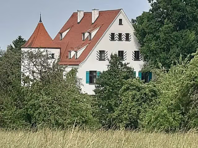 Schloß ObertalfingenCastle · 310 m from the route
- 9
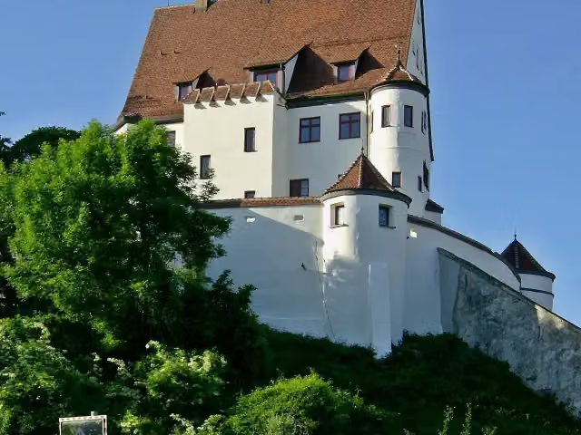 Schloss LeipheimCastle · 317 m from the route
- 10
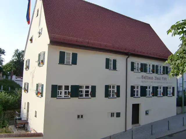 Heimat- und Bauernkriegsmuseum Blaue EnteMuseum · 356 m from the route
- 11
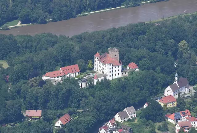 Schloss ReisensburgCastle · 387 m from the route
- 12
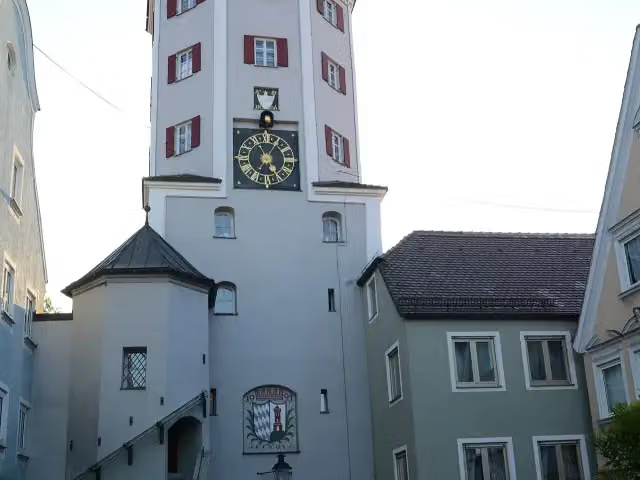 Unteres TorObservation tower · 721 m from the route
- 13
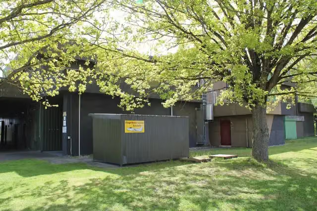 Fliegerhorstmuseum LeipheimMuseum · 1.6 km from the route
- 14
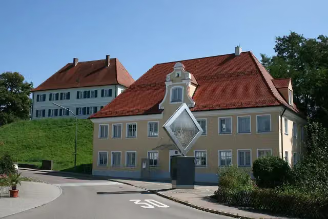 Museum für bildende KunstMuseum · 2.2 km from the route
- 15
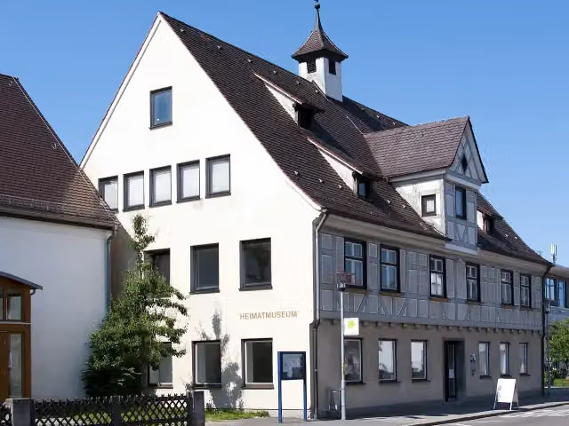 Heimatmuseum PfuhlMuseum · 2.3 km from the route
- 16
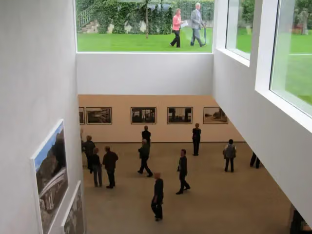 Walther CollectionMuseum · 2.4 km from the route
- 17
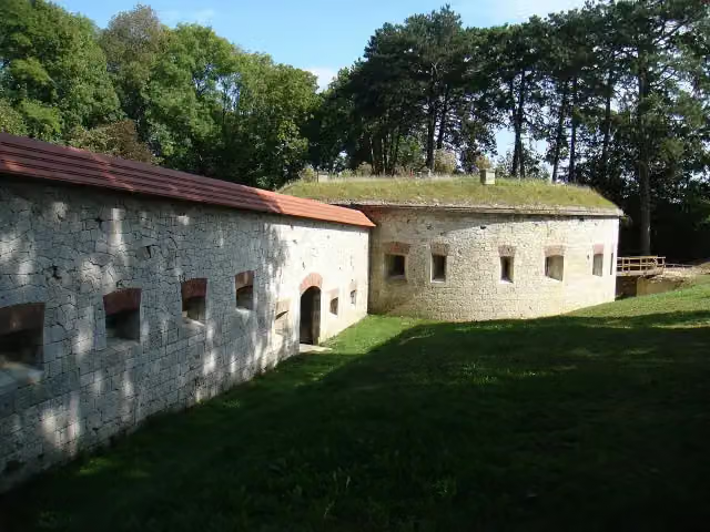 Fort Safranberg (Werk XL)Attraction · 2.8 km from the route
- 18
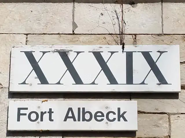 Fort Albeck (Werk XXXIX)Attraction · 3.3 km from the route
- 19
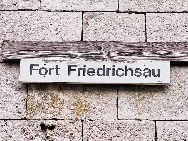 Fort Friedrichsau (Werk XLI)Attraction · 3.4 km from the route
- 20
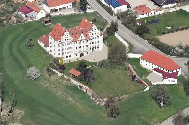 Schloss HarthausenCastle · 3.6 km from the route
- 21
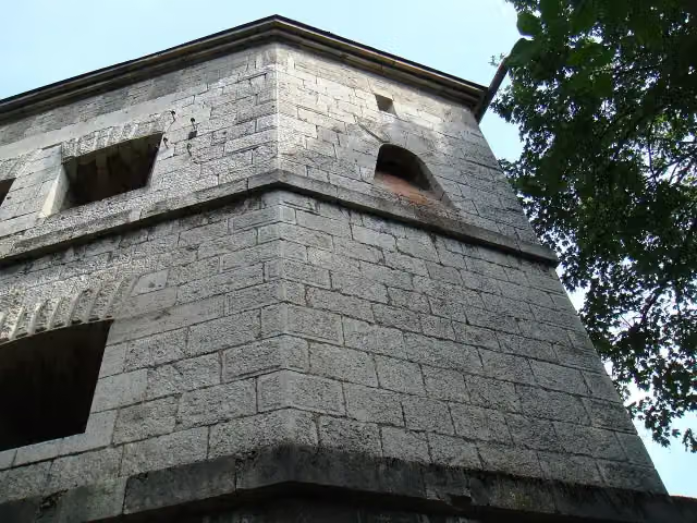 Örlinger Turm (Werk XXXVIII)Castle · 3.9 km from the route
- 22
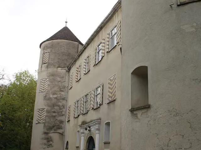 Schloss BächingenCastle · 3.9 km from the route
- 23
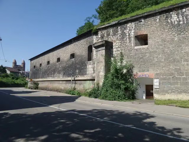 Untere Gaisenbergbastion (Werk XXI)Attraction · 4 km from the route
- 24
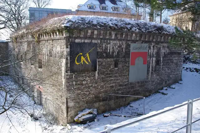 Courtine am Gaisenberg (Werk XX)Attraction · 4.1 km from the route
- 25
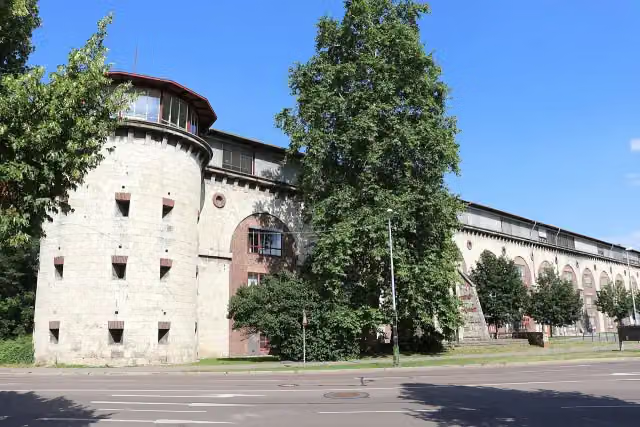 Untere Donaubastion (Werk XXIV)Attraction · 4.2 km from the route
Explore more
More cycle routes around Neu-Ulm
Frequently asked questions
How long is Donauradweg - Abschnitt Deutschland 2?
Donauradweg - Abschnitt Deutschland 2 is 84.4 km long. Allow ± 5:40 h of riding: 15 km an hour, without breaks.
Is this route a circular ride?
No, the route runs from Rottenacker to Donauwörth.
Where does this route start?
The route starts in Neu-Ulm.
How hard is this route?
Hard, with 95 m of climbing.
Are there toilets along this route?
Yes, there are 6 public toilets within 100 m of the route. The longest stretch without a toilet is 31.9 km.
Can you fill up with water along this route?
Yes, there are 7 water fountains and refill points within 100 m of the route.
What is there to see along this route?
Along the way you pass Sudetendeutsche Heimatstube, Apollo-Grannus-Tempel and Studienkirche Mariä Himmelfahrt.
Can I download this route as a GPX file?
Yes. Sign in with your Outdoor Pitstop account and choose Download GPX at the top of this page: 10 routes a month for free, unlimited with Pro.
Starting point
More routes from this place
Route data © OpenStreetMap contributors





