 Outdoor Pitstop
Cycle route · Donaueschingen · Updated on 14 November 2026
Donauradweg - Abschnitt Baden-Württemberg cycle route
Donauradweg - Abschnitt Baden-Württemberg is a cycle route of 201.7 km from Donaueschingen. Along the way you'll find 677 benches, 18 water fountains and refill points, 33 public toilets, 9 bike pumps and 2 honesty boxes and farm vending machines.
i
i
i
The route step by step
From start to finish, with what you pass along the way and the distance in between.
- 201.7 km
- ± 13:25 h
- ↑ 473 m · ↓ 687 m
- Hard
- From A to B
- International route
Start in Donaueschingen
0 kmAt the start: Donauquelle and public toilet.
5.3 km · 17 benches
Water point and honesty box
5.3 km194 m · 2 benches

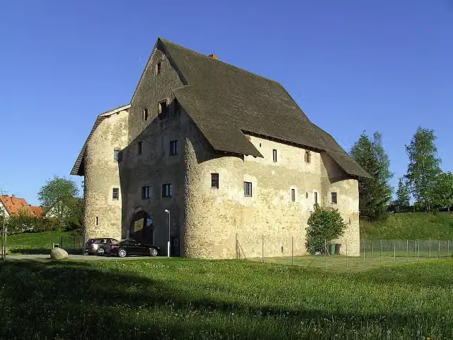
Entenburg
5.5 kmCastle
9.9 km · 10 benches
Bike pump
15.3 km4.8 km · 14 benches
Water point
20.1 km2.7 km · 8 benches
Public toilet
22.9 km974 m · 20 benches
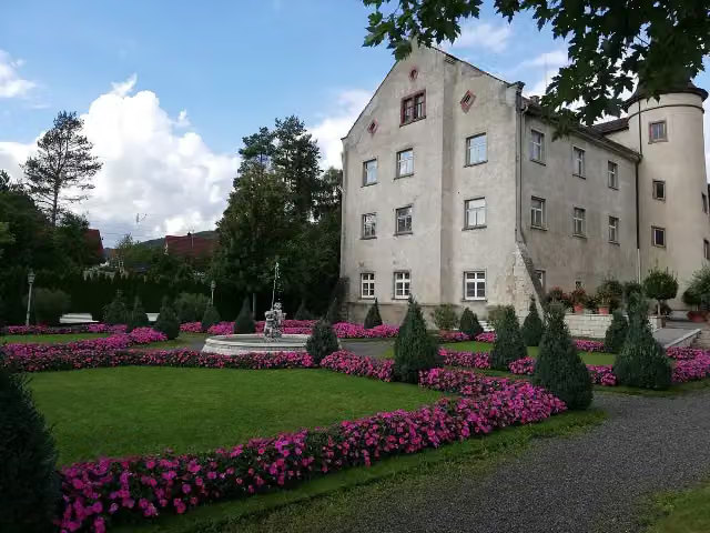
Unteres Schloss
23.8 kmCastle
1.2 km · 5 benches
Public toilet
25 km4.4 km · 6 benches
Water point and bike pump
29.4 km6 km · 28 benches
Public toilet and water point
35.4 km251 m · 2 benches
Bike pump
35.7 km2.3 km · 6 benches
Water point
38 km5 km · 6 benches
Water point
42.9 km26.1 km · 92 benches
Public toilet
69.1 km745 m · 4 benches
4 public toilets and 3 water fountains and refill points
69.8 km152 m
Water point
70 km9 km · 14 benches
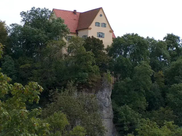
Schloß Gutenstein
79 kmCastle
555 m · bench
Water point, bike pump and honesty box
79.5 km348 m · 4 benches
Public toilet and water point
79.9 km895 m · bench
Public toilet
80.8 km611 m · bench
Public toilet
81.4 km658 m · bench
Public toilet
82 km1.2 km · bench
Public toilet
83.2 km2.9 km · bench
Fürstliche Anlagen Inzigkofen
86.2 kmPublic toilet
1.9 km · 19 benches
Water point and bike pump
88 km870 m · 17 benches
Observation tower
88.9 kmObservation tower
429 m · 6 benches
Public toilet
89.3 km443 m · 12 benches
2 public toilets
89.7 km154 m
Public toilet
89.9 km321 m · 10 benches
Bike pump
90.2 km
Show the other 27 steps
483 m · 13 benches
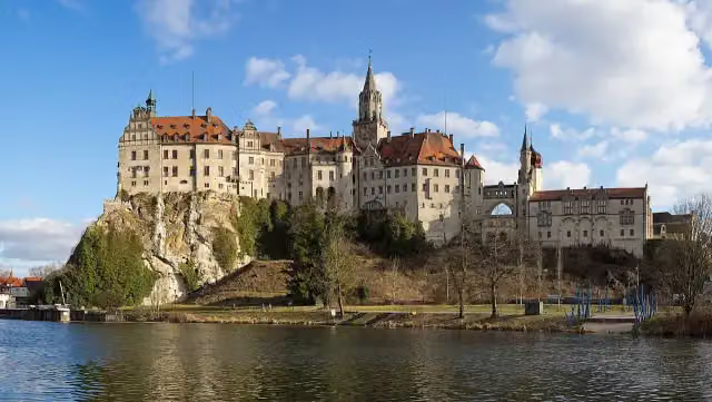
Schloss Sigmaringen
90.7 km2 public toilets
5.7 km · 15 benches
Public toilet
96.4 km2.9 km · 6 benches
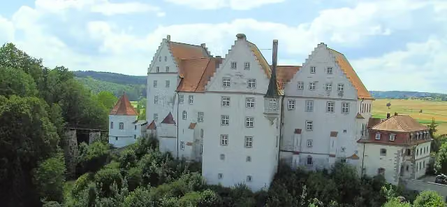
Schloß Scheer
99.3 kmCastle
6.3 km · 11 benches
Bike pump
105.6 km12 km · 2 benches
Public toilet
117.7 km6.8 km · 15 benches
Public toilet and water point
124.5 km1.5 km · 6 benches
2 public toilets
126.1 km683 m · bench
Gedenkstein für Johann Gottlieb Aberle, Hermann Eugen Schlotterbeck und Andreas Stadler in Riedlingen
126.7 kmMemorial
7.6 km · 10 benches
Zwiefaltendorfer Tropfsteinhöhle and 1 more
134.3 kmSchloss Zwiefaltendorf
1.5 km
Water point
135.8 km4.5 km · bench
Burg Rechtenstein
140.3 kmCastle
9 km · 7 benches
Public toilet
149.3 km517 m · 6 benches
Public toilet
149.8 km12.8 km · 31 benches
Public toilet, water point and bike pump
162.6 km204 m · bench
Public toilet
162.8 km364 m · bench
Wolfertturm
163.2 kmWater point
25.4 km · 43 benches
Bike pump
188.6 km3 km · 3 benches
Water point
191.6 km3.7 km · 27 benches
Obere Stadtkehle (Werk XXVII) and 1 more
195.3 kmOberer Donauturm (Werk XXVIII)
598 m · 20 benches
Metzgerturm
195.9 kmAttraction
348 m · 35 benches
Haus der Begegnung
196.3 kmAttraction
182 m · 27 benches
Max-Eyth-Denkmal and 1 more
196.4 kmBerblinger-Turm
481 m · 35 benches
Untere Stadtkehle (Werk XXVI) and 1 more
196.9 kmUnterer Donauturm (Werk XXV)
699 m · 15 benches
Public toilet
197.6 km822 m · 20 benches
Public toilet
198.4 km548 m · 7 benches
Public toilet
199 km2.7 km · 8 benches
Finish
201.7 km
Longest stretch without a toilet: 34.8 kmBetween 162.8 km and 197.6 km there is no public toilet within 100 m of the route.
The route with the pitstops and sights within 100 m of it.
21 sights along the way
In the order you pass them. With the Outdoor Pitstop app you hear their story on the spot. 13 more along the route are on the map.
i
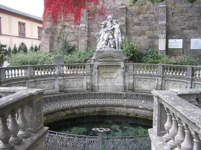
Photo: Flominator · Wikimedia Commons · CC BY-SA 3.0View the photo on Wikimedia CommonsAttraction · after 0 m
i
Photo: Roland Nonnenmacher, D-71579 Spiegelberg · Wikimedia Commons · CC BY-SA 3.0View the photo on Wikimedia CommonsCastle · after 5.5 km
i
Photo: Nevs Peny (Diskussion) · Wikimedia Commons · CC BY-SA 4.0View the photo on Wikimedia CommonsCastle · after 23.8 km
i
Photo: Roland Nonnenmacher 71579 Spiegelberg · Wikimedia Commons · CC BY-SA 3.0View the photo on Wikimedia CommonsCastle · after 79 km
i
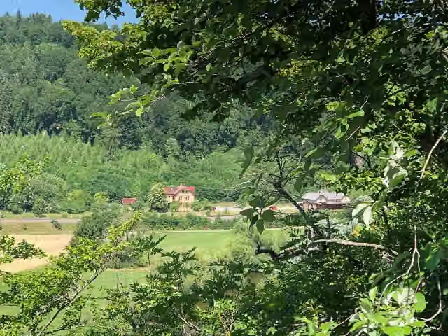
Photo: Zollernalb · Wikimedia Commons · CC BY-SA 4.0View the photo on Wikimedia CommonsAttraction · after 86.2 km

Observation tower · after 88.9 km
- Audio story · 2 min
i
Photo: Jörg Braukmann · Wikimedia Commons · CC BY-SA 4.0View the photo on Wikimedia CommonsSchloss Sigmaringen
Attraction · after 90.7 km
i
Photo: Roland Nonnenmacher · Wikimedia Commons · AttributionView the photo on Wikimedia CommonsCastle · after 99.3 km
Elevation and terrain
- Up
- ↑ 473 m
- Down
- ↓ 687 m
- Highest point
- 681 m
- Lowest point
- 466 m
- 5-10% slope · 1 km
Elevation from Copernicus GLO-30 (European Union and ESA), smoothed.
produced using Copernicus WorldDEM-30 © DLR e.V. 2010-2014 and © Airbus Defence and Space GmbH 2014-2018 provided under COPERNICUS by the European Union and ESA; all rights reserved
Way types
201.7 km in total- Track: 93.9 km
- Path: 42.3 km
- Street: 40.5 km
- Road: 15.8 km
- Cycle path: 4.8 km
- Busy road: 3.1 km
- Footpath (walk your bike): 675 m
Surfaces
201.7 km in total- Asphalt: 164.7 km
- Gravel: 26.7 km
- Paved: 6.4 km
- Unknown: 3.3 km
About the cycle route Donauradweg - Abschnitt Baden-Württemberg
Updated on 14 November 2026, with data from OpenStreetMap, the AHN and Copernicus.
Where do you cycle?
Donauradweg - Abschnitt Baden-Württemberg is a cycle route of 201.7 km that starts in Donaueschingen. It does not end where it starts. You start in Donaueschingen Donauquelle and finish in Ulm (Grenze Bayern). Along the way you pass Donauquelle (after 0 m), Entenburg (after 5.5 km) and Unteres Schloss (after 23.8 km).
How hard is the route?
You climb 473 m in total and descend 687 m. Allow ± 13:25 h, without breaks. The level is hard.
What roads do you cycle on?
The longest part is track (93.9 km), path (42.3 km) and street (40.5 km). Of the surface, 164.7 km asphalt and 26.7 km gravel. For 3.3 km the surface is not known.
Pitstops along the way
Within 100 metres of the route there are 677 benches, 18 water fountains and refill points, 33 public toilets, 9 bike pumps and 2 honesty boxes and farm vending machines. The longest stretch without a toilet is 34.8 km. The Outdoor Pitstop app navigates you there.
Part of Donauradweg (DE)
Cycle routes nearby
5Sights nearby
Within 10 km of the route, best known first.
- 1
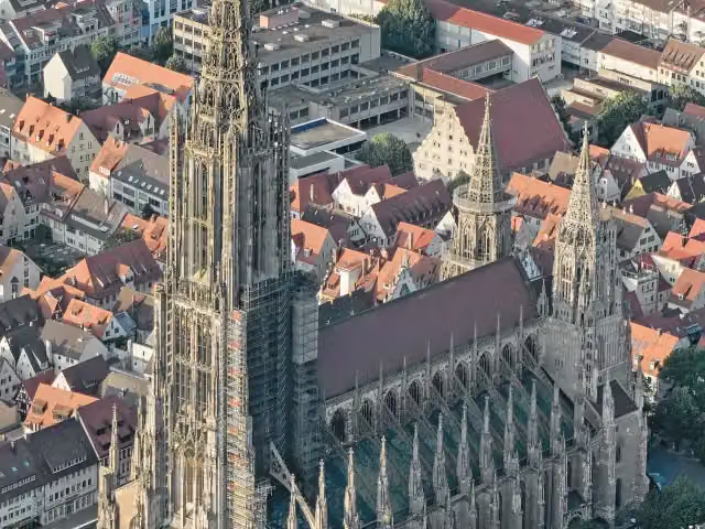 Ulm MinsterAttraction · 349 m from the route
- 2
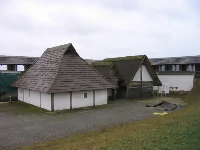 Freilichtmuseum HeuneburgMuseum · 628 m from the route
- 3
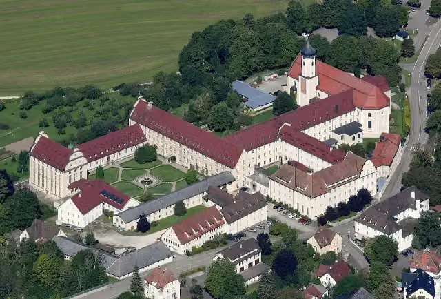 Kloster BeuronAttraction · 188 m from the route
- 4
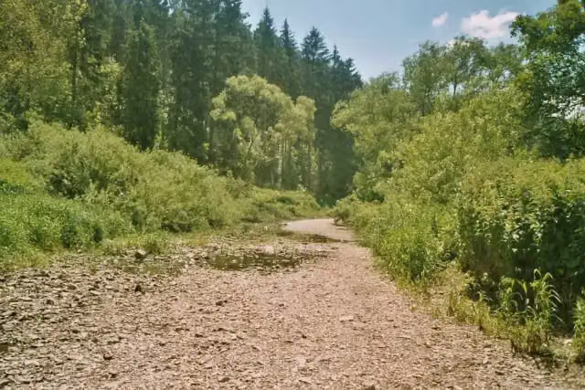 DonauversinkungAttraction · 224 m from the route
- 5
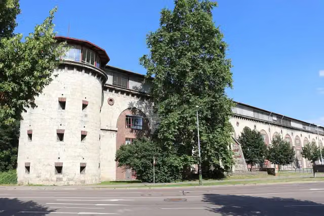 Untere Donaubastion (Werk XXIV)Attraction · 87 m from the route
- 6
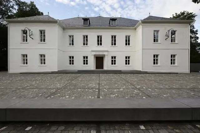 Museum Art.PlusMuseum · 90 m from the route
- 7
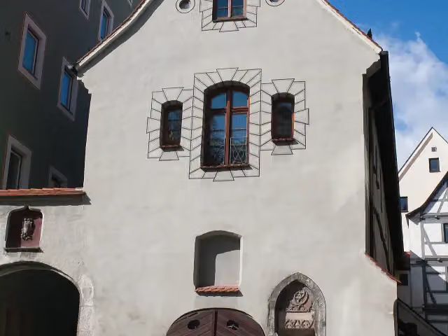 SteinhausAttraction · 109 m from the route
- 8
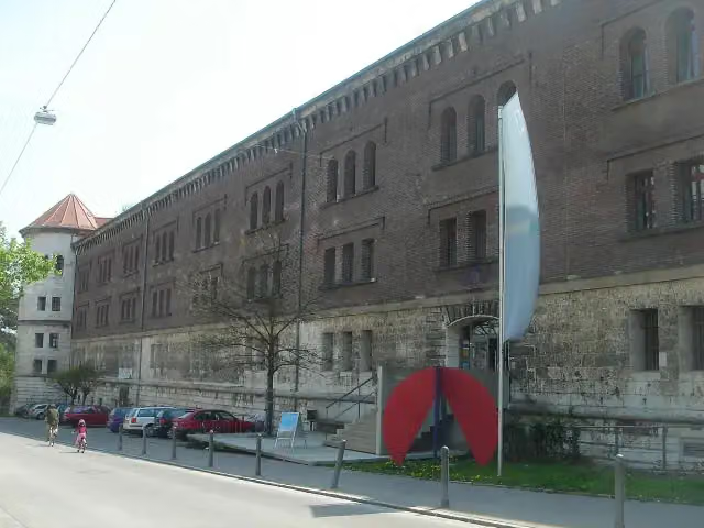 Donauschwäbisches ZentralmuseumMuseum · 116 m from the route
- 9
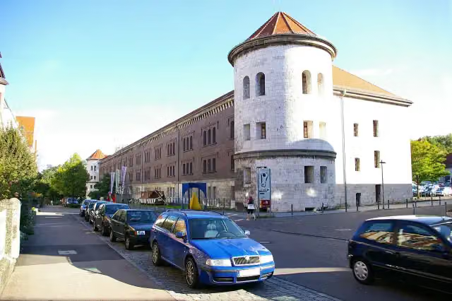 Obere Donaubastion (Werk I)Attraction · 116 m from the route
- 10
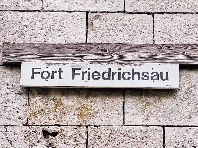 Fort Friedrichsau (Werk XLI)Attraction · 127 m from the route
- 11
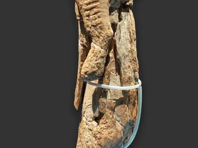 Museum UlmMuseum · 133 m from the route
- 12
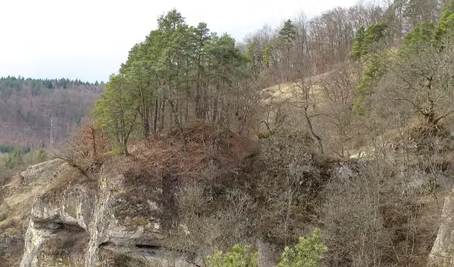 Burg AltgutensteinCastle · 135 m from the route
- 13
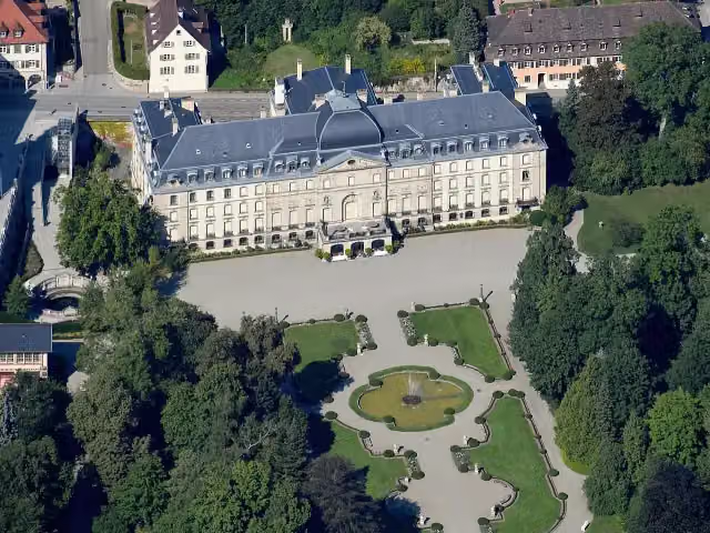 Schloss DonaueschingenCastle · 140 m from the route
- 14
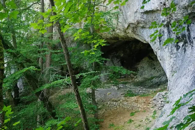 Burgruine ZiegelhöhlenburgCastle · 144 m from the route
- 15
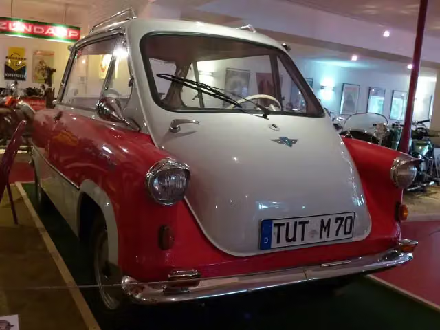 Zündapp-MuseumMuseum · 150 m from the route
- 16
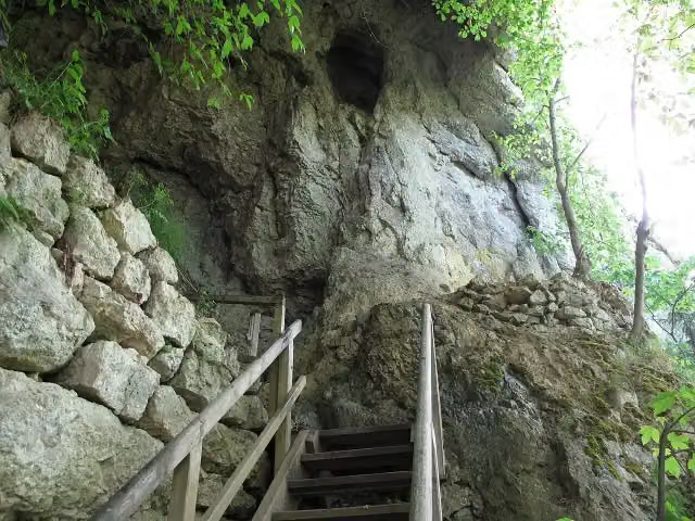 PetershöhleRuins · 158 m from the route
- 17
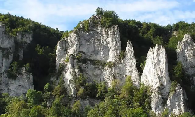 LenzenburgCastle · 160 m from the route
- 18
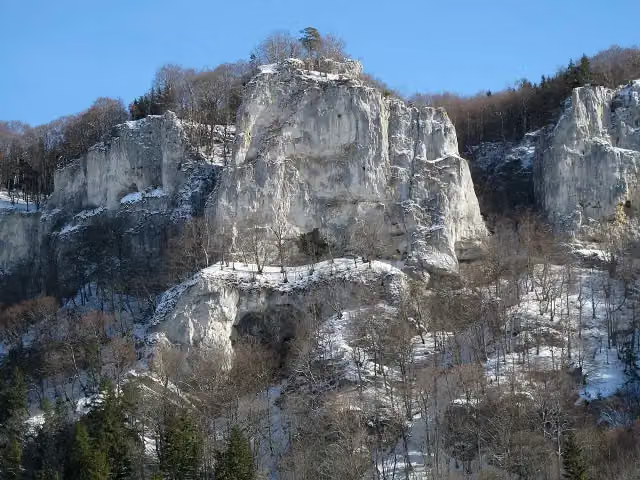 Ruine WagenburgCastle · 162 m from the route
- 19
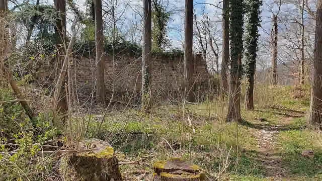 Burg HassenbergCastle · 169 m from the route
- 20
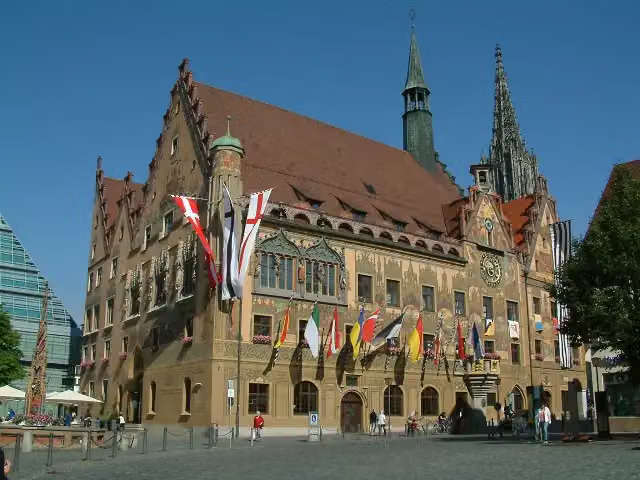 RathausAttraction · 170 m from the route
- 21
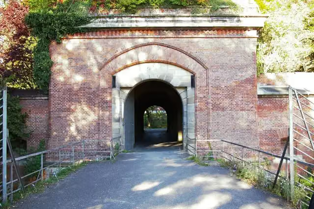 Memminger TorAttraction · 174 m from the route
- 22
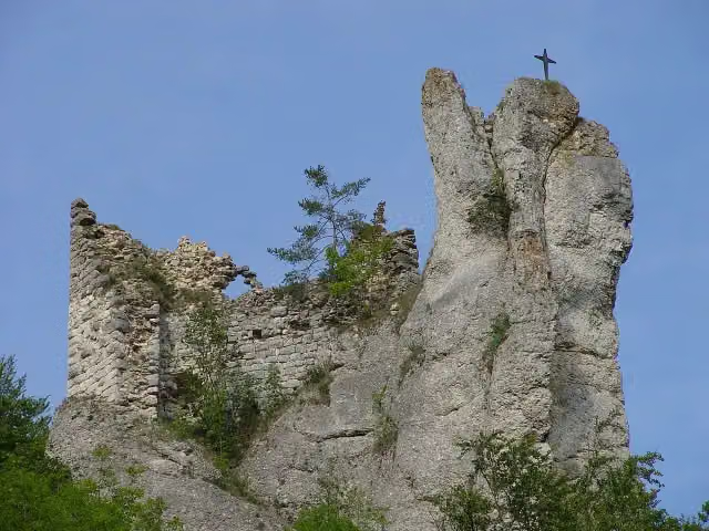 Gebrochen GutensteinCastle · 180 m from the route
- 23
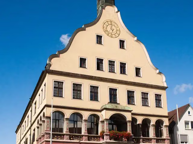 SchwörhausAttraction · 192 m from the route
- 24
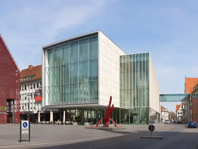 Kunsthalle WeishauptMuseum · 194 m from the route
- 25
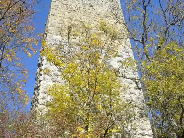 Ruine KallenbergCastle · 203 m from the route
Explore more
More cycle routes around Donaueschingen
More nearby
Frequently asked questions
How long is Donauradweg - Abschnitt Baden-Württemberg?
Donauradweg - Abschnitt Baden-Württemberg is 201.7 km long. Allow ± 13:25 h of riding: 15 km an hour, without breaks.
Is this route a circular ride?
No, the route runs from Donaueschingen Donauquelle to Ulm (Grenze Bayern).
Where does this route start?
The route starts in Donaueschingen.
How hard is this route?
Hard, with 473 m of climbing.
Are there toilets along this route?
Yes, there are 33 public toilets within 100 m of the route. The longest stretch without a toilet is 34.8 km.
Can you fill up with water along this route?
Yes, there are 18 water fountains and refill points within 100 m of the route.
What is there to see along this route?
Along the way you pass Donauquelle, Entenburg and Unteres Schloss.
Can I download this route as a GPX file?
Yes. Sign in with your Outdoor Pitstop account and choose Download GPX at the top of this page: 10 routes a month for free, unlimited with Pro.
Starting point
More routes from this place
Route data © OpenStreetMap contributors





