 Outdoor Pitstop
Cycle route · Neu-Ulm · Updated on 14 November 2026
EuroVelo 6 - Atlantic-Black Sea - part Germany - Bavaria 1 cycle route
EuroVelo 6 - Atlantic-Black Sea - part Germany - Bavaria 1 is a cycle route of 203 km from Neu-Ulm. Along the way you'll find 355 benches, 23 water fountains and refill points, 23 public toilets and 6 bike pumps.
i
i
i
The route step by step
From start to finish, with what you pass along the way and the distance in between.
- 203 km
- ± 13:30 h
- ↑ 448 m · ↓ 564 m
- Hard
- From A to B
- International route
- Colour of the signs
Start in Neu-Ulm
0 km2.2 km · 13 benches
Water point
2.2 km29.7 km · 20 benches
Public toilet
31.8 km4.5 km · 3 benches
Public toilet
36.3 km293 m

Sudetendeutsche Heimatstube
36.6 kmMuseum
3.5 km · 5 benches
Apollo-Grannus-Tempel
40.1 kmPublic toilet
2.2 km · 15 benches
Public toilet
42.3 km5.3 km · 18 benches
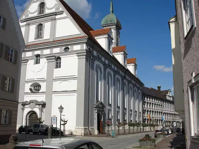
Studienkirche Mariä Himmelfahrt
47.7 kmAttraction
170 m
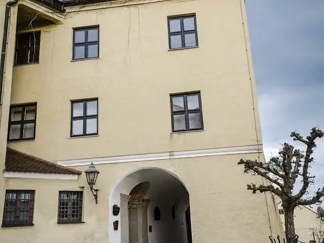
Stadt- und Hochstiftmuseum and 1 more
47.8 kmZeugnisse klösterlichen Lebens, public toilet and 3 water fountains and refill points
1.3 km · 6 benches
Water point
49.1 km8 km · 6 benches
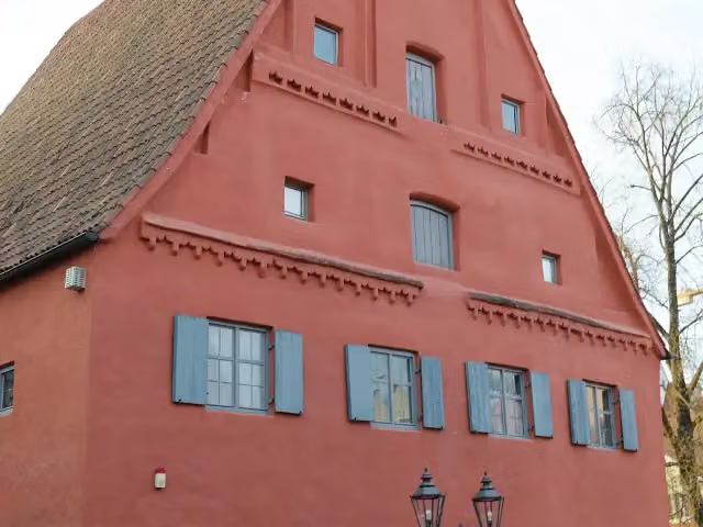
Heimatmuseum
57.1 kmPublic toilet
217 m · 7 benches
Water point
57.4 km238 m · bench
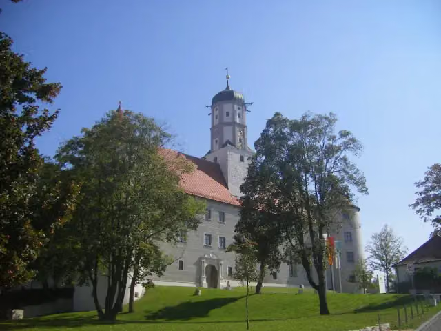
Schloss Höchstädt
57.6 kmCastle
7.9 km · 2 benches
Water point
65.5 km19.1 km · 4 benches
Local Museum and 2 more
84.6 kmRieder Tor, Museum of Town History and water point
160 m · 8 benches
Water point
84.8 km480 m · 17 benches
Public toilet
85.3 km5.3 km
Public toilet
90.5 km3 km
Water point
93.5 km1.1 km
Schloss Leitheim
94.6 kmWater point
17.9 km · 7 benches
Schloss Stepperg
112.5 kmWater point
10.1 km · 8 benches
Schlossmuseum
122.5 kmMuseum
267 m · 5 benches
Water point
122.8 km223 m · bench
Public toilet
123 km7 km · 6 benches
Jagdschloss Grünau
130 kmAttraction
16.2 km · 6 benches
Bike pump
146.2 km654 m · 3 benches
Public toilet
146.9 km418 m · 10 benches
Deutsches Medizinhistorisches Museum and 1 more
147.3 kmGerman Museum for the History of Medicine
173 m · 4 benches
Public toilet
147.5 km249 m · 5 benches
Liebfrauenmunster
147.7 kmPublic toilet and bike pump
Show the other 16 steps
270 m · 9 benches
4 water fountains and refill points
148 km220 m · 11 benches
Pfeifturm
148.2 km2 public toilets
162 m · 33 benches
Herzogskasten
148.4 km2 public toilets, 3 water fountains and refill points and 2 bike pumps
153 m · 20 benches
Public toilet
148.5 km359 m · 44 benches
Public toilet
148.9 km184 m · 3 benches
Bayerisches Armeemuseum and 1 more
149.1 kmNeues Schloss
1.7 km · 21 benches
Bike pump
150.8 km19.4 km · 9 benches
Schloss Wackerstein
170.2 kmCastle
2.9 km · 3 benches
Public toilet
173.1 km5.7 km · bench
Bike pump
178.8 km1.8 km · 4 benches
Public toilet
180.6 km1.5 km
Römisches Museum für Kur- und Badewesen
182.1 kmMuseum
4.4 km
Public toilet and water point
186.5 km14.5 km · 12 benches
Public toilet
201 km1.6 km · 3 benches
König-Maximilan-Denkmal
202.6 kmMemorial
395 m · 2 benches
Finish
203 kmAt the finish: Archäologisches Museum, public toilet and 2 water fountains and refill points.
Longest stretch without a toilet: 32.5 kmBetween 90.5 km and 123 km there is no public toilet within 100 m of the route.
The route with the pitstops and sights within 100 m of it.
25 sights along the way
In the order you pass them. With the Outdoor Pitstop app you hear their story on the spot. 17 more along the route are on the map.

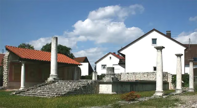
Museum · after 36.6 km
i
Photo: Dr. Eugen Lehle · Wikimedia Commons · CC BY-SA 3.0View the photo on Wikimedia CommonsArchaeological site · after 40.2 km
i
Photo: JohannesSch. (Serafim 89) · Wikimedia Commons · CC BY-SA 3.0View the photo on Wikimedia CommonsAttraction · after 47.7 km
i
Photo: Tilman2007 · Wikimedia Commons · CC BY-SA 3.0View the photo on Wikimedia CommonsMuseum · after 47.8 km
Museum · after 48 km
i
Photo: GFreihalter · Wikimedia Commons · CC BY-SA 3.0View the photo on Wikimedia CommonsMuseum · after 57.1 km
i
Photo: Szeder László · Wikimedia Commons · CC BY-SA 4.0View the photo on Wikimedia CommonsCastle · after 57.6 km
i
Photo: Tilman2007 · Wikimedia Commons · CC BY-SA 3.0View the photo on Wikimedia CommonsMuseum · after 84.6 km
Elevation and terrain
- Up
- ↑ 448 m
- Down
- ↓ 564 m
- Highest point
- 480 m
- Lowest point
- 346 m
- 5-10% slope · 4.1 km
Elevation from Copernicus GLO-30 (European Union and ESA), smoothed.
produced using Copernicus WorldDEM-30 © DLR e.V. 2010-2014 and © Airbus Defence and Space GmbH 2014-2018 provided under COPERNICUS by the European Union and ESA; all rights reserved
Way types
203 km in total- Track: 78.2 km
- Road: 41.1 km
- Path: 38.9 km
- Street: 28.4 km
- Cycle path: 8.2 km
- Busy road: 6.3 km
- Footpath (walk your bike): 1.5 km
Surfaces
203 km in total- Asphalt: 114.2 km
- Gravel: 62.5 km
- Paved: 6.3 km
- Unpaved: 1 km
- Unknown: 18.5 km
About the cycle route EuroVelo 6 - Atlantic-Black Sea - part Germany - Bavaria 1
Updated on 14 November 2026, with data from OpenStreetMap, the AHN and Copernicus.
Where do you cycle?
EuroVelo 6 - Atlantic-Black Sea - part Germany - Bavaria 1 is a cycle route of 203 km that starts in Neu-Ulm. It does not end where it starts. Along the way you pass Sudetendeutsche Heimatstube (after 36.6 km), Apollo-Grannus-Tempel (after 40.2 km) and Studienkirche Mariä Himmelfahrt (after 47.7 km).
How hard is the route?
You climb 448 m in total and descend 564 m. Allow ± 13:30 h, without breaks. The level is hard.
What roads do you cycle on?
The longest part is track (78.2 km), road (41.1 km) and path (38.9 km). Of the surface, 114.2 km asphalt and 62.5 km gravel. For 18.5 km the surface is not known.
Pitstops along the way
Within 100 metres of the route there are 355 benches, 23 water fountains and refill points, 23 public toilets and 6 bike pumps. The longest stretch without a toilet is 32.5 km. The Outdoor Pitstop app navigates you there.
Part of EuroVelo 6 - Atlantic-Black Sea - part Germany
Website of the routeCycle routes nearby
6- Donauradweg - Abschnitt Deutschland 2Hard · From A to B84.4 km
- Donauradweg - Abschnitt Baden-WürttembergHard · From A to B201.7 km
- D-Route 6 - Donauroute [Ulm - Ingolstadt]Hard · From A to B154 km
- EuroVelo 6 - Atlantic-Black Sea - part Germany - Baden-WürttembergHard · From A to B243.7 km
- Württemberger TälerradwegHard · From A to B272.4 km
- Easy · From A to B5.1 km
Sights nearby
Within 10 km of the route, best known first.
- 1
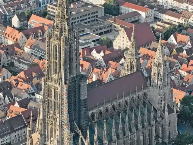 Ulm MinsterAttraction · 5.1 km from the route
- 2
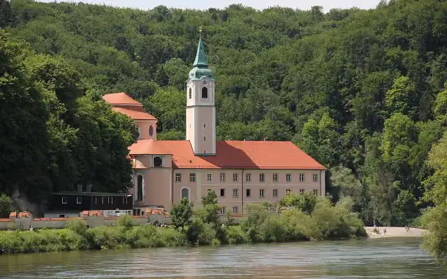 Kloster WeltenburgAttraction · 670 m from the route
- 3
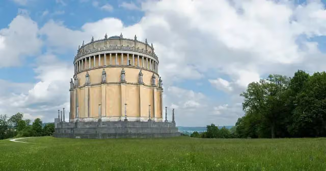 Hall of LiberationAttraction · 686 m from the route
- 4
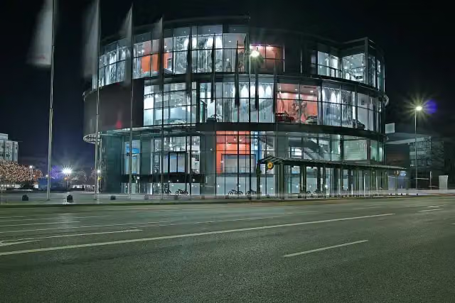 Museum MobileMuseum · 2.1 km from the route
- 5
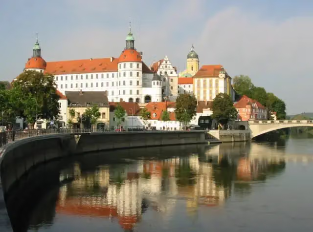 Schloss NeuburgCastle · 111 m from the route
- 6
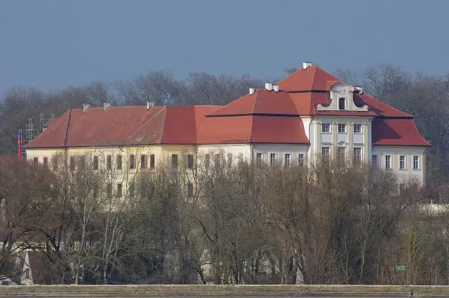 Schloss BertoldsheimCastle · 120 m from the route
- 7
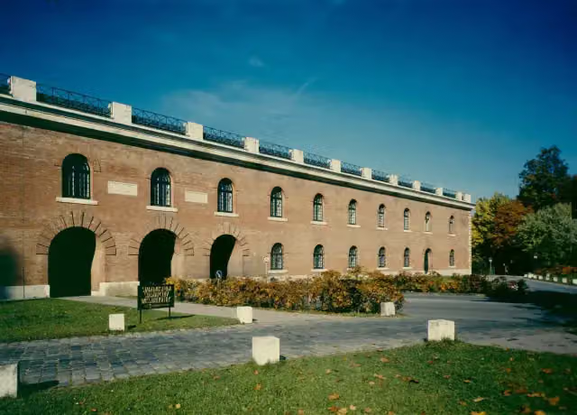 Ingolstadt City MuseumMuseum · 357 m from the route
- 8
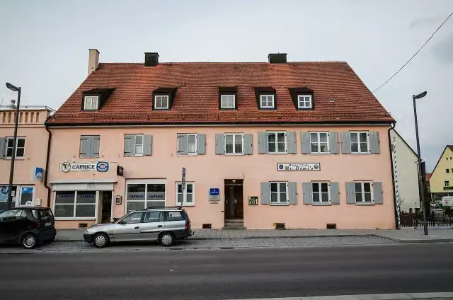 DillingenViewpoint · 99 m from the route
- 9
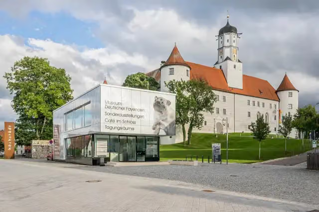 Museum Deutscher FayencenMuseum · 104 m from the route
- 10
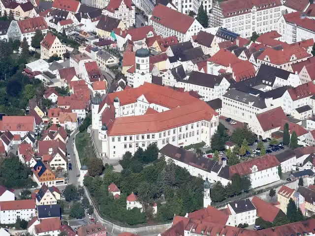 Dillinger SchloßCastle · 125 m from the route
- 11
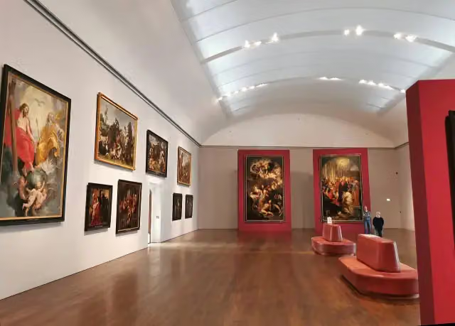 Staatsgalerie NeuburgMuseum · 138 m from the route
- 12
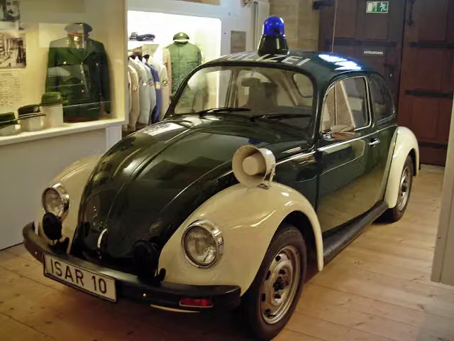 Bayerisches PolizeimuseumMuseum · 209 m from the route
- 13
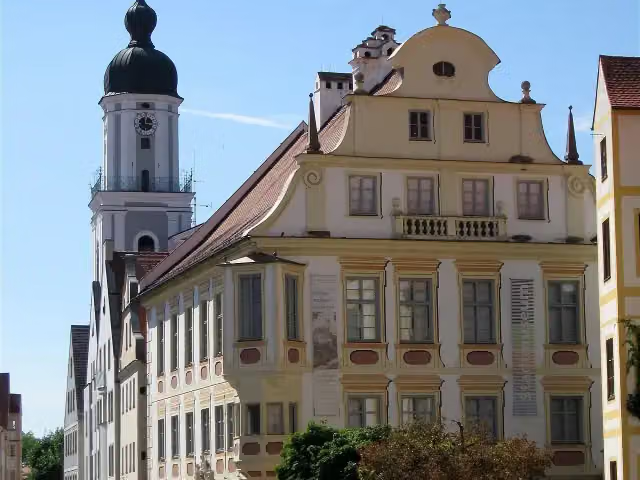 StadtmuseumMuseum · 216 m from the route
- 14
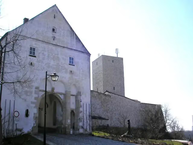 Burg VohburgCastle · 222 m from the route
- 15
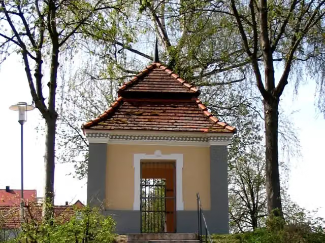 GartenpavillonAttraction · 240 m from the route
- 16
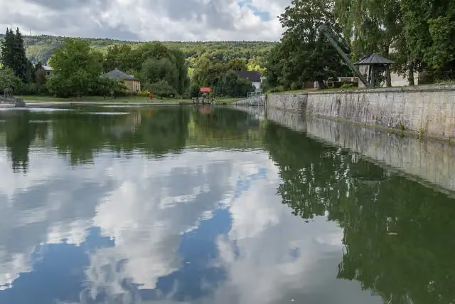 Kanalhafen KelheimAttraction · 288 m from the route
- 17
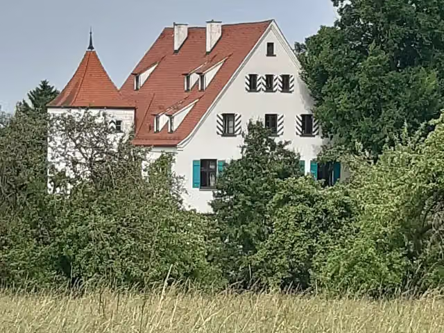 Schloß ObertalfingenCastle · 310 m from the route
- 18
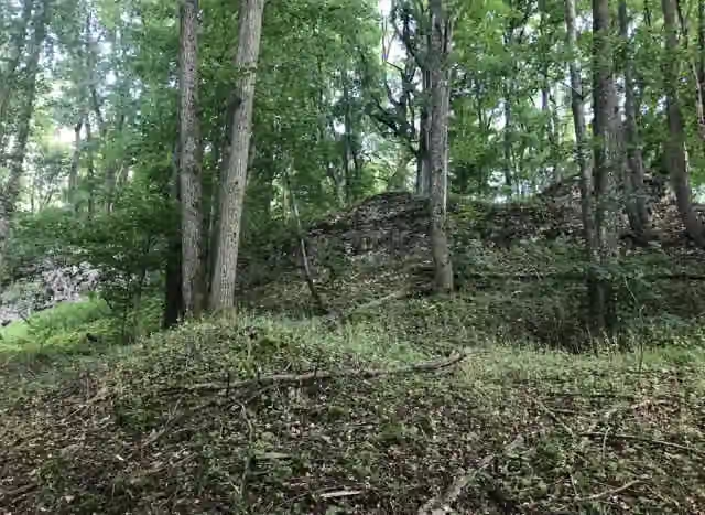 KaiserburgArchaeological site · 311 m from the route
- 19
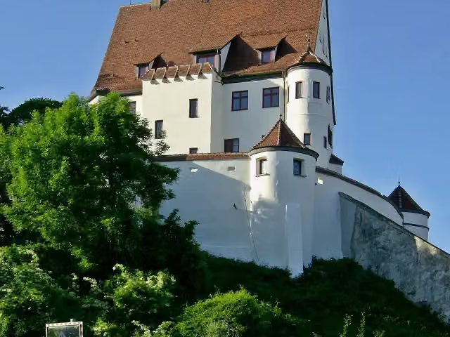 Schloss LeipheimCastle · 317 m from the route
- 20
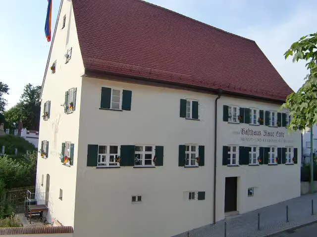 Heimat- und Bauernkriegsmuseum Blaue EnteMuseum · 356 m from the route
- 21
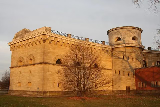 Reduit TillyCastle · 360 m from the route
- 22
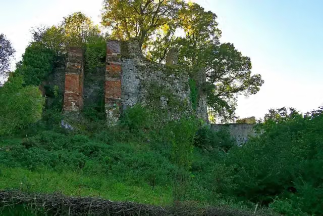 Burgruine GraisbachCastle · 374 m from the route
- 23
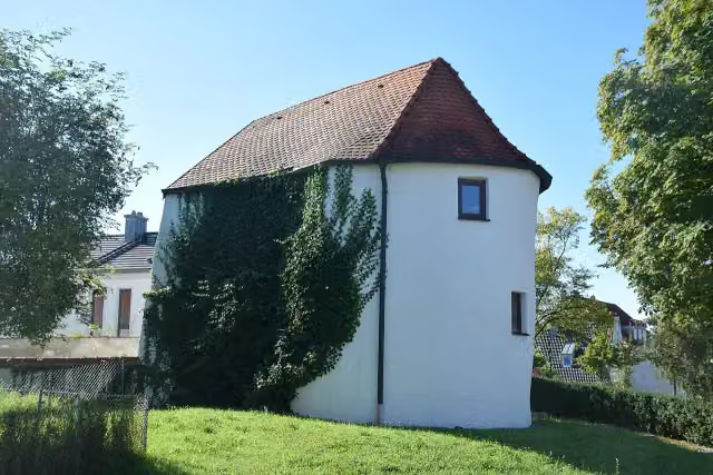 KleinhäuslermuseumMuseum · 383 m from the route
- 24
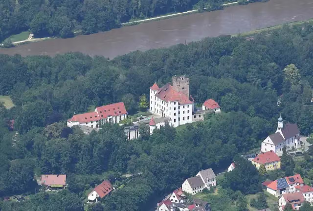 Schloss ReisensburgCastle · 387 m from the route
- 25
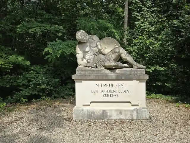 BezirkskriegerdenkmalMemorial · 556 m from the route
Explore more
More cycle routes around Neu-Ulm
Frequently asked questions
How long is EuroVelo 6 - Atlantic-Black Sea - part Germany - Bavaria 1?
EuroVelo 6 - Atlantic-Black Sea - part Germany - Bavaria 1 is 203 km long. Allow ± 13:30 h of riding: 15 km an hour, without breaks.
Is this route a circular ride?
No, the route starts and ends at different spots.
Where does this route start?
The route starts in Neu-Ulm.
How hard is this route?
Hard, with 448 m of climbing.
Are there toilets along this route?
Yes, there are 23 public toilets within 100 m of the route. The longest stretch without a toilet is 32.5 km.
Can you fill up with water along this route?
Yes, there are 23 water fountains and refill points within 100 m of the route.
What is there to see along this route?
Along the way you pass Sudetendeutsche Heimatstube, Apollo-Grannus-Tempel and Studienkirche Mariä Himmelfahrt.
Can I download this route as a GPX file?
Yes. Sign in with your Outdoor Pitstop account and choose Download GPX at the top of this page: 10 routes a month for free, unlimited with Pro.
Starting point
More routes from this place
Route data © OpenStreetMap contributors





