 Outdoor Pitstop
Cycle route · Crailsheim · Updated on 14 November 2026
Württemberger Tälerradweg cycle route
Württemberger Tälerradweg is a cycle route of 272.4 km from Crailsheim. Along the way you'll find 966 benches, 16 water fountains and refill points, 39 public toilets, 17 bike pumps and 5 honesty boxes and farm vending machines.
i
i
i
The route step by step
From start to finish, with what you pass along the way and the distance in between.
- 272.4 km
- ± 18:10 h
- ↑ 1,403 m · ↓ 1,494 m
- Hard
- From A to B
- Regional route
- Colour of the signs
Start in Crailsheim
0 km577 m · bench
Public toilet
577 m272 m
2 public toilets and bike pump
849 m1.1 km · 36 benches
Bike pump
2 km18.9 km · 2 benches

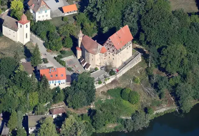
Schloss Rechenberg
20.9 kmAttraction
10.8 km · 8 benches
Water point
31.7 km1.5 km
Public toilet
33.3 km164 m · 4 benches
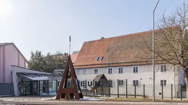
Alamannenmuseum Ellwangen
33.4 km3 public toilets and bike pump
394 m · 9 benches
Public toilet and bike pump
33.8 km1 km · 5 benches
Bike pump
34.8 km325 m · 3 benches
LGS Turm Jagstblick
35.2 kmObservation tower
172 m · bench
Water point
35.3 km11.6 km · 17 benches
Public toilet
46.9 km3.1 km · 4 benches
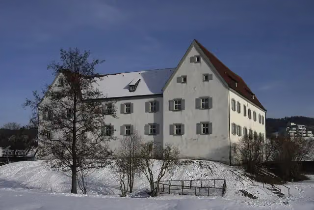
Schloß Wasseralfingen
50.1 kmCastle
3.1 km · 29 benches
Water point and bike pump
53.2 km393 m · 5 benches
Public toilet and water point
53.6 km647 m · 7 benches
2 public toilets, water point and 2 bike pumps
54.2 km3.9 km · 33 benches
Public toilet
58.1 km5 km · 26 benches
Public toilet and water point
63.1 km5.9 km · 15 benches
Public toilet
69.1 km574 m · 7 benches
3 public toilets
69.6 km1.6 km · 9 benches
Public toilet
71.2 km374 m · 6 benches
Water point
71.6 km3.2 km · 4 benches
Water point
74.8 km3.6 km · 14 benches
Public toilet
78.4 km526 m · 10 benches
Bike pump
78.9 km318 m · 3 benches
Public toilet
79.2 km3 km · 22 benches
Public toilet
82.2 km884 m · 4 benches
Public toilet
83.1 km937 m · 2 benches
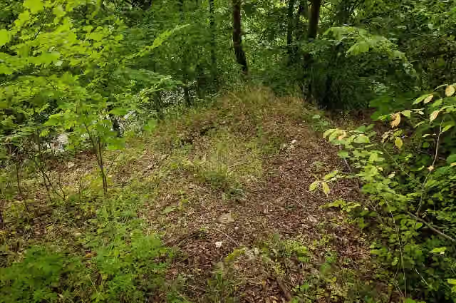
Ruine Hurwang
84 kmRuins
Show the other 39 steps
2.5 km
Honesty box
86.5 km4.4 km · 6 benches
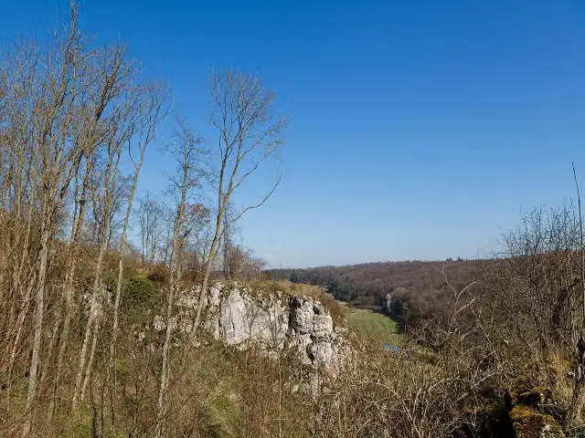
Burg Hürgerstein
90.8 kmCastle
297 m · bench
ehem. Burg Falkenstein
91.1 kmCastle
1.9 km · 6 benches
Bike pump
93 km2.6 km · 11 benches
Public toilet
95.6 km621 m · 5 benches
Public toilet and bike pump
96.2 km2 km · 5 benches
Public toilet
98.2 km4.4 km · 11 benches
Water point
102.6 km695 m · 10 benches
Public toilet
103.3 km178 m
Public toilet
103.5 km2.9 km · 5 benches
Bike pump and honesty box
106.3 km1 km · 10 benches
Brenzturm
107.4 kmObservation tower
22 km · 34 benches
Honesty box
129.4 km1.6 km · 2 benches
Public toilet
131 km965 m · 20 benches
Honesty box
131.9 km9.1 km · 11 benches
Water point
141 km4.9 km · 21 benches
Public toilet
145.9 km548 m · 7 benches
Public toilet
146.4 km821 m · 20 benches
Public toilet
147.2 km658 m · 15 benches
Unterer Donauturm (Werk XXV) and 1 more
147.9 kmUntere Stadtkehle (Werk XXVI)
517 m · 21 benches
Berblinger-Turm and 1 more
148.4 kmMax-Eyth-Denkmal
188 m · 41 benches
Haus der Begegnung
148.6 kmAttraction
347 m · 35 benches
Metzgerturm
149 kmAttraction
1.3 km · 30 benches
Ehinger Tor (Werk II)
150.2 kmAttraction
342 m · 4 benches
Mittelbastion (Werk IV)
150.6 kmAttraction
18.9 km · 100 benches
Public toilet, water point and bike pump
169.5 km549 m · 14 benches
Blautopf
170 km2 public toilets
512 m · 16 benches
Urgeschichtliches Museum
170.5 kmMuseum
12.8 km · 16 benches
Sontheimer Höhle
183.3 kmAttraction
10.1 km · 8 benches
Laichinger Tiefenhöhle
193.4 kmAttraction
1.5 km
Public toilet
194.9 km36.1 km · 22 benches
Bike pump
231 km7.6 km · 30 benches
Honesty box
238.6 km8.8 km · 19 benches
Public toilet
247.5 km4.5 km · 25 benches
Bike pump
252 km5.7 km · 3 benches
Water point and bike pump
257.6 km14.2 km · 30 benches
Water point
271.8 km208 m · 5 benches
Ein Zeichen der Erinnerung – die Synagoge Schwäbisch Gmünd and 1 more
272 kmFünfknopfturm
435 m · 53 benches
Finish
272.4 kmAt the finish: 2 public toilets, 3 water fountains and refill points and bike pump.
Longest stretch without a toilet: 52.6 kmBetween 194.9 km and 247.5 km there is no public toilet within 100 m of the route.
The route with the pitstops and sights within 100 m of it.
22 sights along the way
In the order you pass them. With the Outdoor Pitstop app you hear their story on the spot. 14 more along the route are on the map.
i
Photo: Carsten Steger · Wikimedia Commons · CC BY-SA 4.0View the photo on Wikimedia CommonsAttraction · after 20.9 km
i
Photo: Raimond Spekking · Wikimedia Commons · CC BY-SA 4.0View the photo on Wikimedia CommonsMuseum · after 33.4 km

Observation tower · after 35.2 km
i
Photo: Own work · Wikimedia Commons · CC BY-SA 3.0View the photo on Wikimedia CommonsCastle · after 50.1 km
i
Photo: Thilo Parg · Wikimedia Commons · CC BY-SA 3.0View the photo on Wikimedia CommonsRuins · after 84 km
i
Photo: CEphoto, Uwe Aranas · Wikimedia Commons · CC BY-SA 3.0View the photo on Wikimedia CommonsCastle · after 90.8 km
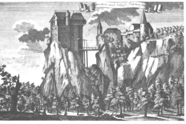
Castle · after 91.1 km
Observation tower · after 107.4 km
Elevation and terrain
- Up
- ↑ 1,403 m
- Down
- ↓ 1,494 m
- Highest point
- 855 m
- Lowest point
- 306 m
- 5-10% slope · 6.8 km
- 10-15% slope · 1.4 km
Elevation from Copernicus GLO-30 (European Union and ESA), smoothed.
produced using Copernicus WorldDEM-30 © DLR e.V. 2010-2014 and © Airbus Defence and Space GmbH 2014-2018 provided under COPERNICUS by the European Union and ESA; all rights reserved
Way types
272.4 km in total- Track: 101 km
- Path: 54.2 km
- Street: 52.7 km
- Road: 47.4 km
- Cycle path: 6.9 km
- Busy road: 5 km
- Footpath (walk your bike): 4.4 km
- Unknown: 100 m
Surfaces
272.4 km in total- Asphalt: 226.6 km
- Gravel: 19.8 km
- Paved: 7.5 km
- Unpaved: 25 m
- Unknown: 17.8 km
About the cycle route Württemberger Tälerradweg
Updated on 14 November 2026, with data from OpenStreetMap, the AHN and Copernicus.
Where do you cycle?
Württemberger Tälerradweg is a cycle route of 272.4 km that starts in Crailsheim. It does not end where it starts. You start in Crailsheim and finish in Schwäbisch Gmünd. Along the way you pass Schloss Rechenberg (after 20.9 km), Alamannenmuseum Ellwangen (after 33.4 km) and LGS Turm Jagstblick (after 35.2 km).
How hard is the route?
You climb 1,403 m in total and descend 1,494 m. Allow ± 18:10 h, without breaks. The level is hard.
What roads do you cycle on?
The longest part is track (101 km), path (54.2 km) and street (52.7 km). Of the surface, 226.6 km asphalt and 19.8 km gravel. For 17.8 km the surface is not known.
Pitstops along the way
Within 100 metres of the route there are 966 benches, 16 water fountains and refill points, 39 public toilets, 17 bike pumps and 5 honesty boxes and farm vending machines. The longest stretch without a toilet is 52.6 km. The Outdoor Pitstop app navigates you there.
Cycle routes nearby
1Sights nearby
Within 10 km of the route, best known first.
- 1
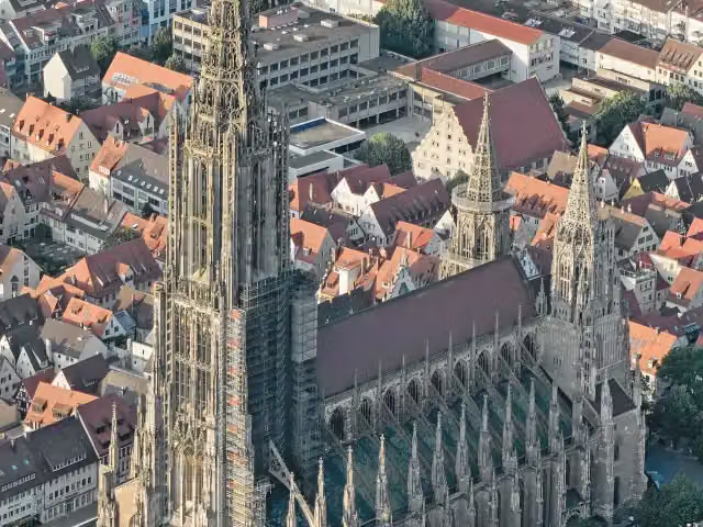 Ulm MinsterAttraction · 356 m from the route
- 2
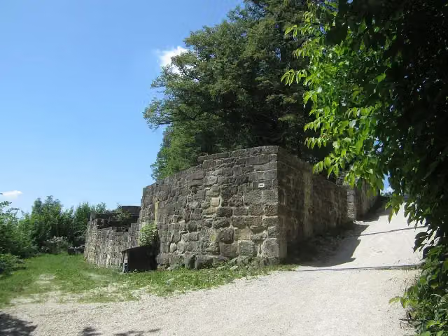 Burgruine HohenstaufenCastle · 1.1 km from the route
- 3
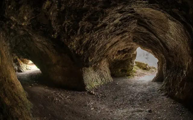 VogelherdhöhleAttraction · 4 km from the route
- 4
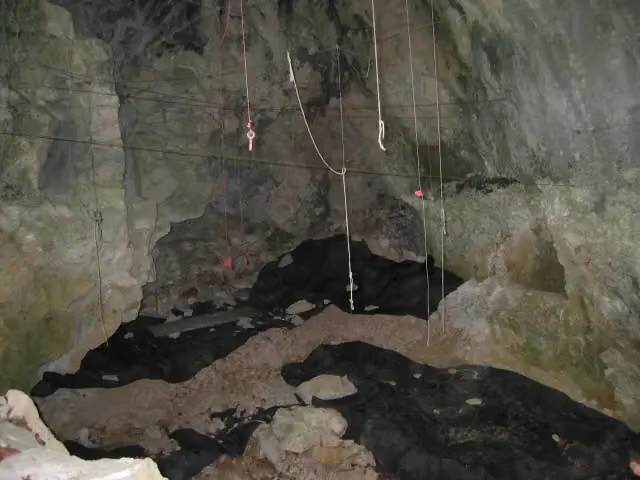 GeißenklösterleArchaeological site · 435 m from the route
- 5
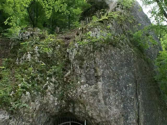 Hohle FelsAttraction · 1.8 km from the route
- 6
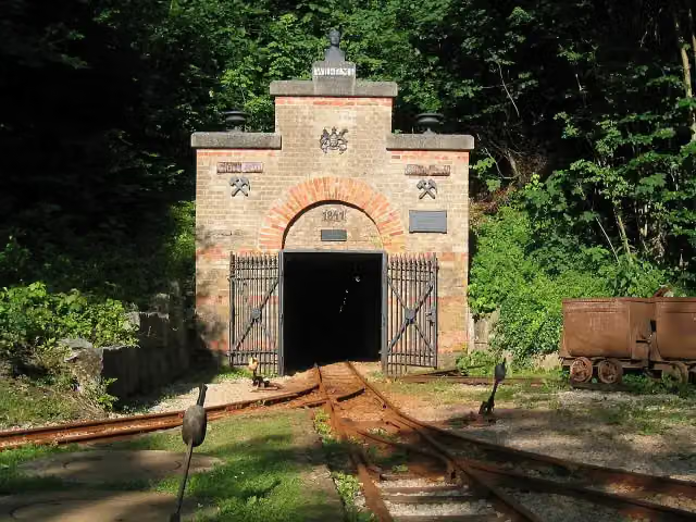 Mining museum (show mine)Museum · 1.7 km from the route
- 7
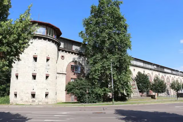 Untere Donaubastion (Werk XXIV)Attraction · 83 m from the route
- 8
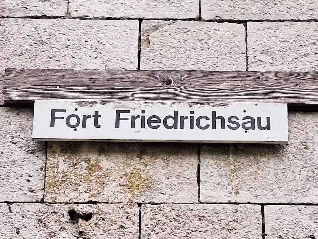 Fort Friedrichsau (Werk XLI)Attraction · 95 m from the route
- 9
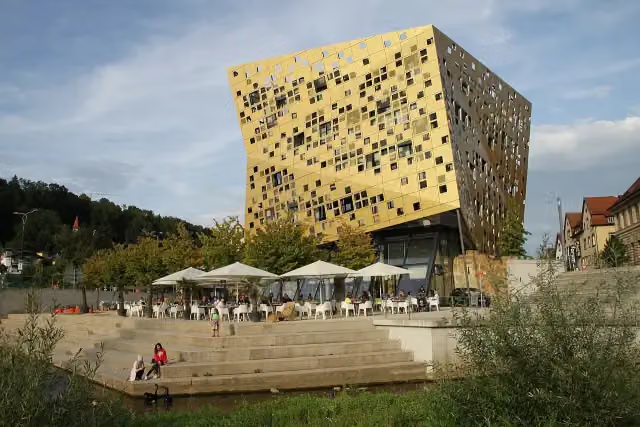 Forum Gold & SilberAttraction · 99 m from the route
- 10
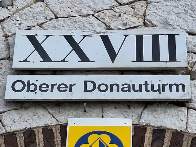 Oberer Donauturm (Werk XXVIII)Attraction · 111 m from the route
- 11
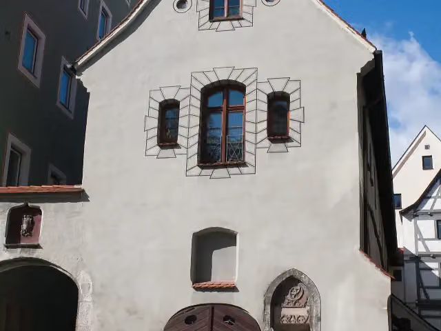 SteinhausAttraction · 113 m from the route
- 12
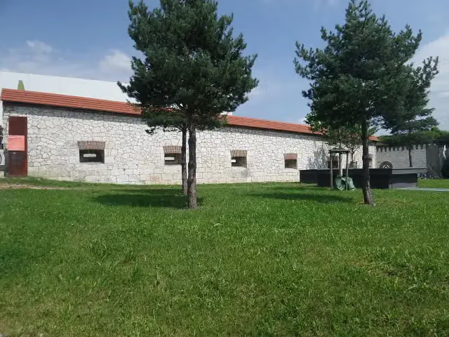 Obere Stadtkehle (Werk XXVII)Attraction · 123 m from the route
- 13
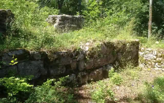 Ruine HerwartsteinViewpoint · 130 m from the route
- 14
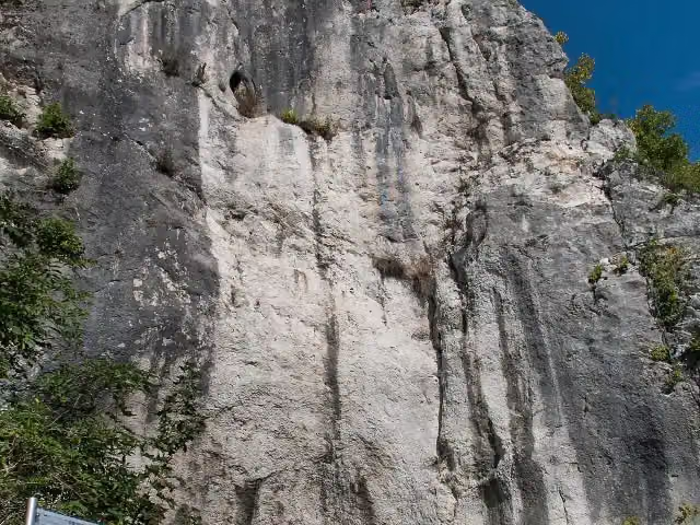 HeidenschmiedeArchaeological site · 131 m from the route
- 15
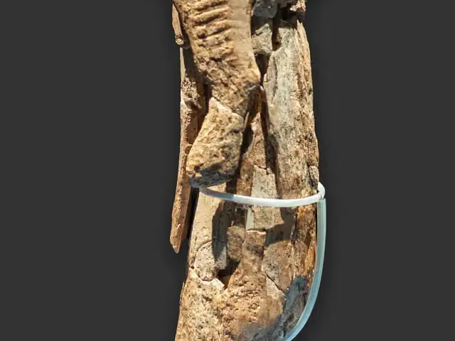 Museum UlmMuseum · 139 m from the route
- 16
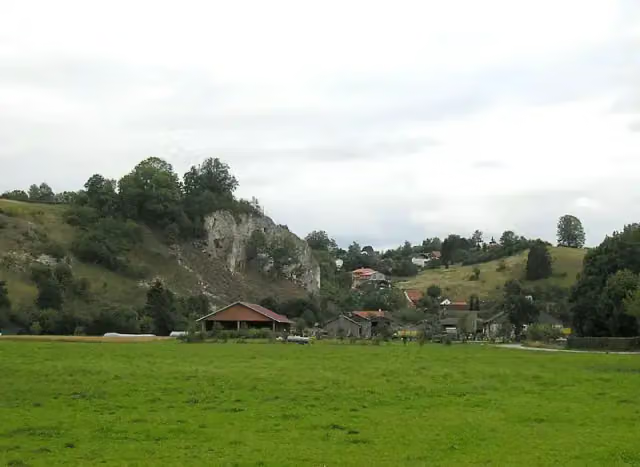 EselsburgCastle · 145 m from the route
- 17
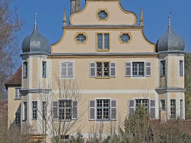 Schloss LiebensteinCastle · 151 m from the route
- 18
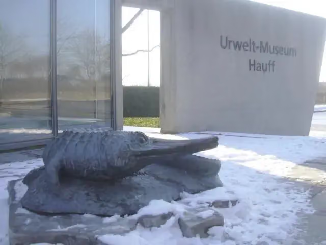 Urweltmuseum HauffMuseum · 159 m from the route
- 19
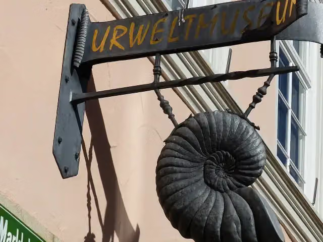 UrweltmuseumMuseum · 160 m from the route
- 20
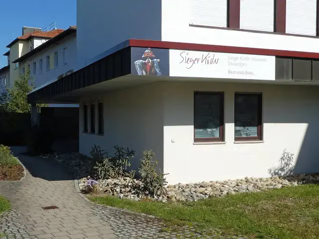 Sieger-Köder-MuseumMuseum · 163 m from the route
- 21
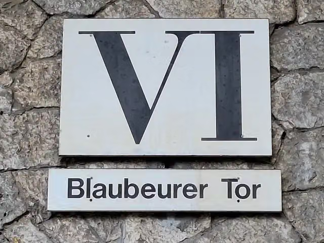 Blaubeurer Tor (Werk VI)Attraction · 172 m from the route
- 22
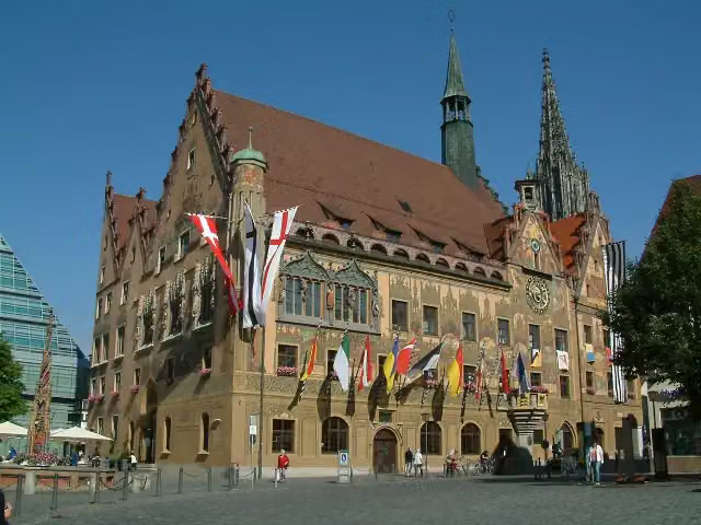 RathausAttraction · 177 m from the route
- 23
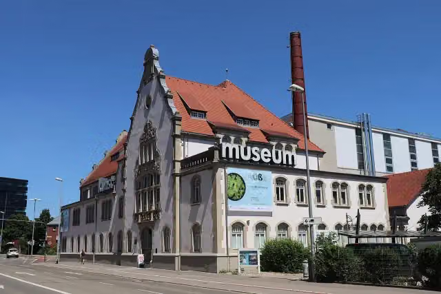 Kunstmuseum HeidenheimMuseum · 194 m from the route
- 24
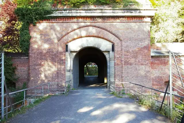 Memminger TorAttraction · 197 m from the route
- 25
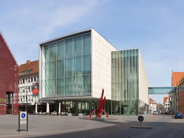 Kunsthalle WeishauptMuseum · 200 m from the route
Explore more
More cycle routes around Crailsheim
Frequently asked questions
How long is Württemberger Tälerradweg?
Württemberger Tälerradweg is 272.4 km long. Allow ± 18:10 h of riding: 15 km an hour, without breaks.
Is this route a circular ride?
No, the route runs from Crailsheim to Schwäbisch Gmünd.
Where does this route start?
The route starts in Crailsheim.
How hard is this route?
Hard, with 1,403 m of climbing.
Are there toilets along this route?
Yes, there are 39 public toilets within 100 m of the route. The longest stretch without a toilet is 52.6 km.
Can you fill up with water along this route?
Yes, there are 16 water fountains and refill points within 100 m of the route.
What is there to see along this route?
Along the way you pass Schloss Rechenberg, Alamannenmuseum Ellwangen and LGS Turm Jagstblick.
Can I download this route as a GPX file?
Yes. Sign in with your Outdoor Pitstop account and choose Download GPX at the top of this page: 10 routes a month for free, unlimited with Pro.
Starting point
More routes from this place
Route data © OpenStreetMap contributors





