 Outdoor Pitstop
Cycle route · Kelheim · Updated on 14 November 2026
Tauber-Altmühl-Radweg cycle route
Tauber-Altmühl-Radweg is a cycle route of 342 km from Kelheim. Along the way you'll find 743 benches, 30 water fountains and refill points, 58 public toilets, 9 bike pumps and 3 honesty boxes and farm vending machines.
i
i
i
The route step by step
From start to finish, with what you pass along the way and the distance in between.
- 342 km
- ± 22:50 h
- ↑ 670 m · ↓ 867 m
- Hard
- From A to B
- Regional route
Start in Kelheim
0 km178 m · 5 benches
Public toilet
178 m7.9 km · 11 benches

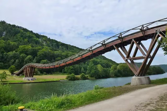
Tatzlwurm
8.1 kmAttraction
2 km · 2 benches
Water point
10.1 km5.7 km · 6 benches
Kristallmuseum Riedenburg
15.8 kmMuseum
196 m · 2 benches
Public toilet
16 km421 m · 4 benches
Public toilet, water point and bike pump
16.4 km388 m · 2 benches
Water point
16.8 km17.1 km · 17 benches
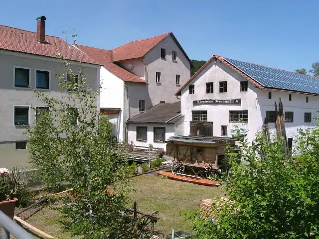
Altmühltaler Mühlenmuseum
33.8 kmWater point
257 m · 4 benches
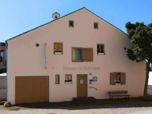
Museum im Hollerhaus
34.1 kmPublic toilet and water point
2.7 km · 22 benches
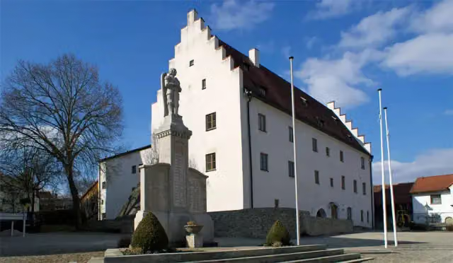
Schloß Töging
36.8 kmCastle
365 m
Water point
37.2 km4 km · 2 benches
Public toilet
41.2 km4.7 km · 5 benches
Public toilet and bike pump
45.9 km270 m · 9 benches
Spielzeugmuseum
46.2 kmPublic toilet
1.6 km
2 water fountains and refill points
47.8 km4.1 km · 2 benches
2 public toilets
51.9 km5.9 km · 5 benches
Water point
57.8 km813 m · 3 benches
Public toilet
58.6 km2.6 km · bench
Public toilet and water point
61.2 km11.3 km · 22 benches
Public toilet
72.5 km2.9 km · 5 benches
Public toilet
75.5 km176 m
Burg Pfalzpaint
75.6 kmRuins
11.1 km · 11 benches
Honesty box
86.7 km3.6 km · 7 benches
Public toilet
90.3 km493 m · bench
Water point
90.8 km341 m
Public toilet
91.2 km699 m
Spiegelsaal und Prunkzimmer
91.9 kmWater point
206 m · 6 benches
Public toilet, water point and bike pump
92.1 km170 m · 8 benches
Public toilet
92.2 km
Show the other 54 steps
7.7 km · 28 benches
Public toilet
99.9 km5.9 km · 3 benches
Burgstein
105.9 kmAttraction
1.6 km · bench
Bike pump
107.5 km263 m · 2 benches
Water point
107.7 km362 m · 2 benches
Altmühlzentrum
108.1 kmPublic toilet
5.3 km · 12 benches
Public toilet, water point and bike pump
113.4 km5.7 km · 5 benches
2 public toilets
119.1 km655 m · 5 benches
Bürgermeister-Müller-Museum
119.8 km2 public toilets and bike pump
199 m · bench
Sola Basilika
120 kmWater point
6.8 km · 23 benches
Water point
126.8 km157 m · 2 benches
Altes Schloss and 1 more
127 kmNeues Schloß, public toilet and 3 water fountains and refill points
172 m · 2 benches
Städtische Galerie
127.1 kmMuseum
8 km · 29 benches
Museum Treuchtlingen and 1 more
135.1 kmAurnhammer-Sammlung and public toilet
162 m · 13 benches
Schloss Treuchtlingen
135.3 kmPublic toilet
165 m · 8 benches
Denkmalslok
135.5 kmAttraction
645 m · 3 benches
Public toilet and water point
136.1 km17.6 km · 3 benches
Water point
153.7 km5.8 km · 2 benches
Water point
159.5 km1.4 km · 2 benches
Public toilet and water point
160.9 km296 m · 20 benches
Färberturm
161.2 kmPublic toilet
189 m · 10 benches
3 public toilets
161.4 km157 m · 7 benches
Public toilet
161.6 km2.3 km · 16 benches
Public toilet
163.8 km650 m · 9 benches
Public toilet
164.5 km1.9 km · 15 benches
Public toilet and water point
166.4 km1.2 km · 14 benches
Public toilet
167.6 km6.3 km · 5 benches
Public toilet
173.9 km761 m · 10 benches
Water point
174.7 km15.9 km · 5 benches
Public toilet and water point
190.6 km13 km · 27 benches
Gustav-Weißkopf-Denkmal and 2 more
203.7 kmStadtschloss, Gustav-Weisskopf-Museum, public toilet and water point
258 m · 3 benches
Public toilet
203.9 km15.2 km · 7 benches
Water point
219.1 km7.3 km · bench
Ursprung der Altmühl
226.4 kmMemorial
3.9 km · bench
Schloss Windelsbach
230.4 kmCastle
12.7 km · 12 benches
Public toilet
243.1 km577 m · 3 benches
Public toilet
243.6 km1.2 km · 43 benches
Double Bridge over the Tauber River
244.9 kmAttraction
925 m · 2 benches
Toppler Little Castle
245.8 kmAttraction
1.6 km · 10 benches
Public toilet and bike pump
247.4 km9.1 km · 16 benches
Bike pump and honesty box
256.4 km7.1 km · 16 benches
Jüdisches Museum Creglingen and 1 more
263.6 kmSchloss Creglingen
213 m
Public toilet
263.8 km10 km · 16 benches
2 public toilets
273.8 km388 m
Public toilet
274.2 km7.3 km · 5 benches
Public toilet
281.5 km213 m · bench
Tauberländer Dorfmuseum
281.7 kmPublic toilet
11.6 km · 33 benches
Bike pump
293.3 km13 km · 32 benches
Public toilet
306.3 km3.4 km · 2 benches
Water point
309.8 km3.5 km · 30 benches
Kurmainzisches Schloss and 3 more
313.3 kmTauberfränkisches Landschaftsmuseum, Zwinger, St. Martin and public toilet
182 m · 2 benches
St. Liobakirche
313.4 km3 public toilets and honesty box
12.3 km · 28 benches
Unteres Schloss
325.7 kmCastle
11.8 km · 17 benches
2 public toilets
337.6 km4.4 km · 14 benches
Finish
342 km
Longest stretch without a toilet: 39.1 kmBetween 203.9 km and 243.1 km there is no public toilet within 100 m of the route.
The route with the pitstops and sights within 100 m of it.
36 sights along the way
In the order you pass them. With the Outdoor Pitstop app you hear their story on the spot. 28 more along the route are on the map.
i
Photo: Pufacz · Wikimedia Commons · CC BY-SA 3.0View the photo on Wikimedia CommonsAttraction · after 8.1 km

Museum · after 15.8 km
i
Photo: Wleiter · Wikimedia Commons · CC BY-SA 4.0View the photo on Wikimedia CommonsMuseum · after 33.9 km
i
Photo: Stefan Karl · Wikimedia Commons · CC BY-SA 4.0View the photo on Wikimedia CommonsMuseum · after 34.2 km
i
Photo: Matthias Süß · Wikimedia Commons · CC BY-SA 3.0View the photo on Wikimedia CommonsCastle · after 36.8 km
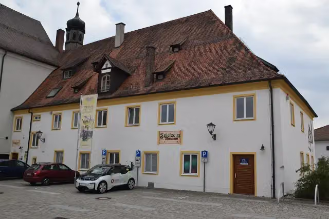
Museum · after 46.2 km
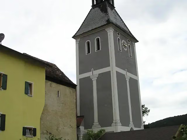
Ruins · after 75.6 km
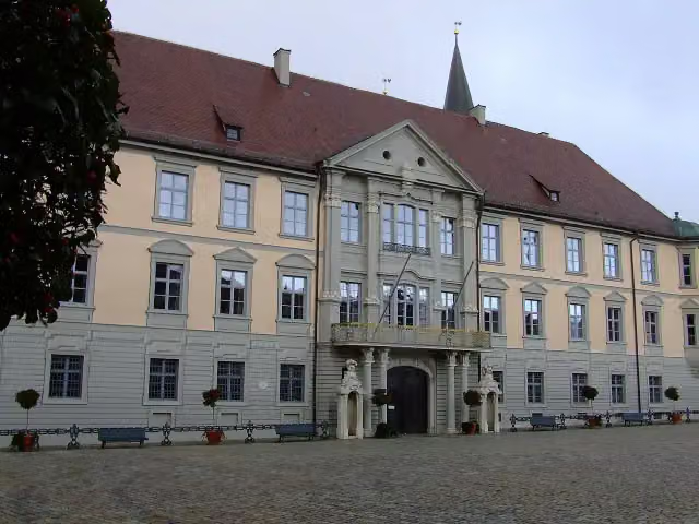
i
Photo: DALIBRI · Wikimedia Commons · CC BY-SA 2.0 deView the photo on Wikimedia CommonsMuseum · after 91.9 km
Elevation and terrain
- Up
- ↑ 670 m
- Down
- ↓ 867 m
- Highest point
- 509 m
- Lowest point
- 147 m
- 1 flight of stairs
Elevation from Copernicus GLO-30 (European Union and ESA), smoothed.
produced using Copernicus WorldDEM-30 © DLR e.V. 2010-2014 and © Airbus Defence and Space GmbH 2014-2018 provided under COPERNICUS by the European Union and ESA; all rights reserved
Way types
342 km in total- Track: 161.2 km
- Road: 59.2 km
- Street: 55.9 km
- Path: 47.1 km
- Cycle path: 11.1 km
- Busy road: 4.7 km
- Footpath (walk your bike): 2 km
- Steps (carry your bike): 1 flight of stairs
Surfaces
342 km in total- Asphalt: 257.2 km
- Gravel: 47.3 km
- Paved: 15.1 km
- Unknown: 21.6 km
About the cycle route Tauber-Altmühl-Radweg
Updated on 14 November 2026, with data from OpenStreetMap, the AHN and Copernicus.
Where do you cycle?
Tauber-Altmühl-Radweg is a cycle route of 342 km that starts in Kelheim. It does not end where it starts. Along the way you pass Tatzlwurm (after 8.1 km), Kristallmuseum Riedenburg (after 15.8 km) and Altmühltaler Mühlenmuseum (after 33.9 km).
How hard is the route?
You climb 670 m in total and descend 867 m. There is 1 flight of steps along the way. Allow ± 22:50 h, without breaks. The level is hard.
What roads do you cycle on?
The longest part is track (161.2 km), road (59.2 km) and street (55.9 km). Of the surface, 257.2 km asphalt and 47.3 km gravel. For 21.6 km the surface is not known.
Pitstops along the way
Within 100 metres of the route there are 743 benches, 30 water fountains and refill points, 58 public toilets, 9 bike pumps and 3 honesty boxes and farm vending machines. The longest stretch without a toilet is 39.1 km. The Outdoor Pitstop app navigates you there.
Cycle routes nearby
6- Altmühltal-RadwegHard · From A to B243.2 km
- GeoRadweg Altmühltal Route 2Hard · From A to B182.4 km
- GeoRadweg Altmühltal BahnzubringerEasy · From A to B6.8 km
- Deutscher Limes-Radweg 6. Abschnitt Weißenburg - RegensburgHard · From A to B141.6 km
- Donauradweg - Abschnitt Deutschland 3Hard · From A to B132.3 km
- D-Route 6 - Donauroute [Ingolstadt - Regensburg]Hard · From A to B93.8 km
Sights nearby
Within 10 km of the route, best known first.
- 1
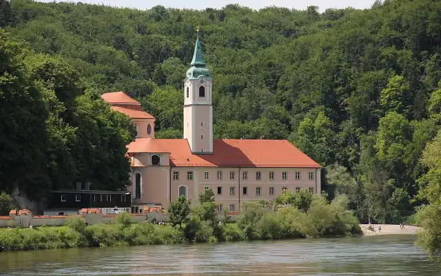 Kloster WeltenburgAttraction · 3 km from the route
- 2
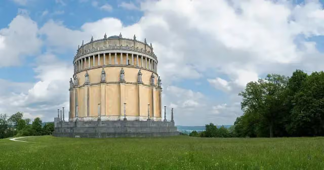 Hall of LiberationAttraction · 414 m from the route
- 3
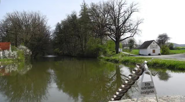 Fossa CarolinaAttraction · 617 m from the route
- 4
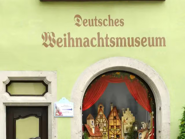 German Christmas MuseumMuseum · 308 m from the route
- 5
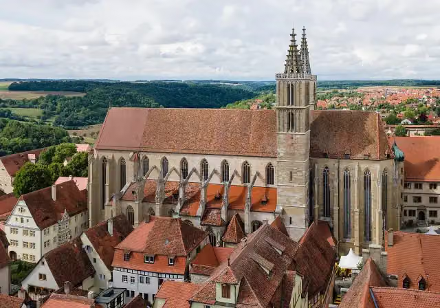 St James' ChurchAttraction · 312 m from the route
- 6
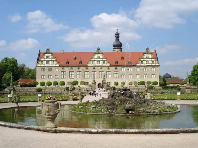 Schloss WeikersheimAttraction · 162 m from the route
- 7
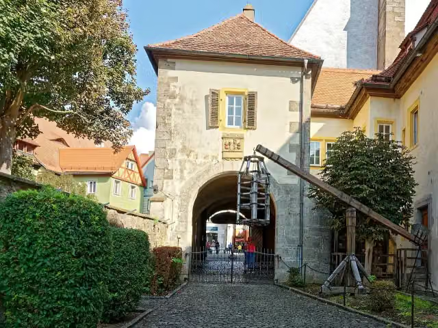 Medieval Crime MuseumMuseum · 179 m from the route
- 8
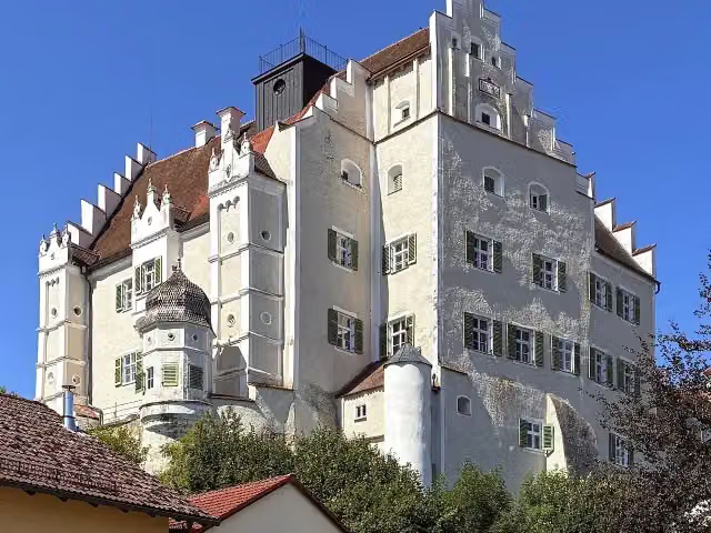 Schloss SandersdorfCastle · 8.6 km from the route
- 9
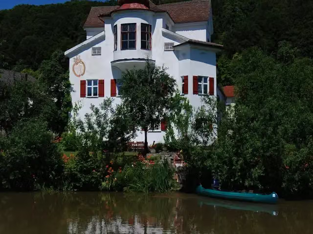 Schloss InchingCastle · 81 m from the route
- 10
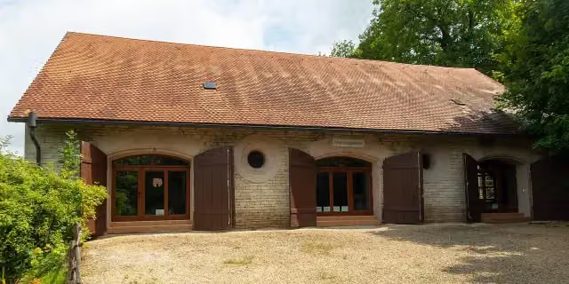 Natur- und JagdmuseumMuseum · 103 m from the route
- 11
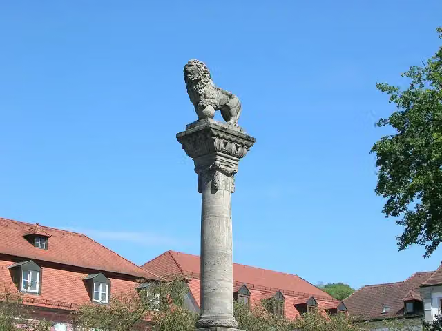 MemorialMemorial · 107 m from the route
- 12
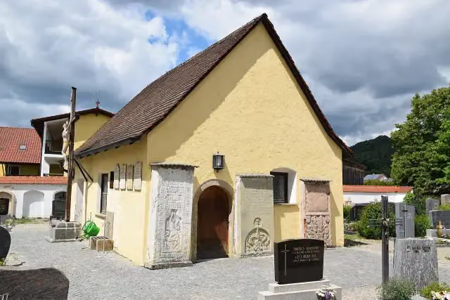 MemorialMemorial · 115 m from the route
- 13
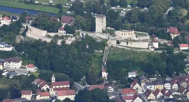 Burg PappenheimAttraction · 115 m from the route
- 14
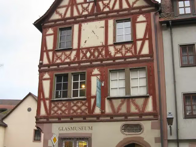 GlasmuseumMuseum · 134 m from the route
- 15
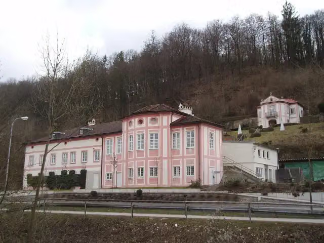 Cobenzl SchlösschenAttraction · 140 m from the route
- 16
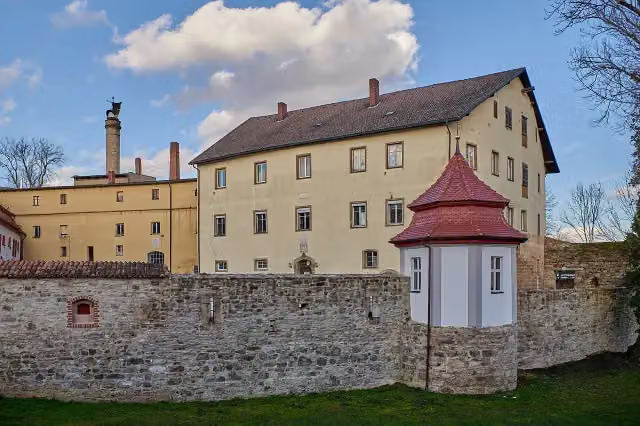 Stadtschloss HerriedenCastle · 141 m from the route
- 17
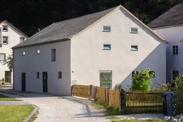 Stein.Wasser.Höhle - Jurahausensemble ObermühleMuseum · 146 m from the route
- 18
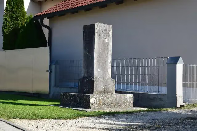 Römersäule PfünzMemorial · 163 m from the route
- 19
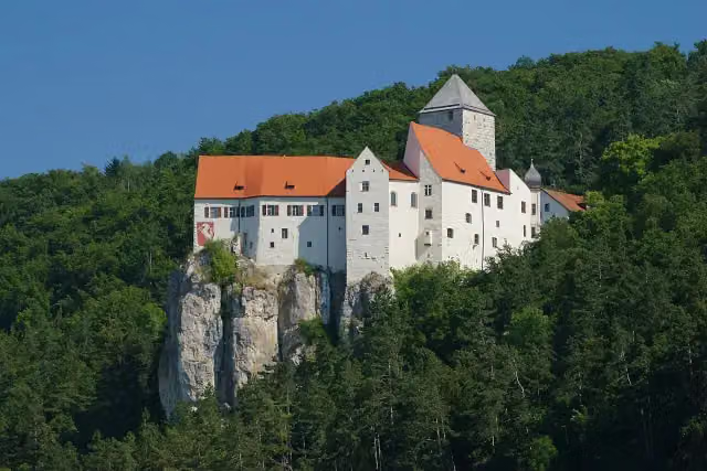 Burg PrunnAttraction · 166 m from the route
- 20
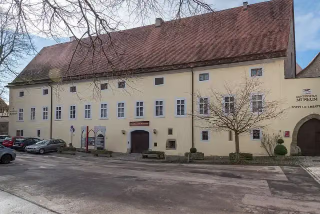 DominikanerinnenklosterMuseum · 172 m from the route
- 21
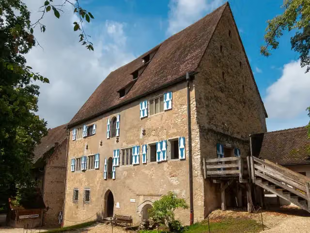 Historisches MuseumMuseum · 174 m from the route
- 22
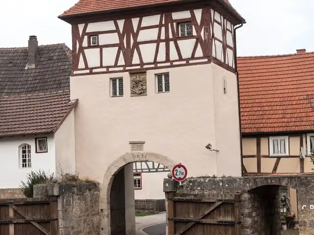 Oberes TorAttraction · 188 m from the route
- 23
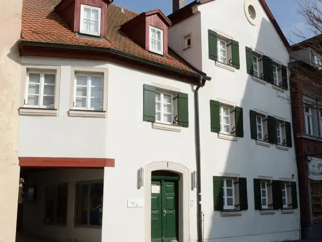 Archäologisches Museum GunzenhausenMuseum · 189 m from the route
- 24
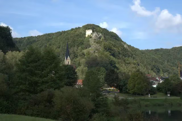 Burgruine TachensteinCastle · 196 m from the route
- 25
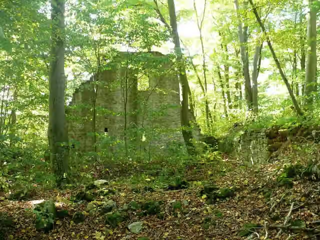 Burg SeldeneckCastle · 197 m from the route
Explore more
More cycle routes around Kelheim
Frequently asked questions
How long is Tauber-Altmühl-Radweg?
Tauber-Altmühl-Radweg is 342 km long. Allow ± 22:50 h of riding: 15 km an hour, without breaks.
Is this route a circular ride?
No, the route starts and ends at different spots.
Where does this route start?
The route starts in Kelheim.
How hard is this route?
Hard, with 670 m of climbing.
Are there toilets along this route?
Yes, there are 58 public toilets within 100 m of the route. The longest stretch without a toilet is 39.1 km.
Can you fill up with water along this route?
Yes, there are 30 water fountains and refill points within 100 m of the route.
What is there to see along this route?
Along the way you pass Tatzlwurm, Kristallmuseum Riedenburg and Altmühltaler Mühlenmuseum.
Can I download this route as a GPX file?
Yes. Sign in with your Outdoor Pitstop account and choose Download GPX at the top of this page: 10 routes a month for free, unlimited with Pro.
Starting point
More routes from this place
Route data © OpenStreetMap contributors





