 Outdoor Pitstop
Walking route · Sylt · Updated on 13 November 2026
Nord Süd Trail walk
Nord Süd Trail is a walk of 3,697.1 km from Sylt. Along the way you'll find 11,195 benches, 170 water fountains and refill points, 447 public toilets, 68 bike pumps and 14 honesty boxes and farm vending machines.
i
i
i
The route step by step
From start to finish, with what you pass along the way and the distance in between.
- 3,697.1 km
- From A to B
- International route
Pick a stage to see the pitstops per kilometre. Along the way you'll find 11,195 benches, 170 water fountains and refill points, 447 public toilets, 68 bike pumps and 14 honesty boxes and farm vending machines.
Follow these steps in the appThe route with the water points, toilets and sights within 100 m of it.
317 sights along the way
In the order you pass them. With the Outdoor Pitstop app you hear their story on the spot. 309 more along the route are on the map.
i
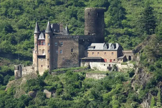
Photo: N. Simonsen · Wikimedia Commons · CC BY-SA 3.0View the photo on Wikimedia CommonsAttraction
i
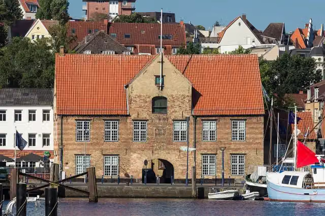
Photo: VollwertBIT · Wikimedia Commons · CC BY-SA 2.5View the photo on Wikimedia CommonsMuseum
i
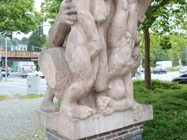
Photo: Hjart · Wikimedia Commons · CC BY-SA 4.0View the photo on Wikimedia CommonsMemorial
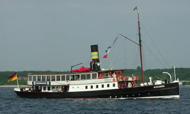
i
Photo: VollwertBIT · Wikimedia Commons · CC BY-SA 2.5View the photo on Wikimedia CommonsAttraction
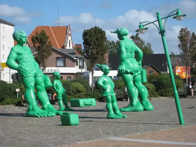
i
Photo: © JD (de.wikipedia.org) · Wikimedia Commons · CC BY-SA 4.0View the photo on Wikimedia CommonsMemorial
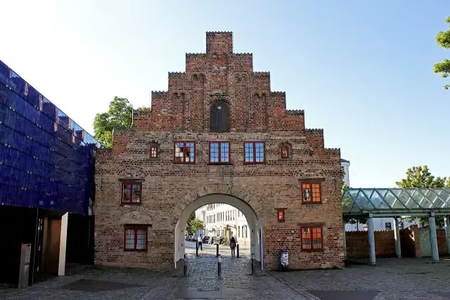
i
Photo: Soenke Rahn · Wikimedia Commons · CC BY-SA 3.0 deView the photo on Wikimedia CommonsAttraction
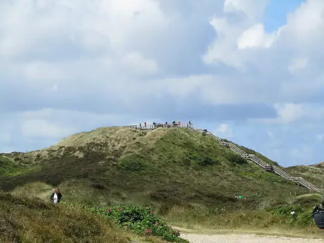
i
Photo: J. Braukmann Milseburg · Wikimedia Commons · CC BY-SA 3.0View the photo on Wikimedia CommonsViewpoint
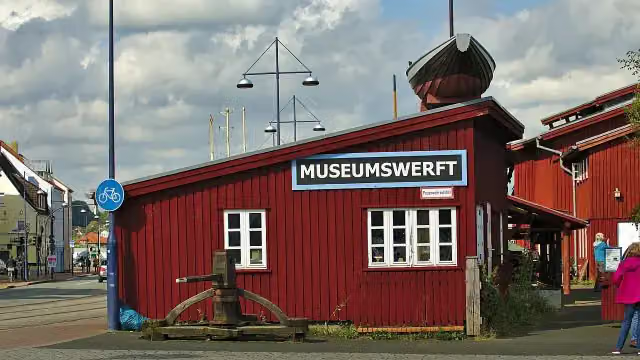
i
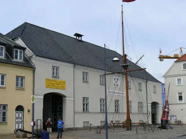
Photo: StefanPausFL · Wikimedia Commons · CC BY 3.0View the photo on Wikimedia CommonsMuseum
Stages (41)
- 1Abschnitt Sylt - Flensburg109.8 km
- 2Abschnitt Flensburg - Kiel147.1 km
- 3Abschnitt Kiel - Kücknitz153.3 km
- 4Abschnitt Kücknitz - Bergedorf131.5 km
- 5Abschnitt Bergedorf - Fischbek49.3 km
- 6Abschnitt Celle - Porta Westfalica168.1 km
- 7Weserbergland-Weg225.8 km
- 8Abschnitt Hann. Münden - Brilon227 km
- 9Abschnitt Brilon - Winterberg43.7 km
- 10Abschnitt Winterberg - Lützel59.7 km
- 11Abschnitt Lützel - Bismarcktempel51 km
- 12Abschnitt Bismarcktempel - Herborn21 km
- 13Abschnitt Herborn - Westerburg57.8 km
- 14Abschnitt Westerburg - Hachenburg59.1 km
- 15Abschnitt Hachenburg - Herchen62.5 km
- 16Abschnitt Herchen - Siegburg65.4 km
- 17Abschnitt Siegburg - Bad Honnef44.8 km
- 18Abschnitt Bad Honnef - Leutesdorf47.9 km
- 19Abschnitt Leutesdorf - Koblenz56.2 km
- 20Abschnitt Koblenz - Sankt Goarshausen61.9 km
- 21Abschnitt Sankt Goarshausen - Rüdesheim55.8 km
- 22North South Trail, Abschnitt Rüdesheim - Rudolfshaus77.7 km
- 23Abschnitt Rudolfshaus - Erbeskopf84.9 km
- 24Abschnitt Erbeskopf - Saarschleife114 km
- 25Abschnitt Saarschleife - Dagstuhl55.4 km
- 26Abschnitt Dagstuhl - Sankt Wendel51.2 km
- 27Abschnitt Sankt Wendel - Lauterecken95.8 km
- 28Abschnitt Lauterecken - Bockenheim107.2 km
- 29Abschnitt Bockenheim - Schweigen-Rechtenbach168.3 km
- 30Abschnitt Schweigen-Rechtenbach - Karlsruhe49.6 km
- 31Abschnitt Karlsruhe - Pforzheim47 km
- 32Abschnitt Pforzheim - Forbach54.5 km
- 33Abschnitt Forbach - Hark64.7 km
- 34Abschnitt Hark - Kalte Herberge58.8 km
- 35Abschnitt Kalte Herberge - Lörrach104.9 km
- 36Abschnitt Lörrach - St. Blasien67.9 km
- 37Abschnitt St. Blasien - Singen (Hohentwiel)112.6 km
- 38Abschnitt Singen (Hohentwiel) - Friedrichshafen77.7 km
- 39Abschnitt Friedrichshafen - Weiler im Allgäu52.6 km
- 40Abschnitt Weiler im Allgäu - Ofterschwang87.1 km
- 41Abschnitt Ofterschwang - Haldenwanger Eck46 km
About the walking route Nord Süd Trail
Updated on 13 November 2026, with data from OpenStreetMap, the AHN and Copernicus.
Where do you walk?
Nord Süd Trail is a walking route of 3,697.1 km that starts in Sylt. It does not end where it starts. You start in Sylt and finish in Haldenwanger Eck.
Pitstops along the way
Within 100 metres of the route there are 11,195 benches, 170 water fountains and refill points, 447 public toilets, 68 bike pumps and 14 honesty boxes and farm vending machines. The Outdoor Pitstop app navigates you there.
Walks nearby
6- [R] Rheinhöhenweg [rrh. Lahnstein → Bonn Beuel]Hard · From A to B124.1 km
- Rheinsteig Etappe 3 [Bad Honnef - Linz]Hard · From A to B18.2 km
- Europäischer Fernwanderweg E8, Rheinland-PfalzHard · From A to B292.2 km
- Rheinburgenweg 2. Etappe Remagen - Bad BreisigModerate · From A to B15.8 km
- Linksrheinischer JakobswegHard · From A to B240.6 km
- Rheinburgenweg 1. Etappe Rolandsbogen - RemagenModerate · From A to B13.5 km
Sights nearby
Within 10 km of the route, best known first.
- 1
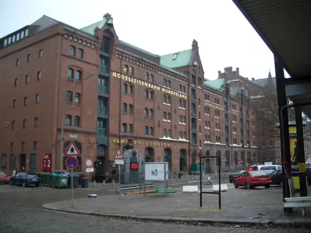 Miniature WonderlandAttraction · 1.2 km from the route
- 2
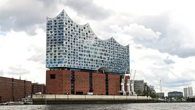 Elbe Philharmonic HallAttraction · 1 km from the route
- 3
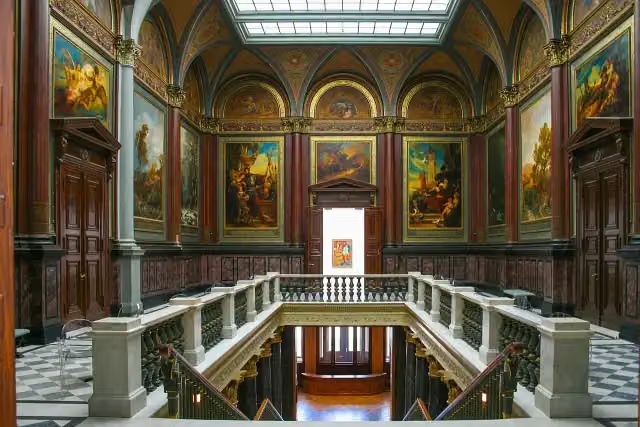 Hamburger KunsthalleMuseum · 277 m from the route
- 4
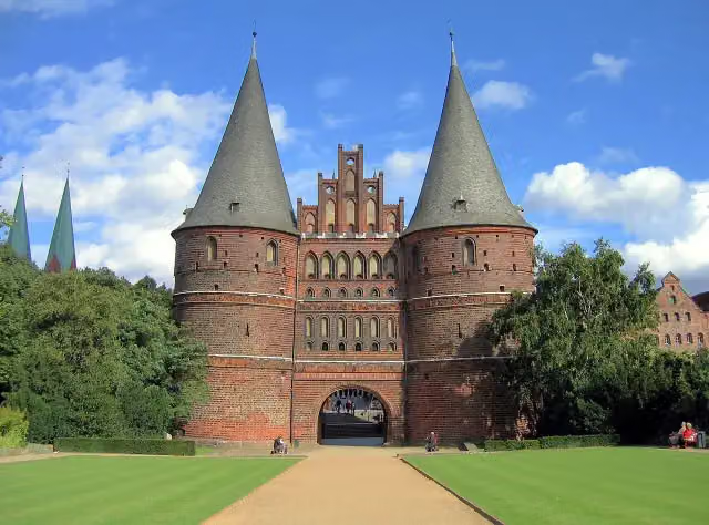 Holsten GateAttraction · 4 km from the route
- 5
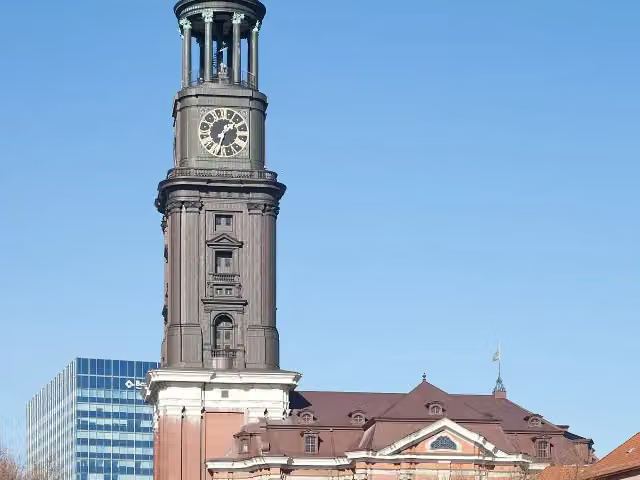 Church of St. MichaelAttraction · 374 m from the route
- 6
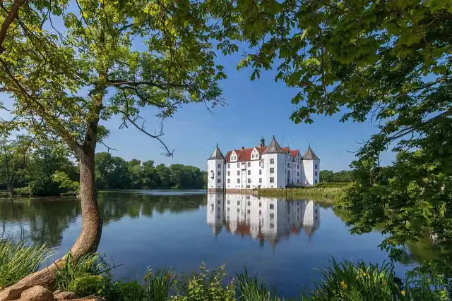 Schloss GlücksburgMuseum · 8.2 km from the route
- 7
 Ehrenbreitstein FortressCastle · 125 m from the route
- 8
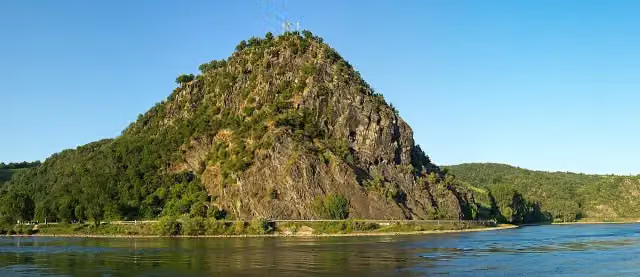 LoreleiAttraction · 330 m from the route
- 9
 Triberger WasserfälleAttraction · 3.7 km from the route
- 10
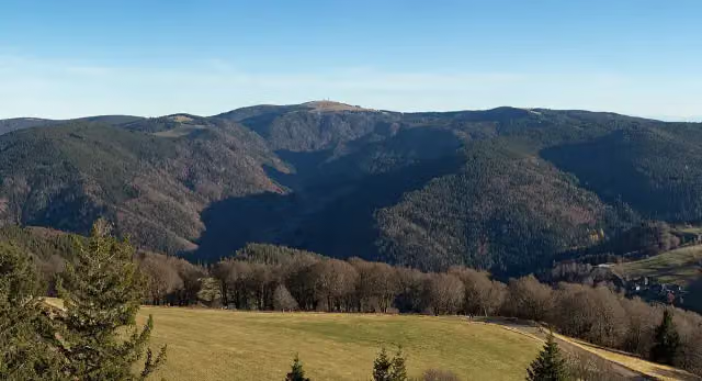 FeldbergViewpoint · 96 m from the route
- 11
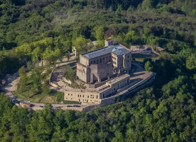 Hambacher SchlossAttraction · 170 m from the route
- 12
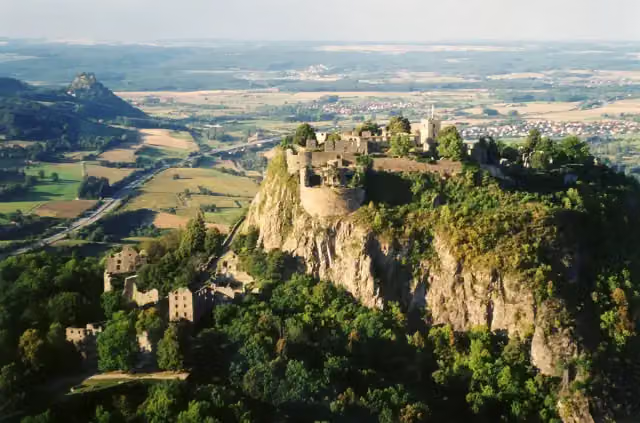 HohentwielViewpoint · 253 m from the route
- 13
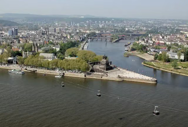 Deutsches EckViewpoint · 534 m from the route
- 14
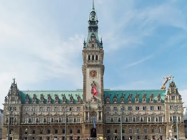 RathausAttraction · 834 m from the route
- 15
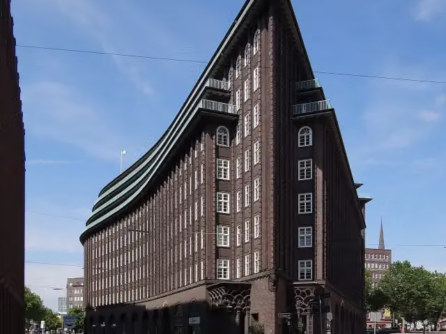 Chilehaus HamburgAttraction · 991 m from the route
- 16
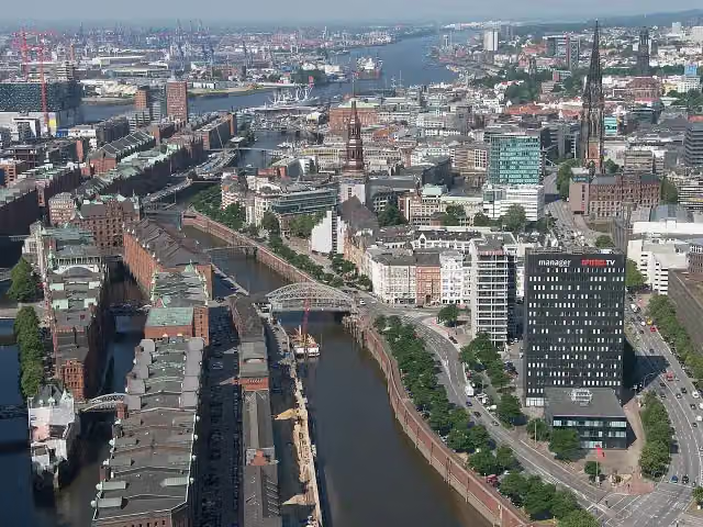 SpeicherstadtAttraction · 1 km from the route
- 17
 Vitra Design Museum, Frank Gehry (1989)Museum · 2.1 km from the route
- 18
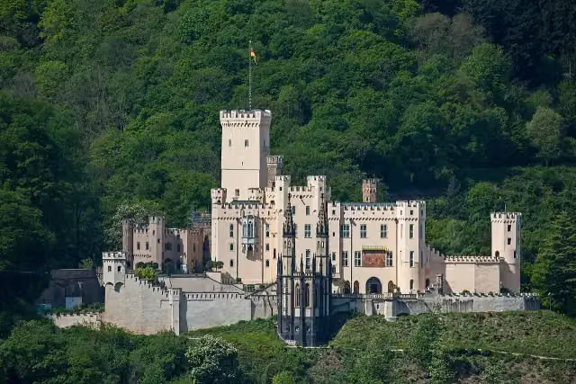 Schloss StolzenfelsCastle · 2.3 km from the route
- 19
 Kunstmuseum Basel | NeubauMuseum · 7.5 km from the route
- 20
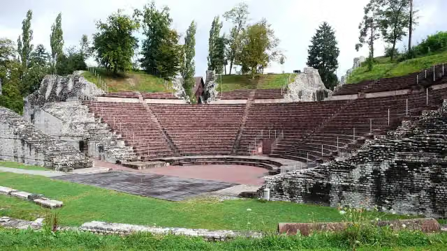 Augusta RauricaAttraction · 8.1 km from the route
- 21
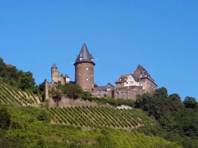 Burg StahleckCastle · 887 m from the route
- 22
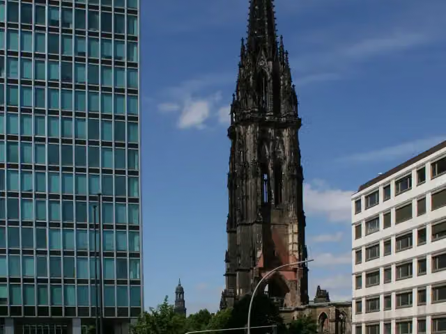 St. Nikolai MuseumMuseum · 1.1 km from the route
- 23
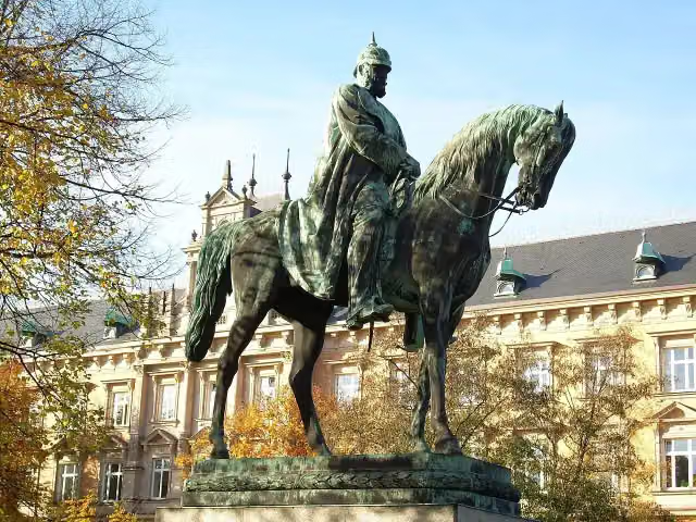 Planten un BlomenAttraction · 150 m from the route
- 24
 Wappen FC St. PauliMemorial · 403 m from the route
- 25
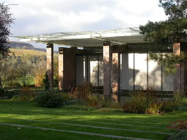 Fondation BeyelerMuseum · 2.7 km from the route
Explore more
Frequently asked questions
How long is Nord Süd Trail?
Nord Süd Trail is 3,697.1 km long, split into several parts and stages.
Is this route a circular walk?
No, the route runs from Sylt to Haldenwanger Eck.
Where does this route start?
The route starts in Sylt.
Are there toilets along this route?
Yes, there are 447 public toilets within 100 m of the route.
Can you fill up with water along this route?
Yes, there are 170 water fountains and refill points within 100 m of the route.
What is there to see along this route?
Along the way you pass Kompagnietor, Flensburger Schifffahrtsmuseum and Opfer der NS-Gewaltherrschaft.
Can I download this route as a GPX file?
Yes. Sign in with your Outdoor Pitstop account and choose Download GPX at the top of this page: 10 routes a month for free, unlimited with Pro.
Starting point
More routes from this place
Route data © OpenStreetMap contributors





