 Outdoor Pitstop
Walking route · Hann. Münden · Updated on 13 November 2026
Weserbergland-Weg walk
Weserbergland-Weg is a walk of 225.8 km from Hann. Münden. Along the way you'll find 483 benches, 12 public toilets and 3 bike pumps.
i
i
The route step by step
From start to finish, with what you pass along the way and the distance in between.
- 225.8 km
- ± 4:30 h per stage
- ↑ 4,756 m · ↓ 4,769 m
- Hard per stage
- From A to B
- Regional route
Start in Hann. Münden
0 kmAt the start: Weserstein.
949 m · 34 benches

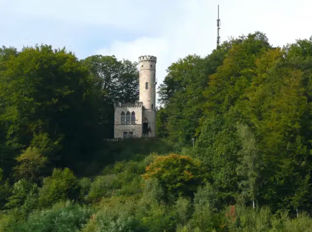
Tillyschanzen-Turm and 1 more
949 mTillyschanze
26 km · 16 benches
Public toilet
26.9 km581 m · 4 benches
2 public toilets
27.5 km19.3 km · 47 benches
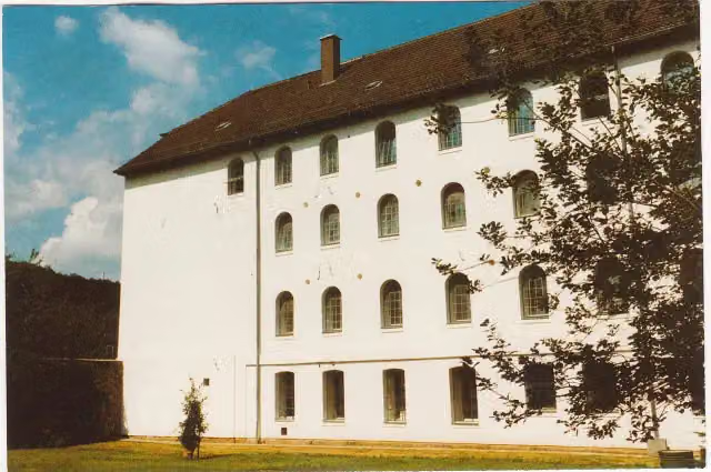
Deutsches Hugenotten-Museum and 1 more
46.8 kmLandgraf-Carl-Denkmal
196 m · 15 benches
2 public toilets and 2 bike pumps
47 km14.8 km · 88 benches
2 public toilets
61.8 km6.8 km · 10 benches
Public toilet
68.6 km2.9 km · 16 benches
Hochsollingturm
71.5 kmObservation tower
3.6 km · 12 benches
Observation tower
75.1 kmObservation tower
8.6 km · 25 benches
Public toilet
83.7 km16.5 km · 44 benches
Public toilet
100.2 km9 km · 18 benches
Bodoturm
109.2 kmObservation tower
3.9 km · 2 benches
Königszinne
113.1 kmCastle
36.3 km · 43 benches
Burg Ohsen
149.4 kmCastle
229 m
Bike pump
149.6 km22.3 km · 22 benches
Märzenbecherblüte
171.9 kmAttraction
5.8 km · 8 benches
Süntelturm
177.7 kmObservation tower
20.7 km · 14 benches
Paschenburg
198.4 kmCastle
3 km · bench
Osterburg
201.4 kmAttraction
7.8 km · 15 benches
Klippenturm
209.2 kmObservation tower
1.7 km · 8 benches
Die Hünenburg bei Todenmann
211 kmAttraction
2.1 km
Public toilet
213 km2.1 km · 5 benches
Besucherbergwerk Kleinenbremen
215.2 kmMuseum
8.9 km · 16 benches
Aussichtsplattform "Fernmeldeturm Jakobsberg"
224 kmPublic toilet
723 m · 11 benches
Schlageter-Denkmal
224.7 kmMemorial
152 m · 2 benches
Portakanzel
224.9 kmViewpoint
863 m · 6 benches
Finish
225.8 km
Longest stretch without a toilet: 112.8 kmBetween 100.2 km and 213 km there is no public toilet within 100 m of the route.
The route with the water points, toilets and sights within 100 m of it.
20 sights along the way
In the order you pass them. With the Outdoor Pitstop app you hear their story on the spot. 12 more along the route are on the map.

Attraction · after 0 m
Observation tower · after 949 m
Attraction · after 949 m
i
Photo: Verein Deutsches Hugenotten - Museum e.V. Bad Karlshafen · Wikimedia Commons · CC BY-SA 3.0 deView the photo on Wikimedia CommonsMuseum · after 46.8 km

i
Photo: GFreihalter · Wikimedia Commons · CC BY-SA 4.0View the photo on Wikimedia CommonsMemorial · after 47 km
Observation tower · after 71.5 km
i
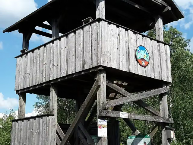
Photo: Leonpold33 · Wikimedia Commons · CC BY-SA 4.0View the photo on Wikimedia CommonsObservation tower · after 75.1 km
Observation tower · after 109.2 km
Stages (13)
- 1Weserberglandweg - Etappe 114 km
- 2Weserberglandweg - Etappe 213.2 km
- 3Weserberglandweg - Etappe 319.8 km
- 4Weserberglandweg - Etappe 412.4 km
- 5Weserberglandweg - Etappe 514.6 km
- 6Weserberglandweg - Etappe 622.8 km
- 7Weserberglandweg - Etappe 718.5 km
- 8Weserberglandweg - Etappe 819.2 km
- 9Weserberglandweg - Etappe 913.3 km
- 10Weserberglandweg - Etappe 1019.7 km
- 11Weserberglandweg - Etappe 1127.4 km
- 12Weserberglandweg - Etappe 1215.2 km
- 13Weserberglandweg - Etappe 1315.7 km
Elevation and terrain
- Up
- ↑ 4,756 m
- Down
- ↓ 4,769 m
- Highest point
- 506 m
- Lowest point
- 70 m
- 5-10% slope · 59.9 km
- 10-15% slope · 16.8 km
- 15-20% slope · 2.9 km
- 20 stairs
Elevation from Copernicus GLO-30 (European Union and ESA), smoothed.
produced using Copernicus WorldDEM-30 © DLR e.V. 2010-2014 and © Airbus Defence and Space GmbH 2014-2018 provided under COPERNICUS by the European Union and ESA; all rights reserved
Way types
225.8 km in total- Track: 133.5 km
- Path: 66.4 km
- Street: 14.7 km
- Road: 4.9 km
- Footpath: 2.2 km
- Busy road: 1.7 km
- Stairs: 20 stairs
- Unknown: 50 m
Surfaces
225.8 km in total- Gravel: 66.9 km
- Unpaved: 65.1 km
- Asphalt: 21.2 km
- Natural: 13.7 km
- Paved: 9.2 km
- Unknown: 49 km
About the walking route Weserbergland-Weg
Updated on 13 November 2026, with data from OpenStreetMap, the AHN and Copernicus.
Where do you walk?
Weserbergland-Weg is a walking route of 225.8 km that starts in Hann. Münden. It does not end where it starts. You start in Hann. Münden and finish in Porta Westfalica. Along the way you pass Weserstein (after 0 m), Tillyschanzen-Turm (after 949 m) and Tillyschanze (after 949 m).
How hard is the route?
You climb 4,756 m in total and descend 4,769 m. There are 20 flights of steps along the way. Allow ± 4:30 h per stage, without breaks. Per stage the level is hard.
What paths do you walk on?
The longest part is track (133.5 km), path (66.4 km) and street (14.7 km). Of the surface, 66.9 km gravel and 65.1 km unpaved. For 49 km the surface is not known.
Pitstops along the way
Within 100 metres of the route there are 483 benches, 12 public toilets and 3 bike pumps. The longest stretch without a toilet is 112.8 km. The Outdoor Pitstop app navigates you there.
Part of Nord Süd Trail
Website of the routeWalks nearby
6- Märchenlandweg - Etappe 31Hard · From A to B19.1 km
- StammesbrückeHard · From A to B46.4 km
- Märchenlandweg - Etappe 5Moderate · From A to B10.3 km
- Märchenlandweg - Etappe 4Moderate · From A to B12.1 km
- Nord Süd Trail, Abschnitt Hann.Münden - FalkensteinHard · From A to B72.2 km
- Fuldahöhenweg (Teilstück Guxhagen - Weserstein / Hann. Münden)Hard · From A to B47.6 km
Sights nearby
Within 10 km of the route, best known first.
- 1
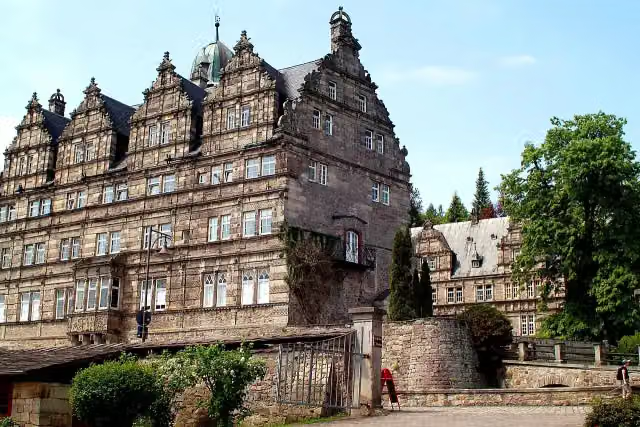 Schloss HämelschenburgAttraction · 114 m from the route
- 2
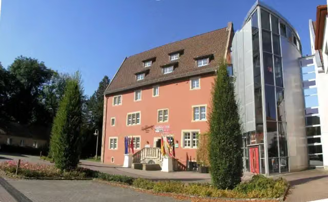 EulenburgMuseum · 3.1 km from the route
- 3
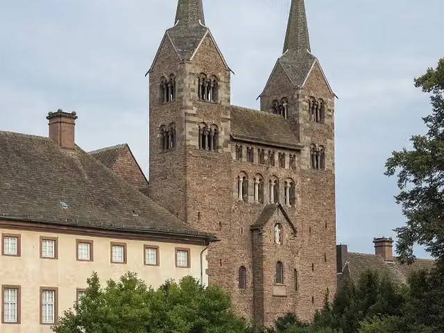 Abteikirche St. Stephanus und VitusAttraction · 8.3 km from the route
- 4
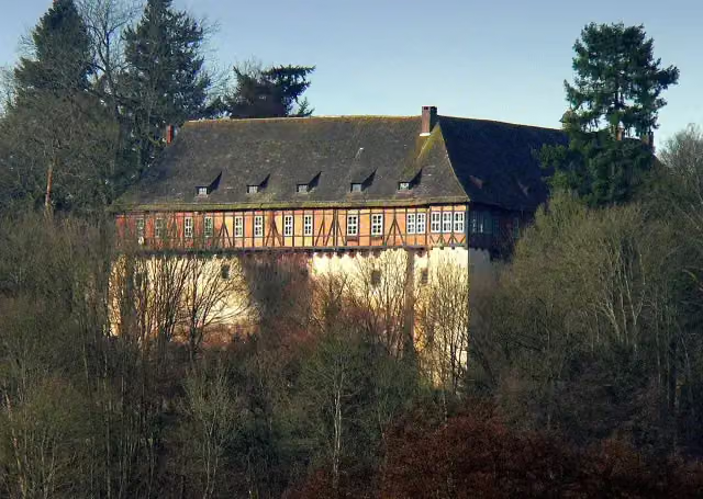 Schloss NienoverCastle · 99 m from the route
- 5
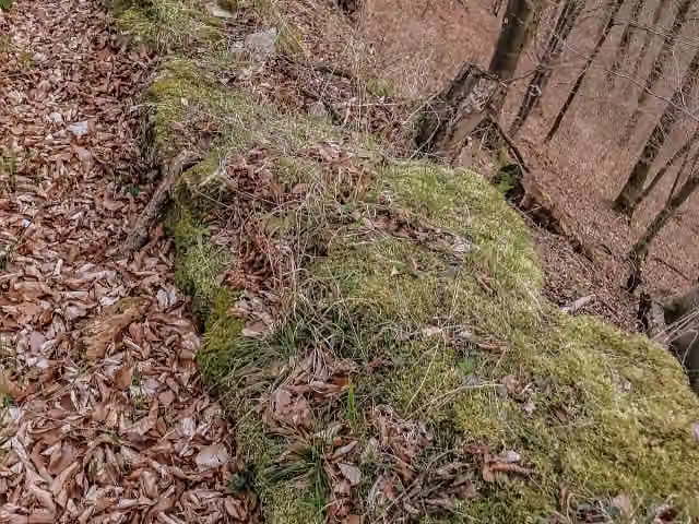 LauenburgRuins · 110 m from the route
- 6
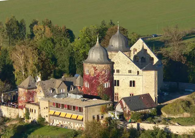 SababurgCastle · 113 m from the route
- 7
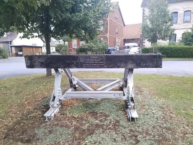 DampflokachseMemorial · 118 m from the route
- 8
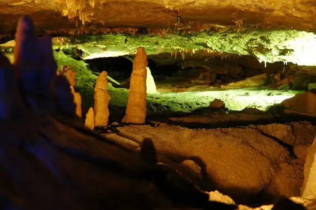 Schillat-HöhleAttraction · 145 m from the route
- 9
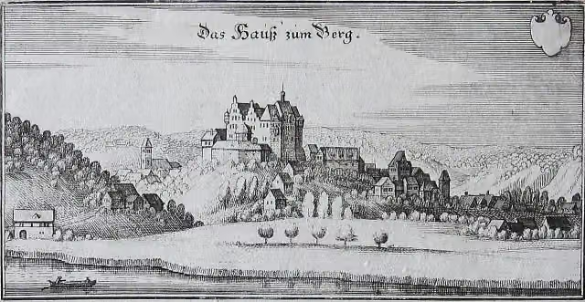 SchalksburgArchaeological site · 152 m from the route
- 10
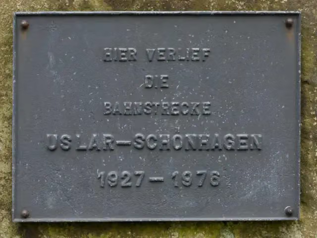 MemorialMemorial · 184 m from the route
- 11
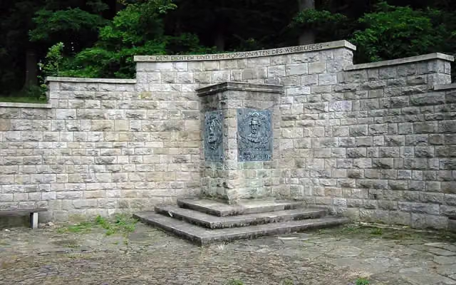 WeserliedanlageAttraction · 206 m from the route
- 12
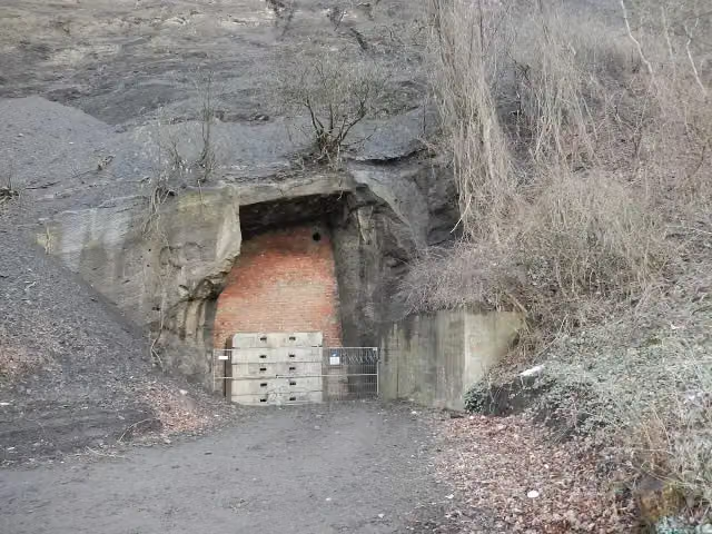 U-Verlagerung Dachs 1Monument · 220 m from the route
- 13
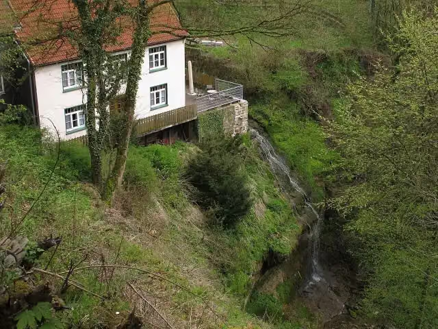 Großer Langenfelder WasserfallAttraction · 222 m from the route
- 14
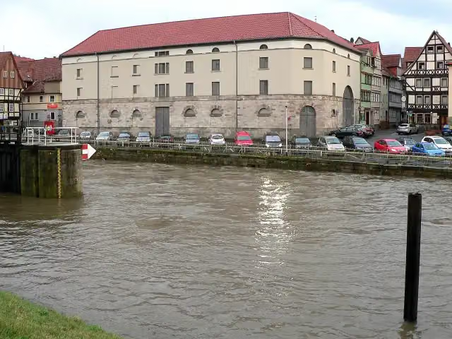 Historischer PackhofAttraction · 237 m from the route
- 15
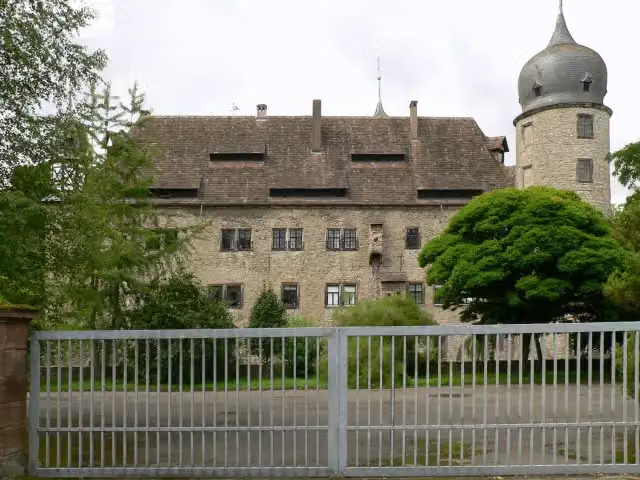 Wasserschloss HehlenCastle · 256 m from the route
- 16
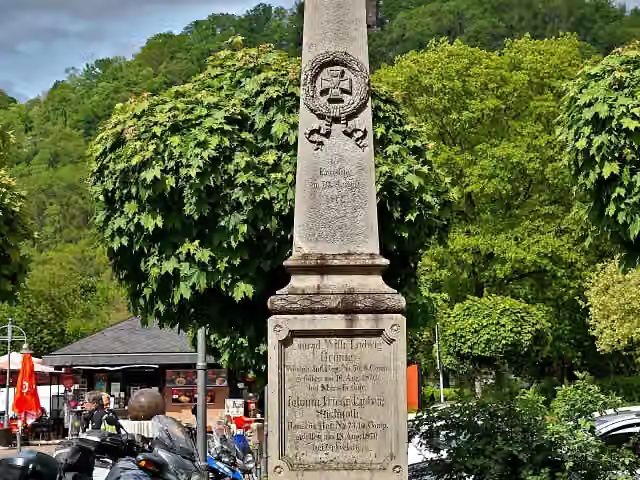 Gefallenendenkmal für den Deutsch-Französischen KriegMemorial · 275 m from the route
- 17
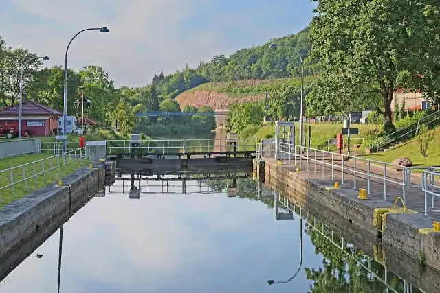 Reste der alten Umschlagstelle Münden an der WeserRuins · 284 m from the route
- 18
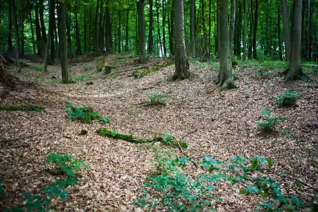 Nammer LagerArchaeological site · 311 m from the route
- 19
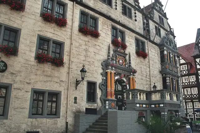 Historisches RathausAttraction · 344 m from the route
- 20
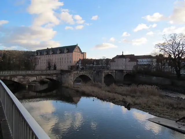 Alte WerrabrückeAttraction · 346 m from the route
- 21
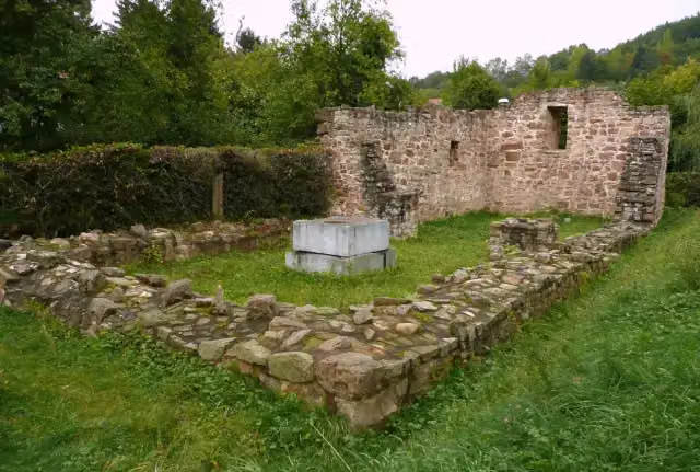 Ruine St. LaurentiusAttraction · 390 m from the route
- 22
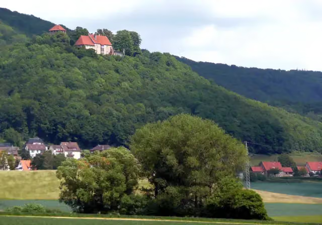 Burg SchaumburgAttraction · 409 m from the route
- 23
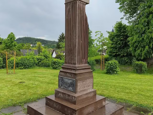 Gefallenendenkmal EinigungskriegeMemorial · 419 m from the route
- 24
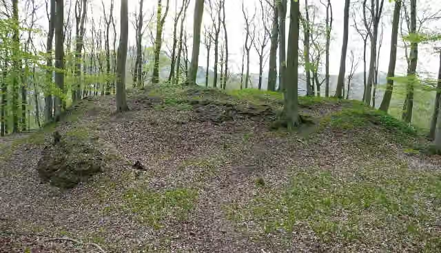 Burg RodenAttraction · 441 m from the route
- 25
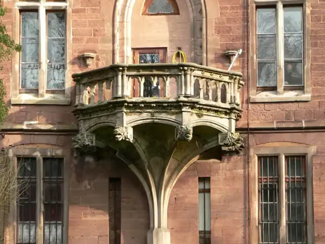 Schloss HastenbeckCastle · 486 m from the route
Explore more
More walks around Hann. Münden
Frequently asked questions
How long is Weserbergland-Weg?
Weserbergland-Weg is 225.8 km long, in 13 stages of 17.4 km on average. Allow ± 4:30 h per stage of walking: 4.5 km an hour and 10 minutes more per 100 metres of climbing, without breaks.
How many stages does this route have?
The route is split into 13 stages of 17.4 km on average, 225.8 km in all. The shortest stage is 12.4 km, the longest 27.4 km.
Is this route a circular walk?
No, the route runs from Hann. Münden to Porta Westfalica.
Where does this route start?
The route starts in Hann. Münden.
How hard is this route?
Hard per stage, with 366 m per stage of climbing.
Are there toilets along this route?
Yes, there are 12 public toilets within 100 m of the route. The longest stretch without a toilet is 112.8 km.
Can you fill up with water along this route?
No, there is no water point within 100 m of the route. Bring enough water.
What is there to see along this route?
Along the way you pass Weserstein, Tillyschanzen-Turm and Tillyschanze.
Which stage of this route has the most points of interest?
Stage 13 (15.7 km), with 5 points of interest along the route, such as Die Hünenburg bei Todenmann, Besucherbergwerk Kleinenbremen and Aussichtsplattform "Fernmeldeturm Jakobsberg".
Can I download this route as a GPX file?
Yes. Sign in with your Outdoor Pitstop account and choose Download GPX at the top of this page: 10 routes a month for free, unlimited with Pro.
Starting point
More routes from this place
Route data © OpenStreetMap contributors





