 Outdoor Pitstop
Walking route · Lübeck · Updated on 14 November 2026
Nord Süd Trail, Abschnitt Kücknitz - Bergedorf walk
Nord Süd Trail, Abschnitt Kücknitz - Bergedorf is a walk of 131.5 km from Lübeck. Along the way you'll find 242 benches, 1 water point, 11 public toilets and 2 bike pumps.
i
i
i
The route step by step
From start to finish, with what you pass along the way and the distance in between.
- 131.5 km
- ± 30:15 h
- ↑ 623 m · ↓ 634 m
- Hard
- From A to B
- International route
Start in Lübeck
0 km4.7 km · 3 benches
Public toilet
4.7 km14 km · 20 benches
Bike pump
18.7 km9.2 km · 6 benches
Water point
27.9 km14.6 km · 15 benches
Public toilet
42.4 km5.5 km · 12 benches
Public toilet
47.9 km955 m · 31 benches
Public toilet
48.9 km11.1 km · 35 benches

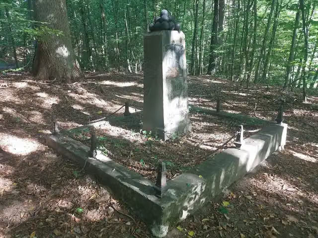
1813 Befreiungskriege
60 kmMemorial
1.9 km · 12 benches
Till-Eulenspiegel-Brunnen and 1 more
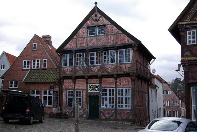
61.9 kmEulenspiegelmuseum and 2 public toilets
273 m · 4 benches
Public toilet
62.1 km365 m · 2 benches
Public toilet
62.5 km1.5 km · 3 benches
Observation tower
64 kmObservation tower
1.8 km · 15 benches
Public toilet
65.8 km1.8 km · 11 benches
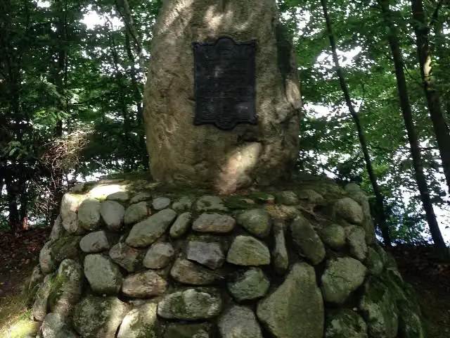
Lützow-Jahn-Denkmal
67.6 kmMemorial
42.1 km · 31 benches
Bike pump
109.8 km8.4 km · bench
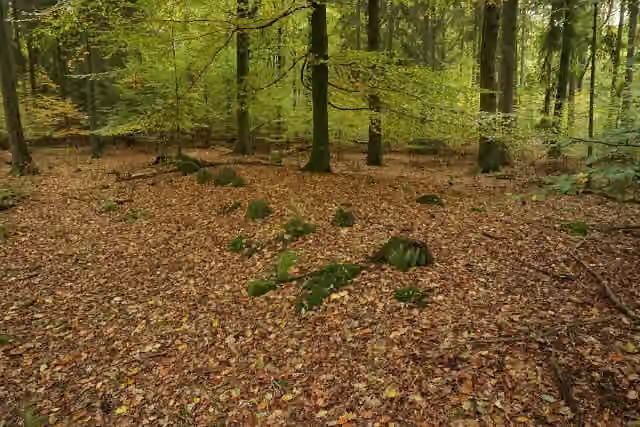
Großsteingrab Sachsenwald Alter Hau 1
118.2 kmArchaeological site
411 m
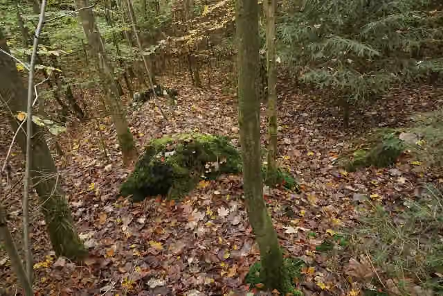
Großsteingrab Sachsenwald Fahrenhorst 1
118.6 kmArchaeological site
474 m
Großsteingrab Sachsenwald Fahrenhorst 3
119.1 kmArchaeological site
310 m
Großsteingrab Sachsenwald Fahrenhorst 2
119.4 kmArchaeological site
8 km · 23 benches
2 public toilets
127.4 km4.1 km · 18 benches
Finish
131.5 km
Longest stretch without a toilet: 61.6 kmBetween 65.8 km and 127.4 km there is no public toilet within 100 m of the route.
The route with the pitstops and sights within 100 m of it.
9 sights along the way
In the order you pass them. With the Outdoor Pitstop app you hear their story on the spot. 1 more along the route are on the map.
i
Photo: Wikitarisch · Wikimedia Commons · CC BY-SA 4.0View the photo on Wikimedia CommonsMemorial · after 60 km
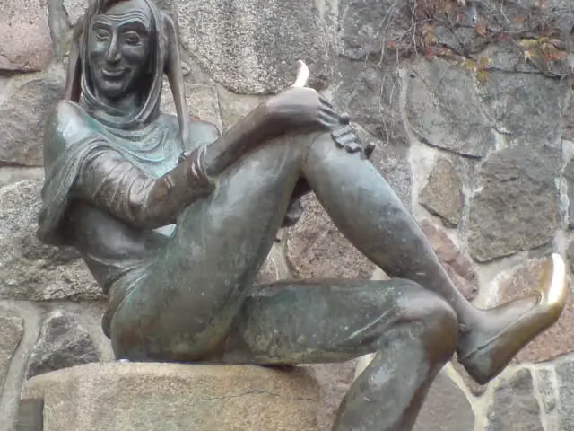
Attraction · after 61.9 km
i
Photo: Clemensfranz · Wikimedia Commons · CC BY-SA 3.0View the photo on Wikimedia CommonsMuseum · after 61.9 km

Observation tower · after 64 km
i
Photo: Kresspahl · Wikimedia Commons · CC BY-SA 4.0View the photo on Wikimedia CommonsMemorial · after 67.6 km
i
Photo: Hauke-stieler · Wikimedia Commons · CC BY-SA 4.0View the photo on Wikimedia CommonsArchaeological site · after 118.2 km
i
Photo: Hauke-stieler · Wikimedia Commons · CC BY-SA 4.0View the photo on Wikimedia CommonsArchaeological site · after 118.6 km
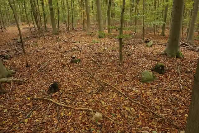
i
Photo: Hauke-stieler · Wikimedia Commons · CC BY-SA 4.0View the photo on Wikimedia CommonsArchaeological site · after 119.1 km
Elevation and terrain
- Up
- ↑ 623 m
- Down
- ↓ 634 m
- Highest point
- 80 m
- Lowest point
- 3 m
- 6 stairs
Elevation from Copernicus GLO-30 (European Union and ESA), smoothed.
produced using Copernicus WorldDEM-30 © DLR e.V. 2010-2014 and © Airbus Defence and Space GmbH 2014-2018 provided under COPERNICUS by the European Union and ESA; all rights reserved
Way types
131.5 km in total- Track: 54.1 km
- Path: 43.6 km
- Road: 16.3 km
- Street: 8.6 km
- Footpath: 3.3 km
- Cycleway: 2.5 km
- Busy road: 1.2 km
- Stairs: 6 stairs
- Unknown: 1.3 km
Surfaces
131.5 km in total- Gravel: 44.5 km
- Unpaved: 29.3 km
- Asphalt: 27.6 km
- Paved: 6.8 km
- Natural: 3 km
- Unknown: 20 km
About the walking route Nord Süd Trail, Abschnitt Kücknitz - Bergedorf
Updated on 14 November 2026, with data from OpenStreetMap, the AHN and Copernicus.
Where do you walk?
Nord Süd Trail, Abschnitt Kücknitz - Bergedorf is a walking route of 131.5 km that starts in Lübeck. It does not end where it starts. You start in Kücknitz and finish in Bergedorf. Along the way you pass 1813 Befreiungskriege (after 60 km), Till-Eulenspiegel-Brunnen (after 61.9 km) and Eulenspiegelmuseum (after 61.9 km).
How hard is the route?
You climb 623 m in total and descend 634 m. There are 6 flights of steps along the way. Allow ± 30:15 h, without breaks. The level is hard.
What paths do you walk on?
The longest part is track (54.1 km), path (43.6 km) and road (16.3 km). Of the surface, 44.5 km gravel and 29.3 km unpaved. For 20 km the surface is not known.
Pitstops along the way
Within 100 metres of the route there are 242 benches, 1 water point, 11 public toilets and 2 bike pumps. You can fill your bottle after 27.9 km. The longest stretch without a toilet is 61.6 km. The Outdoor Pitstop app navigates you there.
Part of Nord Süd Trail
Walks nearby
6- Europäischer Fernwanderweg E6, Deutschland, Schleswig-HolsteinHard · From A to B422.8 km
- European Long distance path E1 - part Germany, Schleswig-HolsteinHard · From A to B442.3 km
- Jakobsweg Via Scandinavica, Zubringer von TravemündeHard · From A to B22.9 km
- Nord Süd Trail, Abschnitt Kiel - KücknitzHard · From A to B153.3 km
- Europäischer Fernwanderweg E9, Deutschland, Schleswig-Holstein (Lübeck)Moderate · From A to B11.6 km
- European Long distance path E1 - part Germany, Schleswig-Holstein (alternative route Lübeck)Moderate · From A to B14.5 km
Sights nearby
Within 10 km of the route, best known first.
- 1
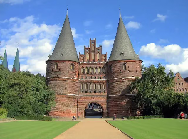 Holsten GateAttraction · 4 km from the route
- 2
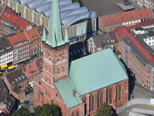 St.-Petri Kultur- und UniversitätskircheAttraction · 3.8 km from the route
- 3
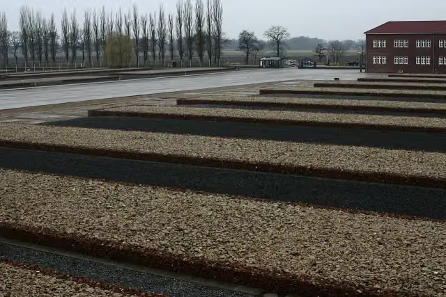 Neuengamme Concentration Camp MemorialMemorial · 7.4 km from the route
- 4
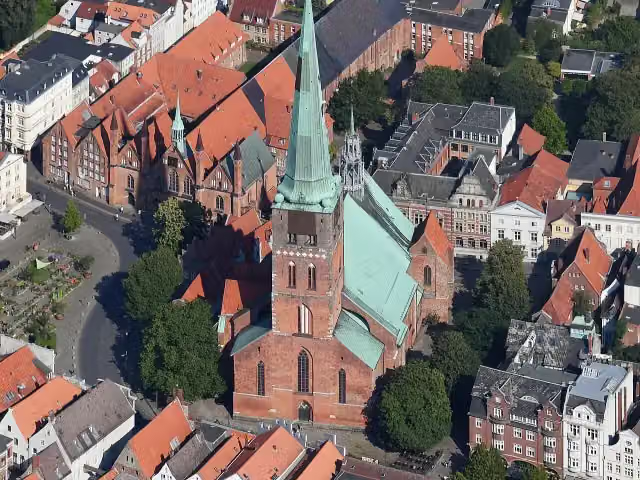 St.-Jakobi-KircheAttraction · 4 km from the route
- 5
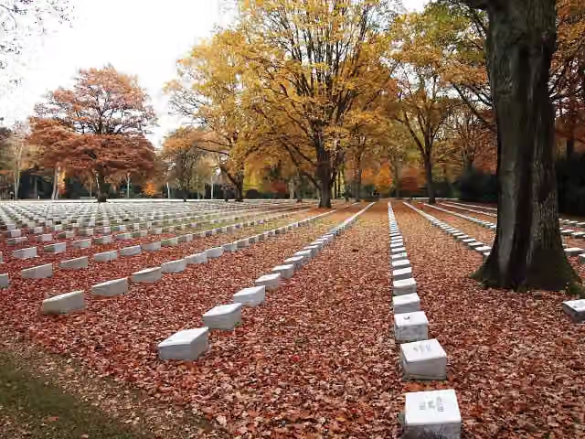 Italian Military CemeteryMemorial · 8.9 km from the route
- 6
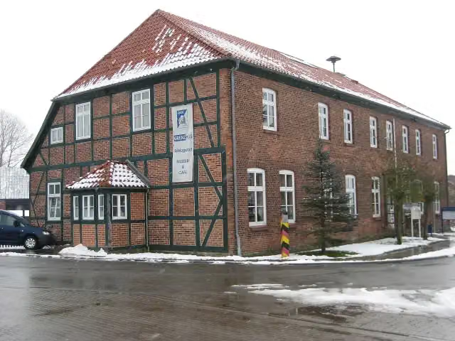 Schlagsdorf Border House MuseumMuseum · 4.9 km from the route
- 7
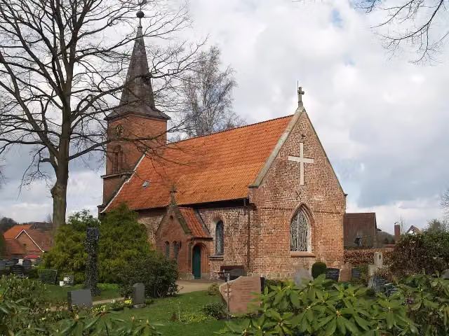 Burg Farchau, MarienhöheArchaeological site · 140 m from the route
- 8
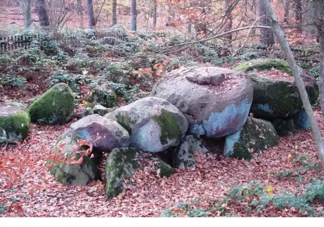 Großsteingrab BlankenseeArchaeological site · 148 m from the route
- 9
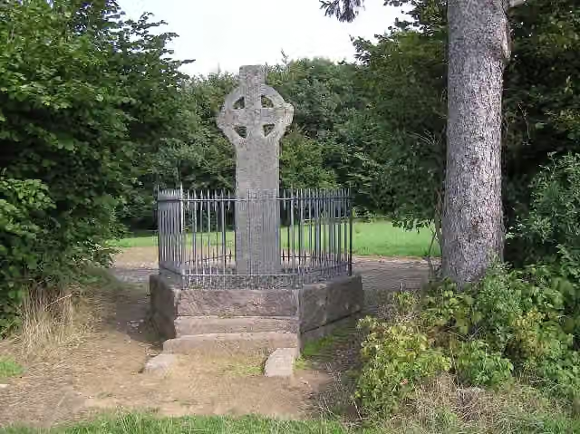 AnsveruskreuzMemorial · 164 m from the route
- 10
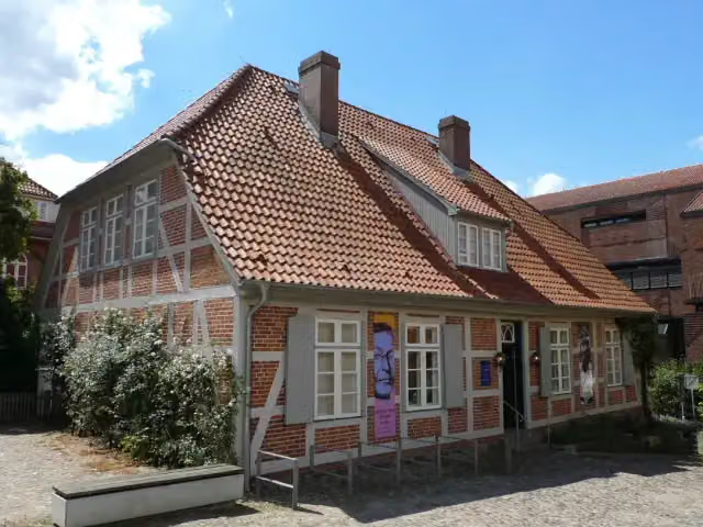 Ernst Barlach MuseumMuseum · 201 m from the route
- 11
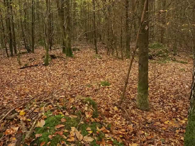 Alter Hau 3Archaeological site · 376 m from the route
- 12
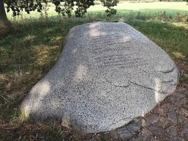 LöwenstadtMemorial · 436 m from the route
- 13
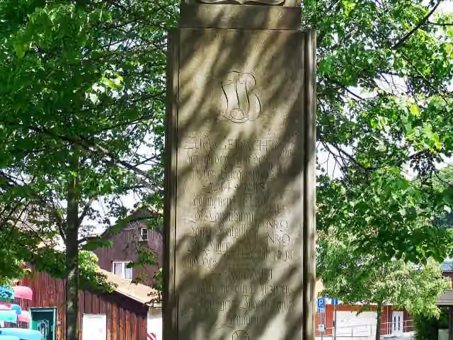 JägerdenkmalMemorial · 531 m from the route
- 14
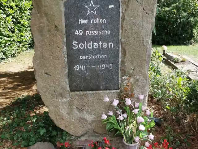 MemorialMemorial · 544 m from the route
- 15
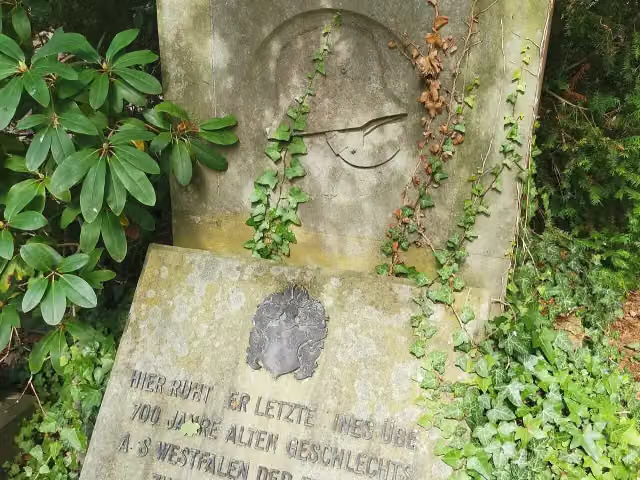 Franz-Joseph von LilienMemorial · 551 m from the route
- 16
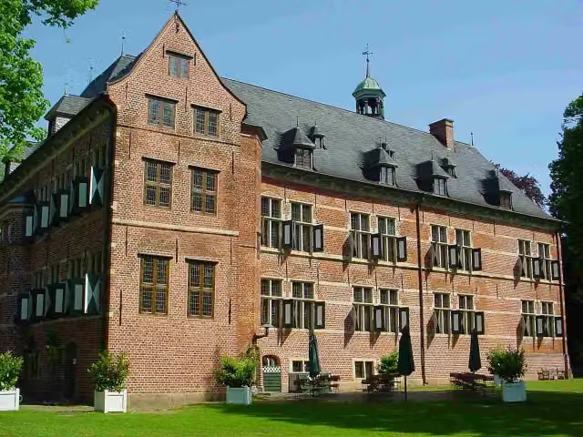 Schloss ReinbekCastle · 557 m from the route
- 17
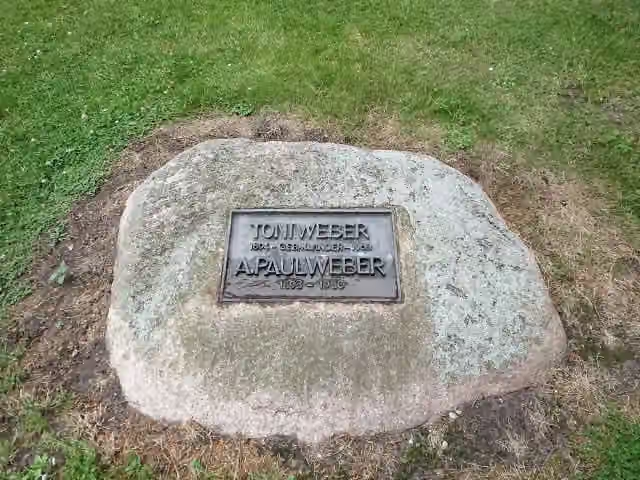 A. Paul Weber MuseumMuseum · 567 m from the route
- 18
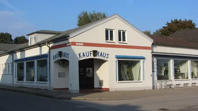 Geschichtswerkstatt HerrenwykMuseum · 580 m from the route
- 19
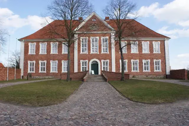 Kreismuseum Herzogtum LauenburgMuseum · 649 m from the route
- 20
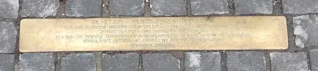 (verschiedene)Memorial · 660 m from the route
- 21
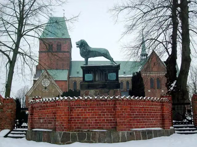 LöwenstatueMemorial · 687 m from the route
- 22
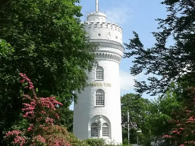 Bismarckturm AumühleViewpoint · 835 m from the route
- 23
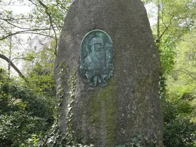 Friedrich Ludwig JahnMemorial · 1.1 km from the route
- 24
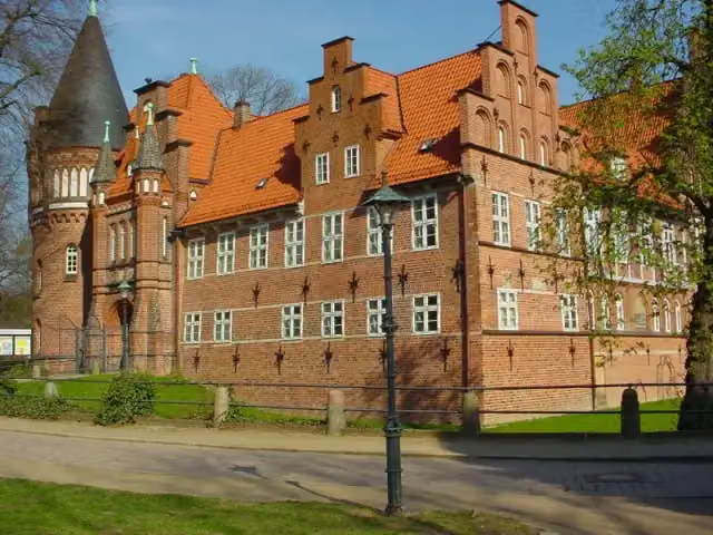 Bergedorfer SchlossMuseum · 1.1 km from the route
- 25
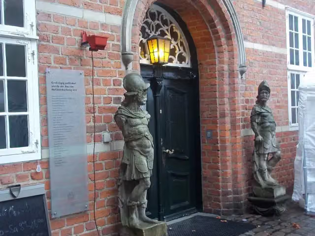 Museum für Bergedorf und die VierlandeMuseum · 1.1 km from the route
Explore more
Frequently asked questions
How long is Nord Süd Trail, Abschnitt Kücknitz - Bergedorf?
Nord Süd Trail, Abschnitt Kücknitz - Bergedorf is 131.5 km long. Allow ± 30:15 h of walking: 4.5 km an hour and 10 minutes more per 100 metres of climbing, without breaks.
Is this route a circular walk?
No, the route runs from Kücknitz to Bergedorf.
Where does this route start?
The route starts in Lübeck.
How hard is this route?
Hard, with 623 m of climbing.
Are there toilets along this route?
Yes, there are 11 public toilets within 100 m of the route. The longest stretch without a toilet is 61.6 km.
Can you fill up with water along this route?
Yes, there are 1 water point within 100 m of the route.
What is there to see along this route?
Along the way you pass 1813 Befreiungskriege, Till-Eulenspiegel-Brunnen and Eulenspiegelmuseum.
Can I download this route as a GPX file?
Yes. Sign in with your Outdoor Pitstop account and choose Download GPX at the top of this page: 10 routes a month for free, unlimited with Pro.
Starting point
More routes from this place
Route data © OpenStreetMap contributors





