 Outdoor Pitstop
Walking route · Oostzaan · Noord-Holland walking network link route 20-30 · Updated on 6 November 2026
WNW Noord-Holland verbindingsroute 20-30 walk
WNW Noord-Holland verbindingsroute 20-30 is a walk of 4.9 km from Oostzaan. Along the way you'll find 3 benches and picnic tables.
The route step by step
From start to finish, with what you pass along the way and the distance in between.
- 4.9 km
- ± 1:05 h
- ↑ 6 m · ↓ 7 m
- Easy
- From A to B
- Local route
Start in Oostzaan
0 km4.9 km · 3 benches
Finish
4.9 km
No public toilet along the wayThere is no public toilet within 100 m of the route. Go before you start, or find one a bit further away in the app.
The route with the pitstops and sights within 100 m of it.
Elevation and terrain
- Up
- ↑ 6 m
- Down
- ↓ 7 m
- Highest point
- 6 m
- Lowest point
- -1 m
Nowhere steeper than 5%.
Elevation from AHN (Rijkswaterstaat), smoothed.
Way types
4.9 km in total- Cycleway: 3.6 km
- Footpath: 868 m
- Street: 350 m
- Path: 25 m
Surfaces
4.9 km in total- Asphalt: 3.6 km
- Paved: 425 m
- Gravel: 125 m
- Unknown: 743 m
About the walking route WNW Noord-Holland verbindingsroute 20-30
Updated on 6 November 2026, with data from OpenStreetMap and the AHN.
Where do you walk?
WNW Noord-Holland verbindingsroute 20-30 is a walking route of 4.9 km that starts in Oostzaan. It does not end where it starts.
How hard is the route?
The route is almost flat. You climb 6 m in total and descend 7 m. Allow ± 1:05 h, without breaks. The level is easy.
What paths do you walk on?
The longest part is cycleway (3.6 km), footpath (868 m) and street (350 m). Of the surface, 3.6 km asphalt and 425 m paved. For 743 m the surface is not known.
Pitstops along the way
Within 100 metres of the route there are 3 benches and picnic tables. There is no public toilet within 100 metres of the route. The Outdoor Pitstop app navigates you there.
Walks nearby
6Sights nearby
Within 10 km of the route, best known first.
- 1
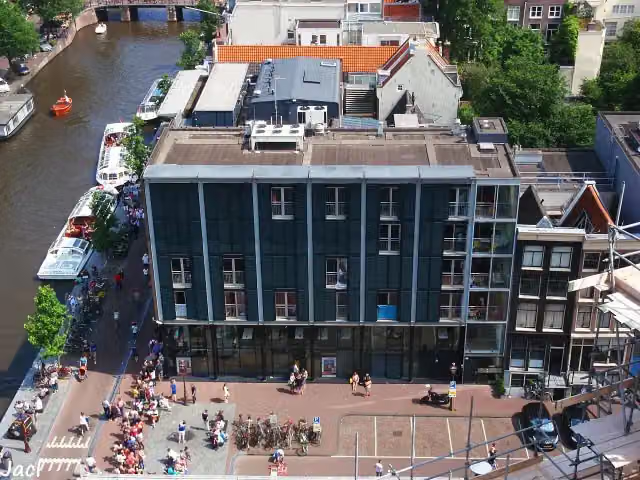 Anne Frank HouseMuseum · 9.5 km from the route
- 2
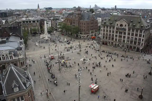 Dam SquareAttraction · 9.7 km from the route
- 3
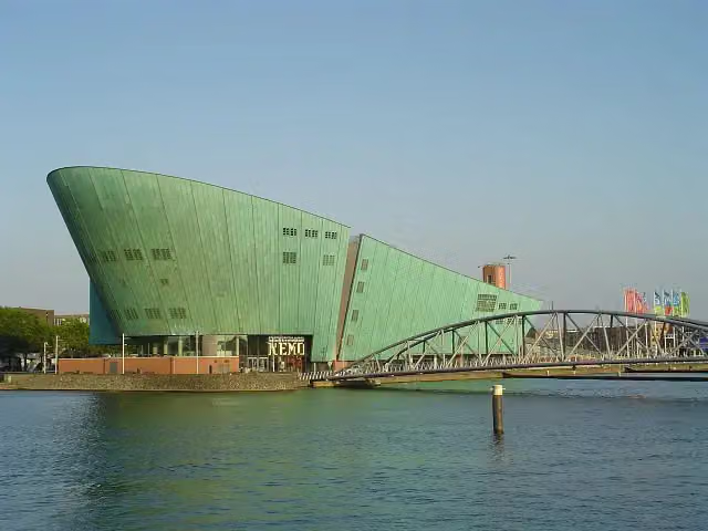 NEMO Science MuseumMuseum · 9.9 km from the route
- 4
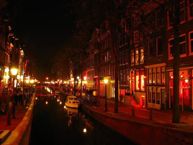 Red Light DistrictAttraction · 9.7 km from the route
- 5
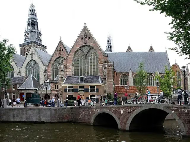 Old ChurchMuseum · 9.6 km from the route
- 6
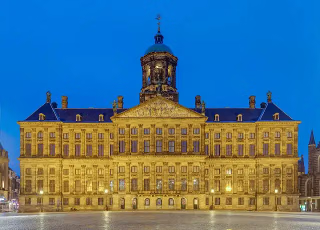 Royal PalaceAttraction · 9.7 km from the route
- 7
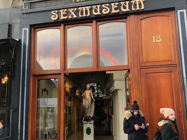 SexmuseumMuseum · 9.4 km from the route
- 8
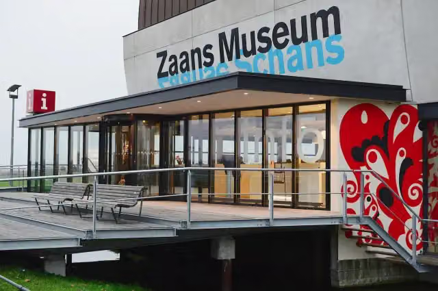 Zaans MuseumMuseum · 1.6 km from the route
- 9
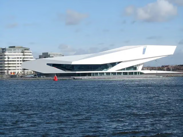 Eye FilmmuseumMuseum · 8.6 km from the route
- 10
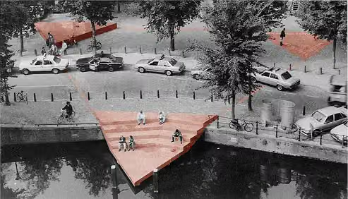 HomomonumentMemorial · 9.5 km from the route
- 11
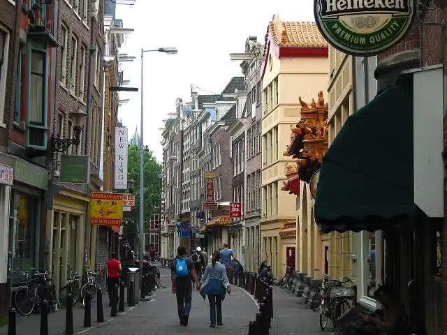 ChinatownAttraction · 9.8 km from the route
- 12
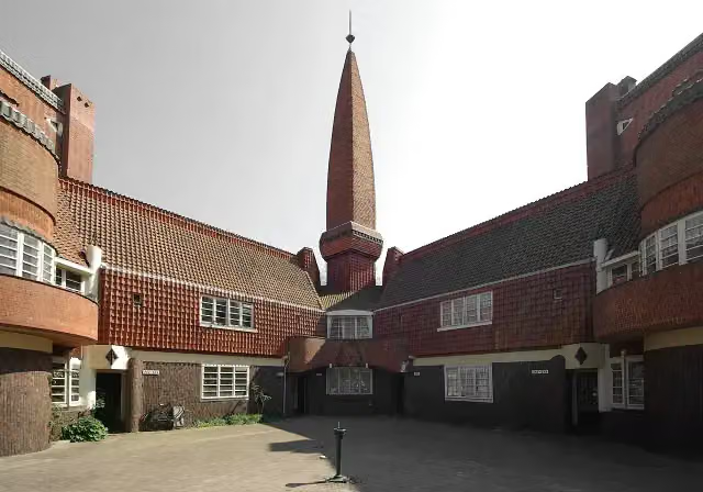 Museum Het SchipMuseum · 7.6 km from the route
- 13
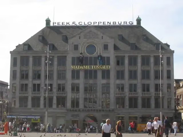 Madame Tussauds AmsterdamMuseum · 9.8 km from the route
- 14
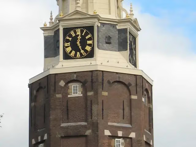 MontelbaanstorenAttraction · 10 km from the route
- 15
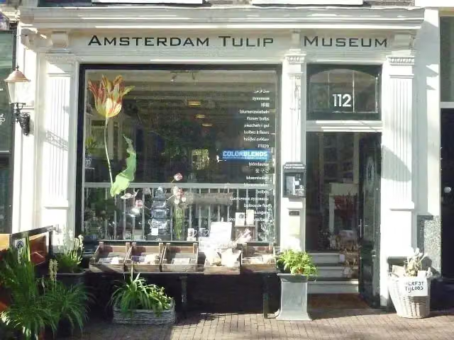 Amsterdam Tulip MuseumMuseum · 9.3 km from the route
- 16
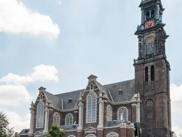 WesterkerkAttraction · 9.5 km from the route
- 17
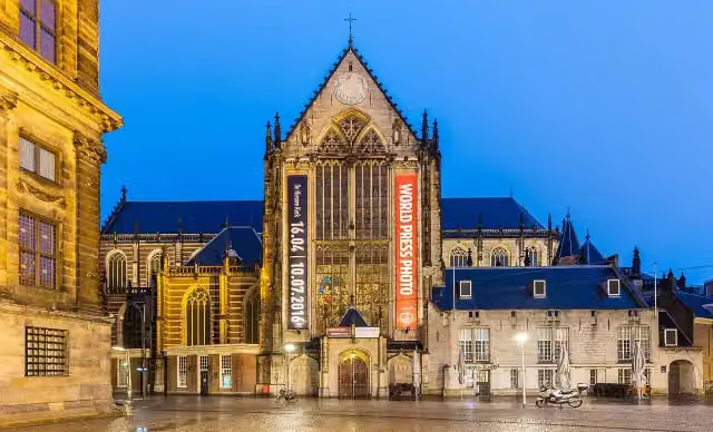 New ChurchMuseum · 9.6 km from the route
- 18
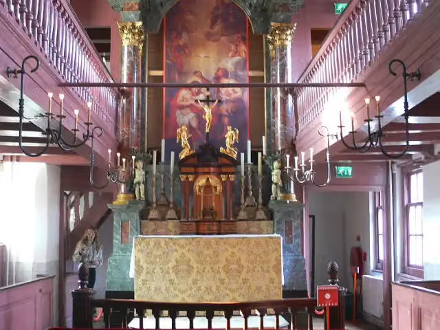 Our Lord in the AtticMuseum · 9.6 km from the route
- 19
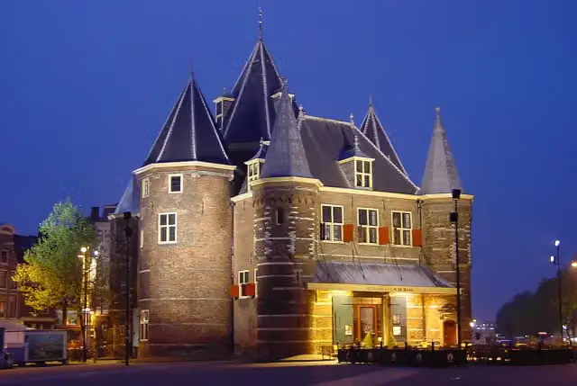 WaagAttraction · 9.8 km from the route
- 20
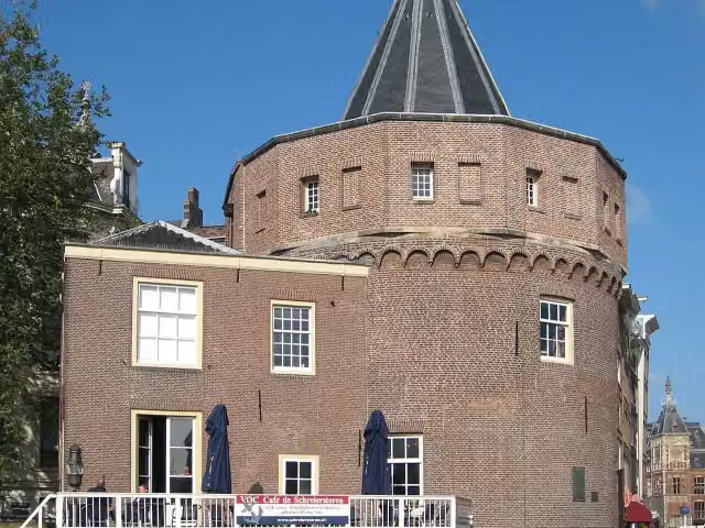 Weepers' TowerAttraction · 9.5 km from the route
- 21
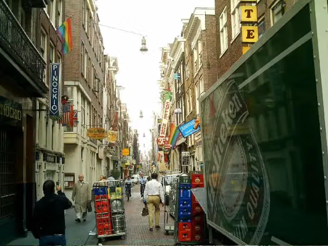 WarmoesstraatAttraction · 9.5 km from the route
- 22
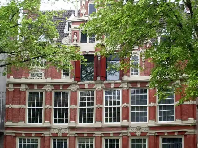 Huis BartolottiMuseum · 9.6 km from the route
- 23
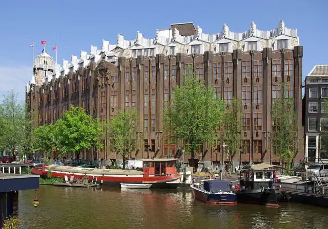 The Shipping HouseAttraction · 9.7 km from the route
- 24
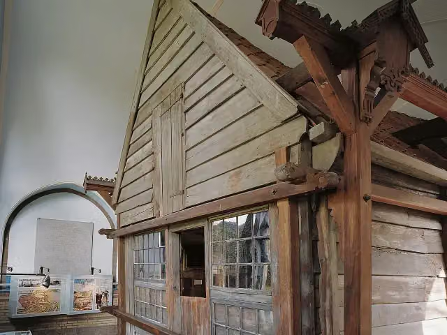 Czar Peter HouseMuseum · 2.6 km from the route
- 25
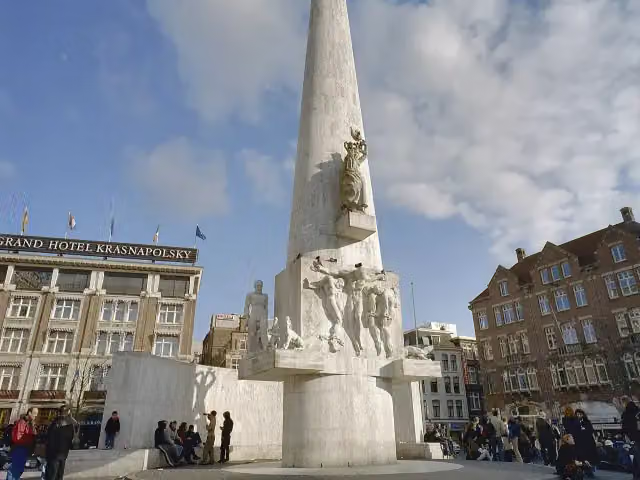 National MonumentMonument · 9.8 km from the route
Explore more
More walks around Oostzaan
Frequently asked questions
How long is WNW Noord-Holland verbindingsroute 20-30?
WNW Noord-Holland verbindingsroute 20-30 is 4.9 km long. Allow ± 1:05 h of walking: 4.5 km an hour and 10 minutes more per 100 metres of climbing, without breaks.
Is this route a circular walk?
No, the route starts and ends at different spots.
Where does this route start?
The route starts in Oostzaan.
How hard is this route?
Easy, with 6 m of climbing.
Are there toilets along this route?
No, there is no public toilet within 100 m of the route. Go before you start.
Can you fill up with water along this route?
No, there is no water point within 100 m of the route. Bring enough water.
Starting point
More routes from this place
Route data © OpenStreetMap contributors





