 Outdoor Pitstop
Cycle route · Maastricht · Updated on 5 November 2026
LF Maasroute cycle route
LF Maasroute is a cycle route of 474.6 km from Maastricht. Along the way: 983 benches and picnic tables, 26 water fountains and refill points, 24 public toilets, 1 bike pump and 1 food stand.
i
i
i
The route step by step
From start to finish, with what you pass along the way and the distance in between.
- 474.6 km
- ± 3:30 h per stage
- Moderate per stage
- From A to B
- National route
- Colour of the signs
Start in Maastricht
0 km1.8 km · 6 benches
Public toilet
1.8 km1.5 km · 5 benches
Water point
3.2 km459 m · 3 benches

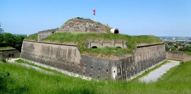
Fort Sint Pieter
3.7 km2 public toilets
2.1 km · 21 benches
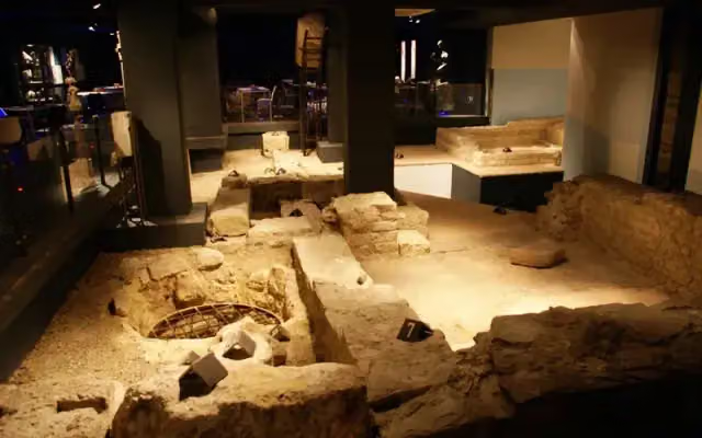
Museumkelder Derlon
5.8 kmWater point
397 m · 7 benches
Water point
6.2 km848 m · 6 benches
Public toilet
7 km5.6 km · 5 benches
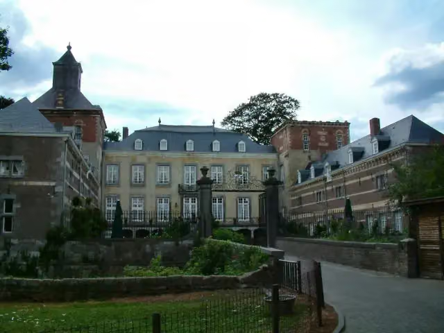
Kasteel Borgharen
12.6 kmCastle · Audio story · 2 min
22.3 km · 21 benches
Water point
34.9 km1.9 km · 3 benches
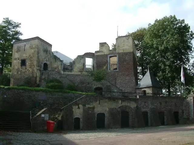
Kasteel Obbicht
36.8 kmCastle
2.8 km · 9 benches
Water point
39.6 km13 km · 18 benches
2 public toilets
52.6 km6.7 km · 7 benches
Water point
59.3 km23 km · 34 benches
Water point
82.3 km18.6 km · 18 benches
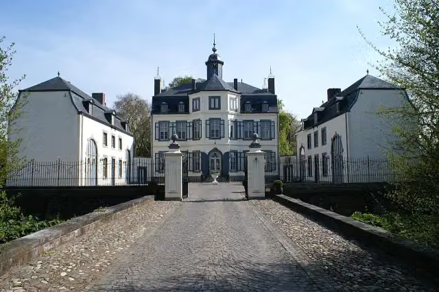
Kasteel Keverberg
100.9 kmCastle
3.7 km · 10 benches
Food stand
104.6 km2.8 km · 7 benches
Kasteel D'Erp
107.4 kmCastle
2.3 km · 20 benches
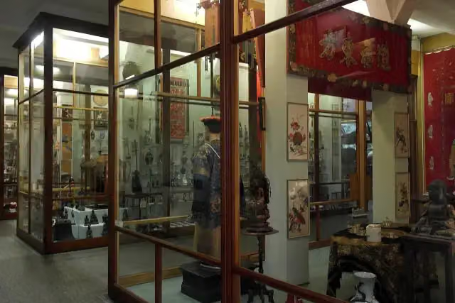
Missiemuseum Steyl
109.8 kmMuseum
24.7 km · 77 benches
Public toilet
134.4 km284 m · 3 benches
2 public toilets
134.7 km21.9 km · 48 benches
Water point
156.6 km15.5 km · 23 benches
Water point
172.1 km7.7 km · 6 benches
Public toilet and water point
179.8 km860 m · 3 benches
Water point
180.7 km14.2 km · 25 benches
Public toilet
194.9 km9.8 km · 10 benches
Water point
204.7 km21.3 km · 35 benches
Gevangentoren
226 kmAttraction
483 m · bench
Water point
226.5 km13.7 km · 14 benches
De Oijense Wachter
240.1 kmObservation tower
6.4 km · 4 benches
Water point
246.5 km
Show the other 37 steps
35.2 km · 28 benches
Kasteel Nederhemert
281.7 kmCastle
10 km · 6 benches
Water point
291.7 km6.6 km
Water point
298.3 km297 m
Public toilet
298.6 km13.5 km · 33 benches
Werk aan de Bakkerskil
312.2 kmFort
22.7 km · 13 benches
Biesbosch MuseumEiland
334.8 kmPublic toilet
9.6 km · 15 benches
Public toilet
344.4 km3.3 km · 43 benches
Groothoofdspoort
347.7 kmAttraction · Audio story · 2 min
177 m · 2 benches
Water point
347.8 km266 m
Schroevendok Straatman and 1 more
348.1 kmDirk IV Graaf van Holland
186 m · 7 benches
Public toilet
348.3 km396 m
Gebroeders de Witt
348.7 kmMemorial
192 m · bench
Water point
348.9 km15.6 km · 32 benches
Korenmolen De Lelie
364.5 kmAttraction
649 m · bench
Water point
365.1 km1.2 km · 6 benches
Public toilet
366.3 km3.3 km
2 public toilets
369.7 km981 m · bench
Water point
370.7 km4.1 km · 9 benches
Oude Maasheuvel
374.7 kmViewpoint
21.5 km · 31 benches
Water point
396.2 km6.4 km · 9 benches
Public toilet and water point
402.6 km3.7 km · 14 benches
Public toilet
406.2 km579 m · 2 benches
Historisch Museum Den Briel
406.8 kmMuseum
4.8 km · 5 benches
Stenen Baak
411.6 kmAttraction · Audio story · 2 min
5.3 km · 20 benches
Public toilet
417 km34.4 km · 47 benches
Water point and bike pump
451.3 km9.4 km · 32 benches
Museum Vlaardingen and 1 more
460.7 kmZeillogger V92 Balder
5.8 km · 24 benches
Zakkendragershuisje
466.5 kmAttraction
259 m · 2 benches
Stedelijk Museum Schiedam and 1 more
466.8 kmThe Distilleries Museum
308 m · 3 benches
Public toilet
467.1 km5.7 km · 58 benches
Euromast
472.7 kmAttraction · Audio story · 2 min
322 m · 17 benches
Herdenking strijd & verzet 1940-1945
473.1 kmWater point
398 m · 20 benches
Wilhelmina
473.5 kmMemorial
202 m · 16 benches
Water point
473.7 km334 m · 9 benches
Belasting & Douane Museum
474 kmPublic toilet
267 m · 13 benches
Calandmonument and 1 more
474.3 kmWereldmuseum Rotterdam
330 m · 15 benches
Finish
474.6 kmAt the finish: public toilet and water point.
Longest stretch without a toilet: 103.7 kmBetween 194.9 km and 298.6 km there is no public toilet within 100 m of the route.
The route with the water points, toilets and sights within 100 m of it.
31 sights along the way
In the order you pass them. With the Outdoor Pitstop app you hear their story on the spot. 23 more along the route are on the map.
Fort Sint Pieter
Attraction · after 3.8 km
Museumkelder Derlon
Museum · after 5.8 km
- Audio story · 2 min
i
Photo: Pivos at Dutch Wikipedia · Wikimedia Commons · CC BY-SA 3.0View the photo on Wikimedia CommonsKasteel Borgharen
Castle · after 12.6 km
Kasteel Obbicht
Castle · after 36.8 km
 Story
i
Photo: Pivos at Dutch Wikipedia (Original text: Pivos) · Wikimedia Commons · CC BY-SA 3.0View the photo on Wikimedia CommonsKasteel Keverberg
Castle · after 100.9 km
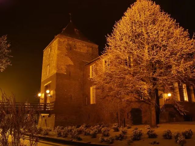 Story
Kasteel D'Erp
Castle · after 107.4 km
Missiemuseum Steyl
Museum · after 109.8 km
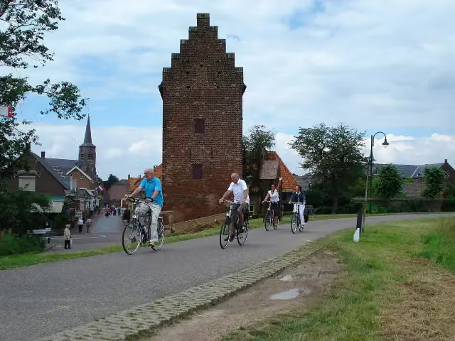
Attraction · after 226 km
Stages (9)
Elevation and terrain
Way types
474.6 km in total- Road: 206.3 km
- Cycle path: 193.6 km
- Street: 36.3 km
- Track: 15.3 km
- Footpath (walk your bike): 1.8 km
- Path: 1.7 km
- Busy road: 975 m
- Unknown: 17.4 km
Surfaces
474.6 km in total- Asphalt: 383.6 km
- Paved: 52.4 km
- Gravel: 16.9 km
- Unpaved: 50 m
- Unknown: 20.3 km
About the cycle route LF Maasroute
Updated on 5 November 2026, with data from OpenStreetMap and the AHN.
Where do you cycle?
LF Maasroute is a cycle route of 474.6 km that starts in Maastricht. It does not end where it starts. You start in Maastricht and finish in Rotterdam. Along the way you pass Fort Sint Pieter (after 3.8 km), Museumkelder Derlon (after 5.8 km) and Kasteel Borgharen (after 12.6 km).
How hard is the route?
Allow ± 3:30 h per stage, without breaks. The level is moderate per stage.
What roads do you cycle on?
The longest part is road (206.3 km), cycle path (193.6 km) and street (36.3 km). Of the surface, 383.6 km asphalt and 52.4 km paved. For 20.3 km the surface is not known.
Pitstops along the way
Within 100 metres of the route there are 983 benches and picnic tables, 26 water fountains and refill points, 24 public toilets, 1 bike pump and 1 food stand. The longest stretch without a toilet is 103.7 km. The Outdoor Pitstop app navigates you there.
The LF Maasroute is a long-distance cycle route of almost 475 km from Maastricht via Hoek van Holland to Rotterdam, in nine stages. It was the first LF 'icon route' and forms the Dutch part of EuroVelo 19, the Meuse Cycle Route that follows the river from source to mouth. You pass Fort Sint Pieter, ride through Roermond and Venlo, past the Arcen castle gardens and through Grave to the Biesbosch MuseumEiland, Dordrecht and Brielle. It is signposted in both directions. More than four fifths is asphalt. We know of 24 toilets, 26 water taps and one bike pump along the way.
Source: Wikipedia (CC BY-SA)
Part of EuroVelo 19 - Maasfietsroute
Website of the routeCycle routes nearby
5Sights nearby
Within 10 km of the route, best known first.
- 1
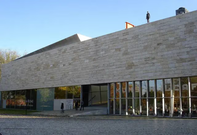 KunstHALMuseum · 399 m from the route
- 2
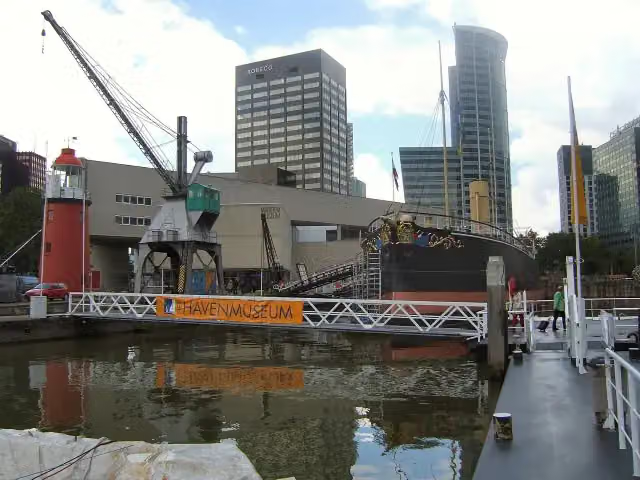 Maritime MuseumMuseum · 903 m from the route
- 3
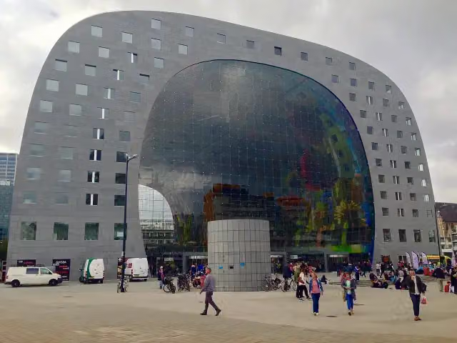 Market HallAttraction · 1.2 km from the route
- 4
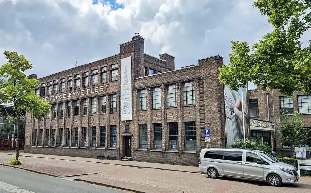 Royal DelftMuseum · 8.5 km from the route
- 5
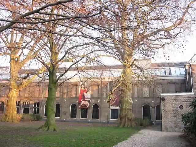 Dordrechts MuseumMuseum · 320 m from the route
- 6
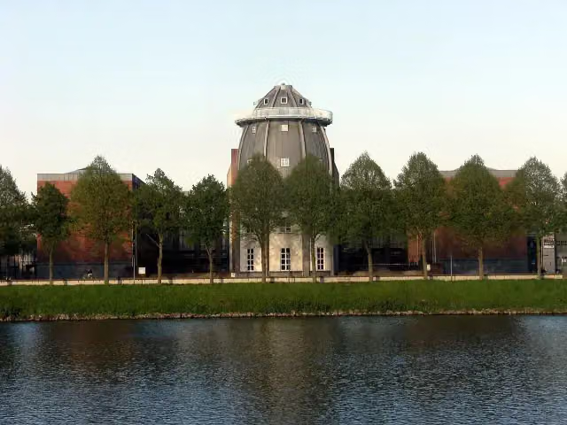 BonnefantenmuseumMuseum · 338 m from the route
- 7
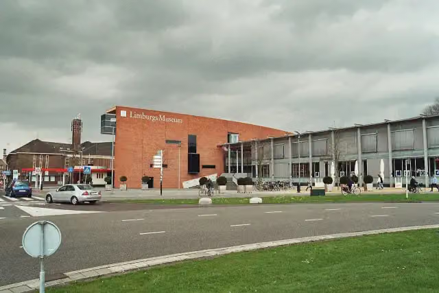 Limburgs MuseumMuseum · 539 m from the route
- 8
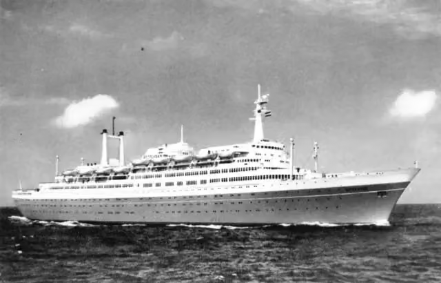 SS RotterdamAttraction · 630 m from the route
- 9
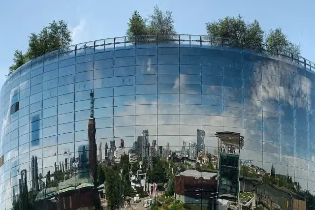 Depot Boijmans Van BeuningenMuseum · 728 m from the route
- 10
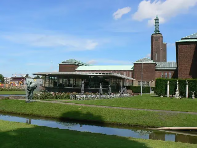 Museum Boijmans Van BeuningenMuseum · 737 m from the route
- 11
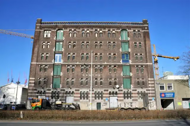 Nederlands FotomuseumMuseum · 1.1 km from the route
- 12
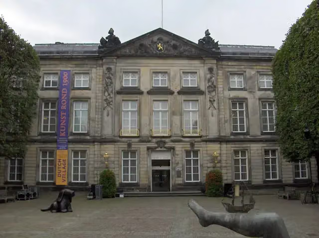 Het Noordbrabants MuseumMuseum · 5.6 km from the route
- 13
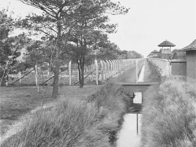 Concentration Camp MuseumMuseum · 7.1 km from the route
- 14
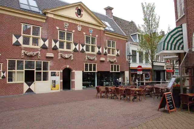 Vermeer CentrumMuseum · 9.7 km from the route
- 15
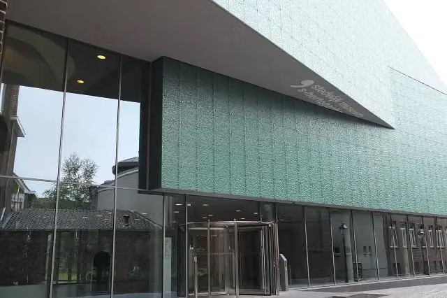 Design Museum Den BoschMuseum · 5.7 km from the route
- 16
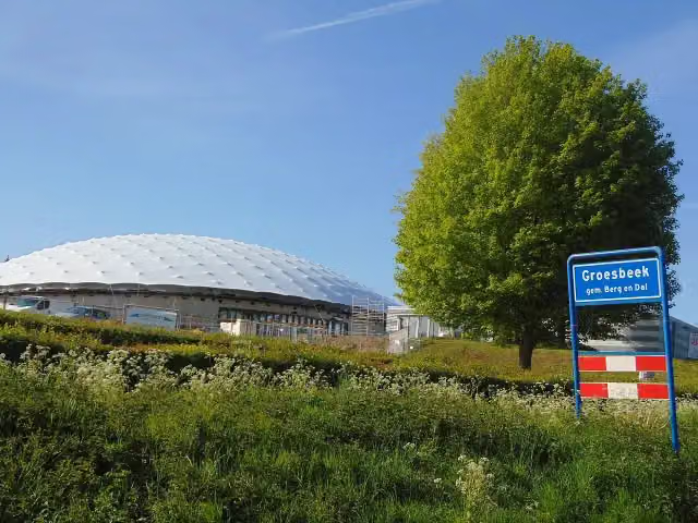 Freedom MuseumMuseum · 5.8 km from the route
- 17
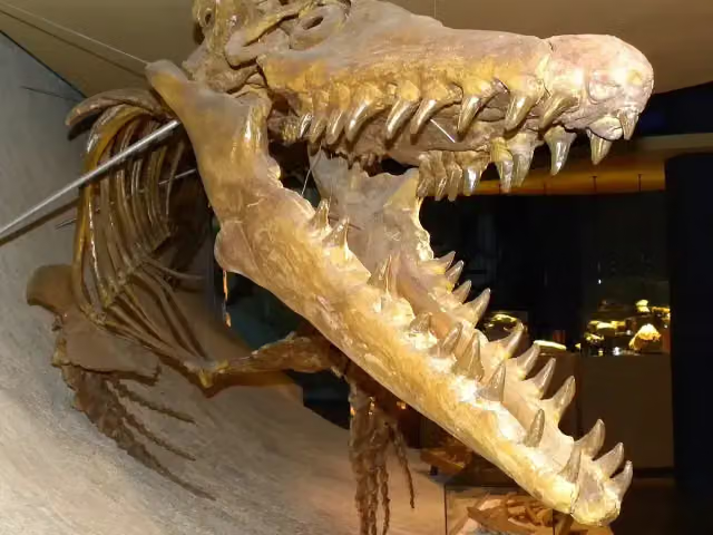 Natuurhistorisch Museum MaastrichtMuseum · 155 m from the route
- 18
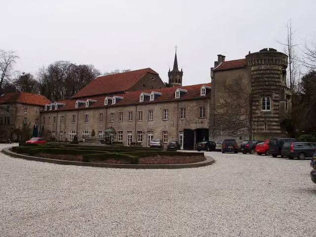 Kasteel ElslooCastle · 157 m from the route
- 19
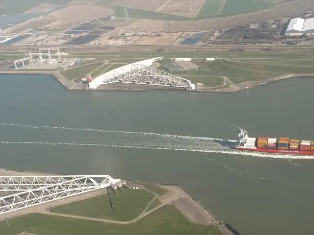 Maeslant BarrierAttraction · 385 m from the route
- 20
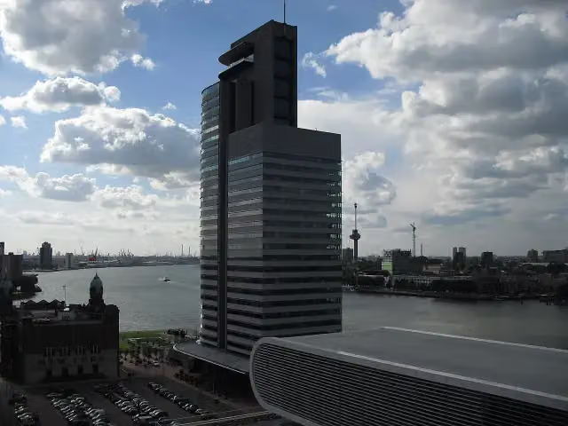 World Port CenterAttraction · 420 m from the route
- 21
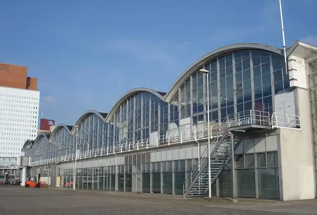 Rotterdam Cruise TerminalAttraction · 466 m from the route
- 22
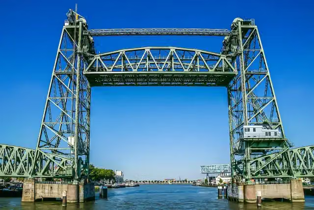 De HefAttraction · 1.2 km from the route
- 23
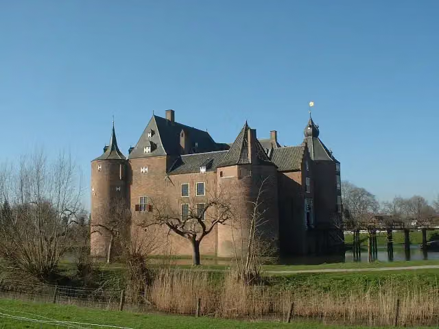 Ammersoyen CastleAttraction · 1.3 km from the route
- 24
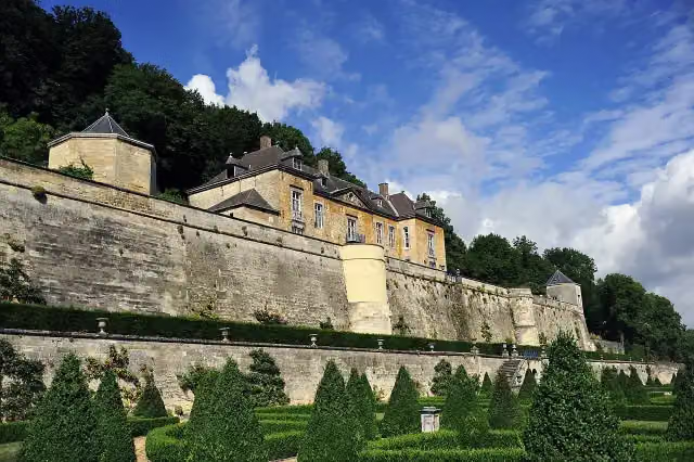 Château NeercanneCastle · 1.6 km from the route
- 25
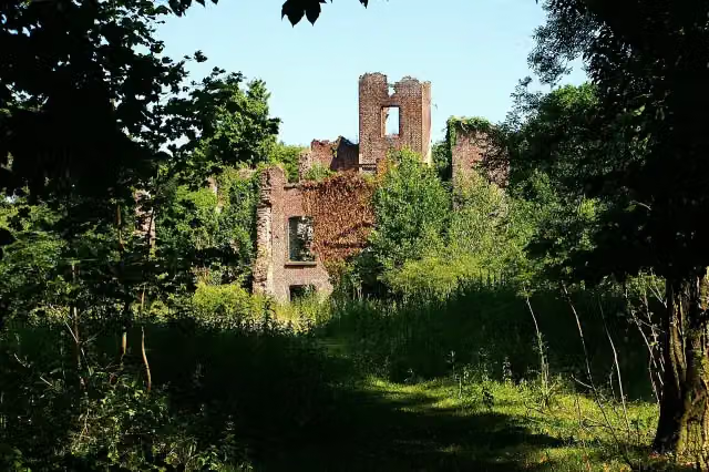 Kasteel BleijenbeekCastle · 3.2 km from the route
Explore more
More cycle routes around Maastricht
Frequently asked questions
How long is LF Maasroute?
LF Maasroute is 474.6 km long, in 9 stages of 52.7 km on average. Allow ± 3:30 h per stage of riding: 15 km an hour, without breaks.
Is this route a circular ride?
No, the route runs from Maastricht to Rotterdam.
Where does this route start?
The route starts in Maastricht.
How hard is this route?
Moderate per stage.
Are there toilets along this route?
Yes, there are 24 public toilets within 100 m of the route. The longest stretch without a toilet is 103.7 km.
Can you fill up with water along this route?
Yes, there are 26 water fountains and refill points within 100 m of the route.
What is there to see along this route?
Along the way you pass Fort Sint Pieter, Museumkelder Derlon and Kasteel Borgharen.
Start place
More routes from this place
Route data © OpenStreetMap contributors





