 Outdoor Pitstop
Cycle route · Maasgouw · Updated on 6 November 2026
LF Maasroute - 03 - Ohé en Laak - Venlo cycle route
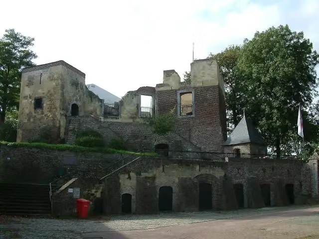
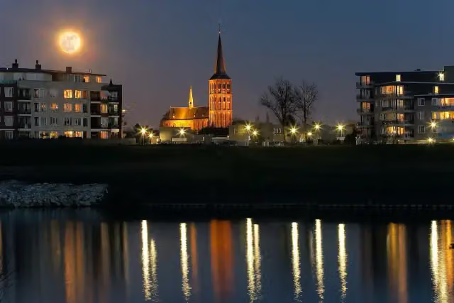
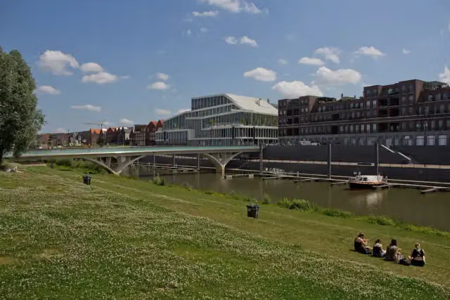
LF Maasroute - 03 - Ohé en Laak - Venlo is a cycle route of 62.9 km from Maasgouw. Along the way you'll find 119 benches and picnic tables, 2 water fountains and refill points, 2 public toilets and 1 food stand.
i
i
i
The route step by step
From start to finish, with what you pass along the way and the distance in between.
- 62.9 km
- ± 4:10 h
- ↑ 47 m · ↓ 55 m
- Hard
- From A to B
- National route
- Colour of the signs
Start in Maasgouw
0 km219 m
2 public toilets
219 m6.7 km · 7 benches
Water point
6.9 km23 km · 34 benches
Water point
29.9 km18.6 km · 18 benches

Kasteel Keverberg
48.5 kmCastle
3.7 km · 10 benches
Food stand
52.3 km2.8 km · 7 benches
Kasteel D'Erp
55.1 kmCastle
2.3 km · 20 benches
Missiemuseum Steyl
57.4 kmMuseum
5.5 km · 23 benches
Finish
62.9 km
Longest stretch without a toilet: 62.6 kmBetween 278 m and 62.9 km there is no public toilet within 100 m of the route.
The route with the pitstops and sights within 100 m of it.
3 sights along the way
In the order you pass them. With the Outdoor Pitstop app you hear their story on the spot.
- Story
i
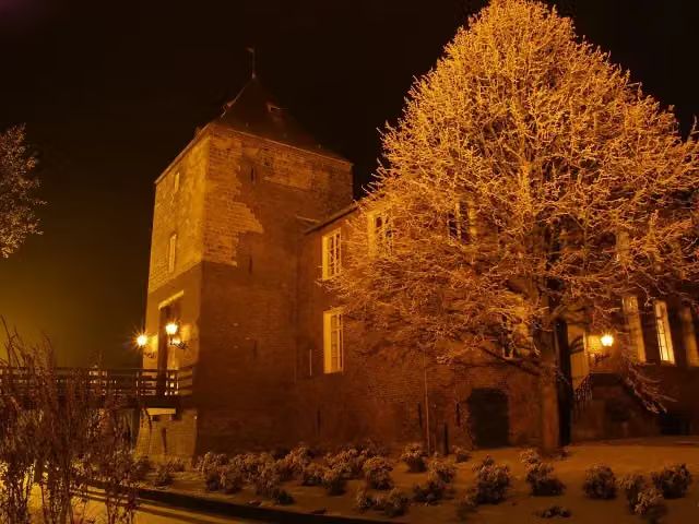
Photo: Pivos at Dutch Wikipedia (Original text: Pivos) · Wikimedia Commons · CC BY-SA 3.0View the photo on Wikimedia CommonsKasteel Keverberg
Castle · after 48.5 km
 Story
Kasteel D'Erp
Castle · after 55.1 km
Missiemuseum Steyl
Museum · after 57.4 km
Elevation and terrain
- Up
- ↑ 47 m
- Down
- ↓ 55 m
- Highest point
- 30 m
- Lowest point
- 12 m
Nowhere steeper than 5%.
Elevation from AHN (Rijkswaterstaat), smoothed.
Way types
62.9 km in total- Road: 37.4 km
- Cycle path: 13.8 km
- Street: 6.4 km
- Track: 4.3 km
- Path: 625 m
- Unknown: 225 m
Surfaces
62.9 km in total- Asphalt: 50.3 km
- Paved: 6.6 km
- Gravel: 5.6 km
- Unknown: 225 m
About the cycle route LF Maasroute - 03 - Ohé en Laak - Venlo
Updated on 6 November 2026, with data from OpenStreetMap and the AHN.
Where do you cycle?
LF Maasroute - 03 - Ohé en Laak - Venlo is a cycle route of 62.9 km that starts in Maasgouw. It does not end where it starts. You start in Ohé en Laak and finish in Venlo. Along the way you pass Kasteel Keverberg (after 48.5 km), Kasteel D'Erp (after 55.1 km) and Missiemuseum Steyl (after 57.4 km).
How hard is the route?
You climb 47 m in total and descend 55 m. Allow ± 4:10 h, without breaks. The level is hard.
What roads do you cycle on?
The longest part is road (37.4 km), cycle path (13.8 km) and street (6.4 km). Of the surface, 50.3 km asphalt and 6.6 km paved. For 225 m the surface is not known.
Pitstops along the way
Within 100 metres of the route there are 119 benches and picnic tables, 2 water fountains and refill points, 2 public toilets and 1 food stand. You can fill your bottle after 6.9 km and after 29.9 km. The longest stretch without a toilet is 62.6 km. The Outdoor Pitstop app navigates you there.
This stage of the LF Maasroute is a cycle route of about 63 km from Ohé en Laak to Venlo, through central and northern Limburg. You follow the Meuse through Stevensweert, Maasbracht and Linne to Roermond, then on through Asselt, Beesel and Kessel, with Kasteel Keverberg, to Baarlo and Kasteel D'Erp. At Steyl you pass the Mission Museum, and through Tegelen you reach Venlo. Four fifths is asphalt. We know of two toilets and two water taps on the way. The full LF Maasroute runs from Maastricht to Rotterdam.
Source: Wikipedia (CC BY-SA)
Part of LF Maasroute
Website of the routeCycle routes nearby
3Sights nearby
Within 10 km of the route, best known first.
- 1
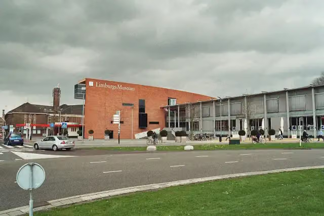 Limburgs MuseumMuseum · 623 m from the route
- 2
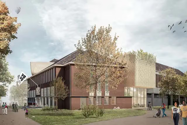 Museum van Bommel van DamMuseum · 553 m from the route
- 3
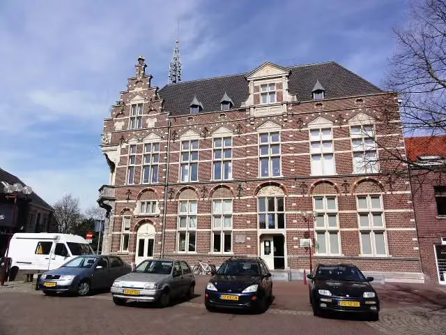 Museum van de VrouwMuseum · 1.3 km from the route
- 4
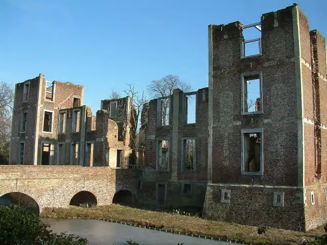 Kasteel BornAttraction · 8.7 km from the route
- 5
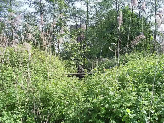 Kasteel MillenCastle · 9.4 km from the route
- 6
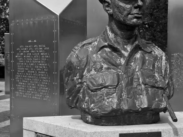 Nationaal Indië MonumentMemorial · 1.5 km from the route
- 7
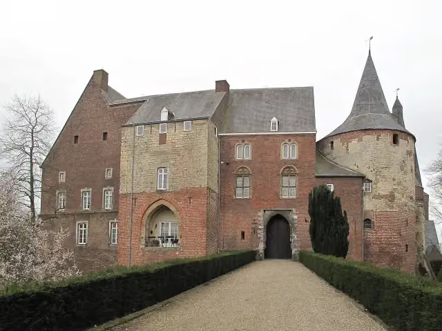 Kasteel HornCastle · 657 m from the route
- 8
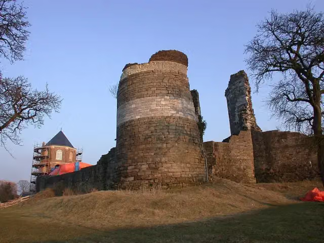 Kasteelruïne MontfortRuins · 3.6 km from the route
- 9
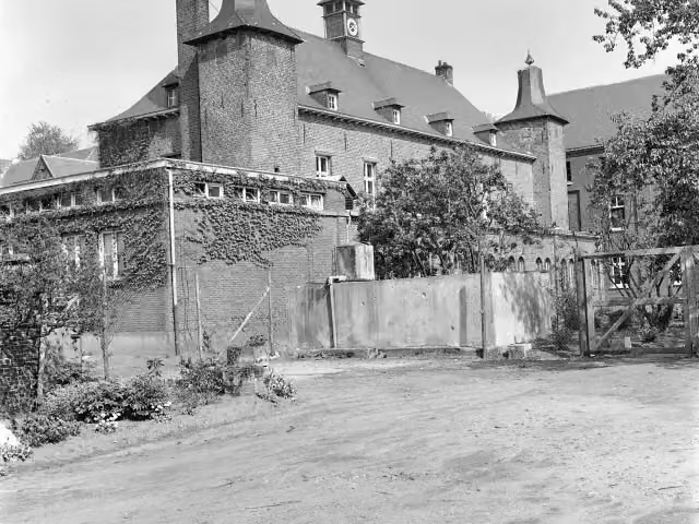 Kasteel ExatenCastle · 4.1 km from the route
- 10
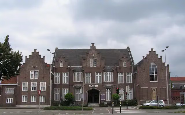 CuypershuisMuseum · 889 m from the route
- 11
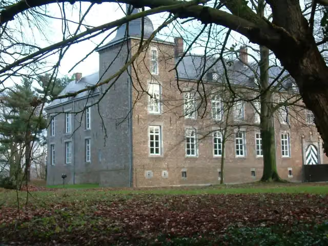 Kasteel WolfrathCastle · 6.7 km from the route
- 12
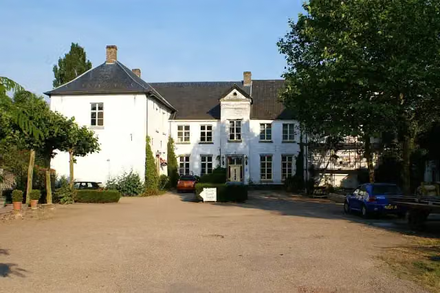 Kasteel BaexemCastle · 4.6 km from the route
- 13
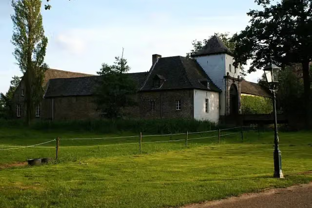 Kasteel DaelenbroeckCastle · 7.5 km from the route
- 14
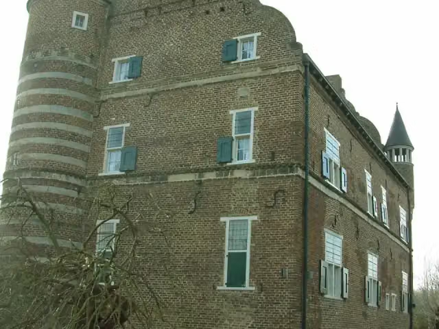 Kasteel GrasbroekCastle · 9.5 km from the route
- 15
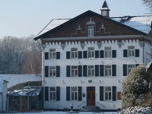 Kasteel De RaayCastle · 1.2 km from the route
- 16
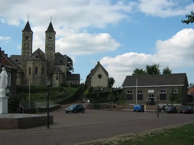 RoerstreekmuseumMuseum · 4.5 km from the route
- 17
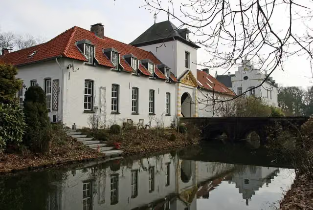 Kasteel NieuwenbroeckCastle · 129 m from the route
- 18
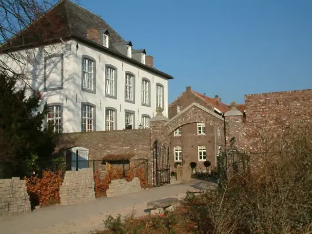 Huize WithamCastle · 8 km from the route
- 19
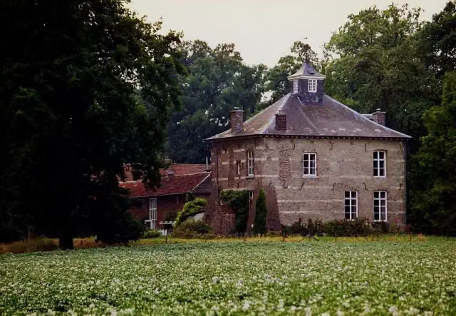 Huis NederhovenCastle · 1.3 km from the route
- 20
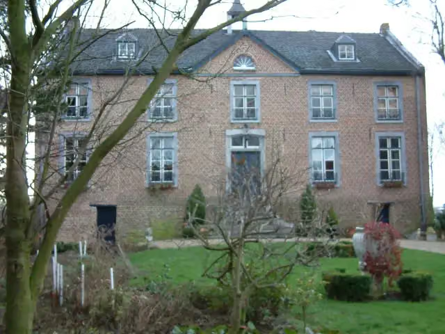 Huize HoltumCastle · 6.4 km from the route
- 21
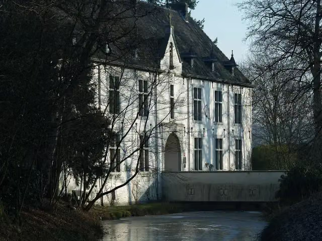 De BercktCastle · 818 m from the route
- 22
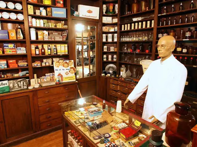 Museum "Terug in de Tijd"Museum · 2.5 km from the route
- 23
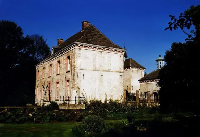 Kasteel Ten HoveCastle · 4.5 km from the route
- 24
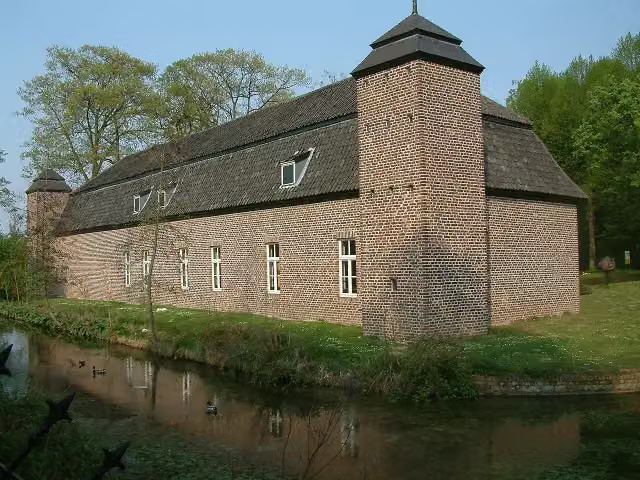 Keramiekcentrum Tiendschuur TegelenMuseum · 1.2 km from the route
- 25
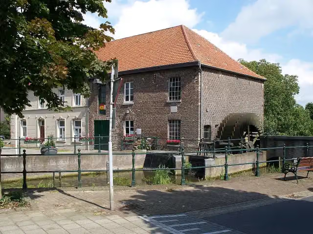 GrathemermolenMuseum · 4.1 km from the route
Explore more
Frequently asked questions
How long is LF Maasroute - 03 - Ohé en Laak - Venlo?
LF Maasroute - 03 - Ohé en Laak - Venlo is 62.9 km long. Allow ± 4:10 h of riding: 15 km an hour, without breaks.
Is this route a circular ride?
No, the route runs from Ohé en Laak to Venlo.
Where does this route start?
The route starts in Maasgouw.
How hard is this route?
Hard, with 47 m of climbing.
Are there toilets along this route?
Yes, there are 2 public toilets within 100 m of the route. The longest stretch without a toilet is 62.6 km.
Can you fill up with water along this route?
Yes, there are 2 water fountains and refill points within 100 m of the route.
What is there to see along this route?
Along the way you pass Kasteel Keverberg, Kasteel D'Erp and Missiemuseum Steyl.
Starting point
More routes from this place
Route data © OpenStreetMap contributors





