 Outdoor Pitstop
Cycle route · Maasmechelen · Updated on 5 November 2026
Grünroute cycle route
Grünroute is a cycle route of 119 km from Maasmechelen. Along the way: 191 benches and picnic tables, 8 water fountains and refill points and 2 public toilets.
i
i
i
The route step by step
From start to finish, with what you pass along the way and the distance in between.
- 119 km
- ± 7:55 h
- Hard
- From A to B
- International route
- Colour of the signs
This route is in pieces in OpenStreetMap, so there are no kilometres per pitstop. Along the way: 191 benches and picnic tables, 8 water fountains and refill points and 2 public toilets.
Follow these steps in the appThe route with the pitstops and sights within 100 m of it.
6 sights along the way
In the order you pass them. With the Outdoor Pitstop app you hear their story on the spot.
 Audio story · 2 min
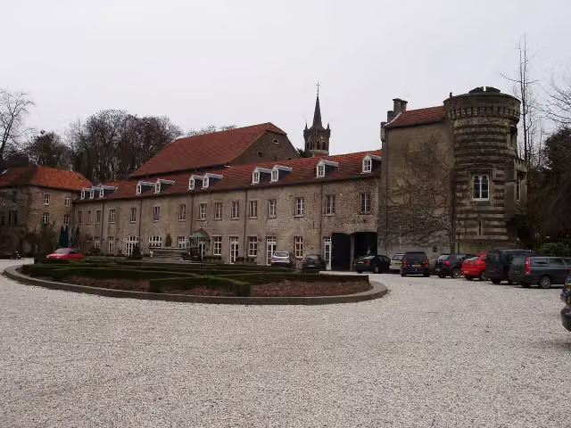
Kasteel Elsloo
Castle
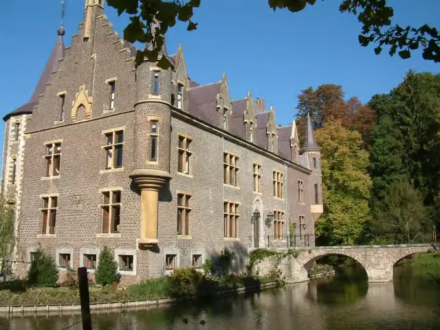 Audio story · 2 min
i
Photo: Pivos at Dutch Wikipedia · Wikimedia Commons · CC BY-SA 3.0View the photo on Wikimedia CommonsKasteel Terworm
Castle
Kasteel Puth
Castle
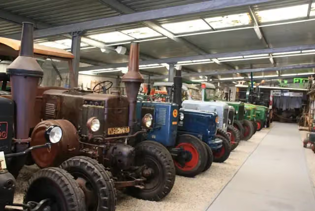
i
Photo: Karl-Heinz Jansen · Wikimedia Commons · CC BY-SA 4.0View the photo on Wikimedia CommonsMuseum
- Audio story · 2 min
i
Photo: The original uploader was Redfish71 at Dutch Wikipedia. · Wikimedia Commons · CC BY-SA 3.0View the photo on Wikimedia Commons 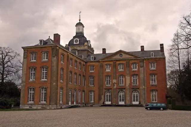 Audio story · 2 min
i
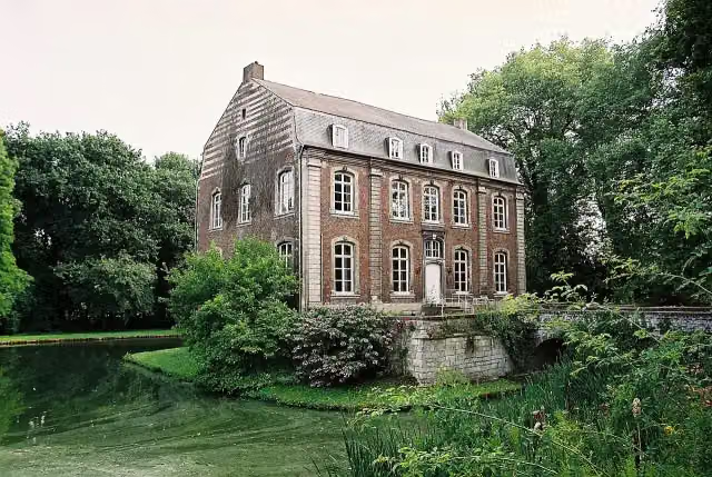
Photo: BK59 · Wikimedia Commons · CC BY-SA 2.0View the photo on Wikimedia CommonsKasteel Amstenrade
Castle
Elevation and terrain
Way types
119 km in total- Road: 50 km
- Cycle path: 30.9 km
- Street: 22.3 km
- Track: 10 km
- Busy road: 3.1 km
- Path: 2.2 km
- Unknown: 50 m
Surfaces
119 km in total- Asphalt: 68 km
- Paved: 18.5 km
- Gravel: 2.3 km
- Unpaved: 485 m
- Unknown: 29.3 km
About the cycle route Grünroute
Updated on 5 November 2026, with data from OpenStreetMap and the AHN.
Where do you cycle?
Grünroute is a cycle route of 119 km that starts in Maasmechelen. It does not end where it starts. You start in Düren and finish in Hasselt.
How hard is the route?
Allow ± 7:55 h, without breaks. The level is hard.
What roads do you cycle on?
The longest part is road (50 km), cycle path (30.9 km) and street (22.3 km). Of the surface, 68 km asphalt and 18.5 km paved. For 29.3 km the surface is not known.
Pitstops along the way
Within 100 metres of the route there are 191 benches and picnic tables, 8 water fountains and refill points and 2 public toilets. The Outdoor Pitstop app navigates you there.
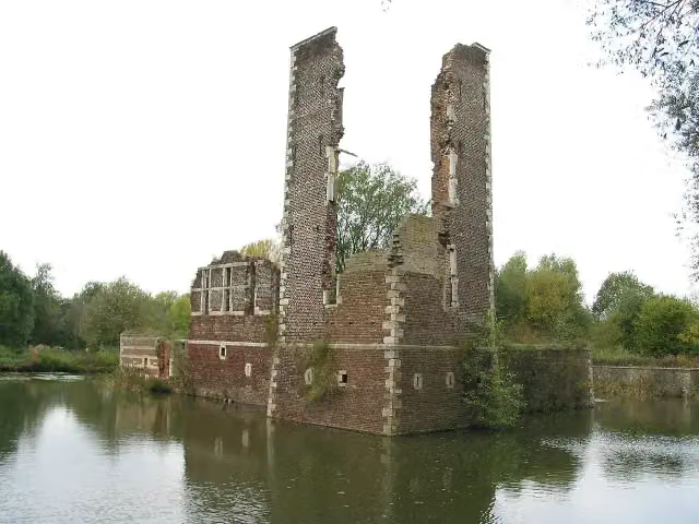
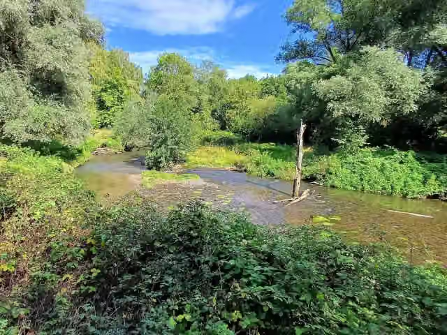
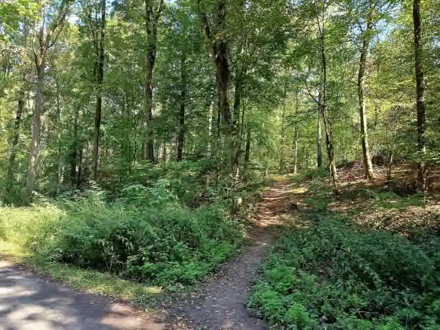
The Grünroute is an international cycle route from Düren in Germany via Parkstad Limburg to Belgian Limburg; in our data it is 119 km long, mainly the section in South Limburg and the border area. The route links nature areas in what was once a major coal-mining region. Among other things you ride across the Brunssummerheide, through the Geleenbeekdal and the Schutterspark, and past castles such as Terworm, Amstenrade, Puth and Elsloo, as well as the ruins of Schaesberg. Nearly three quarters is asphalt or paved. We know of eight water taps and two toilets on the way.
Source: Wikipedia (CC BY-SA)
Cycle routes nearby
2Sights nearby
Within 10 km of the route, best known first.
- 1
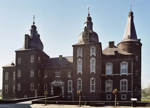 Hoensbroek CastleCastle · 169 m from the route
- 2
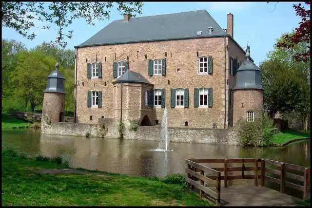 Kasteel ErensteinCastle · 304 m from the route
- 3
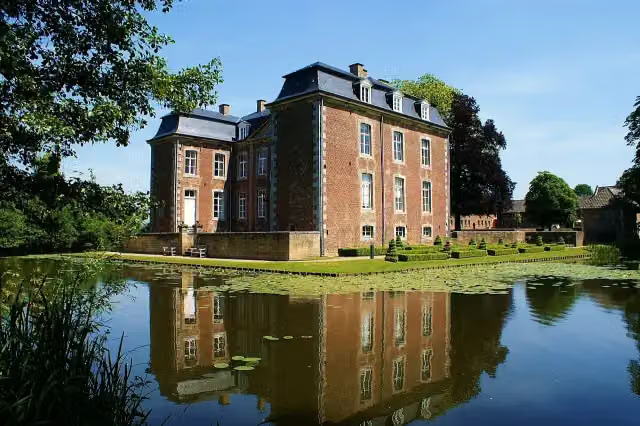 Kasteel CortenbachCastle · 347 m from the route
- 4
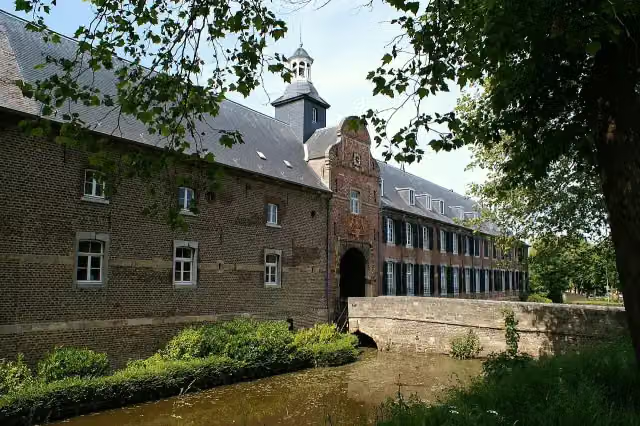 Kasteel WijnandsradeCastle · 2 km from the route
- 5
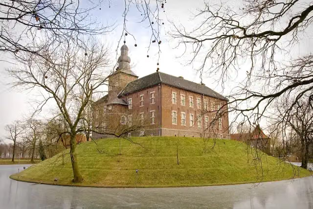 Kasteel LimbrichtCastle · 2.8 km from the route
- 6
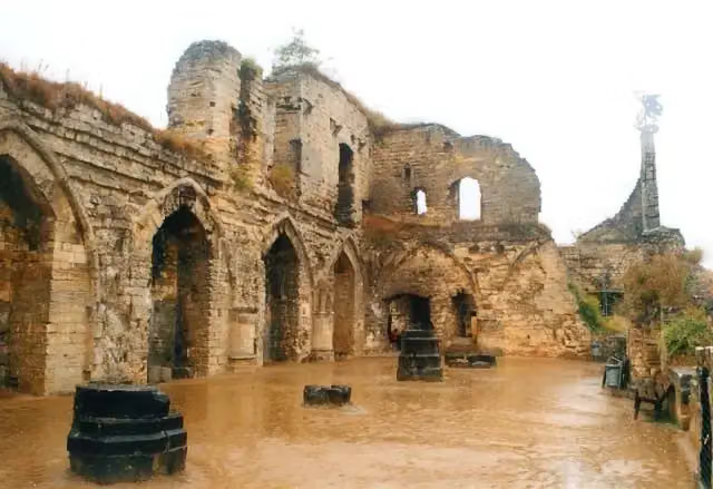 Kasteel ValkenburgAttraction · 7 km from the route
- 7
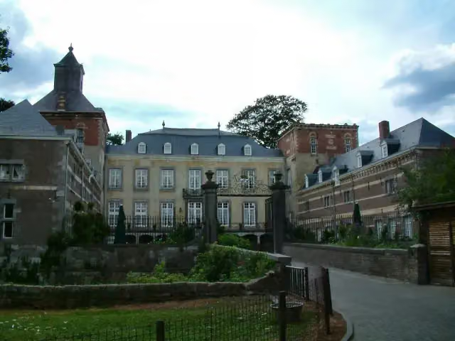 Kasteel BorgharenCastle · 8.8 km from the route
- 8
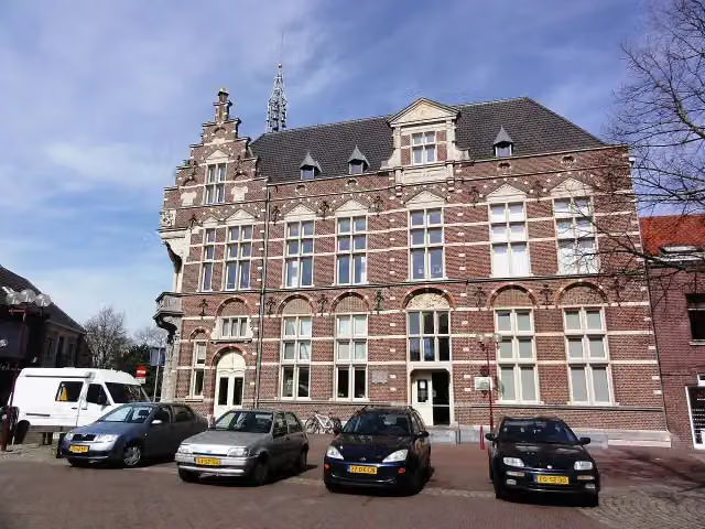 Museum van de VrouwMuseum · 7.1 km from the route
- 9
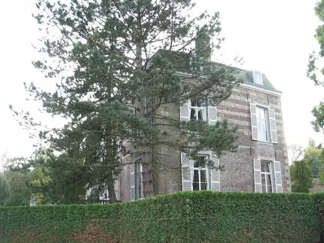 Kasteel StrijthagenCastle · 626 m from the route
- 10
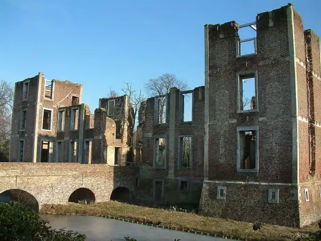 Kasteel BornAttraction · 4.1 km from the route
- 11
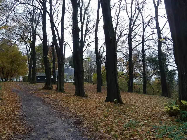 Kluis op de SchaelsbergAttraction · 5.6 km from the route
- 12
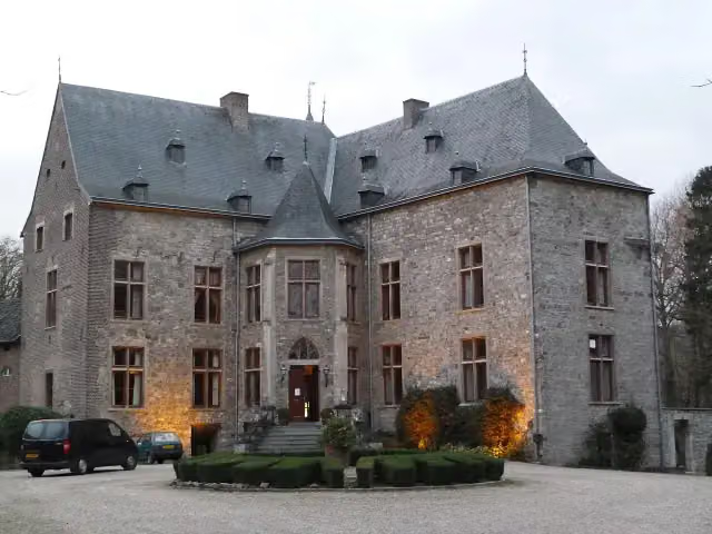 Kasteel WittemCastle · 7.3 km from the route
- 13
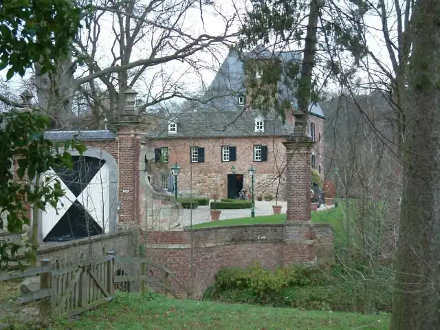 Kasteel LemiersCastle · 8.2 km from the route
- 14
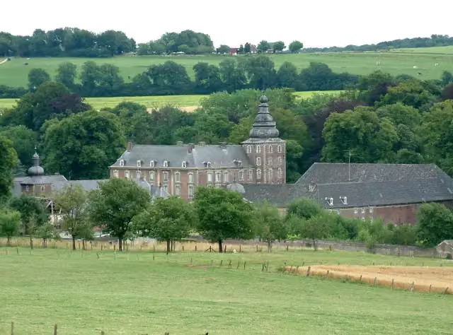 Kasteel NeubourgCastle · 9.1 km from the route
- 15
 Kasteel MillenCastle · 162 m from the route
- 16
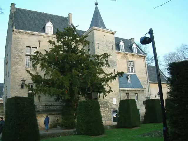 Den Halder CastleCastle · 6.7 km from the route
- 17
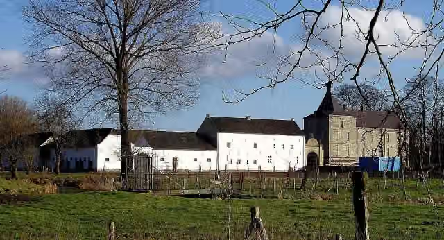 Kasteel GenhoesCastle · 5.8 km from the route
- 18
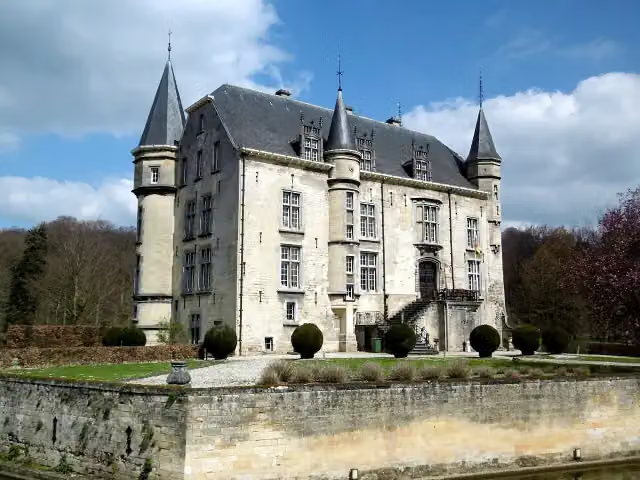 CastleCastle · 6.1 km from the route
- 19
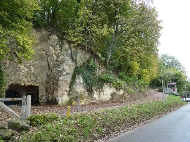 Romeinse KatakombenMuseum · 6.5 km from the route
- 20
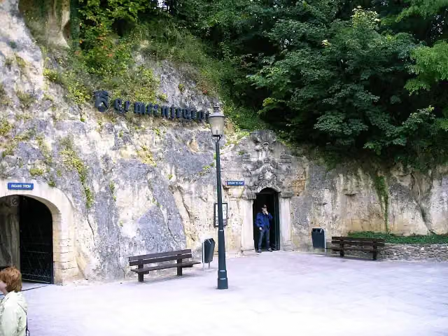 GemeentegrotAttraction · 6.9 km from the route
- 21
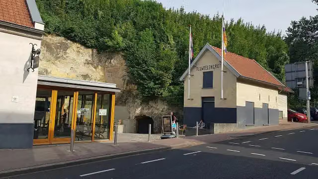 Kasteelruïne & FluweelengrotAttraction · 7.1 km from the route
- 22
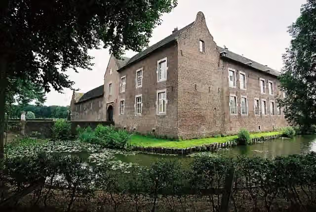 Kasteel TerborghCastle · 121 m from the route
- 23
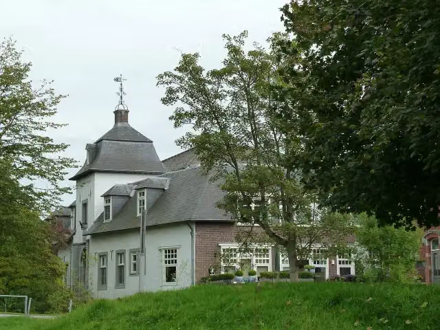 Kasteel SteinCastle · 140 m from the route
- 24
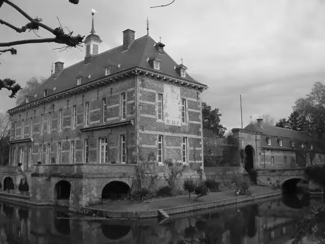 Kasteel WijlreCastle · 6.6 km from the route
- 25
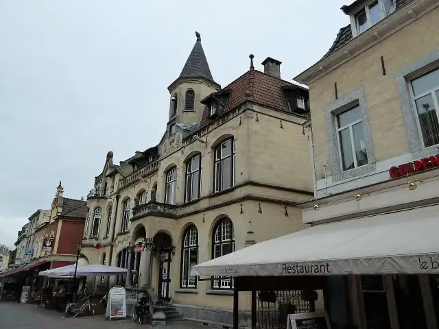 Museum ValkenburgMuseum · 6.8 km from the route
Explore more
Frequently asked questions
How long is Grünroute?
Grünroute is 119 km long. Allow ± 7:55 h of riding: 15 km an hour, without breaks.
Is this route a circular ride?
No, the route runs from Düren to Hasselt.
Where does this route start?
The route starts in Maasmechelen.
How hard is this route?
Hard.
Are there toilets along this route?
Yes, there are 2 public toilets within 100 m of the route.
Can you fill up with water along this route?
Yes, there are 8 water fountains and refill points within 100 m of the route.
What is there to see along this route?
Along the way you pass Kasteel Elsloo, Kasteel Terworm and Kasteel Puth.
Start place
More routes from this place
Route data © OpenStreetMap contributors





