 Outdoor Pitstop
Cycle route · Venlo · Updated on 6 November 2026
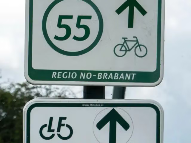
LF Maasroute - 04 - Venlo - Boxmeer cycle route
LF Maasroute - 04 - Venlo - Boxmeer is a cycle route of 56.5 km from Venlo. Along the way you'll find 128 benches and picnic tables, 1 water point and 3 public toilets.
i
i
i
The route step by step
From start to finish, with what you pass along the way and the distance in between.
- 56.5 km
- ± 3:45 h
- ↑ 15 m · ↓ 19 m
- Moderate
- From A to B
- National route
- Colour of the signs
Start in Venlo
0 km19.2 km · 51 benches
Public toilet
19.2 km284 m · 3 benches
2 public toilets
19.5 km21.9 km · 48 benches
Water point
41.3 km15.2 km · 23 benches
Finish
56.5 km
Longest stretch without a toilet: 37 kmBetween 19.5 km and 56.5 km there is no public toilet within 100 m of the route.
The route with the pitstops and sights within 100 m of it.
Elevation and terrain
- Up
- ↑ 15 m
- Down
- ↓ 19 m
- Highest point
- 23 m
- Lowest point
- 11 m
Nowhere steeper than 5%.
Elevation from AHN (Rijkswaterstaat), smoothed.
Way types
56.5 km in total- Road: 27.6 km
- Cycle path: 21.6 km
- Track: 4.3 km
- Street: 1.6 km
- Path: 775 m
- Footpath (walk your bike): 75 m
- Unknown: 425 m
Surfaces
56.5 km in total- Asphalt: 43.4 km
- Gravel: 6.4 km
- Paved: 5 km
- Unpaved: 50 m
- Unknown: 1.5 km
About the cycle route LF Maasroute - 04 - Venlo - Boxmeer
Updated on 6 November 2026, with data from OpenStreetMap and the AHN.
Where do you cycle?
LF Maasroute - 04 - Venlo - Boxmeer is a cycle route of 56.5 km that starts in Venlo. It does not end where it starts. You start in Venlo and finish in Boxmeer.
How hard is the route?
The route is almost flat. You climb 15 m in total and descend 19 m. Allow ± 3:45 h, without breaks. The level is moderate.
What roads do you cycle on?
The longest part is road (27.6 km), cycle path (21.6 km) and track (4.3 km). Of the surface, 43.4 km asphalt and 6.4 km gravel. For 1.5 km the surface is not known.
Pitstops along the way
Within 100 metres of the route there are 128 benches and picnic tables, 1 water point and 3 public toilets. You can fill your bottle after 41.3 km. The longest stretch without a toilet is 37 km. The Outdoor Pitstop app navigates you there.
This stage of the LF Maasroute is a cycle route of just over 56 km from Venlo to Boxmeer, following the Meuse through northern Limburg. You ride through Velden to Arcen and its castle gardens, and on past Broekhuizen, Blitterswijck and Vierlingsbeek. On the way you pass nature areas such as the Lommerheide, Het Sohr and the Vortumsche Bergen. It is almost flat and mostly asphalt, with a tenth on gravel. There are 128 benches, three toilets and one water tap along the route. The full LF Maasroute runs from Maastricht to Rotterdam.
Source: Wikipedia (CC BY-SA)
Part of LF Maasroute
Website of the routeCycle routes nearby
6- LF Maasroute - 03 - Ohé en Laak - VenloHard · From A to B62.9 km
- Fietsallee am NordkanalModerate · From A to B48.6 km
- Greenport Bikeway - hoofdrouteEasy · From A to B15.5 km
- Schelde-Rheinroute - 07 - Neerkant - VenloModerate · From A to B39.2 km
- EuroVelo 4 - Centraal-Europaroute - deel NederlandHard · From A to B327.6 km
- Greenport Bikeway - noordelijke routeEasy · From A to B10.2 km
Sights nearby
Within 10 km of the route, best known first.
- 1
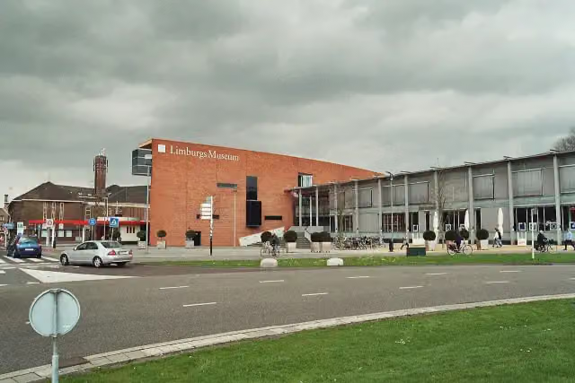 Limburgs MuseumMuseum · 539 m from the route
- 2
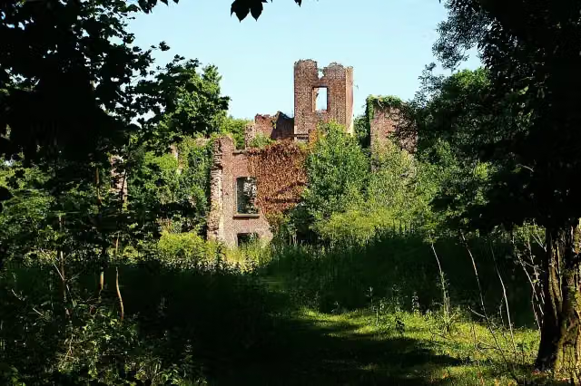 Kasteel BleijenbeekCastle · 3.2 km from the route
- 3
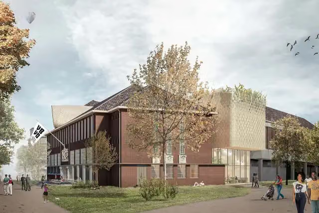 Museum van Bommel van DamMuseum · 454 m from the route
- 4
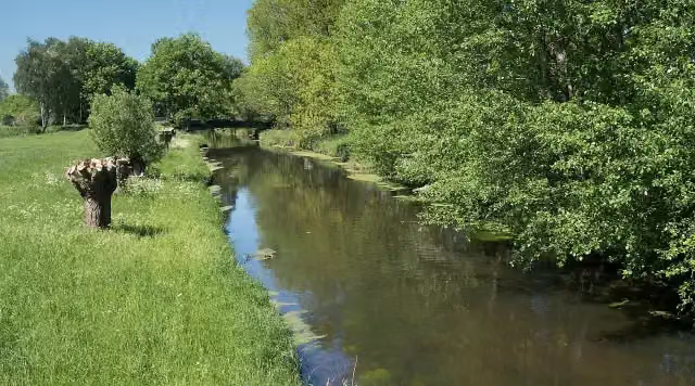 NiersmündungAttraction · 7.5 km from the route
- 5
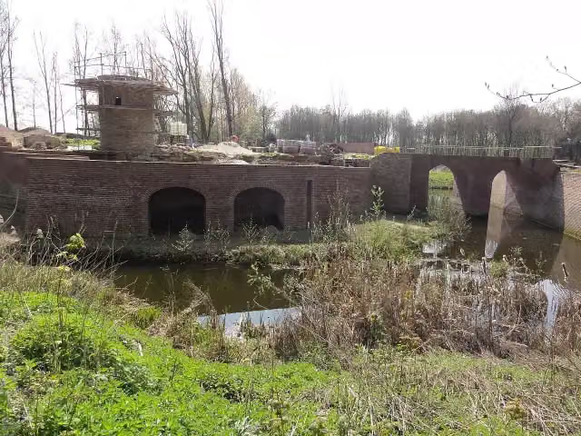 Kasteel GeijsterenCastle · 1.4 km from the route
- 6
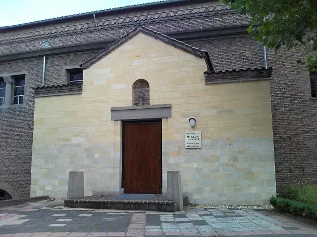 De CrypteMuseum · 5.8 km from the route
- 7
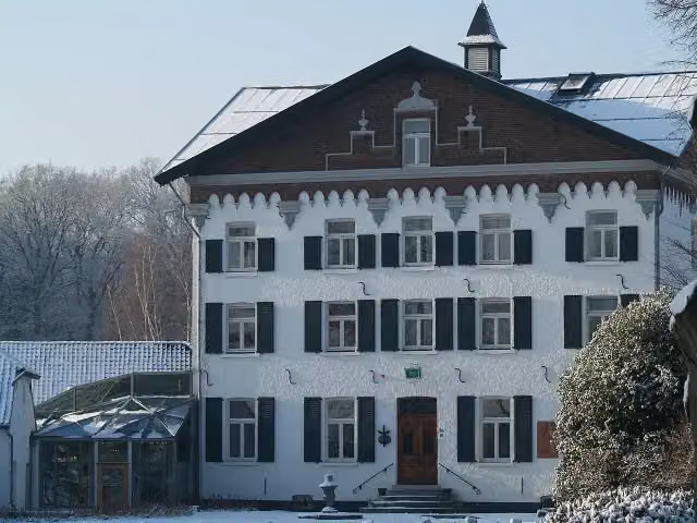 Kasteel De RaayCastle · 7.5 km from the route
- 8
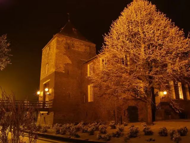 Kasteel D'ErpCastle · 6.3 km from the route
- 9
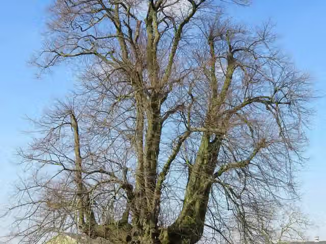 Linde van SambeekAttraction · 953 m from the route
- 10
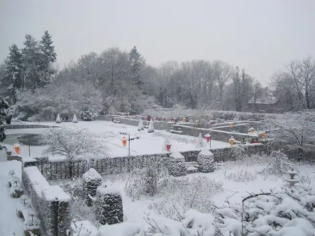 Kasteeltuinen ArcenAttraction · 288 m from the route
- 11
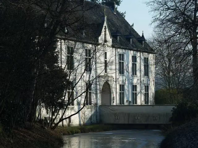 De BercktCastle · 4.7 km from the route
- 12
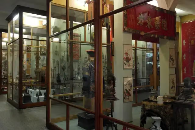 Missiemuseum SteylMuseum · 5 km from the route
- 13
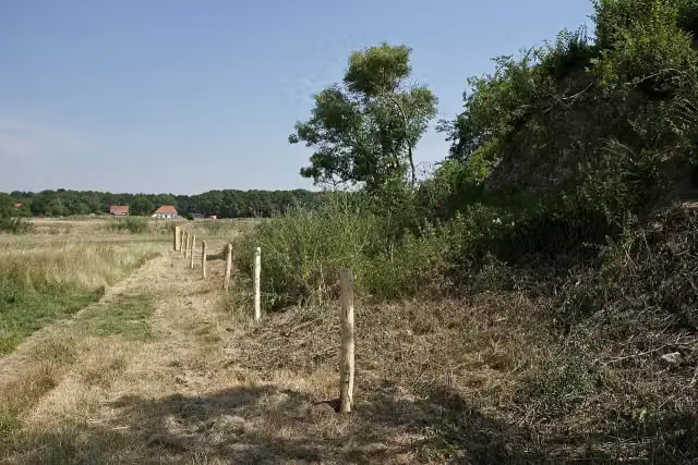 GenneperhuisRuins · 7.4 km from the route
- 14
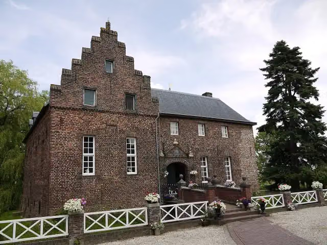 De BorggraafCastle · 1.6 km from the route
- 15
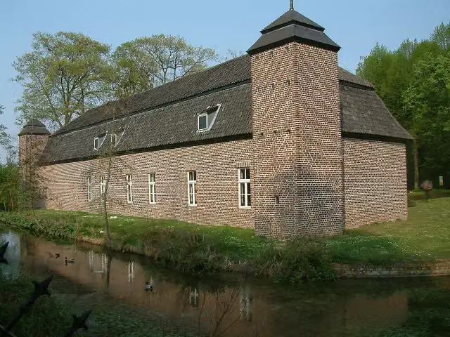 Keramiekcentrum Tiendschuur TegelenMuseum · 4.6 km from the route
- 16
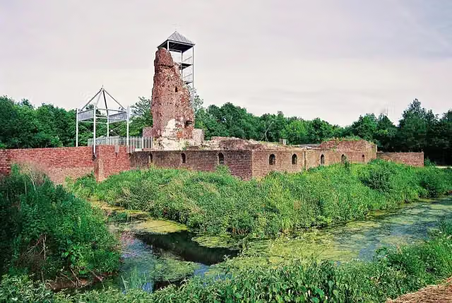 Huys ter HorstCastle · 7.2 km from the route
- 17
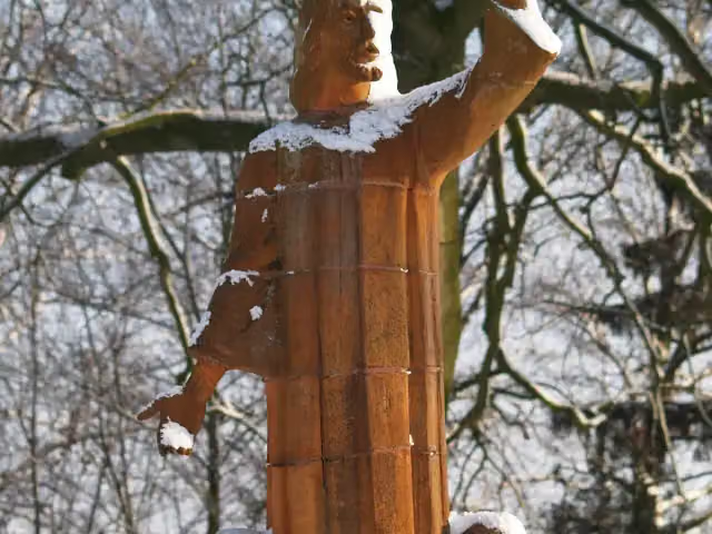 Bevrijdingsmonument BaarloMemorial · 7.4 km from the route
- 18
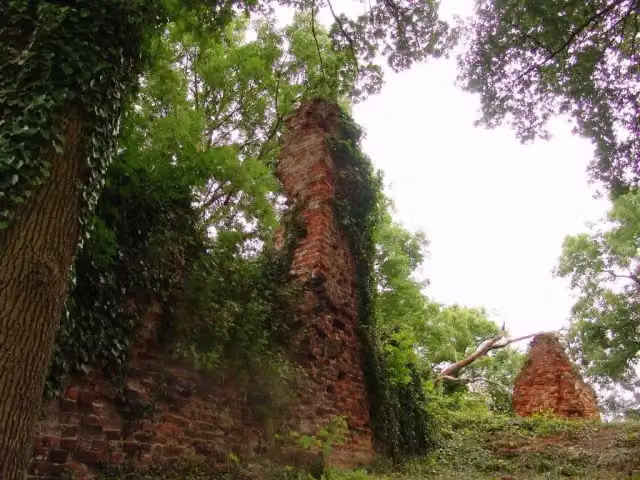 Gebroken SlotCastle · 623 m from the route
- 19
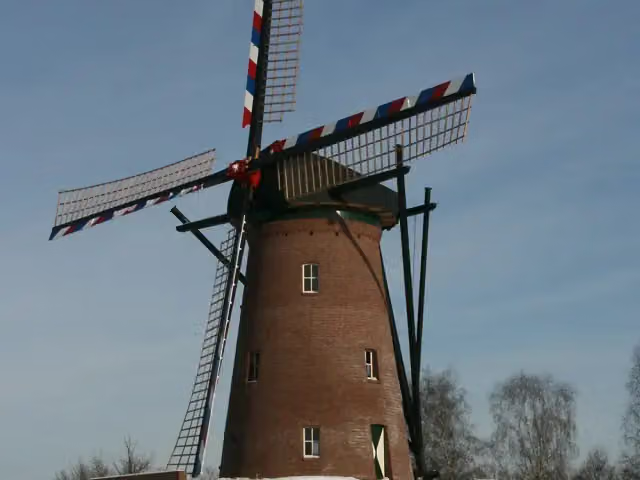 Houthuizer MolenAttraction · 3.2 km from the route
- 20
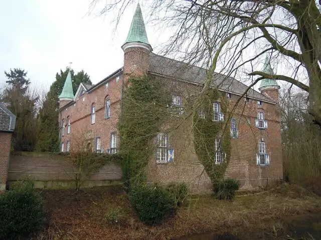 Schloss WalbeckCastle · 3.9 km from the route
- 21
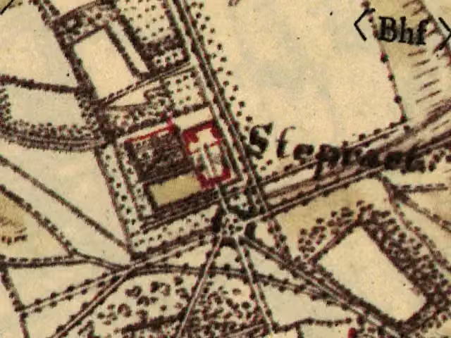 Haus SteprathCastle · 4.3 km from the route
- 22
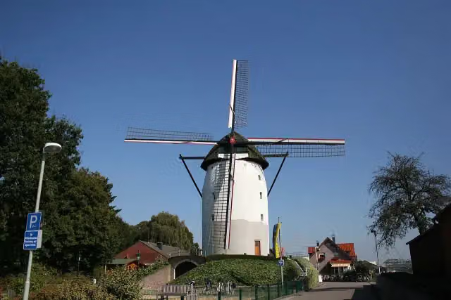 Steprather MühleAttraction · 4.9 km from the route
- 23
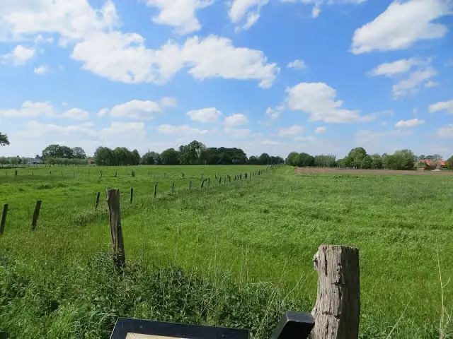 Motte Alt-KrickenbeckArchaeological site · 6.3 km from the route
- 24
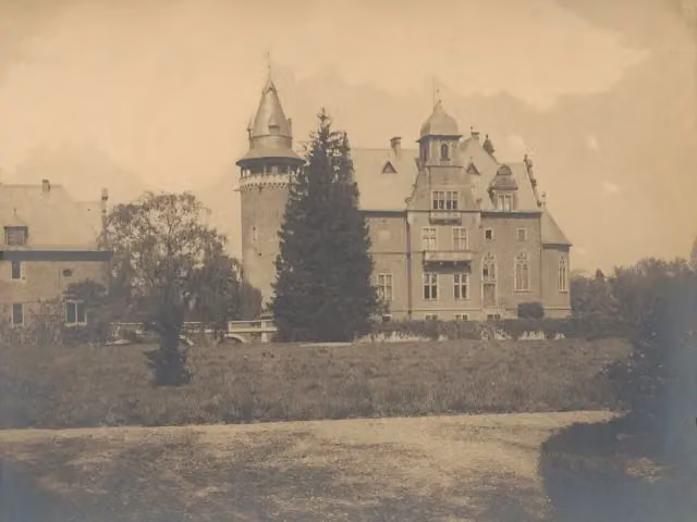 Schloss KrickenbeckCastle · 6.6 km from the route
- 25
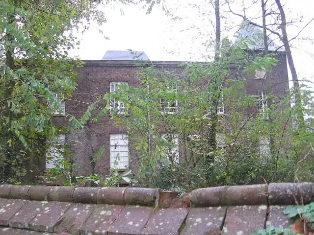 Kasteel ScheresCastle · 6.9 km from the route
Explore more
Frequently asked questions
How long is LF Maasroute - 04 - Venlo - Boxmeer?
LF Maasroute - 04 - Venlo - Boxmeer is 56.5 km long. Allow ± 3:45 h of riding: 15 km an hour, without breaks.
Is this route a circular ride?
No, the route runs from Venlo to Boxmeer.
Where does this route start?
The route starts in Venlo.
How hard is this route?
Moderate, with 15 m of climbing.
Are there toilets along this route?
Yes, there are 3 public toilets within 100 m of the route. The longest stretch without a toilet is 37 km.
Can you fill up with water along this route?
Yes, there are 1 water point within 100 m of the route.
Starting point
More routes from this place
Route data © OpenStreetMap contributors





