 Outdoor Pitstop
Cycle route · Maastricht · Updated on 5 November 2026
LF Maasroute - 01 - Grens - Maastricht cycle route
LF Maasroute - 01 - Grens - Maastricht is a cycle route of 7.7 km from Maastricht. Along the way you'll find 48 benches and picnic tables, 3 water fountains and refill points and 4 public toilets.
i
i
The route step by step
From start to finish, with what you pass along the way and the distance in between.
- 7.7 km
- ± 30 min
- ↑ 65 m · ↓ 63 m
- Easy
- From A to B
- National route
- Colour of the signs
Start in Maastricht
0 km1.8 km · 6 benches
Public toilet
1.8 km1.5 km · 5 benches
Water point
3.2 km459 m · 3 benches

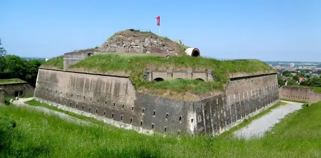
Fort Sint Pieter
3.7 km2 public toilets
2.1 km · 21 benches
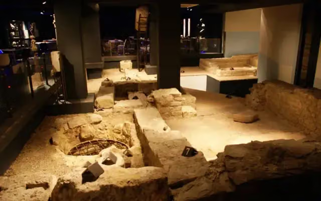
Museumkelder Derlon
5.8 kmWater point
397 m · 7 benches
Water point
6.2 km848 m · 6 benches
Public toilet
7 km617 m
Finish
7.7 km
Longest stretch without a toilet: 3.2 kmBetween 3.8 km and 7 km there is no public toilet within 100 m of the route.
The route with the pitstops and sights within 100 m of it.
2 sights along the way
In the order you pass them. With the Outdoor Pitstop app you hear their story on the spot.
Fort Sint Pieter
Attraction · after 3.8 km
Museumkelder Derlon
Museum · after 5.8 km
Elevation and terrain
- Up
- ↑ 65 m
- Down
- ↓ 63 m
- Highest point
- 108 m
- Lowest point
- 47 m
- 5-10% slope · 1.1 km
Elevation from AHN (Rijkswaterstaat), smoothed.
Way types
7.7 km in total- Road: 2.9 km
- Cycle path: 2.2 km
- Street: 2 km
- Footpath (walk your bike): 525 m
Surfaces
7.7 km in total- Asphalt: 5.9 km
- Paved: 1.7 km
About the cycle route LF Maasroute - 01 - Grens - Maastricht
Updated on 5 November 2026, with data from OpenStreetMap and the AHN.
Where do you cycle?
LF Maasroute - 01 - Grens - Maastricht is a cycle route of 7.7 km that starts in Maastricht. It does not end where it starts. You start in Maastricht (grens BE-NL) and finish in Maastricht. Along the way you pass Fort Sint Pieter (after 3.8 km) and Museumkelder Derlon (after 5.8 km).
How hard is the route?
You climb 65 m in total and descend 63 m. Allow ± 30 min, without breaks. The level is easy.
What roads do you cycle on?
The longest part is road (2.9 km), cycle path (2.2 km) and street (2 km). Of the surface, 5.9 km asphalt and 1.7 km paved.
Pitstops along the way
Within 100 metres of the route there are 48 benches and picnic tables, 3 water fountains and refill points and 4 public toilets. You can fill your bottle after 3.2 km, after 5.9 km and after 6.2 km. The longest stretch without a toilet is 3.2 km. The Outdoor Pitstop app navigates you there.
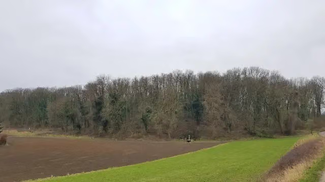
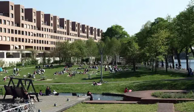
The first stage of the LF Maasroute is a short cycle route of almost 8 km from the Belgian border to Maastricht. You ride past the Sint-Pietersberg and the Jeker valley, the Slavantebos and Fort Sint Pieter, then through the Waldeckpark and Aldenhofpark into the city, where you pass the Museumkelder Derlon. There is some climbing, about 65 metres. All of it is paved. We know of four toilets and three water taps on the way. From Maastricht the LF Maasroute continues to Rotterdam.
Source: Wikipedia (CC BY-SA)
Part of LF Maasroute
Website of the routeCycle routes nearby
6- ENCI-Groeveroute 12Easy · From A to B1.3 km
- Via JecoreEasy · From A to B6.5 km
- Heuvelroute - 09 - Kanne - VoerenEasy · From A to B11.4 km
- EuroVelo 19 - Maasfietsroute - Maastricht - SmeermaasEasy · From A to B4.1 km
- LF Maasroute - 02 - Maastricht - Ohé en LaakModerate · From A to B44.7 km
- Doorfietsroute Sittard-MaastrichtEasy · From A to B6.6 km
Sights nearby
Within 10 km of the route, best known first.
- 1
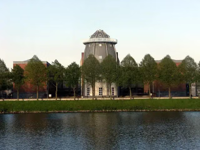 BonnefantenmuseumMuseum · 338 m from the route
- 2
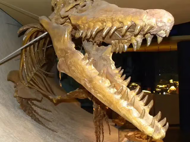 Natuurhistorisch Museum MaastrichtMuseum · 155 m from the route
- 3
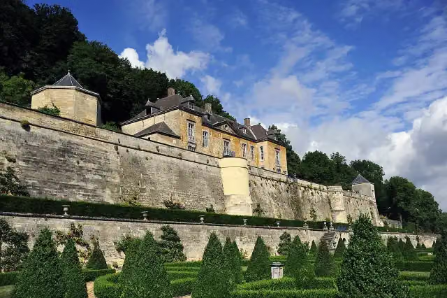 Château NeercanneCastle · 1.6 km from the route
- 4
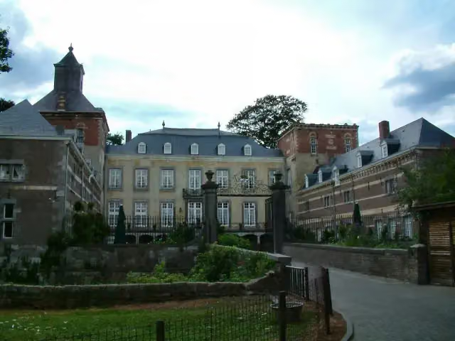 Kasteel BorgharenCastle · 3.2 km from the route
- 5
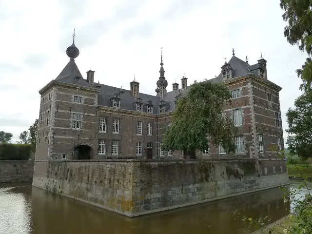 Eijsden CastleCastle · 4.3 km from the route
- 6
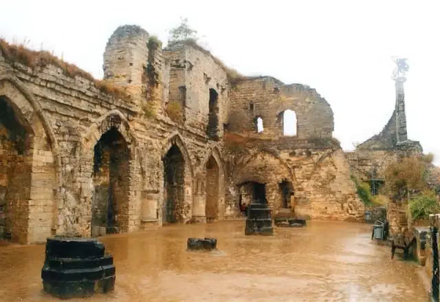 Kasteel ValkenburgAttraction · 8.8 km from the route
- 7
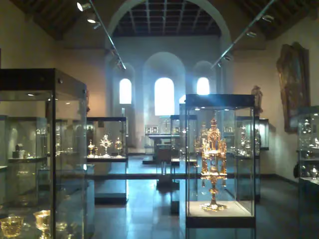 Treasury of the Basilica of Saint ServatiusMuseum · 319 m from the route
- 8
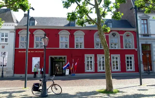 Museum aan het VrijthofMuseum · 189 m from the route
- 9
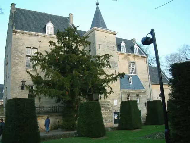 Den Halder CastleCastle · 8.9 km from the route
- 10
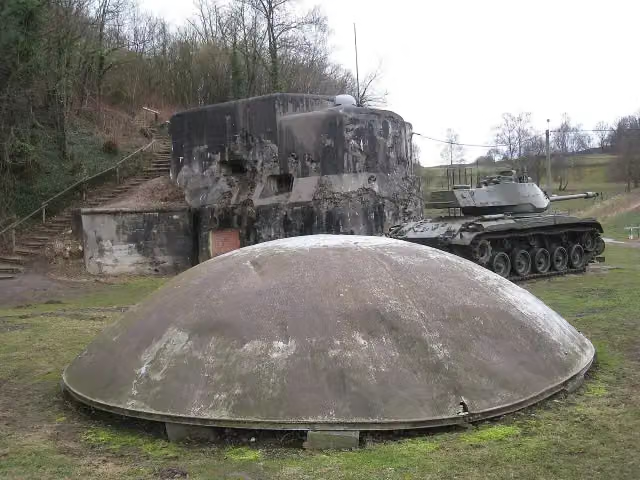 Fort d'Eben EmaelAttraction · 1.8 km from the route
- 11
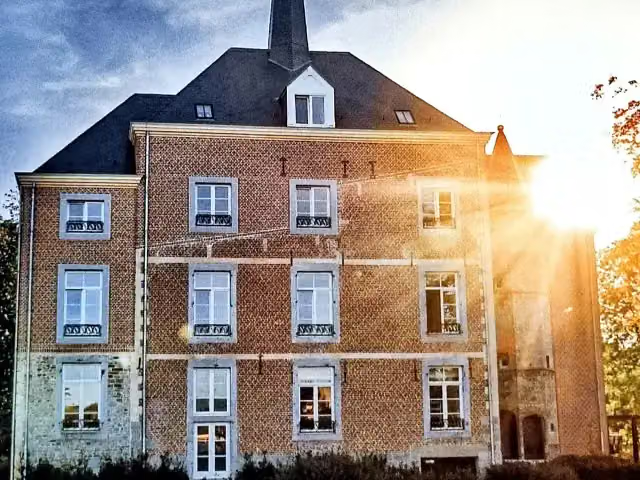 Van Oys Maastricht RetreatCastle · 2 km from the route
- 12
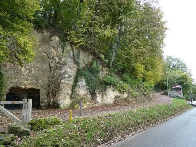 Romeinse KatakombenMuseum · 8.3 km from the route
- 13
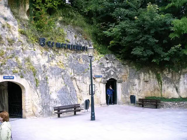 GemeentegrotAttraction · 8.7 km from the route
- 14
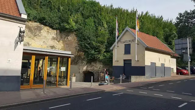 Kasteelruïne & FluweelengrotAttraction · 8.8 km from the route
- 15
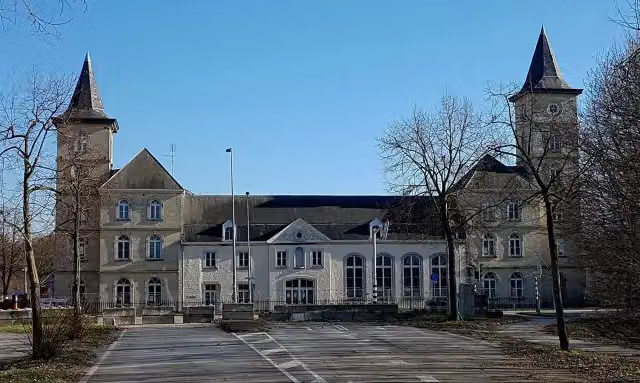 La Grande SuisseCastle · 2.8 km from the route
- 16
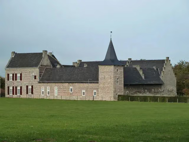 SibberhuuskeCastle · 8 km from the route
- 17
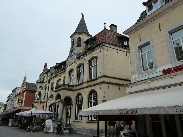 Museum ValkenburgMuseum · 9 km from the route
- 18
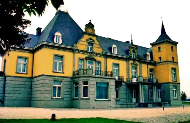 Kasteel HoogenweerthCastle · 243 m from the route
- 19
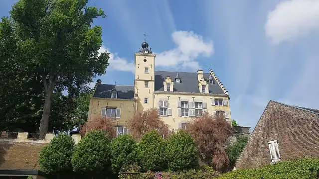 Huis De TorentjesCastle · 381 m from the route
- 20
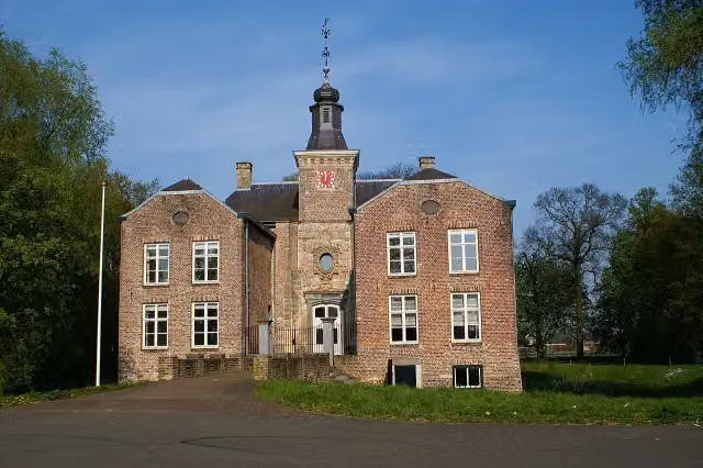 Kasteel GeusseltCastle · 1.7 km from the route
- 21
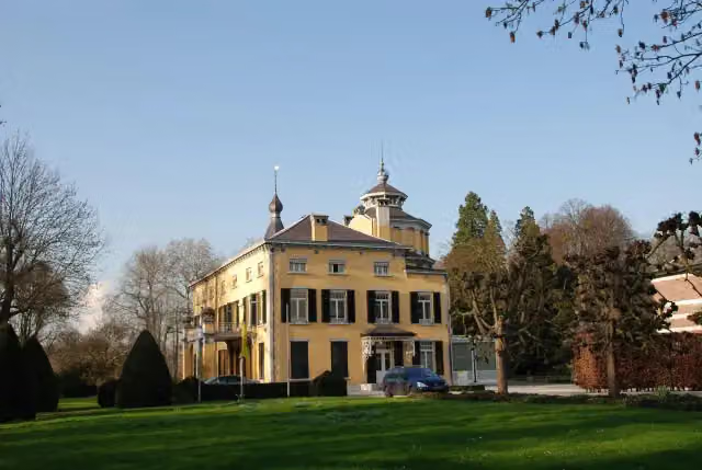 Villa KruisdonkCastle · 3.6 km from the route
- 22
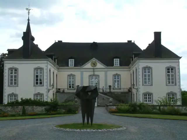 Kasteel MeerssenhovenCastle · 4.7 km from the route
- 23
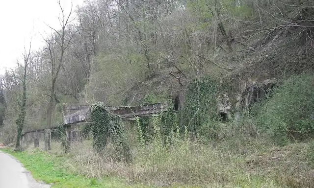 BronsdaelgroeveMemorial · 5.5 km from the route
- 24
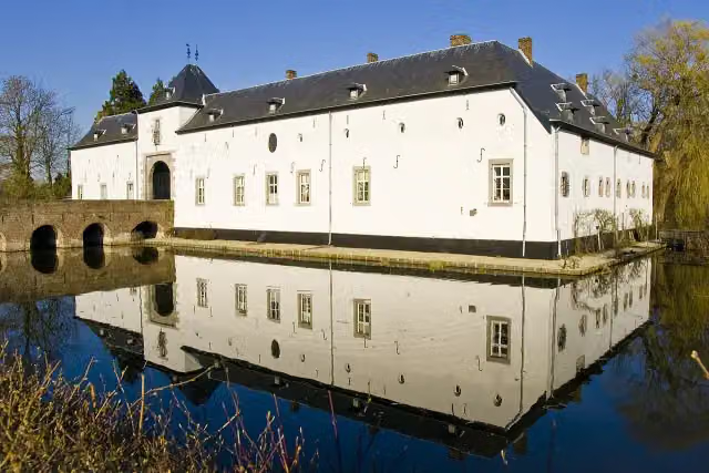 Kasteel GeulleCastle · 8.9 km from the route
- 25
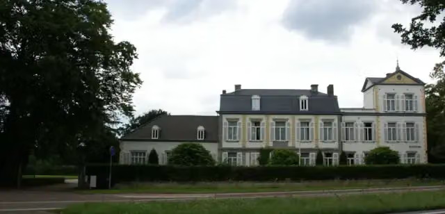 WithuishofCastle · 2.2 km from the route
Explore more
Frequently asked questions
How long is LF Maasroute - 01 - Grens - Maastricht?
LF Maasroute - 01 - Grens - Maastricht is 7.7 km long. Allow ± 30 min of riding: 15 km an hour, without breaks.
Is this route a circular ride?
No, the route runs from Maastricht (grens BE-NL) to Maastricht.
Where does this route start?
The route starts in Maastricht.
How hard is this route?
Easy, with 65 m of climbing.
Are there toilets along this route?
Yes, there are 4 public toilets within 100 m of the route. The longest stretch without a toilet is 3.2 km.
Can you fill up with water along this route?
Yes, there are 3 water fountains and refill points within 100 m of the route.
What is there to see along this route?
Along the way you pass Fort Sint Pieter and Museumkelder Derlon.
Starting point
More routes from this place
Route data © OpenStreetMap contributors





