 Outdoor Pitstop
Cycle route · Land van Cuijk · Updated on 5 November 2026
LF Maasroute - 05 - Boxmeer - Maasbommel cycle route
LF Maasroute - 05 - Boxmeer - Maasbommel is a cycle route of 61.2 km from Land van Cuijk. Along the way you'll find 88 benches and picnic tables, 5 water fountains and refill points and 2 public toilets.
The route step by step
From start to finish, with what you pass along the way and the distance in between.
- 61.2 km
- ± 4:05 h
- ↑ 24 m · ↓ 29 m
- Hard
- From A to B
- National route
- Colour of the signs
Start in Land van Cuijk
0 km353 m
Water point
353 m7.7 km · 6 benches
Public toilet and water point
8.1 km860 m · 3 benches
Water point
8.9 km14.2 km · 25 benches
Public toilet
23.2 km9.8 km · 10 benches
Water point
33 km21.3 km · 35 benches

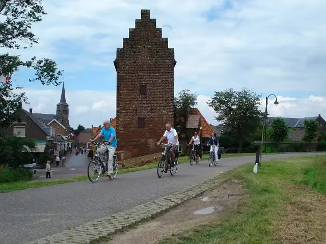
Gevangentoren
54.3 kmAttraction
483 m · bench
Water point
54.7 km6.5 km · 8 benches
Finish
61.2 km
Longest stretch without a toilet: 38 kmBetween 23.2 km and 61.2 km there is no public toilet within 100 m of the route.
The route with the pitstops and sights within 100 m of it.
1 sight along the way
In the order you pass them. With the Outdoor Pitstop app you hear their story on the spot.
Attraction · after 54.3 km
Elevation and terrain
- Up
- ↑ 24 m
- Down
- ↓ 29 m
- Highest point
- 18 m
- Lowest point
- 6 m
Nowhere steeper than 5%.
Elevation from AHN (Rijkswaterstaat), smoothed.
Way types
61.2 km in total- Cycle path: 27.4 km
- Road: 26.9 km
- Track: 3.8 km
- Street: 2.2 km
- Footpath (walk your bike): 375 m
- Busy road: 150 m
- Unknown: 200 m
Surfaces
61.2 km in total- Asphalt: 51.4 km
- Paved: 5.8 km
- Gravel: 3.7 km
- Unknown: 200 m
About the cycle route LF Maasroute - 05 - Boxmeer - Maasbommel
Updated on 5 November 2026, with data from OpenStreetMap and the AHN.
Where do you cycle?
LF Maasroute - 05 - Boxmeer - Maasbommel is a cycle route of 61.2 km that starts in Land van Cuijk. It does not end where it starts. You start in Boxmeer and finish in Maasbommel. Along the way you pass Gevangentoren (after 54.3 km).
How hard is the route?
You climb 24 m in total and descend 29 m. Allow ± 4:05 h, without breaks. The level is hard.
What roads do you cycle on?
The longest part is cycle path (27.4 km), road (26.9 km) and track (3.8 km). Of the surface, 51.4 km asphalt and 5.8 km paved. For 200 m the surface is not known.
Pitstops along the way
Within 100 metres of the route there are 88 benches and picnic tables, 5 water fountains and refill points and 2 public toilets. You can fill your bottle after 353 m, after 8.1 km, after 8.9 km, after 33 km and after 54.7 km. The longest stretch without a toilet is 38 km. The Outdoor Pitstop app navigates you there.
This stage of the LF Maasroute is a cycle route of just over 61 km from Boxmeer to Maasbommel, following the Meuse through north-east Brabant and the tip of Limburg. You ride through Beugen and Gennep to Cuijk, then on past Grave, Ravenstein and Megen to Maasbommel. Near Oeffelt lies the Oeffelter Meent nature reserve. Almost half is cycle path and almost all of it is paved. We know of two toilets and five water taps on the way. The full LF Maasroute runs from Maastricht to Rotterdam.
Source: Wikipedia (CC BY-SA)
Part of LF Maasroute
Website of the routeCycle routes nearby
3Sights nearby
Within 10 km of the route, best known first.
- 1
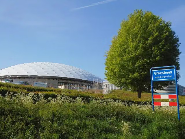 Freedom MuseumMuseum · 5.8 km from the route
- 2
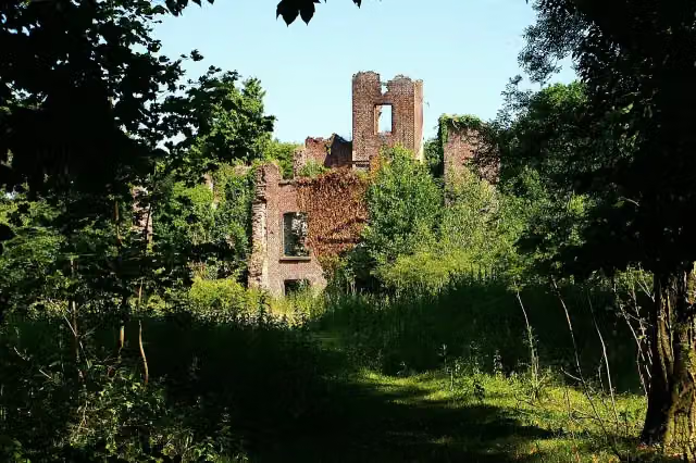 Kasteel BleijenbeekCastle · 6.5 km from the route
- 3
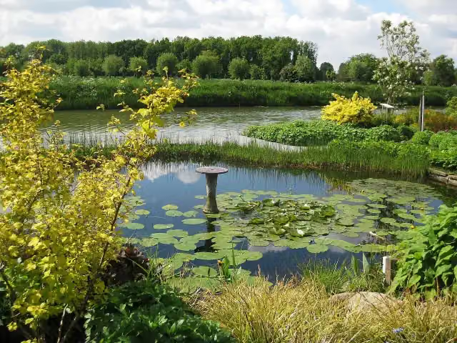 Bloemenpark AppelternAttraction · 1.4 km from the route
- 4
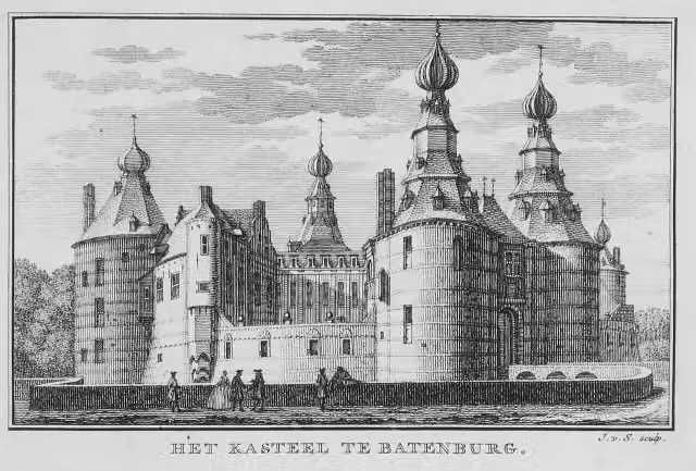 Kasteel BatenburgRuins · 804 m from the route
- 5
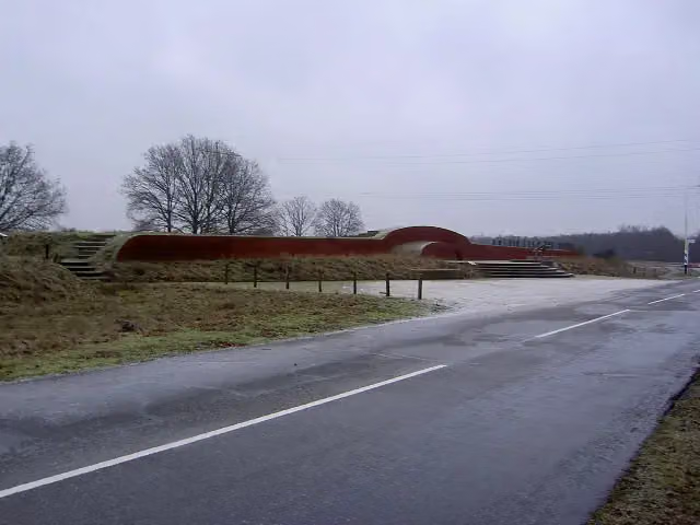 VorstengrafArchaeological site · 8.7 km from the route
- 6
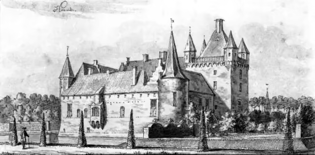 HernenCastle · 3.4 km from the route
- 7
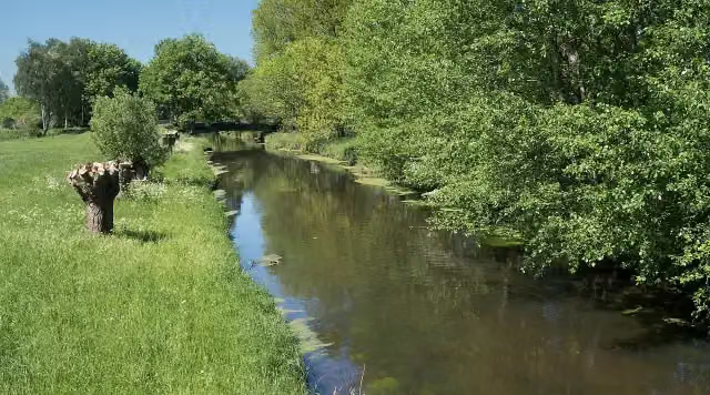 NiersmündungAttraction · 336 m from the route
- 8
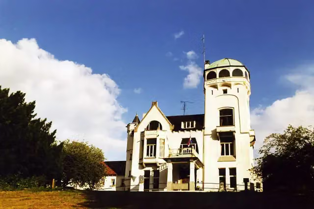 Jachtslot De MookerheideCastle · 2.3 km from the route
- 9
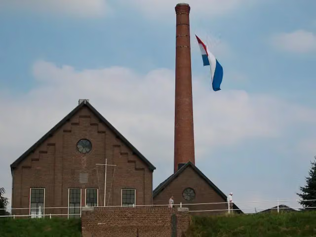 Stoomgemaal de TuutMuseum · 1 km from the route
- 10
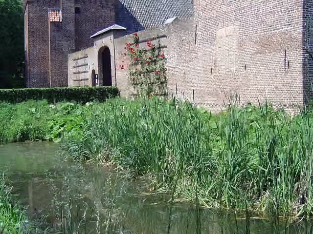 Kasteel TongelaarCastle · 4.1 km from the route
- 11
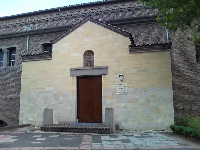 De CrypteMuseum · 127 m from the route
- 12
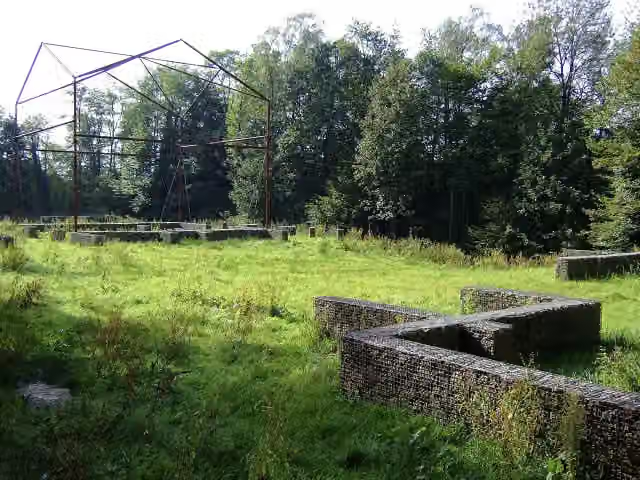 Romeinse villa PlasmolenArchaeological site · 1.6 km from the route
- 13
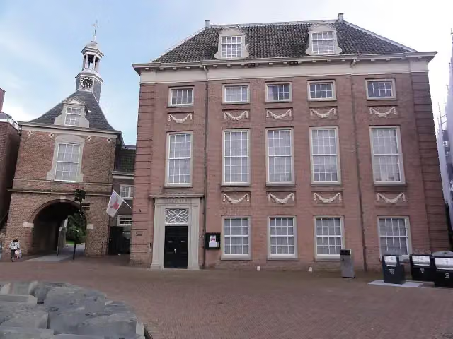 Flipje en StreekmuseumMuseum · 9 km from the route
- 14
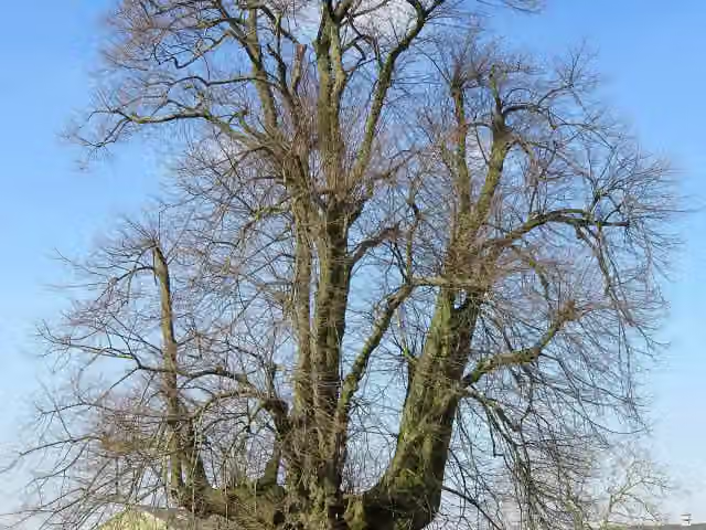 Linde van SambeekAttraction · 1.7 km from the route
- 15
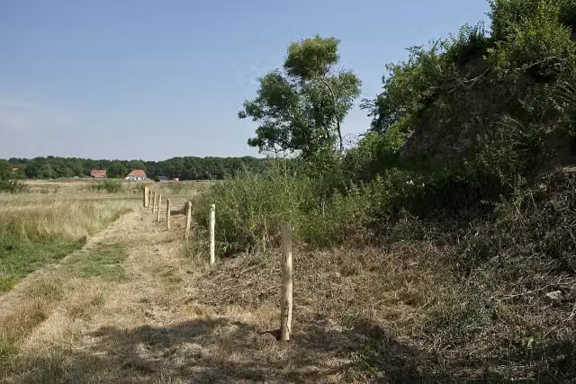 GenneperhuisRuins · 156 m from the route
- 16
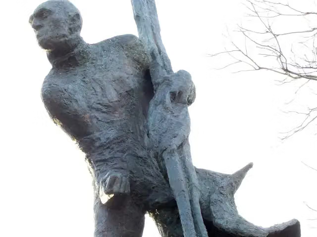 De RoeierMemorial · 9.1 km from the route
- 17
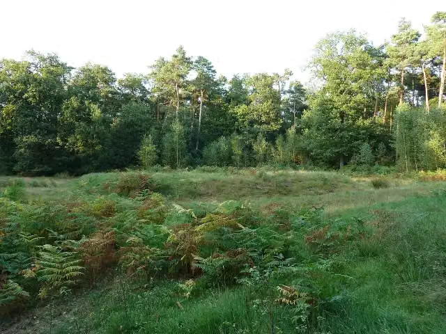 Romeinse Wachtpost HeumensoordArchaeological site · 4.6 km from the route
- 18
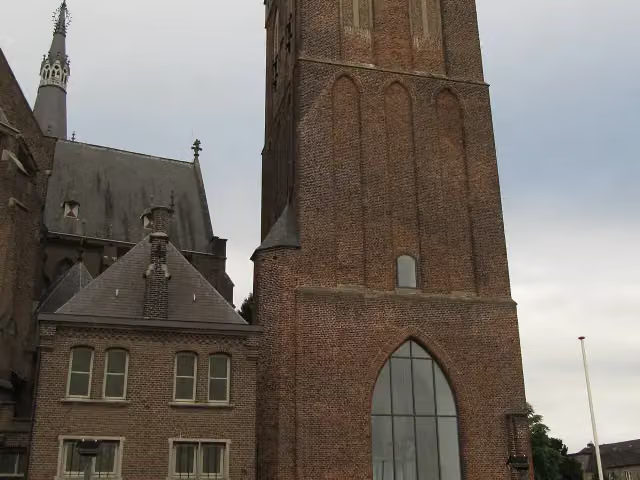 CeuclumMuseum · 249 m from the route
- 19
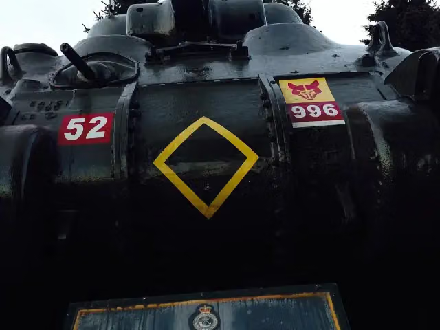 Sherwood Rangers-monumentMemorial · 5.7 km from the route
- 20
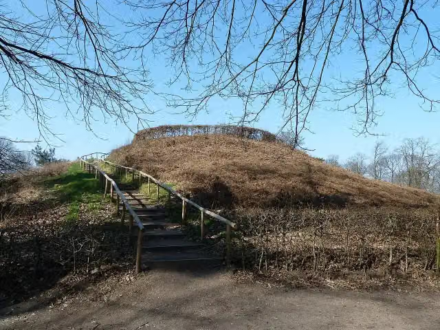 Archaeological siteArchaeological site · 9.1 km from the route
- 21
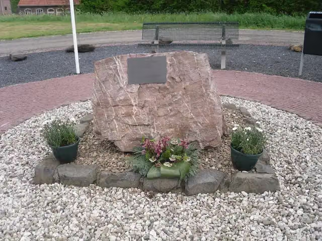 Een brug "te veel"Memorial · 532 m from the route
- 22
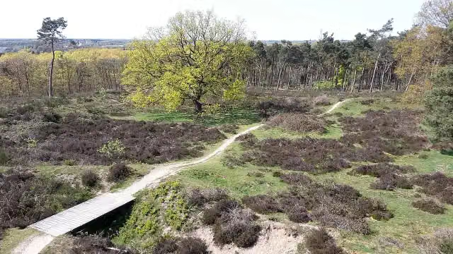 MookerschansArchaeological site · 1.1 km from the route
- 23
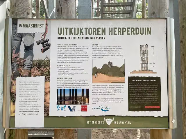 Watch tower HerperduinObservation tower · 4.6 km from the route
- 24
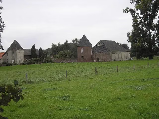 Haus DriesbergArchaeological site · 6.3 km from the route
- 25
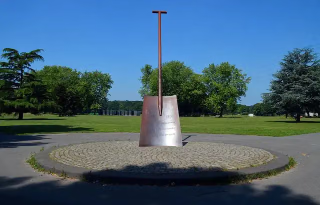 SpadeMemorial · 7.5 km from the route
Explore more
Frequently asked questions
How long is LF Maasroute - 05 - Boxmeer - Maasbommel?
LF Maasroute - 05 - Boxmeer - Maasbommel is 61.2 km long. Allow ± 4:05 h of riding: 15 km an hour, without breaks.
Is this route a circular ride?
No, the route runs from Boxmeer to Maasbommel.
Where does this route start?
The route starts in Land van Cuijk.
How hard is this route?
Hard, with 24 m of climbing.
Are there toilets along this route?
Yes, there are 2 public toilets within 100 m of the route. The longest stretch without a toilet is 38 km.
Can you fill up with water along this route?
Yes, there are 5 water fountains and refill points within 100 m of the route.
What is there to see along this route?
Along the way you pass Gevangentoren.
Starting point
More routes from this place
Route data © OpenStreetMap contributors





