 Outdoor Pitstop
Cycle route · Mook en Middelaar · Updated on 6 November 2026
LF3 Maasroute cycle route
LF3 Maasroute is a cycle route of 60.6 km from Mook en Middelaar. Along the way you'll find 118 benches and picnic tables, 13 water fountains and refill points and 3 public toilets.
i
i
The route step by step
From start to finish, with what you pass along the way and the distance in between.
- 60.6 km
- ± 4:00 h
- ↑ 122 m · ↓ 115 m
- Hard
- From A to B
- National route
Start in Mook en Middelaar
0 km2.1 km
Water point
2.1 km3.7 km · 4 benches
Water point
5.8 km2.5 km · 5 benches
Water point
8.3 km4.1 km · 2 benches

Monument voor Ivan William Cain
12.4 kmMemorial
788 m
Water point
13.2 km489 m · 9 benches
Water point
13.7 km2.7 km · 26 benches
Public toilet and 2 water fountains and refill points
16.4 km592 m · 3 benches
Kruittoren
17 km2 public toilets and water point
633 m · 2 benches
Water point
17.7 km630 m · 2 benches
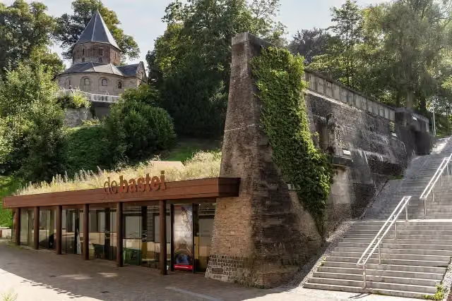
Museum De Bastei and 1 more
18.3 kmNationaal Fietsmuseum Velorama and 2 water fountains and refill points
42.3 km · 64 benches
Finish
60.6 kmAt the finish: 2 water fountains and refill points.
Longest stretch without a toilet: 43.5 kmBetween 17.1 km and 60.6 km there is no public toilet within 100 m of the route.
The route with the pitstops and sights within 100 m of it.
4 sights along the way
In the order you pass them. With the Outdoor Pitstop app you hear their story on the spot.
 Story
Memorial · after 12.4 km
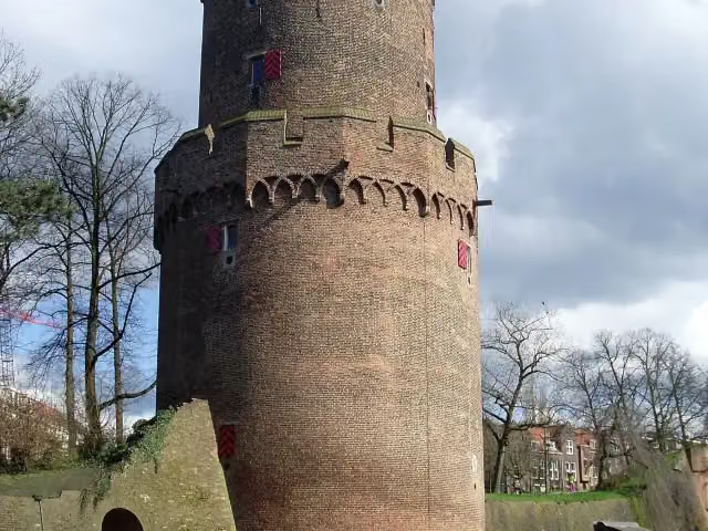
Ruins · after 17 km
- Story
i
Photo: Stichting De Bastei · Wikimedia Commons · CC BY-SA 4.0View the photo on Wikimedia CommonsMuseum De Bastei
Museum · after 18.3 km
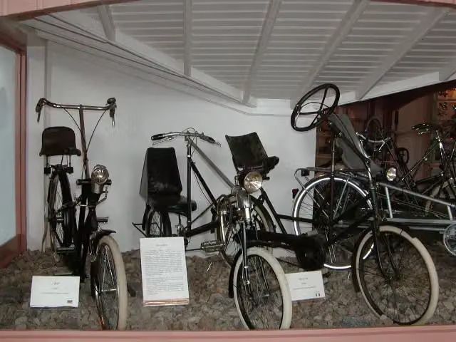 Audio story · 2 min
i
Photo: Eva K. / Eva K. · Wikimedia Commons · CC BY-SA 2.5View the photo on Wikimedia CommonsNationaal Fietsmuseum Velorama
Museum · after 18.4 km
Elevation and terrain
- Up
- ↑ 122 m
- Down
- ↓ 115 m
- Highest point
- 74 m
- Lowest point
- 9 m
- 5-10% slope · 305 m
Elevation from AHN (Rijkswaterstaat), smoothed.
Way types
60.6 km in total- Road: 30.4 km
- Cycle path: 21.2 km
- Track: 5.1 km
- Street: 2.7 km
- Busy road: 300 m
- Path: 225 m
- Unknown: 625 m
Surfaces
60.6 km in total- Asphalt: 41.6 km
- Paved: 12.5 km
- Gravel: 1.3 km
- Unpaved: 650 m
- Natural: 400 m
- Unknown: 4 km
About the cycle route LF3 Maasroute
Updated on 6 November 2026, with data from OpenStreetMap and the AHN.
Where do you cycle?
LF3 Maasroute is a cycle route of 60.6 km that starts in Mook en Middelaar. It does not end where it starts. Along the way you pass Monument voor Ivan William Cain (after 12.4 km), Kruittoren (after 17 km) and Museum De Bastei (after 18.3 km).
How hard is the route?
You climb 122 m in total and descend 115 m. Allow ± 4:00 h, without breaks. The level is hard.
What roads do you cycle on?
The longest part is road (30.4 km), cycle path (21.2 km) and track (5.1 km). Of the surface, 41.6 km asphalt and 12.5 km paved. For 4 km the surface is not known.
Pitstops along the way
Within 100 metres of the route there are 118 benches and picnic tables, 13 water fountains and refill points and 3 public toilets. The longest stretch without a toilet is 43.5 km. The Outdoor Pitstop app navigates you there.
The LF3 Maasroute is, in our data, a cycle route of just over 60 km in Gelderland, from Middelaar through Nijmegen to Arnhem. You ride past the Mookerheide, Plasmolen and the woods near Groesbeek and Heumensoord to Nijmegen, where you pass the Valkhof, the Kruittoren and the Velorama national cycling museum. The route then crosses the Gelderse Poort through Millingen aan de Rijn, Pannerden and Huissen to Arnhem. With some 120 metres of climbing there are a few hills. We know of three toilets and 13 water taps along the way, but no bike pump.
Cycle routes nearby
4Sights nearby
Within 10 km of the route, best known first.
- 1
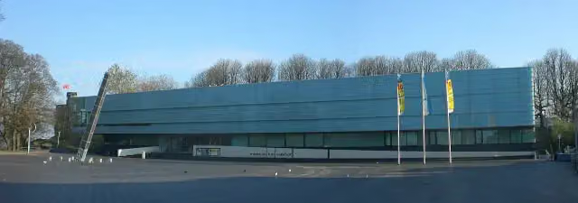 Valkhof MuseumMuseum · 252 m from the route
- 2
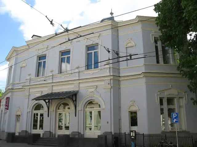 Museum ArnhemMuseum · 759 m from the route
- 3
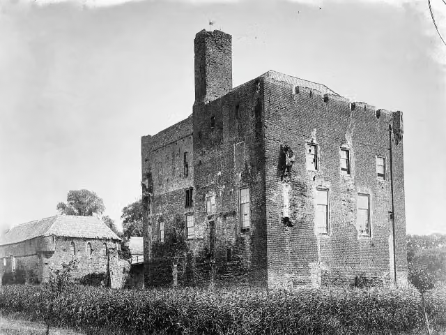 Kasteel DoornenburgAttraction · 1.6 km from the route
- 4
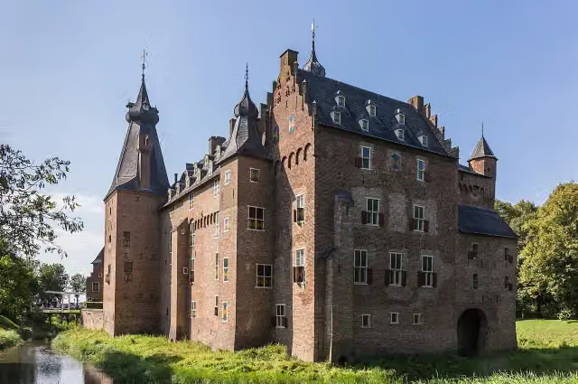 Kasteel DoorwerthCastle · 7.3 km from the route
- 5
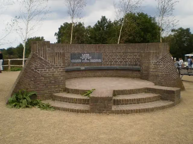 PosbankMemorial · 9.4 km from the route
- 6
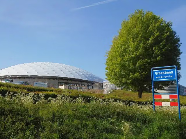 Freedom MuseumMuseum · 3 km from the route
- 7
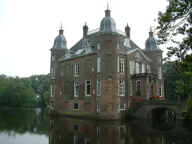 Kasteel BiljoenCastle · 5.6 km from the route
- 8
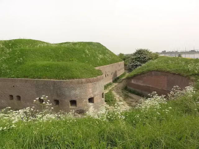 Fort PannerdenAttraction · 507 m from the route
- 9
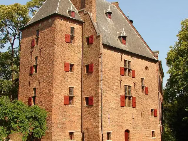 De KinkelenburgCastle · 2.3 km from the route
- 10
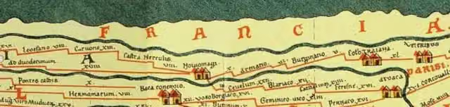 Castellum MeinerswijkArchaeological site · 1.4 km from the route
- 11
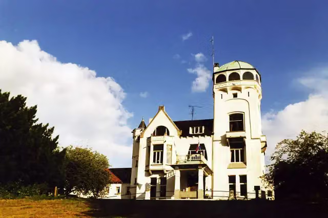 Jachtslot De MookerheideCastle · 694 m from the route
- 12
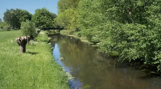 NiersmündungAttraction · 2.4 km from the route
- 13
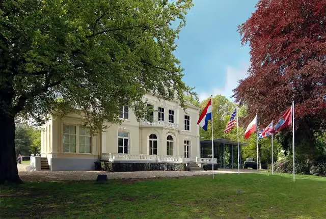 Airborne Museum 'Hartenstein'Museum · 4.6 km from the route
- 14
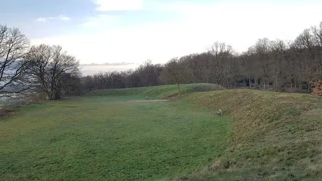 HunneschansArchaeological site · 5.7 km from the route
- 15
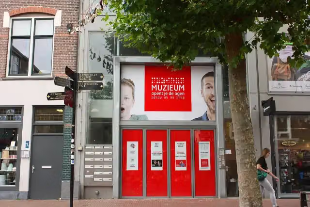 MuZIEumMuseum · 503 m from the route
- 16
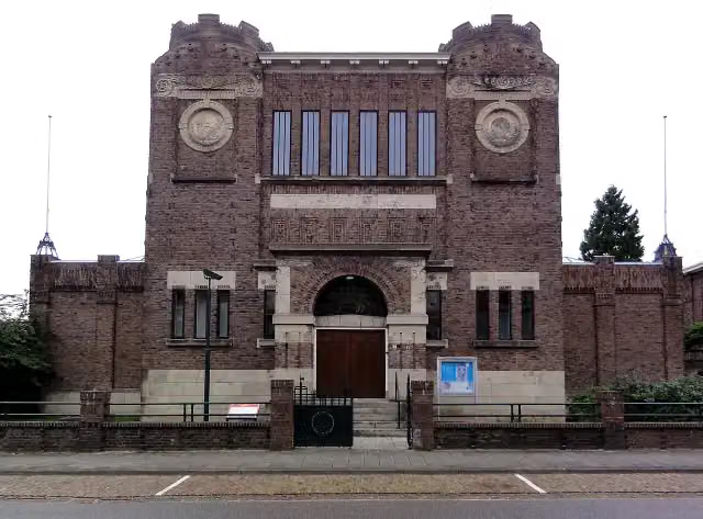 Museum KamMuseum · 548 m from the route
- 17
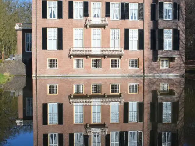 Huis ZypendaalCastle · 1.9 km from the route
- 18
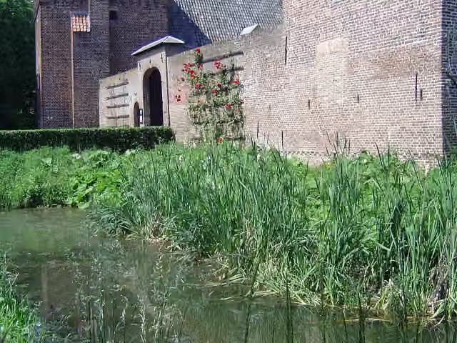 Kasteel TongelaarCastle · 9.1 km from the route
- 19
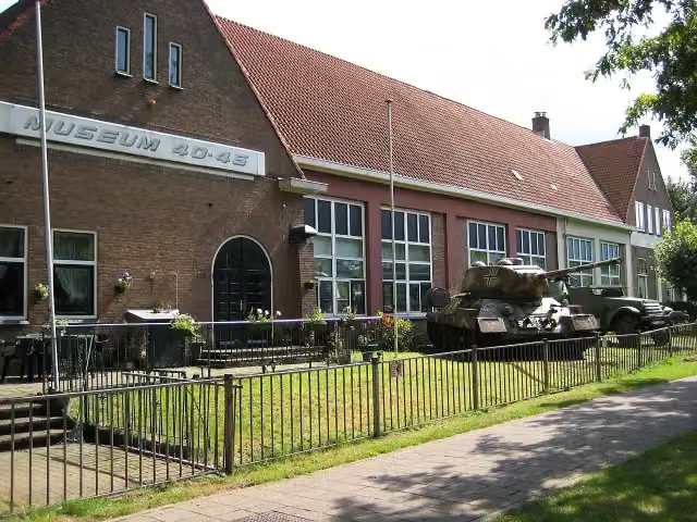 Arnhem War Museum 40 - 45Museum · 5.3 km from the route
- 20
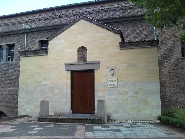 De CrypteMuseum · 4.7 km from the route
- 21
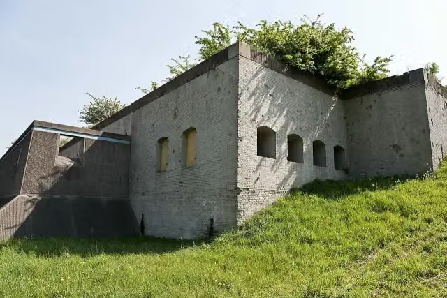 Fort WestervoortFort · 2 km from the route
- 22
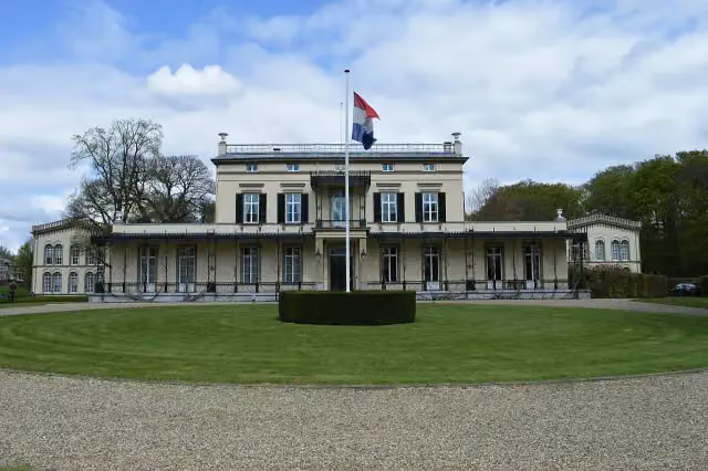 Koninklijk Tehuis voor Oud-Militairen en Museum BronbeekMuseum · 3.5 km from the route
- 23
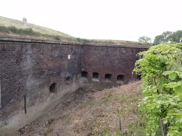 Fort Boven-LentAttraction · 1.5 km from the route
- 24
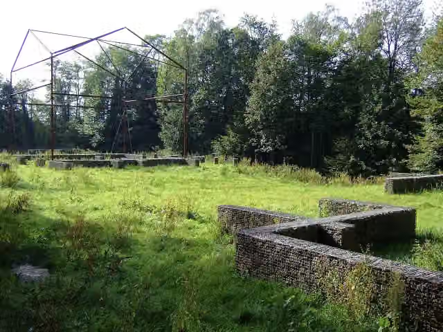 Romeinse villa PlasmolenArchaeological site · 291 m from the route
- 25
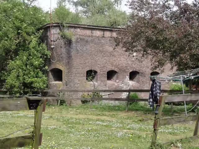 Fort Beneden LentFort · 1.3 km from the route
Explore more
Frequently asked questions
How long is LF3 Maasroute?
LF3 Maasroute is 60.6 km long. Allow ± 4:00 h of riding: 15 km an hour, without breaks.
Is this route a circular ride?
No, the route starts and ends at different spots.
Where does this route start?
The route starts in Mook en Middelaar.
How hard is this route?
Hard, with 122 m of climbing.
Are there toilets along this route?
Yes, there are 3 public toilets within 100 m of the route. The longest stretch without a toilet is 43.5 km.
Can you fill up with water along this route?
Yes, there are 13 water fountains and refill points within 100 m of the route.
What is there to see along this route?
Along the way you pass Monument voor Ivan William Cain, Kruittoren and Museum De Bastei.
Starting point
More routes from this place
Route data © OpenStreetMap contributors





