 Outdoor Pitstop
Cycle route · Donauwörth · Updated on 14 November 2026
Via Claudia Augusta cycle route
Via Claudia Augusta is a cycle route of 856 km from Donauwörth. Along the way you'll find 1,627 benches, 290 water fountains and refill points, 55 public toilets, 14 bike pumps and 5 honesty boxes and farm vending machines.
i
i
i
The route step by step
From start to finish, with what you pass along the way and the distance in between.
- 856 km
- ± 11:25 h per stage
- Hard per stage
- From A to B
- International route
Pick a stage to see the pitstops per kilometre. Along the way you'll find 1,627 benches, 290 water fountains and refill points, 55 public toilets, 14 bike pumps and 5 honesty boxes and farm vending machines.
Follow these steps in the appThe route with the water points, toilets and sights within 100 m of it.
83 sights along the way
In the order you pass them. With the Outdoor Pitstop app you hear their story on the spot. 75 more along the route are on the map.
i
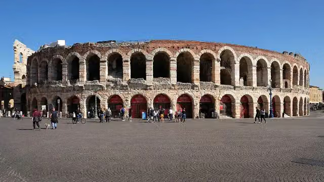
Photo: Tilman2007 · Wikimedia Commons · CC BY-SA 3.0View the photo on Wikimedia CommonsMuseum
i
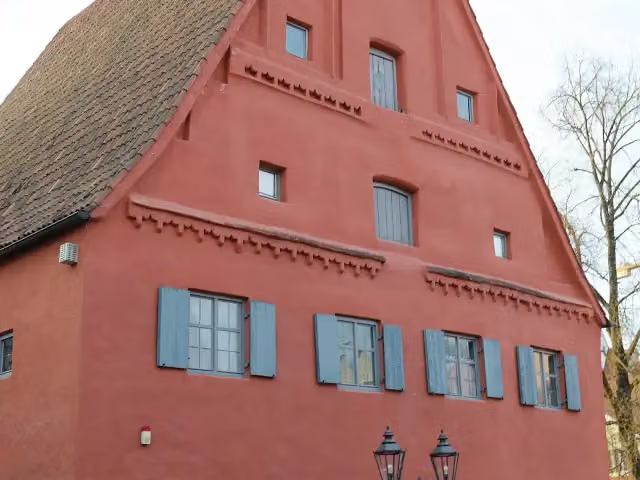
Photo: PaulT (Gunther Tschuch) · Wikimedia Commons · CC BY-SA 4.0View the photo on Wikimedia CommonsAttraction
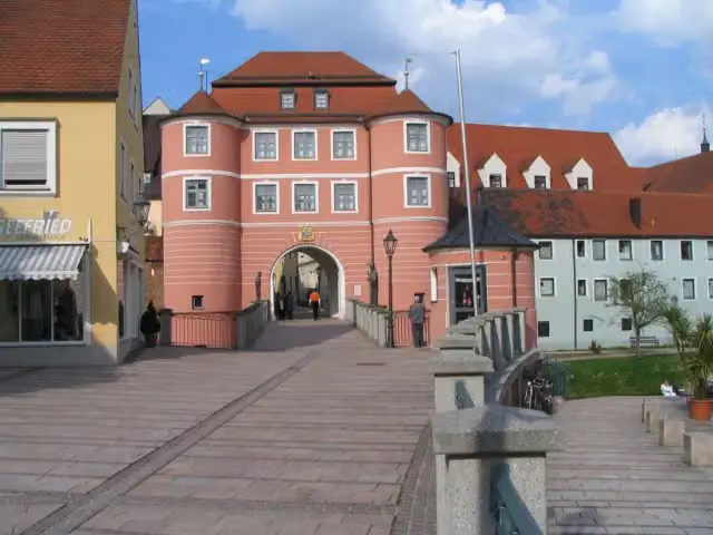
Museum
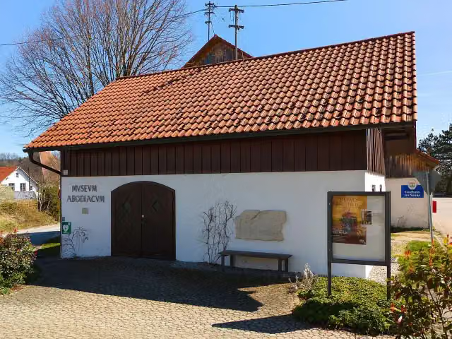
i
Photo: Stefan Karl · Wikimedia Commons · CC BY-SA 4.0View the photo on Wikimedia CommonsMuseum
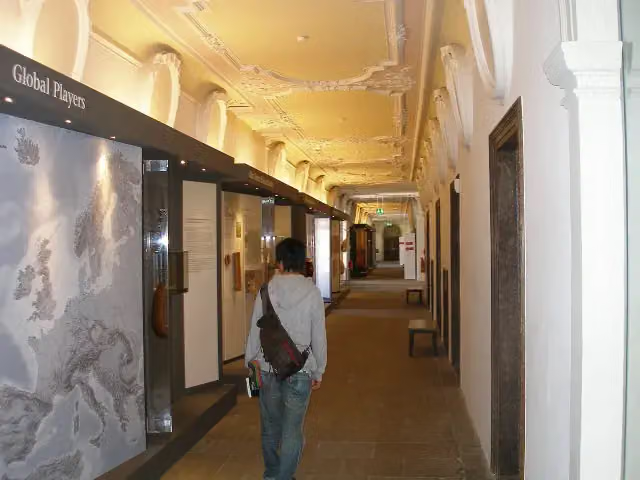
i
Photo: Klaus Graf · Wikimedia Commons · CC BY-SA 3.0View the photo on Wikimedia CommonsMuseum
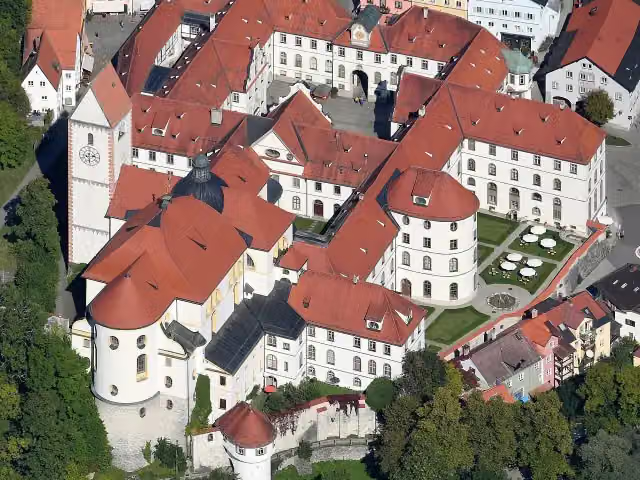
i
Photo: Carsten Steger · Wikimedia Commons · CC BY-SA 4.0View the photo on Wikimedia CommonsAttraction
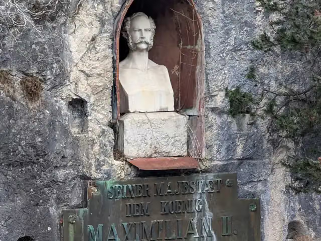
i
Photo: Gerd Eichmann · Wikimedia Commons · CC BY 4.0View the photo on Wikimedia CommonsMemorial
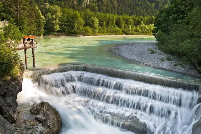
i
Photo: Jan Harenburg · Wikimedia Commons · CC BY 4.0View the photo on Wikimedia CommonsAttraction
Stages (5)
About the cycle route Via Claudia Augusta
Updated on 14 November 2026, with data from OpenStreetMap, the AHN and Copernicus.
Where do you cycle?
Via Claudia Augusta is a cycle route of 856 km that starts in Donauwörth. It does not end where it starts. You start in Donauwörth and finish in Ostiglia/Venezia.
How hard is the route?
Allow ± 11:25 h per stage, without breaks. Per stage the level is hard.
Pitstops along the way
Within 100 metres of the route there are 1,627 benches, 290 water fountains and refill points, 55 public toilets, 14 bike pumps and 5 honesty boxes and farm vending machines. The Outdoor Pitstop app navigates you there.
Cycle routes nearby
6- Donauradweg - Abschnitt Deutschland 2Hard · From A to B84.4 km
- D-Route 6 - Donauroute [Ulm - Ingolstadt]Hard · From A to B154 km
- EuroVelo 6 - Atlantic-Black Sea - part Germany - Bavaria 1Hard · From A to B203 km
- Zusam-RadwegHard · From A to B129 km
- SAHard · From A to B247.8 km
- Schwäbische Alb RadwegHard · From A to B419.6 km
Sights nearby
Within 10 km of the route, best known first.
- 1
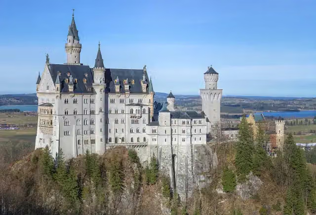 Neuschwanstein CastleAttraction · 3.2 km from the route
- 2
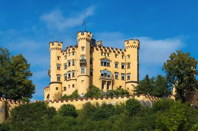 Schloss HohenschwangauAttraction · 2.4 km from the route
- 3
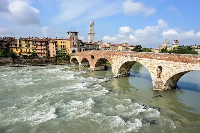 Ponte PietraAttraction · 370 m from the route
- 4
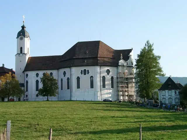 WieskircheAttraction · 7 km from the route
- 5
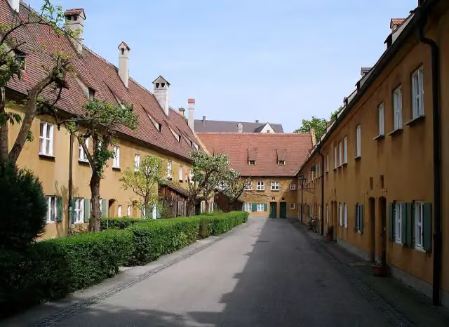 FuggereiAttraction · 1.1 km from the route
- 6
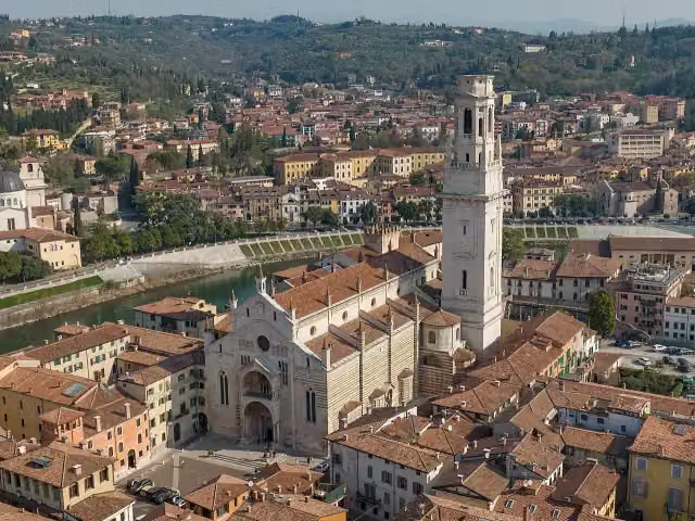 Cattedrale di Santa Maria MatricolareAttraction · 211 m from the route
- 7
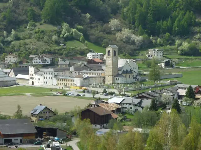 Benedictine Convent of Saint JohnAttraction · 8.4 km from the route
- 8
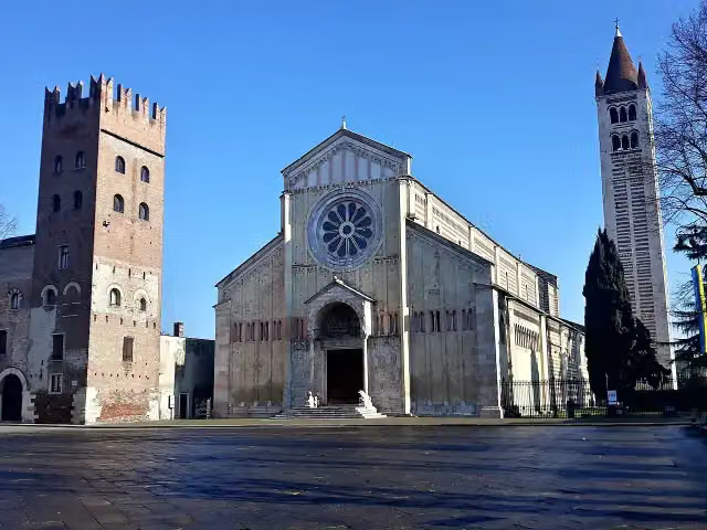 Basilica of San ZenoAttraction · 516 m from the route
- 9
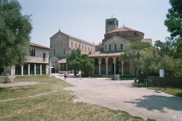 Cathedral of Santa Maria AssuntaAttraction · 5.1 km from the route
- 10
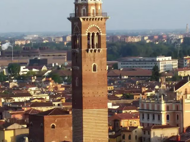 Torre dei LambertiAttraction · 111 m from the route
- 11
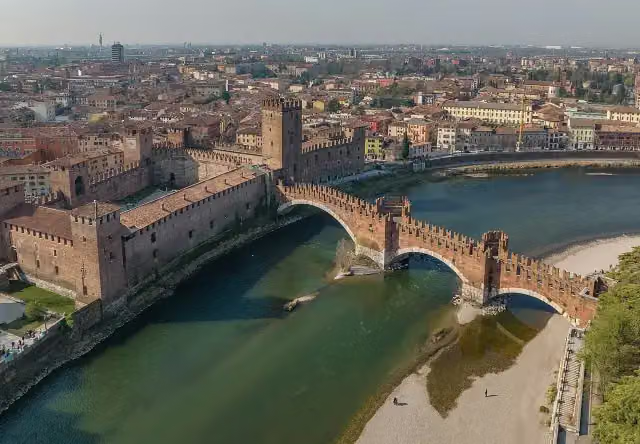 Ponte ScaligeroAttraction · 140 m from the route
- 12
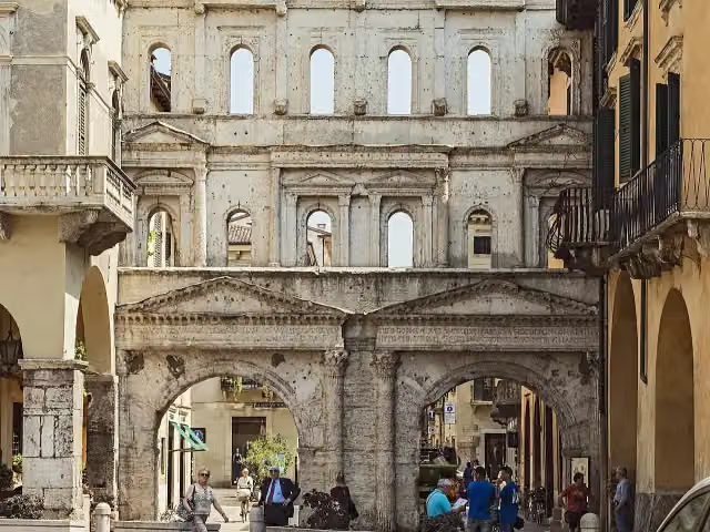 Porta BorsariAttraction · 287 m from the route
- 13
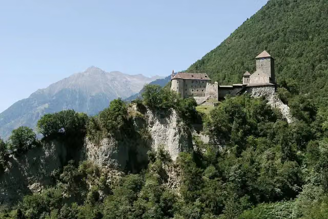 Tirol CastleCastle · 2.4 km from the route
- 14
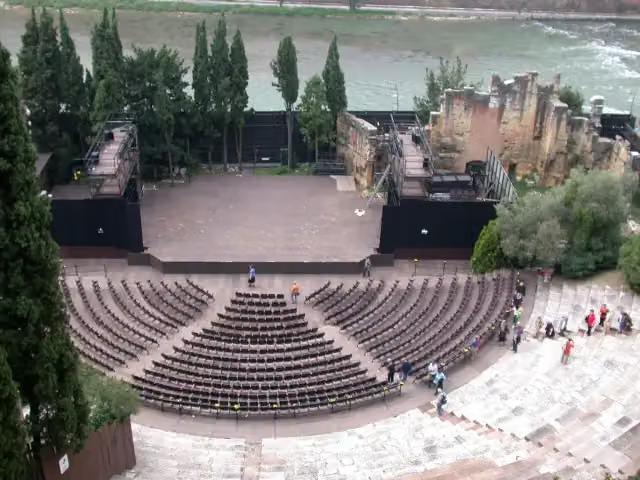 Teatro RomanoAttraction · 399 m from the route
- 15
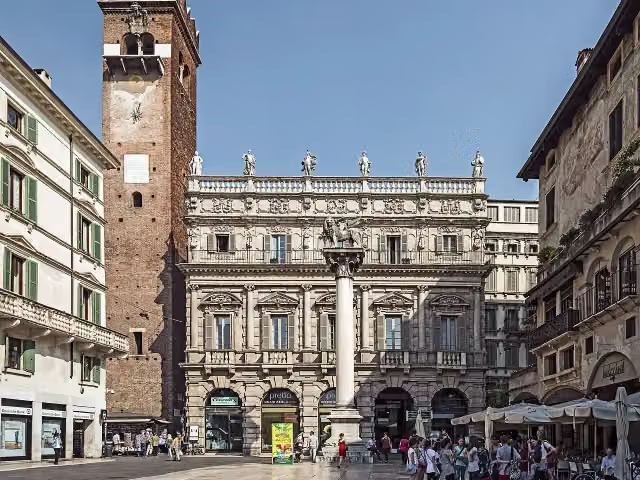 Herbs SquareAttraction · 103 m from the route
- 16
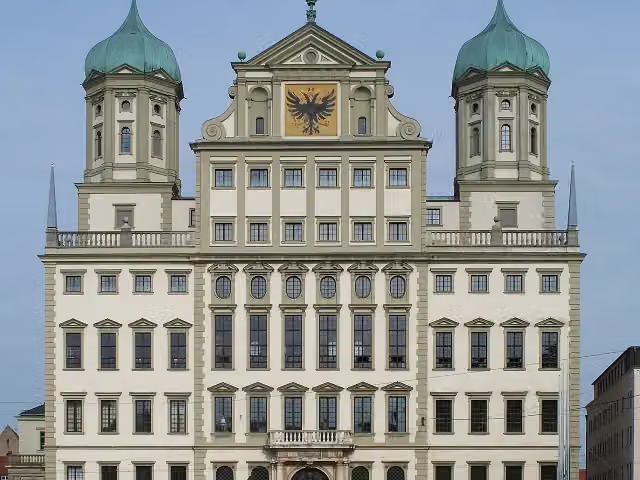 RathausAttraction · 1.4 km from the route
- 17
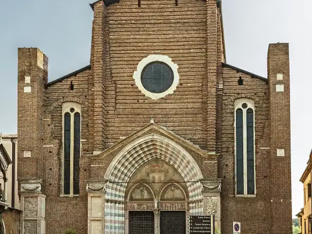 Chiesa di Sant'AnastasiaAttraction · 126 m from the route
- 18
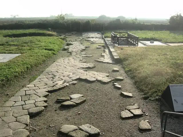 AltinoArchaeological site · 462 m from the route
- 19
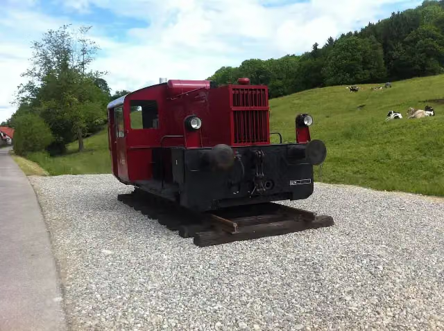 Köf II zur Erinnerung an das das Sachsenrieder BähnleMemorial · 6.9 km from the route
- 20
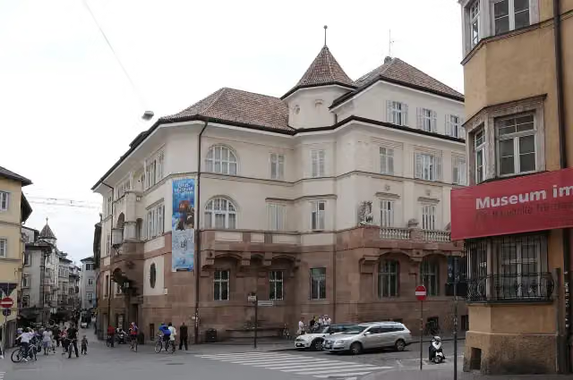 South Tyrol Museum of ArchaeologyMuseum · 3.8 km from the route
- 21
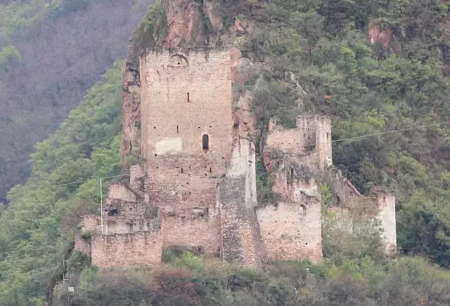 NeuhausCastle · 691 m from the route
- 22
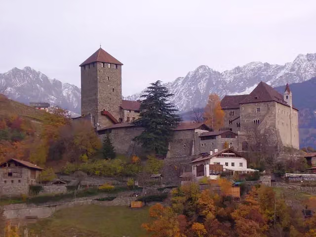 Schloss Tirol - Castel TiroloMuseum · 2.3 km from the route
- 23
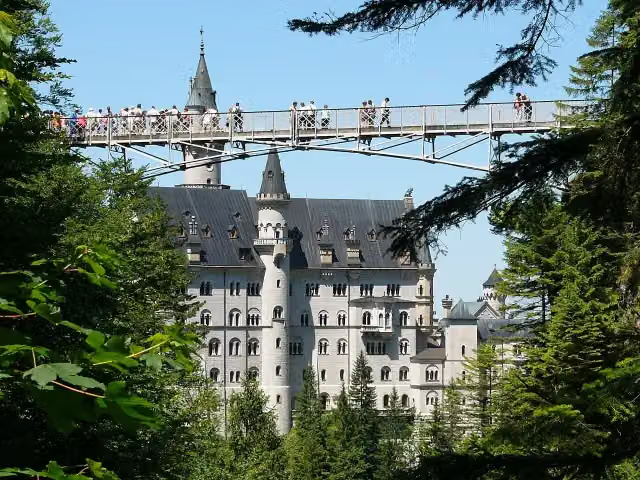 Queen Mary's BridgeAttraction · 3.3 km from the route
- 24
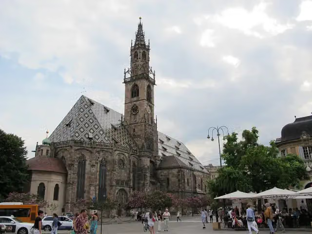 Our Lady of the AssumptionAttraction · 4 km from the route
- 25
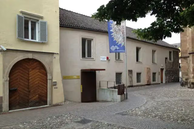 Tesoro del Duomo di Bolzano - Domschatzkammer BozenMuseum · 4.1 km from the route
Explore more
Frequently asked questions
How long is Via Claudia Augusta?
Via Claudia Augusta is 856 km long, in 5 parts of 171.2 km on average. Allow ± 11:25 h per part of riding: 15 km an hour, without breaks.
Is this route a circular ride?
No, the route runs from Donauwörth to Ostiglia/Venezia.
Where does this route start?
The route starts in Donauwörth.
How hard is this route?
Hard per stage.
Are there toilets along this route?
Yes, there are 55 public toilets within 100 m of the route.
Can you fill up with water along this route?
Yes, there are 290 water fountains and refill points within 100 m of the route.
What is there to see along this route?
Along the way you pass Local Museum, Rieder Tor and Museum of Town History.
Can I download this route as a GPX file?
Yes. Sign in with your Outdoor Pitstop account and choose Download GPX at the top of this page: 10 routes a month for free, unlimited with Pro.
Starting point
More routes from this place
Route data © OpenStreetMap contributors





