 Outdoor Pitstop
Cycle route · Oldambt · Updated on 5 November 2026
NAP-route cycle route
NAP-route is a cycle route of 376.2 km from Oldambt. Along the way you'll find 847 benches and picnic tables, 15 water fountains and refill points, 29 public toilets and 3 bike pumps.
i
i
The route step by step
From start to finish, with what you pass along the way and the distance in between.
- 376.2 km
- ± 3:10 h per stage
- ↑ 92 m · ↓ 87 m
- Moderate per stage
- From A to B
- National route
Start in Oldambt
0 km8.8 km · 6 benches

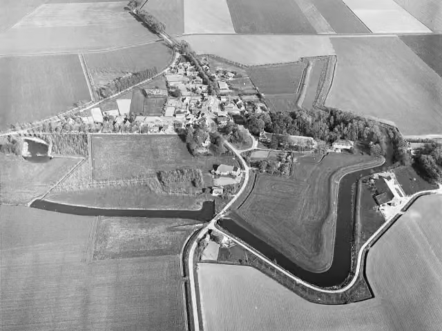
Oudeschans
8.8 kmArchaeological site
20.5 km · 17 benches
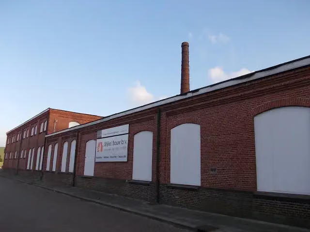
Voormalige Brandewijnfabriek Pfaff
29.4 kmRuins
3.9 km · 17 benches
Graaf Adolfmonument
33.3 kmMemorial
14.1 km · 17 benches
Gedenknaald
47.3 kmMemorial
40.2 km · 78 benches
Public toilet
87.5 km200 m · 5 benches
Public toilet
87.7 km970 m · 21 benches
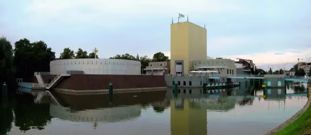
Groninger Museum
88.6 kmPublic toilet and water point
218 m · bench
Public toilet and water point
88.9 km44 km · 109 benches
Public toilet
132.9 km1.2 km · 6 benches
Water point
134.1 km192 m · 4 benches
Bike pump
134.3 km17.1 km · 41 benches
Public toilet
151.3 km13.2 km · 16 benches
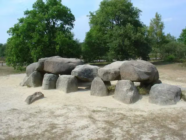
Hunebed D54 Havelterberg
164.6 kmArchaeological site · Audio story · 2 min
152 m · 2 benches
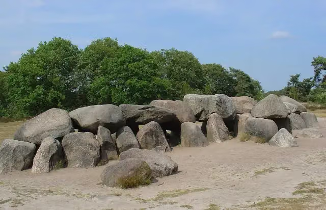
Hunebed D53 Havelterberg
164.7 kmArchaeological site
23.5 km · 36 benches
Water point
188.2 km278 m · bench
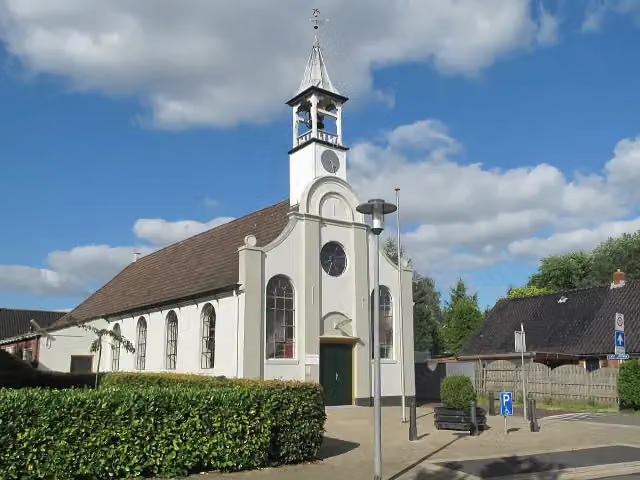
Museum Indruk
188.5 kmMuseum
10.9 km · 20 benches
Public toilet
199.4 km10.1 km · 12 benches
Public toilet and water point
209.5 km8.6 km · 7 benches
Public toilet
218.1 km5.3 km · 17 benches
Bike pump
223.3 km1.7 km · 24 benches
Memorial
1 km · 37 benches
Water point
226 km5.8 km · 34 benches
Bakkerijmuseum
231.8 kmMuseum
292 m · 10 benches
Anton Pieck Museum and 1 more
232.1 kmVoerman Museum Hatten and water point
24.5 km · 29 benches
2 water fountains and refill points
256.7 km1.9 km · 4 benches
Public toilet
258.5 km465 m · 2 benches
Public toilet
259 km2.3 km · bench
Public toilet
261.3 km1.4 km
2 public toilets
262.7 km
Show the other 28 steps
802 m
Public toilet
263.5 km177 m
Public toilet
263.6 km671 m
Public toilet
264.3 km3.4 km · bench
Public toilet
267.7 km9.1 km · 3 benches
Public toilet
276.8 km153 m
Public toilet
276.9 km630 m
Public toilet
277.6 km324 m
Public toilet
277.9 km10.5 km · 6 benches
Public toilet
288.3 km6.3 km · 3 benches
Public toilet
294.6 km6.5 km
Public toilet and water point
301.1 km6.6 km · 19 benches
Museum Spakenburg
307.6 kmMuseum
186 m · 23 benches
Spakenburgs Oorlogsmonument
307.8 kmWater point
11.1 km · 52 benches
Huize Schothorst
319 kmCastle
3.6 km · 21 benches
Museum Amersfoort
322.5 kmMuseum · Audio story · 2 min
1.3 km · 8 benches
Public toilet and 2 water fountains and refill points
323.8 km557 m · 7 benches
Borstbeeld van Johan van Oldenbarnevelt
324.4 kmMemorial
1.8 km · bench
Public toilet
326.1 km4.7 km · 12 benches
Public toilet
330.8 km8.6 km · 10 benches
Public toilet
339.4 km3 km · 2 benches
Water point
342.5 km6.2 km · 14 benches
Bike pump
348.7 km2.2 km · 6 benches
Water point
350.9 km2 km · 13 benches
Fort Blauwkapel
352.9 kmFort
10.9 km · 62 benches
Lancastermonument
363.9 kmMemorial
3.5 km · bench
Kasteel Groeneveld
367.4 kmMuseum · Audio story · 2 min
6.9 km · 7 benches
Kei van Lage Vuursche
374.3 kmAttraction
1.9 km · 2 benches
Finish
376.2 km
Longest stretch without a toilet: 87.5 kmBetween 0 km and 87.5 km there is no public toilet within 100 m of the route.
The route with the water points, toilets and sights within 100 m of it.
21 sights along the way
In the order you pass them. With the Outdoor Pitstop app you hear their story on the spot. 13 more along the route are on the map.
i
Photo: Capital Press Schiphol (Fotograaf) · Wikimedia Commons · CC BY-SA 4.0View the photo on Wikimedia CommonsArchaeological site · after 8.8 km
i
Photo: Hilda Morassi · Wikimedia Commons · CC BY-SA 3.0 nlView the photo on Wikimedia CommonsRuins · after 29.4 km
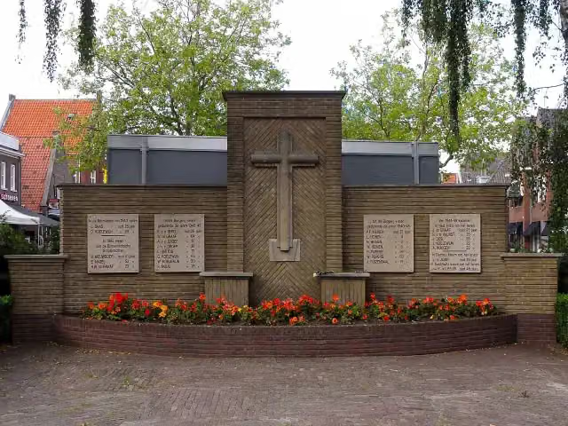
Graaf Adolfmonument
Memorial · after 33.3 km
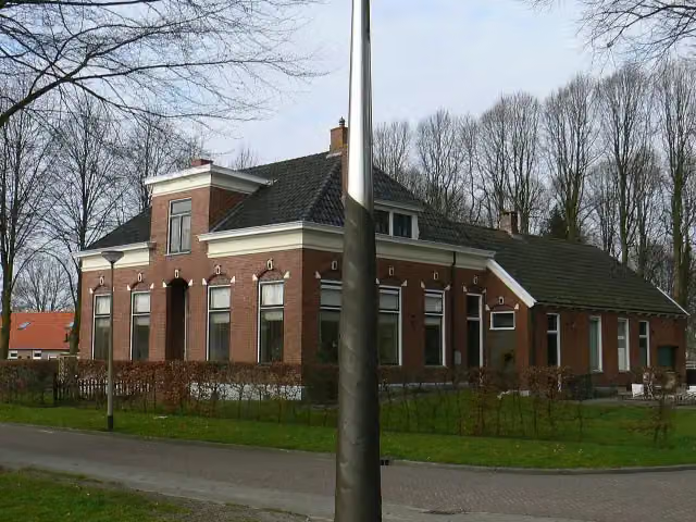
Memorial · after 47.3 km
 Audio story · 2 min
i
Photo: nl:Gebruiker:Ra-smit, colour adapted by User:Lyzzy · Wikimedia Commons · CC BY-SA 3.0View the photo on Wikimedia CommonsGroninger Museum
Museum · after 88.7 km
 Audio story · 2 min
Hunebed D54 Havelterberg
Archaeological site · after 164.6 km
 Story
Hunebed D53 Havelterberg
Archaeological site · after 164.7 km

Museum · after 188.5 km
Stages (8)
Elevation and terrain
- Up
- ↑ 92 m
- Down
- ↓ 87 m
- Highest point
- 17 m
- Lowest point
- -3 m
Nowhere steeper than 5%.
Elevation from AHN (Rijkswaterstaat), smoothed.
Way types
376.2 km in total- Cycle path: 181.6 km
- Road: 156.7 km
- Street: 25.7 km
- Busy road: 7 km
- Track: 1.7 km
- Path: 1.6 km
- Footpath (walk your bike): 300 m
- Unknown: 550 m
Surfaces
376.2 km in total- Asphalt: 172.1 km
- Paved: 114.5 km
- Gravel: 32 km
- Unpaved: 525 m
- Unknown: 55.9 km
About the cycle route NAP-route
Updated on 5 November 2026, with data from OpenStreetMap and the AHN.
Where do you cycle?
NAP-route is a cycle route of 376.2 km that starts in Oldambt. It does not end where it starts. You start in Bad Nieuweschans and finish in Utrecht. Along the way you pass Oudeschans (after 8.8 km), Voormalige Brandewijnfabriek Pfaff (after 29.4 km) and Graaf Adolfmonument (after 33.3 km).
How hard is the route?
You climb 92 m in total and descend 87 m. Allow ± 3:10 h per stage, without breaks. Per stage the level is moderate.
What roads do you cycle on?
The longest part is cycle path (181.6 km), road (156.7 km) and street (25.7 km). Of the surface, 172.1 km asphalt and 114.5 km paved. For 55.9 km the surface is not known.
Pitstops along the way
Within 100 metres of the route there are 847 benches and picnic tables, 15 water fountains and refill points, 29 public toilets and 3 bike pumps. The longest stretch without a toilet is 87.5 km. The Outdoor Pitstop app navigates you there.
The NAP-route (LF9) is a long-distance cycle route of just over 350 km from Bad Nieuweschans to Utrecht. Its name comes from Amsterdam Ordnance Datum (NAP): the route runs roughly along that level, with the land to the west below sea level and the land to the east above it. You ride via Winschoten and Slochteren to Groningen, past Norg and through the Drents-Friese Wold to Havelte, then through Meppel, Hasselt, Zwolle and Hattem to Elburg. From there it goes to Spakenburg and Amersfoort and on to Utrecht. An alternative ends in Lage Vuursche. We know of 29 toilets, 15 water taps and three bike pumps on the way.
Source: Wikipedia (CC BY-SA)
Cycle routes nearby
4Sights nearby
Within 10 km of the route, best known first.
- 1
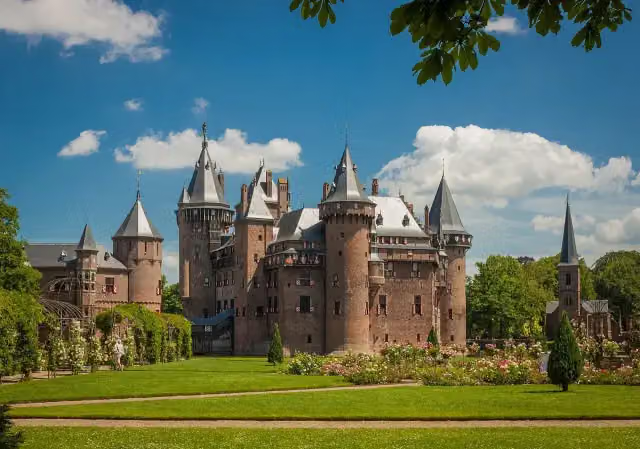 Kasteel de HaarAttraction · 10 km from the route
- 2
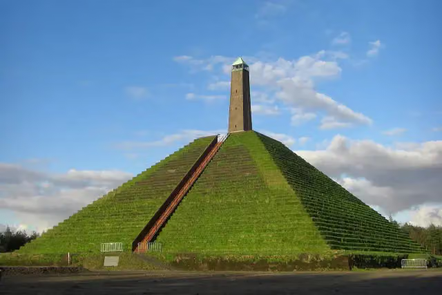 Pyramid of AusterlitzAttraction · 6.7 km from the route
- 3
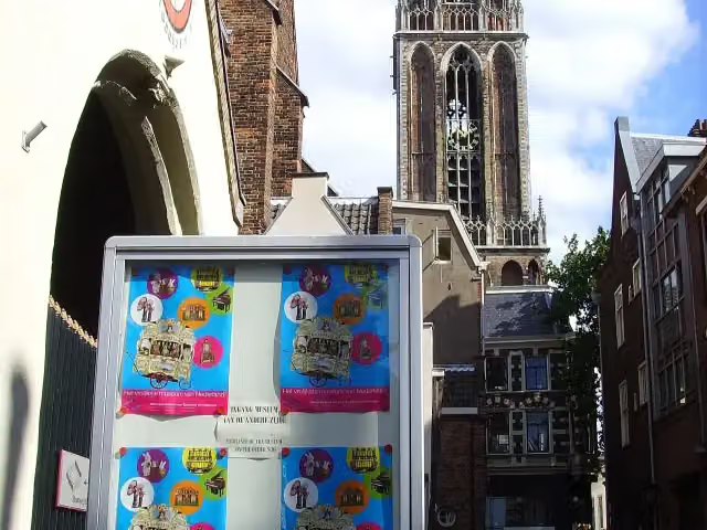 Museum SpeelklokMuseum · 2.9 km from the route
- 4
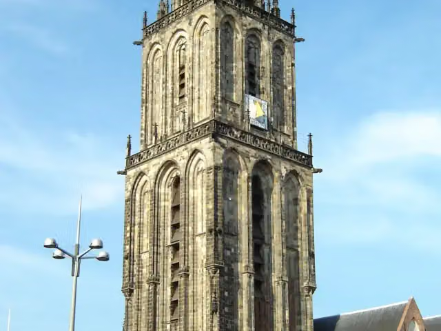 MartinitorenViewpoint · 469 m from the route
- 5
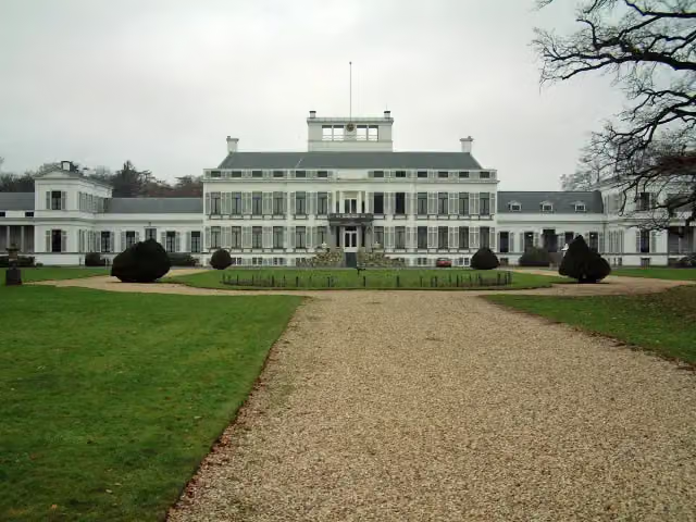 Paleis SoestdijkAttraction · 2 km from the route
- 6
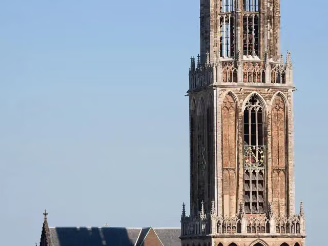 Dom towerAttraction · 2.8 km from the route
- 7
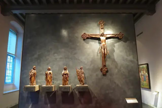 Museum CatharijneconventMuseum · 3.1 km from the route
- 8
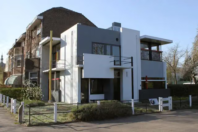 Rietveld-SchröderhuisMuseum · 3.2 km from the route
- 9
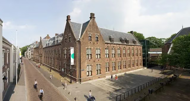 Centraal MuseumMuseum · 3.5 km from the route
- 10
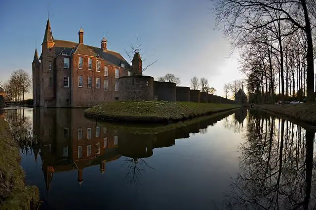 Slot ZuylenCastle · 4 km from the route
- 11
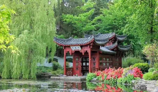 Hortus HarenAttraction · 4.3 km from the route
- 12
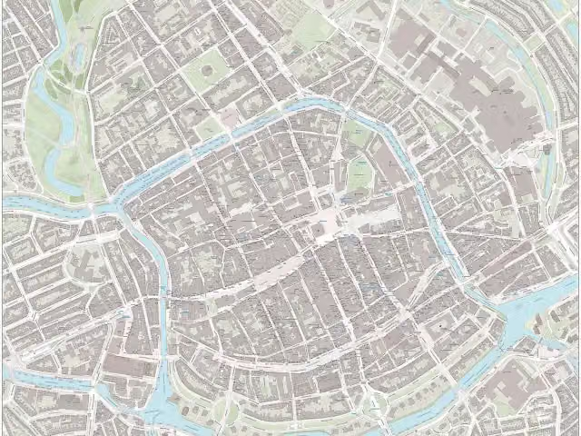 NoorderplantsoenArchaeological site · 1.4 km from the route
- 13
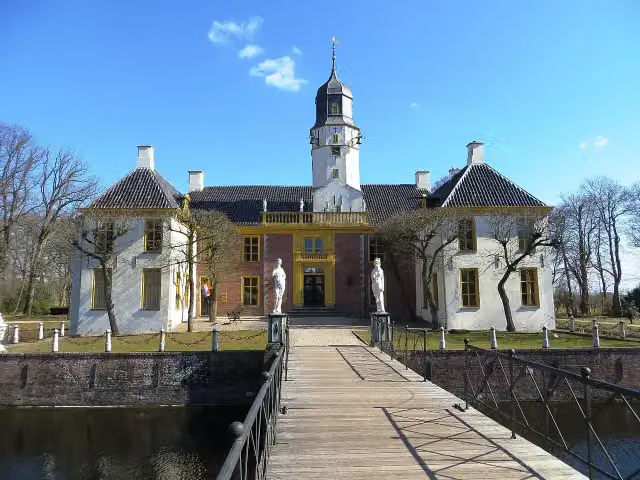 FraeylemaborgCastle · 139 m from the route
- 14
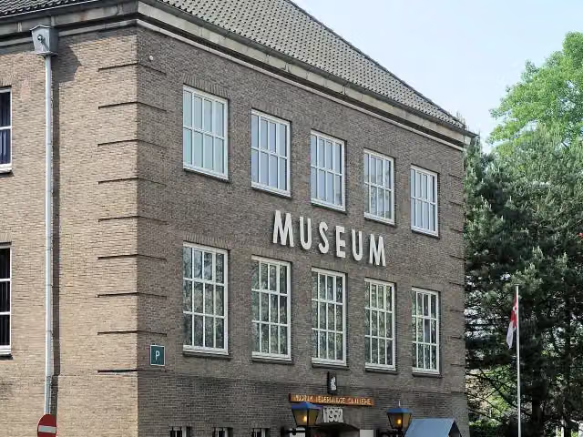 CavaleriemuseumMuseum · 161 m from the route
- 15
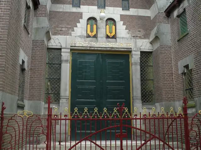 Synagoge GroningenMuseum · 212 m from the route
- 16
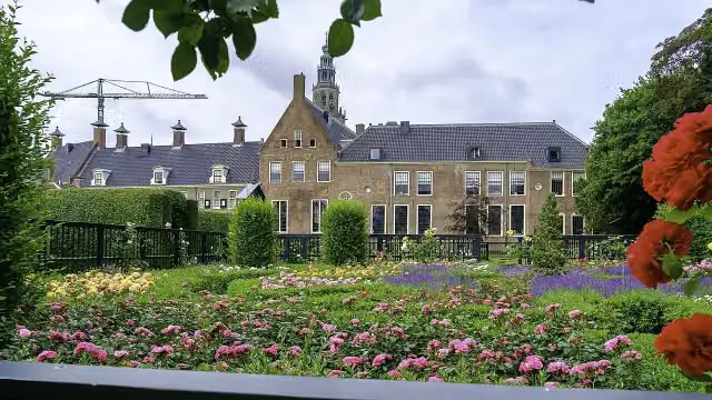 PrinsentuinAttraction · 597 m from the route
- 17
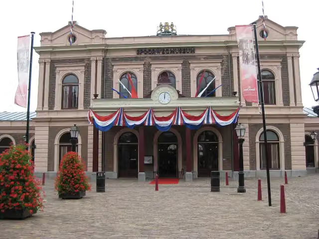 SpoorwegmuseumMuseum · 3 km from the route
- 18
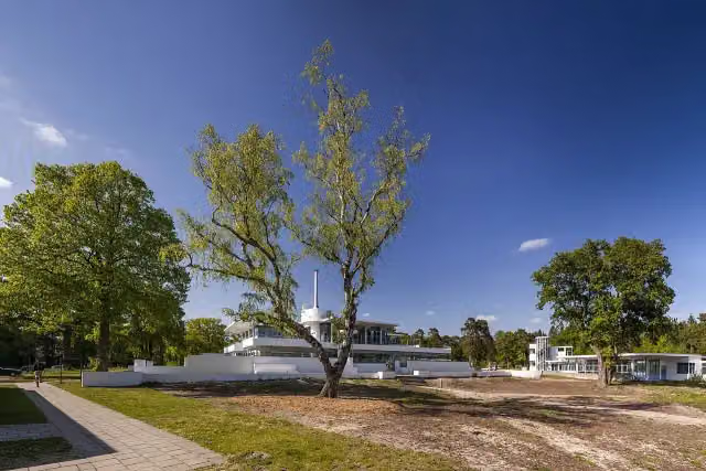 ZonnestraalAttraction · 3.2 km from the route
- 19
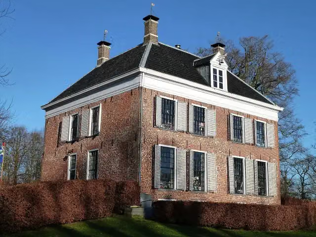 EnnemaborgAttraction · 4 km from the route
- 20
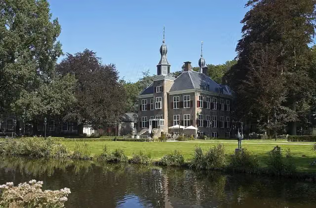 Kasteel De EssenburghCastle · 5.3 km from the route
- 21
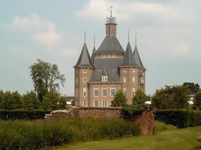 Kasteel HeemstedeCastle · 9 km from the route
- 22
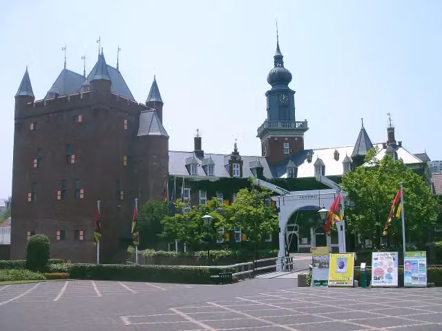 Kasteel NijenrodeCastle · 9.4 km from the route
- 23
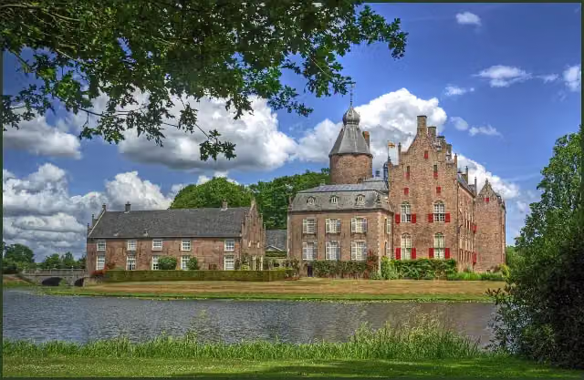 Kasteel RechterenCastle · 9.8 km from the route
- 24
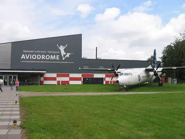 AviodromeMuseum · 9.9 km from the route
- 25
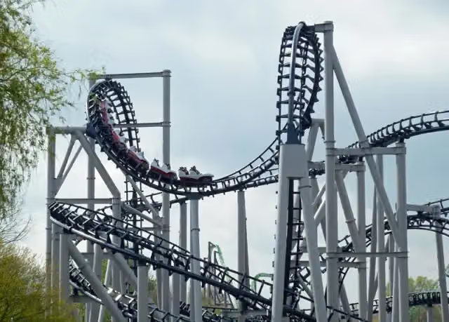 Xpress: Platform 13Attraction · 1.4 km from the route
Explore more
More cycle routes around Oldambt
Frequently asked questions
How long is NAP-route?
NAP-route is 376.2 km long, in 8 stages of 47 km on average. Allow ± 3:10 h per stage of riding: 15 km an hour, without breaks.
Is this route a circular ride?
No, the route runs from Bad Nieuweschans to Utrecht.
Where does this route start?
The route starts in Oldambt.
How hard is this route?
Moderate per stage, with 12 m per stage of climbing.
Are there toilets along this route?
Yes, there are 29 public toilets within 100 m of the route. The longest stretch without a toilet is 87.5 km.
Can you fill up with water along this route?
Yes, there are 15 water fountains and refill points within 100 m of the route.
What is there to see along this route?
Along the way you pass Oudeschans, Voormalige Brandewijnfabriek Pfaff and Graaf Adolfmonument.
Starting point
More routes from this place
Route data © OpenStreetMap contributors





