 Outdoor Pitstop
Cycle route · Het Hogeland · Updated on 5 November 2026
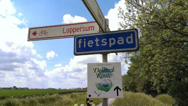
Internationale Dollard Route cycle route
Internationale Dollard Route is a cycle route of 75.8 km from Het Hogeland that starts and ends at the same spot. Along the way: 119 benches and picnic tables, 1 water point and 4 public toilets.
i
The route step by step
From start to finish, with what you pass along the way and the distance in between.
- 75.8 km
- ± 5:05 h
- ↑ 23 m · ↓ 20 m
- Hard
- Circular ride
- Regional route
This route is in pieces in OpenStreetMap, so there are no kilometres per pitstop. Along the way: 119 benches and picnic tables, 1 water point and 4 public toilets.
Follow these steps in the appThe route with the pitstops and sights within 100 m of it.
3 sights along the way
In the order you pass them. With the Outdoor Pitstop app you hear their story on the spot.

Observation tower
Attraction
Archaeological site
Elevation and terrain
- Up
- ↑ 23 m
- Down
- ↓ 20 m
- Highest point
- 8 m
- Lowest point
- -0 m
Nowhere steeper than 5%.
Elevation from AHN (Rijkswaterstaat), smoothed.
Way types
75.8 km in total- Road: 46.3 km
- Cycle path: 18.2 km
- Busy road: 6.5 km
- Street: 2.3 km
- Track: 1.4 km
- Path: 900 m
Surfaces
75.8 km in total- Asphalt: 54 km
- Paved: 19.7 km
- Gravel: 875 m
- Unknown: 975 m
About the cycle route Internationale Dollard Route
Updated on 5 November 2026, with data from OpenStreetMap and the AHN.
Where do you cycle?
Internationale Dollard Route is a circular ride of 75.8 km from Het Hogeland: it starts and ends in the same place.
How hard is the route?
You climb 23 m in total and descend 20 m. Allow ± 5:05 h, without breaks. The level is hard.
What roads do you cycle on?
The longest part is road (46.3 km), cycle path (18.2 km) and busy road (6.5 km). Of the surface, 54 km asphalt and 19.7 km paved. For 975 m the surface is not known.
Pitstops along the way
Within 100 metres of the route there are 119 benches and picnic tables, 1 water point and 4 public toilets. The Outdoor Pitstop app navigates you there.
The International Dollard Route is a cycle route around the Dollard, through the Netherlands and Germany; the part in our data is almost 76 km long and lies in the north of Groningen province, in the municipalities of Het Hogeland, Eemsdelta and Oldambt. You ride past villages such as Middelstum, Usquert, Warffum, Uithuizen and Zeerijp, through the Middelstummerbos, past the site of the former Borg Eelsum and on to Nieuwe Statenzijl on the border. Almost all of it is asphalt or paved and it is flat. There are 119 benches along the way, but we know of only four toilets and one water tap.
Cycle routes nearby
2Sights nearby
Within 10 km of the route, best known first.
- 1
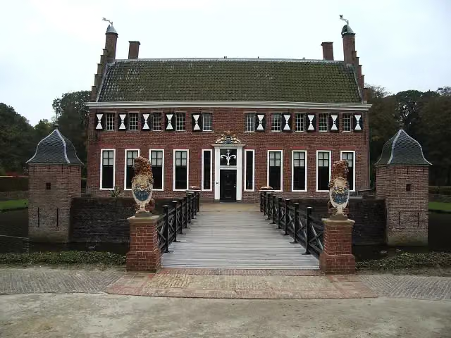 MenkemaborgCastle · 162 m from the route
- 2
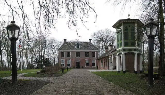 AllersmaborgAttraction · 8.7 km from the route
- 3
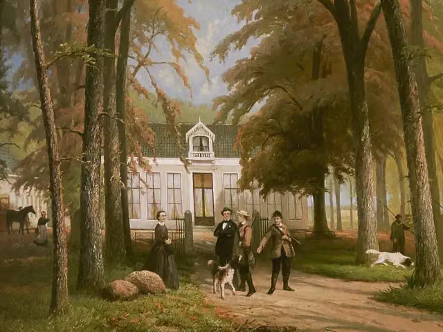 RensumaborgCastle · 424 m from the route
- 4
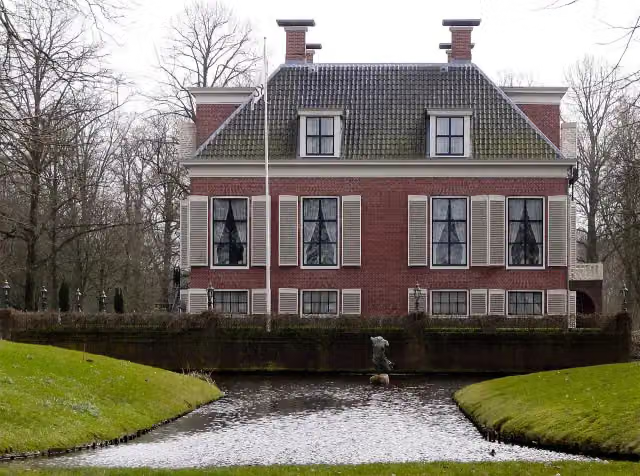 BreedenborgCastle · 1.3 km from the route
- 5
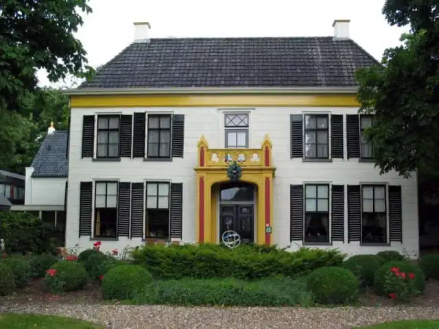 EkensteinCastle · 1.5 km from the route
- 6
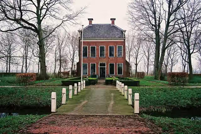 RusthovenCastle · 1.7 km from the route
- 7
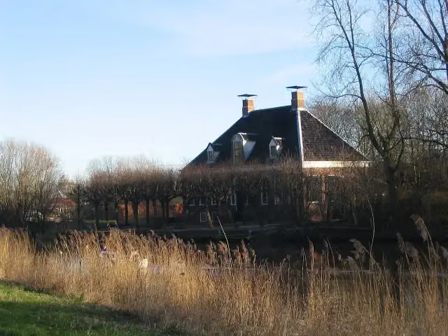 VliethovenCastle · 1.3 km from the route
- 8
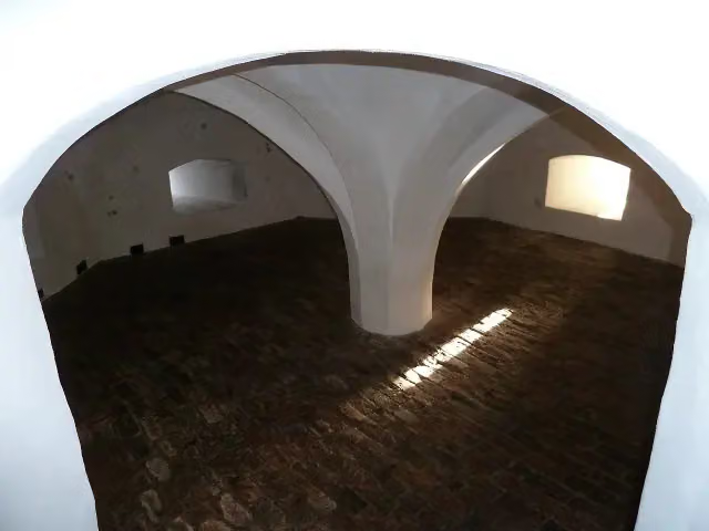 Borg EwsumCastle · 258 m from the route
- 9
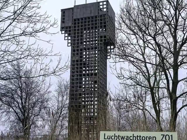 Luchtwachttoren 7O1Observation tower · 9.5 km from the route
- 10
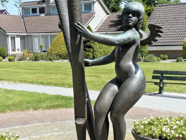 Arp SchnitgerMemorial · 1 km from the route
- 11
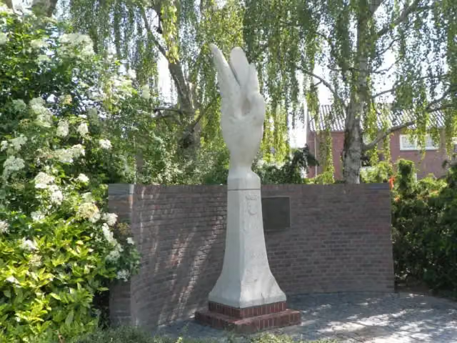 BevrijdingsmonumentMemorial · 4.5 km from the route
- 12
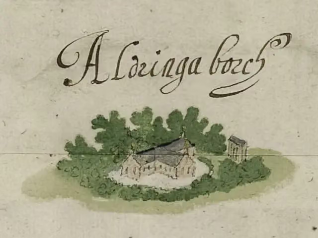 AldringaborgArchaeological site · 8.9 km from the route
- 13
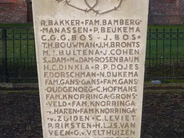 1940-1945Memorial · 356 m from the route
- 14
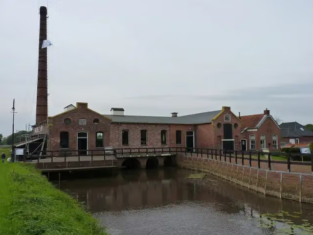 Museum Stoomgemaal WinschotenMuseum · 9.9 km from the route
- 15
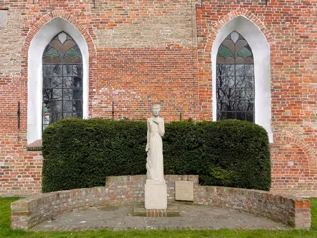 VerzetsmonumentMemorial · 3.6 km from the route
- 16
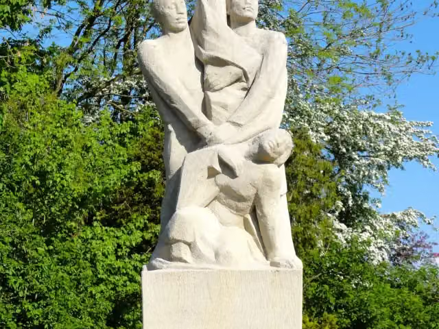 OngebrokenMemorial · 3.8 km from the route
- 17
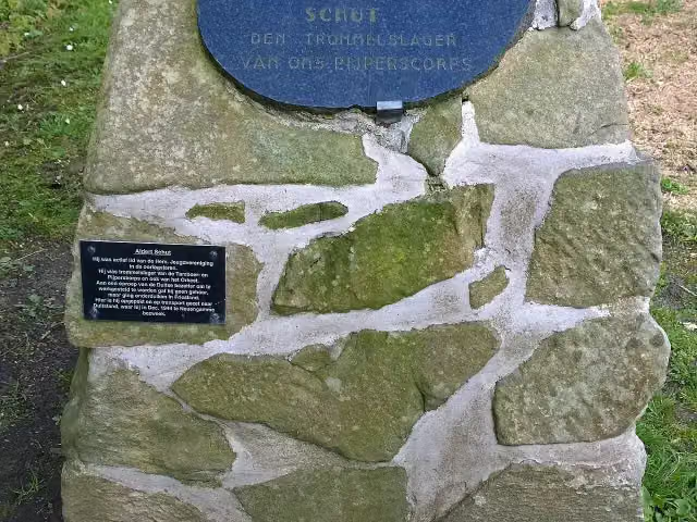 MemorialMemorial · 4.4 km from the route
- 18
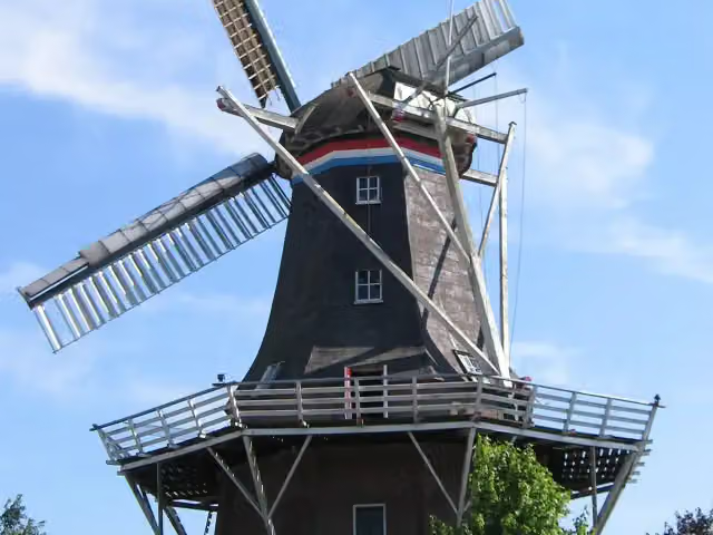 De SterMuseum · 4.5 km from the route
- 19
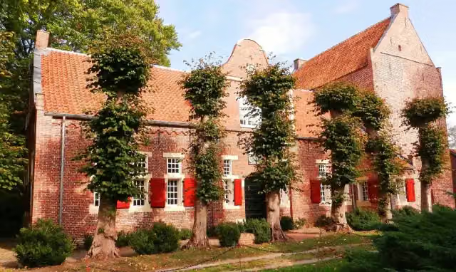 Steinhaus BunderheeAttraction · 5.9 km from the route
- 20
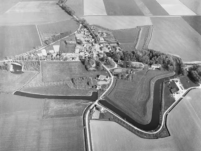 OudeschansArchaeological site · 9.6 km from the route
- 21
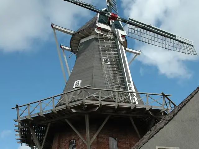 Rysumer MühleAttraction · 9.9 km from the route
- 22
 Voormalige locatie FraamborgArchaeological site · 483 m from the route
- 23Voormalige locatie Borg DuirsumArchaeological site · 848 m from the route
- 24Voormalige locatie Borg JuckemaArchaeological site · 999 m from the route
- 25Voormalige locatie AlberdaheerdArchaeological site · 2.2 km from the route
Explore more
Frequently asked questions
How long is Internationale Dollard Route?
Internationale Dollard Route is 75.8 km long. Allow ± 5:05 h of riding: 15 km an hour, without breaks.
Is this route a circular ride?
Yes, the route starts and ends at the same spot.
Where does this route start?
The route starts in Het Hogeland.
How hard is this route?
Hard, with 23 m of climbing.
Are there toilets along this route?
Yes, there are 4 public toilets within 100 m of the route.
Can you fill up with water along this route?
Yes, there are 1 water point within 100 m of the route.
What is there to see along this route?
Along the way you pass Observation tower, St-Hippolytuskerk and Voormalige locatie Borg Eelsum.
Start place
More routes from this place
Route data © OpenStreetMap contributors





