 Outdoor Pitstop
Cycle route · Eemsdelta · Updated on 5 November 2026
LF Kustroute - 02 - Delfzijl - Ulrum cycle route
LF Kustroute - 02 - Delfzijl - Ulrum is a cycle route of 65.8 km from Eemsdelta. Along the way: 110 benches and picnic tables, 3 water fountains and refill points, 1 public toilet and 1 bike pump.
i
The route step by step
From start to finish, with what you pass along the way and the distance in between.
- 65.8 km
- ± 4:25 h
- ↑ 13 m · ↓ 12 m
- Hard
- From A to B
- National route
- Colour of the signs
Start in Eemsdelta
0 km488 m · 15 benches
Water point
488 m310 m · 6 benches
Public toilet and bike pump
798 m10.2 km · 12 benches

Voormalige locatie Borg Luinga
11 kmArchaeological site
17 km · 23 benches
Water point
28 km1.1 km · 7 benches
Arp Schnitger
29.1 kmMemorial
34.3 km · 41 benches
Water point
63.4 km2.4 km · 2 benches
Finish
65.8 km
Longest stretch without a toilet: 65 kmBetween 798 m and 65.8 km there is no public toilet within 100 m of the route.
The route with the pitstops and sights within 100 m of it.
2 sights along the way
In the order you pass them. With the Outdoor Pitstop app you hear their story on the spot.

Archaeological site · after 11 km
Arp Schnitger
Memorial · after 29.1 km
Elevation and terrain
- Up
- ↑ 13 m
- Down
- ↓ 12 m
- Highest point
- 7 m
- Lowest point
- -0 m
Nowhere steeper than 5%.
Elevation from AHN (Rijkswaterstaat), smoothed.
Way types
65.8 km in total- Road: 37.4 km
- Street: 13 km
- Cycle path: 9.7 km
- Track: 3.9 km
- Busy road: 1.8 km
Surfaces
65.8 km in total- Asphalt: 52.7 km
- Paved: 9 km
- Unknown: 4 km
About the cycle route LF Kustroute - 02 - Delfzijl - Ulrum
Updated on 5 November 2026, with data from OpenStreetMap and the AHN.
Where do you cycle?
LF Kustroute - 02 - Delfzijl - Ulrum is a cycle route of 65.8 km that starts in Eemsdelta. It does not end where it starts. You start in Delfzijl and finish in Ulrum. Along the way you pass Voormalige locatie Borg Luinga (after 11 km) and Arp Schnitger (after 29.1 km).
How hard is the route?
The route is almost flat. You climb 13 m in total and descend 12 m. Allow ± 4:25 h, without breaks. The level is hard.
What roads do you cycle on?
The longest part is road (37.4 km), street (13 km) and cycle path (9.7 km). Of the surface, 52.7 km asphalt and 9 km paved. For 4 km the surface is not known.
Pitstops along the way
Within 100 metres of the route there are 110 benches and picnic tables, 3 water fountains and refill points, 1 public toilet and 1 bike pump. You can fill your bottle after 488 m, after 28 km and after 63.4 km. The longest stretch without a toilet is 65 km. The Outdoor Pitstop app navigates you there.
This stage of the LF Kustroute is a cycle route of almost 66 km from Delfzijl to Ulrum, through the municipalities of Eemsdelta and Het Hogeland. You follow the Wadden Sea through Bierum, Spijk and Uithuizen, Usquert and Noordpolderzijl to Pieterburen, then through Leens to Ulrum. On the way you pass the memorial to organ builder Arp Schnitger and the site of the lost Borg Luinga. It is flat and mostly asphalt, often on roads. We know of one toilet, three water taps and one bike pump along the route.
Source: Wikipedia (CC BY-SA)
Part of LF Kustroute
Website of the routeCycle routes nearby
3Sights nearby
Within 10 km of the route, best known first.
- 1
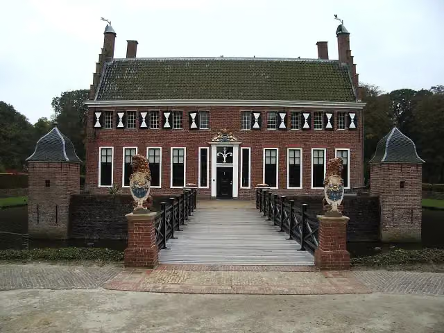 MenkemaborgCastle · 196 m from the route
- 2
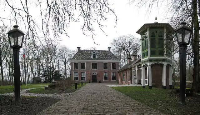 AllersmaborgAttraction · 5.2 km from the route
- 3
 RensumaborgCastle · 1.8 km from the route
- 4
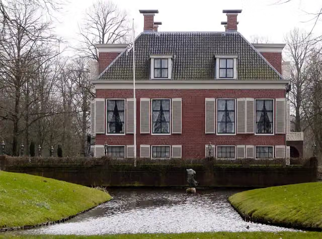 BreedenborgCastle · 1.6 km from the route
- 5
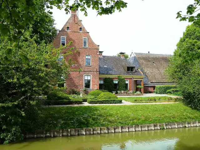 PiloersemaborgAttraction · 9.3 km from the route
- 6
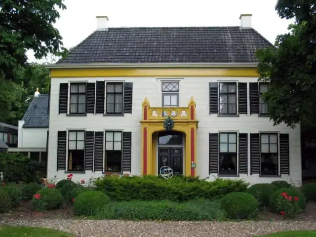 EkensteinCastle · 7.1 km from the route
- 7
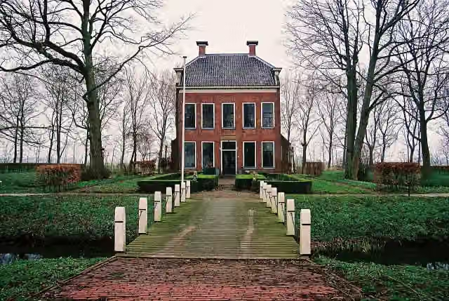 RusthovenCastle · 7.4 km from the route
- 8
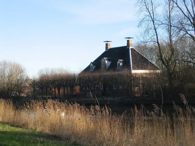 VliethovenCastle · 1.6 km from the route
- 9
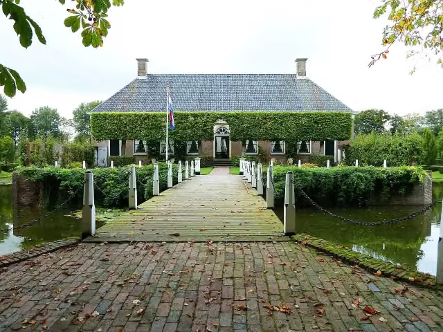 Borg VerhildersumCastle · 230 m from the route
- 10
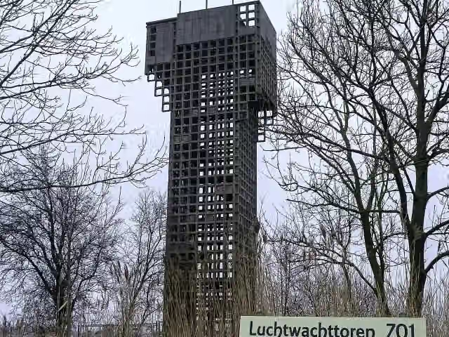 Luchtwachttoren 7O1Observation tower · 1.6 km from the route
- 11
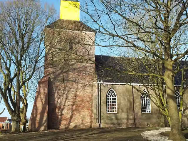 Kerk van HornhuizenViewpoint · 3 km from the route
- 12
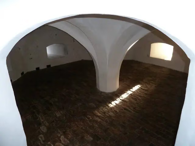 Borg EwsumCastle · 5.9 km from the route
- 13
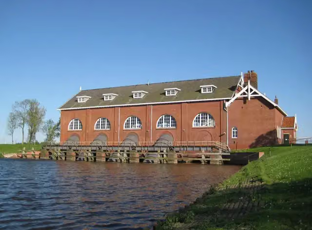 Gemaal De WaterwolfAttraction · 5.3 km from the route
- 14
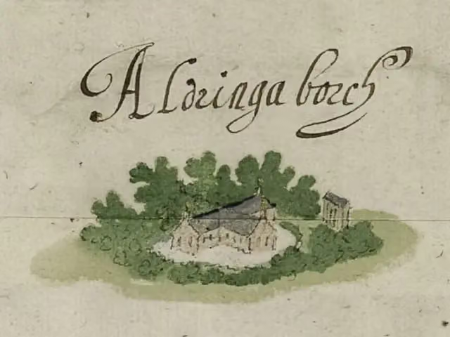 AldringaborgArchaeological site · 6.3 km from the route
- 15
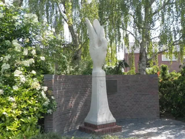 BevrijdingsmonumentMemorial · 7.3 km from the route
- 16
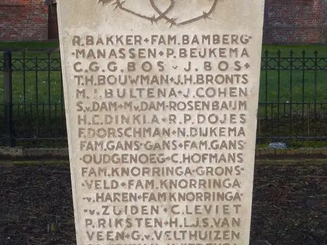 1940-1945Memorial · 189 m from the route
- 17
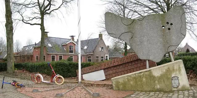 MemorialMemorial · 6.2 km from the route
- 18
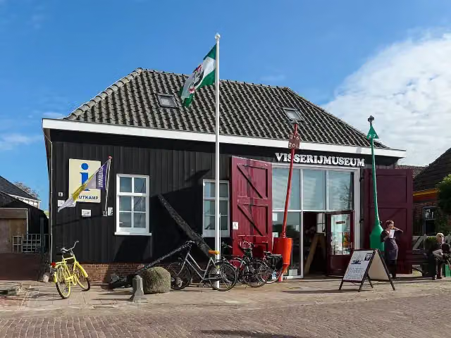 Visserijmuseum ZoutkampMuseum · 3.6 km from the route
- 19
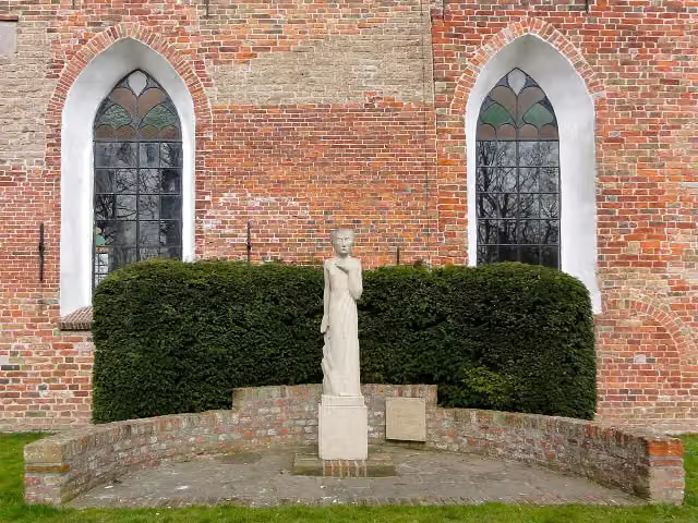 VerzetsmonumentMemorial · 4.8 km from the route
- 20
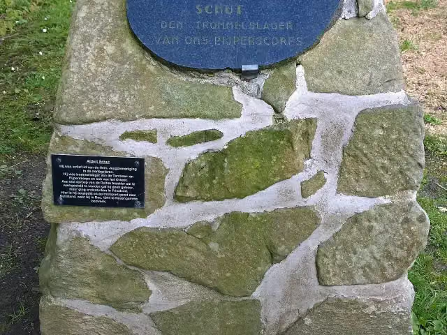 MemorialMemorial · 7.1 km from the route
- 21
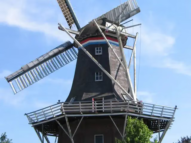 De SterMuseum · 7.3 km from the route
- 22
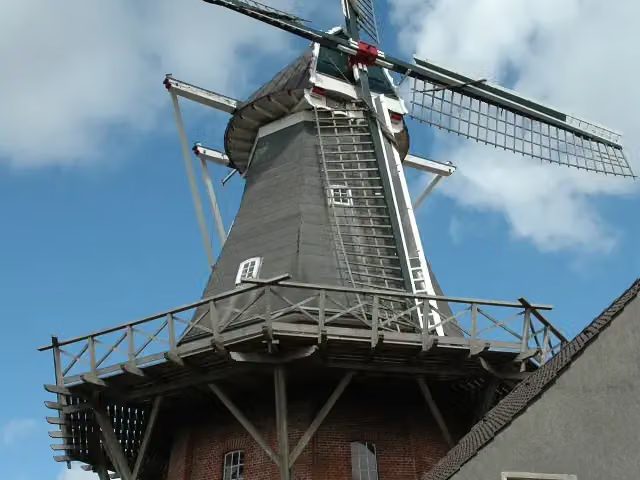 Rysumer MühleAttraction · 8.5 km from the route
- 23
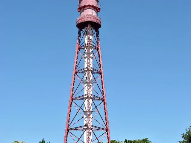 Campener LighthouseAttraction · 8.5 km from the route
- 24
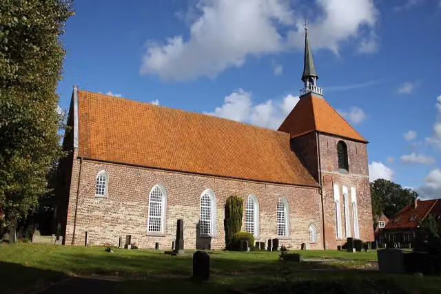 Rysumer KircheAttraction · 8.6 km from the route
- 25Museum WierdenlandMuseum · 6.1 km from the route
Explore more
Frequently asked questions
How long is LF Kustroute - 02 - Delfzijl - Ulrum?
LF Kustroute - 02 - Delfzijl - Ulrum is 65.8 km long. Allow ± 4:25 h of riding: 15 km an hour, without breaks.
Is this route a circular ride?
No, the route runs from Delfzijl to Ulrum.
Where does this route start?
The route starts in Eemsdelta.
How hard is this route?
Hard, with 13 m of climbing.
Are there toilets along this route?
Yes, there are 1 public toilet within 100 m of the route. The longest stretch without a toilet is 65 km.
Can you fill up with water along this route?
Yes, there are 3 water fountains and refill points within 100 m of the route.
What is there to see along this route?
Along the way you pass Voormalige locatie Borg Luinga and Arp Schnitger.
Start place
More routes from this place
Route data © OpenStreetMap contributors





