 Outdoor Pitstop
Cycle route · Bunschoten · Updated on 6 November 2026
NAP-route - 07 - Spakenburg - Utrecht cycle route
NAP-route - 07 - Spakenburg - Utrecht is a cycle route of 45.5 km from Bunschoten. Along the way you'll find 165 benches and picnic tables, 5 water fountains and refill points, 4 public toilets and 1 bike pump.
i
i
The route step by step
From start to finish, with what you pass along the way and the distance in between.
- 45.5 km
- ± 3:00 h
- ↑ 16 m · ↓ 16 m
- Moderate
- From A to B
- National route
Start in Bunschoten
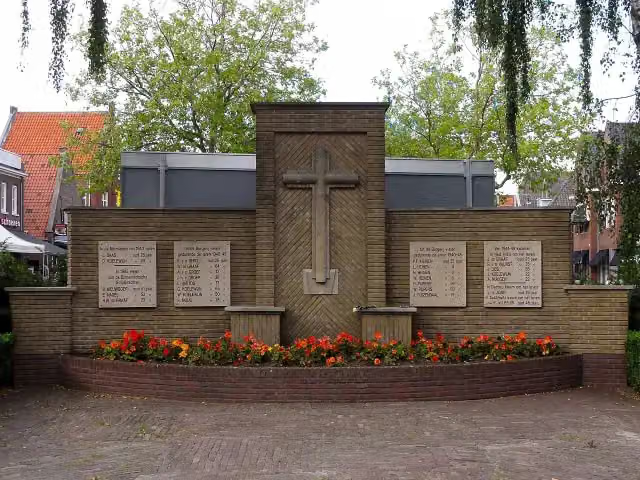
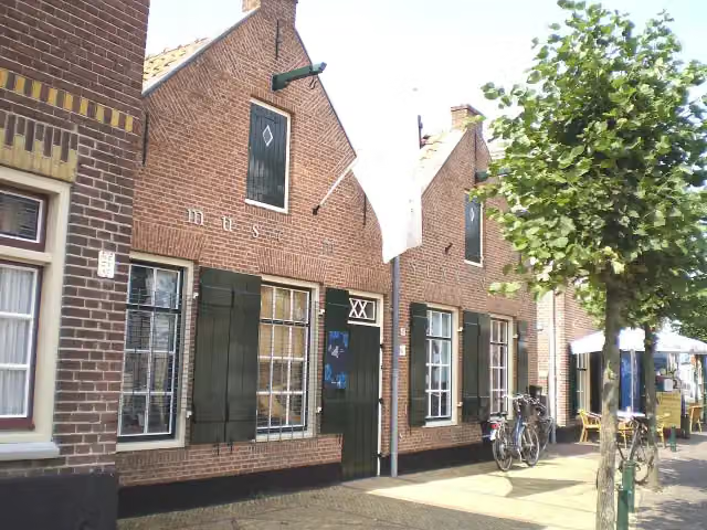
0 kmAt the start: Museum Spakenburg, Spakenburgs Oorlogsmonument and water point.
11.3 km · 52 benches

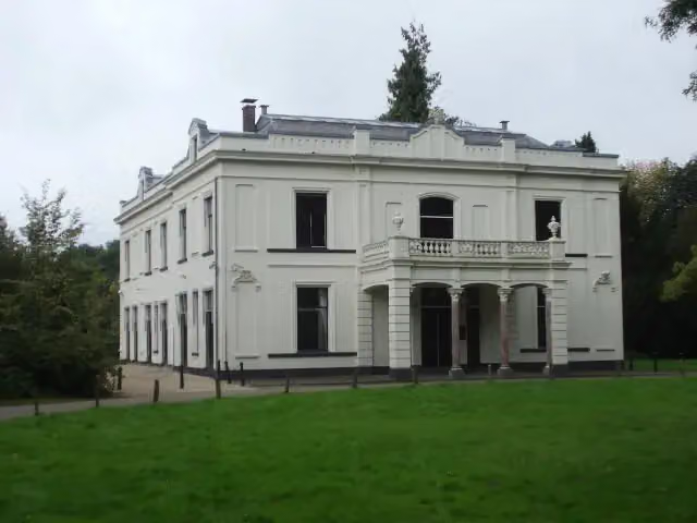
Huize Schothorst
11.3 kmCastle
3.6 km · 21 benches
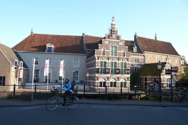
Museum Amersfoort
14.8 kmMuseum · Audio story · 2 min
1.3 km · 8 benches
Public toilet and 2 water fountains and refill points
16.1 km557 m · 7 benches
Borstbeeld van Johan van Oldenbarnevelt
16.7 kmMemorial
1.8 km · bench
Public toilet
18.4 km4.7 km · 12 benches
Public toilet
23.1 km8.6 km · 10 benches
Public toilet
31.7 km3 km · 2 benches
Water point
34.8 km6.2 km · 14 benches
Bike pump
41 km2.2 km · 6 benches
Water point
43.2 km2 km · 13 benches
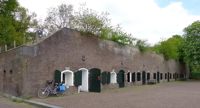
Fort Blauwkapel
45.2 kmFort
238 m · 6 benches
Finish
45.5 km
Longest stretch without a toilet: 16.1 kmBetween 0 km and 16.1 km there is no public toilet within 100 m of the route.
The route with the pitstops and sights within 100 m of it.
6 sights along the way
In the order you pass them. With the Outdoor Pitstop app you hear their story on the spot.
 Story
Museum Spakenburg
Museum · after 0 m
- Story
Spakenburgs Oorlogsmonument
Memorial · after 139 m
i
Photo: HenkvD · Wikimedia Commons · CC BY-SA 3.0View the photo on Wikimedia CommonsCastle · after 11.3 km
 Audio story · 2 min
i
Photo: Jane023 (talk) 12:56, 6 September 2010 (UTC) · Wikimedia Commons · CC BY-SA 3.0 nlView the photo on Wikimedia CommonsMuseum Amersfoort
Museum · after 14.8 km
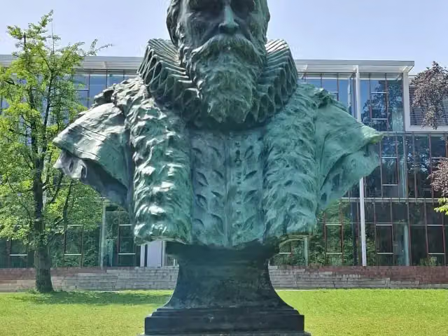
Memorial · after 16.7 km
Fort Blauwkapel
Fort · after 45.2 km
Elevation and terrain
- Up
- ↑ 16 m
- Down
- ↓ 16 m
- Highest point
- 17 m
- Lowest point
- 0 m
Nowhere steeper than 5%.
Elevation from AHN (Rijkswaterstaat), smoothed.
Way types
45.5 km in total- Cycle path: 27.1 km
- Road: 10.8 km
- Street: 7.3 km
- Footpath (walk your bike): 125 m
Surfaces
45.5 km in total- Asphalt: 22.6 km
- Paved: 11.3 km
- Gravel: 5.8 km
- Unpaved: 525 m
- Unknown: 5.1 km
About the cycle route NAP-route - 07 - Spakenburg - Utrecht
Updated on 6 November 2026, with data from OpenStreetMap and the AHN.
Where do you cycle?
NAP-route - 07 - Spakenburg - Utrecht is a cycle route of 45.5 km that starts in Bunschoten. It does not end where it starts. Along the way you pass Museum Spakenburg (after 0 m), Spakenburgs Oorlogsmonument (after 139 m) and Huize Schothorst (after 11.3 km).
How hard is the route?
The route is almost flat. You climb 16 m in total and descend 16 m. Allow ± 3:00 h, without breaks. The level is moderate.
What roads do you cycle on?
The longest part is cycle path (27.1 km), road (10.8 km) and street (7.3 km). Of the surface, 22.6 km asphalt and 11.3 km paved. For 5.1 km the surface is not known.
Pitstops along the way
Within 100 metres of the route there are 165 benches and picnic tables, 5 water fountains and refill points, 4 public toilets and 1 bike pump. You can fill your bottle at the start, after 16.1 km, after 34.8 km and after 43.2 km. The longest stretch without a toilet is 16.1 km. The Outdoor Pitstop app navigates you there.
This stage of the NAP-route (LF9) is a cycle route of about 46 km from Spakenburg to Utrecht, the last stage of the LF9. You start at Museum Spakenburg, ride past Huize Schothorst and Museum Amersfoort through Amersfoort, and then through the woods of Birkhoven, Hees and Pijnenburg by way of Hollandsche Rading, Maartensdijk and Groenekan to Utrecht, passing Fort Blauwkapel. It is flat and more than half is cycle path. We know of four toilets, five water taps and one bike pump on the way. The LF9 starts in Bad Nieuweschans and links up with the LF4 in Utrecht.
Source: Wikipedia (CC BY-SA)
Part of NAP-route
Website of the routeCycle routes nearby
6- LF Zuiderzeeroute - 07 - Elburg - SpakenburgModerate · From A to B52 km
- LF Zuiderzeeroute - 08 - Spakenburg - AmsterdamModerate · From A to B50.3 km
- NAP-route - 06 - Elburg - SpakenburgModerate · From A to B50.2 km
- NAP-route - 07alt - Spakenburg - Lage VuurscheEasy · From A to B23 km
- Doorfietsroute Amersfoort - BunschotenEasy · From A to B9.5 km
- LF Zuiderzeeroute - 08alt - Eemdijk - EemnesEasy · From A to B9.3 km
Sights nearby
Within 10 km of the route, best known first.
- 1
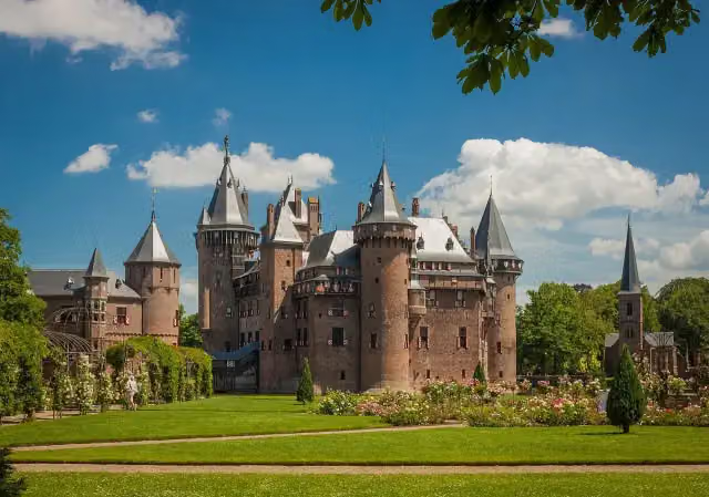 Kasteel de HaarAttraction · 10 km from the route
- 2
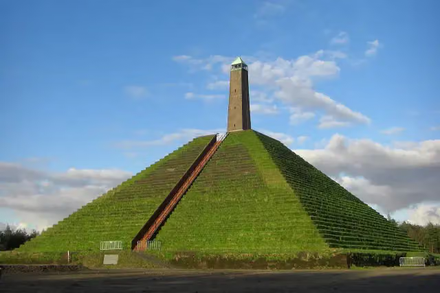 Pyramid of AusterlitzAttraction · 6.7 km from the route
- 3
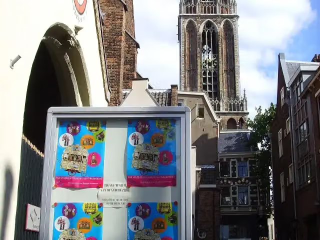 Museum SpeelklokMuseum · 2.9 km from the route
- 4
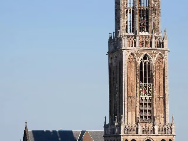 Dom towerAttraction · 2.8 km from the route
- 5
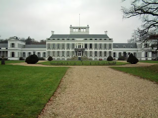 Paleis SoestdijkAttraction · 2.9 km from the route
- 6
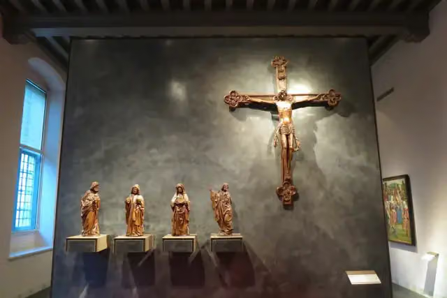 Museum CatharijneconventMuseum · 3.1 km from the route
- 7
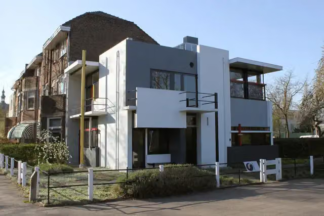 Rietveld-SchröderhuisMuseum · 3.2 km from the route
- 8
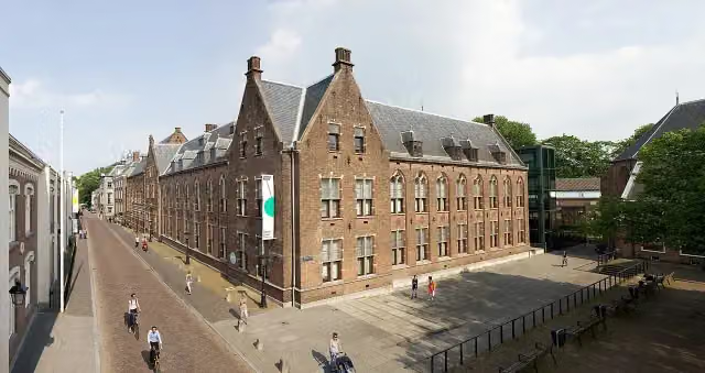 Centraal MuseumMuseum · 3.5 km from the route
- 9
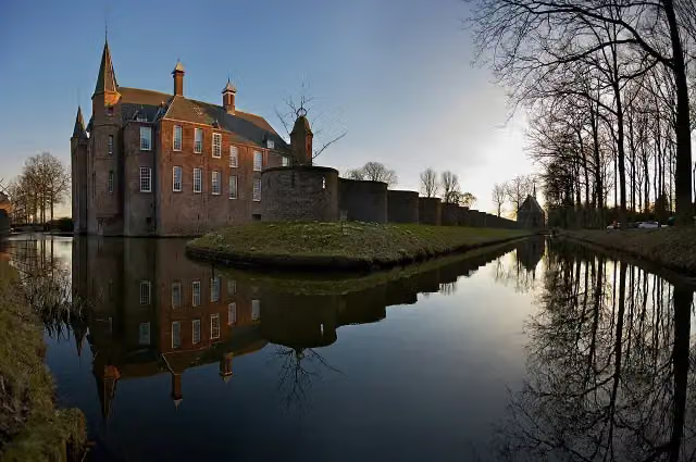 Slot ZuylenCastle · 4 km from the route
- 10
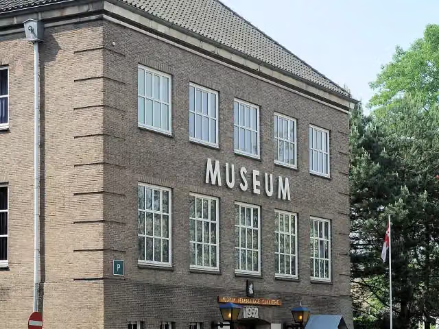 CavaleriemuseumMuseum · 161 m from the route
- 11
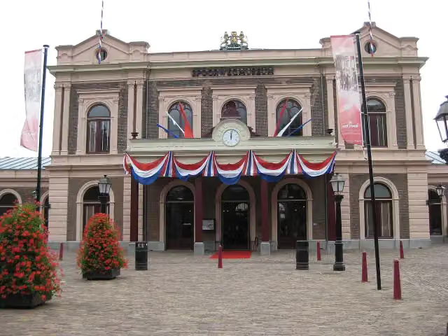 SpoorwegmuseumMuseum · 3 km from the route
- 12
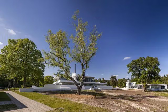 ZonnestraalAttraction · 3.2 km from the route
- 13
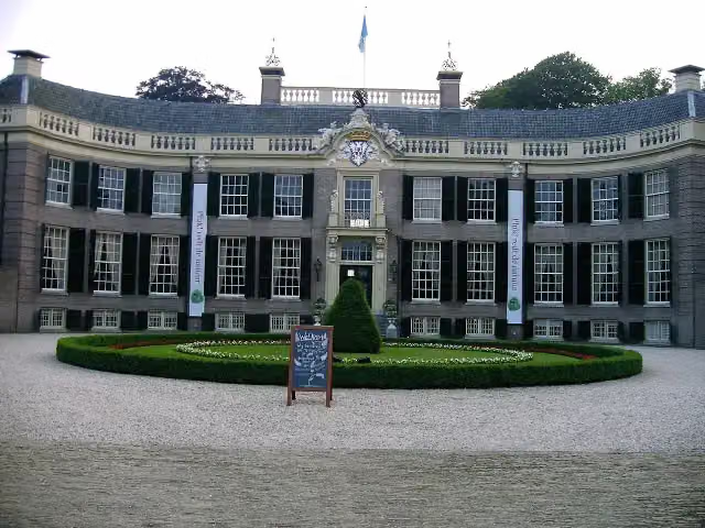 Kasteel GroeneveldMuseum · 4.8 km from the route
- 14
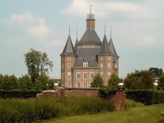 Kasteel HeemstedeCastle · 9 km from the route
- 15
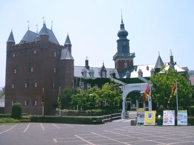 Kasteel NijenrodeCastle · 9.4 km from the route
- 16
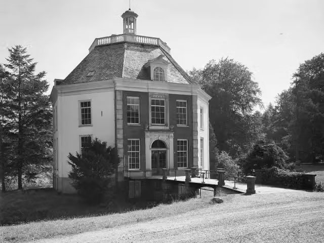 DrakensteynCastle · 1.5 km from the route
- 17
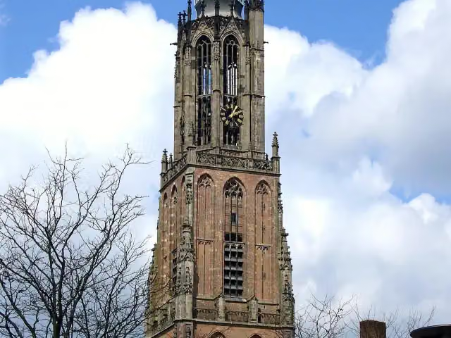 Onze Lieve VrouwetorenAttraction · 317 m from the route
- 18
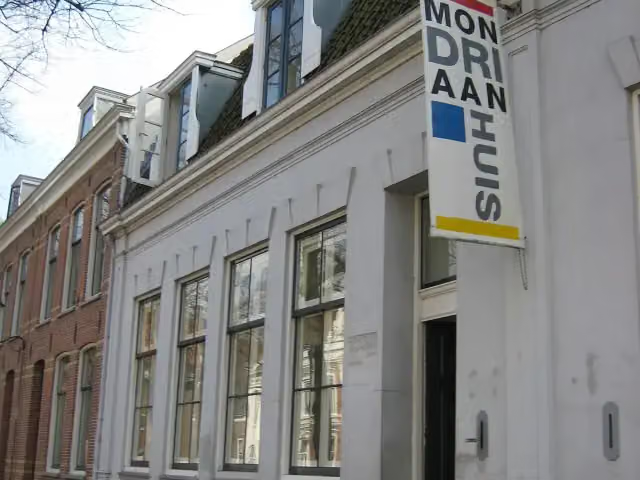 MondriaanhuisMuseum · 425 m from the route
- 19
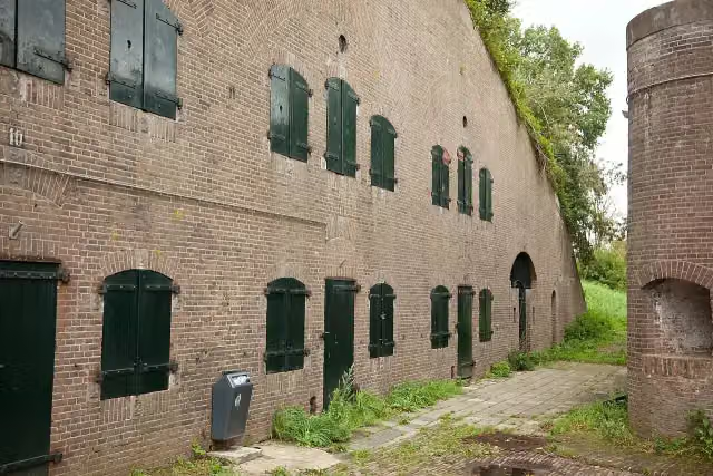 Fort De GagelFort · 2.1 km from the route
- 20
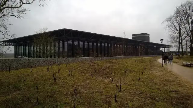 Nationaal Militair MuseumMuseum · 2.8 km from the route
- 21
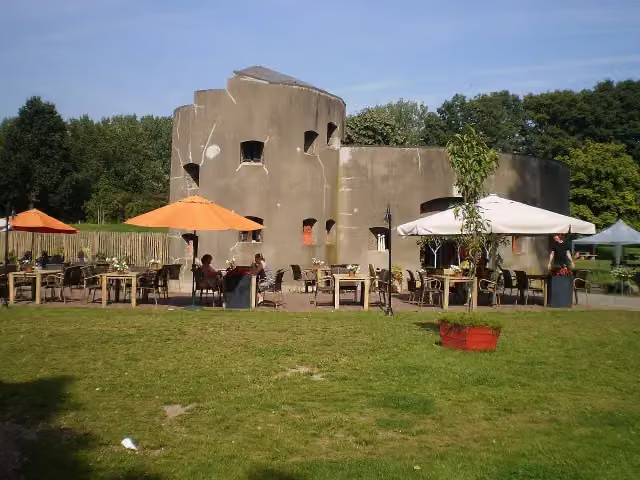 Fort aan de KlopFort · 3 km from the route
- 22
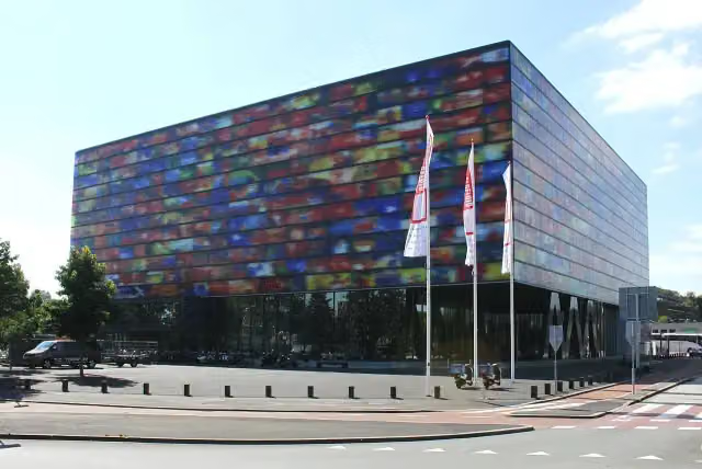 Beeld & GeluidMuseum · 6.4 km from the route
- 23
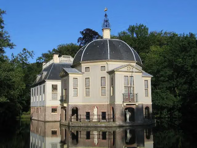 TrompenburghCastle · 7.3 km from the route
- 24
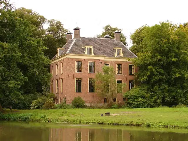 Kasteel RhijnauwenAttraction · 5.6 km from the route
- 25
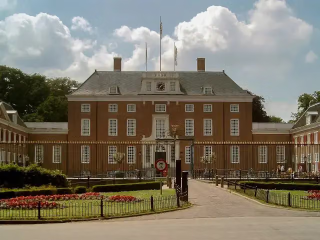 Slot ZeistCastle · 7.5 km from the route
Explore more
More cycle routes around Bunschoten
Frequently asked questions
How long is NAP-route - 07 - Spakenburg - Utrecht?
NAP-route - 07 - Spakenburg - Utrecht is 45.5 km long. Allow ± 3:00 h of riding: 15 km an hour, without breaks.
Is this route a circular ride?
No, the route starts and ends at different spots.
Where does this route start?
The route starts in Bunschoten.
How hard is this route?
Moderate, with 16 m of climbing.
Are there toilets along this route?
Yes, there are 4 public toilets within 100 m of the route. The longest stretch without a toilet is 16.1 km.
Can you fill up with water along this route?
Yes, there are 5 water fountains and refill points within 100 m of the route.
What is there to see along this route?
Along the way you pass Museum Spakenburg, Spakenburgs Oorlogsmonument and Huize Schothorst.
Starting point
More routes from this place
Route data © OpenStreetMap contributors





