 Outdoor Pitstop
Cycle route · Bunschoten · Updated on 6 November 2026
NAP-route - 07alt - Spakenburg - Lage Vuursche cycle route
NAP-route - 07alt - Spakenburg - Lage Vuursche is a cycle route of 23 km from Bunschoten. Along the way you'll find 66 benches and picnic tables.
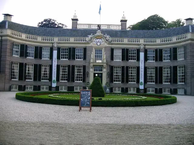
i
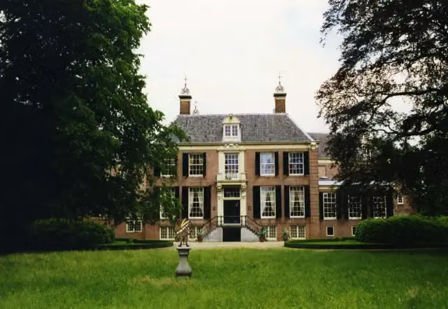
i
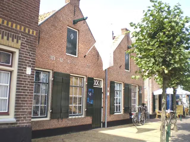
The route step by step
From start to finish, with what you pass along the way and the distance in between.
- 23 km
- ± 1:30 h
- ↑ 6 m · ↓ 3 m
- Easy
- From A to B
- National route
Start in Bunschoten
0 kmAt the start: Museum Spakenburg.
10.7 km · 56 benches

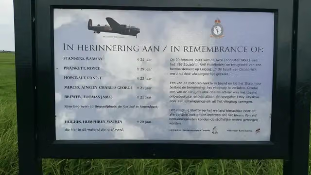
Lancastermonument
10.7 kmMemorial
3.5 km · bench
Kasteel Groeneveld
14.2 kmMuseum · Audio story · 2 min
6.9 km · 7 benches
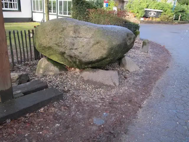
Kei van Lage Vuursche
21.1 kmAttraction
1.9 km · 2 benches
Finish
23 km
No public toilet along the wayThere is no public toilet within 100 m of the route. Go before you start, or find one a bit further away in the app.
The route with the pitstops and sights within 100 m of it.
4 sights along the way
In the order you pass them. With the Outdoor Pitstop app you hear their story on the spot.
- Story
Museum Spakenburg
Museum · after 97 m
Lancastermonument
Memorial · after 10.7 km
- Audio story · 2 min
i
Photo: P.J.L Laurens · Wikimedia Commons · CC BY 2.5View the photo on Wikimedia CommonsKasteel Groeneveld
Museum · after 14.2 km
 Story
i
Photo: This media file was made by Michiel1972 You may use it using a redistributable license (cc-by-sa), see below Please credit this : M.M.Minderhoud or Wikipedia/Michiel1972 · Wikimedia Commons · CC BY-SA 3.0View the photo on Wikimedia CommonsKei van Lage Vuursche
Attraction · after 21.1 km
Elevation and terrain
- Up
- ↑ 6 m
- Down
- ↓ 3 m
- Highest point
- 8 m
- Lowest point
- -0 m
Nowhere steeper than 5%.
Elevation from AHN (Rijkswaterstaat), smoothed.
Way types
23 km in total- Road: 11.3 km
- Cycle path: 10 km
- Street: 1.7 km
- Unknown: 50 m
Surfaces
23 km in total- Asphalt: 12.8 km
- Gravel: 5.9 km
- Paved: 2 km
- Unknown: 2.2 km
About the cycle route NAP-route - 07alt - Spakenburg - Lage Vuursche
Updated on 6 November 2026, with data from OpenStreetMap and the AHN.
Where do you cycle?
NAP-route - 07alt - Spakenburg - Lage Vuursche is a cycle route of 23 km that starts in Bunschoten. It does not end where it starts. Along the way you pass Museum Spakenburg (after 97 m), Lancastermonument (after 10.7 km) and Kasteel Groeneveld (after 14.2 km).
How hard is the route?
The route is almost flat. You climb 6 m in total and descend 3 m. Allow ± 1:30 h, without breaks. The level is easy.
What roads do you cycle on?
The longest part is road (11.3 km), cycle path (10 km) and street (1.7 km). Of the surface, 12.8 km asphalt and 5.9 km gravel. For 2.2 km the surface is not known.
Pitstops along the way
Within 100 metres of the route there are 66 benches and picnic tables. There is no public toilet within 100 metres of the route. The Outdoor Pitstop app navigates you there.
This alternative stage of the NAP-route (LF9) is a cycle route of about 23 km from Spakenburg to Lage Vuursche. You start at Museum Spakenburg and ride via Eemdijk, past the Lancaster memorial, through the municipalities of Eemnes and Baarn to Kasteel Groeneveld and the woods of De Hoge Vuursche, past De Kuil van Drakensteyn, to Lage Vuursche and its boulder, the Kei van Lage Vuursche. It is flat; more than half is asphalt and a quarter gravel. There are over 60 benches, but we know of no drinking water, toilets or bike pump on the way. The full LF9 runs from Bad Nieuweschans to Utrecht.
Source: Wikipedia (CC BY-SA)
Part of NAP-route
Website of the routeCycle routes nearby
6- LF Zuiderzeeroute - 07 - Elburg - SpakenburgModerate · From A to B52 km
- LF Zuiderzeeroute - 08 - Spakenburg - AmsterdamModerate · From A to B50.3 km
- NAP-route - 07 - Spakenburg - UtrechtModerate · From A to B45.5 km
- NAP-route - 06 - Elburg - SpakenburgModerate · From A to B50.2 km
- Doorfietsroute Amersfoort - BunschotenEasy · From A to B9.5 km
- LF Zuiderzeeroute - 08alt - Eemdijk - EemnesEasy · From A to B9.3 km
Sights nearby
Within 10 km of the route, best known first.
- 1
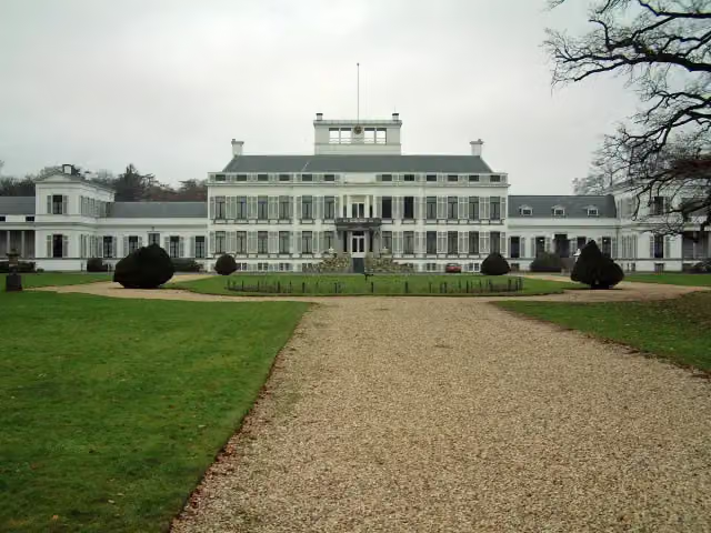 Paleis SoestdijkAttraction · 2 km from the route
- 2
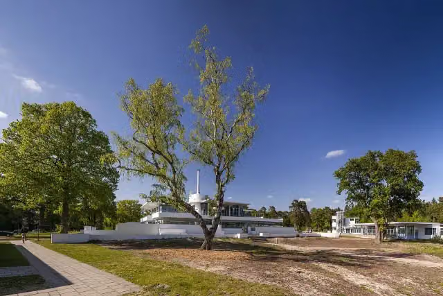 ZonnestraalAttraction · 3.9 km from the route
- 3
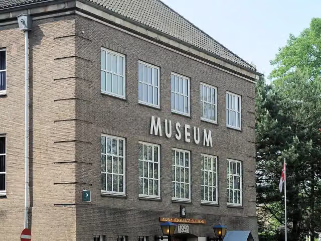 CavaleriemuseumMuseum · 8.9 km from the route
- 4
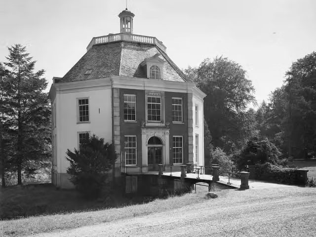 DrakensteynCastle · 189 m from the route
- 5
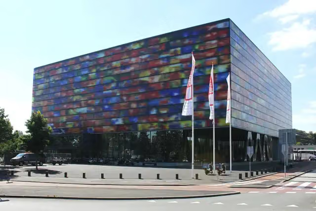 Beeld & GeluidMuseum · 5.3 km from the route
- 6
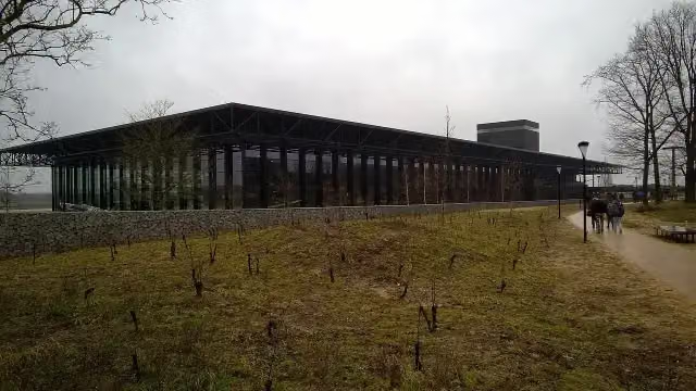 Nationaal Militair MuseumMuseum · 6.5 km from the route
- 7
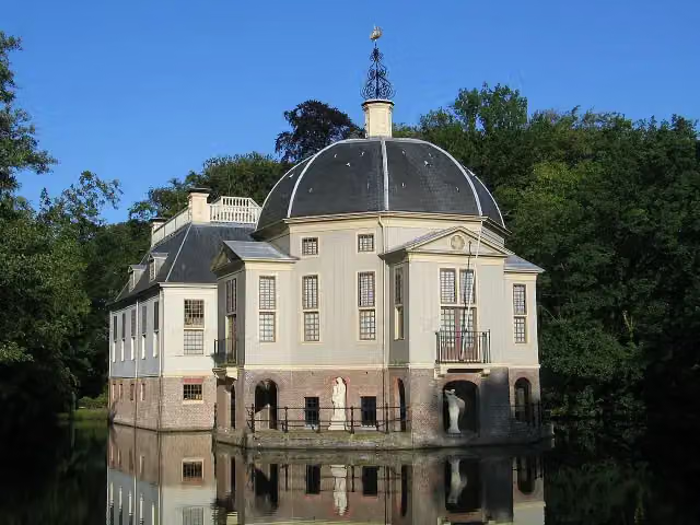 TrompenburghCastle · 7.8 km from the route
- 8
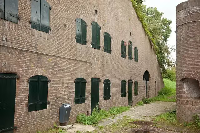 Fort De GagelFort · 8.5 km from the route
- 9
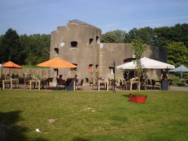 Fort aan de KlopFort · 9.9 km from the route
- 10
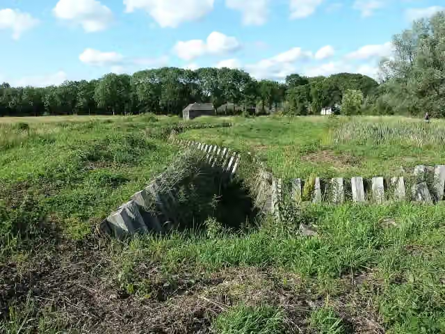 Fort RuigenhoekFort · 7.2 km from the route
- 11
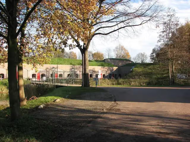 Fort VoordorpFort · 8.2 km from the route
- 12
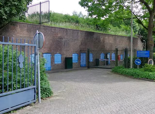 Fort de BiltFort · 9.8 km from the route
- 13
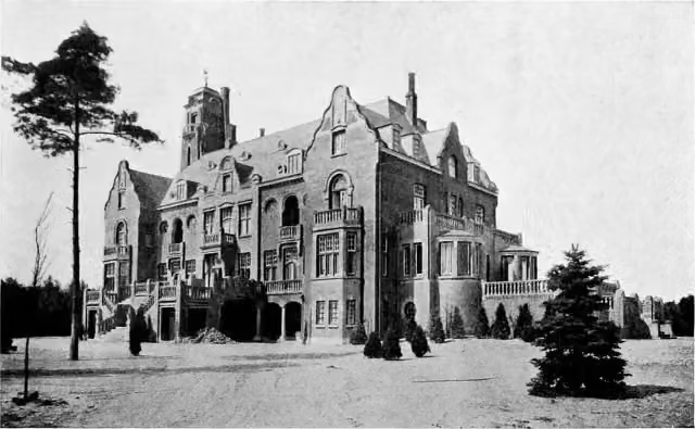 Kasteel de Hooge VuurscheCastle · 542 m from the route
- 14
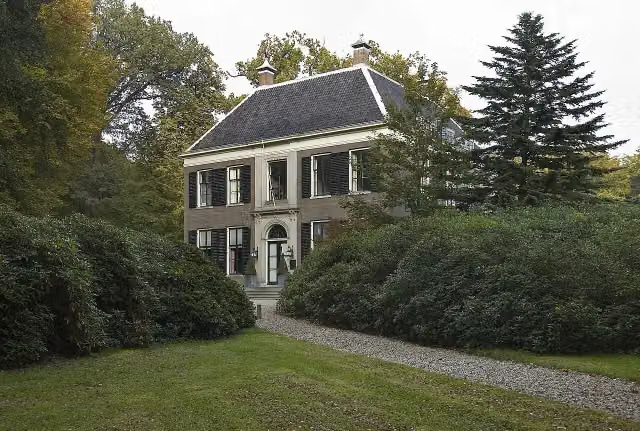 GooilustCastle · 7.3 km from the route
- 15
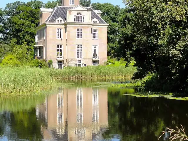 Kasteel OldenallerCastle · 10 km from the route
- 16
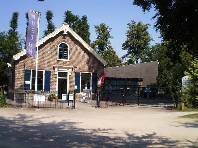 Geologisch Museum HoflandMuseum · 3.9 km from the route
- 17
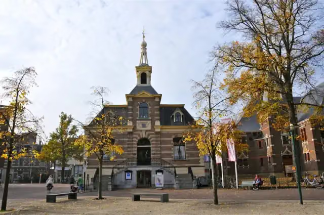 Fotomuseum HilversumMuseum · 5 km from the route
- 18
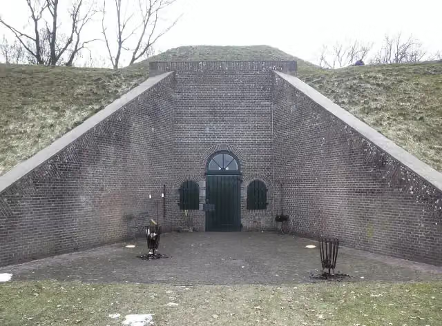 Fort Werk IVFort · 7.3 km from the route
- 19
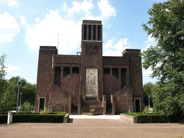 BelgenmonumentMonument · 9.6 km from the route
- 20
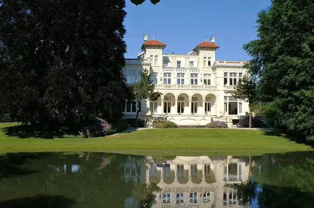 Ma RetraiteCastle · 9.8 km from the route
- 21
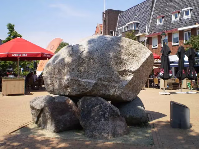 De KeiMemorial · 5 km from the route
- 22
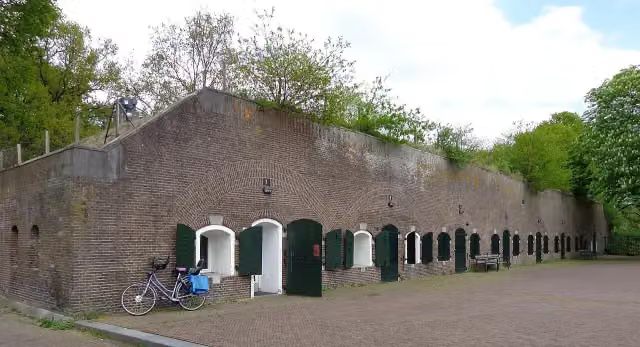 Fort BlauwkapelFort · 8.1 km from the route
- 23
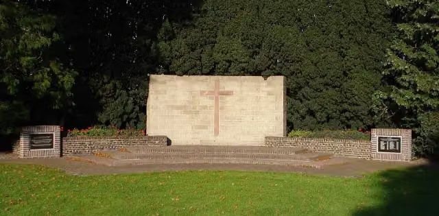 BevrijdingsmonumentMemorial · 1.7 km from the route
- 24
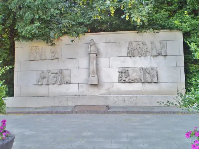 Verzetsmonument SoestMemorial · 3 km from the route
- 25
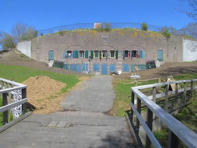 Werk bij MaarsseveenFort · 9.8 km from the route
Explore more
More cycle routes around Bunschoten
Frequently asked questions
How long is NAP-route - 07alt - Spakenburg - Lage Vuursche?
NAP-route - 07alt - Spakenburg - Lage Vuursche is 23 km long. Allow ± 1:30 h of riding: 15 km an hour, without breaks.
Is this route a circular ride?
No, the route starts and ends at different spots.
Where does this route start?
The route starts in Bunschoten.
How hard is this route?
Easy, with 6 m of climbing.
Are there toilets along this route?
No, there is no public toilet within 100 m of the route. Go before you start.
Can you fill up with water along this route?
No, there is no water point within 100 m of the route. Bring enough water.
What is there to see along this route?
Along the way you pass Museum Spakenburg, Lancastermonument and Kasteel Groeneveld.
Starting point
More routes from this place
Route data © OpenStreetMap contributors





