 Outdoor Pitstop
Walking route · Amsterdam · Migratory Bird Trail - 7 · Updated on 5 November 2026
Trekvogelpad - 7 walk
Trekvogelpad - 7 is a walk of 23.7 km from Amsterdam. Along the way you'll find 132 benches and picnic tables, 2 water fountains and refill points and 5 public toilets.
i
i
i
The route step by step
From start to finish, with what you pass along the way and the distance in between.
- 23.7 km
- ± 5:15 h
- ↑ 9 m · ↓ 9 m
- Hard
- From A to B
- National route
Start in Amsterdam
0 km943 m · 4 benches
Public toilet
943 m245 m · bench
Public toilet
1.2 km2.5 km · 3 benches
Water point
3.7 km507 m

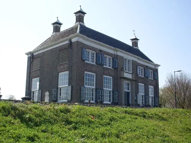
Gemeenlandshuis
4.2 kmMuseum
10.3 km · 54 benches
2 public toilets
14.5 km1.3 km · 16 benches
Public toilet
15.8 km3.3 km · 7 benches
Water point
19.1 km4.6 km · 47 benches
Finish
23.7 km
Longest stretch without a toilet: 13.3 kmBetween 1.2 km and 14.5 km there is no public toilet within 100 m of the route.
The route with the pitstops and sights within 100 m of it.
1 sight along the way
In the order you pass them. With the Outdoor Pitstop app you hear their story on the spot.
Gemeenlandshuis
Museum · after 4.2 km
Elevation and terrain
- Up
- ↑ 9 m
- Down
- ↓ 9 m
- Highest point
- 4 m
- Lowest point
- -3 m
- 10 stairs
Elevation from AHN (Rijkswaterstaat), smoothed.
Way types
23.7 km in total- Road: 9.6 km
- Footpath: 6.7 km
- Cycleway: 4.5 km
- Street: 1.3 km
- Path: 975 m
- Stairs: 10 stairs
Surfaces
23.7 km in total- Asphalt: 12 km
- Paved: 4 km
- Natural: 650 m
- Gravel: 625 m
- Unpaved: 50 m
- Unknown: 6.2 km
About the walking route Trekvogelpad - 7
Updated on 5 November 2026, with data from OpenStreetMap and the AHN.
Where do you walk?
Trekvogelpad - 7 is a walking route of 23.7 km that starts in Amsterdam. It does not end where it starts. You start in Schellingwoude and finish in Weesp. Along the way you pass Gemeenlandshuis (after 4.2 km).
How hard is the route?
The route is almost flat. You climb 9 m in total and descend 9 m. There are 10 flights of steps along the way. Allow ± 5:15 h, without breaks. The level is hard.
What paths do you walk on?
The longest part is road (9.6 km), footpath (6.7 km) and cycleway (4.5 km). Of the surface, 12 km asphalt and 4 km paved. For 6.2 km the surface is not known.
Pitstops along the way
Within 100 metres of the route there are 132 benches and picnic tables, 2 water fountains and refill points and 5 public toilets. You can fill your bottle after 3.7 km and after 19.1 km. The longest stretch without a toilet is 13.3 km. The Outdoor Pitstop app navigates you there.
Part of Trekvogelpad - Hoofdroute (Migratory Bird Trail - Main route)
Website of the routeWalks nearby
6- Zuiderzeepad - 6Moderate · From A to B15.5 km
- Trekvogelpad - 6Moderate · From A to B14.8 km
- TVP 06 Alternatieve route buiten broedseizoenEasy · From A to B1.1 km
- Zuiderzeepad, Alternatieve route tijdens broedseizoen (15 maart - 15 juni)Easy · From A to B1.3 km
- Zuiderzeepad - 5Moderate · From A to B19.8 km
- Waterlandse ZeedijkrouteModerate · From A to B10.8 km
Sights nearby
Within 10 km of the route, best known first.
- 1
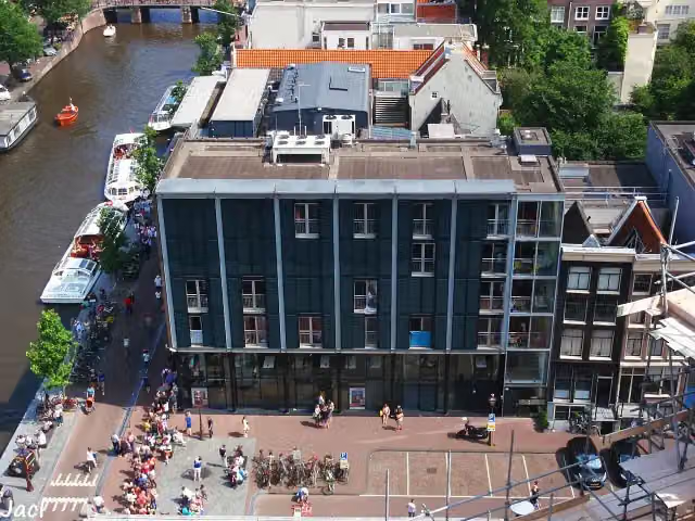 Anne Frank HouseMuseum · 4.9 km from the route
- 2
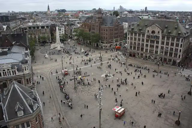 Dam SquareAttraction · 4.4 km from the route
- 3
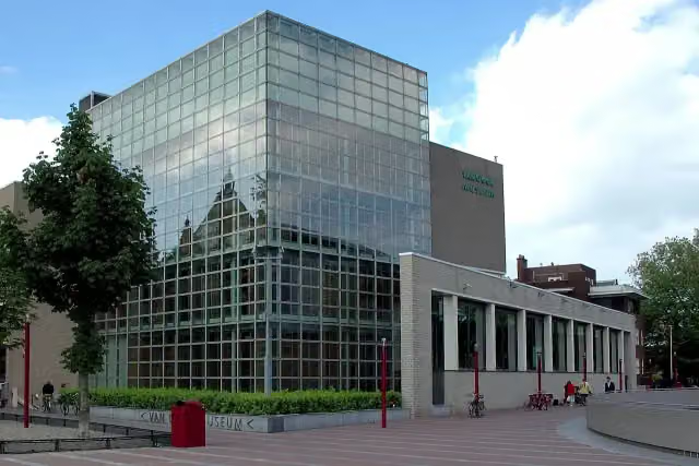 Van Gogh MuseumMuseum · 5.3 km from the route
- 4
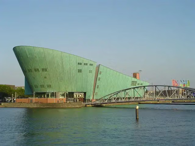 NEMO Science MuseumMuseum · 3 km from the route
- 5
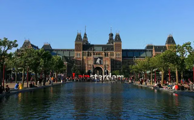 RijksmuseumMuseum · 5 km from the route
- 6
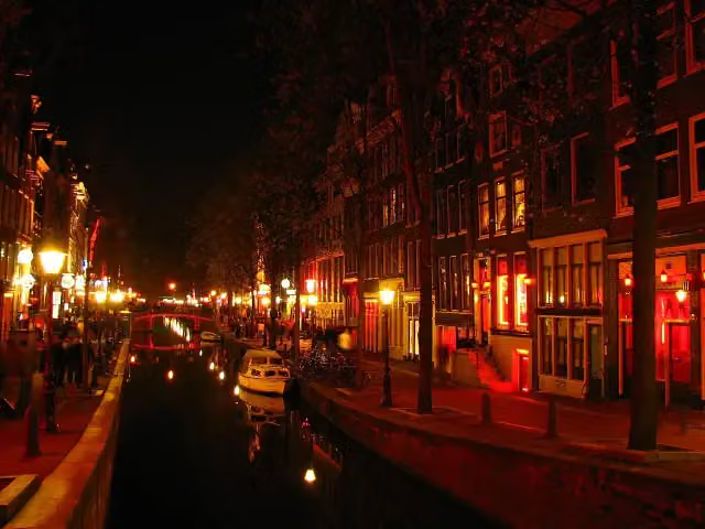 Red Light DistrictAttraction · 4 km from the route
- 7
 Heineken ExperienceMuseum · 4.6 km from the route
- 8
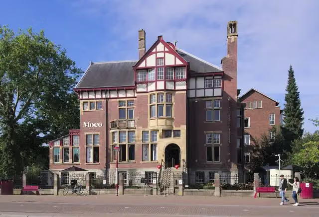 Moco MuseumMuseum · 5.2 km from the route
- 9
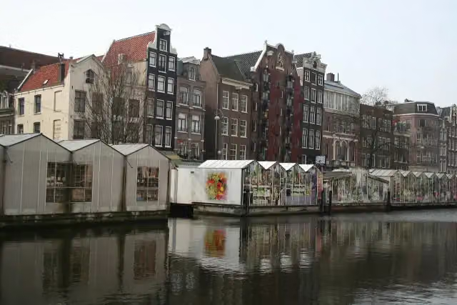 Flower MarketAttraction · 4.5 km from the route
- 10
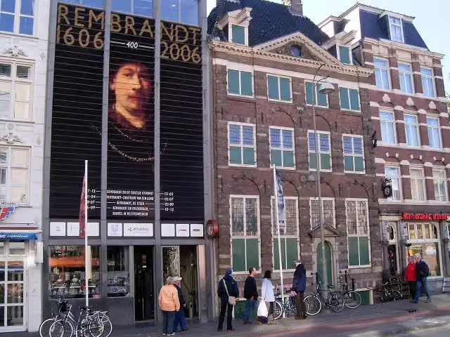 Rembrandt HouseMuseum · 3.8 km from the route
- 11
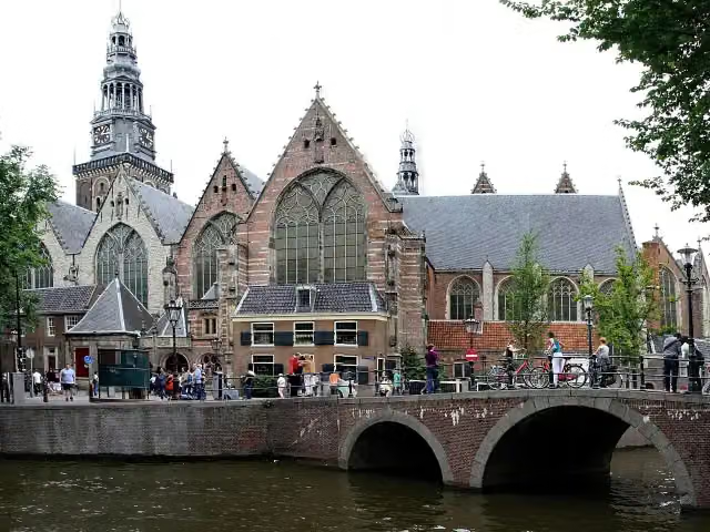 Old ChurchMuseum · 4 km from the route
- 12
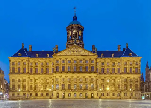 Royal PalaceAttraction · 4.4 km from the route
- 13
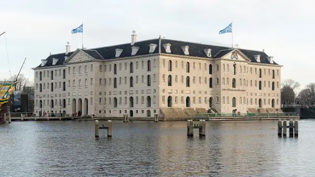 The National Maritime MuseumMuseum · 2.9 km from the route
- 14
 SexmuseumMuseum · 4 km from the route
- 15
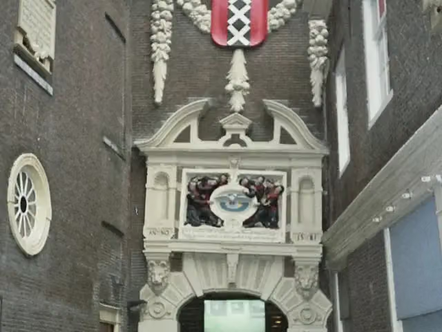 Amsterdam MuseumMuseum · 4.5 km from the route
- 16
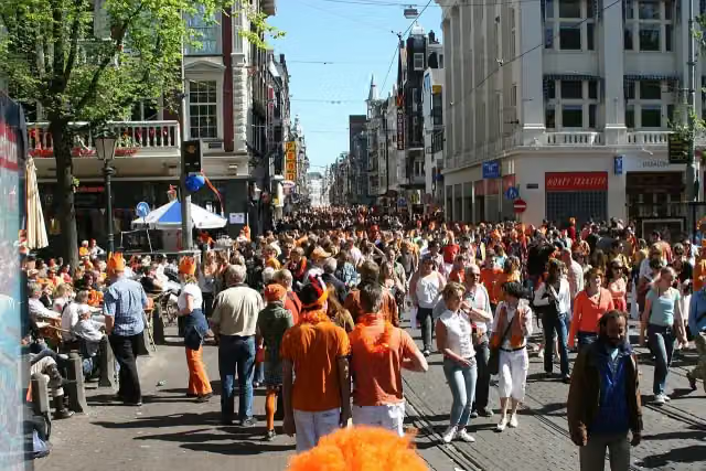 LeidsepleinAttraction · 5.1 km from the route
- 17
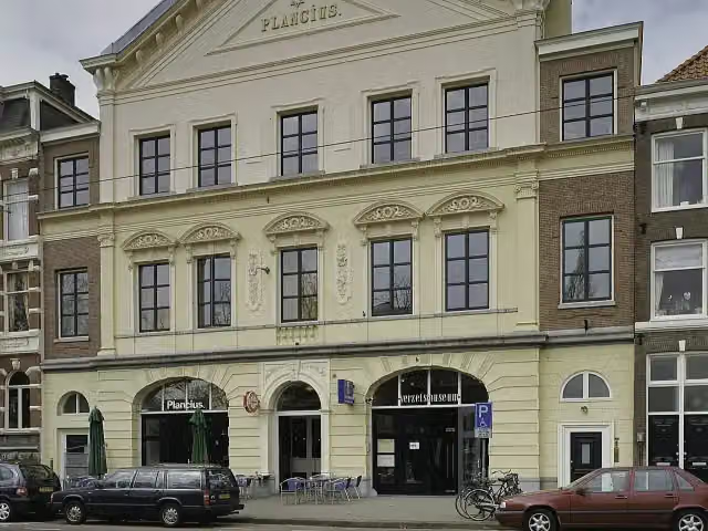 Dutch Resistance MuseumMuseum · 3 km from the route
- 18
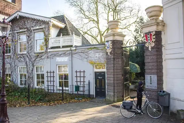 Hortus BotanicusAttraction · 3.4 km from the route
- 19
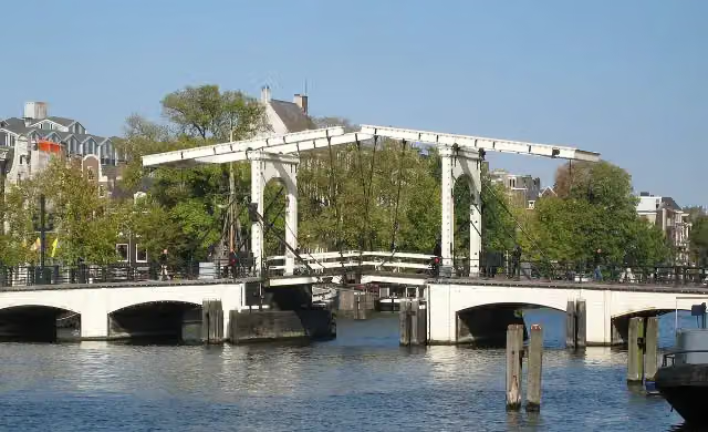 Magere BrugAttraction · 3.8 km from the route
- 20
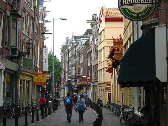 ChinatownAttraction · 3.8 km from the route
- 21
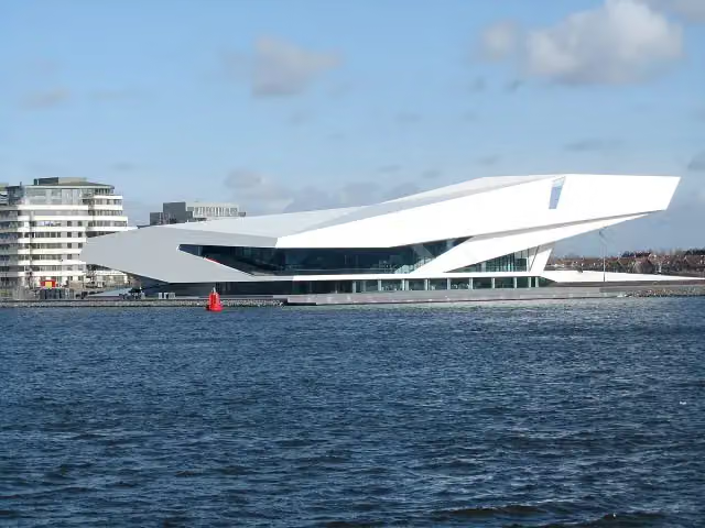 Eye FilmmuseumMuseum · 3.8 km from the route
- 22
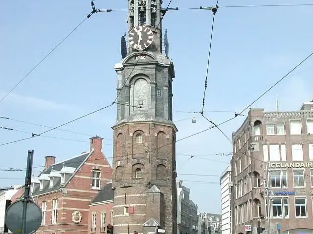 Mint TowerAttraction · 4.4 km from the route
- 23
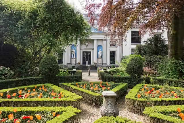 Museum Van LoonMuseum · 4.4 km from the route
- 24
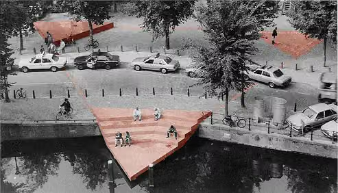 HomomonumentMemorial · 4.9 km from the route
- 25
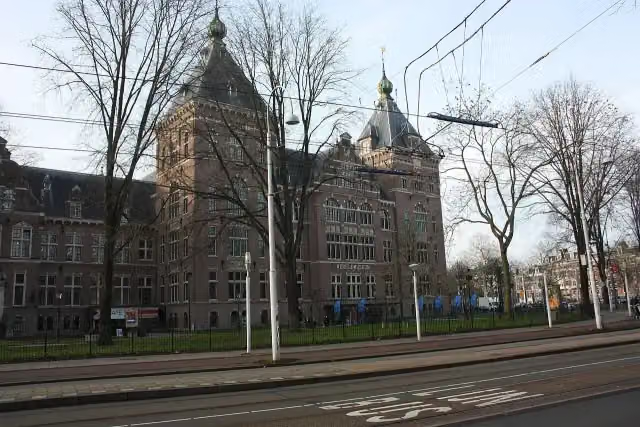 Wereldmuseum AmsterdamMuseum · 2.5 km from the route
Explore more
Frequently asked questions
How long is Trekvogelpad - 7?
Trekvogelpad - 7 is 23.7 km long. Allow ± 5:15 h of walking: 4.5 km an hour and 10 minutes more per 100 metres of climbing, without breaks.
Is this route a circular walk?
No, the route runs from Schellingwoude to Weesp.
Where does this route start?
The route starts in Amsterdam.
How hard is this route?
Hard, with 9 m of climbing.
Are there toilets along this route?
Yes, there are 5 public toilets within 100 m of the route. The longest stretch without a toilet is 13.3 km.
Can you fill up with water along this route?
Yes, there are 2 water fountains and refill points within 100 m of the route.
What is there to see along this route?
Along the way you pass Gemeenlandshuis.
Starting point
More routes from this place
Route data © OpenStreetMap contributors





