 Outdoor Pitstop
Cycle route · Berlin · Updated on 14 November 2026
[D11] Ostsee-Oberbayern 04 [Brandenburg Süd] cycle route
[D11] Ostsee-Oberbayern 04 [Brandenburg Süd] is a cycle route of 105.2 km from Berlin. Along the way you'll find 353 benches, 2 water fountains and refill points, 23 public toilets and 3 bike pumps.
i
i
i
The route step by step
From start to finish, with what you pass along the way and the distance in between.
- 105.2 km
- ± 7:00 h
- ↑ 405 m · ↓ 311 m
- Hard
- From A to B
- National route
Start in Berlin
0 km4.8 km · 12 benches

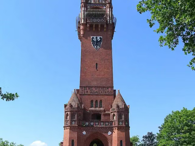
Grunewaldturm
4.8 kmPublic toilet
1.2 km · 2 benches
Public toilet
6 km1.9 km · 5 benches
Public toilet
7.8 km2.7 km
Public toilet
10.5 km1.9 km · 3 benches
Borussia
12.4 kmPublic toilet
166 m · 5 benches
2 public toilets
12.5 km7.9 km · 34 benches
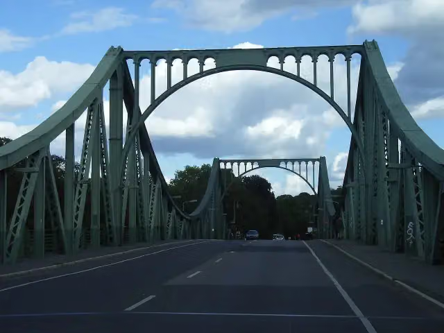
Glienicker Brücke
20.4 kmAttraction · Audio story · 2 min
2 km · 16 benches
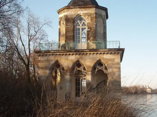
Gotische Bibliothek
22.5 kmAttraction
584 m · 4 benches
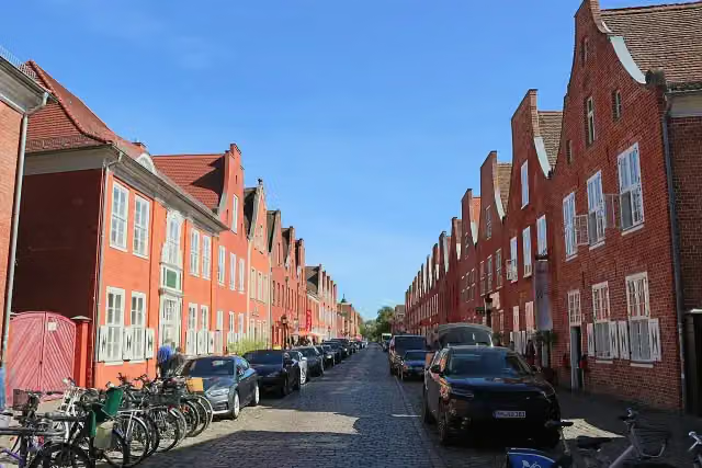
Holländisches Viertel and 1 more
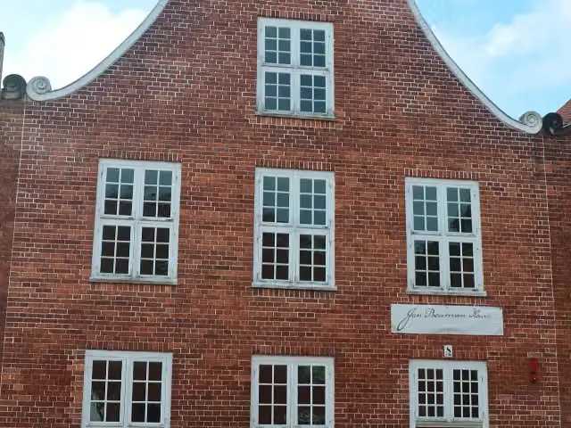
23.1 kmJan Bouman Haus and bike pump
163 m · bench
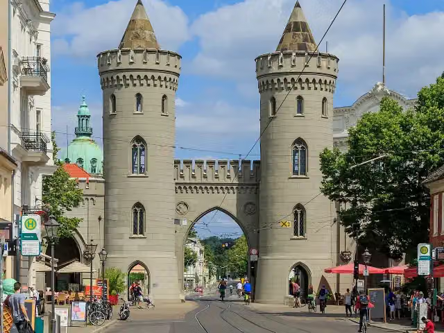
Nauener Tor
23.2 kmPublic toilet
376 m · 21 benches
Jägertor
23.6 kmPublic toilet
369 m · 20 benches
Public toilet
24 km159 m · 6 benches
Brandenburger Tor
24.1 km4 public toilets
646 m · 32 benches
Dampfmaschinenhaus (Moschee)
24.8 kmPublic toilet
1.4 km · 45 benches
Public toilet
26.2 km635 m · 12 benches
Public toilet
26.8 km971 m · 19 benches
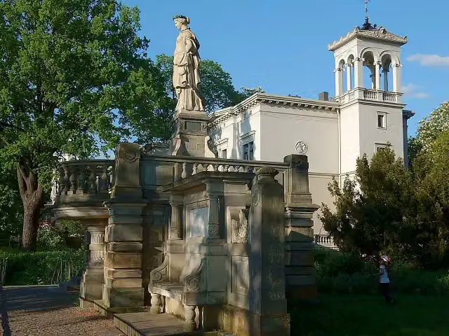
Villa Carlshagen
27.8 kmAttraction
2.6 km · 11 benches
Bike pump
30.5 km321 m
Water point
30.8 km5.4 km · 7 benches
Public toilet
36.2 km3.2 km · 8 benches
Public toilet and bike pump
39.4 km26 km · 20 benches
Kursächsische Postmeilensäule
65.4 kmAttraction
15.9 km · 34 benches
Public toilet
81.3 km259 m · 2 benches
Public toilet
81.6 km500 m · 12 benches
Public toilet and water point
82.1 km424 m · 6 benches
Kursächsische Postmeilensäule and 1 more
82.5 kmBurg Eisenhardt
168 m · 5 benches
Public toilet
82.6 km8.5 km · 7 benches
Weltkriegsdenkmal Grubo
91.1 kmMemorial
14.1 km · 4 benches
Finish
105.2 km
Longest stretch without a toilet: 41.8 kmBetween 39.4 km and 81.3 km there is no public toilet within 100 m of the route.
The route with the pitstops and sights within 100 m of it.
15 sights along the way
In the order you pass them. With the Outdoor Pitstop app you hear their story on the spot. 7 more along the route are on the map.
Grunewaldturm
Observation tower · after 4.8 km
i
Photo: Michael Coghlan from Adelaide, Australia · Wikimedia Commons · CC BY-SA 2.0View the photo on Wikimedia CommonsMemorial · after 12.4 km
 Audio story · 2 min
Glienicker Brücke
Attraction · after 20.4 km
i
Photo: Mister No · Wikimedia Commons · CC BY 3.0View the photo on Wikimedia CommonsAttraction · after 22.5 km
i
Photo: Angel Miklashevsky · Wikimedia Commons · CC BY-SA 4.0View the photo on Wikimedia CommonsAttraction · after 23.1 km
i
Photo: JBHP · Wikimedia Commons · CC BY-SA 4.0View the photo on Wikimedia CommonsMuseum · after 23.2 km
Nauener Tor
Attraction · after 23.2 km
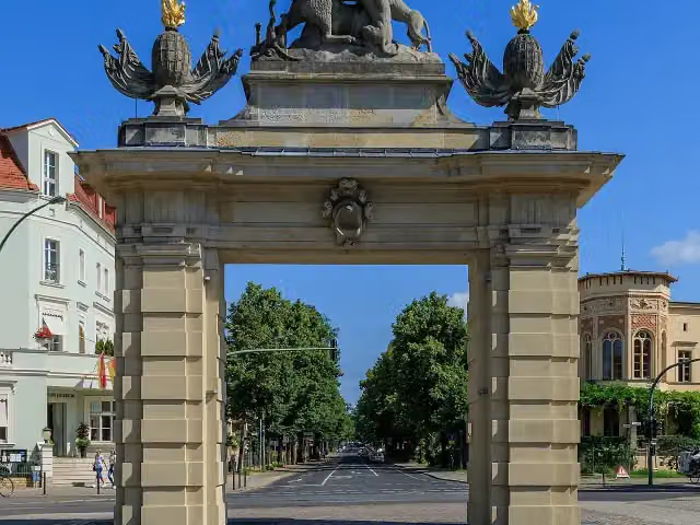
i
Photo: A.Savin · Wikimedia Commons · FALView the photo on Wikimedia CommonsAttraction · after 23.6 km
Elevation and terrain
- Up
- ↑ 405 m
- Down
- ↓ 311 m
- Highest point
- 177 m
- Lowest point
- 32 m
Nowhere steeper than 5%.
Elevation from Copernicus GLO-30 (European Union and ESA), smoothed.
produced using Copernicus WorldDEM-30 © DLR e.V. 2010-2014 and © Airbus Defence and Space GmbH 2014-2018 provided under COPERNICUS by the European Union and ESA; all rights reserved
Way types
105.2 km in total- Path: 39.6 km
- Street: 20 km
- Road: 16.5 km
- Track: 15.1 km
- Cycle path: 6.6 km
- Busy road: 6.5 km
- Footpath (walk your bike): 775 m
Surfaces
105.2 km in total- Asphalt: 90.4 km
- Paved: 8.9 km
- Gravel: 3.4 km
- Unpaved: 475 m
- Unknown: 1.9 km
About the cycle route [D11] Ostsee-Oberbayern 04 [Brandenburg Süd]
Updated on 14 November 2026, with data from OpenStreetMap, the AHN and Copernicus.
Where do you cycle?
[D11] Ostsee-Oberbayern 04 [Brandenburg Süd] is a cycle route of 105.2 km that starts in Berlin. It does not end where it starts. You start in Berlin and finish in Berbau. Along the way you pass Grunewaldturm (after 4.8 km), Borussia (after 12.4 km) and Glienicker Brücke (after 20.4 km).
How hard is the route?
You climb 405 m in total and descend 311 m. Allow ± 7:00 h, without breaks. The level is hard.
What roads do you cycle on?
The longest part is path (39.6 km), street (20 km) and road (16.5 km). Of the surface, 90.4 km asphalt and 8.9 km paved. For 1.9 km the surface is not known.
Pitstops along the way
Within 100 metres of the route there are 353 benches, 2 water fountains and refill points, 23 public toilets and 3 bike pumps. You can fill your bottle after 30.8 km and after 82.2 km. The longest stretch without a toilet is 41.8 km. The Outdoor Pitstop app navigates you there.
Part of Radweg D11: Ostsee <> Oberbayern
Cycle routes nearby
6- [D11] Ostsee-Oberbayern 03 [Brandenburg Mitte]Hard · From A to B64.9 km
- D-Netz Route 3Moderate · From A to B50.5 km
- D-Netz Route 3Hard · From A to B69.4 km
- Eurovelo 7 - Sun Route - part GermanyHard · From A to B737.9 km
- Radweg Deutsche Einheit - Abschnitt 5: Dessau - BerlinHard · From A to B195.6 km
- Europaradweg R1 - Abschnitt Deutschland Teil 5Hard · From A to B197.6 km
Sights nearby
Within 10 km of the route, best known first.
- 1
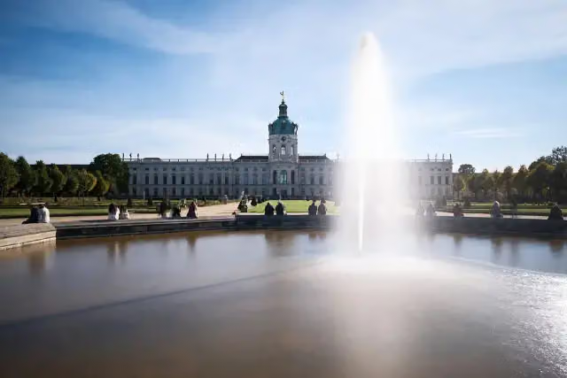 Charlottenburg PalaceCastle · 4.8 km from the route
- 2
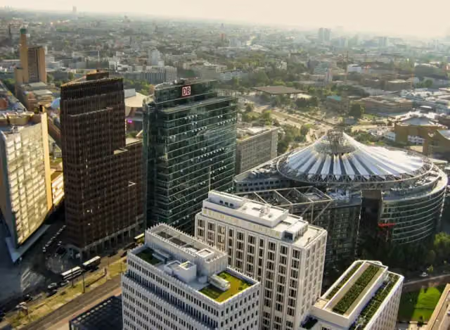 Potsdamer PlatzAttraction · 10 km from the route
- 3
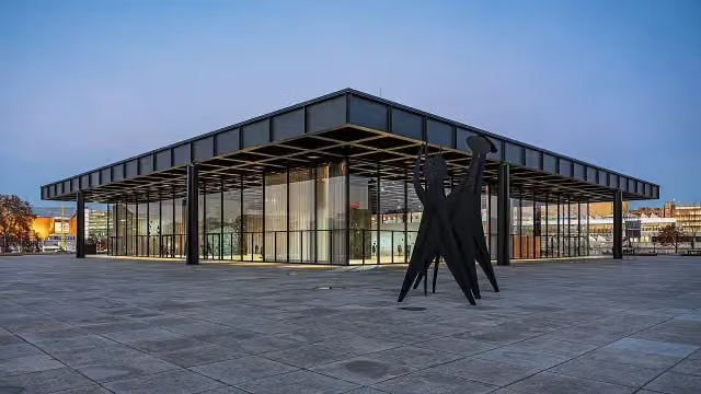 Neue NationalgalerieMuseum · 9.4 km from the route
- 4
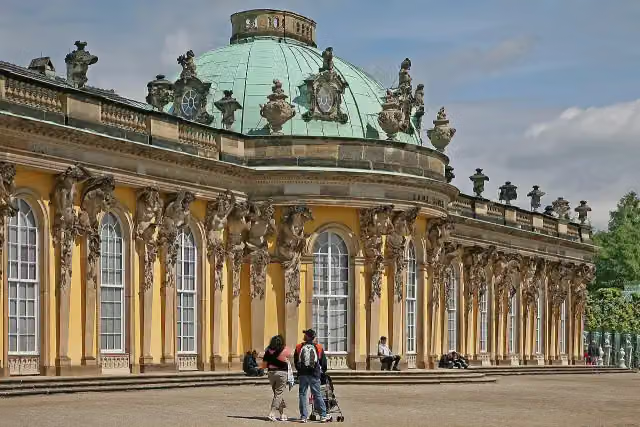 Sanssouci PalaceAttraction · 680 m from the route
- 5
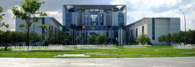 Federal ChancelleryAttraction · 9.6 km from the route
- 6
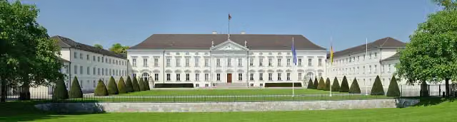 Bellevue PalaceAttraction · 8.5 km from the route
- 7
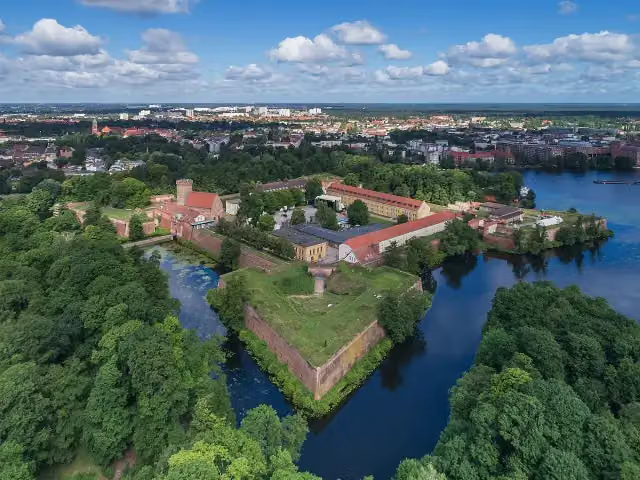 Spandau CitadelAttraction · 4.1 km from the route
- 8
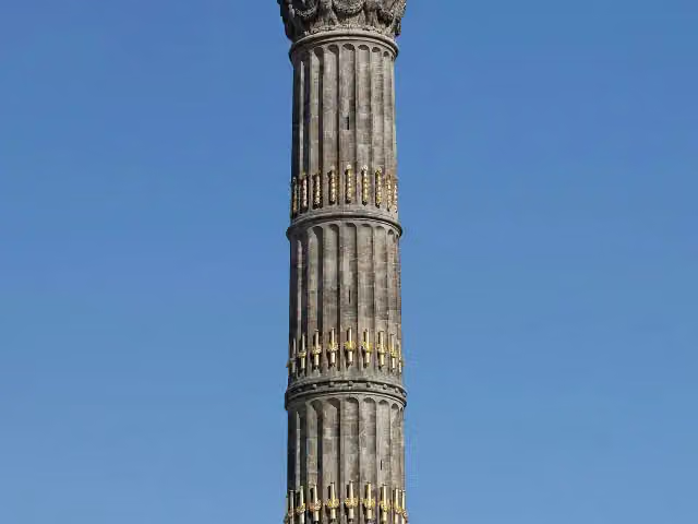 Victory ColumnAttraction · 8.3 km from the route
- 9
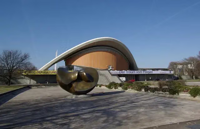 House of the Cultures of the WorldMuseum · 9.3 km from the route
- 10
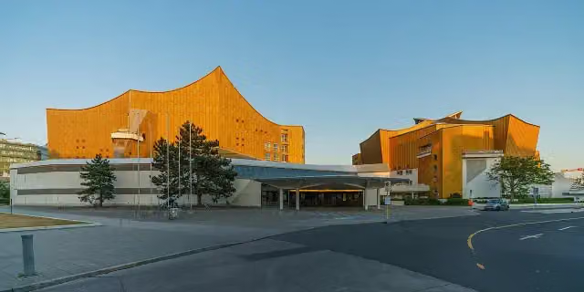 PhilharmonieAttraction · 9.6 km from the route
- 11
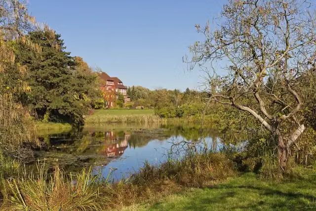 Botanischer GartenAttraction · 7.3 km from the route
- 12
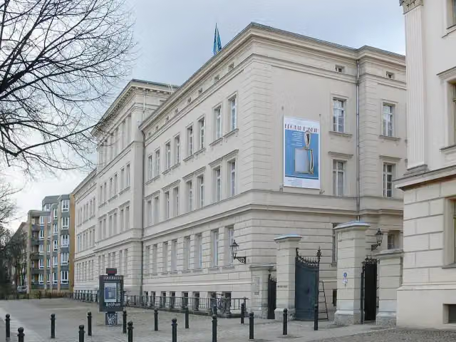 Bröhan MuseumMuseum · 4.8 km from the route
- 13
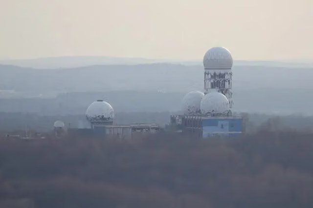 TeufelsbergViewpoint · 1.2 km from the route
- 14
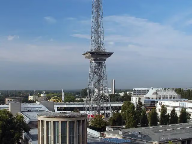 Funkturm BerlinAttraction · 3.3 km from the route
- 15
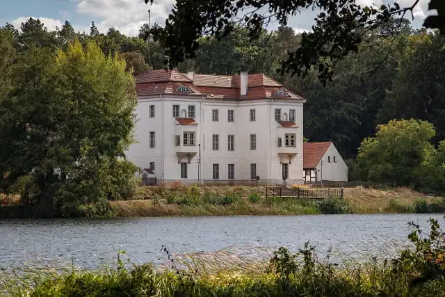 Jagdschloss GrunewaldCastle · 4.2 km from the route
- 16
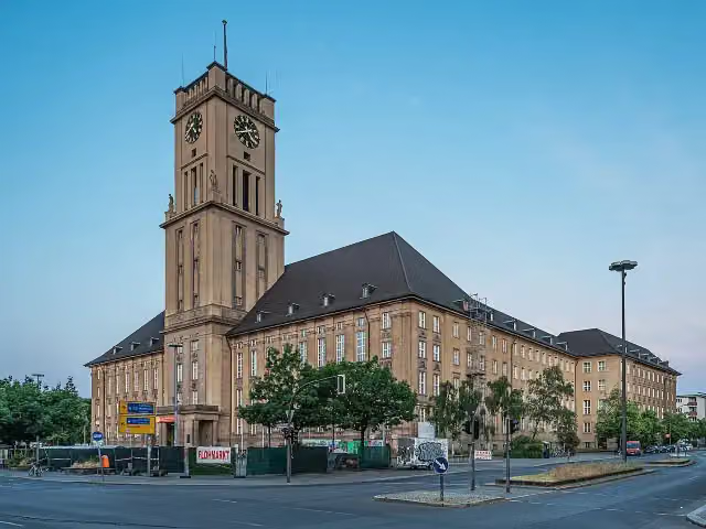 Rathaus SchönebergAttraction · 8.1 km from the route
- 17
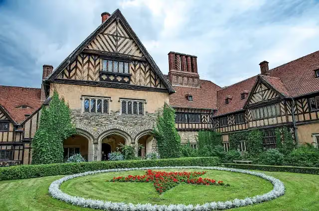 Schloss CecilienhofAttraction · 1.2 km from the route
- 18
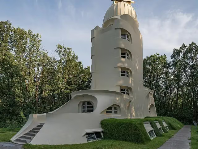 Einstein TowerAttraction · 2 km from the route
- 19
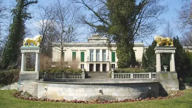 Schloss GlienickeAttraction · 192 m from the route
- 20
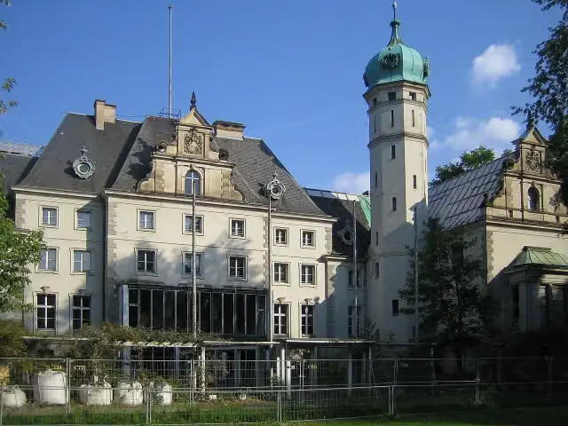 Jagdschloss GlienickeCastle · 463 m from the route
- 21
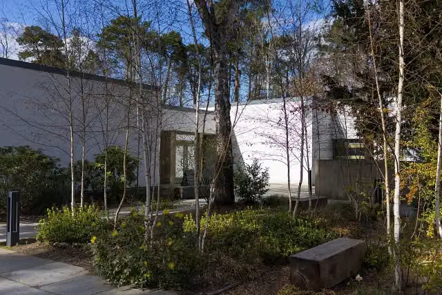 Bridges MuseumMuseum · 5 km from the route
- 22
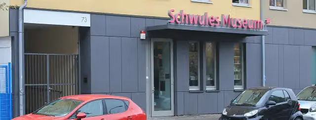 Gay Museum *Museum · 8.8 km from the route
- 23
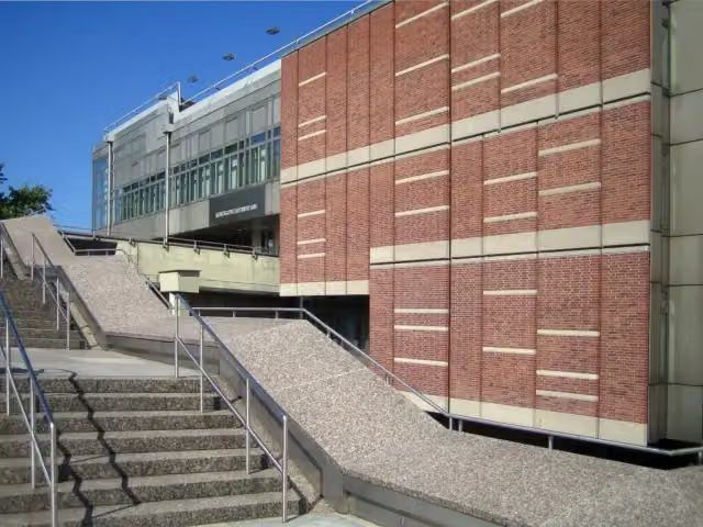 KunstgewerbemuseumMuseum · 9.4 km from the route
- 24
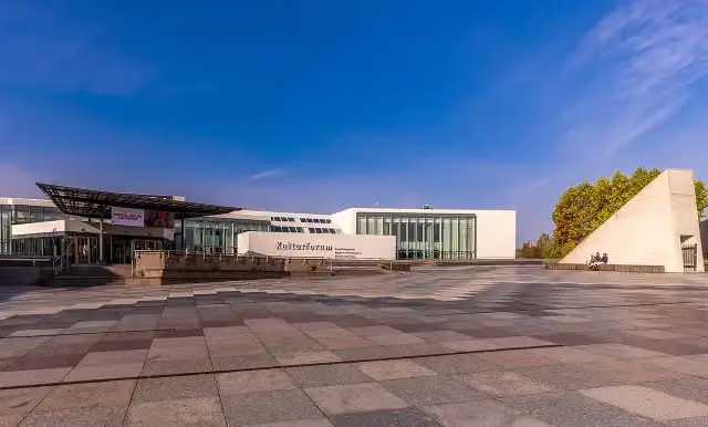 KulturforumAttraction · 9.5 km from the route
- 25
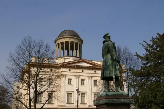 Museum BerggruenMuseum · 4.8 km from the route
Explore more
Frequently asked questions
How long is [D11] Ostsee-Oberbayern 04 [Brandenburg Süd]?
[D11] Ostsee-Oberbayern 04 [Brandenburg Süd] is 105.2 km long. Allow ± 7:00 h of riding: 15 km an hour, without breaks.
Is this route a circular ride?
No, the route runs from Berlin to Berbau.
Where does this route start?
The route starts in Berlin.
How hard is this route?
Hard, with 405 m of climbing.
Are there toilets along this route?
Yes, there are 23 public toilets within 100 m of the route. The longest stretch without a toilet is 41.8 km.
Can you fill up with water along this route?
Yes, there are 2 water fountains and refill points within 100 m of the route.
What is there to see along this route?
Along the way you pass Grunewaldturm, Borussia and Glienicker Brücke.
Can I download this route as a GPX file?
Yes. Sign in with your Outdoor Pitstop account and choose Download GPX at the top of this page: 10 routes a month for free, unlimited with Pro.
Starting point
More routes from this place
Route data © OpenStreetMap contributors





