 Outdoor Pitstop
Cycle route · Dessau-Roßlau · Updated on 14 November 2026
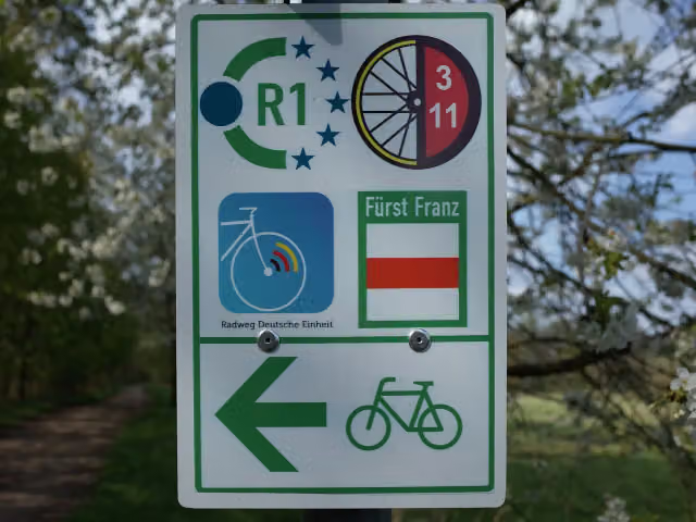
Radweg Deutsche Einheit - Abschnitt 5: Dessau - Berlin cycle route
Radweg Deutsche Einheit - Abschnitt 5: Dessau - Berlin is a cycle route of 195.6 km from Dessau-Roßlau. Along the way you'll find 838 benches, 18 water fountains and refill points, 53 public toilets and 5 bike pumps.
i
i
i
The route step by step
From start to finish, with what you pass along the way and the distance in between.
- 195.6 km
- ± 13:00 h
- ↑ 545 m · ↓ 574 m
- Hard
- From A to B
- National route
Start in Dessau-Roßlau
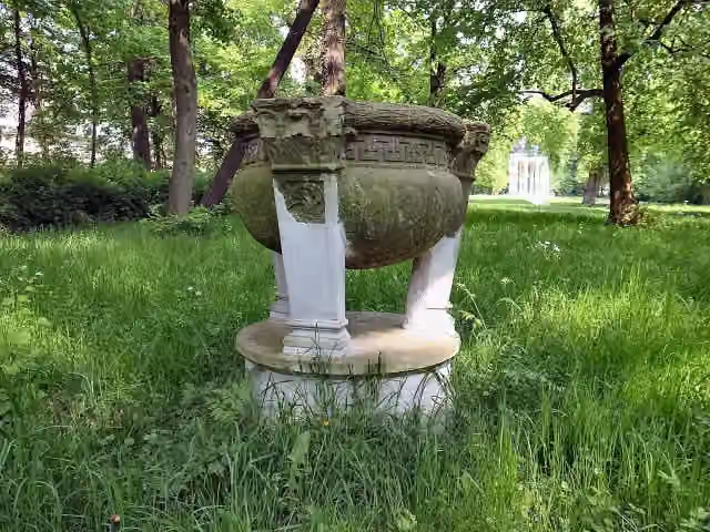
0 kmAt the start: Dreifußaltar.
178 m

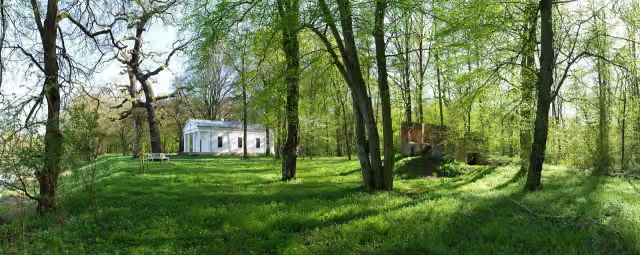
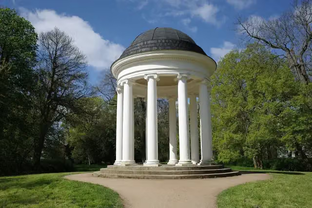
Ionischer Tempel
178 mAttraction
410 m · 5 benches
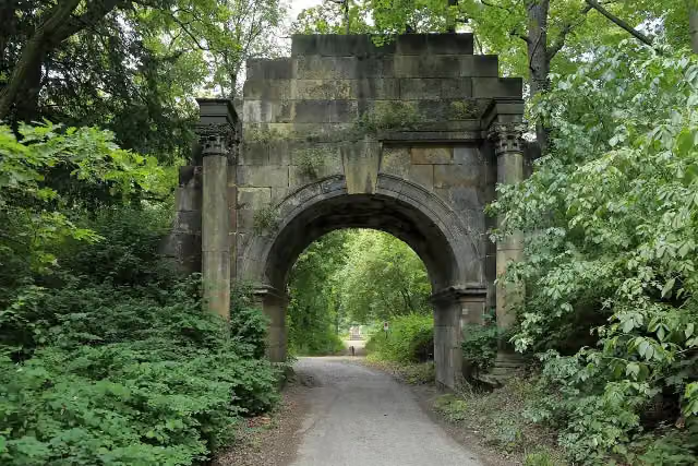
Weißer Bogen
588 mAttraction
256 m · bench
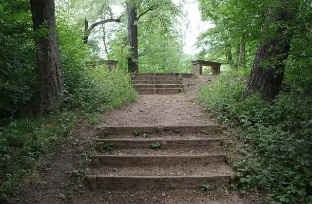
Taubens Bänke
844 mMemorial
6 km · 14 benches
Public toilet
6.8 km8.2 km · 11 benches
Observation tower
15.1 kmObservation tower
5.7 km · 4 benches
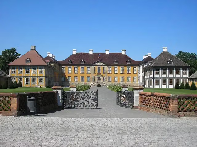
Schloss Oranienbaum
20.8 kmPublic toilet
8.5 km · 31 benches
Public toilet
29.3 km430 m
Public toilet
29.7 km4 km · 18 benches
Paul-Gerhardt-Kapelle
33.7 kmMuseum
11.7 km · 13 benches
5 water fountains and refill points
45.4 km161 m
Public toilet and 3 water fountains and refill points
45.6 km164 m
Public toilet and 3 water fountains and refill points
45.8 km553 m · 6 benches
3 public toilets and water point
46.3 km14.1 km · 13 benches
Public toilet
60.4 km153 m · 2 benches
Haus der Alltagsgeschichte
60.6 kmPublic toilet
152 m · 6 benches
futurea Science Center
60.7 kmPublic toilet
288 m · 7 benches
Public toilet
61 km29.5 km · 13 benches
Weltkriegsdenkmal Grubo
90.5 kmMemorial
8.5 km · 7 benches
Burg Eisenhardt
99 kmPublic toilet
168 m · 5 benches
Kursächsische Postmeilensäule
99.2 kmAttraction
321 m · 2 benches
Public toilet and water point
99.5 km603 m · 16 benches
Public toilet
100.1 km260 m · 2 benches
Public toilet
100.3 km15.9 km · 34 benches
Kursächsische Postmeilensäule
116.2 kmAttraction
10.1 km · 5 benches
Gedenkstein Hans Grade
126.3 kmMemorial
17.5 km · 21 benches
Public toilet and bike pump
143.8 km3.3 km · 8 benches
Public toilet
147.1 km5.4 km · 7 benches
Water point
152.5 km321 m
Bike pump
152.8 km
Show the other 39 steps
2.6 km · 11 benches
Villa Carlshagen
155.5 kmAttraction
972 m · 19 benches
Public toilet
156.4 km634 m · 12 benches
Public toilet
157.1 km1.3 km · 44 benches
Dampfmaschinenhaus (Moschee)
158.4 kmPublic toilet
644 m · 13 benches
Brandenburger Tor
159 km4 public toilets
300 m · 26 benches
Public toilet
159.3 km364 m · 20 benches
Jägertor
159.7 kmPublic toilet
278 m · 19 benches
Nauener Tor
160 kmPublic toilet
152 m · 2 benches
Jan Bouman Haus and 1 more
160.1 kmHolländisches Viertel and bike pump
699 m · 5 benches
Gotische Bibliothek
160.8 kmAttraction
2 km · 16 benches
Glienicker Brücke
162.9 kmAttraction · Audio story · 2 min
7.8 km · 26 benches
2 public toilets
170.6 km236 m · 12 benches
Borussia
170.9 kmPublic toilet
1.9 km · 4 benches
Public toilet
172.8 km2.7 km
Public toilet
175.5 km1.9 km · 5 benches
Public toilet
177.3 km1.1 km · 2 benches
Grunewaldturm
178.5 kmPublic toilet
5 km · 12 benches
Public toilet
183.4 km2.2 km · 13 benches
Bike pump
185.6 km900 m · 8 benches
Ewige Flamme
186.5 kmPublic toilet and water point
1.2 km · 13 benches
Public toilet and water point
187.8 km733 m · 24 benches
Denkmal für im Verkehr verunglückte Kinder
188.5 kmMemorial
514 m
Der Tod des Demonstranten
189 kmMemorial
751 m · 3 benches
5 public toilets
189.8 km322 m · 11 benches
2 public toilets
190.1 km184 m · bench
Werner von Siemens
190.3 kmMemorial
327 m · 5 benches
Sophie Charlotte and 1 more
190.6 kmFriedrich I.
352 m · 4 benches
Bremer Weg
190.9 kmPublic toilet
821 m · 41 benches
2 public toilets
191.8 km223 m · 14 benches
Victory Column
192 kmBike pump
1.5 km · 57 benches
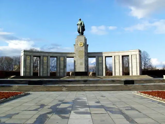
Soviet War Memorial Tiergarten and 2 more
193.4 kmSoviet Soldier and The Caller
240 m · 3 benches
Brandenburg Gate
193.7 kmPublic toilet and water point
163 m · 12 benches
Max-Liebermann-Haus
193.8 kmMuseum
219 m · 59 benches
Erlebnis Europa
194.1 kmPublic toilet
606 m · 16 benches
Mori-Ôgai-Gedenkstätte and 1 more
194.7 kmRudolf-Virchow-Denkmal
193 m
Albrecht von Graefe and 1 more
194.9 kmFriedrich Althoff and public toilet
302 m · 37 benches
Water point
195.2 km177 m · 8 benches
Emil Fischer
195.3 kmMemorial
221 m · 10 benches
Finish
195.6 kmAt the finish: public toilet.
Longest stretch without a toilet: 43.5 kmBetween 100.3 km and 143.8 km there is no public toilet within 100 m of the route.
The route with the pitstops and sights within 100 m of it.
44 sights along the way
In the order you pass them. With the Outdoor Pitstop app you hear their story on the spot. 36 more along the route are on the map.
i
Photo: M_H.DE · Wikimedia Commons · CC BY-SA 3.0View the photo on Wikimedia CommonsAttraction · after 84 m
i
Photo: M_H.DE · Wikimedia Commons · CC BY-SA 4.0View the photo on Wikimedia CommonsAttraction · after 178 m
i
Photo: Falk2 · Wikimedia Commons · CC BY-SA 4.0View the photo on Wikimedia CommonsAttraction · after 588 m
i
Photo: M_H.DE · Wikimedia Commons · CC BY-SA 4.0View the photo on Wikimedia CommonsMemorial · after 844 m

Observation tower · after 15.1 km
i
Photo: Michael Sander · Wikimedia Commons · CC BY-SA 3.0View the photo on Wikimedia CommonsCastle · after 20.8 km
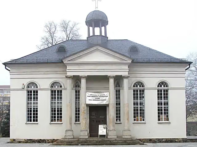
Museum · after 33.7 km
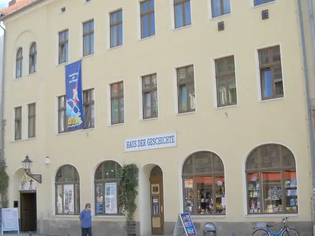
Museum · after 60.7 km
Elevation and terrain
- Up
- ↑ 545 m
- Down
- ↓ 574 m
- Highest point
- 174 m
- Lowest point
- 34 m
Nowhere steeper than 5%.
Elevation from Copernicus GLO-30 (European Union and ESA), smoothed.
produced using Copernicus WorldDEM-30 © DLR e.V. 2010-2014 and © Airbus Defence and Space GmbH 2014-2018 provided under COPERNICUS by the European Union and ESA; all rights reserved
Way types
195.6 km in total- Path: 59.6 km
- Track: 48 km
- Street: 39.9 km
- Road: 21 km
- Cycle path: 16.5 km
- Busy road: 8.2 km
- Footpath (walk your bike): 2 km
Surfaces
195.6 km in total- Asphalt: 150.5 km
- Paved: 24.5 km
- Gravel: 17.8 km
- Unpaved: 475 m
- Unknown: 1.9 km
About the cycle route Radweg Deutsche Einheit - Abschnitt 5: Dessau - Berlin
Updated on 14 November 2026, with data from OpenStreetMap, the AHN and Copernicus.
Where do you cycle?
Radweg Deutsche Einheit - Abschnitt 5: Dessau - Berlin is a cycle route of 195.6 km that starts in Dessau-Roßlau. It does not end where it starts. Along the way you pass Dreifußaltar (after 84 m), Ionischer Tempel (after 178 m) and Weißer Bogen (after 588 m).
How hard is the route?
You climb 545 m in total and descend 574 m. Allow ± 13:00 h, without breaks. The level is hard.
What roads do you cycle on?
The longest part is path (59.6 km), track (48 km) and street (39.9 km). Of the surface, 150.5 km asphalt and 24.5 km paved. For 1.9 km the surface is not known.
Pitstops along the way
Within 100 metres of the route there are 838 benches, 18 water fountains and refill points, 53 public toilets and 5 bike pumps. The longest stretch without a toilet is 43.5 km. The Outdoor Pitstop app navigates you there.
Part of Radweg Deutsche Einheit
Cycle routes nearby
6- [D11] Ostsee-Oberbayern 05 [Sachsen-Anhalt Nord]Hard · From A to B105.8 km
- Radweg Deutsche Einheit - Abschnitt 4: Goslar - DessauHard · From A to B212.9 km
- D-Netz Route 3Hard · From A to B85.9 km
- Europaradweg R1 - Abschnitt Deutschland Teil 4Hard · From A to B237.1 km
- EuroVelo 2 - Germany part 4Hard · From A to B237.1 km
- [D10] Elberadweg linkselbisch [Abschnitt K]Moderate · From A to B59.3 km
Sights nearby
Within 10 km of the route, best known first.
- 1
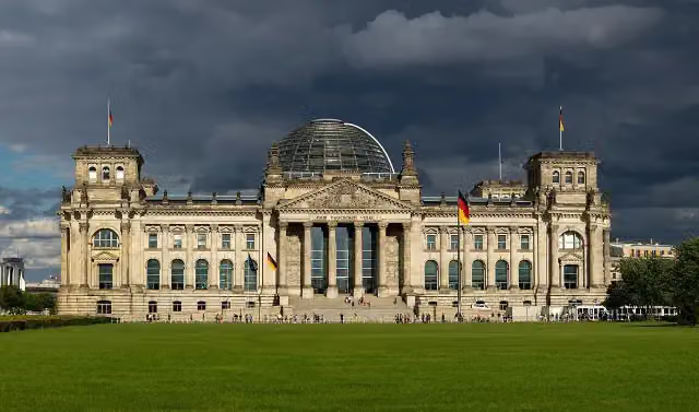 Reichstag BuildingAttraction · 282 m from the route
- 2
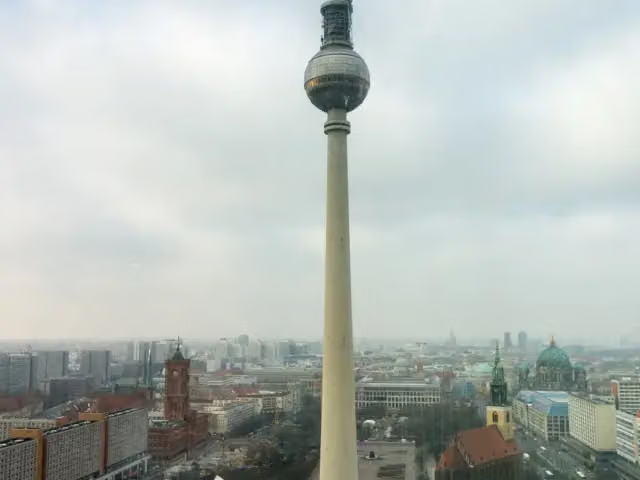 Fernsehturm BerlinAttraction · 2 km from the route
- 3
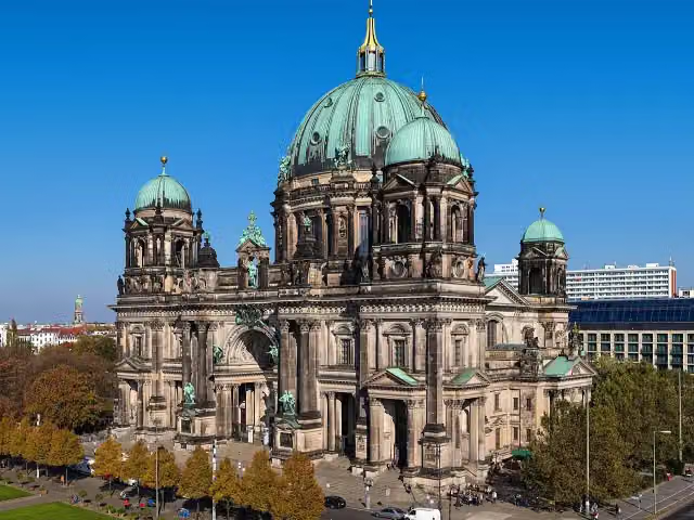 Berlin CathedralAttraction · 1.4 km from the route
- 4
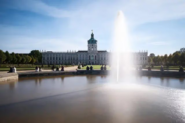 Charlottenburg PalaceCastle · 1.1 km from the route
- 5
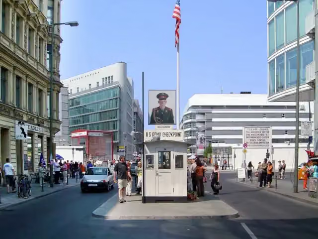 Checkpoint CharlieAttraction · 1.2 km from the route
- 6
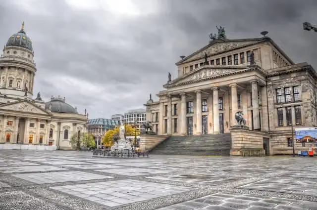 GendarmenmarktAttraction · 831 m from the route
- 7
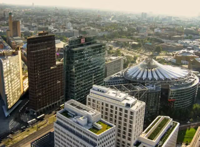 Potsdamer PlatzAttraction · 763 m from the route
- 8
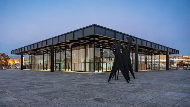 Neue NationalgalerieMuseum · 943 m from the route
- 9
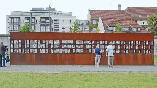 Berlin Wall MemorialAttraction · 1.4 km from the route
- 10
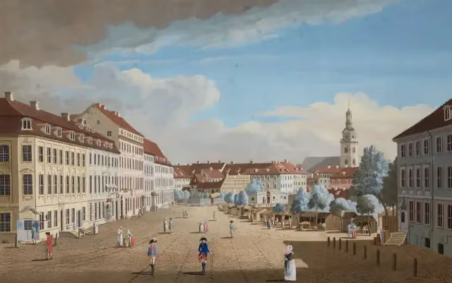 Hackescher MarktAttraction · 1.5 km from the route
- 11
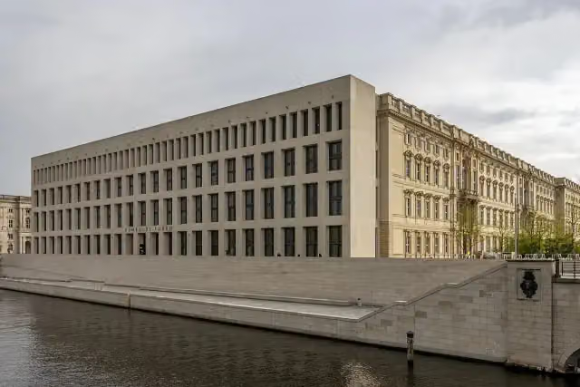 Humboldt ForumMuseum · 1.4 km from the route
- 12
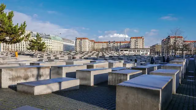 Memorial to the Murdered Jews of EuropeAttraction · 251 m from the route
- 13
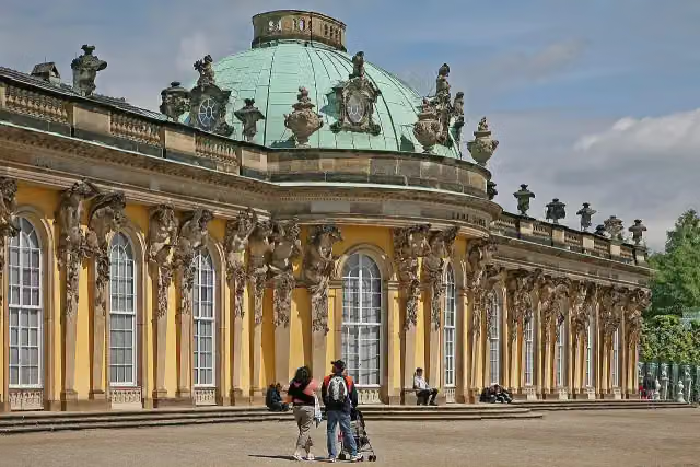 Sanssouci PalaceAttraction · 680 m from the route
- 14
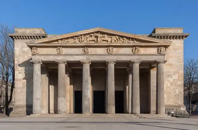 New Guard HouseAttraction · 1 km from the route
- 15
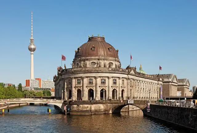 Museum IslandAttraction · 1.2 km from the route
- 16
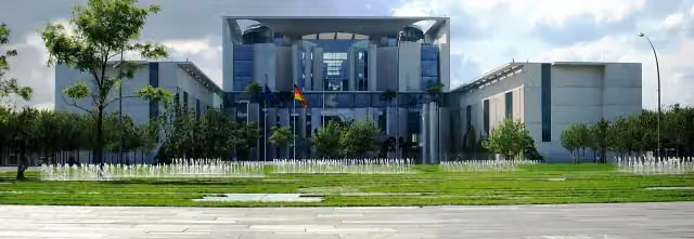 Federal ChancelleryAttraction · 499 m from the route
- 17
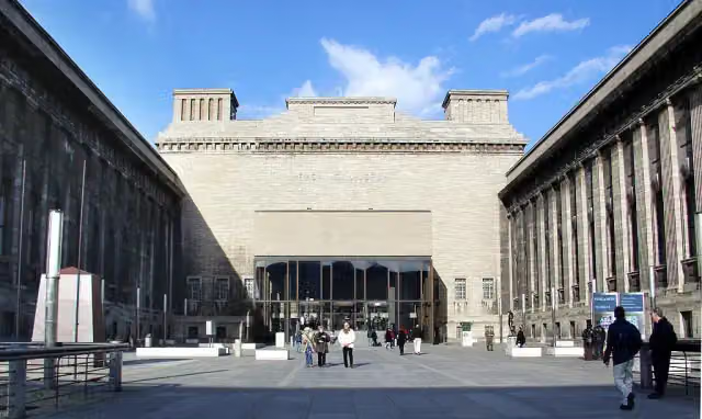 Pergamon MuseumMuseum · 1.1 km from the route
- 18
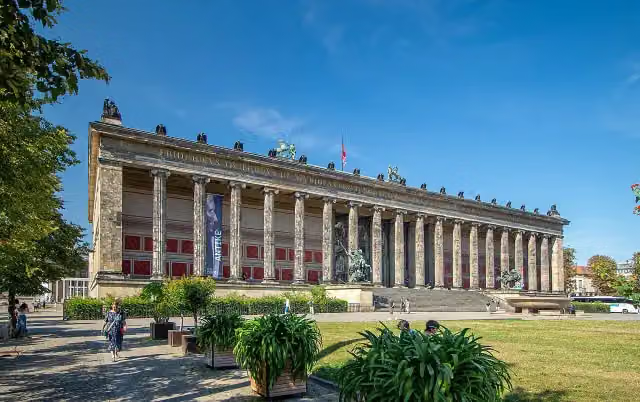 Old MuseumMuseum · 1.2 km from the route
- 19
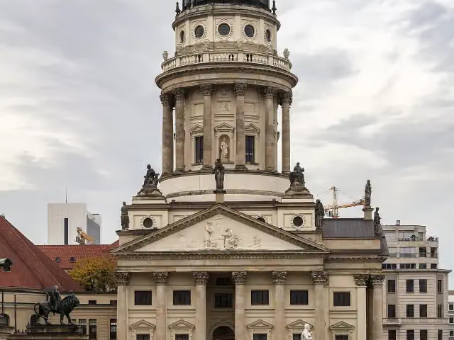 French CathedralAttraction · 810 m from the route
- 20
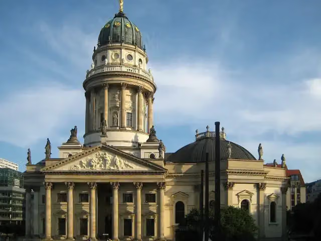 New ChurchAttraction · 895 m from the route
- 21
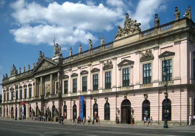 German Historical MuseumMuseum · 1.1 km from the route
- 22
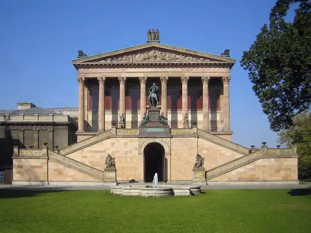 Old National GalleryMuseum · 1.2 km from the route
- 23
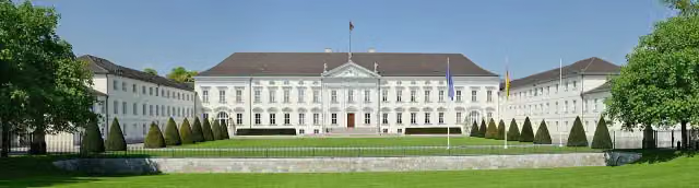 Bellevue PalaceAttraction · 313 m from the route
- 24
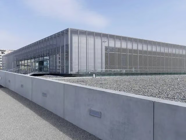 Topography of TerrorMuseum · 1.1 km from the route
- 25
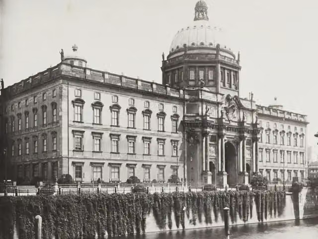 Berlin PalaceAttraction · 1.4 km from the route
Explore more
Frequently asked questions
How long is Radweg Deutsche Einheit - Abschnitt 5: Dessau - Berlin?
Radweg Deutsche Einheit - Abschnitt 5: Dessau - Berlin is 195.6 km long. Allow ± 13:00 h of riding: 15 km an hour, without breaks.
Is this route a circular ride?
No, the route starts and ends at different spots.
Where does this route start?
The route starts in Dessau-Roßlau.
How hard is this route?
Hard, with 545 m of climbing.
Are there toilets along this route?
Yes, there are 53 public toilets within 100 m of the route. The longest stretch without a toilet is 43.5 km.
Can you fill up with water along this route?
Yes, there are 18 water fountains and refill points within 100 m of the route.
What is there to see along this route?
Along the way you pass Dreifußaltar, Ionischer Tempel and Weißer Bogen.
Can I download this route as a GPX file?
Yes. Sign in with your Outdoor Pitstop account and choose Download GPX at the top of this page: 10 routes a month for free, unlimited with Pro.
Starting point
More routes from this place
Route data © OpenStreetMap contributors





