 Outdoor Pitstop
Cycle route · Oranienburg · Updated on 14 November 2026
[D11] Ostsee-Oberbayern 03 [Brandenburg Mitte] cycle route
[D11] Ostsee-Oberbayern 03 [Brandenburg Mitte] is a cycle route of 64.9 km from Oranienburg. Along the way you'll find 751 benches, 5 water fountains and refill points, 23 public toilets and 5 bike pumps.
i
i
i
The route step by step
From start to finish, with what you pass along the way and the distance in between.
- 64.9 km
- ± 4:20 h
- ↑ 101 m · ↓ 79 m
- Hard
- From A to B
- National route
Start in Oranienburg
0 km4.9 km · 17 benches
Public toilet
4.9 km2.1 km · bench
Bike pump
7.1 km12.9 km · 41 benches
Public toilet, water point and bike pump
20 km11 km · 28 benches
Public toilet
31 km1.2 km · 12 benches
Bike pump
32.2 km2.8 km · 5 benches
Public toilet
35 km1.5 km · 13 benches
Public toilet
36.5 km6.1 km · 24 benches
Public toilet
42.5 km7.6 km · 43 benches
Public toilet and water point
50.1 km981 m · 58 benches
Public toilet
51.1 km416 m · 32 benches

Gedenkstätte Günter Litfin
51.5 kmAttraction
976 m · 65 benches
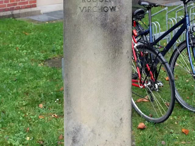
Rudolf Virchow and 1 more
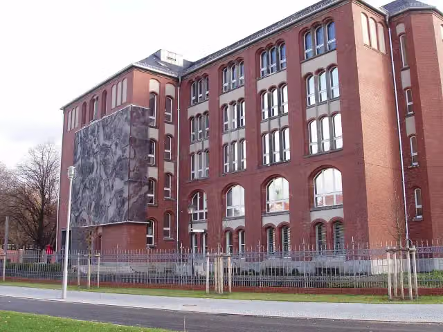
52.5 kmBerlin Museum of Medical History at the Charité
272 m · 39 benches
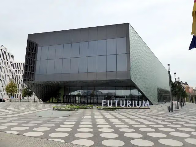
Futurium
52.7 kmMuseum
634 m · 86 benches
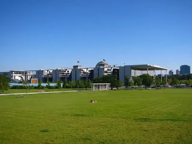
Paul-Löbe-Haus
53.4 kmAttraction
345 m · 45 benches
Gedenkstein für polnische Nazi-Opfer
53.7 kmMemorial
358 m · 10 benches
Memorial to the Murdered Members of the Reichstag and 4 more
54.1 kmUnity Flag, Memorial to the Sinti and Roma victims of National Socialism, Reichstag dome and Reichstag Building
234 m · 18 benches
Max-Liebermann-Haus and 1 more
54.3 kmBrandenburg Gate and public toilet
177 m · 14 benches
The Caller
54.5 kmPublic toilet and water point
272 m · 5 benches
Soviet War Memorial Tiergarten and 1 more
54.8 kmSoviet Soldier
1.4 km · 54 benches
Victory Column
56.2 kmBike pump
254 m · 17 benches
2 public toilets
56.4 km701 m · 25 benches
Bremer Weg
57.1 kmPublic toilet
465 m · 20 benches
Friedrich I. and 1 more
57.6 kmSophie Charlotte
342 m · 5 benches
Werner von Siemens
57.9 kmPublic toilet
184 m · bench
Public toilet
58.1 km315 m · 11 benches
5 public toilets
58.4 km758 m · 3 benches
Der Tod des Demonstranten
59.2 kmMemorial
515 m
Denkmal für im Verkehr verunglückte Kinder
59.7 kmMemorial
719 m · 24 benches
Public toilet and water point
60.4 km
Show the other 3 steps
1.2 km · 13 benches
Ewige Flamme
61.6 kmPublic toilet and water point
942 m · 8 benches
Bike pump
62.6 km2.4 km · 14 benches
Finish
64.9 kmAt the finish: public toilet.
Longest stretch without a toilet: 15.1 kmBetween 4.9 km and 20 km there is no public toilet within 100 m of the route.
The route with the pitstops and sights within 100 m of it.
24 sights along the way
In the order you pass them. With the Outdoor Pitstop app you hear their story on the spot. 16 more along the route are on the map.
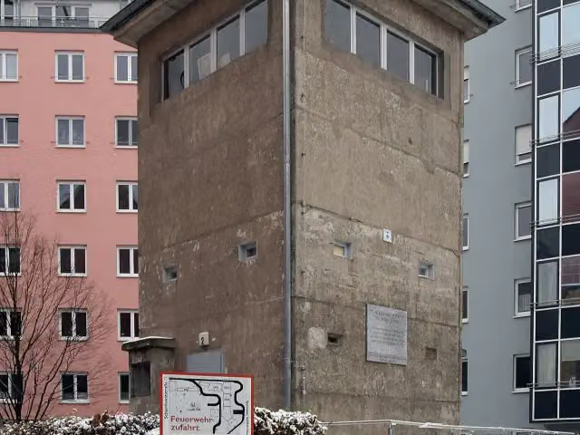
Attraction · after 51.5 km
i
Photo: OTFW, Berlin · Wikimedia Commons · CC BY-SA 3.0View the photo on Wikimedia CommonsMemorial · after 52.5 km
Museum · after 52.5 km
i
Photo: Fridolin freudenfett · Wikimedia Commons · CC BY-SA 4.0View the photo on Wikimedia CommonsMuseum · after 52.7 km
i
Photo: Andreas Steinhoff · Wikimedia Commons · AttributionView the photo on Wikimedia CommonsAttraction · after 53.4 km
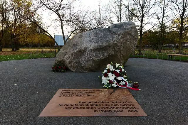
Memorial · after 53.7 km
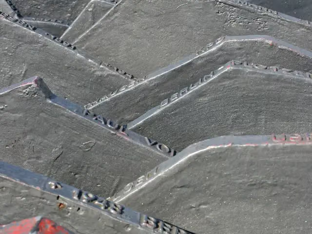
i
Photo: Photograph by Mike Peel (www.mikepeel.net). · Wikimedia Commons · CC BY-SA 4.0View the photo on Wikimedia CommonsMemorial · after 54.1 km
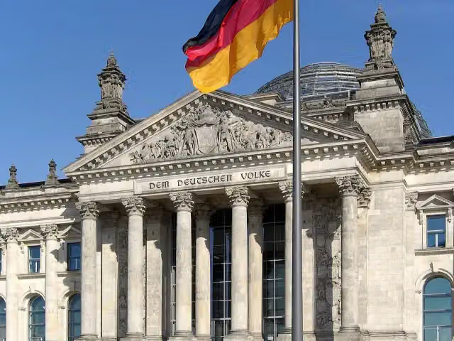
i
Photo: Berthold Werner · Wikimedia Commons · CC BY-SA 3.0View the photo on Wikimedia CommonsMemorial · after 54.1 km
Elevation and terrain
- Up
- ↑ 101 m
- Down
- ↓ 79 m
- Highest point
- 70 m
- Lowest point
- 32 m
Nowhere steeper than 5%.
Elevation from Copernicus GLO-30 (European Union and ESA), smoothed.
produced using Copernicus WorldDEM-30 © DLR e.V. 2010-2014 and © Airbus Defence and Space GmbH 2014-2018 provided under COPERNICUS by the European Union and ESA; all rights reserved
Way types
64.9 km in total- Path: 22.3 km
- Street: 20.8 km
- Cycle path: 7.4 km
- Road: 6.5 km
- Footpath (walk your bike): 3.3 km
- Busy road: 3.1 km
- Track: 125 m
- Unknown: 1.3 km
Surfaces
64.9 km in total- Asphalt: 55 km
- Paved: 8.6 km
- Gravel: 975 m
- Unknown: 175 m
About the cycle route [D11] Ostsee-Oberbayern 03 [Brandenburg Mitte]
Updated on 14 November 2026, with data from OpenStreetMap, the AHN and Copernicus.
Where do you cycle?
[D11] Ostsee-Oberbayern 03 [Brandenburg Mitte] is a cycle route of 64.9 km that starts in Oranienburg. It does not end where it starts. You start in Friedrichsthal and finish in Berlin. Along the way you pass Gedenkstätte Günter Litfin (after 51.5 km), Rudolf Virchow (after 52.5 km) and Berlin Museum of Medical History at the Charité (after 52.5 km).
How hard is the route?
You climb 101 m in total and descend 79 m. Allow ± 4:20 h, without breaks. The level is hard.
What roads do you cycle on?
The longest part is path (22.3 km), street (20.8 km) and cycle path (7.4 km). Of the surface, 55 km asphalt and 8.6 km paved. For 175 m the surface is not known.
Pitstops along the way
Within 100 metres of the route there are 751 benches, 5 water fountains and refill points, 23 public toilets and 5 bike pumps. You can fill your bottle after 20 km, after 50.1 km, after 54.5 km, after 60.4 km and after 61.7 km. The longest stretch without a toilet is 15.1 km. The Outdoor Pitstop app navigates you there.
Part of Radweg D11: Ostsee <> Oberbayern
Cycle routes nearby
6- Havel-RadwegHard · From A to B396.1 km
- Ruppiner Seen-Kultur-RadwegHard · Circular ride217.3 km
- [D11] Ostsee-Oberbayern 02 [Brandenburg Nord]Hard · From A to B180.2 km
- Eurovelo 7 - Sun Route - part GermanyHard · From A to B737.9 km
- Rund um Berlin Teil 1 [Altlandsberg↔Oranienburg]Hard · From A to B70 km
- Radfernweg Berlin-Kopenhagen BrandenburgHard · From A to B135.4 km
Sights nearby
Within 10 km of the route, best known first.
- 1
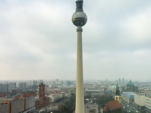 Fernsehturm BerlinAttraction · 2.2 km from the route
- 2
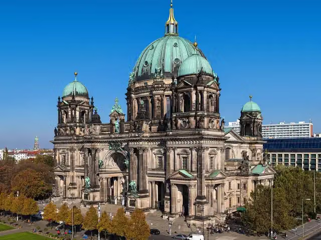 Berlin CathedralAttraction · 1.6 km from the route
- 3
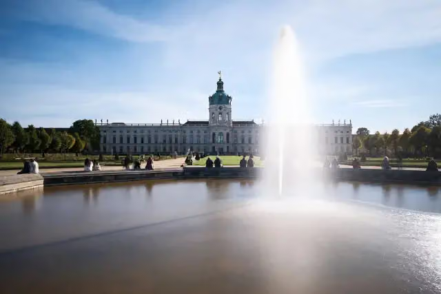 Charlottenburg PalaceCastle · 1.1 km from the route
- 4
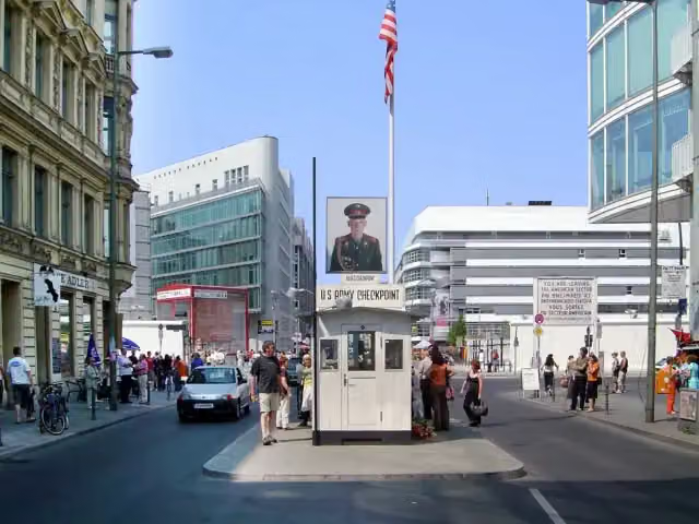 Checkpoint CharlieAttraction · 1.3 km from the route
- 5
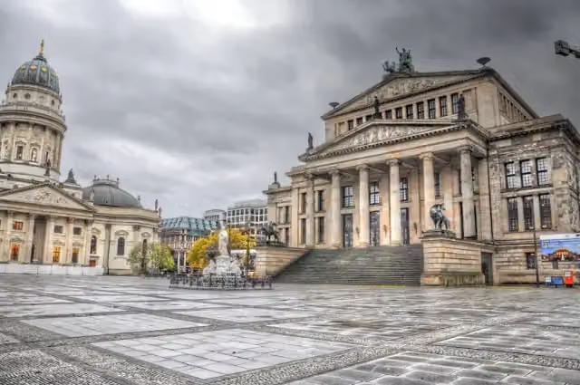 GendarmenmarktAttraction · 1.1 km from the route
- 6
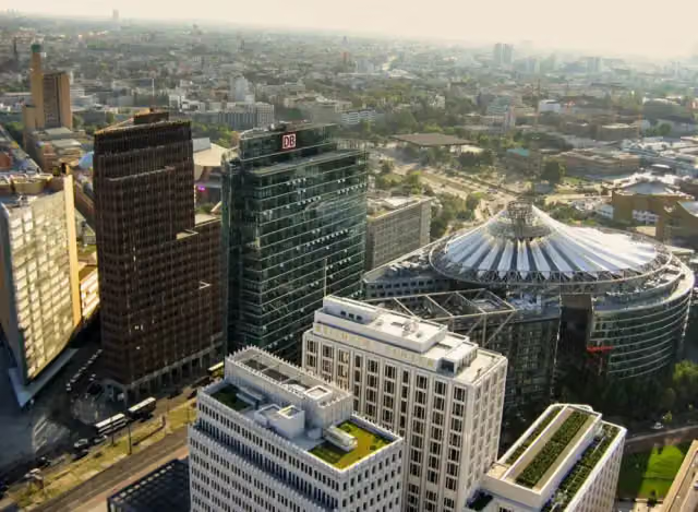 Potsdamer PlatzAttraction · 770 m from the route
- 7
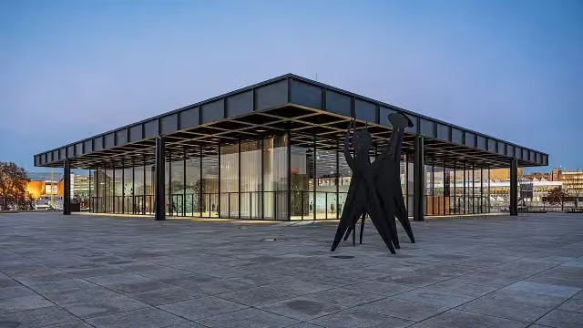 Neue NationalgalerieMuseum · 947 m from the route
- 8
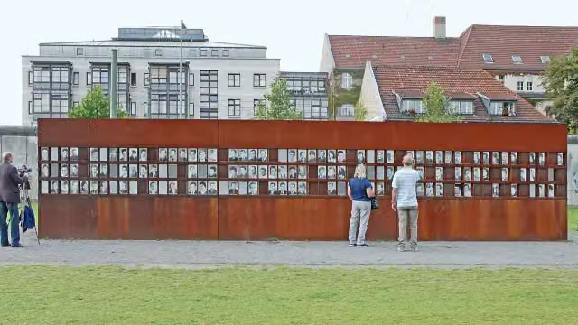 Berlin Wall MemorialAttraction · 1.7 km from the route
- 9
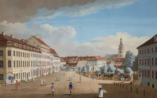 Hackescher MarktAttraction · 1.8 km from the route
- 10
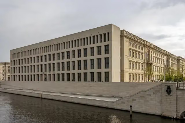 Humboldt ForumMuseum · 1.6 km from the route
- 11
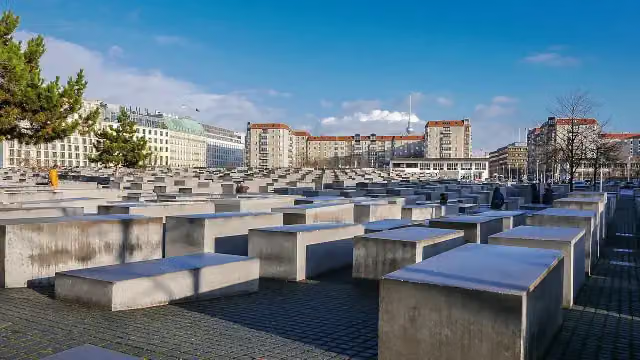 Memorial to the Murdered Jews of EuropeAttraction · 277 m from the route
- 12
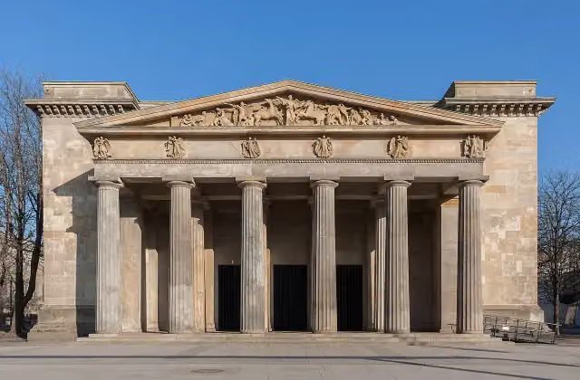 New Guard HouseAttraction · 1.2 km from the route
- 13
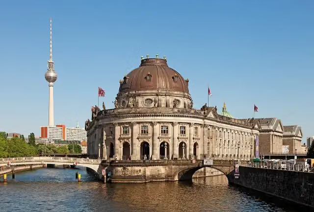 Museum IslandAttraction · 1.4 km from the route
- 14
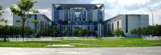 Federal ChancelleryAttraction · 162 m from the route
- 15
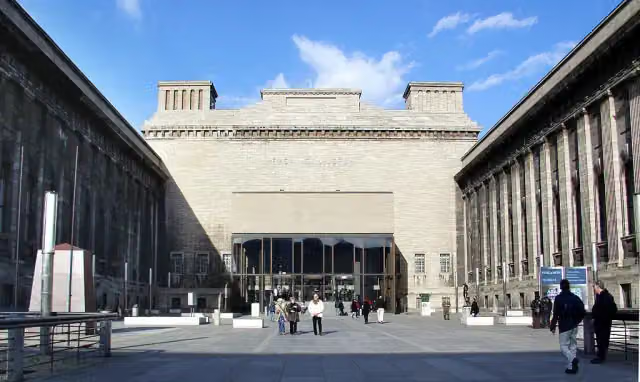 Pergamon MuseumMuseum · 1.4 km from the route
- 16
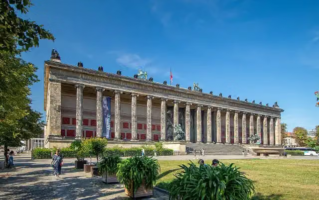 Old MuseumMuseum · 1.5 km from the route
- 17
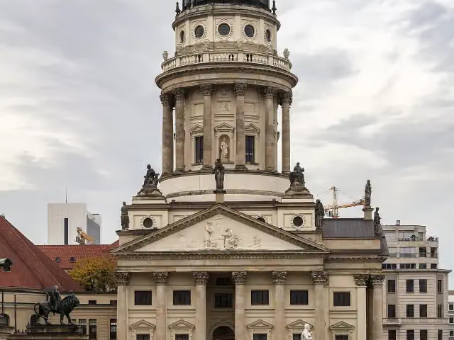 French CathedralAttraction · 1.1 km from the route
- 18
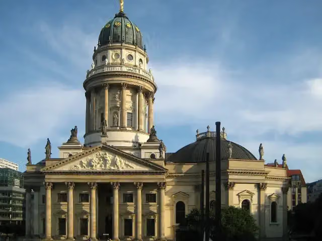 New ChurchAttraction · 1.1 km from the route
- 19
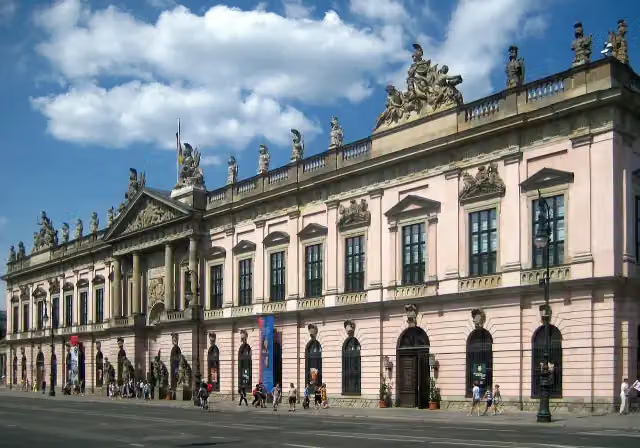 German Historical MuseumMuseum · 1.3 km from the route
- 20
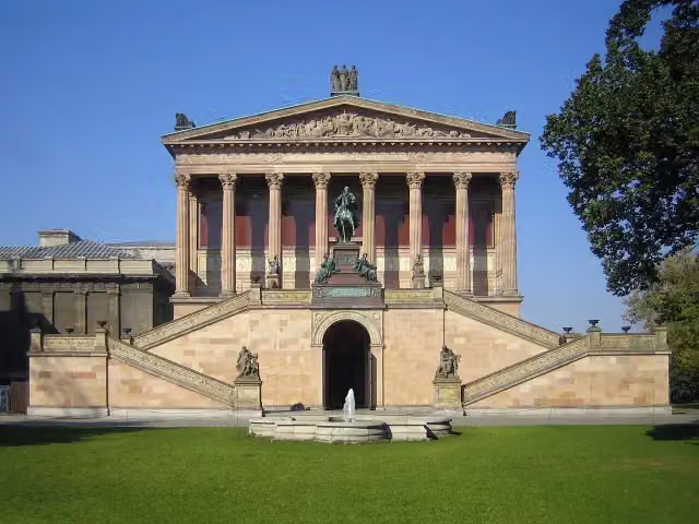 Old National GalleryMuseum · 1.5 km from the route
- 21
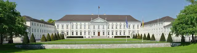 Bellevue PalaceAttraction · 313 m from the route
- 22
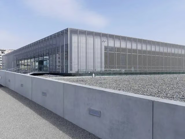 Topography of TerrorMuseum · 1.2 km from the route
- 23
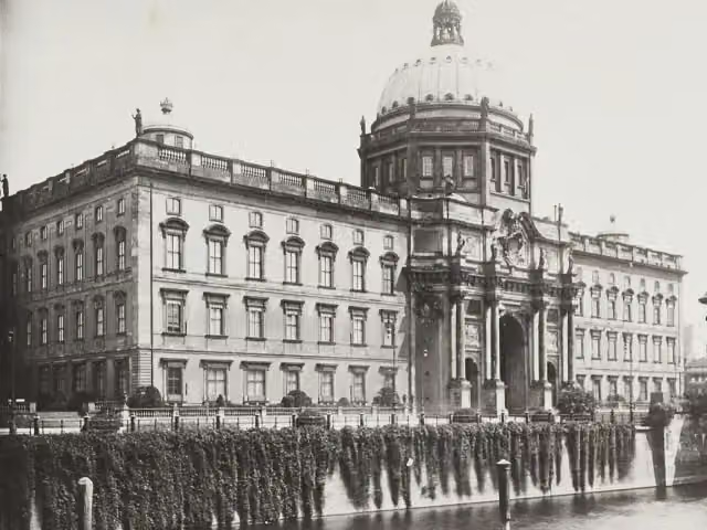 Berlin PalaceAttraction · 1.6 km from the route
- 24
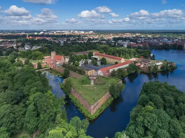 Spandau CitadelAttraction · 2.2 km from the route
- 25
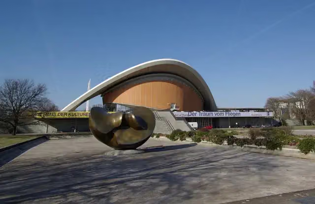 House of the Cultures of the WorldMuseum · 387 m from the route
Explore more
More cycle routes around Oranienburg
Frequently asked questions
How long is [D11] Ostsee-Oberbayern 03 [Brandenburg Mitte]?
[D11] Ostsee-Oberbayern 03 [Brandenburg Mitte] is 64.9 km long. Allow ± 4:20 h of riding: 15 km an hour, without breaks.
Is this route a circular ride?
No, the route runs from Friedrichsthal to Berlin.
Where does this route start?
The route starts in Oranienburg.
How hard is this route?
Hard, with 101 m of climbing.
Are there toilets along this route?
Yes, there are 23 public toilets within 100 m of the route. The longest stretch without a toilet is 15.1 km.
Can you fill up with water along this route?
Yes, there are 5 water fountains and refill points within 100 m of the route.
What is there to see along this route?
Along the way you pass Gedenkstätte Günter Litfin, Rudolf Virchow and Berlin Museum of Medical History at the Charité.
Can I download this route as a GPX file?
Yes. Sign in with your Outdoor Pitstop account and choose Download GPX at the top of this page: 10 routes a month for free, unlimited with Pro.
Starting point
More routes from this place
Route data © OpenStreetMap contributors





