 Outdoor Pitstop
Cycle route · Rühstädt · Updated on 14 November 2026
Havel-Radweg cycle route
Havel-Radweg is a cycle route of 396.1 km from Rühstädt. Along the way you'll find 974 benches, 11 water fountains and refill points, 44 public toilets, 21 bike pumps and 2 honesty boxes and farm vending machines.
i
i
i
The route step by step
From start to finish, with what you pass along the way and the distance in between.
- 396.1 km
- ± 26:25 h
- ↑ 775 m · ↓ 715 m
- Hard
- From A to B
- Regional route
Start in Rühstädt
0 km30 km · 4 benches

Observation tower
30 kmObservation tower
18.1 km
Public toilet
48 km8.2 km · 2 benches
Water point and bike pump
56.3 km5 km · 4 benches
Public toilet
61.2 km1.1 km
Public toilet
62.3 km33.2 km · 22 benches
Public toilet
95.5 km12.6 km · 12 benches
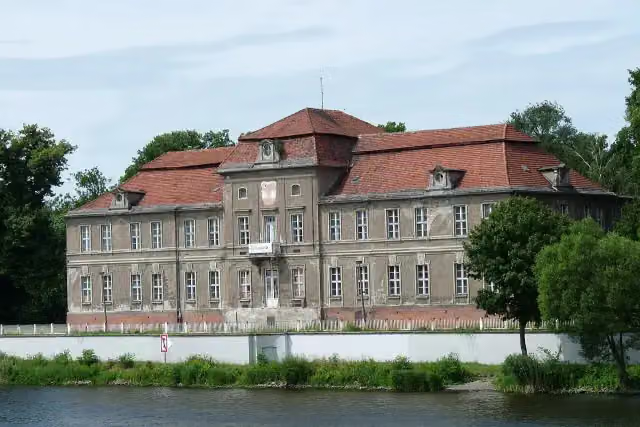
Schloss Plaue
108.1 kmPublic toilet
6.1 km · 18 benches
Bike pump
114.2 km3.9 km · 3 benches
Public toilet and water point
118.2 km4.5 km · 3 benches
Public toilet and bike pump
122.7 km167 m
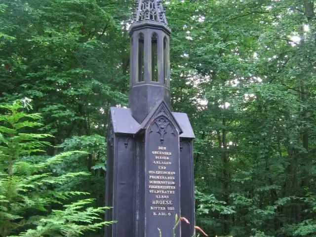
Brösedenkmal
122.8 kmMemorial
4.3 km · 6 benches
Bike pump
127.1 km616 m · 3 benches
Public toilet
127.8 km267 m
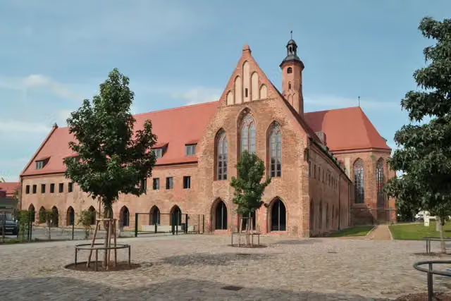
Straßenbahnmuseum
128 kmMuseum
248 m · 16 benches
Public toilet
128.3 km339 m · 38 benches
Public toilet and bike pump
128.6 km1.4 km · 65 benches
Water point and bike pump
130 km341 m · 8 benches
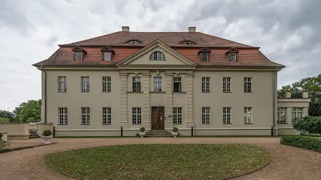
Archäologisches Landesmuseum Brandenburg
130.3 kmPublic toilet
923 m · 25 benches
Public toilet and bike pump
131.2 km3.7 km · 5 benches
Public toilet
134.9 km3.3 km
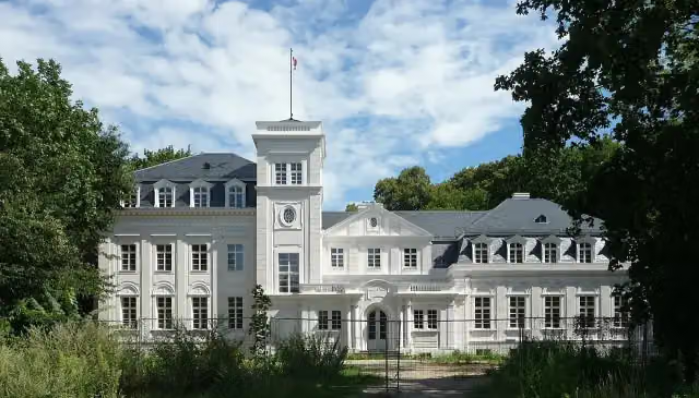
Gutshaus Gollwitz
138.2 kmCastle
1 km
Bike pump
139.2 km10.2 km · 5 benches
Bike pump
149.5 km22.6 km · 2 benches
Honesty box
172 km573 m
Public toilet
172.6 km9.8 km · 25 benches
Water point
182.4 km315 m
Bike pump
182.7 km2.6 km · 11 benches
Villa Carlshagen
185.4 kmAttraction
972 m · 19 benches
Public toilet
186.4 km
Show the other 46 steps
635 m · 12 benches
Public toilet
187 km1.3 km · 44 benches
Dampfmaschinenhaus (Moschee)
188.3 kmPublic toilet
433 m · 10 benches
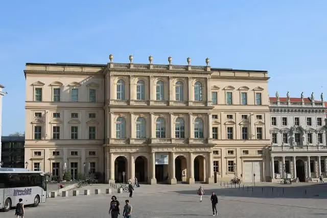
Obelisk des Neustädter Tores and 2 more
188.7 kmNaturkundemuseum, Waisenhaus-Museum Potsdam and bike pump
456 m · 9 benches
Brandenburg Museum für Zukunft, Gegenwart und Geschichte and 2 more
189.2 kmFriedrich Wilhelm von Steuben, Filmmuseum Potsdam and public toilet
208 m · 10 benches
Ringerkolonnade and 1 more
189.4 kmBittschriftenlinde and public toilet
190 m
City Palace and 3 more
189.6 kmFortunaportal, Museum Barberini and Potsdam Museum
151 m · 22 benches
Obelisk and 1 more
189.7 kmAlter Markt
379 m · 26 benches
Public toilet
190.1 km589 m · 12 benches
Bike pump
190.7 km2.2 km · 12 benches
Glienicker Brücke
192.9 kmAttraction · Audio story · 2 min
7.8 km · 24 benches
Public toilet
200.6 km199 m · 8 benches
Public toilet
200.8 km4.3 km · 19 benches
2 public toilets and bike pump
205.1 km3.4 km · 24 benches
Public toilet
208.5 km2 km · 13 benches
Public toilet
210.5 km2.3 km · 17 benches
Public toilet
212.8 km1.6 km · 20 benches
Public toilet
214.4 km514 m · 3 benches
Water point
214.9 km2 km · 12 benches
Water point
216.9 km686 m · 21 benches
Denkmal des Garde-Grenadier-Regiments Nr. 5
217.6 kmMemorial
509 m · 34 benches
Mahnmal für die im Nationalsozialismus verfolgten Juden in Spandau
218.1 kmPublic toilet
685 m · 22 benches
Public toilet and water point
218.8 km714 m · 29 benches
Water point
219.5 km1.8 km · 22 benches
Water point
221.3 km3.8 km · 35 benches
Public toilet
225.1 km1.5 km · 13 benches
Public toilet
226.6 km2.8 km · 5 benches
Bike pump
229.4 km1.2 km · 12 benches
Public toilet
230.6 km11 km · 28 benches
Public toilet, water point and bike pump
241.6 km12.9 km · 41 benches
Bike pump
254.5 km2.1 km · bench
Public toilet
256.6 km18.6 km · 19 benches
Public toilet and honesty box
275.2 km1.1 km · 12 benches
Heimatmuseum Liebenwalde
276.3 kmPublic toilet
14.4 km · 14 benches
Public toilet
290.7 km7.9 km · 14 benches
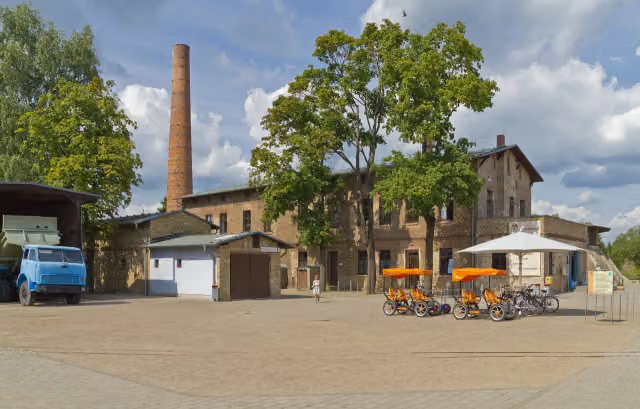
Ziegeleipark Mildenberg
298.6 kmPublic toilet and bike pump
14.7 km · 8 benches
Herrenhaus Dannenwalde
313.3 kmCastle
8.2 km · 8 benches
Public toilet
321.5 km4.2 km · 8 benches
Public toilet
325.7 km706 m · 3 benches
Kloster Himmelpfort
326.4 kmPublic toilet, water point and bike pump
10.4 km · 6 benches
Public toilet
336.8 km4.1 km · 5 benches
Public toilet
340.9 km12.4 km · bench
Bike pump
353.2 km25 km · 6 benches
Bike pump
378.2 km2.3 km
Bike pump
380.6 km9.9 km · 6 benches
Turmhügel Kratzeburg
390.5 kmArchaeological site
5.6 km · 6 benches
Finish
396.1 km
Longest stretch without a toilet: 55.2 kmBetween 340.9 km and 396.1 km there is no public toilet within 100 m of the route.
The route with the pitstops and sights within 100 m of it.
30 sights along the way
In the order you pass them. With the Outdoor Pitstop app you hear their story on the spot. 22 more along the route are on the map.

Observation tower · after 30 km
i
Photo: Biberbaer · Wikimedia Commons · CC BY-SA 3.0View the photo on Wikimedia CommonsCastle · after 108.1 km
i
Photo: No machine-readable author provided. Martinum~commonswiki assumed (based on copyright claims). · Wikimedia Commons · CC BY-SA 3.0View the photo on Wikimedia CommonsMemorial · after 122.8 km
Museum · after 128 km
i
Photo: Sommer · Wikimedia Commons · CC BY-SA 3.0View the photo on Wikimedia CommonsMuseum · after 130.5 km
i
Photo: A.Savin · Wikimedia Commons · FALView the photo on Wikimedia CommonsCastle · after 138.2 km
i
Photo: Suse · Wikimedia Commons · CC BY-SA 4.0View the photo on Wikimedia CommonsAttraction · after 185.4 km
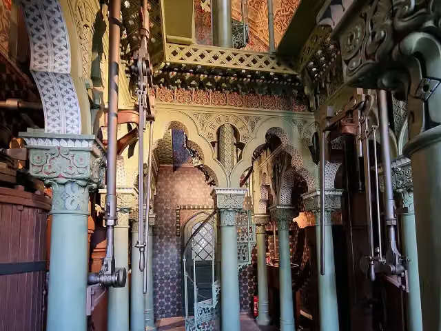
i
Photo: Rigorius · Wikimedia Commons · CC BY-SA 4.0View the photo on Wikimedia CommonsAttraction · after 188.3 km
Elevation and terrain
- Up
- ↑ 775 m
- Down
- ↓ 715 m
- Highest point
- 100 m
- Lowest point
- 25 m
Nowhere steeper than 5%.
Elevation from Copernicus GLO-30 (European Union and ESA), smoothed.
produced using Copernicus WorldDEM-30 © DLR e.V. 2010-2014 and © Airbus Defence and Space GmbH 2014-2018 provided under COPERNICUS by the European Union and ESA; all rights reserved
Way types
396.1 km in total- Path: 126.7 km
- Road: 84 km
- Street: 73.5 km
- Track: 47.3 km
- Cycle path: 23.9 km
- Busy road: 20 km
- Footpath (walk your bike): 15.6 km
- Unknown: 4.2 km
Surfaces
396.1 km in total- Asphalt: 292.4 km
- Paved: 79.3 km
- Gravel: 10.1 km
- Unpaved: 525 m
- Unknown: 12.9 km
About the cycle route Havel-Radweg
Updated on 14 November 2026, with data from OpenStreetMap, the AHN and Copernicus.
Where do you cycle?
Havel-Radweg is a cycle route of 396.1 km that starts in Rühstädt. It does not end where it starts. Along the way you pass Observation tower (after 30 km), Schloss Plaue (after 108.1 km) and Brösedenkmal (after 122.8 km).
How hard is the route?
You climb 775 m in total and descend 715 m. Allow ± 26:25 h, without breaks. The level is hard.
What roads do you cycle on?
The longest part is path (126.7 km), road (84 km) and street (73.5 km). Of the surface, 292.4 km asphalt and 79.3 km paved. For 12.9 km the surface is not known.
Pitstops along the way
Within 100 metres of the route there are 974 benches, 11 water fountains and refill points, 44 public toilets, 21 bike pumps and 2 honesty boxes and farm vending machines. The longest stretch without a toilet is 55.2 km. The Outdoor Pitstop app navigates you there.
The Havel-Radweg is a 396 km long-distance cycle route along the Havel through Mecklenburg-Western Pomerania, Brandenburg, Berlin and Saxony-Anhalt, from the source of the river near Ankershagen to where it joins the Elbe at Gnevsdorf. Opened in 2009, it runs via Zehdenick, Oranienburg, Berlin-Spandau, Potsdam, Werder, Brandenburg an der Havel, Rathenow and Havelberg. In Potsdam it passes the Museum Barberini and the Glienicke Bridge. Nearly three quarters is asphalt. We know of 21 bike pumps, 44 toilets and 11 drinking water points.
Source: Wikipedia (CC BY-SA)
Cycle routes nearby
6- [D10] Elberadweg rechtselbisch [Abschnitt G]Moderate · From A to B38.7 km
- Elbe-Müritz RundwegHard · Circular ride420.3 km
- Tour Brandenburg 3Moderate · From A to B46 km
- Historische Stadtkerne Route 3Hard · From A to B285.2 km
- [D10] Elberadweg linkselbisch [Abschnitt G]Easy · From A to B26.1 km
- HavelradwegEasy · From A to B5.8 km
Sights nearby
Within 10 km of the route, best known first.
- 1
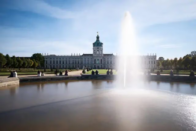 Charlottenburg PalaceCastle · 6.1 km from the route
- 2
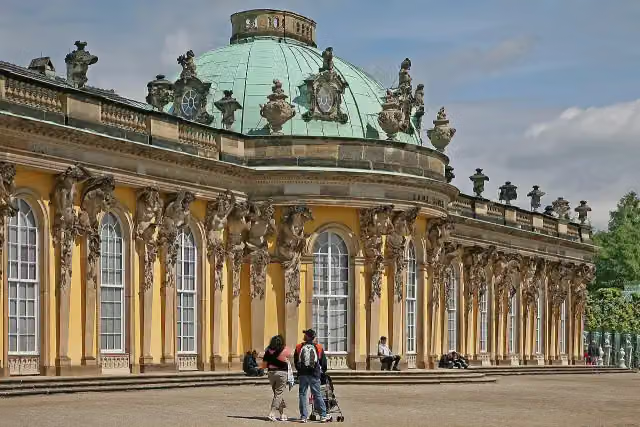 Sanssouci PalaceAttraction · 955 m from the route
- 3
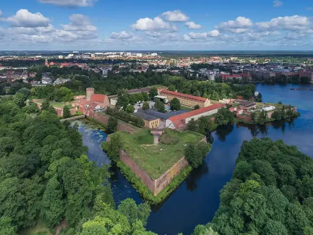 Spandau CitadelAttraction · 299 m from the route
- 4
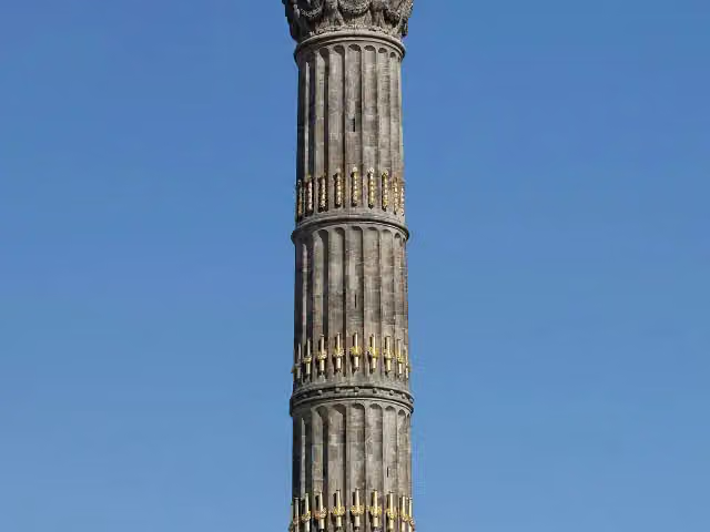 Victory ColumnAttraction · 9.9 km from the route
- 5
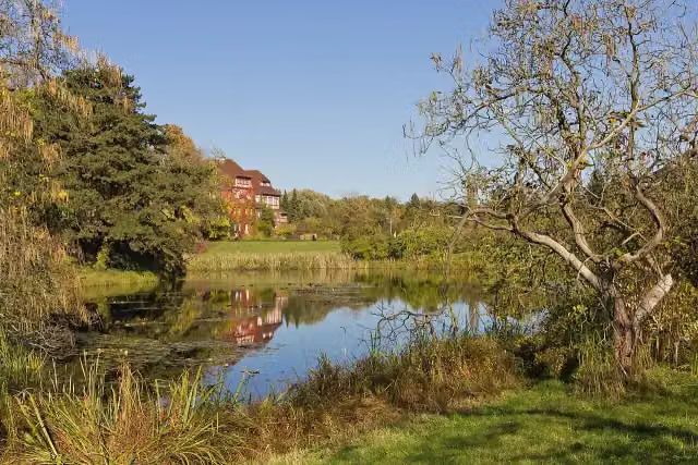 Botanischer GartenAttraction · 8.5 km from the route
- 6
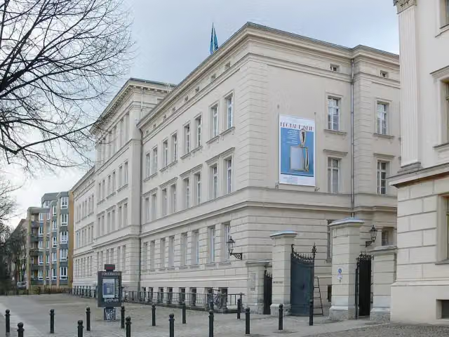 Bröhan MuseumMuseum · 6.1 km from the route
- 7
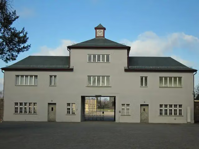 Memorial SachsenhausenMuseum · 872 m from the route
- 8
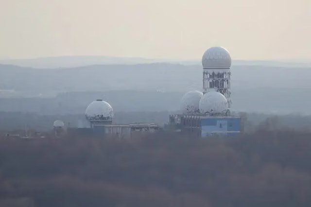 TeufelsbergViewpoint · 3.4 km from the route
- 9
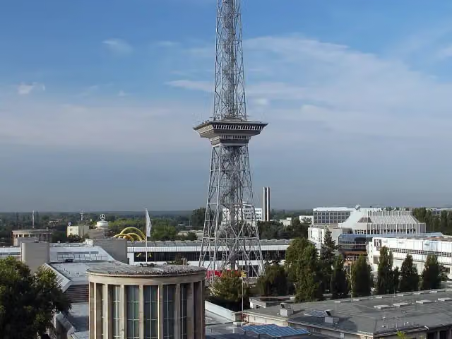 Funkturm BerlinAttraction · 5.3 km from the route
- 10
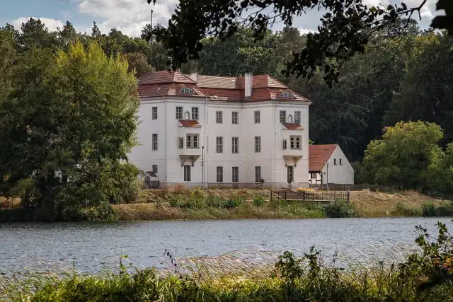 Jagdschloss GrunewaldCastle · 5.3 km from the route
- 11
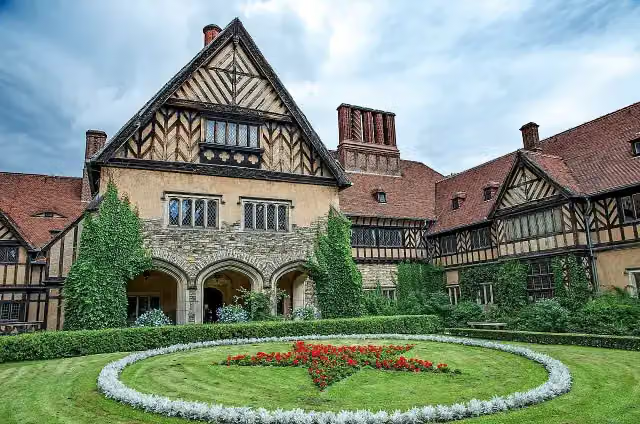 Schloss CecilienhofAttraction · 1.2 km from the route
- 12
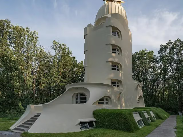 Einstein TowerAttraction · 1.7 km from the route
- 13
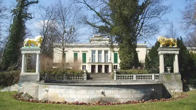 Schloss GlienickeAttraction · 192 m from the route
- 14
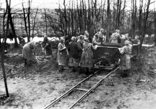 Mahn- und Gedenkstätte RavensbrückAttraction · 344 m from the route
- 15
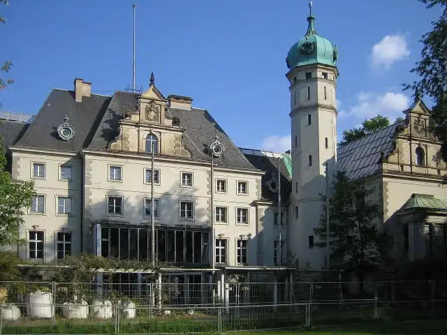 Jagdschloss GlienickeCastle · 463 m from the route
- 16
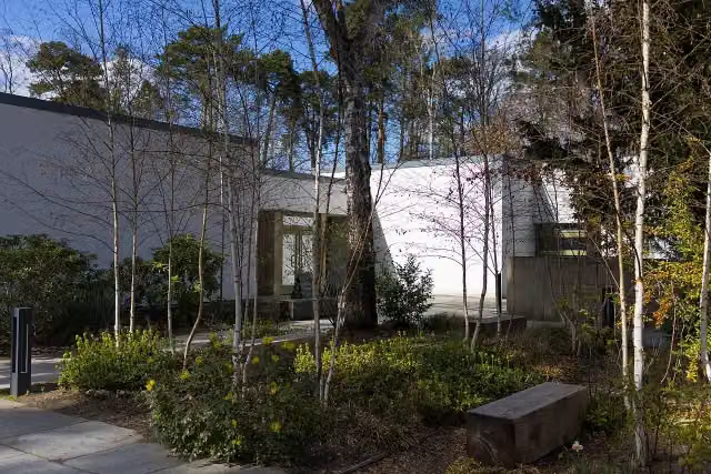 Bridges MuseumMuseum · 6.2 km from the route
- 17
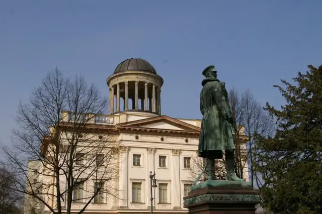 Museum BerggruenMuseum · 6.1 km from the route
- 18
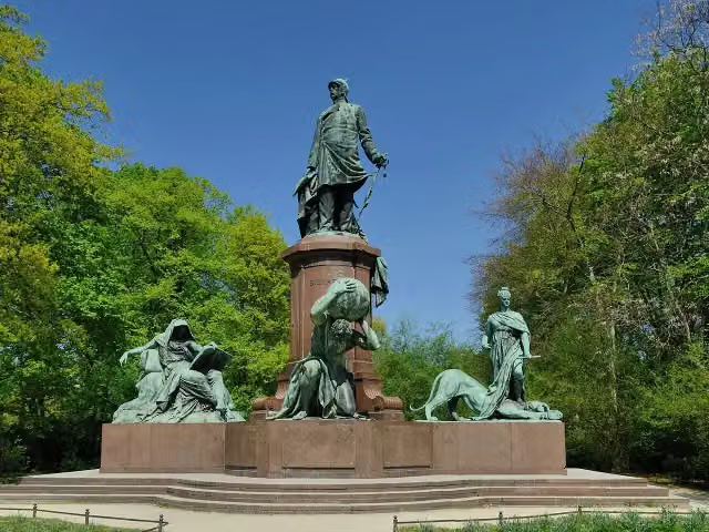 Otto von BismarckMemorial · 9.8 km from the route
- 19
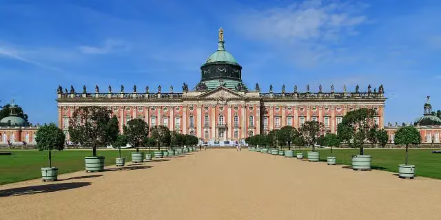 New PalaceAttraction · 1.8 km from the route
- 20
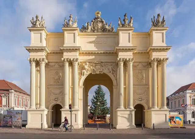 Brandenburger TorAttraction · 383 m from the route
- 21
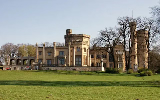 Schloss BabelsbergAttraction · 654 m from the route
- 22
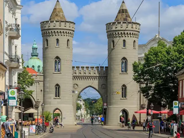 Nauener TorAttraction · 748 m from the route
- 23
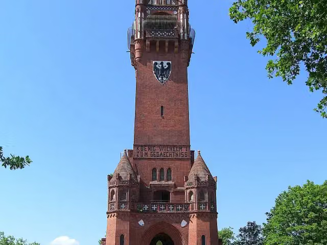 GrunewaldturmObservation tower · 919 m from the route
- 24
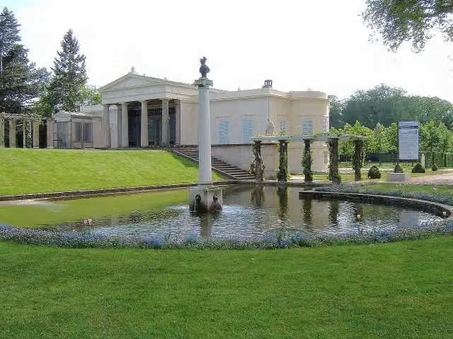 Schloss CharlottenhofCastle · 862 m from the route
- 25
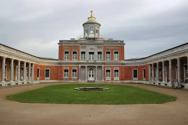 Marmor PalaceAttraction · 681 m from the route
Explore more
More cycle routes around Rühstädt
Frequently asked questions
How long is Havel-Radweg?
Havel-Radweg is 396.1 km long. Allow ± 26:25 h of riding: 15 km an hour, without breaks.
Is this route a circular ride?
No, the route starts and ends at different spots.
Where does this route start?
The route starts in Rühstädt.
How hard is this route?
Hard, with 775 m of climbing.
Are there toilets along this route?
Yes, there are 44 public toilets within 100 m of the route. The longest stretch without a toilet is 55.2 km.
Can you fill up with water along this route?
Yes, there are 11 water fountains and refill points within 100 m of the route.
What is there to see along this route?
Along the way you pass Observation tower, Schloss Plaue and Brösedenkmal.
Can I download this route as a GPX file?
Yes. Sign in with your Outdoor Pitstop account and choose Download GPX at the top of this page: 10 routes a month for free, unlimited with Pro.
Starting point
More routes from this place
Route data © OpenStreetMap contributors





