 Outdoor Pitstop
Cycle route · Neuruppin · Updated on 14 November 2026
Historische Stadtkerne Route 3 cycle route
Historische Stadtkerne Route 3 is a cycle route of 285.2 km from Neuruppin. Along the way you'll find 76 benches, 2 water fountains and refill points, 7 public toilets and 3 bike pumps.
i
i
i
The route step by step
From start to finish, with what you pass along the way and the distance in between.
- 285.2 km
- ± 19:00 h
- ↑ 359 m · ↓ 362 m
- Hard
- From A to B
- Regional route
Start in Neuruppin
0 km494 m

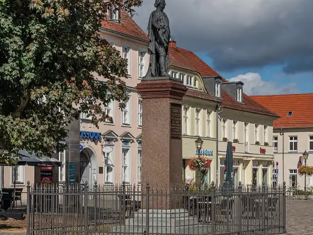
Friedrich Wilhelm II. and 2 more
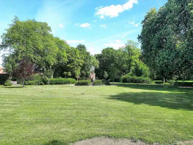
494 mOpfer des Faschismus, Karl Marx and water point
518 m · 15 benches
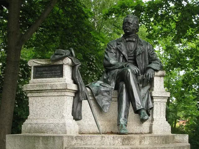
Theodor Fontane
1 kmMemorial
41.5 km · 2 benches
Museum des Dreißigjährigen Krieges and 1 more
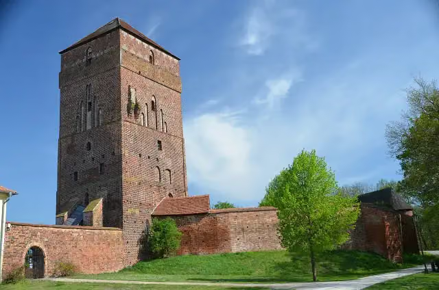
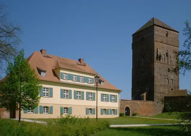
42.5 kmBischofsburg Wittstock
9.5 km · 2 benches
2 public toilets
52 km17.6 km · 3 benches
Bike pump
69.6 km14.2 km
Gutshaus Schloss Wolfshagen
83.8 kmMuseum
17.7 km · 3 benches
Roland
101.5 kmBike pump
262 m · 9 benches
Stadt- und Regionalmuseum Perleberg
101.8 kmMuseum
17.7 km
Freiherr-vom-Stein-Denkmal
119.5 kmMemorial
12.2 km · 2 benches
Observation tower
131.6 kmObservation tower
4.9 km
Rudower Seeblick
136.6 kmObservation tower
5.7 km · bench
Burg Lenzen
142.2 kmPublic toilet
16.3 km · 6 benches
Ehemaliger Grenzwachturm
158.6 kmObservation tower
16.8 km · 7 benches
Water point
175.4 km156 m
Public toilet
175.5 km883 m
Bike pump
176.4 km14.5 km · 12 benches
Schloßhotel Rühstädt
190.9 kmCastle
151 m
Public toilet
191.1 km241 m · 5 benches
Public toilet
191.3 km33.1 km · 8 benches
Observation tower
224.4 kmObservation tower
35.9 km · bench
Wegemuseum Wusterhausen
260.3 kmPublic toilet
24.9 km
Finish
285.2 km
Longest stretch without a toilet: 90.1 kmBetween 52.1 km and 142.2 km there is no public toilet within 100 m of the route.
The route with the pitstops and sights within 100 m of it.
17 sights along the way
In the order you pass them. With the Outdoor Pitstop app you hear their story on the spot. 9 more along the route are on the map.
i
Photo: A.Savin · Wikimedia Commons · FALView the photo on Wikimedia CommonsMemorial · after 494 m
i
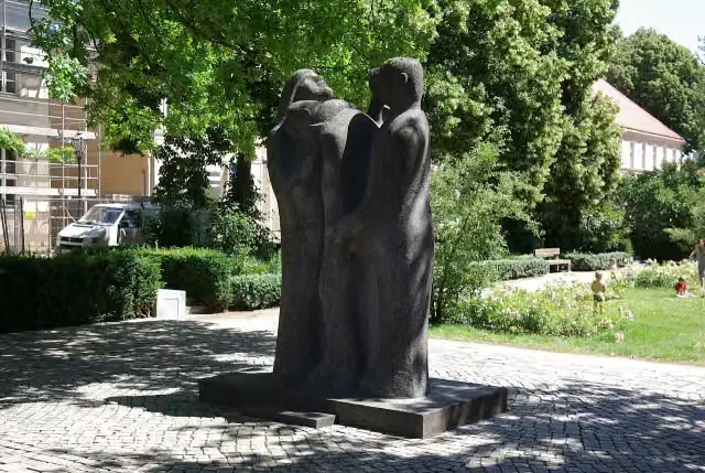
Photo: Clemensfranz · Wikimedia Commons · CC BY-SA 4.0View the photo on Wikimedia CommonsMemorial · after 549 m
i
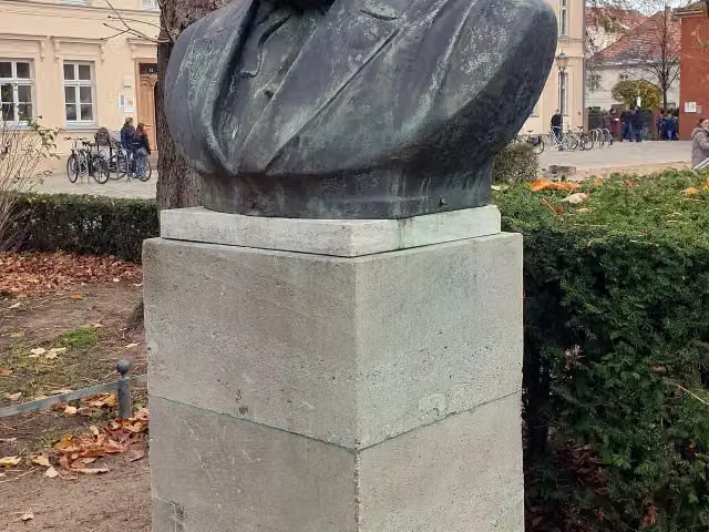
Photo: OTFW, Berlin · Wikimedia Commons · CC BY-SA 3.0View the photo on Wikimedia CommonsMemorial · after 550 m
i
Photo: Jörg M. Unger · Wikimedia Commons · CC BY-SA 3.0View the photo on Wikimedia CommonsMemorial · after 1 km
i
Photo: Thomas Tunsch · Wikimedia Commons · CC BY-SA 3.0View the photo on Wikimedia CommonsMuseum · after 42.5 km
i
Photo: Doris Antony, Berlin · Wikimedia Commons · CC BY-SA 3.0View the photo on Wikimedia CommonsAttraction · after 42.5 km
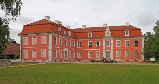
i
Photo: A.Savin · Wikimedia Commons · CC BY-SA 3.0View the photo on Wikimedia CommonsMuseum · after 83.8 km

Memorial · after 101.5 km
Elevation and terrain
- Up
- ↑ 359 m
- Down
- ↓ 362 m
- Highest point
- 98 m
- Lowest point
- 18 m
Nowhere steeper than 5%.
Elevation from Copernicus GLO-30 (European Union and ESA), smoothed.
produced using Copernicus WorldDEM-30 © DLR e.V. 2010-2014 and © Airbus Defence and Space GmbH 2014-2018 provided under COPERNICUS by the European Union and ESA; all rights reserved
Way types
285.2 km in total- Road: 88.9 km
- Track: 61.6 km
- Path: 60.3 km
- Street: 35.7 km
- Busy road: 29.2 km
- Cycle path: 6.8 km
- Footpath (walk your bike): 2.3 km
Surfaces
285.2 km in total- Asphalt: 152.4 km
- Paved: 58.9 km
- Gravel: 33.6 km
- Unpaved: 400 m
- Natural: 75 m
- Unknown: 39.5 km
About the cycle route Historische Stadtkerne Route 3
Updated on 14 November 2026, with data from OpenStreetMap, the AHN and Copernicus.
Where do you cycle?
Historische Stadtkerne Route 3 is a cycle route of 285.2 km that starts in Neuruppin. It does not end where it starts. Along the way you pass Friedrich Wilhelm II. (after 494 m), Opfer des Faschismus (after 549 m) and Karl Marx (after 550 m).
How hard is the route?
You climb 359 m in total and descend 362 m. Allow ± 19:00 h, without breaks. The level is hard.
What roads do you cycle on?
The longest part is road (88.9 km), track (61.6 km) and path (60.3 km). Of the surface, 152.4 km asphalt and 58.9 km paved. For 39.5 km the surface is not known.
Pitstops along the way
Within 100 metres of the route there are 76 benches, 2 water fountains and refill points, 7 public toilets and 3 bike pumps. You can fill your bottle after 494 m and after 175.4 km. The longest stretch without a toilet is 90.1 km. The Outdoor Pitstop app navigates you there.
Cycle routes nearby
4Sights nearby
Within 10 km of the route, best known first.
- 1
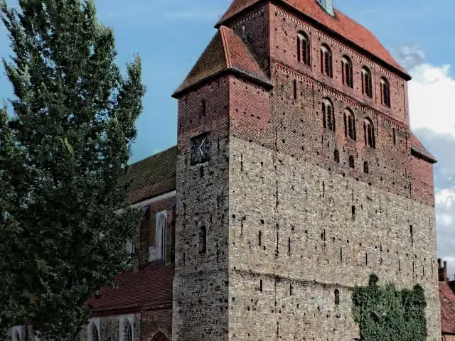 Havelberg CathedralAttraction · 644 m from the route
- 2
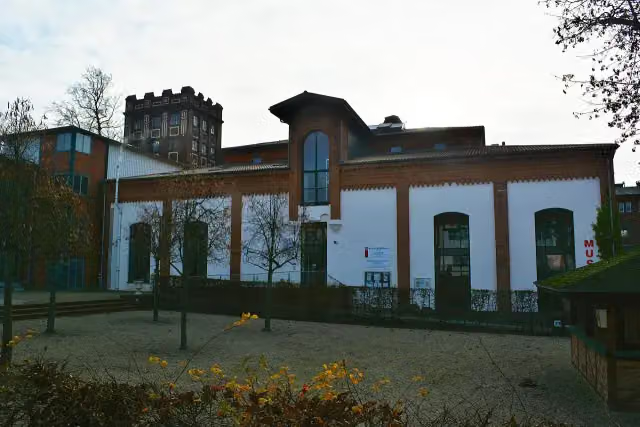 Museumsfabrik PritzwalkMuseum · 109 m from the route
- 3
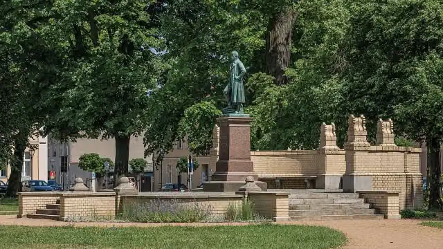 Karl-Friedrich SchinkelMemorial · 141 m from the route
- 4
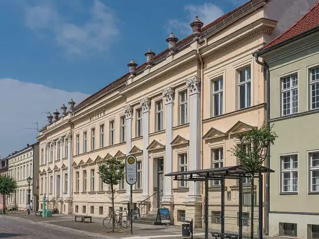 Museum NeuruppinMuseum · 161 m from the route
- 5
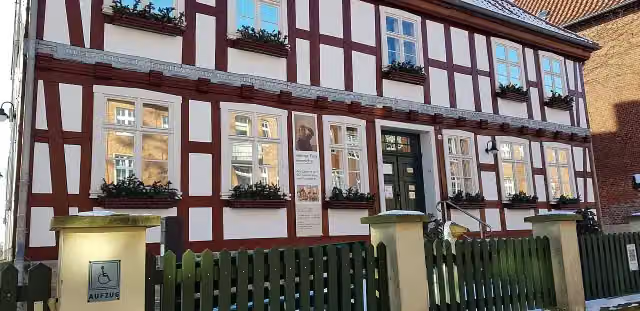 Stadtmuseum "Alte Burg"Museum · 229 m from the route
- 6
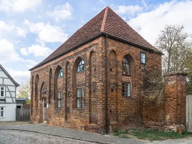 BeguinenhausAttraction · 234 m from the route
- 7
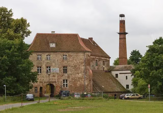 Burg GoldbeckCastle · 343 m from the route
- 8
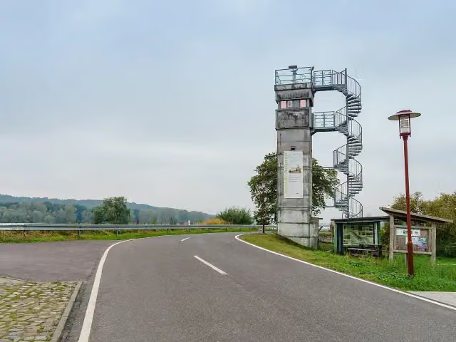 GrenzturmObservation tower · 397 m from the route
- 9
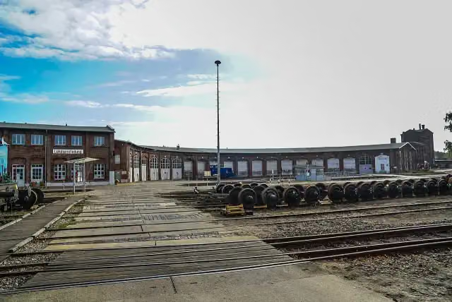 Historischer Lokschuppen WittenbergeMuseum · 424 m from the route
- 10
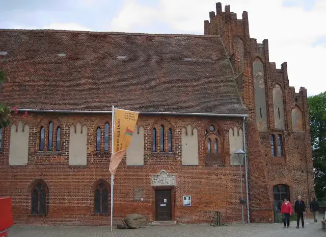 Prignitz-MuseumMuseum · 602 m from the route
- 11
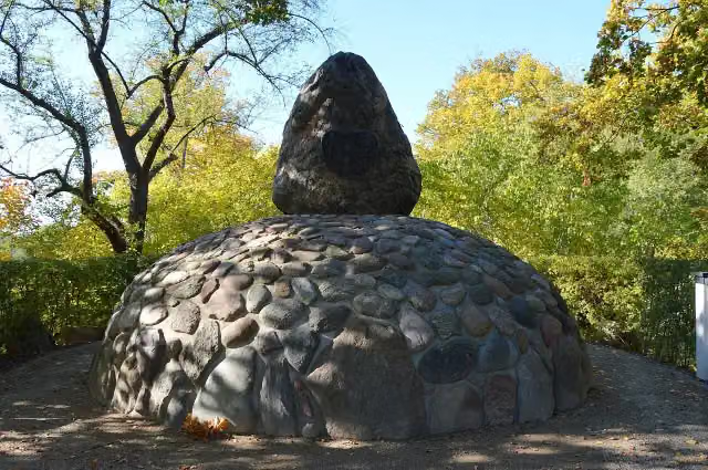 BurggrafensteinMemorial · 643 m from the route
- 12
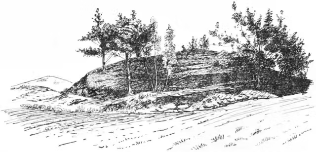 KönigsgrabArchaeological site · 686 m from the route
- 13
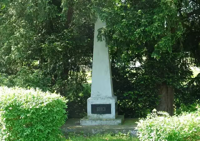 KriegerdenkmalMemorial · 913 m from the route
- 14
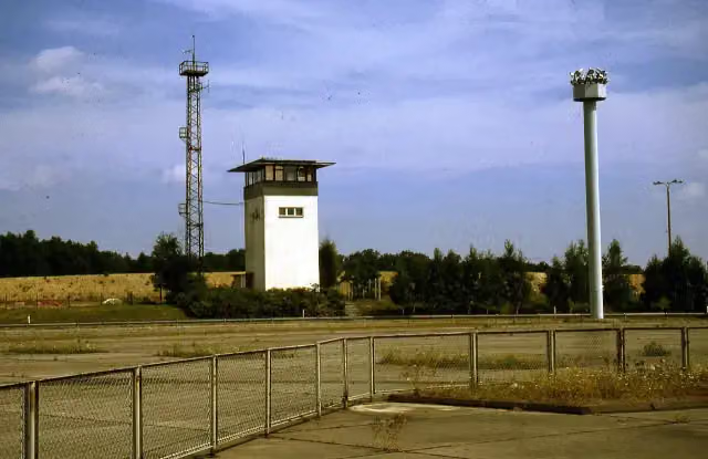 GrenzturmObservation tower · 978 m from the route
- 15
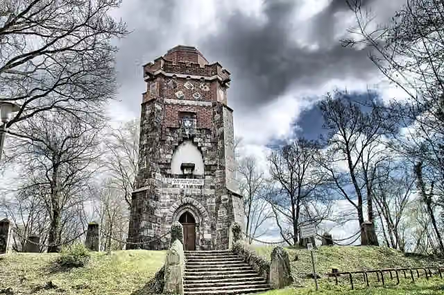 Bismarckturm PritzwalkObservation tower · 1.2 km from the route
- 16
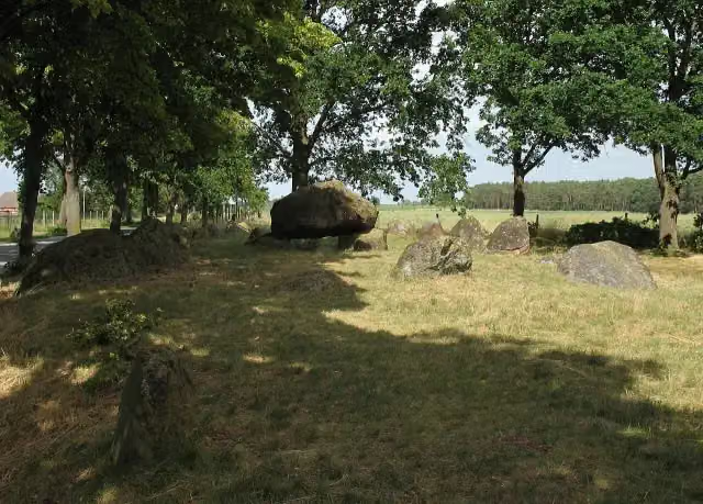 Großsteingrab MellenArchaeological site · 1.8 km from the route
- 17
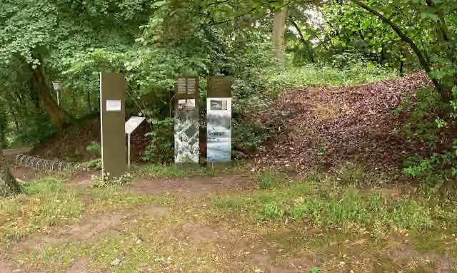 SchwedenschanzeArchaeological site · 1.8 km from the route
- 18
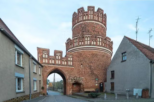 ElbtorMuseum · 2.1 km from the route
- 19
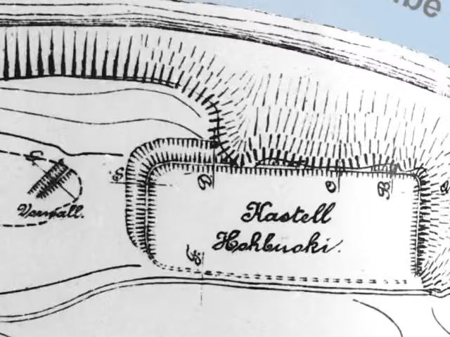 Vietzer SchanzeArchaeological site · 2.6 km from the route
- 20
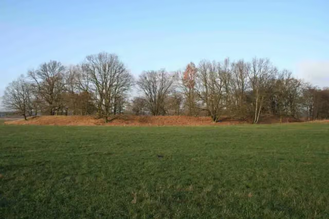 Burgwall NetzebandArchaeological site · 2.8 km from the route
- 21
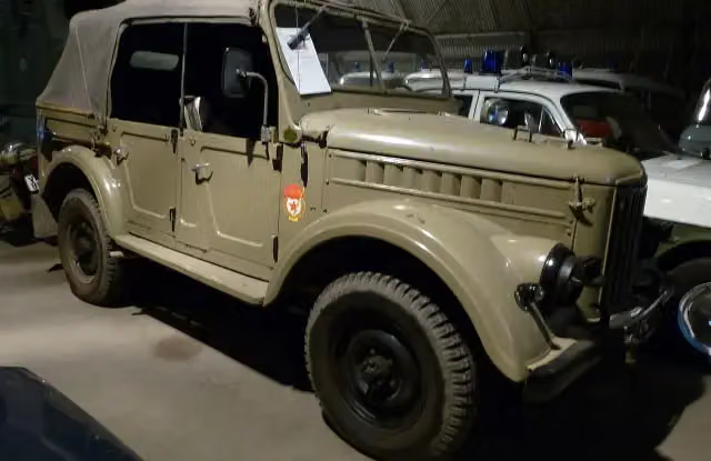 BlaulichtmuseumMuseum · 2.9 km from the route
- 22
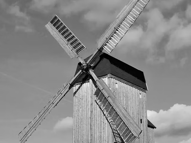 Bockwindmühle WanzerAttraction · 2.9 km from the route
- 23
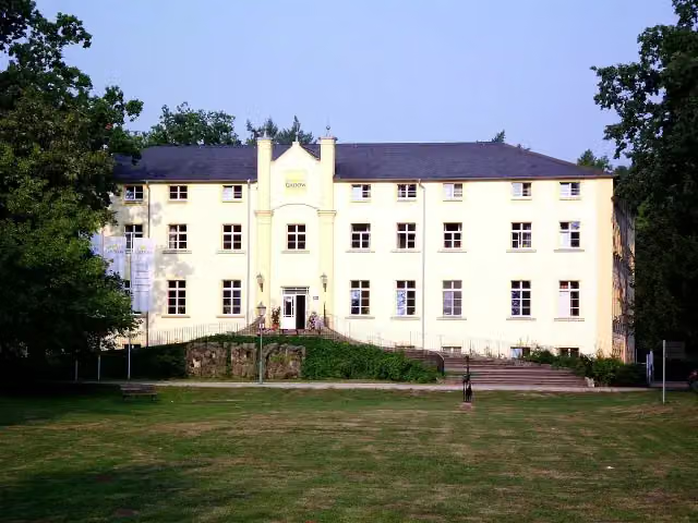 Schloss GadowCastle · 4 km from the route
- 24
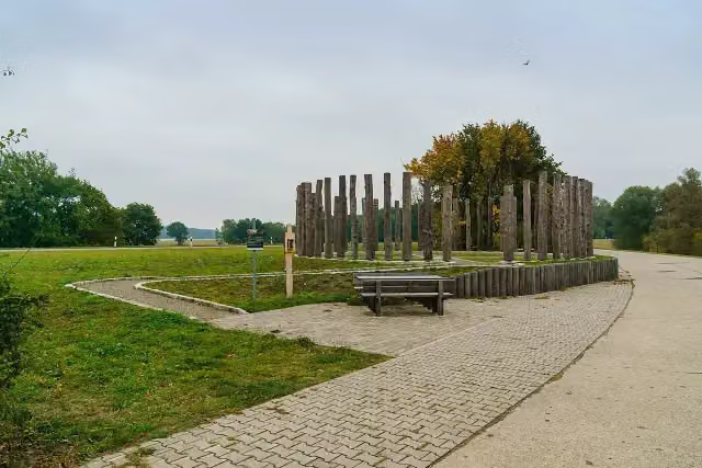 Woodhenge am HasenbergAttraction · 4.4 km from the route
- 25
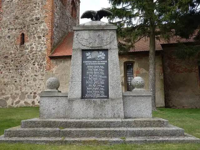 MemorialMemorial · 4.8 km from the route
Explore more
More cycle routes around Neuruppin
Frequently asked questions
How long is Historische Stadtkerne Route 3?
Historische Stadtkerne Route 3 is 285.2 km long. Allow ± 19:00 h of riding: 15 km an hour, without breaks.
Is this route a circular ride?
No, the route starts and ends at different spots.
Where does this route start?
The route starts in Neuruppin.
How hard is this route?
Hard, with 359 m of climbing.
Are there toilets along this route?
Yes, there are 7 public toilets within 100 m of the route. The longest stretch without a toilet is 90.1 km.
Can you fill up with water along this route?
Yes, there are 2 water fountains and refill points within 100 m of the route.
What is there to see along this route?
Along the way you pass Friedrich Wilhelm II., Opfer des Faschismus and Karl Marx.
Can I download this route as a GPX file?
Yes. Sign in with your Outdoor Pitstop account and choose Download GPX at the top of this page: 10 routes a month for free, unlimited with Pro.
Starting point
More routes from this place
Route data © OpenStreetMap contributors





