 Outdoor Pitstop
Cycle route · Hennigsdorf · Updated on 14 November 2026
Historische Stadtkerne Route 1 [Teil 1] cycle route
Historische Stadtkerne Route 1 [Teil 1] is a cycle route of 181.1 km from Hennigsdorf. Along the way you'll find 116 benches, 2 water fountains and refill points, 5 public toilets, 4 bike pumps and 1 honesty box.

i
i
i
The route step by step
From start to finish, with what you pass along the way and the distance in between.
- 181.1 km
- ± 12:05 h
- ↑ 303 m · ↓ 277 m
- Hard
- From A to B
- Regional route
- Colour of the signs
Start in Hennigsdorf
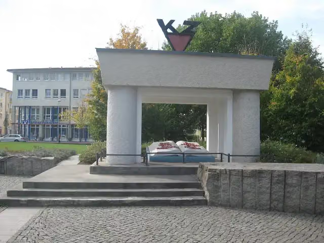
0 kmAt the start: Ehrenmal für die Opfer des Faschismus (OdF) and public toilet.
1.1 km · 15 benches
Bike pump
1.1 km483 m
Bike pump
1.6 km24.7 km · bench
Bike pump
26.3 km7.3 km · 15 benches

Nähmaschinenmuseum Sommerfeld
33.6 kmWater point
50.3 km · 23 benches
Public toilet
83.9 km11.9 km · 12 benches
NaturParkHaus Stechlin
95.8 kmMuseum
27.3 km · 9 benches
Schloss Meseberg
123.1 kmCastle
6.5 km · 11 benches
Honesty box
129.6 km5.8 km · 2 benches
Public toilet
135.4 km18.3 km · 7 benches
Ziegeleipark Mildenberg
153.6 kmPublic toilet and bike pump
7.9 km · 12 benches
Public toilet
161.5 km6 km · 3 benches
Observation tower
167.6 kmObservation tower
13.5 km · 6 benches
Finish
181.1 kmAt the finish: Berliner Tor and water point.
Longest stretch without a toilet: 83.8 kmBetween 79 m and 83.9 km there is no public toilet within 100 m of the route.
The route with the pitstops and sights within 100 m of it.
7 sights along the way
In the order you pass them. With the Outdoor Pitstop app you hear their story on the spot.
i
Photo: Jumbo1435 · Wikimedia Commons · CC BY-SA 3.0View the photo on Wikimedia CommonsMemorial · after 0 m
i
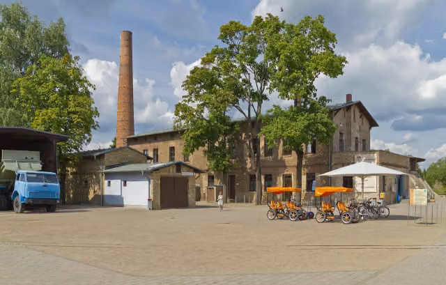
Photo: Shisma · Wikimedia Commons · CC BY-SA 3.0View the photo on Wikimedia CommonsMuseum · after 33.6 km

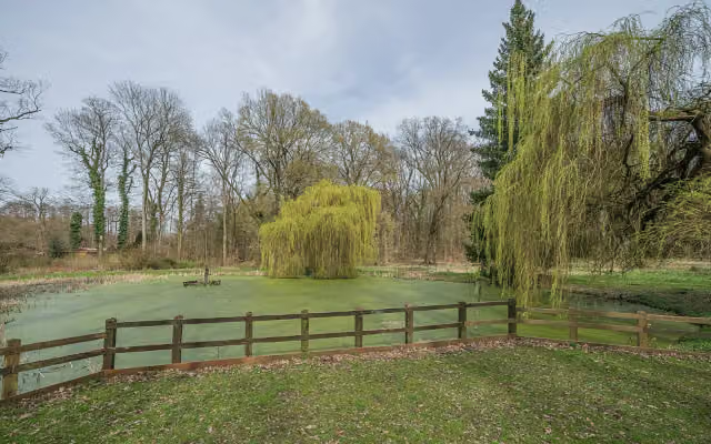
Museum · after 95.8 km
i
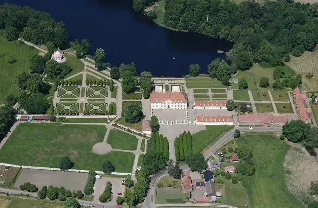
Photo: Carsten Steger · Wikimedia Commons · CC BY-SA 4.0View the photo on Wikimedia CommonsCastle · after 123.1 km
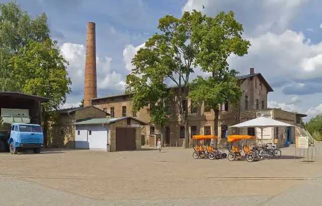
i
Photo: A.Savin · Wikimedia Commons · CC BY-SA 3.0View the photo on Wikimedia CommonsMuseum · after 153.7 km
Observation tower · after 167.6 km
Attraction · after 181 km
Elevation and terrain
- Up
- ↑ 303 m
- Down
- ↓ 277 m
- Highest point
- 94 m
- Lowest point
- 36 m
Nowhere steeper than 5%.
Elevation from Copernicus GLO-30 (European Union and ESA), smoothed.
produced using Copernicus WorldDEM-30 © DLR e.V. 2010-2014 and © Airbus Defence and Space GmbH 2014-2018 provided under COPERNICUS by the European Union and ESA; all rights reserved
Way types
181.1 km in total- Road: 64.3 km
- Path: 60.9 km
- Street: 30.6 km
- Busy road: 13.6 km
- Track: 4.8 km
- Footpath (walk your bike): 3.8 km
- Cycle path: 2.3 km
- Unknown: 475 m
Surfaces
181.1 km in total- Asphalt: 143.5 km
- Paved: 33 km
- Gravel: 2.3 km
- Unknown: 2 km
About the cycle route Historische Stadtkerne Route 1 [Teil 1]
Updated on 14 November 2026, with data from OpenStreetMap, the AHN and Copernicus.
Where do you cycle?
Historische Stadtkerne Route 1 [Teil 1] is a cycle route of 181.1 km that starts in Hennigsdorf. It does not end where it starts. You start in Hennigsdorf bei Berlin and finish in Templin. Along the way you pass Ehrenmal für die Opfer des Faschismus (OdF) (after 0 m), Nähmaschinenmuseum Sommerfeld (after 33.6 km) and NaturParkHaus Stechlin (after 95.8 km).
How hard is the route?
You climb 303 m in total and descend 277 m. Allow ± 12:05 h, without breaks. The level is hard.
What roads do you cycle on?
The longest part is road (64.3 km), path (60.9 km) and street (30.6 km). Of the surface, 143.5 km asphalt and 33 km paved. For 2 km the surface is not known.
Pitstops along the way
Within 100 metres of the route there are 116 benches, 2 water fountains and refill points, 5 public toilets, 4 bike pumps and 1 honesty box. You can fill your bottle after 33.6 km and at the finish. The longest stretch without a toilet is 83.8 km. The Outdoor Pitstop app navigates you there.
Part of Historische Stadtkerne Route 1
Website of the routeCycle routes nearby
6- Ruppiner Seen-Kultur-RadwegHard · Circular ride217.3 km
- Berliner MauerwegHard · Circular ride157.8 km
- Havel-RadwegHard · From A to B396.1 km
- [D11] Ostsee-Oberbayern 03 [Brandenburg Mitte]Hard · From A to B64.9 km
- Eurovelo 7 - Sun Route - part GermanyHard · From A to B737.9 km
- Radfernweg Berlin-Kopenhagen BrandenburgHard · From A to B135.4 km
Sights nearby
Within 10 km of the route, best known first.
- 1
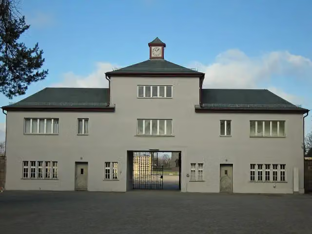 Memorial SachsenhausenMuseum · 9.4 km from the route
- 2
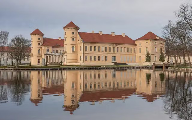 Schloss RheinsbergCastle · 124 m from the route
- 3
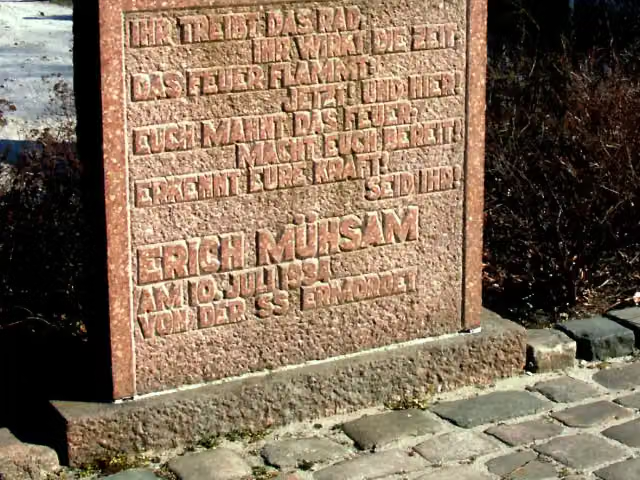 KZ OranienburgMemorial · 6.9 km from the route
- 4
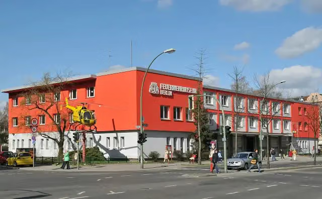 Fire Departnent Museum BerlinMuseum · 7.8 km from the route
- 5
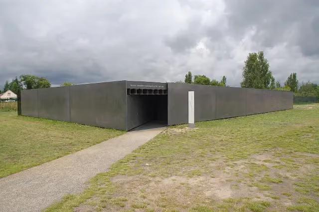 Museum "Sowjetisches Speziallager"Museum · 9.4 km from the route
- 6
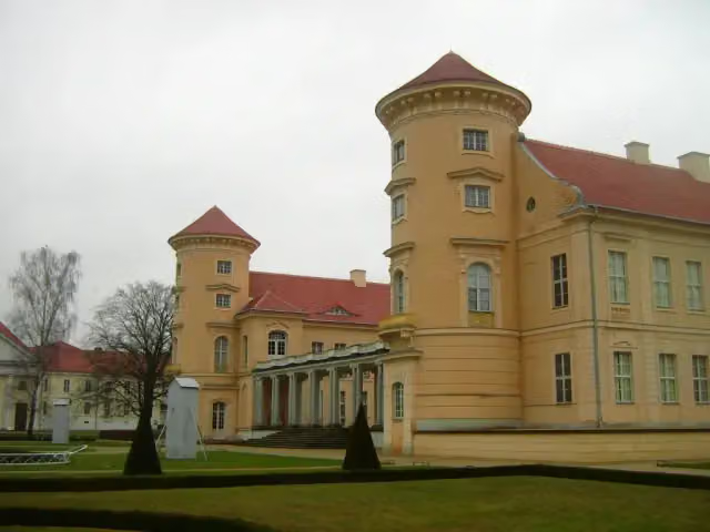 Kurt-Tucholsky-LiteraturmuseumMuseum · 120 m from the route
- 7
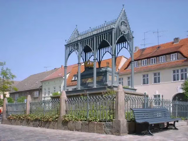 LuisendenkmalAttraction · 125 m from the route
- 8
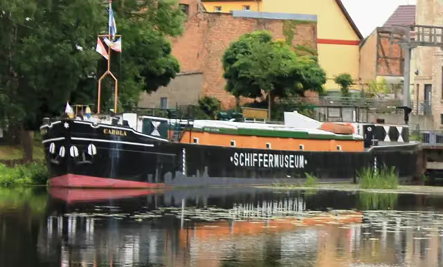 SchiffermuseumMuseum · 132 m from the route
- 9
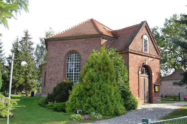 DorfkircheAttraction · 164 m from the route
- 10
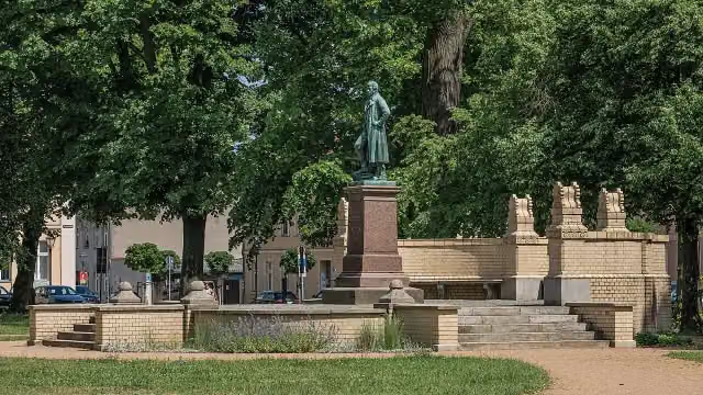 Karl-Friedrich SchinkelMemorial · 220 m from the route
- 11
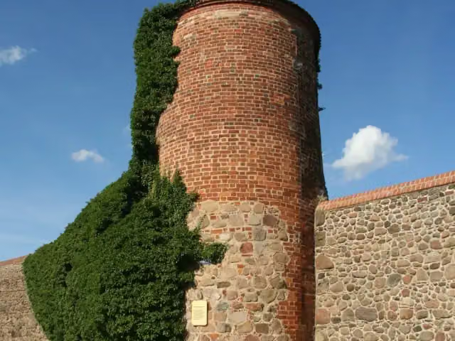 PulverturmAttraction · 379 m from the route
- 12
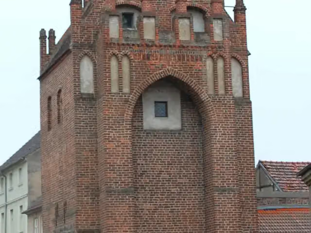 MühlentorAttraction · 413 m from the route
- 13
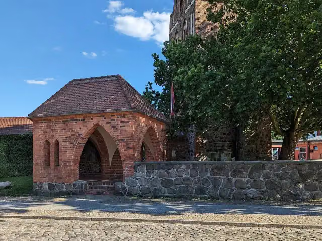 Museum für Stadtgeschichte TemplinMuseum · 417 m from the route
- 14
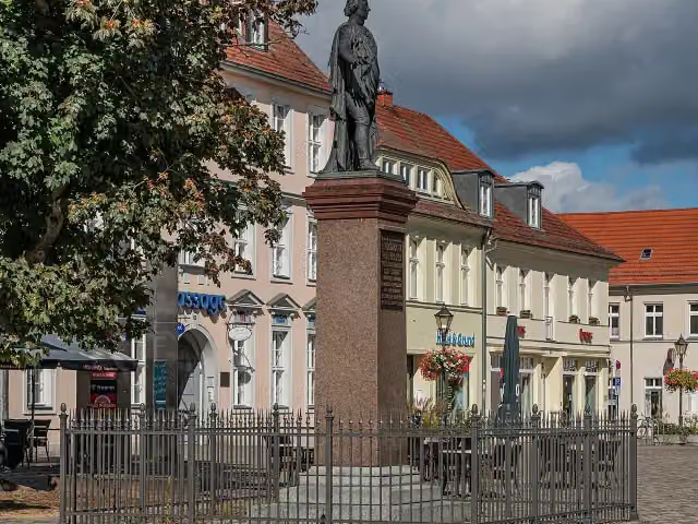 Friedrich Wilhelm II.Memorial · 493 m from the route
- 15
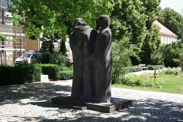 Opfer des FaschismusMemorial · 548 m from the route
- 16
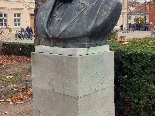 Karl MarxMemorial · 549 m from the route
- 17
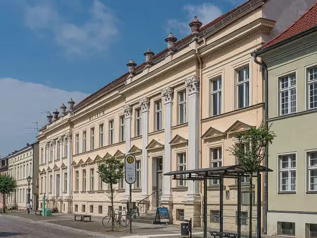 Museum NeuruppinMuseum · 594 m from the route
- 18
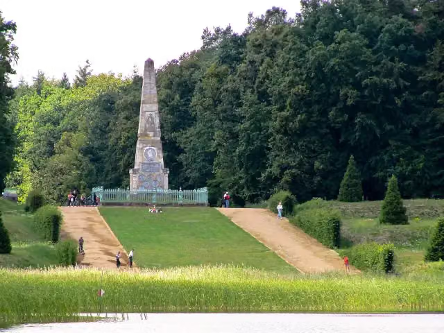 MemorialMemorial · 724 m from the route
- 19
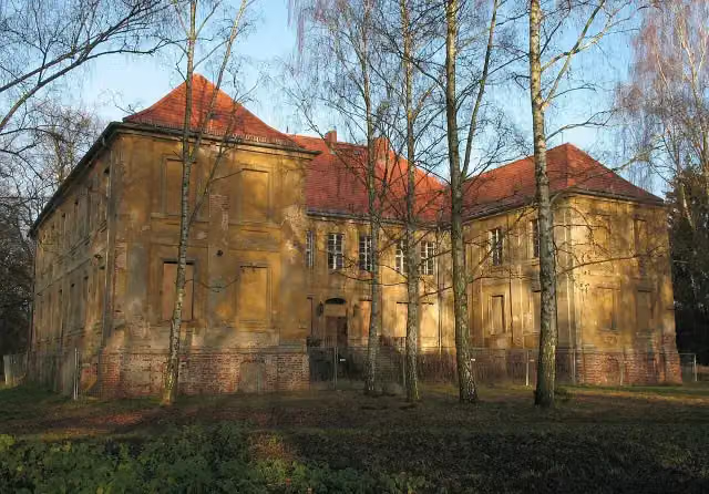 Schloss SchwanteMuseum · 804 m from the route
- 20
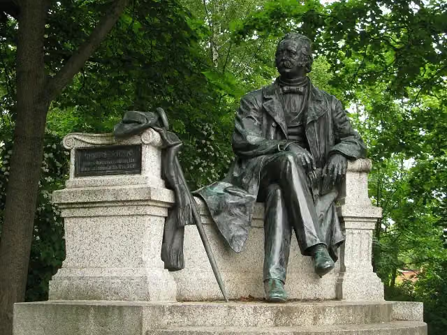 Theodor FontaneMemorial · 1 km from the route
- 21
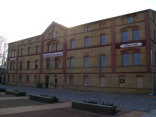 Ofen- und KeramikmuseumMuseum · 1.9 km from the route
- 22
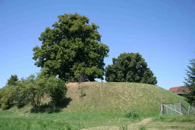 BotschebergViewpoint · 2.2 km from the route
- 23
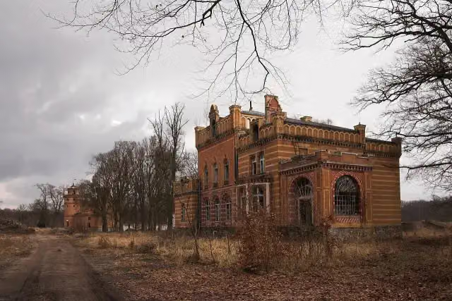 Herrenhaus Gut GentzrodeCastle · 2.2 km from the route
- 24
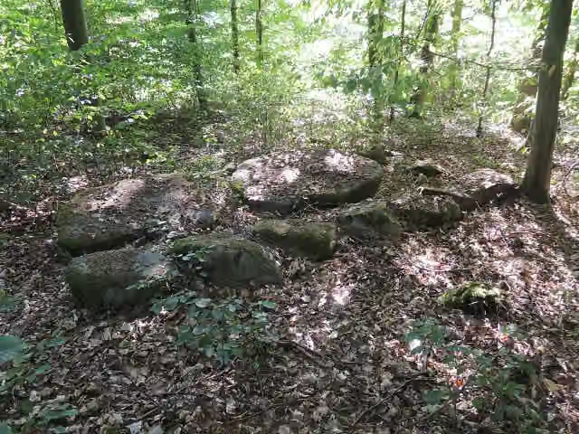 Großsteingrab Mehlsens RuhArchaeological site · 2.9 km from the route
- 25
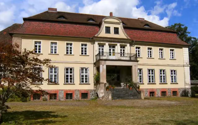 Schloss RauschendorfCastle · 3.9 km from the route
Explore more
More cycle routes around Hennigsdorf
Frequently asked questions
How long is Historische Stadtkerne Route 1 [Teil 1]?
Historische Stadtkerne Route 1 [Teil 1] is 181.1 km long. Allow ± 12:05 h of riding: 15 km an hour, without breaks.
Is this route a circular ride?
No, the route runs from Hennigsdorf bei Berlin to Templin.
Where does this route start?
The route starts in Hennigsdorf.
How hard is this route?
Hard, with 303 m of climbing.
Are there toilets along this route?
Yes, there are 5 public toilets within 100 m of the route. The longest stretch without a toilet is 83.8 km.
Can you fill up with water along this route?
Yes, there are 2 water fountains and refill points within 100 m of the route.
What is there to see along this route?
Along the way you pass Ehrenmal für die Opfer des Faschismus (OdF), Nähmaschinenmuseum Sommerfeld and NaturParkHaus Stechlin.
Can I download this route as a GPX file?
Yes. Sign in with your Outdoor Pitstop account and choose Download GPX at the top of this page: 10 routes a month for free, unlimited with Pro.
Starting point
More routes from this place
Route data © OpenStreetMap contributors





