 Outdoor Pitstop
Cycle route · Edam-Volendam · Updated on 5 November 2026
LF Waterlinieroute cycle route
LF Waterlinieroute is a cycle route of 407 km from Edam-Volendam. Along the way: 692 benches and picnic tables, 30 water fountains and refill points, 16 public toilets, 1 bike pump and 1 food stand.
i
i
The route step by step
From start to finish, with what you pass along the way and the distance in between.
- 407 km
- ± 3:25 h per stage
- ↑ 128 m · ↓ 122 m
- Moderate per stage
- From A to B
- National route
- Colour of the signs
Start in Edam-Volendam
0 km770 m

Memorial
623 m · 3 benches
Public toilet
1.4 km7.2 km · 13 benches
Public toilet, water point and bike pump
8.6 km19.6 km · 12 benches
Public toilet
28.2 km2.8 km · 4 benches
Water point
31 km9.1 km · 6 benches
Public toilet and 2 water fountains and refill points
40 km4 km · 3 benches
crash site American B17
44 kmMemorial
5.9 km · bench
Fort Zuidwijkermeer
49.9 kmFort
15.3 km · 21 benches
Fort bij de Liebrug
65.2 kmFort
1.3 km
Public toilet
66.5 km7.1 km · 21 benches
Public toilet
73.6 km175 m · 2 benches
Batterij aan de IJweg
73.8 kmFort
2.5 km · 12 benches
Fort bij Hoofddorp
76.2 kmFort
1.5 km · 3 benches
Public toilet and water point
77.8 km898 m · 9 benches
Battery on Sloterweg
78.7 kmFort
12 km · 28 benches
Water point
90.7 km3.7 km · 6 benches
Water point
94.4 km4.5 km · 6 benches
Water point
98.9 km12.3 km · 16 benches
Water point
111.2 km1.9 km · 2 benches
Batterijen aan het Gein
113.1 kmFort
7.2 km · 19 benches
Fort Hinderdam
120.3 kmFort · Audio story · 2 min
7.4 km · 15 benches
Torenfort aan de Ossenmarkt
127.7 kmWater point
3.2 km · 22 benches
Public toilet
130.9 km825 m · 10 benches
Mouse Fort
131.7 kmWater point
2 km · 2 benches
Water point
133.7 km2.6 km · 14 benches
Public toilet and water point
136.3 km15 km · 47 benches
Boekesteyn
151.4 kmCastle
15 km · 22 benches
Water point
166.4 km1.1 km · 11 benches
Public toilet
167.4 km
Show the other 37 steps
3.9 km · 18 benches
Public toilet
171.3 km2.9 km · 9 benches
Fort bij Tienhoven
174.2 kmFort
4.5 km · 6 benches
Werk bij Maarsseveen
178.7 kmFort
2.9 km · 6 benches
Water point
181.6 km561 m · 5 benches
Food stand
182.2 km1.6 km · 8 benches
Fort aan de Klop
183.8 kmFort · Audio story · 2 min
1.9 km · 30 benches
Fort De Gagel
185.6 kmFort · Audio story · 2 min
3.8 km · 7 benches
Water point
189.5 km1 km · bench
Water point
190.5 km2 km · 13 benches
Fort Blauwkapel
192.5 kmFort
4.1 km · 11 benches
Water point
196.6 km5.8 km · 10 benches
Kasteel Rhijnauwen
202.3 kmAttraction · Audio story · 2 min
3 km · 4 benches
Public toilet
205.3 km10.2 km · 3 benches
Water point
215.6 km1.9 km · 2 benches
Werk aan de Waalse Wetering
217.4 kmFort
1.9 km · 3 benches
Werk aan de Korte Uitweg
219.4 kmFort
9.5 km · 18 benches
Werk aan het Spoel
228.9 kmFort
21.6 km · 16 benches
Hofje van Aerden
250.5 km2 water fountains and refill points
16.3 km · 32 benches
Water point
266.8 km12.8 km · 33 benches
Werk aan de Bakkerskil
279.6 kmFort
10.2 km · 3 benches
Public toilet
289.8 km9.5 km · 5 benches
Water point
299.3 km1.1 km · 5 benches
Water point
300.4 km13 km · 5 benches
Water point
313.4 km20.8 km · 27 benches
Water point
334.2 km6.8 km · 10 benches
Castle
5.5 km · bench
Public toilet
346.5 km3.8 km · 6 benches
Vestingwerken van Willemstad
350.3 kmCastle
202 m
Oude Raadhuis
350.5 kmAttraction
376 m · 13 benches
Public toilet
350.9 km14.2 km · 12 benches
2 water fountains and refill points
365.1 km10 km · 17 benches
Observation tower
375.1 kmObservation tower
7.2 km · 8 benches
Water point
382.3 km12.2 km · 5 benches
Water point
394.4 km5.8 km · bench
Uitzichttoren Pompejus
400.3 kmObservation tower
5.9 km · 9 benches
Markiezenhof
406.1 kmMuseum
877 m
Finish
407 kmAt the finish: public toilet.
Longest stretch without a toilet: 84.4 kmBetween 205.3 km and 289.8 km there is no public toilet within 100 m of the route.
The route with the water points, toilets and sights within 100 m of it.
29 sights along the way
In the order you pass them. With the Outdoor Pitstop app you hear their story on the spot. 21 more along the route are on the map.
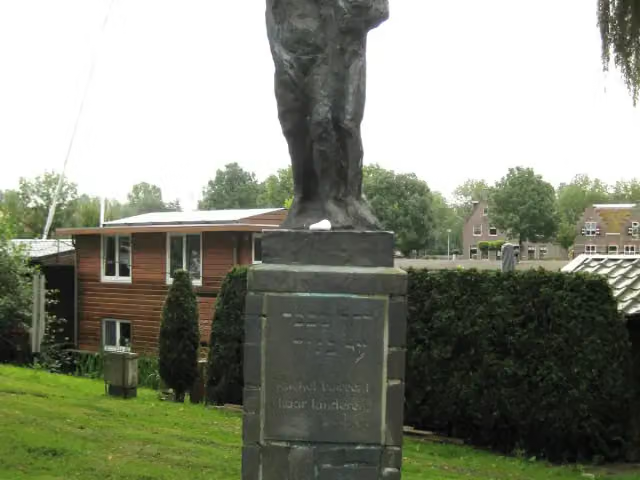
De tochtgenoten - 'Rachel beweent haar kinderen'
Memorial · after 770 m

Memorial · after 44 km
Fort · after 49.9 km
- Story
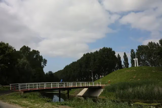
Fort bij de Liebrug
Fort · after 65.2 km
i
Photo: Defence Line Amsterdam from Different city's, Netherlands · Wikimedia Commons · CC BY 2.0View the photo on Wikimedia CommonsFort · after 73.8 km
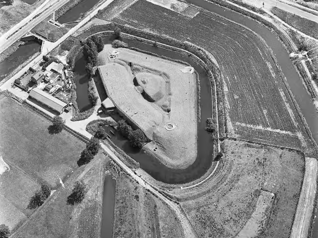 Story
i
Photo: Capital Press Schiphol (Fotograaf) · Wikimedia Commons · CC BY-SA 4.0View the photo on Wikimedia CommonsFort bij Hoofddorp
Fort · after 76.2 km
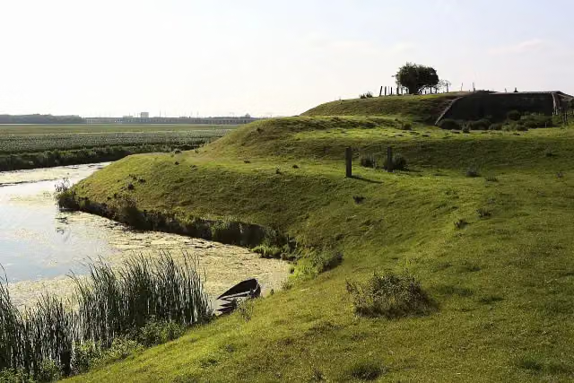
i
Photo: Defence Line Amsterdam from Different city's, Netherlands · Wikimedia Commons · CC BY 2.0View the photo on Wikimedia CommonsFort · after 78.7 km
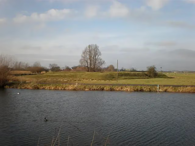 Story
Batterijen aan het Gein
Fort · after 113.1 km
Stages (8)
Elevation and terrain
- Up
- ↑ 128 m
- Down
- ↓ 122 m
- Highest point
- 12 m
- Lowest point
- -5 m
Nowhere steeper than 5%.
Elevation from AHN (Rijkswaterstaat), smoothed.
Way types
407 km in total- Road: 259.6 km
- Cycle path: 114.6 km
- Street: 24.6 km
- Busy road: 1.5 km
- Footpath (walk your bike): 1.2 km
- Track: 1 km
- Path: 175 m
- Unknown: 3.2 km
Surfaces
407 km in total- Asphalt: 226.2 km
- Paved: 29.2 km
- Gravel: 7.4 km
- Unpaved: 375 m
- Unknown: 142.7 km
About the cycle route LF Waterlinieroute
Updated on 5 November 2026, with data from OpenStreetMap and the AHN.
Where do you cycle?
LF Waterlinieroute is a cycle route of 407 km that starts in Edam-Volendam. It does not end where it starts. You start in Edam and finish in Bergen op Zoom. Along the way you pass De tochtgenoten - 'Rachel beweent haar kinderen' (after 770 m), crash site American B17 (after 44 km) and Fort Zuidwijkermeer (after 49.9 km).
How hard is the route?
You climb 128 m in total and descend 122 m. Allow ± 3:25 h per stage, without breaks. The level is moderate per stage.
What roads do you cycle on?
The longest part is road (259.6 km), cycle path (114.6 km) and street (24.6 km). Of the surface, 226.2 km asphalt and 29.2 km paved. For 142.7 km the surface is not known.
Pitstops along the way
Within 100 metres of the route there are 692 benches and picnic tables, 30 water fountains and refill points, 16 public toilets, 1 bike pump and 1 food stand. The longest stretch without a toilet is 84.4 km. The Outdoor Pitstop app navigates you there.
The LF Waterlinieroute is a long-distance cycle route of just over 400 km from Edam to Bergen op Zoom, along three old defence lines: the Defence Line of Amsterdam, the New Dutch Waterline and the West Brabant Waterline. You ride through North Holland, Utrecht, Gelderland, South Holland and North Brabant, past forts, batteries, dykes, inundation canals and fortified towns such as Naarden, Woudrichem and Willemstad. It is signposted in both directions and divided into eight stages. Along the way we know of 16 toilets, 30 water taps and one bike pump.
Source: Wikipedia (CC BY-SA)
Cycle routes nearby
2Sights nearby
Within 10 km of the route, best known first.
- 1
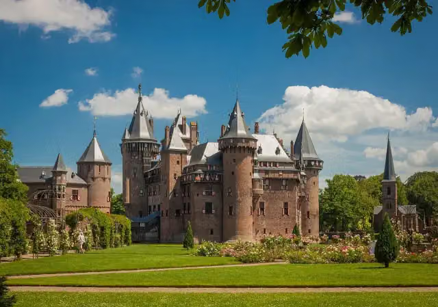 Kasteel de HaarAttraction · 5.4 km from the route
- 2
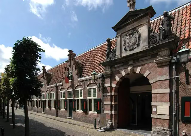 Frans Hals MuseumMuseum · 2.4 km from the route
- 3
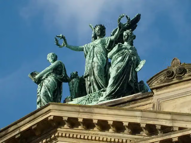 Teylers MuseumMuseum · 2.2 km from the route
- 4
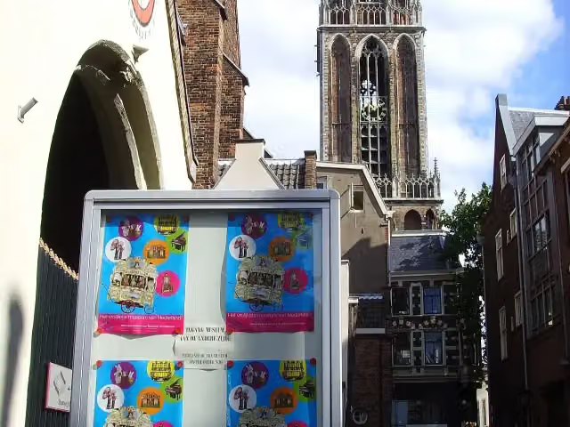 Museum SpeelklokMuseum · 2.9 km from the route
- 5
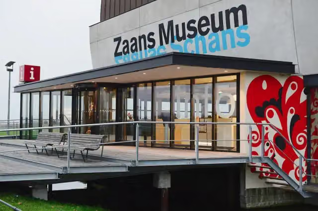 Zaans MuseumMuseum · 4.1 km from the route
- 6
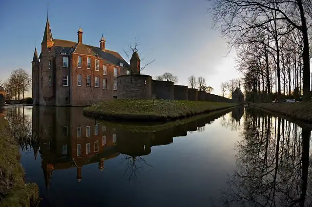 Slot ZuylenCastle · 104 m from the route
- 7
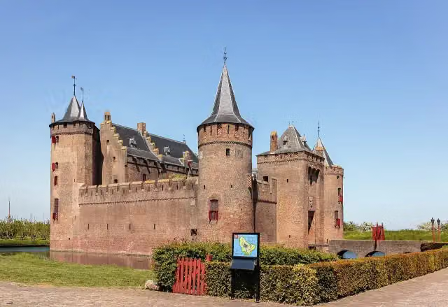 MuiderslotMuseum · 467 m from the route
- 8
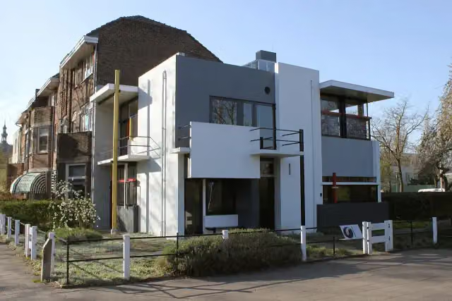 Rietveld-SchröderhuisMuseum · 2.5 km from the route
- 9
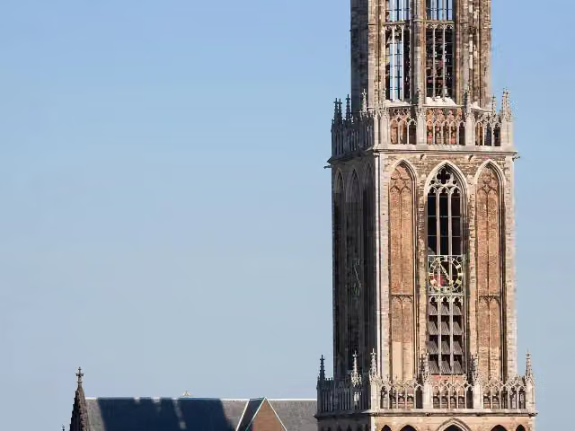 Dom towerAttraction · 2.8 km from the route
- 10
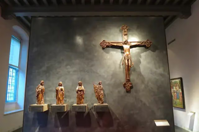 Museum CatharijneconventMuseum · 3.1 km from the route
- 11
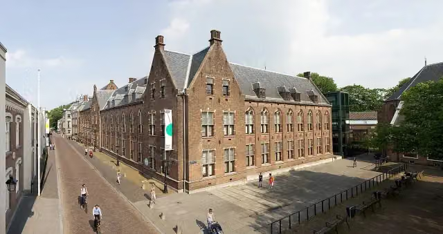 Centraal MuseumMuseum · 3.5 km from the route
- 12
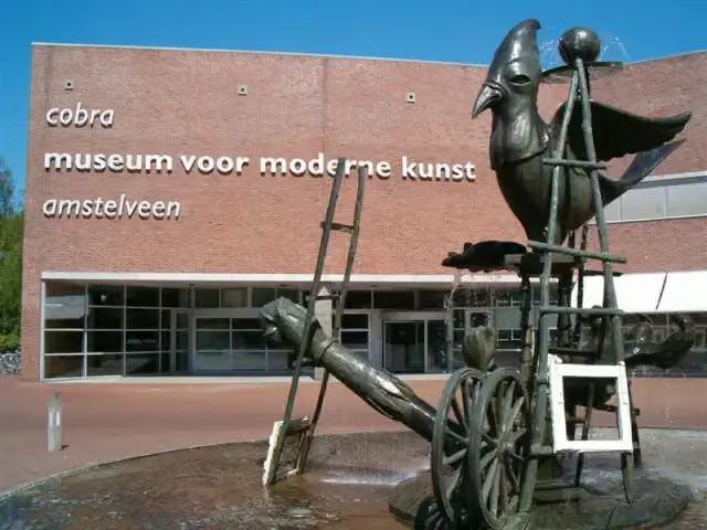 Cobra MuseumMuseum · 5.9 km from the route
- 13
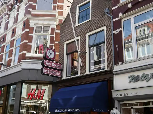 Corrie ten Boom MuseumMuseum · 2.6 km from the route
- 14
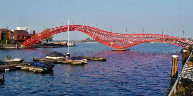 Python BridgeAttraction · 9.2 km from the route
- 15
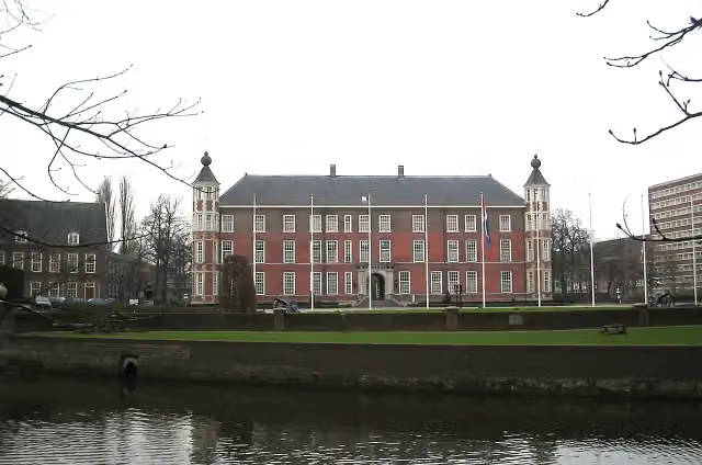 Kasteel van BredaCastle · 3.4 km from the route
- 16
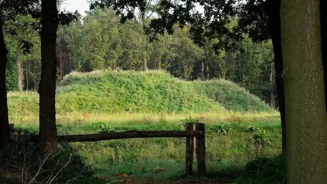 Fort De RoovereFort · 169 m from the route
- 17
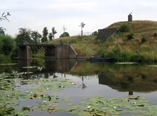 Fort RonduitFort · 525 m from the route
- 18
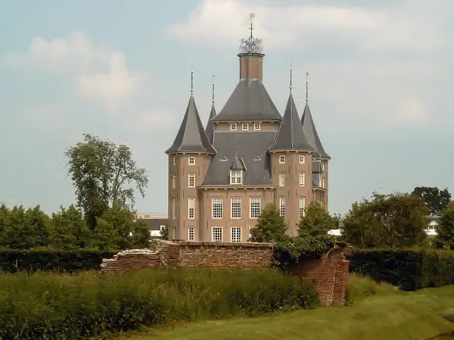 Kasteel HeemstedeCastle · 596 m from the route
- 19
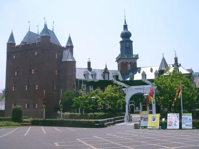 Kasteel NijenrodeCastle · 1 km from the route
- 20
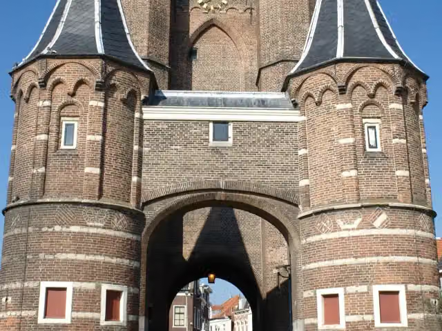 Amsterdamse PoortAttraction · 1.9 km from the route
- 21
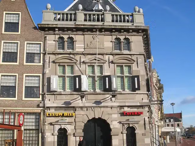 De WaagAttraction · 2.3 km from the route
- 22
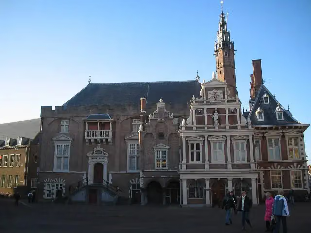 Stadhuis HaarlemAttraction · 2.6 km from the route
- 23
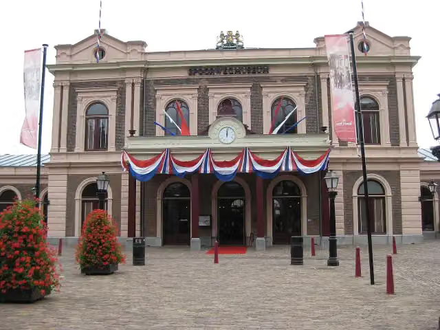 SpoorwegmuseumMuseum · 3 km from the route
- 24
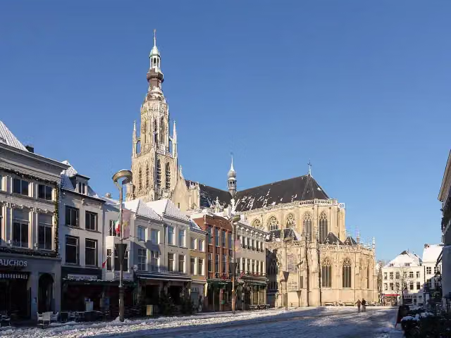 Grote KerkAttraction · 3.7 km from the route
- 25
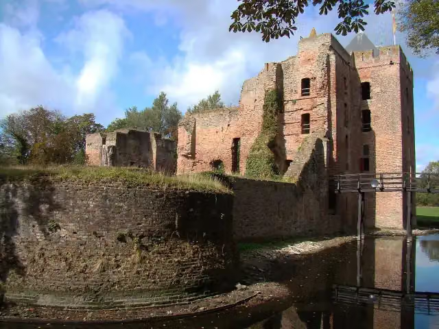 Ruïne van BrederodeAttraction · 3.7 km from the route
Explore more
More cycle routes around Edam-Volendam
Frequently asked questions
How long is LF Waterlinieroute?
LF Waterlinieroute is 407 km long, in 8 stages of 50.9 km on average. Allow ± 3:25 h per stage of riding: 15 km an hour, without breaks.
Is this route a circular ride?
No, the route runs from Edam to Bergen op Zoom.
Where does this route start?
The route starts in Edam-Volendam.
How hard is this route?
Moderate per stage, with 16 m per stage of climbing.
Are there toilets along this route?
Yes, there are 16 public toilets within 100 m of the route. The longest stretch without a toilet is 84.4 km.
Can you fill up with water along this route?
Yes, there are 30 water fountains and refill points within 100 m of the route.
What is there to see along this route?
Along the way you pass De tochtgenoten - 'Rachel beweent haar kinderen', crash site American B17 and Fort Zuidwijkermeer.
Start place
More routes from this place
Route data © OpenStreetMap contributors





