 Outdoor Pitstop
Cycle route · Steenbergen · Updated on 6 November 2026
LF Waterlinieroute - 08 - Dinteloord - Bergen op Zoom cycle route
LF Waterlinieroute - 08 - Dinteloord - Bergen op Zoom is a cycle route of 41.9 km from Steenbergen. Along the way you'll find 38 benches and picnic tables, 3 water fountains and refill points and 1 public toilet.
i
i
i
The route step by step
From start to finish, with what you pass along the way and the distance in between.
- 41.9 km
- ± 2:50 h
- ↑ 19 m · ↓ 15 m
- Moderate
- From A to B
- National route
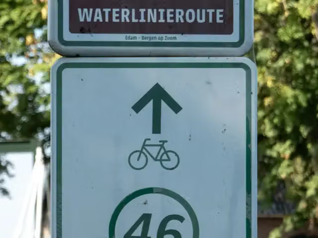
- Colour of the signs
Start in Steenbergen
0 kmAt the start: water point.
10 km · 9 benches

Observation tower
10 kmObservation tower
7.2 km · 8 benches
Water point
17.2 km12.2 km · 5 benches
Water point
29.4 km5.8 km · bench
Uitzichttoren Pompejus
35.2 kmObservation tower
5.9 km · 9 benches
Markiezenhof
41 kmMuseum
877 m
Finish
41.9 kmAt the finish: public toilet.
Longest stretch without a toilet: 41.9 kmBetween 0 km and 41.9 km there is no public toilet within 100 m of the route.
The route with the pitstops and sights within 100 m of it.
3 sights along the way
In the order you pass them. With the Outdoor Pitstop app you hear their story on the spot.

Observation tower · after 10 km
Observation tower · after 35.2 km
Markiezenhof
Museum · after 41 km
Elevation and terrain
- Up
- ↑ 19 m
- Down
- ↓ 15 m
- Highest point
- 13 m
- Lowest point
- -0 m
Nowhere steeper than 5%.
Elevation from AHN (Rijkswaterstaat), smoothed.
Way types
41.9 km in total- Road: 30.7 km
- Cycle path: 6.1 km
- Street: 4.4 km
- Footpath (walk your bike): 450 m
- Busy road: 175 m
Surfaces
41.9 km in total- Asphalt: 10.4 km
- Paved: 3.9 km
- Gravel: 825 m
- Unknown: 26.7 km
About the cycle route LF Waterlinieroute - 08 - Dinteloord - Bergen op Zoom
Updated on 6 November 2026, with data from OpenStreetMap and the AHN.
Where do you cycle?
LF Waterlinieroute - 08 - Dinteloord - Bergen op Zoom is a cycle route of 41.9 km that starts in Steenbergen. It does not end where it starts. You start in Dinteloord and finish in Bergen op Zoom. Along the way you pass Observation tower (after 10 km), Uitzichttoren Pompejus (after 35.2 km) and Markiezenhof (after 41 km).
How hard is the route?
The route is almost flat. You climb 19 m in total and descend 15 m. Allow ± 2:50 h, without breaks. The level is moderate.
What roads do you cycle on?
The longest part is road (30.7 km), cycle path (6.1 km) and street (4.4 km). Of the surface, 10.4 km asphalt and 3.9 km paved. For 26.7 km the surface is not known.
Pitstops along the way
Within 100 metres of the route there are 38 benches and picnic tables, 3 water fountains and refill points and 1 public toilet. You can fill your bottle at the start, after 17.2 km and after 29.4 km. The longest stretch without a toilet is 41.9 km. The Outdoor Pitstop app navigates you there.
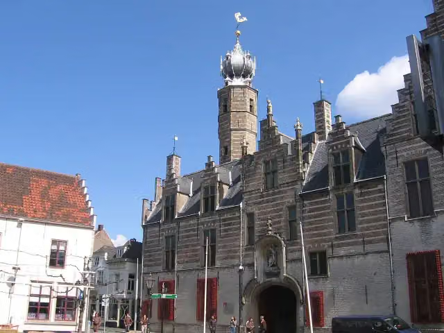
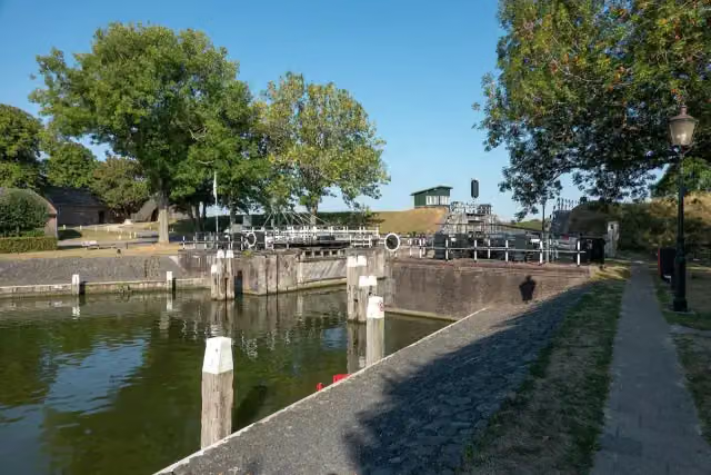
This stage of the LF Waterlinieroute is a cycle route of about 42 km from Dinteloord to Bergen op Zoom, the last stage, along the West Brabant Waterline. You ride through De Heen, Steenbergen, Welberg and Moerstraten to Bergen op Zoom, where you pass the Markiezenhof and the Oscar van Hemelpark. There are two lookout towers on the way, one of them the Pompejus tower. It is flat and mostly on ordinary roads. We know of one toilet and three water taps, but no bike pump. The full route starts in Edam.
Source: Wikipedia (CC BY-SA)
Part of LF Waterlinieroute
Website of the routeCycle routes nearby
1Sights nearby
Within 10 km of the route, best known first.
- 1
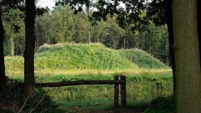 Fort De RoovereFort · 169 m from the route
- 2
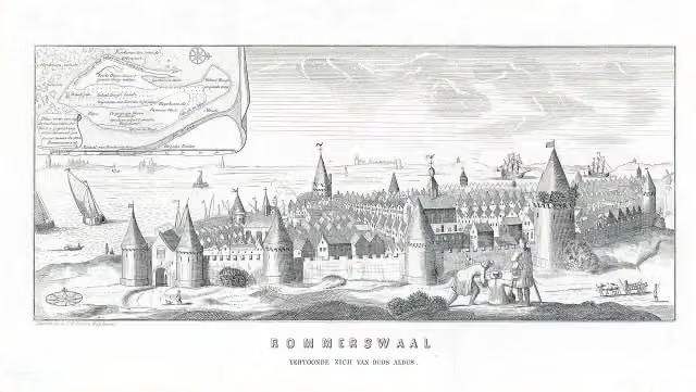 ReimerswaalArchaeological site · 9.3 km from the route
- 3
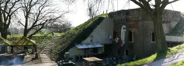 Fort De HelFort · 5.9 km from the route
- 4
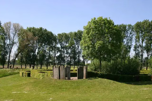 Kasteel van WouwAttraction · 2.7 km from the route
- 5
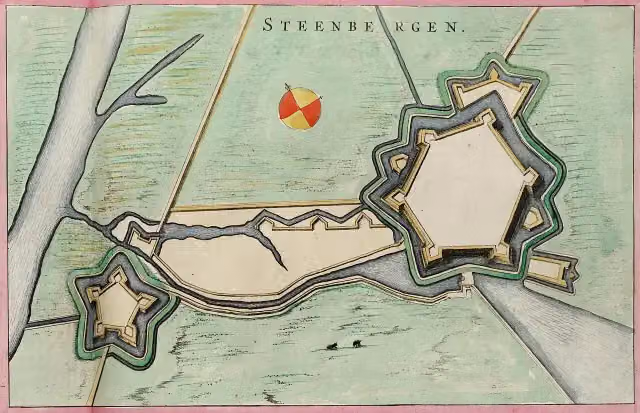 Fort HenricusFort · 178 m from the route
- 6
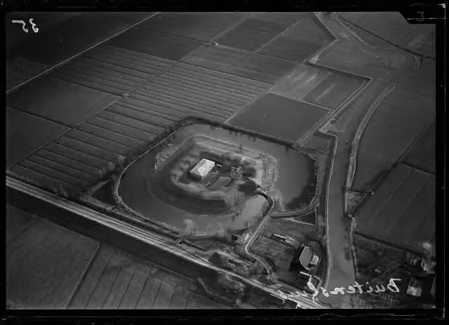 Fort BovensluisFort · 8.8 km from the route
- 7
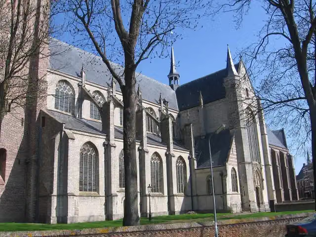 Grote- of Onze Lieve VrouwekerkAttraction · 4.9 km from the route
- 8
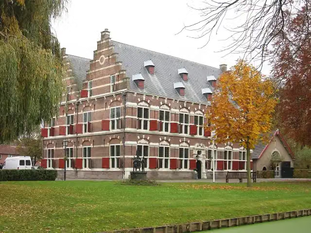 MauritshuisMuseum · 7.5 km from the route
- 9
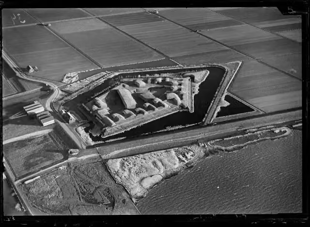 Fort Sabina HenricaAttraction · 4.5 km from the route
- 10
 De Holle RoffelMuseum · 3.5 km from the route
- 11
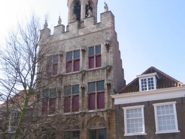 Stadhuis van TholenAttraction · 4.8 km from the route
- 12
 Vestingwerken van WillemstadCastle · 7.6 km from the route
- 13
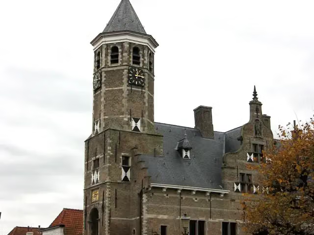 Oude RaadhuisAttraction · 7.8 km from the route
- 14
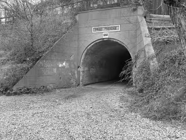 Fort Prins FrederikFort · 4.5 km from the route
- 15
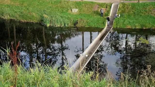 Moses BridgeAttraction · 106 m from the route
- 16Uitkijktoren KraaijenbergObservation tower · 2.8 km from the route
- 17KraaijenbergMuseum · 2.8 km from the route
- 18Observation towerObservation tower · 3.2 km from the route
- 19Vesting TholenCastle · 4.9 km from the route
- 20Uitkijktoren KrammersluizenObservation tower · 7.4 km from the route
- 21WilhelmietenmuseumMuseum · 9.1 km from the route
- 22Fort BuitensluisAttraction · 9.8 km from the route
Explore more
More cycle routes around Steenbergen
More nearby
Frequently asked questions
How long is LF Waterlinieroute - 08 - Dinteloord - Bergen op Zoom?
LF Waterlinieroute - 08 - Dinteloord - Bergen op Zoom is 41.9 km long. Allow ± 2:50 h of riding: 15 km an hour, without breaks.
Is this route a circular ride?
No, the route runs from Dinteloord to Bergen op Zoom.
Where does this route start?
The route starts in Steenbergen.
How hard is this route?
Moderate, with 19 m of climbing.
Are there toilets along this route?
Yes, there are 1 public toilet within 100 m of the route. The longest stretch without a toilet is 41.9 km.
Can you fill up with water along this route?
Yes, there are 3 water fountains and refill points within 100 m of the route.
What is there to see along this route?
Along the way you pass Observation tower, Uitzichttoren Pompejus and Markiezenhof.
Starting point
More routes from this place
Route data © OpenStreetMap contributors





