 Outdoor Pitstop
Cycle route · Utrecht · Updated on 6 November 2026
Midden-Nederlandroute - 04 - Utrecht - Amerongen cycle route
Midden-Nederlandroute - 04 - Utrecht - Amerongen is a cycle route of 39.5 km from Utrecht. Along the way you'll find 195 benches and picnic tables, 5 water fountains and refill points and 9 public toilets.
i
The route step by step
From start to finish, with what you pass along the way and the distance in between.
- 39.5 km
- ± 2:40 h
- ↑ 13 m · ↓ 3 m
- Moderate
- From A to B
- National route
Start in Utrecht
0 km775 m · 6 benches

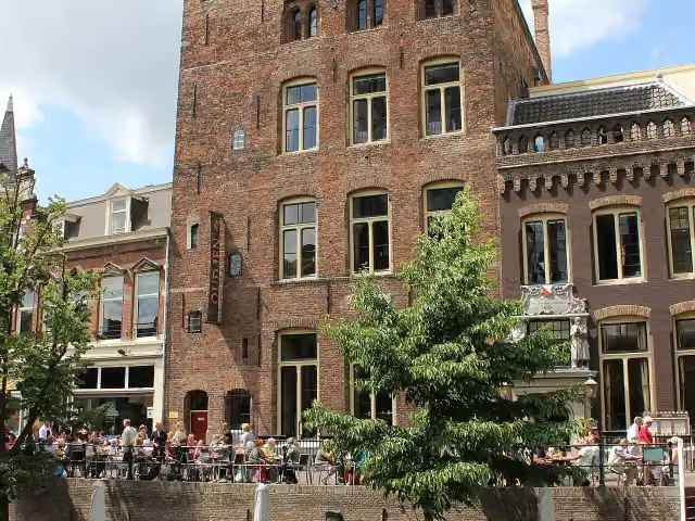
Kasteel Oudaen
775 mPublic toilet
400 m · 15 benches
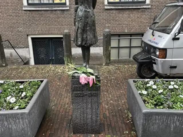
Anne Frank
1.2 km3 public toilets and water point
295 m · bench
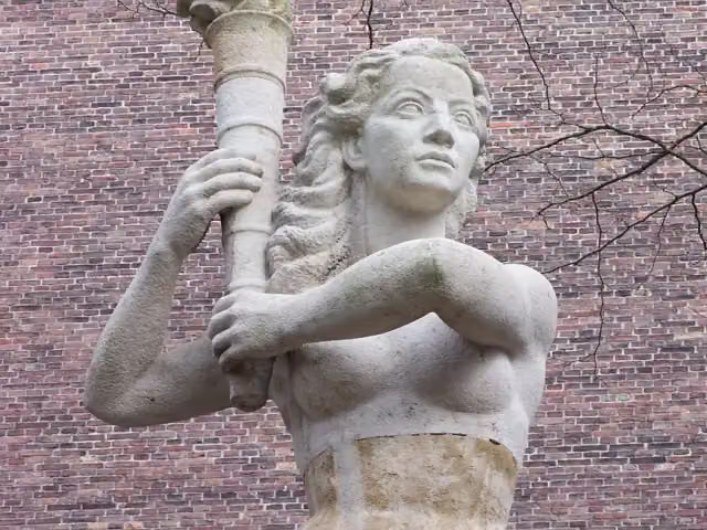
Verzetsmonument and 3 more
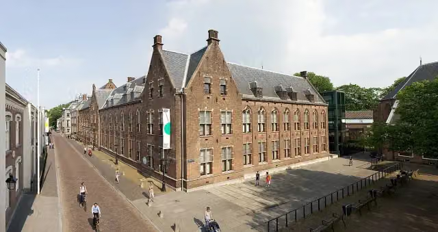
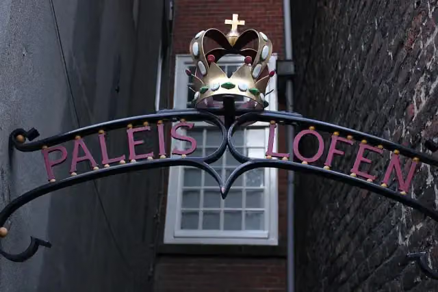
1.5 kmPaleis Lofen, Dom tower, Hugo Wstinc and public toilet
261 m · 2 benches
Abdij van St. Paulus and 1 more
1.7 kmUtrecht Archives Expo
224 m · 5 benches
Museum · Audio story · 2 min
337 m · 5 benches
Oude Hortus and 2 more
2.3 kmMiffy Museum and Centraal Museum
487 m · 18 benches
Water point
2.8 km1.6 km · 40 benches
Public toilet and water point
4.4 km488 m · 26 benches
Rietveld-Schröderhuis
4.9 kmMuseum · Audio story · 2 min
8.5 km · 46 benches
2 public toilets
13.3 km366 m · bench
Slot Zeist
13.7 kmCastle
262 m · 2 benches
Museum Het Hernhutter Huis
14 kmMuseum
2.5 km · 10 benches
Public toilet and water point
16.5 km18.3 km · 14 benches
Water point
34.8 km4.7 km · 4 benches
Finish
39.5 km
Longest stretch without a toilet: 23 kmBetween 16.5 km and 39.5 km there is no public toilet within 100 m of the route.
The route with the pitstops and sights within 100 m of it.
15 sights along the way
In the order you pass them. With the Outdoor Pitstop app you hear their story on the spot. 7 more along the route are on the map.
Kasteel Oudaen
Castle · after 871 m
Anne Frank
Memorial · after 1.2 km
Verzetsmonument
Memorial · after 1.5 km
Paleis Lofen
Castle · after 1.5 km
 Audio story · 2 min
i
Photo: Massimo Catarinella · Wikimedia Commons · CC BY 3.0View the photo on Wikimedia CommonsDom tower
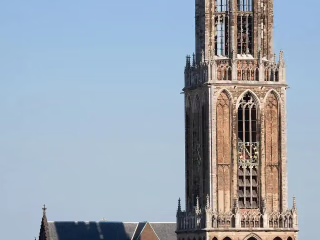
Attraction · after 1.6 km

i
Photo: Marlies Bouten · Wikimedia Commons · CC BY-SA 3.0 nlView the photo on Wikimedia CommonsMemorial · after 1.6 km

Attraction · after 1.7 km
Utrecht Archives Expo
Museum · after 1.8 km
Elevation and terrain
- Up
- ↑ 13 m
- Down
- ↓ 3 m
- Highest point
- 13 m
- Lowest point
- 1 m
Nowhere steeper than 5%.
Elevation from AHN (Rijkswaterstaat), smoothed.
Way types
39.5 km in total- Road: 25.5 km
- Cycle path: 9.4 km
- Street: 4.3 km
- Busy road: 275 m
Surfaces
39.5 km in total- Asphalt: 30.5 km
- Paved: 5.4 km
- Unknown: 3.5 km
About the cycle route Midden-Nederlandroute - 04 - Utrecht - Amerongen
Updated on 6 November 2026, with data from OpenStreetMap and the AHN.
Where do you cycle?
Midden-Nederlandroute - 04 - Utrecht - Amerongen is a cycle route of 39.5 km that starts in Utrecht. It does not end where it starts. Along the way you pass Kasteel Oudaen (after 871 m), Anne Frank (after 1.2 km) and Verzetsmonument (after 1.5 km).
How hard is the route?
The route is almost flat. You climb 13 m in total and descend 3 m. Allow ± 2:40 h, without breaks. The level is moderate.
What roads do you cycle on?
The longest part is road (25.5 km), cycle path (9.4 km) and street (4.3 km). Of the surface, 30.5 km asphalt and 5.4 km paved. For 3.5 km the surface is not known.
Pitstops along the way
Within 100 metres of the route there are 195 benches and picnic tables, 5 water fountains and refill points and 9 public toilets. You can fill your bottle after 1.3 km, after 2.8 km, after 4.4 km, after 16.5 km and after 34.8 km. The longest stretch without a toilet is 23 km. The Outdoor Pitstop app navigates you there.
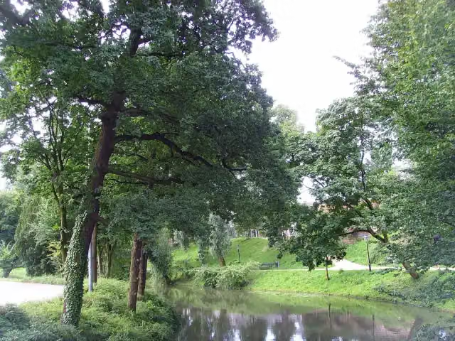
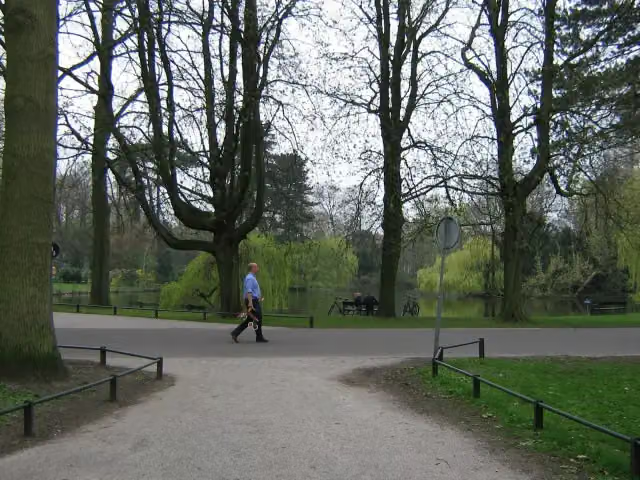
This stage of the Midden-Nederlandroute (LF4) is a cycle route of about 40 km from Utrecht to Amerongen. You ride through the centre of Utrecht, past the Dom Tower, the Centraal Museum and the Rietveld Schröder House, then by the Wilhelminapark and the Rhijnauwen estate along the Kromme Rijn to Zeist, where you pass Slot Zeist. From there the route runs through Leersum to Amerongen, on the edge of the Utrechtse Heuvelrug. There is little climbing and almost all of it is asphalt or paved. We know of nine toilets and five water taps on the way, but no bike pump. The full LF4 runs from The Hague to Enschede.
Source: Wikipedia (CC BY-SA)
Part of Midden-Nederlandroute
Website of the routeCycle routes nearby
6- EuroVelo 2 - Nederland part 1Hard · From A to B148.3 km
- Midden-Nederlandroute - 03 - Bodegraven - UtrechtModerate · From A to B36.7 km
- F12Easy · From A to B17.8 km
- Euroroute R1 - Meijendel - ZwillbrockHard · From A to B263.9 km
- Doorfietsroute Utrecht - AmersfoortEasy · From A to B21.5 km
- LF Waterlinieroute - 04 - Naarden - UtrechtModerate · From A to B50.8 km
Sights nearby
Within 10 km of the route, best known first.
- 1
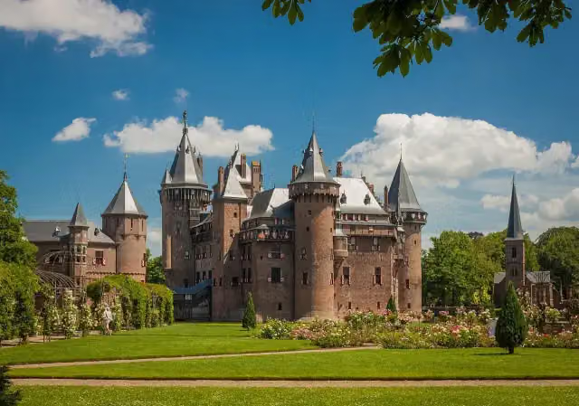 Kasteel de HaarAttraction · 8.8 km from the route
- 2
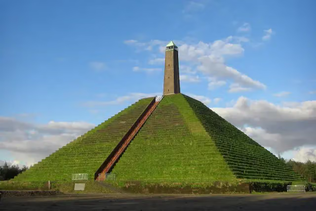 Pyramid of AusterlitzAttraction · 6.3 km from the route
- 3
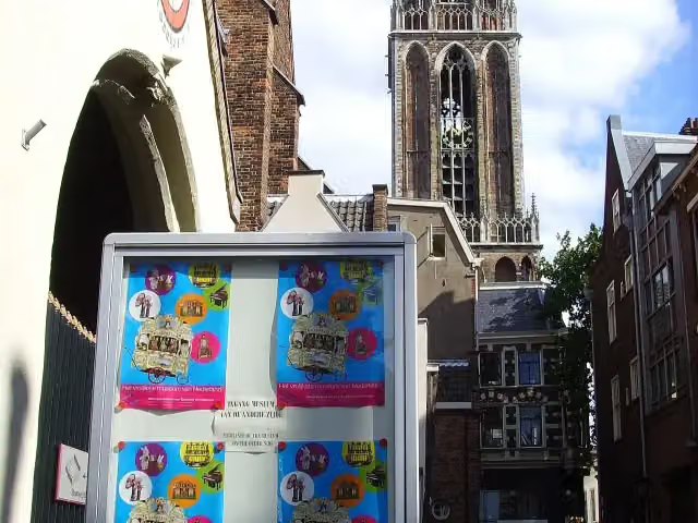 Museum SpeelklokMuseum · 140 m from the route
- 4
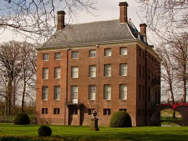 Kasteel AmerongenCastle · 190 m from the route
- 5
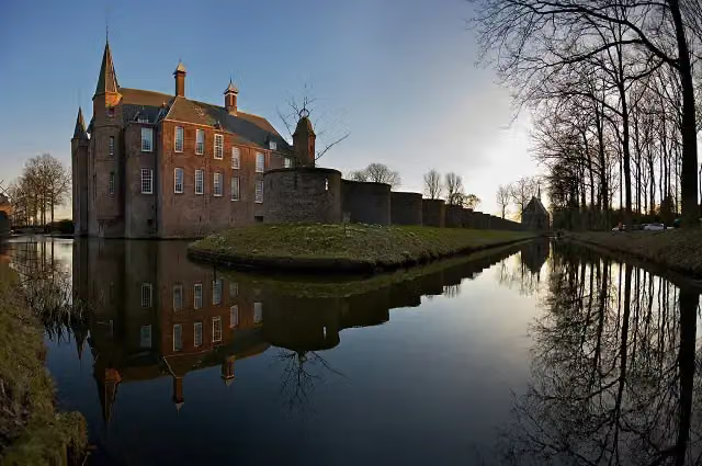 Slot ZuylenCastle · 4.6 km from the route
- 6
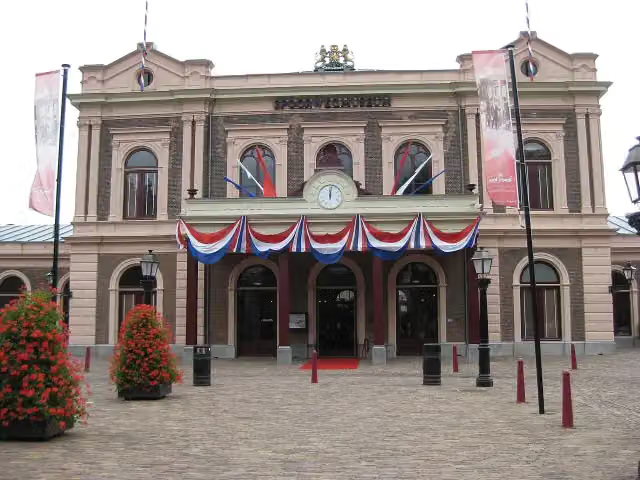 SpoorwegmuseumMuseum · 215 m from the route
- 7
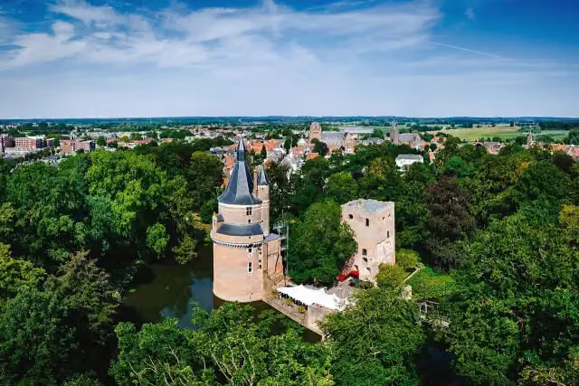 Duurstede CastleCastle · 5.1 km from the route
- 8
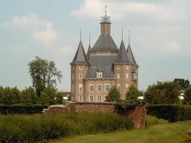 Kasteel HeemstedeCastle · 5.4 km from the route
- 9
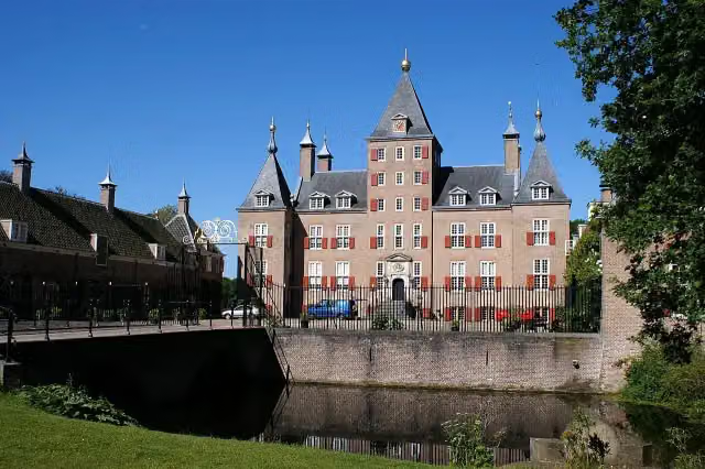 Kasteel RenswoudeCastle · 10 km from the route
- 10
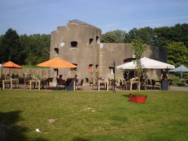 Fort aan de KlopFort · 3.4 km from the route
- 11
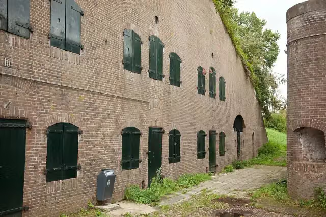 Fort De GagelFort · 4.1 km from the route
- 12
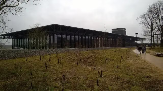 Nationaal Militair MuseumMuseum · 6.2 km from the route
- 13
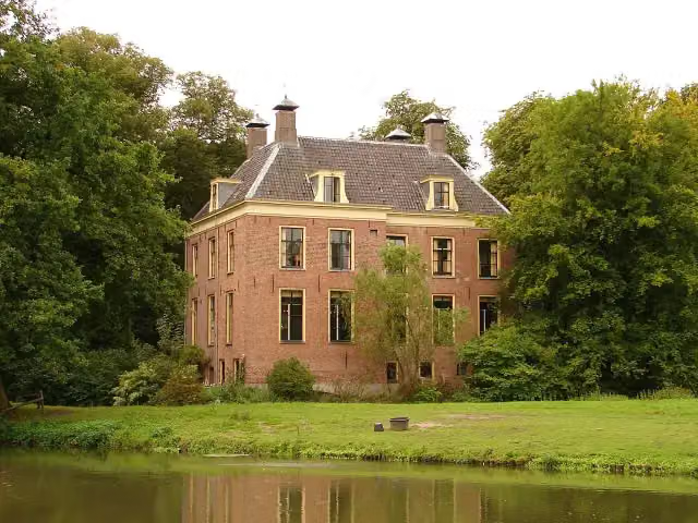 Kasteel RhijnauwenAttraction · 184 m from the route
- 14
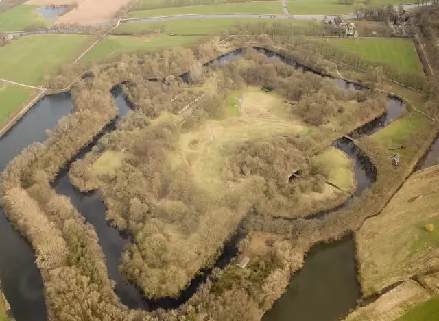 Fort bij RijnauwenFort · 309 m from the route
- 15
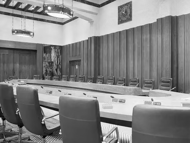 De InktpotAttraction · 567 m from the route
- 16
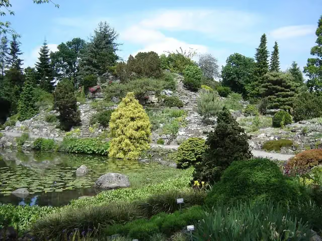 Botanische Tuinen Universiteit UtrechtAttraction · 1.1 km from the route
- 17
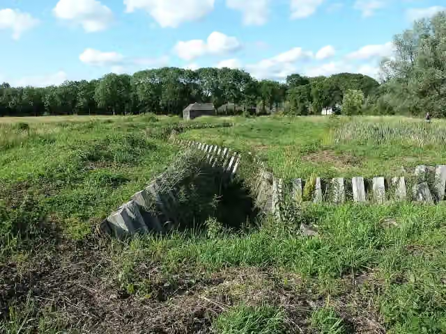 Fort RuigenhoekFort · 4.1 km from the route
- 18
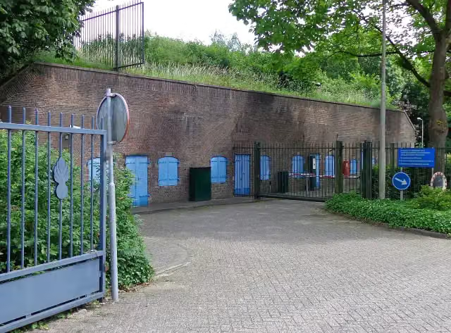 Fort de BiltFort · 1.1 km from the route
- 19
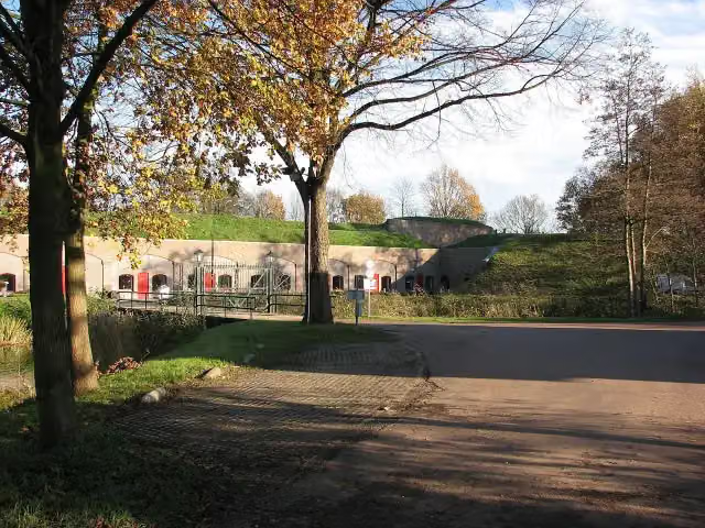 Fort VoordorpFort · 2.7 km from the route
- 20
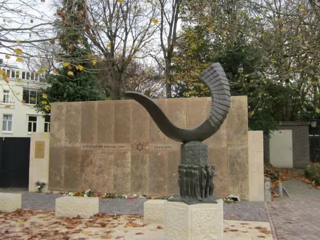 Joods Monument UtrechtMemorial · 311 m from the route
- 21
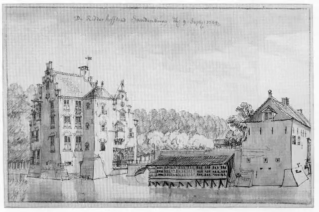 Kasteel SandenburgCastle · 1.1 km from the route
- 22
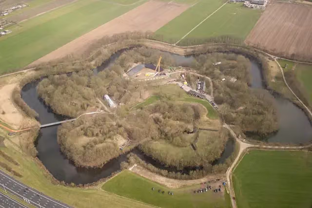 Fort VechtenFort · 1.5 km from the route
- 23
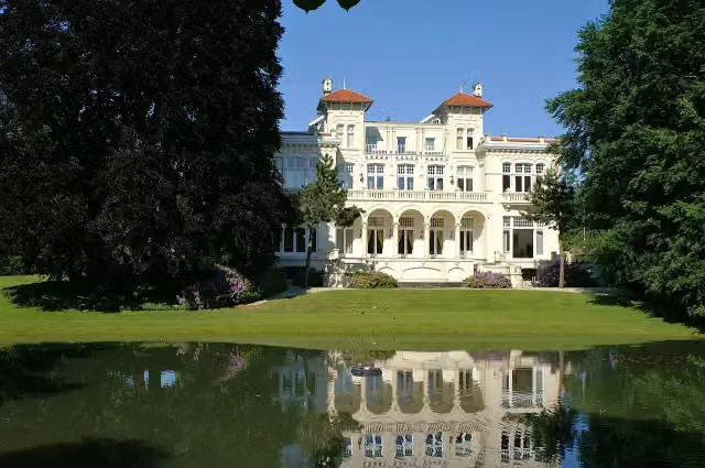 Ma RetraiteCastle · 1.5 km from the route
- 24
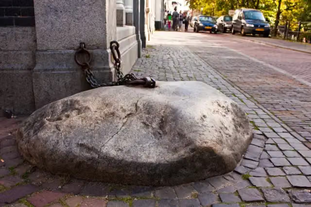 De Gesloten SteenAttraction · 148 m from the route
- 25
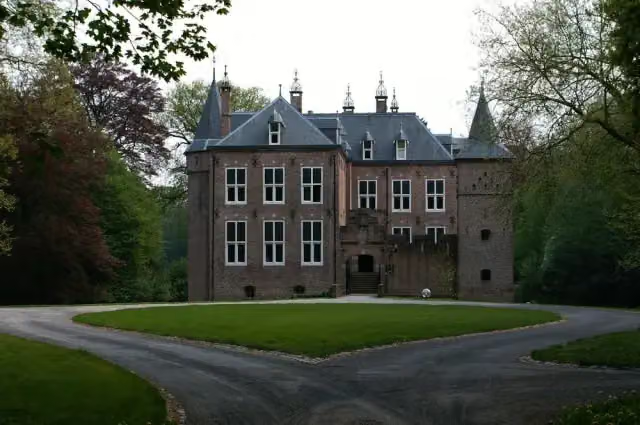 Kasteel MoersbergenCastle · 608 m from the route
Explore more
Frequently asked questions
How long is Midden-Nederlandroute - 04 - Utrecht - Amerongen?
Midden-Nederlandroute - 04 - Utrecht - Amerongen is 39.5 km long. Allow ± 2:40 h of riding: 15 km an hour, without breaks.
Is this route a circular ride?
No, the route starts and ends at different spots.
Where does this route start?
The route starts in Utrecht.
How hard is this route?
Moderate, with 13 m of climbing.
Are there toilets along this route?
Yes, there are 9 public toilets within 100 m of the route. The longest stretch without a toilet is 23 km.
Can you fill up with water along this route?
Yes, there are 5 water fountains and refill points within 100 m of the route.
What is there to see along this route?
Along the way you pass Kasteel Oudaen, Anne Frank and Verzetsmonument.
Starting point
More routes from this place
Route data © OpenStreetMap contributors





