Walking route · Lübeck · Updated on 14 November 2026
Jakobsweg Via Scandinavica walk
Jakobsweg Via Scandinavica is a walk of 1,096 km from Lübeck. Along the way you'll find 2,863 benches, 29 water fountains and refill points, 139 public toilets, 34 bike pumps and 5 honesty boxes and farm vending machines.

i

i

i
The route step by step
From start to finish, with what you pass along the way and the distance in between.
- 1,096 km
- ± 28:15 h per stage
- ↑ 6,424 m · ↓ 6,414 m
- Hard per stage
- From A to B
- National route
Pick a stage to see the pitstops per kilometre. Along the way you'll find 2,863 benches, 29 water fountains and refill points, 139 public toilets, 34 bike pumps and 5 honesty boxes and farm vending machines.
Follow these steps in the appThe route with the water points, toilets and sights within 100 m of it.
114 sights along the way
In the order you pass them. With the Outdoor Pitstop app you hear their story on the spot. 106 more along the route are on the map.

i
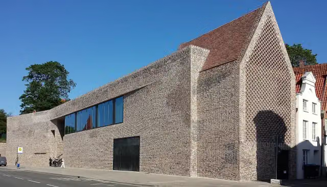
Photo: BS Hochschulstadtteil (Diskussion) 20:27, 11. Jun. 2015 (CEST) · Wikimedia Commons · CC BY 4.0View the photo on Wikimedia CommonsMuseum

i
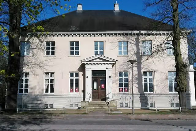
Photo: 1970gemini · Wikimedia Commons · CC BY-SA 4.0View the photo on Wikimedia CommonsMuseum
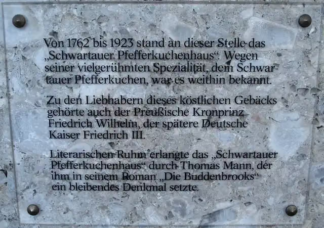
i
Photo: Genet at German Wikipedia · Wikimedia Commons · CC BY-SA 3.0View the photo on Wikimedia CommonsMemorial
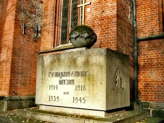
i
Photo: 1970gemini at German Wikipedia · Wikimedia Commons · CC BY-SA 3.0View the photo on Wikimedia CommonsMemorial
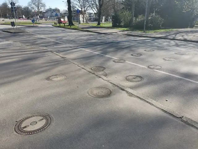
i
Photo: Wikitarisch · Wikimedia Commons · CC BY-SA 4.0View the photo on Wikimedia CommonsMonument
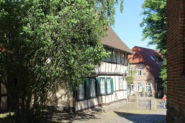
i
Photo: Dguendel · Wikimedia Commons · CC BY 4.0View the photo on Wikimedia CommonsMuseum
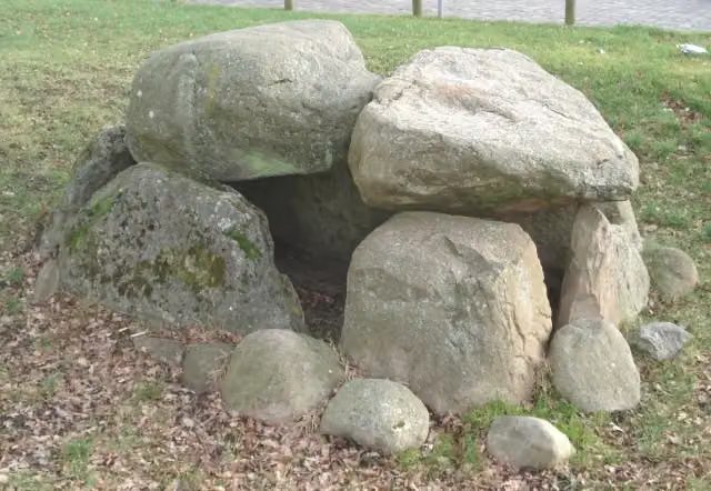
i
Photo: Genet at de.wikipedia · Wikimedia Commons · CC BY-SA 3.0View the photo on Wikimedia CommonsArchaeological site

Observation tower
Stages (9)
- 1Schleswig-Holstein - Aternative Possehlbrücke3.6 km
- 2Schleswig-Holstein208.4 km
- 3Niedersachsen, Abzweig Bardowiker Dom656 m
- 4Niedersachsen458 km
- 5Zubringer von Travemünde22.9 km
- 6Jakobusweg - Hamburg St. Jacobi - Hittfeld32.8 km
- 7Jakobusweg - Lüneburger Heide - Path 1162.8 km
- 8Jakobusweg - Lüneburger Heide - Path 2184.2 km
- 9Jakobusweg - Lüneburg - Wilsede45.5 km
Elevation and terrain
- Up
- ↑ 6,424 m
- Down
- ↓ 6,414 m
- Highest point
- 526 m
- Lowest point
- 0 m
- 5-10% slope · 14 km
- 20% slope or steeper · 101 m
- 46 stairs
Elevation from Copernicus GLO-30 (European Union and ESA), smoothed.
produced using Copernicus WorldDEM-30 © DLR e.V. 2010-2014 and © Airbus Defence and Space GmbH 2014-2018 provided under COPERNICUS by the European Union and ESA; all rights reserved
Way types
1,096 km in total- Track: 465.9 km
- Street: 196.6 km
- Road: 189.2 km
- Path: 179 km
- Footpath: 35.1 km
- Busy road: 30.7 km
- Cycleway: 17 km
- Stairs: 46 stairs
- Unknown: 501 m
Surfaces
1,096 km in total- Asphalt: 380.5 km
- Gravel: 260.5 km
- Paved: 131.2 km
- Unpaved: 117.7 km
- Natural: 29.2 km
- Unknown: 197.2 km
About the walking route Jakobsweg Via Scandinavica
Updated on 14 November 2026, with data from OpenStreetMap, the AHN and Copernicus.
Where do you walk?
Jakobsweg Via Scandinavica is a walking route of 1,096 km that starts in Lübeck. It does not end where it starts.
How hard is the route?
You climb 6,424 m in total and descend 6,414 m. There are 46 flights of steps along the way. Allow ± 28:15 h per stage, without breaks. Per stage the level is hard.
What paths do you walk on?
The longest part is track (465.9 km), street (196.6 km) and road (189.2 km). Of the surface, 380.5 km asphalt and 260.5 km gravel. For 197.2 km the surface is not known.
Pitstops along the way
Within 100 metres of the route there are 2,863 benches, 29 water fountains and refill points, 139 public toilets, 34 bike pumps and 5 honesty boxes and farm vending machines. The Outdoor Pitstop app navigates you there.
Walks nearby
6- Jakobsweg via Baltica, Schleswig-Holstein OstHard · From A to B27.1 km›
- Jakobsweg via Baltica, Schleswig-Holstein Ost - Aternative PossehlbrückeEasy · From A to B3.4 km›
- StormarnwegHard · From A to B113 km›
- European Long distance path E1 - part Germany, Schleswig-Holstein (alternative route Lübeck)Moderate · From A to B14.5 km›
- Europäischer Fernwanderweg E9, Deutschland, Alternativroute LübeckModerate · From A to B12.7 km›
- Europäischer Fernwanderweg E6, Deutschland, Exkurs Lübeck-SüdEasy · From A to B7.7 km›
Sights nearby
Within 10 km of the route, best known first.
- 1
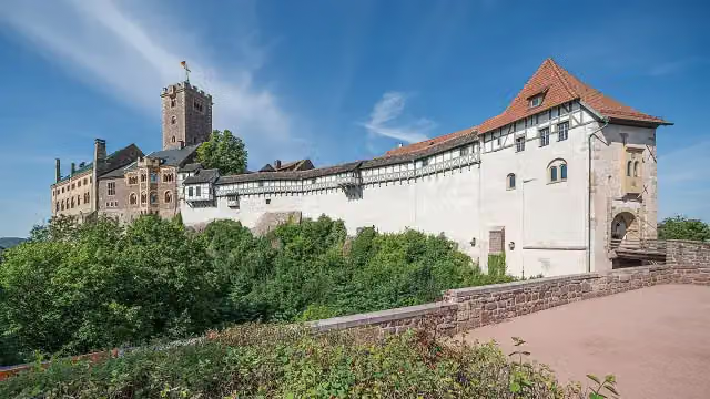
WartburgAttraction · 1.2 km from the route - 2
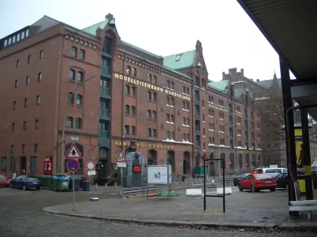
Miniature WonderlandAttraction · 891 m from the route - 3

Elbe Philharmonic HallAttraction · 1.2 km from the route - 4
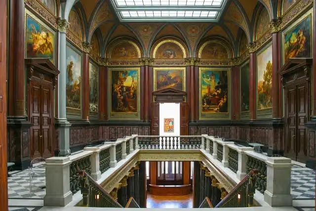
Hamburger KunsthalleMuseum · 597 m from the route - 5
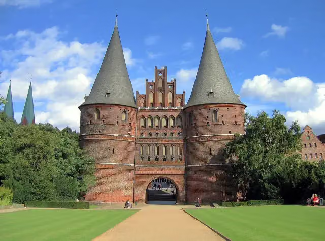
Holsten GateAttraction · 360 m from the route - 6
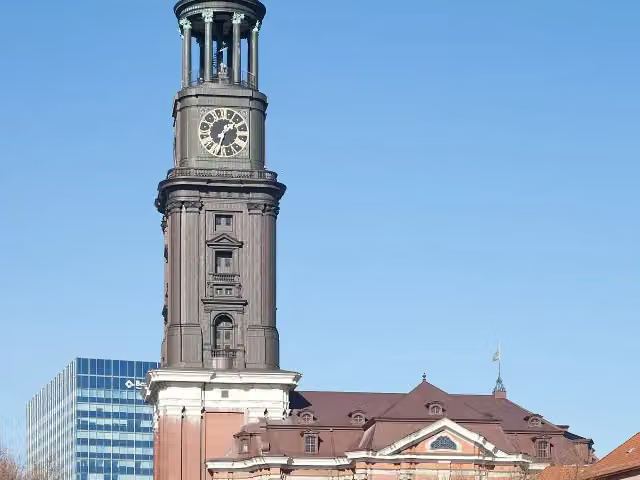
Church of St. MichaelAttraction · 1.5 km from the route - 7
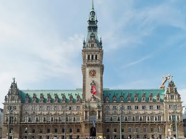
RathausAttraction · 592 m from the route - 8

SpeicherstadtAttraction · 1 km from the route - 9
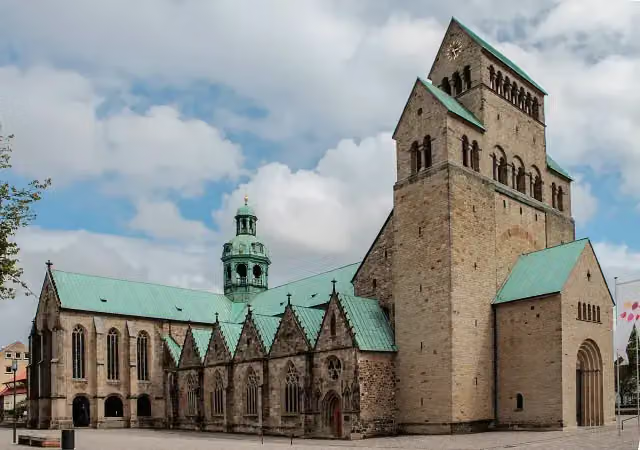
Hildesheim CathedralAttraction · 543 m from the route - 10
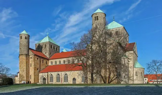
St. Michael's ChurchAttraction · 308 m from the route - 11
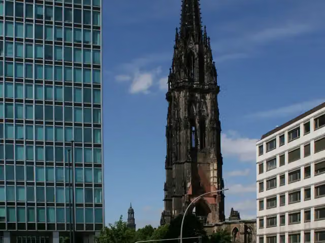
St. Nikolai MuseumMuseum · 686 m from the route - 12
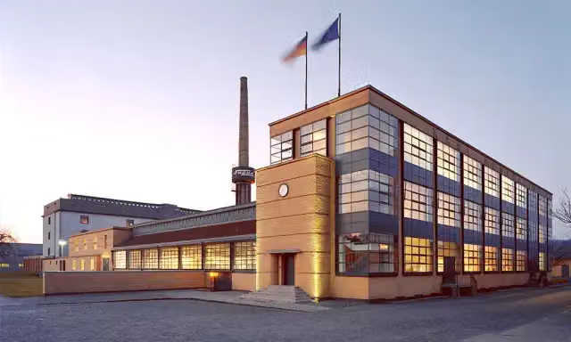
Fagus FactoryAttraction · 6.4 km from the route - 13
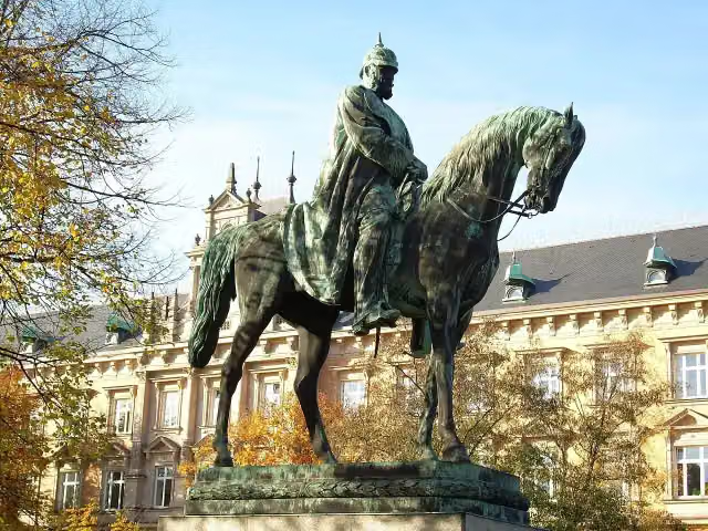
Planten un BlomenAttraction · 1.7 km from the route - 14

Wappen FC St. PauliMemorial · 2.3 km from the route - 15
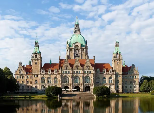
New Town HallAttraction · 181 m from the route - 16
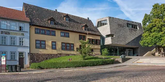
Bachhaus EisenachMuseum · 526 m from the route - 17
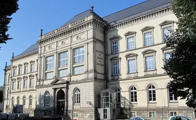
Museum für Kunst und Gewerbe HamburgMuseum · 550 m from the route - 18
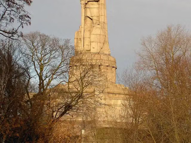
Bismarck-DenkmalAttraction · 1.9 km from the route - 19
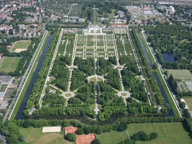
Herrenhäuser GärtenAttraction · 3.5 km from the route - 20
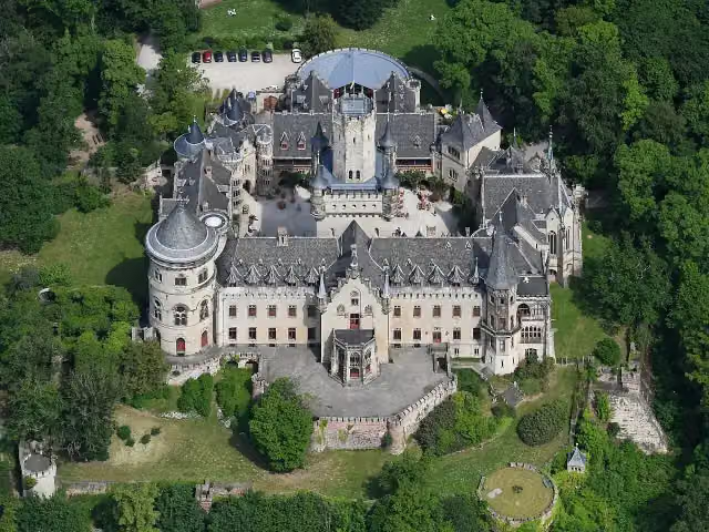
Schloss MarienburgAttraction · 8.9 km from the route - 21
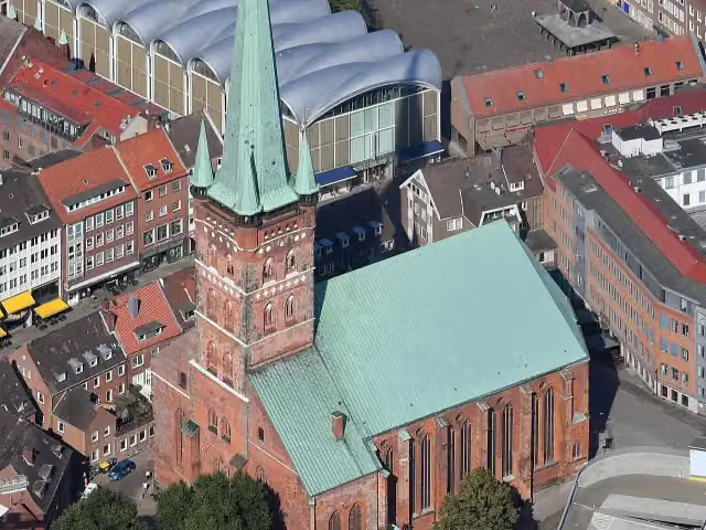
St.-Petri Kultur- und UniversitätskircheAttraction · 123 m from the route - 22
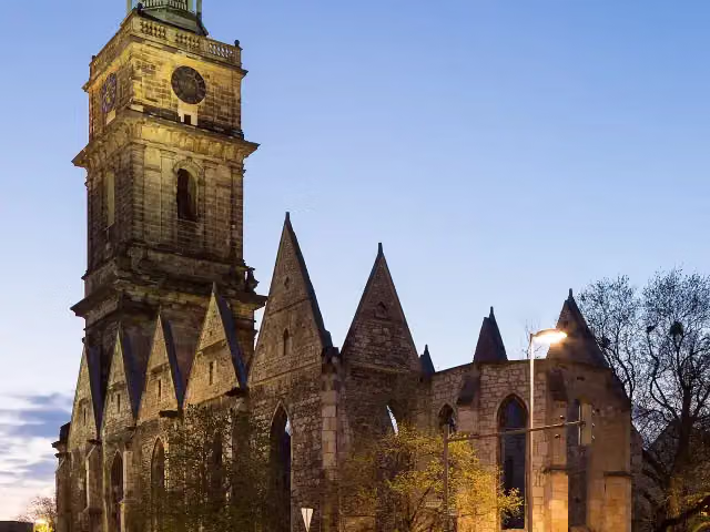
Aegidien ChurchRuins · 295 m from the route - 23
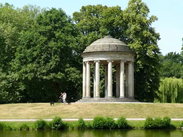
LeibniztempelMonument · 2.7 km from the route - 24
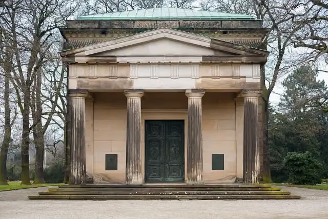
Welf family mausoleumAttraction · 3.6 km from the route - 25
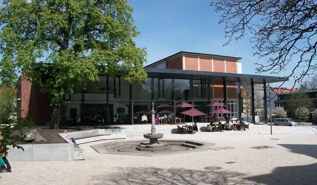
Hamburg Archaeological MuseumMuseum · 259 m from the route
Explore more
Frequently asked questions
How long is Jakobsweg Via Scandinavica?›
Jakobsweg Via Scandinavica is 1,096 km long, in 9 parts of 121.8 km on average. Allow ± 28:15 h per part of walking: 4.5 km an hour and 10 minutes more per 100 metres of climbing, without breaks.
Is this route a circular walk?›
No, the route starts and ends at different spots.
Where does this route start?›
The route starts in Lübeck.
How hard is this route?›
Hard per stage, with 714 m per stage of climbing.
Are there toilets along this route?›
Yes, there are 139 public toilets within 100 m of the route.
Can you fill up with water along this route?›
Yes, there are 29 water fountains and refill points within 100 m of the route.
What is there to see along this route?›
Along the way you pass Hansemuseum Haupteingang, Brahms-Institut an der Musikhochschule Lübeck and Pfefferkuchenhaus.
Can I download this route as a GPX file?›
Yes. Sign in with your Outdoor Pitstop account and choose Download GPX at the top of this page: 10 routes a month for free, unlimited with Pro.
Starting point
More routes from this place
Route data © OpenStreetMap contributors