Skip to content
Outdoor Pitstop logoOutdoor Pitstop

Walking route · Göttingen · Updated on 14 November 2026

Jakobsweg Via Scandinavica, Niedersachsen walk

Jakobsweg Via Scandinavica, Niedersachsen is a walk of 458 km from Göttingen. Along the way you'll find 1,249 benches, 11 water fountains and refill points, 41 public toilets, 5 bike pumps and 3 honesty boxes and farm vending machines.

Open in the app
Jakobsweg Via Scandinavica, Niedersachsen
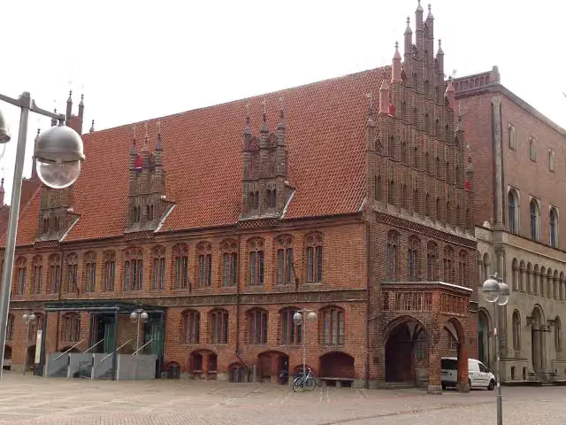
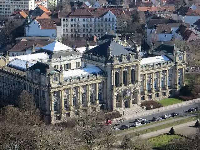
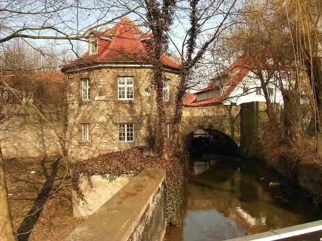
Niedersächsischer Landtag
i
Photo: Tim Rademacher · Wikimedia Commons · CC BY-SA 3.0View the photo on Wikimedia Commons
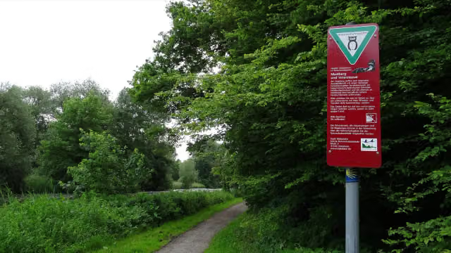
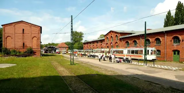
Jakobsweg Via Scandinavica, Niedersachsen, photo 2
i
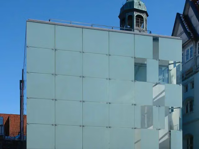
Photo: Wedmann · Wikimedia Commons · CC BY-SA 3.0View the photo on Wikimedia Commons
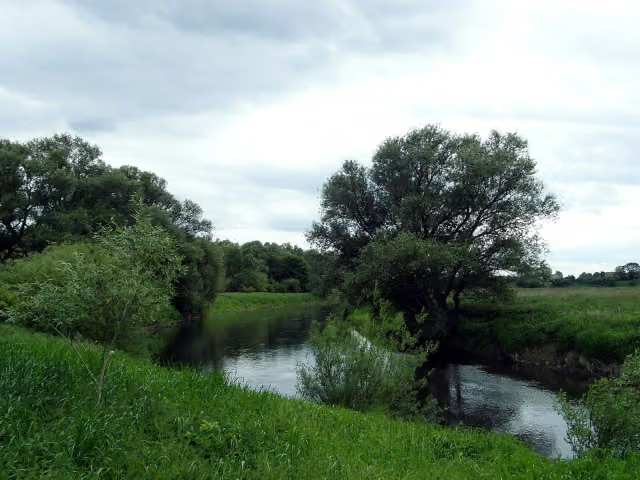
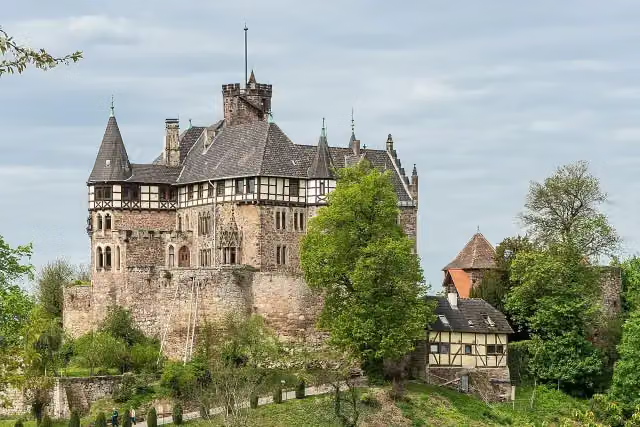
Jakobsweg Via Scandinavica, Niedersachsen, photo 3
i
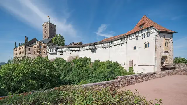
Photo: Den man tau · Wikimedia Commons · CC BY-SA 3.0View the photo on Wikimedia Commons

The route step by step

From start to finish, with what you pass along the way and the distance in between.

  • 458 km
  • ± 109:25 h
  • ↑ 4,572 m · ↓ 4,546 m
  • Hard
  • From A to B
  • National route

This route is in pieces in OpenStreetMap, so there are no kilometres per pitstop. Along the way you'll find 1,249 benches, 11 water fountains and refill points, 41 public toilets, 5 bike pumps and 3 honesty boxes and farm vending machines.

Follow these steps in the app

The route with the pitstops and sights within 100 m of it.

50 sights along the way

In the order you pass them. With the Outdoor Pitstop app you hear their story on the spot. 42 more along the route are on the map.

Elevation and terrain

Up
↑ 4,572 m
Down
↓ 4,546 m
Highest point
526 m
Lowest point
5 m
  • 5-10% slope · 29.9 km
  • 10-15% slope · 2.3 km
  • 23 stairs

Elevation from Copernicus GLO-30 (European Union and ESA), smoothed.

produced using Copernicus WorldDEM-30 © DLR e.V. 2010-2014 and © Airbus Defence and Space GmbH 2014-2018 provided under COPERNICUS by the European Union and ESA; all rights reserved

Way types

458 km in total
  • Track: 251.2 km
  • Street: 77.2 km
  • Path: 58.6 km
  • Road: 40.3 km
  • Footpath: 13.8 km
  • Cycleway: 7.7 km
  • Busy road: 7.1 km
  • Stairs: 23 stairs

Surfaces

458 km in total
  • Asphalt: 121.1 km
  • Gravel: 109.3 km
  • Unpaved: 61.5 km
  • Paved: 59.7 km
  • Natural: 8.7 km
  • Unknown: 96.5 km

About the walking route Jakobsweg Via Scandinavica, Niedersachsen

Updated on 14 November 2026, with data from OpenStreetMap, the AHN and Copernicus.

Where do you walk?

Jakobsweg Via Scandinavica, Niedersachsen is a walking route of 458 km that starts in Göttingen. It does not end where it starts.

How hard is the route?

You climb 4,572 m in total and descend 4,546 m. There are 23 flights of steps along the way. Allow ± 109:25 h, without breaks. The level is hard.

What paths do you walk on?

The longest part is track (251.2 km), street (77.2 km) and path (58.6 km). Of the surface, 121.1 km asphalt and 109.3 km gravel. For 96.5 km the surface is not known.

Pitstops along the way

Within 100 metres of the route there are 1,249 benches, 11 water fountains and refill points, 41 public toilets, 5 bike pumps and 3 honesty boxes and farm vending machines. The Outdoor Pitstop app navigates you there.

Part of Jakobsweg Via Scandinavica

Website of the route

Sights nearby

Within 10 km of the route, best known first.

  1. 1WartburgWartburgAttraction · 1.2 km from the route
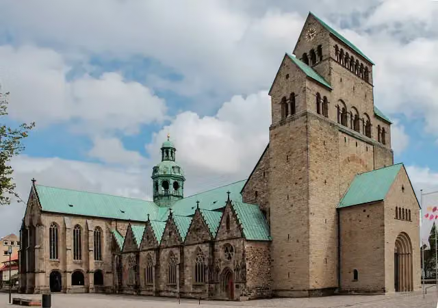
  2. 2Hildesheim CathedralHildesheim CathedralAttraction · 543 m from the route
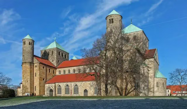
  3. 3St. Michael's ChurchSt. Michael's ChurchAttraction · 308 m from the route
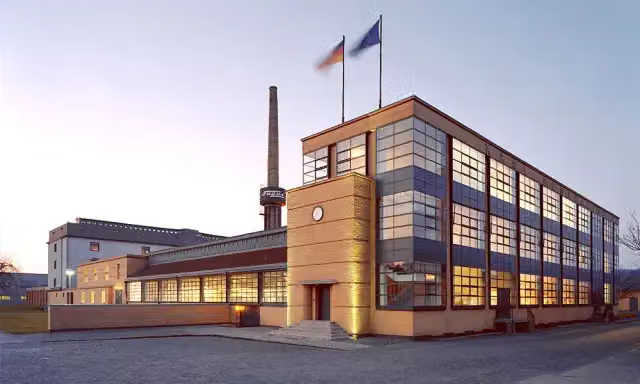
  4. 4Fagus FactoryFagus FactoryAttraction · 6.4 km from the route
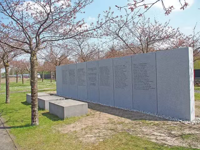
  5. 5Gedenkstein Zugunglück Eschede 03. Juni 1998Gedenkstein Zugunglück Eschede 03. Juni 1998Memorial · 1.2 km from the route
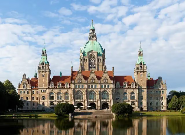
  6. 6New Town HallNew Town HallAttraction · 181 m from the route
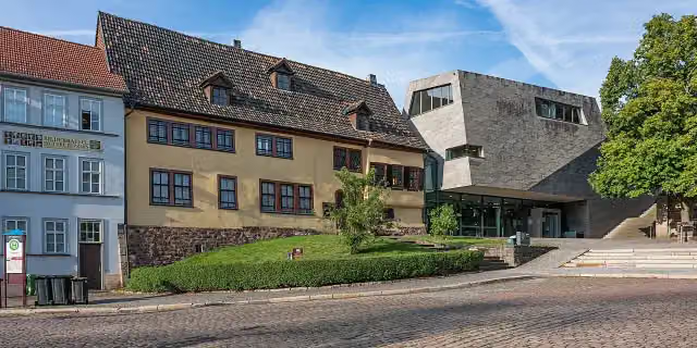
  7. 7Bachhaus EisenachBachhaus EisenachMuseum · 526 m from the route
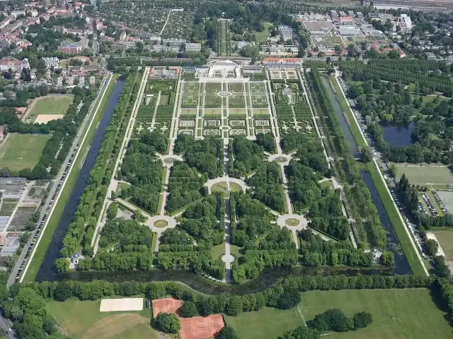
  8. 8Herrenhäuser GärtenHerrenhäuser GärtenAttraction · 3.5 km from the route
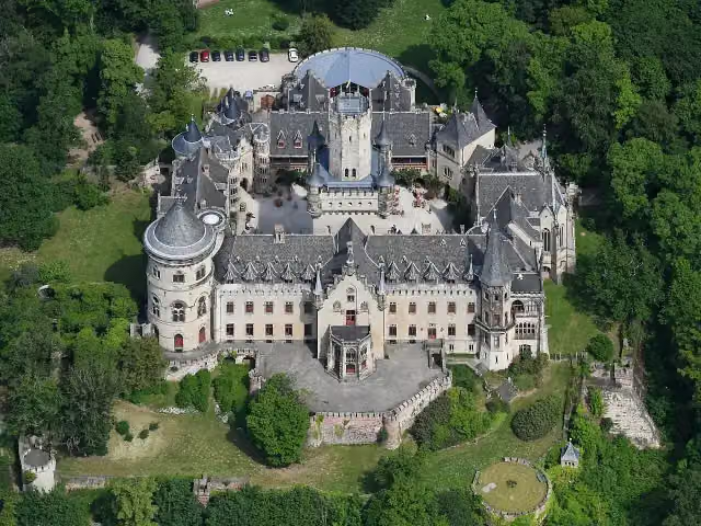
  9. 9Schloss MarienburgSchloss MarienburgAttraction · 8.9 km from the route
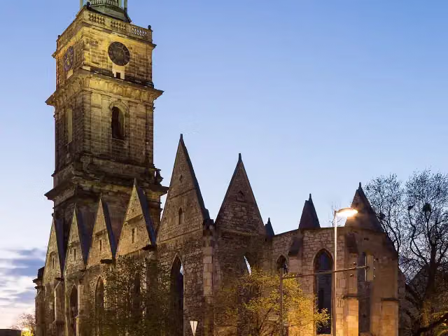
  10. 10Aegidien ChurchAegidien ChurchRuins · 295 m from the route
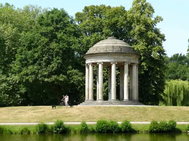
  11. 11LeibniztempelLeibniztempelMonument · 2.7 km from the route
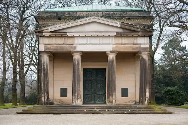
  12. 12Welf family mausoleumWelf family mausoleumAttraction · 3.6 km from the route
  13. 13Museum August KestnerMuseum August KestnerMuseum · 141 m from the route
  14. 14St. John's ChurchSt. John's ChurchAttraction · 101 m from the route
  15. 15Saint Nicholas ChurchSaint Nicholas ChurchAttraction · 132 m from the route
  16. 16Hiroshima-GedenkhainHiroshima-GedenkhainMemorial · 2.2 km from the route
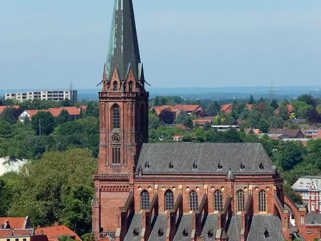
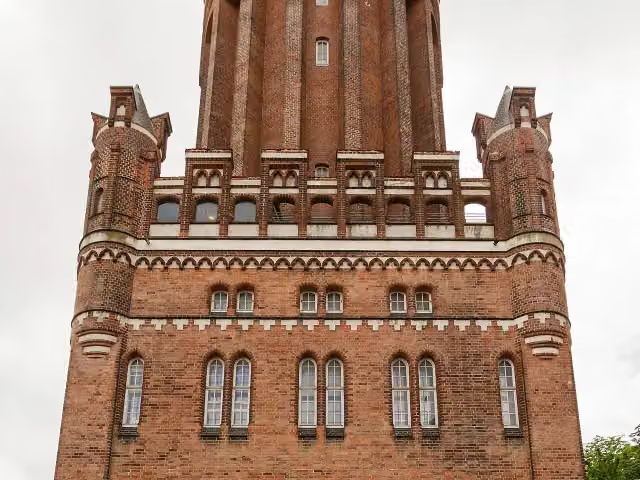
  17. 17Lüneburg Water TowerLüneburg Water TowerAttraction · 142 m from the route
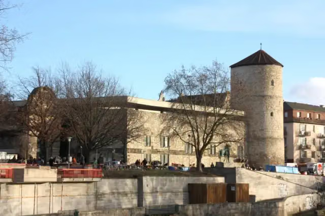
  18. 18Hanover Historical MuseumHanover Historical MuseumMuseum · 238 m from the route
  19. 19Niedersächsisches LandesmuseumNiedersächsisches LandesmuseumMuseum · 269 m from the route
  20. 20Bismarck CottageBismarck CottageAttraction · 309 m from the route
  21. 21German Salt MuseumGerman Salt MuseumMuseum · 552 m from the route
  22. 22Hanover Tramway MuseumHanover Tramway MuseumMuseum · 7.5 km from the route
  23. 23Schloss BerlepschSchloss BerlepschCastle · 8.2 km from the route
  24. 24Leibniz MemorialLeibniz MemorialMemorial · 280 m from the route
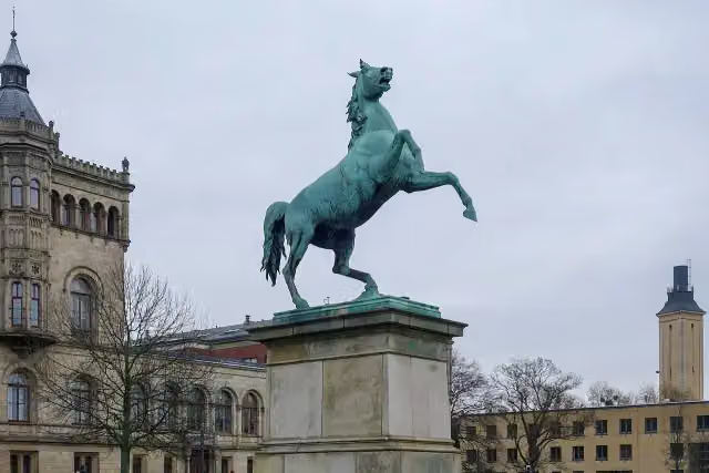
  25. 25Saxon SteedSaxon SteedMonument · 1.7 km from the route

Explore more

Frequently asked questions

How long is Jakobsweg Via Scandinavica, Niedersachsen?

Jakobsweg Via Scandinavica, Niedersachsen is 458 km long. Allow ± 109:25 h of walking: 4.5 km an hour and 10 minutes more per 100 metres of climbing, without breaks.

Is this route a circular walk?

No, the route starts and ends at different spots.

Where does this route start?

The route starts in Göttingen.

How hard is this route?

Hard, with 4,572 m of climbing.

Are there toilets along this route?

Yes, there are 41 public toilets within 100 m of the route.

Can you fill up with water along this route?

Yes, there are 11 water fountains and refill points within 100 m of the route.

What is there to see along this route?

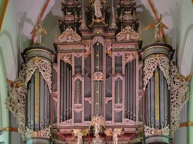
Along the way you pass Heimatmuseum Treffurt, Orgeln von St. Johannis and Niedersächsischer Landtag.

Can I download this route as a GPX file?

Yes. Sign in with your Outdoor Pitstop account and choose Download GPX at the top of this page: 10 routes a month for free, unlimited with Pro.

Starting point

More routes from this place

Göttingen

Route data © OpenStreetMap contributors

The free app

All of Outdoor Pitstop, in your pocket

Find the nearest pitstop, navigate there, listen to audio tours, earn XP and make routes and lists together.

Download on the App StoreGet it on Google Play
How Outdoor Pitstop works →
The map of the app with pitstops nearby
A pitstop in the app, with a photo, a review and Navigate
Your profile in the app, with level and XP