Skip to content
Outdoor Pitstop logoOutdoor Pitstop

Walking route · Büchen · Updated on 14 November 2026

Jakobsweg Via Scandinavica, Schleswig-Holstein walk

Jakobsweg Via Scandinavica, Schleswig-Holstein is a walk of 208.4 km from Büchen. Along the way you'll find 555 benches, 11 water fountains and refill points, 53 public toilets, 15 bike pumps and 1 honesty box.
Open in the app
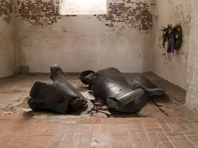
Jakobsweg Via Scandinavica, Schleswig-Holstein
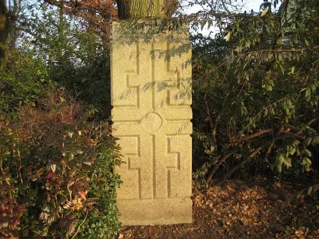
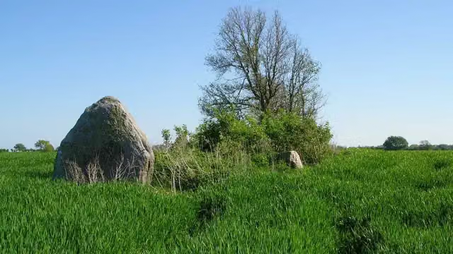
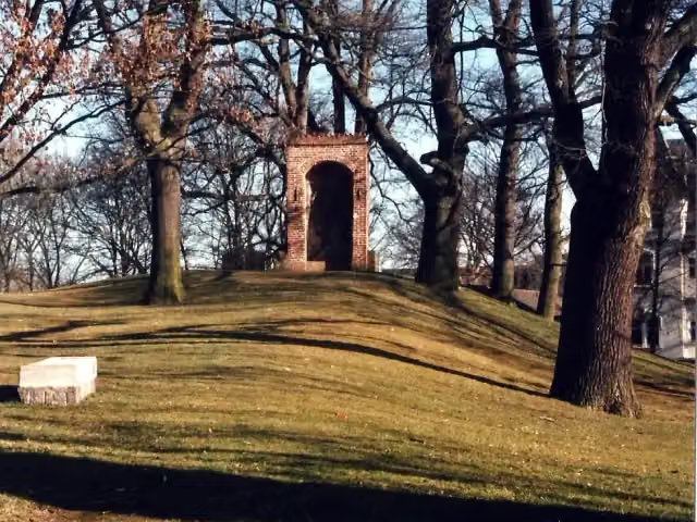
Ende des Kreuzweges
i
Photo: 1970gemini · Wikimedia Commons · CC BY-SA 3.0View the photo on Wikimedia Commons
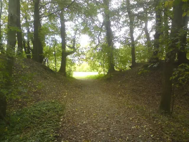
Jakobsweg Via Scandinavica, Schleswig-Holstein, photo 2
i
Photo: Günter Klug · Wikimedia Commons · CC BY-SA 2.5View the photo on Wikimedia Commons
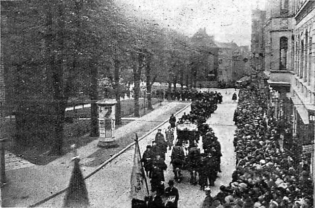
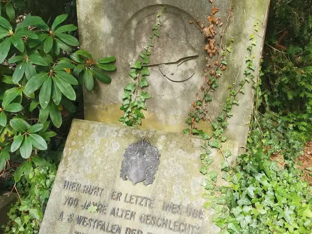
Jakobsweg Via Scandinavica, Schleswig-Holstein, photo 3
i
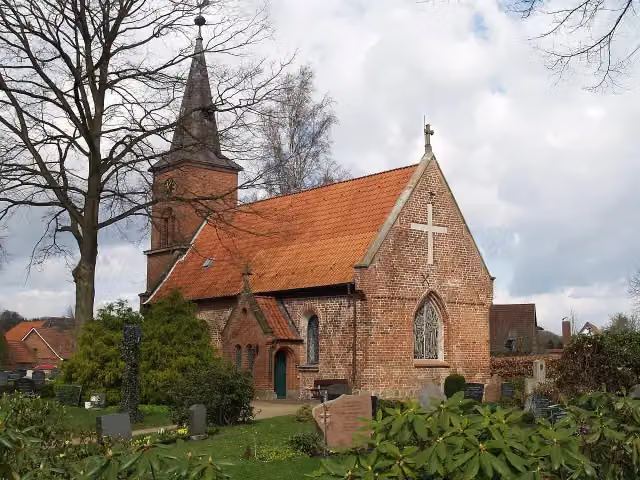
Photo: Photo: Andreas Praefcke · Wikimedia Commons · CC BY 4.0View the photo on Wikimedia Commons

The route step by step

From start to finish, with what you pass along the way and the distance in between.

  • 208.4 km
  • ± 47:15 h
  • ↑ 554 m · ↓ 530 m
  • Hard
  • From A to B
  • National route

This route is in pieces in OpenStreetMap, so there are no kilometres per pitstop. Along the way you'll find 555 benches, 11 water fountains and refill points, 53 public toilets, 15 bike pumps and 1 honesty box.

Follow these steps in the app

The route with the pitstops and sights within 100 m of it.

33 sights along the way

In the order you pass them. With the Outdoor Pitstop app you hear their story on the spot. 25 more along the route are on the map.

  • Observation tower: DLRG Turm 4

    Observation tower

  • Observation tower: DLRG Turm 7

    Observation tower

  • Memorial: Geibel-Denkmal

    Memorial

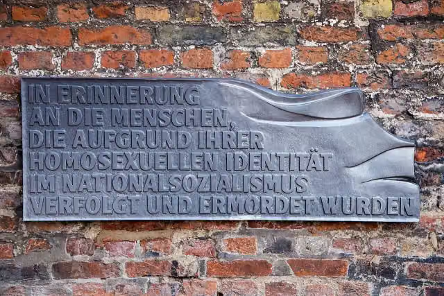
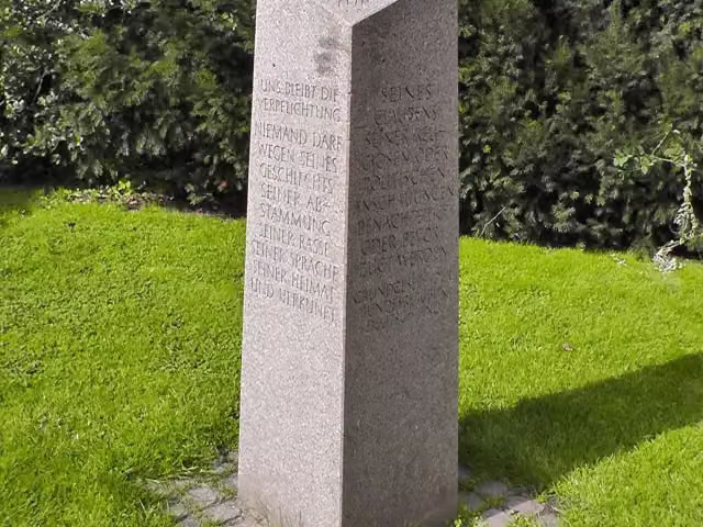
  • Denkmal für im Nationalsozialismus verfolgte Homosexuelle in Lübeck
    i
    Photo: Kevin Hackert · Wikimedia Commons · CC BY-SA 4.0View the photo on Wikimedia Commons

    Memorial

  • Ende des Kreuzweges
    i
    Photo: 1970gemini · Wikimedia Commons · CC BY-SA 3.0View the photo on Wikimedia Commons

    Memorial

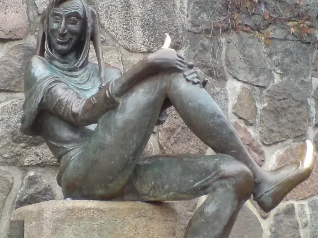
  • Till-Eulenspiegel-Brunnen

    Attraction

  • Museum: Dorf-Museum

    Museum

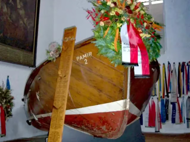
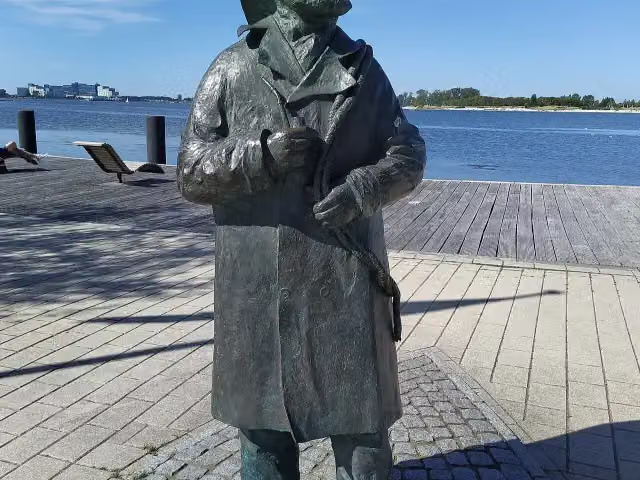
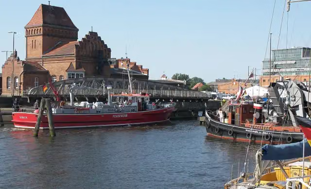
  • International Seafaring Memorial
    i
    Photo: Wikimedia Commons · Wikimedia Commons · CC BY-SA 3.0View the photo on Wikimedia Commons

    Monument

Elevation and terrain

Up
↑ 554 m
Down
↓ 530 m
Highest point
72 m
Lowest point
0 m
  • 5-10% slope · 1 km
  • 5 stairs

Elevation from Copernicus GLO-30 (European Union and ESA), smoothed.

produced using Copernicus WorldDEM-30 © DLR e.V. 2010-2014 and © Airbus Defence and Space GmbH 2014-2018 provided under COPERNICUS by the European Union and ESA; all rights reserved

Way types

208.4 km in total
  • Road: 58.6 km
  • Path: 53.3 km
  • Track: 39.9 km
  • Street: 31.9 km
  • Busy road: 8.6 km
  • Cycleway: 8.4 km
  • Footpath: 7 km
  • Stairs: 5 stairs
  • Unknown: 75 m

Surfaces

208.4 km in total
  • Asphalt: 97.9 km
  • Gravel: 50.3 km
  • Paved: 23 km
  • Unpaved: 14.2 km
  • Natural: 5.4 km
  • Unknown: 17.1 km

About the walking route Jakobsweg Via Scandinavica, Schleswig-Holstein

Updated on 14 November 2026, with data from OpenStreetMap, the AHN and Copernicus.

Where do you walk?

Jakobsweg Via Scandinavica, Schleswig-Holstein is a walking route of 208.4 km that starts in Büchen. It does not end where it starts. You start in Puttgarden and finish in Lauenburg.

How hard is the route?

You climb 554 m in total and descend 530 m. There are 5 flights of steps along the way. Allow ± 47:15 h, without breaks. The level is hard.

What paths do you walk on?

The longest part is road (58.6 km), path (53.3 km) and track (39.9 km). Of the surface, 97.9 km asphalt and 50.3 km gravel. For 17.1 km the surface is not known.

Pitstops along the way

Within 100 metres of the route there are 555 benches, 11 water fountains and refill points, 53 public toilets, 15 bike pumps and 1 honesty box. The Outdoor Pitstop app navigates you there.

Part of Jakobsweg Via Scandinavica

Website of the route

Sights nearby

Within 10 km of the route, best known first.

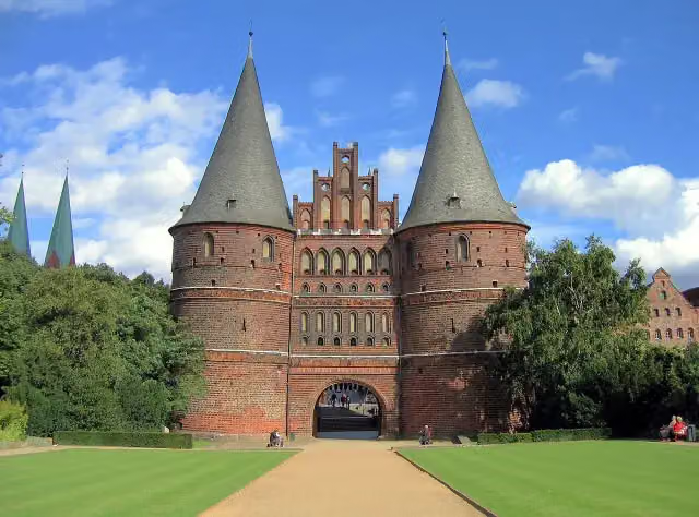
  1. 1Holsten GateHolsten GateAttraction · 360 m from the route
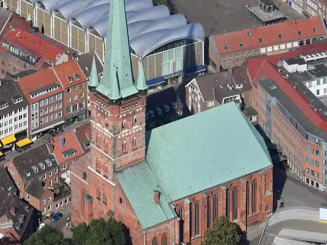
  2. 2St.-Petri Kultur- und UniversitätskircheSt.-Petri Kultur- und UniversitätskircheAttraction · 123 m from the route
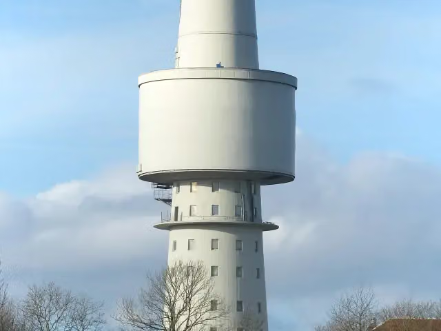
  3. 3OceantowerOceantowerObservation tower · 1.8 km from the route
  4. 4Fischer StuebenFischer StuebenMemorial · 4.2 km from the route
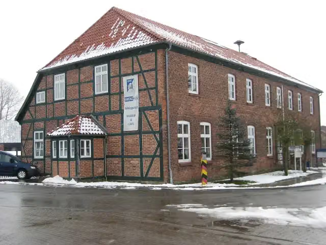
  5. 5Schlagsdorf Border House MuseumSchlagsdorf Border House MuseumMuseum · 5.3 km from the route
  6. 6heruntergestürzte Glockenheruntergestürzte GlockenMemorial · 108 m from the route
  7. 7ErtheneburgErtheneburgArchaeological site · 119 m from the route
  8. 8Maria zum StegelMaria zum StegelRuins · 126 m from the route
  9. 9Museumskirche Sankt KatharinenMuseumskirche Sankt KatharinenMuseum · 154 m from the route
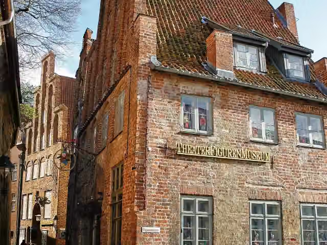
  10. 10TheaterFigurenMuseumTheaterFigurenMuseumMuseum · 174 m from the route
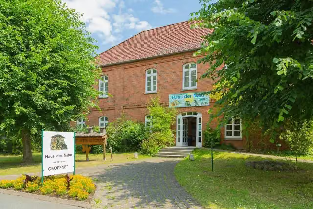
  11. 11Haus der NaturHaus der NaturMuseum · 203 m from the route
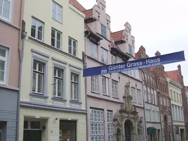
  12. 12Günter-Grass-HausGünter-Grass-HausMuseum · 206 m from the route
  13. 13Haus Hansestadt DanzigHaus Hansestadt DanzigMuseum · 242 m from the route
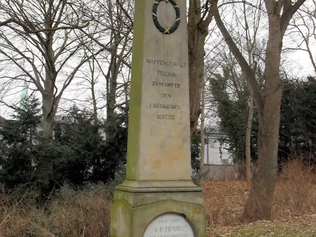
  14. 14Prahl-DenkmalPrahl-DenkmalMemorial · 332 m from the route
  15. 15MemorialMemorialMemorial · 333 m from the route
  16. 16Franz-Joseph von LilienFranz-Joseph von LilienMemorial · 348 m from the route
  17. 17Johannes BrahmsJohannes BrahmsMemorial · 351 m from the route
  18. 18Langbett GroßenbrodeLangbett GroßenbrodeArchaeological site · 363 m from the route
  19. 19Gedenkstein Befreiung 1945Gedenkstein Befreiung 1945Memorial · 383 m from the route
  20. 20MuseumshafenMuseumshafenMuseum · 402 m from the route
  21. 21Burg Farchau, MarienhöheBurg Farchau, MarienhöheArchaeological site · 495 m from the route
  22. 22MemorialMemorialMemorial · 522 m from the route
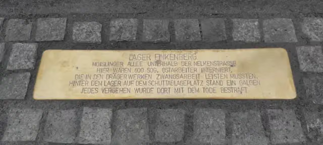
  23. 23Drägerwerk FINKENBERGDrägerwerk FINKENBERGMemorial · 577 m from the route
  24. 24Straßenbahner (1914-1918)Straßenbahner (1914-1918)Memorial · 725 m from the route
  25. 251813 Befreiungskriege1813 BefreiungskriegeMemorial · 762 m from the route

Explore more

Frequently asked questions

How long is Jakobsweg Via Scandinavica, Schleswig-Holstein?

Jakobsweg Via Scandinavica, Schleswig-Holstein is 208.4 km long. Allow ± 47:15 h of walking: 4.5 km an hour and 10 minutes more per 100 metres of climbing, without breaks.

Is this route a circular walk?

No, the route runs from Puttgarden to Lauenburg.

Where does this route start?

The route starts in Büchen.

How hard is this route?

Hard, with 554 m of climbing.

Are there toilets along this route?

Yes, there are 53 public toilets within 100 m of the route.

Can you fill up with water along this route?

Yes, there are 11 water fountains and refill points within 100 m of the route.

What is there to see along this route?

Along the way you pass DLRG Turm 4, DLRG Turm 7 and Geibel-Denkmal.

Can I download this route as a GPX file?

Yes. Sign in with your Outdoor Pitstop account and choose Download GPX at the top of this page: 10 routes a month for free, unlimited with Pro.

Starting point

More routes from this place

Büchen

Route data © OpenStreetMap contributors

The free app

All of Outdoor Pitstop, in your pocket

Find the nearest pitstop, navigate there, listen to audio tours, earn XP and make routes and lists together.

Download on the App StoreGet it on Google Play
How Outdoor Pitstop works →
The map of the app with pitstops nearby
A pitstop in the app, with a photo, a review and Navigate
Your profile in the app, with level and XP