 Outdoor Pitstop
Walking route · Tarifa · Updated on 14 November 2026
European long distance path E9 walk
European long distance path E9 is a walk of 5,897.5 km from Tarifa. Along the way you'll find 13,721 benches, 339 water fountains and refill points, 1,695 public toilets, 74 bike pumps and 12 honesty boxes and farm vending machines.
i
i
i
The route step by step
From start to finish, with what you pass along the way and the distance in between.
- 5,897.5 km
- From A to B
- International route
Pick a stage to see the pitstops per kilometre. Along the way you'll find 13,721 benches, 339 water fountains and refill points, 1,695 public toilets, 74 bike pumps and 12 honesty boxes and farm vending machines.
Follow these steps in the appThe route with the water points, toilets and sights within 100 m of it.
329 sights along the way
In the order you pass them. With the Outdoor Pitstop app you hear their story on the spot. 321 more along the route are on the map.
i
Photo: kallerna · Wikimedia Commons · CC BY-SA 4.0View the photo on Wikimedia CommonsCastle

Archaeological site
i
Photo: Mussklprozz · Wikimedia Commons · CC BY-SA 3.0View the photo on Wikimedia CommonsAttraction
i
Photo: El Pantera · Wikimedia Commons · CC BY-SA 4.0View the photo on Wikimedia CommonsAttraction
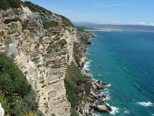
i
Photo: El Pantera · Wikimedia Commons · CC BY-SA 2.5View the photo on Wikimedia CommonsAttraction
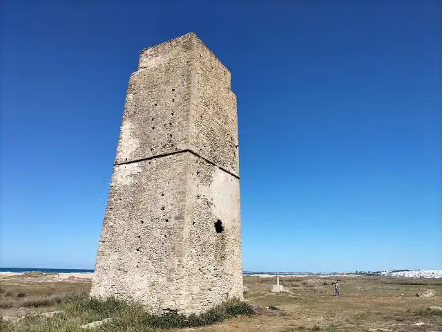
i
Photo: Ibai1984 · Wikimedia Commons · CC BY-SA 4.0View the photo on Wikimedia CommonsObservation tower
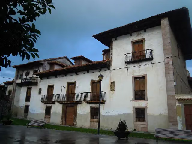
i
Photo: Denissf · Wikimedia Commons · CC BY-SA 3.0View the photo on Wikimedia CommonsMonument
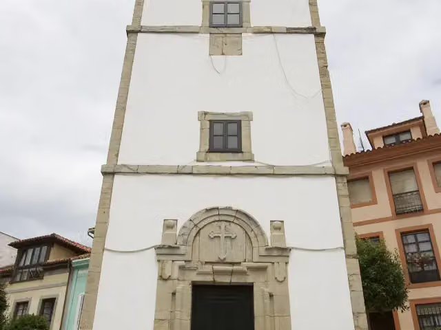
i
Photo: Ramón · Wikimedia Commons · CC BY-SA 2.0View the photo on Wikimedia CommonsObservation tower
Stages (6)
- 1GR 145 Sendero Europeo Arco Atlantico81.6 km
- 2part Spain214.3 km
- 3Chemin de randonnée Européen E9, France4,165.9 km
- 4Stage B-NL2.3 km
- 5Europese wandelroute E9, NederlandEuropean long distance path E9 - part Netherlands3.6 km
- 6European long distance path E9 / International coastal route - part Germany1,429.7 km
About the walking route European long distance path E9
Updated on 14 November 2026, with data from OpenStreetMap, the AHN and Copernicus.
Where do you walk?
European long distance path E9 is a walking route of 5,897.5 km that starts in Tarifa. It does not end where it starts.
Pitstops along the way
Within 100 metres of the route there are 13,721 benches, 339 water fountains and refill points, 1,695 public toilets, 74 bike pumps and 12 honesty boxes and farm vending machines. The Outdoor Pitstop app navigates you there.
Sights nearby
Within 10 km of the route, best known first.
- 1
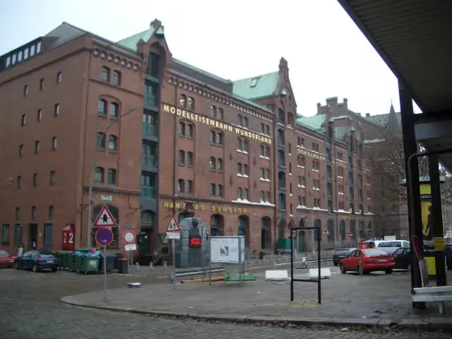 Miniature WonderlandAttraction · 1.2 km from the route
- 2
 Elbe Philharmonic HallAttraction · 1 km from the route
- 3
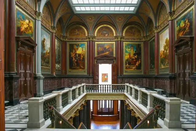 Hamburger KunsthalleMuseum · 277 m from the route
- 4
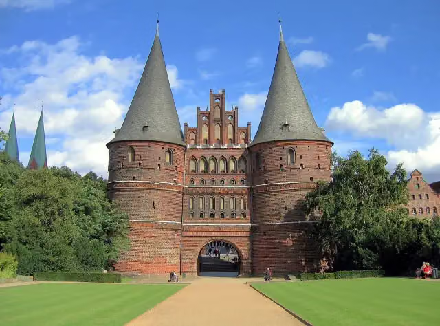 Holsten GateAttraction · 1.8 km from the route
- 5
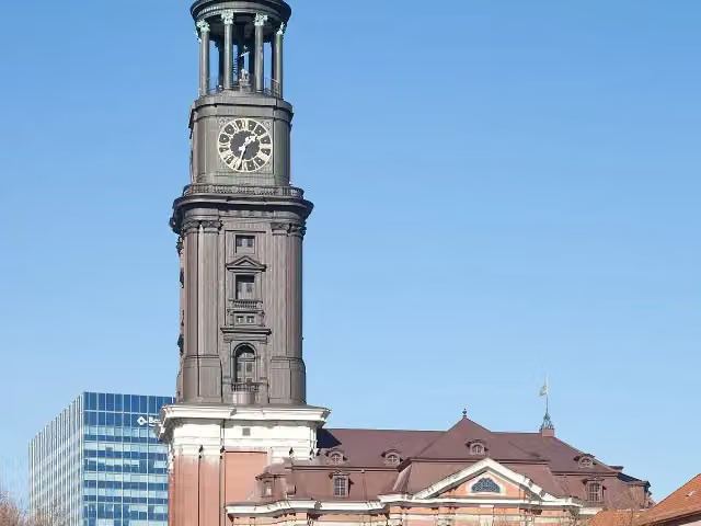 Church of St. MichaelAttraction · 374 m from the route
- 6
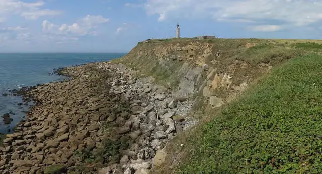 Cap Gris-NezAttraction · 399 m from the route
- 7
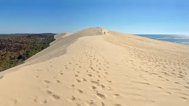 Dune of PilatViewpoint · 8.9 km from the route
- 8
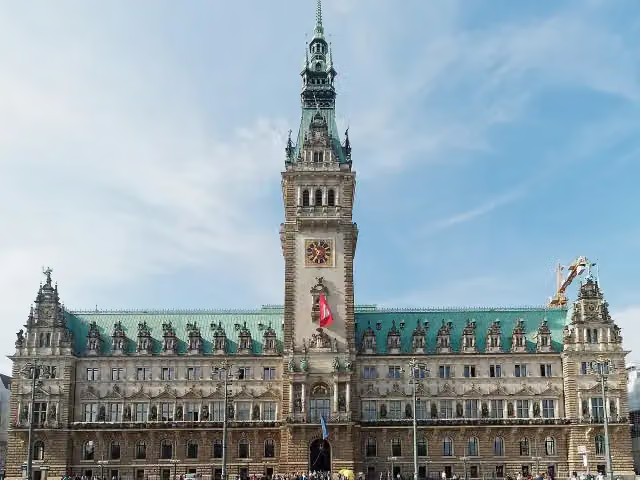 RathausAttraction · 834 m from the route
- 9
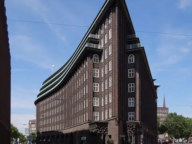 Chilehaus HamburgAttraction · 991 m from the route
- 10
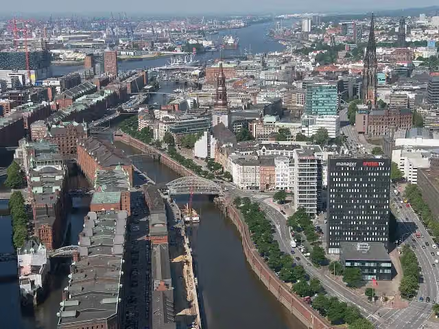 SpeicherstadtAttraction · 1 km from the route
- 11
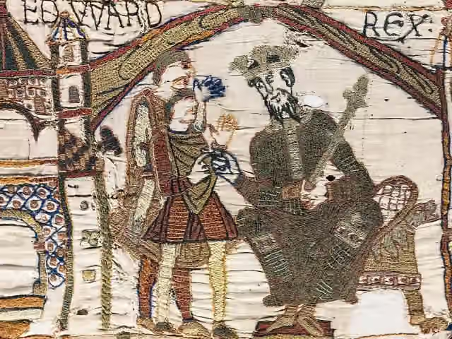 Musée de la Tapisserie de BayeuxMuseum · 6.7 km from the route
- 12
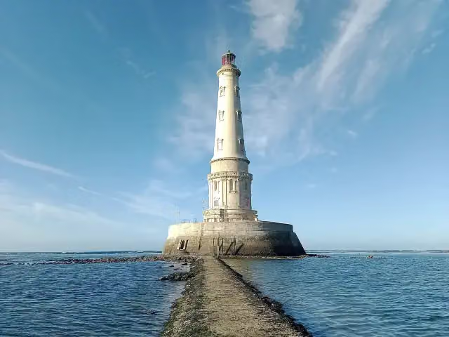 Phare de CordouanAttraction · 8.1 km from the route
- 13
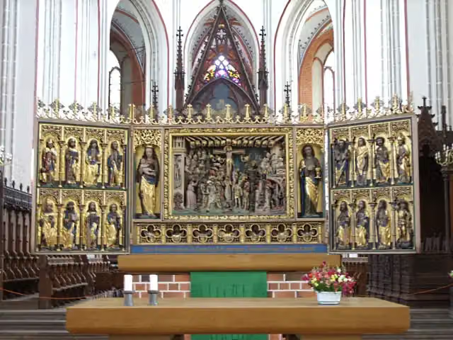 Schwerin CathedralAttraction · 413 m from the route
- 14
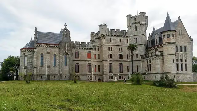 Château-Observatoire AbbadiaAttraction · 2 km from the route
- 15
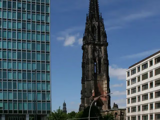 St. Nikolai MuseumMuseum · 1.1 km from the route
- 16
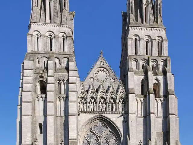 Cathédrale Notre-Dame-de-l'AssomptionAttraction · 6.5 km from the route
- 17
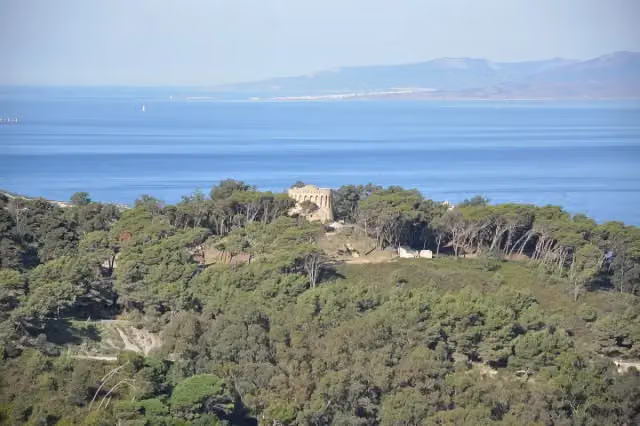 Punta de Tarifa - Southernmost continental point of EuropeAttraction · 1.1 km from the route
- 18
 Mont Saint-MichelAttraction · 122 m from the route
- 19
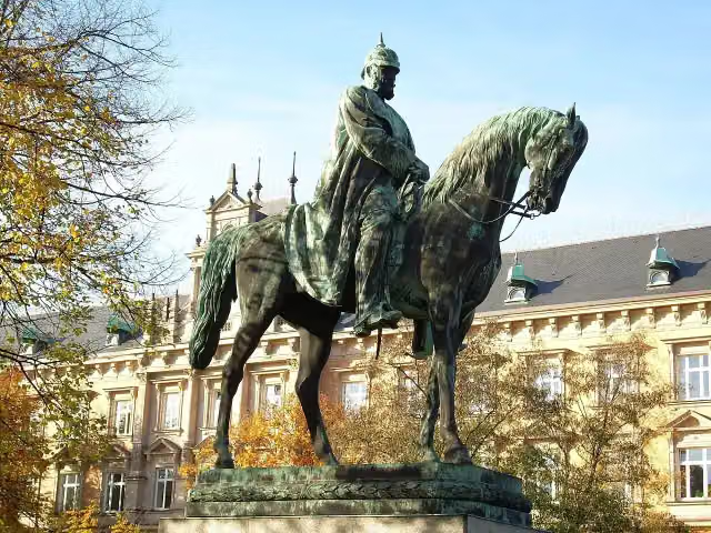 Planten un BlomenAttraction · 150 m from the route
- 20
 Wappen FC St. PauliMemorial · 403 m from the route
- 21
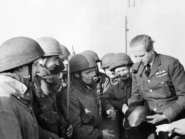 Mémorial de BrunevalMemorial · 3.6 km from the route
- 22
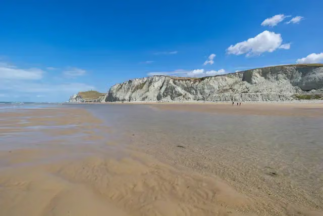 Cap Blanc-NezAttraction · 188 m from the route
- 23
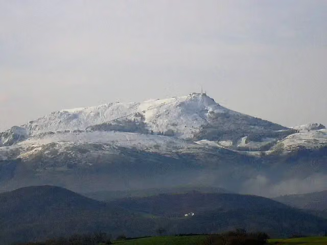 LarhunAttraction · 827 m from the route
- 24
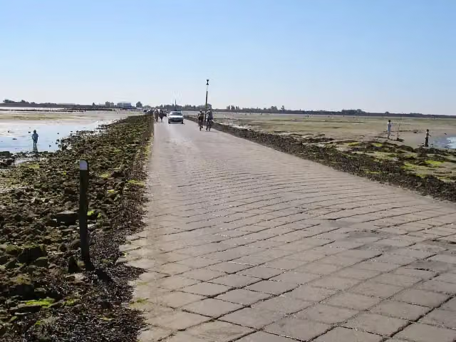 Le Passage du GoisAttraction · 4.9 km from the route
- 25
 Normandy American Cemetery and MemorialMemorial · 115 m from the route
Explore more
Frequently asked questions
How long is European long distance path E9?
European long distance path E9 is 5,897.5 km long, split into several parts and stages.
Is this route a circular walk?
No, the route starts and ends at different spots.
Where does this route start?
The route starts in Tarifa.
Are there toilets along this route?
Yes, there are 1,695 public toilets within 100 m of the route.
Can you fill up with water along this route?
Yes, there are 339 water fountains and refill points within 100 m of the route.
What is there to see along this route?
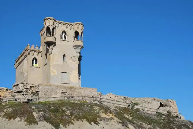
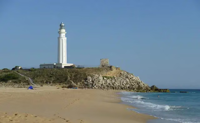
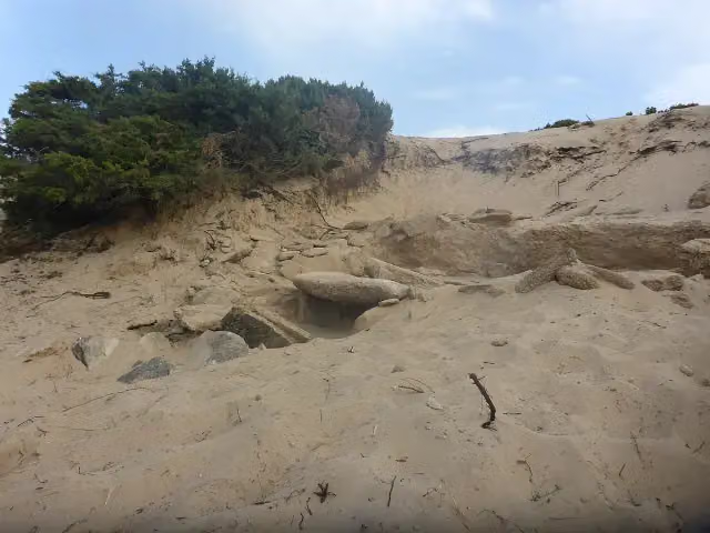
Along the way you pass Castillo de Santa Catalina, Peña Sacra de Ranchiles and Faro de Trafalgar.
Can I download this route as a GPX file?
Yes. Sign in with your Outdoor Pitstop account and choose Download GPX at the top of this page: 10 routes a month for free, unlimited with Pro.
Starting point
More routes from this place
Route data © OpenStreetMap contributors





