 Outdoor Pitstop
Walking route · Sluis · European long distance path E9 - part Netherlands · Updated on 6 November 2026
Europese wandelroute E9, Nederland
Europese wandelroute E9, Nederland is a walk of 684.3 km from Sluis. Along the way you'll find 28 benches and picnic tables and 8 public toilets.
The route step by step
From start to finish, with what you pass along the way and the distance in between.
- 684.3 km
- From A to B
- International route
Pick a stage to see the pitstops per kilometre. Along the way you'll find 28 benches and picnic tables and 8 public toilets.
Follow these steps in the appThe route with the water points, toilets and sights within 100 m of it.
Stages (1)
About the walking route Europese wandelroute E9, Nederland
Updated on 6 November 2026, with data from OpenStreetMap and the AHN.
Where do you walk?
Europese wandelroute E9, Nederland is a walking route of 684.3 km that starts in Sluis. It does not end where it starts.
Pitstops along the way
Within 100 metres of the route there are 28 benches and picnic tables and 8 public toilets. The Outdoor Pitstop app navigates you there.
Part of European long distance path E9
Website of the routeWalks nearby
6- Nederlands Kustpad deel 1 - 1Moderate · From A to B14.1 km
- Nederlands Kustpad deel 1 - 01 - E9Easy · From A to B3.6 km
- European long distance path E9 - B-NLEasy · From A to B2.3 km
- Nederlands Kustpad deel 1 - 2Hard · From A to B36.3 km
- GR 129 Dwars door België | VlaanderenEasy · From A to B5 km
- Via BrugensisEasy · From A to B2 km
Sights nearby
Within 10 km of the route, best known first.
- 1
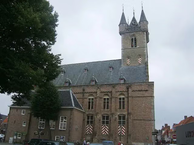 BelfortMuseum · 5.9 km from the route
- 2
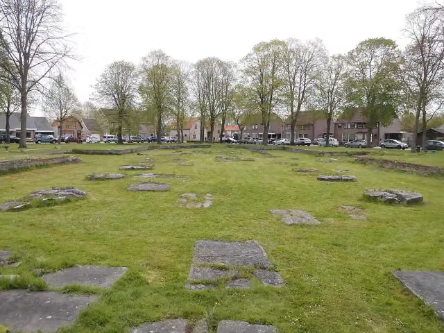 Sint-JanskerkRuins · 5.7 km from the route
- 3
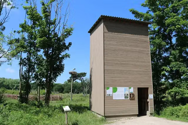 OoievaarstorenObservation tower · 1.7 km from the route
- 4
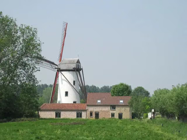 HoekemolenAttraction · 7.7 km from the route
- 5
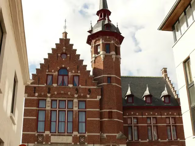 HEYMuseum · 9.4 km from the route
- 6
 BordeelschansArchaeological site · 7.7 km from the route
- 7KruisdijkschansFort · 8.8 km from the route
Explore more
Frequently asked questions
How long is Europese wandelroute E9, Nederland?
Europese wandelroute E9, Nederland is 684.3 km long, split into several parts and stages.
Is this route a circular walk?
No, the route starts and ends at different spots.
Where does this route start?
The route starts in Sluis.
Are there toilets along this route?
Yes, there are 8 public toilets within 100 m of the route.
Can you fill up with water along this route?
No, there is no water point within 100 m of the route. Bring enough water.
Starting point
More routes from this place
Route data © OpenStreetMap contributors





