 Outdoor Pitstop
Walking route · Stichtse Vecht · Updated on 14 November 2026
Klompenpad Zoddenpad walk
Klompenpad Zoddenpad is a walk of 13.3 km from Stichtse Vecht that starts and ends at the same spot. Along the way you'll find 17 benches and 1 public toilet.
i
The route step by step
From start to finish, with what you pass along the way and the distance in between.
- 13.3 km
- ± 2:55 h
- ↑ 0 m · ↓ 0 m
- Moderate
- Circular walk
- Local route
This route is in pieces in OpenStreetMap, so there are no kilometres per pitstop. Along the way you'll find 17 benches and 1 public toilet.
Follow these steps in the appThe route with the pitstops and sights within 100 m of it.
2 sights along the way
In the order you pass them. With the Outdoor Pitstop app you hear their story on the spot.

Observation tower
i
Photo: Efraa-marlies · Wikimedia Commons · CC BY-SA 3.0 nlView the photo on Wikimedia CommonsMuseum
Elevation and terrain
- Up
- ↑ 0 m
- Down
- ↓ 0 m
- Highest point
- 0 m
- Lowest point
- -1 m
Nowhere steeper than 5%.
Elevation from AHN (Rijkswaterstaat), smoothed.
Way types
13.3 km in total- Track: 6.4 km
- Road: 3.7 km
- Path: 2.7 km
- Street: 428 m
Surfaces
13.3 km in total- Natural: 4 km
- Gravel: 2.2 km
- Unpaved: 1.6 km
- Paved: 1.1 km
- Asphalt: 525 m
- Unknown: 3.8 km
About the walking route Klompenpad Zoddenpad
Updated on 14 November 2026, with data from OpenStreetMap, the AHN and Copernicus.
Where do you walk?
Klompenpad Zoddenpad is a circular walk of 13.3 km from Stichtse Vecht: it starts and ends in the same place.
How hard is the route?
The route is almost flat. You climb 0 m in total and descend 0 m. Allow ± 2:55 h, without breaks. The level is moderate.
What paths do you walk on?
The longest part is track (6.4 km), road (3.7 km) and path (2.7 km). Of the surface, 4 km natural and 2.2 km gravel. For 3.8 km the surface is not known.
Pitstops along the way
Within 100 metres of the route there are 17 benches and 1 public toilet. The Outdoor Pitstop app navigates you there.
Zoddenpad: a local 13 km walking route
The Klompenpad Zoddenpad is a local walking route of 13 km. It is a circular route, so you start and finish in the same place. There is no need to worry about the return journey or about getting back from somewhere else. This page shows the map of the route, so you know where you will be walking. The elevation profile shows how the route changes over the 13 km. You will also find the pitstops along the way, including public toilets, drinking water and benches. That way you can decide in advance where you would like to stop for a rest or to refill your bottle. If you plan to walk the route, the Klompenpad Zoddenpad page gives you all of this information to help you get started.
Surface and type of path along the way
The walk is 13 km long. Almost half of it, 49%, runs along a field track or forest track. Another 28% follows a regular road, and 20% a footpath. So only a small part of the route is on narrow paths. The surface changes too. Most of it, 43%, is natural ground. You also walk 23% on gravel and 17% on unpaved terrain, which together make up the largest part of the route. A smaller share is paved (11%) or asphalt (6%). For that reason, wear shoes with a good tread, as the ground is not firm and level everywhere.
Pit stops and points of interest along the way
Along the route you pass 1 public toilet and 17 benches, so you can stop in several places to rest, have something to eat or drink. The toilet is only in one spot, so decide beforehand whether you want to stop there. The route also takes you past a lookout tower and a museum. At the lookout tower you can climb up and look out over the surroundings. The Streekmuseum Vredegoed is a museum, so it is a good place to combine a break with a visit. You can see both on the map, so you know where you will come across them.
Walks nearby
6Sights nearby
Within 10 km of the route, best known first.
- 1
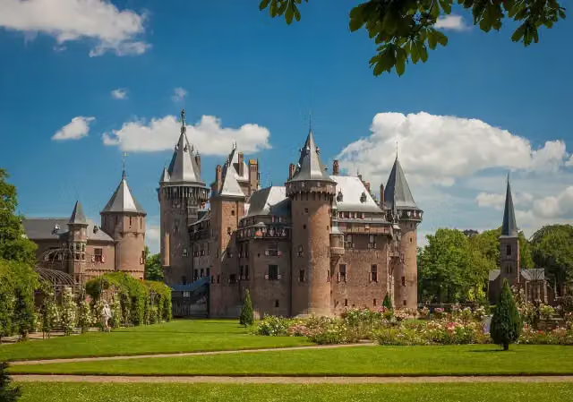 Kasteel de HaarAttraction · 8.2 km from the route
- 2
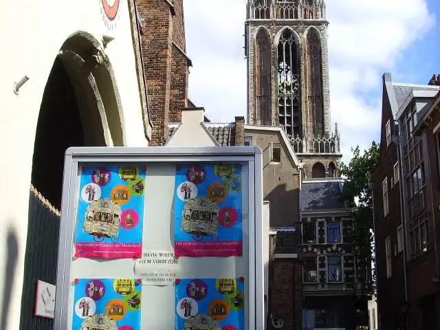 Museum SpeelklokMuseum · 7.2 km from the route
- 3
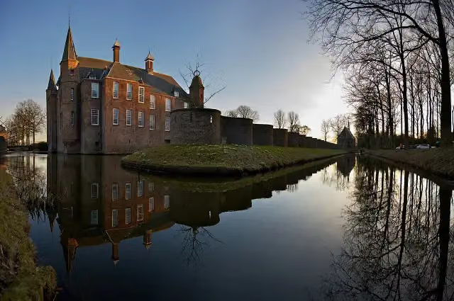 Slot ZuylenCastle · 3.4 km from the route
- 4
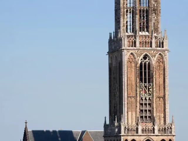 Dom towerAttraction · 7.2 km from the route
- 5
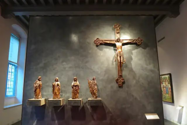 Museum CatharijneconventMuseum · 7.6 km from the route
- 6
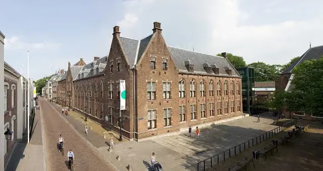 Centraal MuseumMuseum · 8 km from the route
- 7
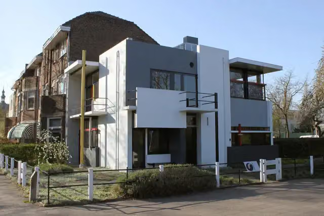 Rietveld-SchröderhuisMuseum · 8.1 km from the route
- 8
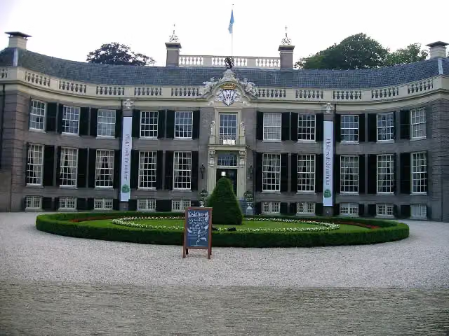 Kasteel GroeneveldMuseum · 8.9 km from the route
- 9
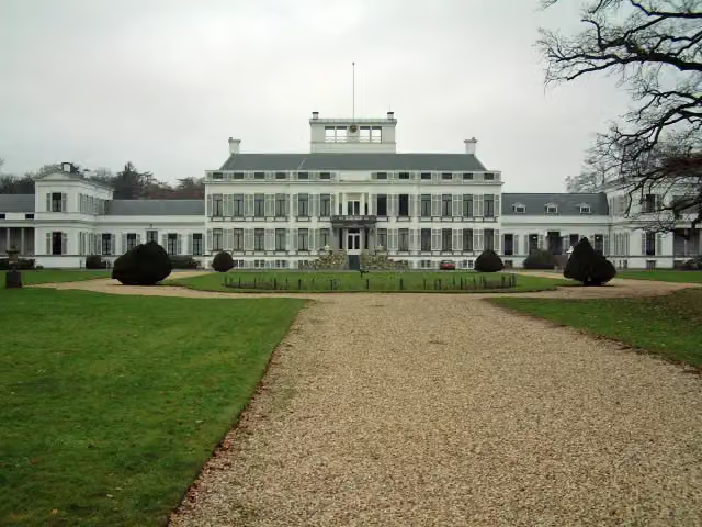 Paleis SoestdijkAttraction · 9.5 km from the route
- 10
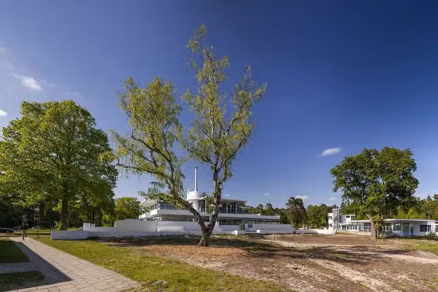 ZonnestraalAttraction · 2.4 km from the route
- 11
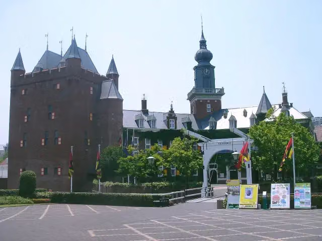 Kasteel NijenrodeCastle · 5.7 km from the route
- 12
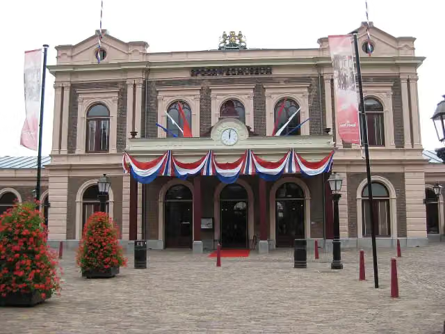 SpoorwegmuseumMuseum · 7.7 km from the route
- 13
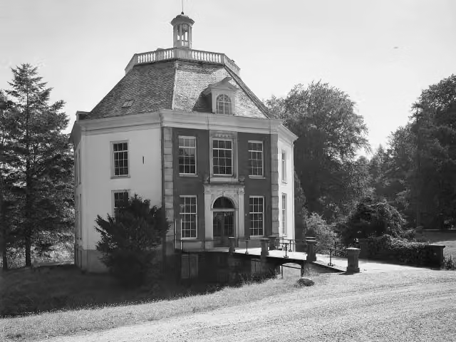 DrakensteynCastle · 5.9 km from the route
- 14
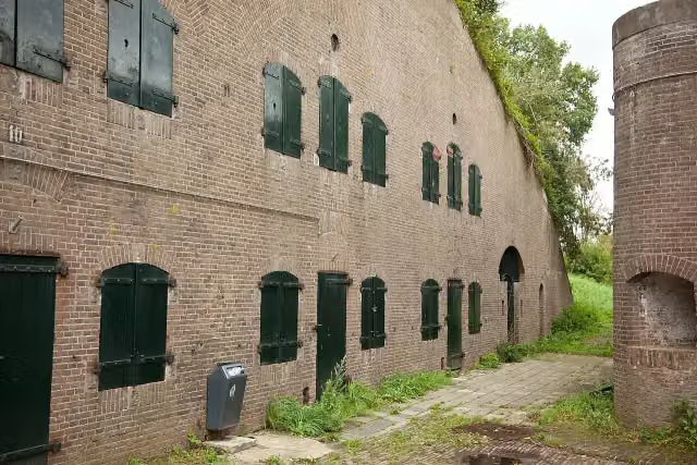 Fort De GagelFort · 2.8 km from the route
- 15
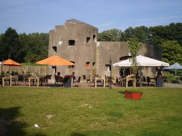 Fort aan de KlopFort · 3.9 km from the route
- 16
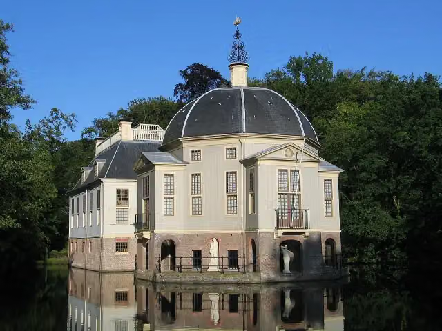 TrompenburghCastle · 5.7 km from the route
- 17
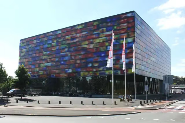 Beeld & GeluidMuseum · 6.6 km from the route
- 18
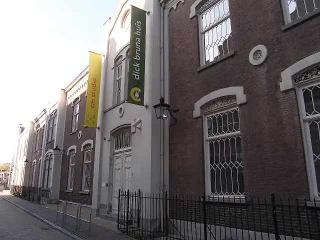 Miffy MuseumMuseum · 8 km from the route
- 19
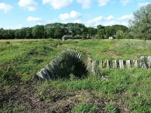 Fort RuigenhoekFort · 3.1 km from the route
- 20
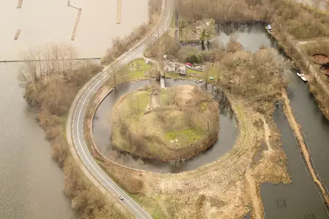 Fort SpionFort · 4.4 km from the route
- 21
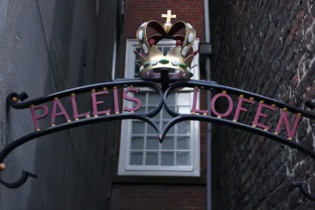 Paleis LofenCastle · 7.2 km from the route
- 22
 De InktpotAttraction · 7.6 km from the route
- 23
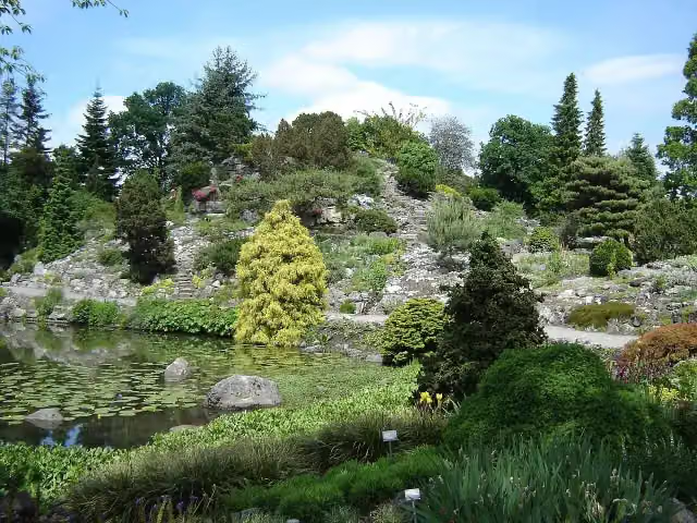 Botanische Tuinen Universiteit UtrechtAttraction · 8.4 km from the route
- 24
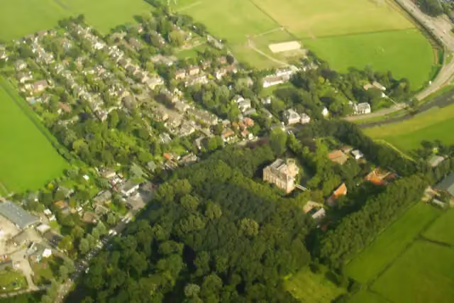 Kasteel LoenerslootMuseum · 8.9 km from the route
- 25
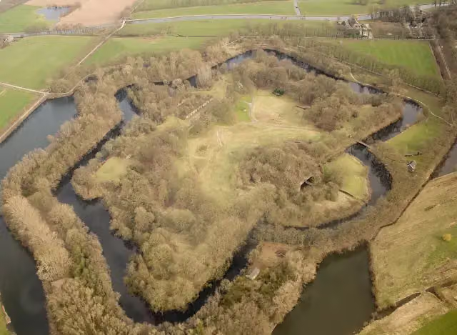 Fort bij RijnauwenFort · 9.9 km from the route
Explore more
Frequently asked questions
How long is the Zoddenpad klompenpad walk?
The Zoddenpad is 13 km long. It is a local walking route.
Is the Zoddenpad klompenpad walk a circular route?
Yes, the Zoddenpad is a circular route, so you start and finish in the same place.
How many benches and toilets are there along the Zoddenpad klompenpad walk?
There are 17 benches along the Zoddenpad and 1 public toilet.
What kind of surface does the Zoddenpad klompenpad walk have?
Most of the route, 43%, has a natural surface. In addition, 23% is gravel, 17% unpaved, 11% paved and 6% asphalt.
What points of interest can you come across on the Zoddenpad klompenpad walk?
Along the route you will find a lookout tower and Streekmuseum Vredegoed.
What types of roads does the Zoddenpad klompenpad walk follow?
Almost half of the route, 49%, follows a field track or forest track. The rest is 28% road and 20% path.
Starting point
More routes from this place
Route data © OpenStreetMap contributors





