 Outdoor Pitstop
Cycle route · Tuttlingen · Updated on 14 November 2026
D-Route 6 - Donauroute cycle route
D-Route 6 - Donauroute is a cycle route of 745.5 km from Tuttlingen. Along the way you'll find 1,337 benches, 56 water fountains and refill points, 71 public toilets, 17 bike pumps and 1 honesty box.
i
i
i
The route step by step
From start to finish, with what you pass along the way and the distance in between.
- 745.5 km
- ± 9:55 h per stage
- Hard per stage
- From A to B
- National route
Start in Tuttlingen
0 km194.8 km
Bike pump
194.8 km2.3 km · 6 benches
Water point
197.1 km5 km · 6 benches
Water point
202.1 km26.1 km · 92 benches
Public toilet
228.2 km745 m · 4 benches
4 public toilets and 3 water fountains and refill points
228.9 km152 m
Water point
229.1 km9 km · 14 benches

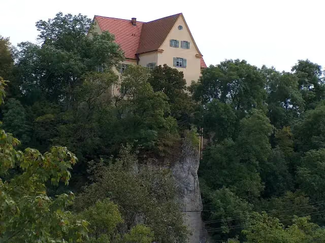
Schloß Gutenstein
238.1 kmCastle
555 m · bench
Water point, bike pump and honesty box
238.6 km348 m · 4 benches
Public toilet and water point
239 km895 m · bench
Public toilet
239.9 km611 m · bench
Public toilet
240.5 km658 m · bench
Public toilet
241.2 km1.2 km · bench
Public toilet
242.3 km2.9 km · bench
Fürstliche Anlagen Inzigkofen
245.3 kmPublic toilet
1.9 km · 19 benches
Water point and bike pump
247.1 km869 m · 17 benches
Observation tower
248 kmObservation tower
429 m · 6 benches
Public toilet
248.4 km444 m · 12 benches
2 public toilets
248.9 km154 m
Public toilet
249 km321 m · 10 benches
Bike pump
249.3 km483 m · 13 benches
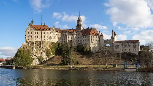
Schloss Sigmaringen
249.8 km2 public toilets
5.7 km · 15 benches
Public toilet
255.5 km2.9 km · 6 benches
Schloß Scheer
258.4 kmCastle
6.3 km · 11 benches
Bike pump
264.7 km12 km · 2 benches
Public toilet
276.8 km6.8 km · 15 benches
Public toilet and water point
283.6 km1.5 km · 6 benches
2 public toilets
285.2 km683 m · bench
Gedenkstein für Johann Gottlieb Aberle, Hermann Eugen Schlotterbeck und Andreas Stadler in Riedlingen
285.9 kmMemorial
7.6 km · 10 benches
Zwiefaltendorfer Tropfsteinhöhle and 1 more
293.4 kmSchloss Zwiefaltendorf
Show the other 99 steps
1.5 km
Water point
294.9 km4.5 km · bench
Burg Rechtenstein
299.4 kmCastle
9 km · 7 benches
Public toilet
308.4 km517 m · 6 benches
Public toilet
308.9 km12.8 km · 31 benches
Public toilet, water point and bike pump
321.8 km204 m · bench
Public toilet
322 km364 m · bench
Wolfertturm
322.3 kmWater point
25.4 km · 43 benches
Bike pump
347.7 km3 km · 3 benches
Water point
350.7 km3.7 km · 27 benches
Obere Stadtkehle (Werk XXVII) and 1 more
354.4 kmOberer Donauturm (Werk XXVIII)
598 m · 19 benches
Metzgerturm
355 kmAttraction
348 m · 35 benches
Haus der Begegnung
355.4 kmAttraction
182 m · 27 benches
Max-Eyth-Denkmal and 1 more
355.6 kmBerblinger-Turm
480 m · 35 benches
Untere Stadtkehle (Werk XXVI) and 2 more
356 kmUnterer Donauturm (Werk XXV) and Untere Donaubastion (Werk XXIV)
699 m · 15 benches
Public toilet
356.7 km821 m · 20 benches
Public toilet
357.6 km548 m · 7 benches
Public toilet
358.1 km4.8 km · 21 benches
Water point
363 km29.7 km · 20 benches
Public toilet
392.6 km4.5 km · 3 benches
Public toilet
397.1 km294 m
Sudetendeutsche Heimatstube
397.4 kmMuseum
3.5 km · 5 benches
Apollo-Grannus-Tempel
400.9 kmPublic toilet
2.2 km · 15 benches
Public toilet
403.1 km5.3 km · 18 benches
Studienkirche Mariä Himmelfahrt
408.5 kmAttraction
170 m
Stadt- und Hochstiftmuseum and 1 more
408.6 kmZeugnisse klösterlichen Lebens, public toilet and 3 water fountains and refill points
1.3 km · 6 benches
Water point
409.9 km8 km · 6 benches
Heimatmuseum
417.9 kmPublic toilet
217 m · 7 benches
Water point
418.2 km238 m · bench
Schloss Höchstädt
418.4 kmCastle
7.9 km · 2 benches
Water point
426.3 km19.1 km · 4 benches
Local Museum and 2 more
445.4 kmRieder Tor, Museum of Town History and water point
161 m · 8 benches
Water point
445.6 km480 m · 17 benches
Public toilet
446.1 km5.3 km
Public toilet
451.3 km3 km
Water point
454.3 km1.1 km
Schloss Leitheim
455.4 kmWater point
17.9 km · 7 benches
Schloss Stepperg
473.2 kmWater point
10.1 km · 8 benches
Schlossmuseum
483.3 kmMuseum
266 m · 5 benches
Water point
483.6 km223 m · bench
Public toilet
483.8 km7 km · 6 benches
Jagdschloss Grünau
490.8 kmAttraction
16.2 km · 6 benches
Bike pump
507 km654 m · 3 benches
Public toilet
507.7 km418 m · 10 benches
Deutsches Medizinhistorisches Museum and 1 more
508.1 kmGerman Museum for the History of Medicine
173 m · 4 benches
Public toilet
508.2 km249 m · 5 benches
Liebfrauenmunster
508.5 kmPublic toilet and bike pump
269 m · 9 benches
4 water fountains and refill points
508.8 km221 m · 11 benches
Pfeifturm
509 km2 public toilets
162 m · 33 benches
Herzogskasten
509.1 km2 public toilets, 3 water fountains and refill points and 2 bike pumps
153 m · 20 benches
Public toilet
509.3 km358 m · 44 benches
Public toilet
509.7 km184 m · 3 benches
Bayerisches Armeemuseum and 1 more
509.8 kmNeues Schloss
1.7 km · 21 benches
Bike pump
511.5 km19.4 km · 9 benches
Schloss Wackerstein
530.9 kmCastle
2.9 km · 3 benches
Public toilet
533.8 km5.7 km · bench
Bike pump
539.5 km1.8 km · 4 benches
Public toilet
541.3 km1.5 km
Römisches Museum für Kur- und Badewesen
542.8 kmMuseum
4.4 km
Public toilet and water point
547.2 km14.5 km · 12 benches
Public toilet
561.7 km1.6 km · 3 benches
König-Maximilan-Denkmal
563.3 kmMemorial
253 m · 2 benches
Archäologisches Museum
563.5 kmPublic toilet and water point
157 m
Water point
563.7 km4.1 km · 18 benches
Water point
567.8 km2.4 km · 3 benches
Water point
570.2 km9.8 km · 12 benches
Water point
580 km742 m
Public toilet
580.7 km587 m
Water point
581.3 km1.6 km · 5 benches
Water point
582.9 km13.7 km · 22 benches
Water point
596.6 km1.1 km · 8 benches
Water point
597.8 km3 km · 28 benches
document Kepler and 1 more
600.8 kmOld Town Hall
237 m · 3 benches
Goliathhaus and 2 more
601 kmBrückenturm-Museum and Porta praetoria
267 m · 14 benches
Donau-Schiffahrts-Museum Regensburg and 1 more
601.3 kmMuseum der Bayerischen Geschichte
268 m · 12 benches
2 public toilets
601.5 km517 m · 13 benches
Water point
602.1 km1.8 km · 21 benches
Schloss Weichs
603.9 kmCastle
7.9 km · 22 benches
Chinesischer Turm
611.7 kmAttraction
39 km · 34 benches
Bike pump
650.8 km355 m · 18 benches
Stadtturm
651.1 km2 public toilets
293 m · 11 benches
Public toilet
651.4 km382 m
Herzogsschloss
651.8 kmCastle
5.4 km · 6 benches
Water point
657.2 km5 km · 12 benches
Public toilet
662.2 km952 m · 5 benches
Public toilet
663.1 km13.3 km · 6 benches
Water point
676.4 km8.7 km · 4 benches
Water point
685.1 km3.1 km · 13 benches
2 water fountains and refill points and bike pump
688.2 km233 m · 3 benches
2 public toilets and water point
688.5 km493 m · 23 benches
Public toilet and water point
689 km236 m · 9 benches
Public toilet and water point
689.2 km2.6 km · 29 benches
Water point
691.8 km7.4 km · 19 benches
Public toilet
699.2 km11.5 km · 10 benches
Public toilet
710.7 km10.5 km · 11 benches
Public toilet, 2 water fountains and refill points and bike pump
721.2 km19.4 km · 18 benches
Bike pump
740.6 km3.7 km
Public toilet
744.4 km540 m
2 public toilets
744.9 km562 m · 9 benches
Finish
745.5 kmAt the finish: public toilet.
Longest stretch without a toilet: 228.2 kmBetween 0 km and 228.2 km there is no public toilet within 100 m of the route.
The route with the water points, toilets and sights within 100 m of it.
55 sights along the way
In the order you pass them. With the Outdoor Pitstop app you hear their story on the spot. 47 more along the route are on the map.
i
Photo: Roland Nonnenmacher 71579 Spiegelberg · Wikimedia Commons · CC BY-SA 3.0View the photo on Wikimedia CommonsCastle · after 238.1 km
i
Photo: Zollernalb · Wikimedia Commons · CC BY-SA 4.0View the photo on Wikimedia CommonsAttraction · after 245.4 km

Observation tower · after 248 km
- Audio story · 2 min
i
Photo: Jörg Braukmann · Wikimedia Commons · CC BY-SA 4.0View the photo on Wikimedia CommonsSchloss Sigmaringen
Attraction · after 249.9 km
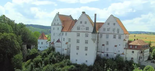
i
Photo: Roland Nonnenmacher · Wikimedia Commons · AttributionView the photo on Wikimedia CommonsCastle · after 258.4 km
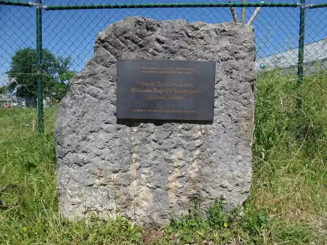
i
Photo: Reutlingendorf · Wikimedia Commons · CC BY-SA 4.0View the photo on Wikimedia CommonsMemorial · after 285.9 km
Attraction · after 293.4 km
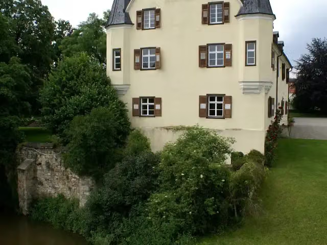
i
Photo: Dr. Eugen Lehle · Wikimedia Commons · CC BY-SA 3.0View the photo on Wikimedia CommonsCastle · after 293.5 km
Stages (5)
Elevation and terrain
Way types
745.5 km in total- Track: 195.1 km
- Path: 130.5 km
- Street: 96.2 km
- Road: 80.5 km
- Cycle path: 30.8 km
- Busy road: 12.6 km
- Footpath (walk your bike): 3.6 km
Surfaces
745.5 km in total- Asphalt: 383.4 km
- Gravel: 126.8 km
- Paved: 15.8 km
- Unpaved: 1 km
- Unknown: 22.4 km
About the cycle route D-Route 6 - Donauroute
Updated on 14 November 2026, with data from OpenStreetMap, the AHN and Copernicus.
Where do you cycle?
D-Route 6 - Donauroute is a cycle route of 745.5 km that starts in Tuttlingen. It does not end where it starts. Along the way you pass Schloß Gutenstein (after 238.1 km), Fürstliche Anlagen Inzigkofen (after 245.4 km) and Observation tower (after 248 km).
How hard is the route?
Allow ± 9:55 h per stage, without breaks. Per stage the level is hard.
What roads do you cycle on?
The longest part is track (195.1 km), path (130.5 km) and street (96.2 km). Of the surface, 383.4 km asphalt and 126.8 km gravel. For 22.4 km the surface is not known.
Pitstops along the way
Within 100 metres of the route there are 1,337 benches, 56 water fountains and refill points, 71 public toilets, 17 bike pumps and 1 honesty box. The longest stretch without a toilet is 228.2 km. The Outdoor Pitstop app navigates you there.
Cycle routes nearby
3Sights nearby
Within 10 km of the route, best known first.
- 1
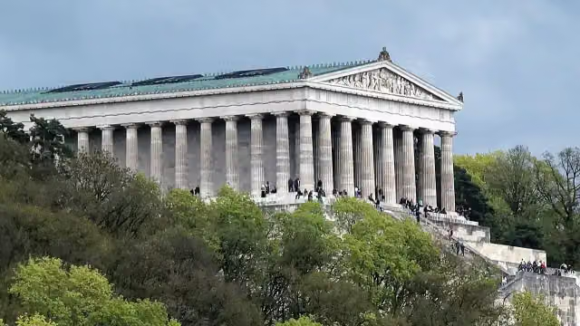 WalhallaAttraction · 231 m from the route
- 2
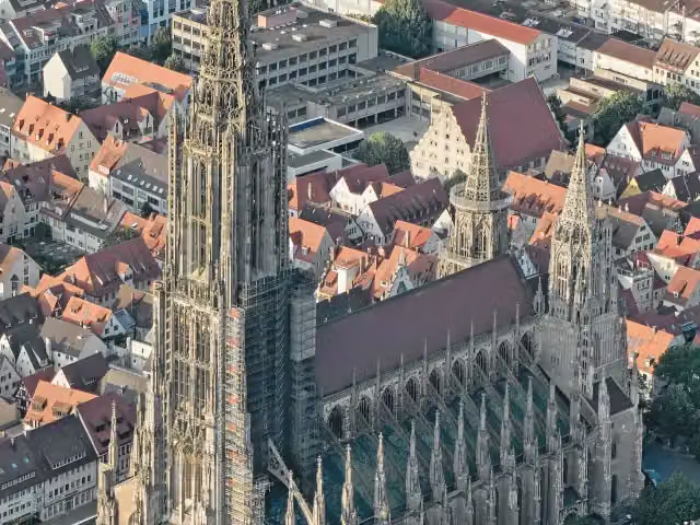 Ulm MinsterAttraction · 328 m from the route
- 3
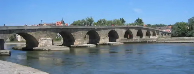 Steinerne BrückeAttraction · 197 m from the route
- 4
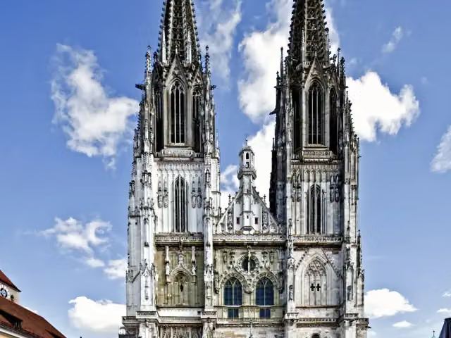 Saint Peter's CathedralAttraction · 142 m from the route
- 5
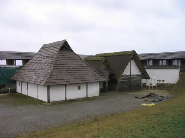 Freilichtmuseum HeuneburgMuseum · 628 m from the route
- 6
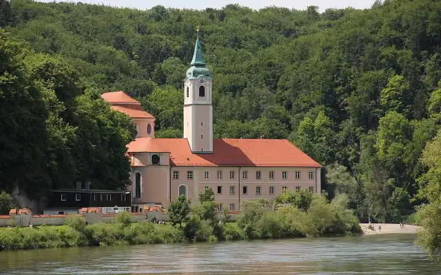 Kloster WeltenburgAttraction · 670 m from the route
- 7
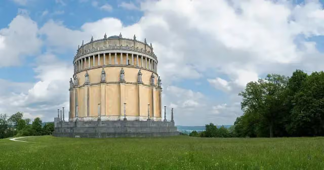 Hall of LiberationAttraction · 686 m from the route
- 8
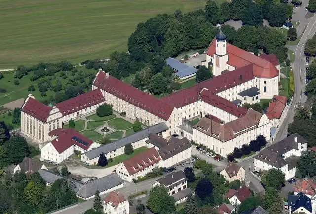 Kloster BeuronAttraction · 188 m from the route
- 9
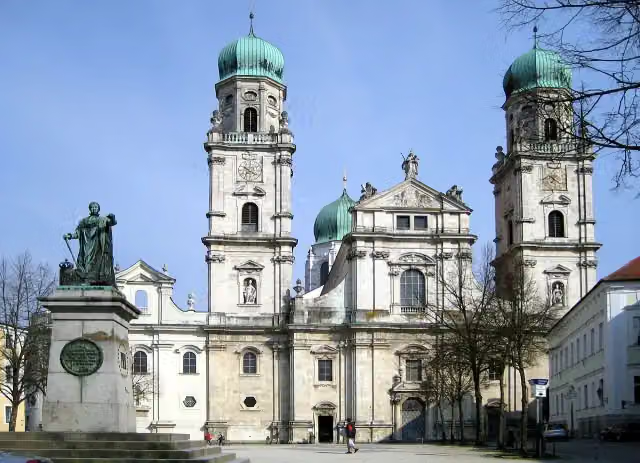 St. Stephen's CathedralAttraction · 446 m from the route
- 10
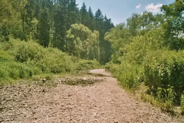 DonauversinkungAttraction · 7.8 km from the route
- 11
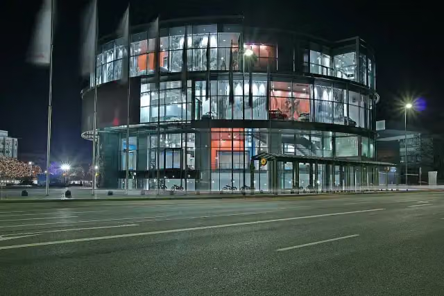 Museum MobileMuseum · 2.1 km from the route
- 12
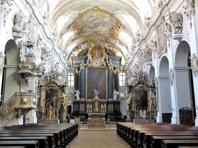 Basilica Sankt EmmeramAttraction · 646 m from the route
- 13
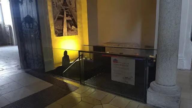 document NiedermünsterAttraction · 109 m from the route
- 14
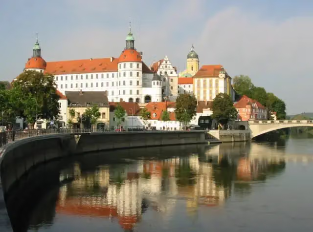 Schloss NeuburgCastle · 111 m from the route
- 15
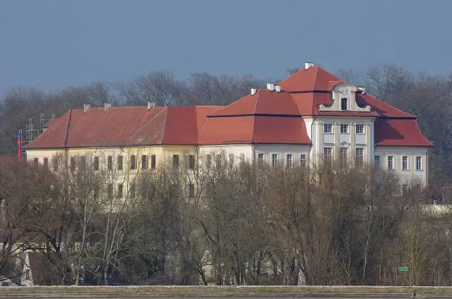 Schloss BertoldsheimCastle · 120 m from the route
- 16
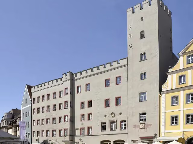 Goldenes KreuzAttraction · 145 m from the route
- 17
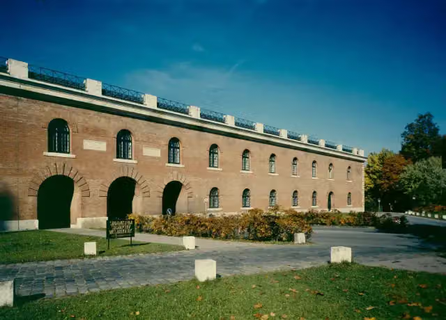 Ingolstadt City MuseumMuseum · 357 m from the route
- 18
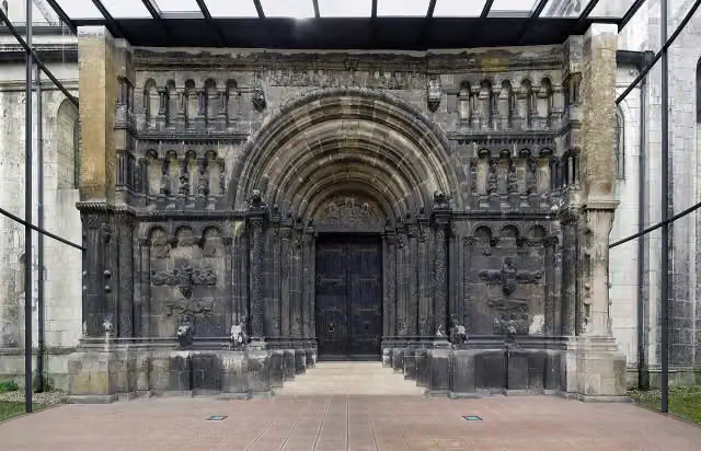 Scots MonasteryAttraction · 371 m from the route
- 19
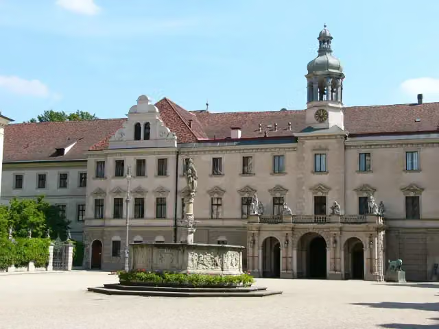 Schloss St. EmmeramAttraction · 738 m from the route
- 20
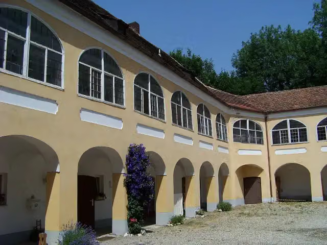 Schloss GeltolfingCastle · 5.6 km from the route
- 21
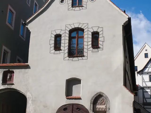 SteinhausAttraction · 81 m from the route
- 22
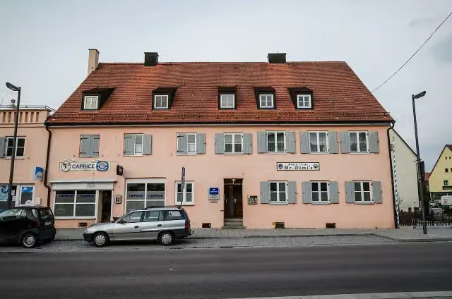 DillingenViewpoint · 99 m from the route
- 23
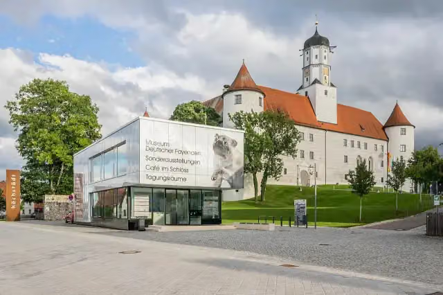 Museum Deutscher FayencenMuseum · 104 m from the route
- 24
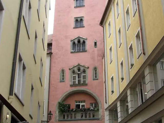 Baumburger TurmAttraction · 106 m from the route
- 25
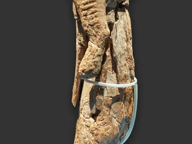 Museum UlmMuseum · 110 m from the route
Explore more
More cycle routes around Tuttlingen
More nearby
Frequently asked questions
How long is D-Route 6 - Donauroute?
D-Route 6 - Donauroute is 745.5 km long, in 5 parts of 149.1 km on average. Allow ± 9:55 h per part of riding: 15 km an hour, without breaks.
Is this route a circular ride?
No, the route starts and ends at different spots.
Where does this route start?
The route starts in Tuttlingen.
How hard is this route?
Hard per stage.
Are there toilets along this route?
Yes, there are 71 public toilets within 100 m of the route. The longest stretch without a toilet is 228.2 km.
Can you fill up with water along this route?
Yes, there are 56 water fountains and refill points within 100 m of the route.
What is there to see along this route?
Along the way you pass Schloß Gutenstein, Fürstliche Anlagen Inzigkofen and Observation tower.
Can I download this route as a GPX file?
Yes. Sign in with your Outdoor Pitstop account and choose Download GPX at the top of this page: 10 routes a month for free, unlimited with Pro.
Starting point
More routes from this place
Route data © OpenStreetMap contributors





