 Outdoor Pitstop
Cycle route · Euskirchen · Updated on 14 November 2026
Wasserburgen-Route cycle route
Wasserburgen-Route is a cycle route of 474.8 km from Euskirchen that starts and ends at the same spot. Along the way you'll find 1,535 benches, 15 water fountains and refill points, 45 public toilets, 11 bike pumps and 3 honesty boxes and farm vending machines.
i
i
i
The route step by step
From start to finish, with what you pass along the way and the distance in between.
- 474.8 km
- ± 2:05 h per stage
- ↑ 2,068 m · ↓ 2,005 m
- Moderate per stage
- Circular ride
- Regional route
Start in Euskirchen
0 km305 m · 2 benches

Untere Burg
305 mCastle
763 m · 10 benches
LVR Museum of Industry: Mueller Cloth Mill
1.1 kmPublic toilet
6.2 km · 24 benches
Burg Odendorf
7.2 kmCastle
6.1 km · 17 benches
Public toilet and water point
13.4 km9.6 km · 17 benches
Bauernstein
23 kmMemorial
771 m · bench
Schloss Rösberg
23.7 kmAttraction
8.4 km · 7 benches
Burg Heimerzheim
32.1 kmCastle
12 km · 28 benches
Burg Lüftelberg
44.1 kmCastle
14.3 km · 20 benches
Honesty box
58.4 km1.4 km · 11 benches
Water point
59.7 km335 m · 2 benches
Redoute
60.1 kmPublic toilet
226 m · 18 benches
Glockenspiel
60.3 kmAttraction
197 m · 7 benches
Schloss Rigal
60.5 kmCastle
240 m
Stadthalle Bad Godesberg
60.7 kmAttraction
7 km · 71 benches
Aachener Tor
67.7 kmAttraction
41.2 km · 89 benches
Bike pump
108.9 km4.4 km · 8 benches
Burg Blessem
113.3 kmCastle
10.8 km · 34 benches
Public toilet and water point
124.1 km19.1 km · 46 benches
LVR-Kulturhaus Landsynagoge Rödingen
143.2 kmMuseum
8.6 km · 7 benches
Gutshof Burg Wolfshoven
151.7 kmRuins
3.4 km
Schloss Hambach
155.2 kmCastle
14.9 km · 39 benches
Infopavillon
170.1 kmMuseum
1.2 km · 2 benches
Public toilet
171.3 km482 m · 9 benches
Observation tower
171.8 kmPublic toilet and water point
11.4 km · 29 benches
Glück-Auf Museum
183.1 kmMuseum
611 m · bench
Public toilet
183.8 km20.6 km · 23 benches
Burg Kinzweiler
204.4 kmAttraction
664 m
Haus Kambach
205.1 kmCastle
3.1 km · 12 benches
Klosterkapelle
208.1 kmMuseum
Show the other 61 steps
12.5 km · 34 benches
Public toilet
220.7 km289 m · 3 benches
Water point
220.9 km7.5 km · 16 benches
Bike pump
228.5 km3.9 km · 10 benches
Vierecksturm
232.4 kmAttraction
2.2 km · 17 benches
Schloss Schönau
234.6 kmCastle
312 m · 16 benches
Bike pump
234.9 km5.3 km · 35 benches
Public toilet and bike pump
240.3 km163 m
3 public toilets
240.5 km192 m · 9 benches
4 public toilets
240.6 km254 m · 14 benches
Torbogen des Klosterather Hofs and 1 more
240.9 kmFassade Wespienhaus and public toilet
267 m · 12 benches
Archäologisches Fenster and 1 more
241.2 kmCentre Charlemagne, public toilet and water point
151 m · 11 benches
Domschatzkammer and 1 more
241.3 kmGrashaus, public toilet and water point
154 m · 13 benches
Aachen Cathedral and 1 more
241.5 kmRömische Mauer, public toilet, 2 water fountains and refill points and 2 bike pumps
209 m · 26 benches
Elisenbrunnen
241.7 km2 public toilets
1.6 km · 51 benches
Burg Frankenberg
243.2 km2 public toilets
1.2 km · 16 benches
Public toilet
244.5 km5.8 km · 27 benches
Bike pump
250.2 km1.1 km · 11 benches
Bike pump
251.3 km3 km · 21 benches
Bike pump
254.3 km520 m · 16 benches
Public toilet
254.8 km267 m · 5 benches
kunsthaus nrw
255.1 kmMuseum
9.3 km · 38 benches
Burg Stolberg
264.4 kmCastle
13.3 km · 24 benches
Burg Holzheim
277.7 kmCastle
12.1 km · 31 benches
Rückriem-Stele
289.8 kmMemorial
2.4 km · 5 benches
Burg Birgel
292.2 kmPublic toilet
3.5 km · 3 benches
Honesty box
295.6 km3.5 km · 8 benches
Schloss Burgau
299.2 kmAttraction
10.5 km · 33 benches
Fischtreppe
309.7 kmAttraction
5 km · 18 benches
Public toilet
314.7 km7 km · 35 benches
Public toilet
321.7 km213 m · 6 benches
Burg Blens
321.9 kmCastle
826 m · bench
Public toilet
322.7 km4.7 km · 8 benches
2 public toilets and water point
327.5 km5.8 km · 43 benches
Rückriem-Stele and 2 more
333.2 kmPapiermuseum Düren and Leopold-Hoesch-Museum
396 m · 7 benches
3 public toilets and 2 water fountains and refill points
333.6 km595 m · 17 benches
Burg Hengebach
334.2 km3 public toilets and bike pump
6.6 km · 24 benches
Burg Vlatten
340.8 kmCastle
5 km · 4 benches
Burg Berg
345.9 kmCastle
3.5 km · 7 benches
Schloss Eicks
349.3 kmCastle
2.5 km
Burg Kommern
351.9 km3 public toilets
1.9 km · 14 benches
Water point
353.8 km3.8 km · 6 benches
Public toilet
357.6 km4.5 km · 7 benches
Honesty box
362 km1.5 km · 7 benches
Public toilet
363.5 km1.2 km · 7 benches
Schloß Wachendorf
364.7 kmCastle
1.1 km · 6 benches
Water point
365.8 km200 m · bench
Untere Burg Antweiler
366 kmCastle
6.2 km · 9 benches
Burg Kirspenich
372.3 kmCastle
3.2 km · 12 benches
Hardtburg
375.5 kmCastle
187 m · 2 benches
Public toilet
375.7 km2 km · 7 benches
Burg Niederkastenholz
377.7 kmCastle
3.3 km · 19 benches
Burg Schweinheim
381 kmCastle
7.9 km · 13 benches
Glasmuseum
388.9 kmPublic toilet
190 m
Rheinbacher Burg
389.1 kmWater point
23.4 km · 16 benches
Burg Juntersdorf
412.5 kmCastle
6.5 km · 13 benches
Römerthermen Zülpich Museum der Badekultur
419 kmMuseum
16 km · 39 benches
Bike pump
435 km15.5 km · 37 benches
Burg Münchhausen
450.6 kmAttraction
7.5 km · 5 benches
Burg Odenhausen
458 kmCastle
4.2 km · 12 benches
Observation tower
462.2 kmObservation tower
12.6 km · 94 benches
Back at the start
474.8 km
Longest stretch without a toilet: 85.9 kmBetween 388.9 km and 474.8 km there is no public toilet within 100 m of the route.
The route with the water points, toilets and sights within 100 m of it.
63 sights along the way
In the order you pass them. With the Outdoor Pitstop app you hear their story on the spot. 55 more along the route are on the map.
i
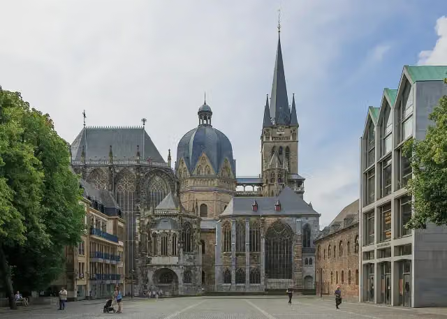
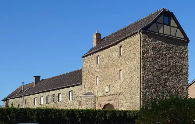
Photo: Prof. emeritus Hans Schneider (Geyersberg) · Wikimedia Commons · CC BY 4.0View the photo on Wikimedia CommonsCastle · after 305 m
i
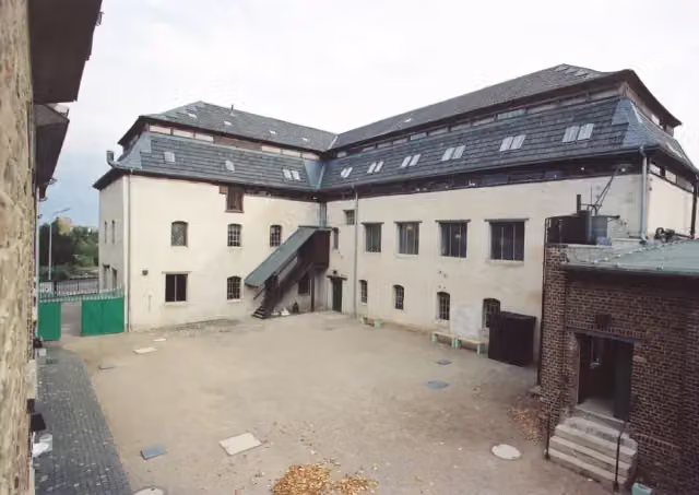
Photo: Imus Eus · Wikimedia Commons · CC BY 3.0View the photo on Wikimedia CommonsMuseum · after 1.1 km
i
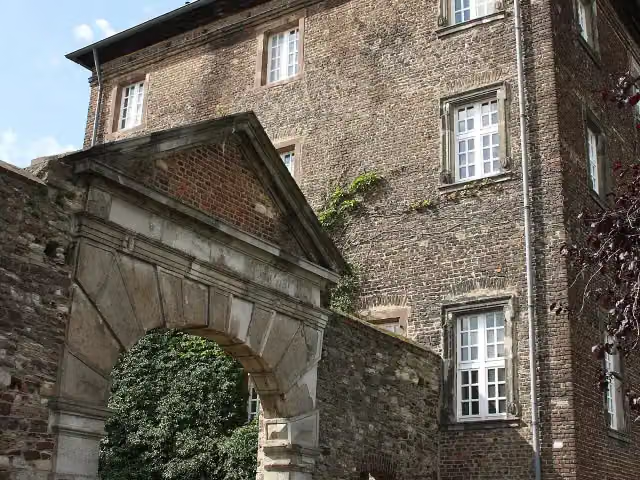
Photo: Reinhardhauke · Wikimedia Commons · CC BY-SA 3.0View the photo on Wikimedia CommonsCastle · after 7.2 km
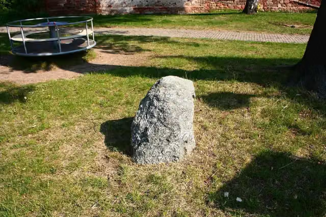
i
Photo: Pomfuttge · Wikimedia Commons · CC BY-SA 3.0View the photo on Wikimedia CommonsMemorial · after 23 km
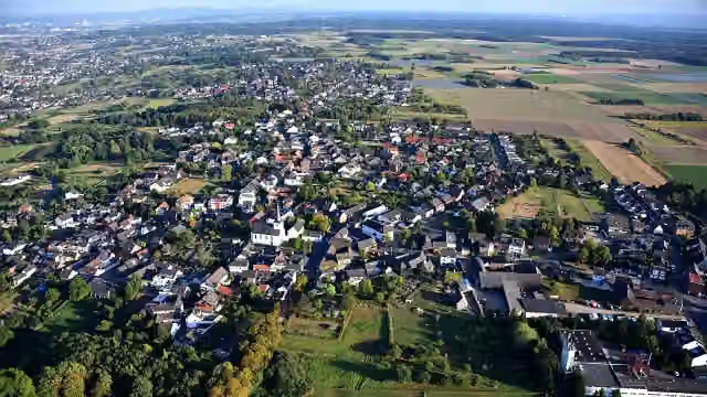
i
Photo: Wolkenkratzer · Wikimedia Commons · CC BY-SA 4.0View the photo on Wikimedia CommonsAttraction · after 23.7 km
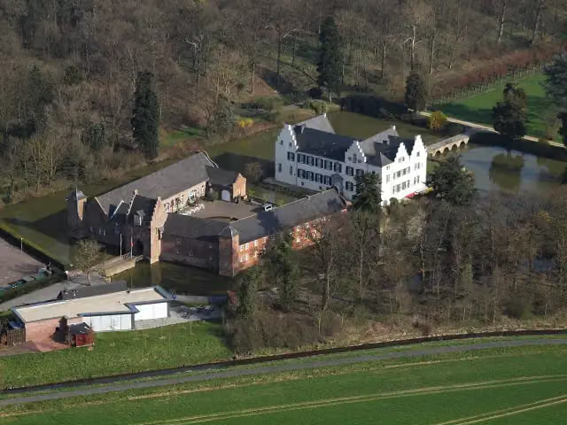
i
Photo: Wolkenkratzer · Wikimedia Commons · CC BY-SA 4.0View the photo on Wikimedia CommonsCastle · after 32.1 km
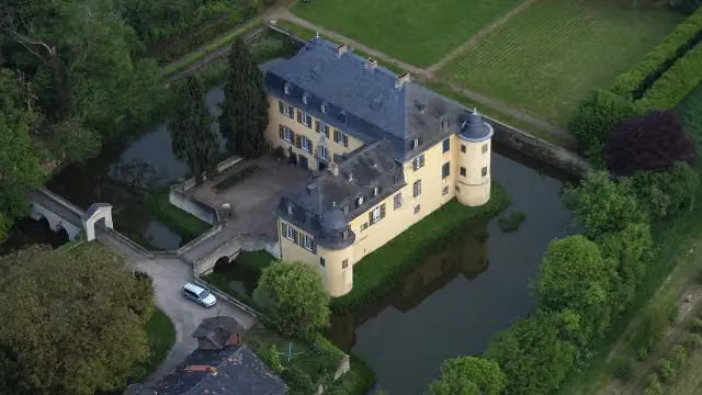
i
Photo: Wolkenkratzer · Wikimedia Commons · CC BY-SA 3.0View the photo on Wikimedia CommonsCastle · after 44.1 km
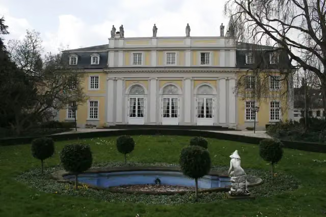
Attraction · after 60.1 km
Stages (15)
- 1Wasserburgen-Route Etappe 1a (nicht gemeinsamer Abschnitt)13.4 km
- 2Wasserburgen-Route Etappe 1b (nicht gemeinsamer Abschnitt)24.9 km
- 3Wasserburgen-Route Etappe 1a und 1b (gemeinsamer Abschnitt)23.1 km
- 4Wasserburgen-Route Etappe 2a und 2b (gemeinsamer Abschnitt)29.4 km
- 5Wasserburgen-Route Etappe 2a (nicht gemeinsamer Abschnitt)22.3 km
- 6Wasserburgen-Route Etappe 2b (nicht gemeinsamer Abschnitt)11.2 km
- 7Wasserburgen-Route Etappe 344.9 km
- 8Wasserburgen-Route Etappe 472.4 km
- 9Wasserburgen-Route Etappe 522.9 km
- 10Wasserburgen-Route Etappe 6a und 6b (gemeinsamer Abschnitt)35 km
- 11Wasserburgen-Route Etappe 6a (nicht gemeinsamer Abschnitt)28.1 km
- 12Wasserburgen-Route Etappe 6b (nicht gemeinsamer Abschnitt)6.3 km
- 13Wasserburgen-Route Etappe 7a55.4 km
- 14Wasserburgen-Route Etappe 7b50 km
- 15Wasserburgen-Route Etappe 8a35.6 km
Elevation and terrain
- Up
- ↑ 2,068 m
- Down
- ↓ 2,005 m
- Highest point
- 362 m
- Lowest point
- 50 m
- 5-10% slope · 8.9 km
- 10-15% slope · 263 m
- 15-20% slope · 875 m
Elevation from Copernicus GLO-30 (European Union and ESA), smoothed.
produced using Copernicus WorldDEM-30 © DLR e.V. 2010-2014 and © Airbus Defence and Space GmbH 2014-2018 provided under COPERNICUS by the European Union and ESA; all rights reserved
Way types
474.8 km in total- Track: 185.3 km
- Street: 100.2 km
- Path: 83.2 km
- Road: 60.1 km
- Busy road: 28.6 km
- Footpath (walk your bike): 8.8 km
- Cycle path: 7.3 km
- Unknown: 50 m
Surfaces
474.8 km in total- Asphalt: 334 km
- Gravel: 60.6 km
- Paved: 25.2 km
- Unpaved: 6.3 km
- Natural: 2.2 km
- Unknown: 45.2 km
About the cycle route Wasserburgen-Route
Updated on 14 November 2026, with data from OpenStreetMap, the AHN and Copernicus.
Where do you cycle?
Wasserburgen-Route is a circular ride of 474.8 km from Euskirchen: it starts and ends in the same place. Along the way you pass Untere Burg (after 305 m), LVR Museum of Industry: Mueller Cloth Mill (after 1.1 km) and Burg Odendorf (after 7.2 km).
How hard is the route?
You climb 2,068 m in total and descend 2,005 m. Allow ± 2:05 h per stage, without breaks. Per stage the level is moderate.
What roads do you cycle on?
The longest part is track (185.3 km), street (100.2 km) and path (83.2 km). Of the surface, 334 km asphalt and 60.6 km gravel. For 45.2 km the surface is not known.
Pitstops along the way
Within 100 metres of the route there are 1,535 benches, 15 water fountains and refill points, 45 public toilets, 11 bike pumps and 3 honesty boxes and farm vending machines. The longest stretch without a toilet is 85.9 km. The Outdoor Pitstop app navigates you there.
Cycle routes nearby
5Sights nearby
Within 10 km of the route, best known first.
- 1
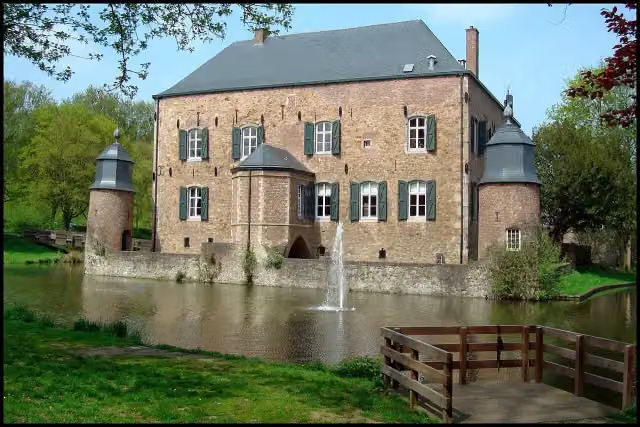 Kasteel ErensteinCastle · 2.7 km from the route
- 2
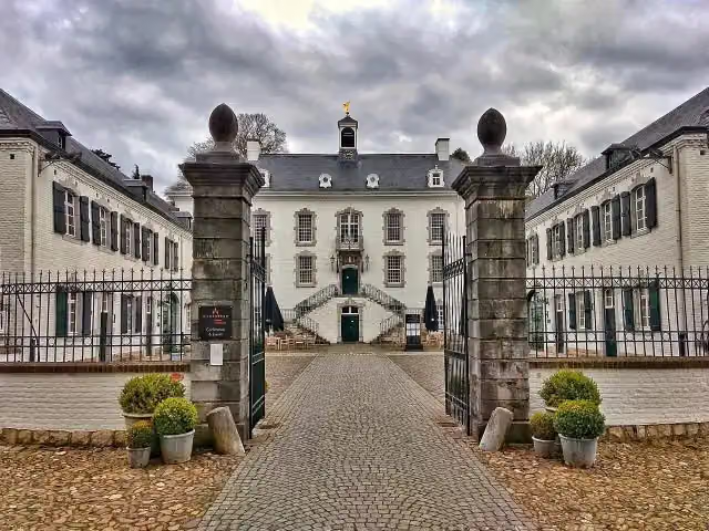 Kasteel VaalsbroekCastle · 5.8 km from the route
- 3
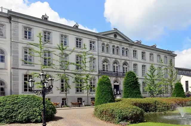 Huis BloemendalCastle · 4.4 km from the route
- 4
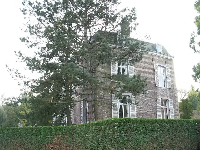 Kasteel StrijthagenCastle · 4.7 km from the route
- 5
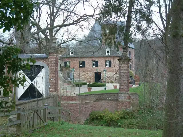 Kasteel LemiersCastle · 4.8 km from the route
- 6
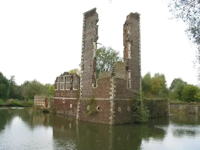 Kasteelruïne SchaesbergRuins · 7.6 km from the route
- 7
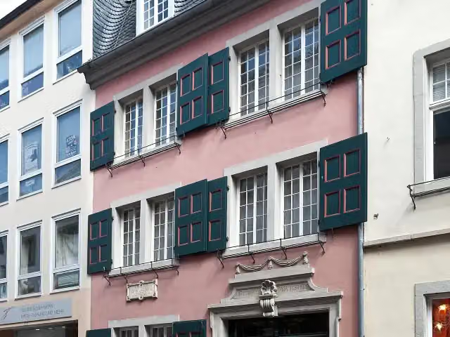 Beethoven HouseMuseum · 7 km from the route
- 8
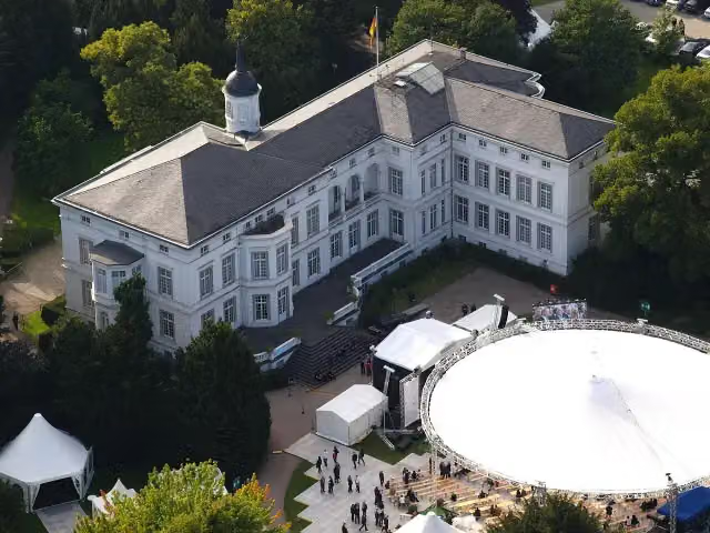 Palais SchaumburgAttraction · 4.8 km from the route
- 9
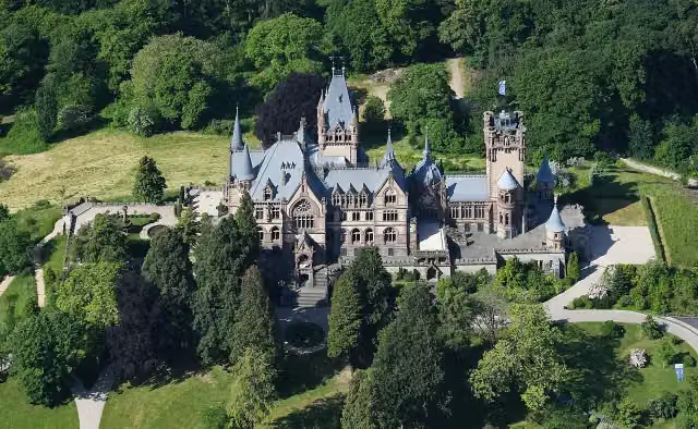 Schloß DrachenburgAttraction · 971 m from the route
- 10
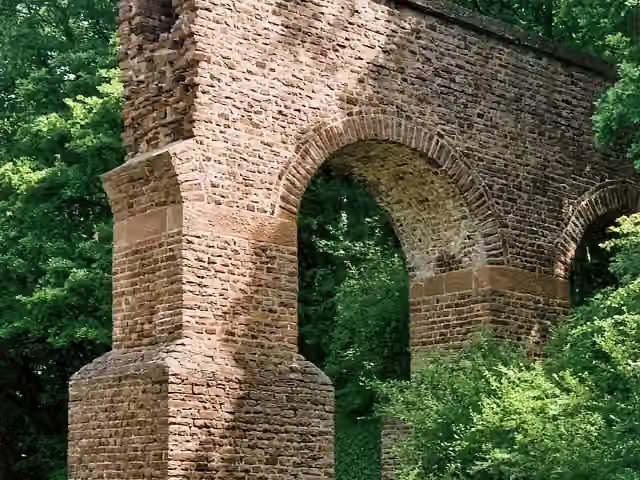 Teilstück Römische WasserleitungRuins · 1.4 km from the route
- 11
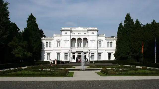 Villa HammerschmidtAttraction · 5 km from the route
- 12
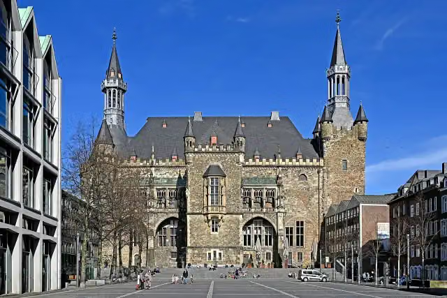 Aachen Town HallAttraction · 144 m from the route
- 13
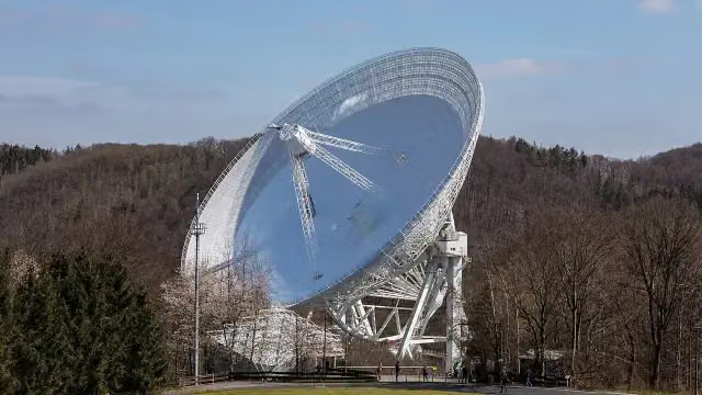 Radioteleskop EffelsbergAttraction · 9.7 km from the route
- 14
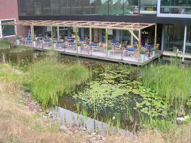 Discovery MuseumMuseum · 2.1 km from the route
- 15
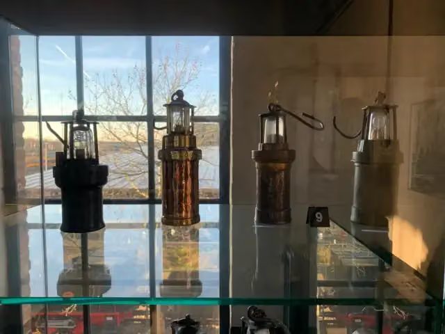 Nederlands MijnmuseumMuseum · 8.3 km from the route
- 16
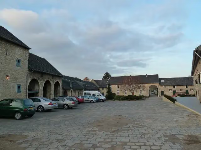 Hoeve OverhuizenCastle · 3.2 km from the route
- 17
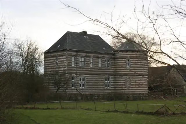 Kasteel De BongardCastle · 4.2 km from the route
- 18
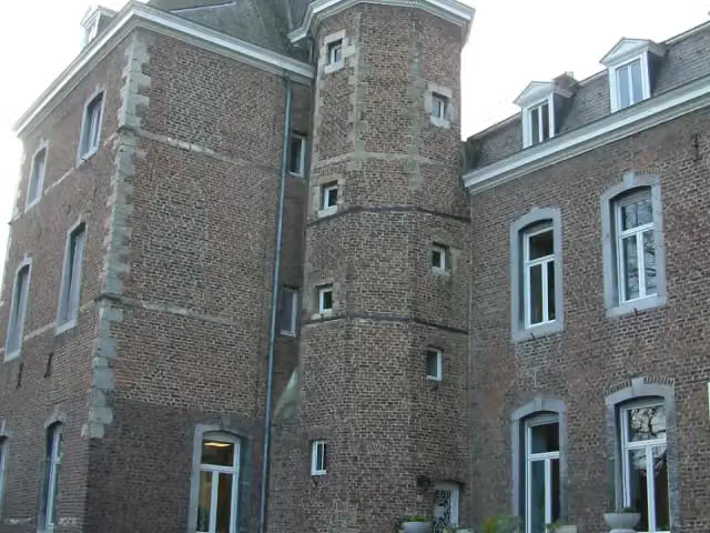 Kasteel NijswillerCastle · 7.1 km from the route
- 19
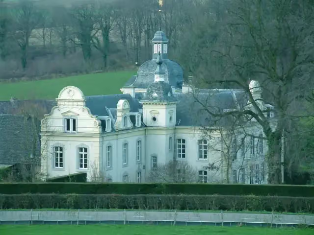 Kasteel GoedenraadCastle · 7.7 km from the route
- 20
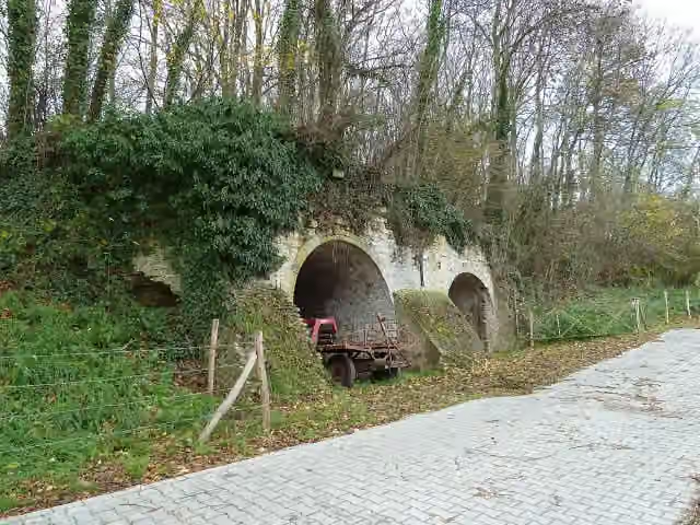 Kalkoven DaelswegRuins · 8.4 km from the route
- 21
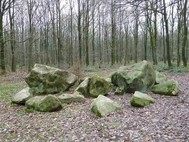 Geologisch monument ZandsteenblokkenMemorial · 8.2 km from the route
- 22
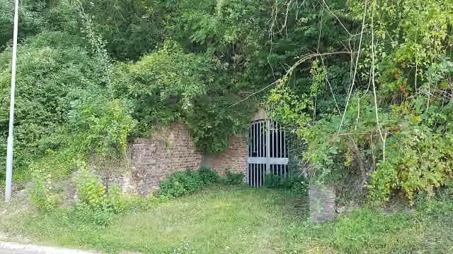 Kalkoven SiebenRuins · 8.5 km from the route
- 23
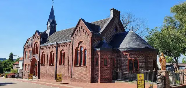 Museum VaalsMuseum · 5.2 km from the route
- 24
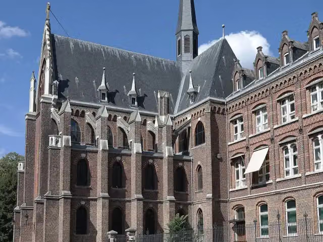 De Schat van SimpelveldMuseum · 5.6 km from the route
- 25
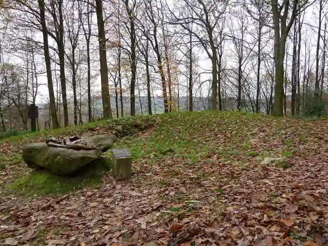 Tumuli VijlenerbosArchaeological site · 7.2 km from the route
Explore more
More cycle routes around Euskirchen
More nearby
Frequently asked questions
How long is Wasserburgen-Route?
Wasserburgen-Route is 474.8 km long, in 15 parts of 31.7 km on average. Allow ± 2:05 h per part of riding: 15 km an hour, without breaks.
Is this route a circular ride?
Yes, the route starts and ends at the same spot.
Where does this route start?
The route starts in Euskirchen.
How hard is this route?
Moderate per stage, with 138 m per stage of climbing.
Are there toilets along this route?
Yes, there are 45 public toilets within 100 m of the route. The longest stretch without a toilet is 85.9 km.
Can you fill up with water along this route?
Yes, there are 15 water fountains and refill points within 100 m of the route.
What is there to see along this route?
Along the way you pass Untere Burg, LVR Museum of Industry: Mueller Cloth Mill and Burg Odendorf.
Can I download this route as a GPX file?
Yes. Sign in with your Outdoor Pitstop account and choose Download GPX at the top of this page: 10 routes a month for free, unlimited with Pro.
Starting point
More routes from this place
Route data © OpenStreetMap contributors





