 Outdoor Pitstop
Walks near Veenendaal
1-12 of 45+ walks
Within 10 km of Veenendaal, nearest first.
Sort: Nearest first
- 1
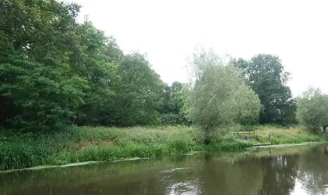
Grebbeliniepad - 04 - Benedeneind-Roode Haan
Grebbe Line Trail - 04 - Benedeneind-Roode Haan
4.8 km · From A to B
± 1:05 hEasy
21benches and picnic tables0public toilets2water fountains and refill points
- 2
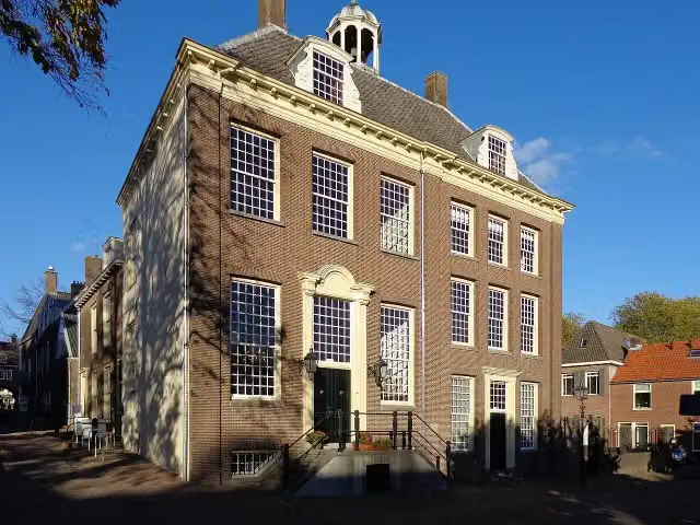
NS-wandeltocht Elsterberg
NS walk Elsterberg
17.6 km · From A to B
± 4:05 hModerate
50benches and picnic tables0public toilets4water fountains and refill points
- 3
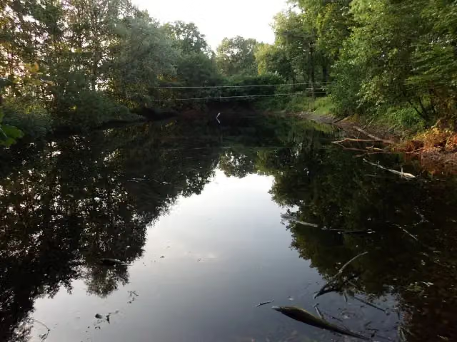
Utrechtpad etappe05
Utrecht Trail stage 5
13.2 km · From A to B
± 3:00 hModerate
23benches and picnic tables0public toilets1water point
- 4
Grebbeliniepad - 03 - Grebbeberg-Benedeneind
Grebbe Line Trail - 03 - Grebbeberg-Benedeneind
10.4 km · From A to B
± 2:20 hModerate
15benches and picnic tables0public toilets0water fountains and refill points
- 5
Grebbeliniepad - 05 - Roode Haan-Werk aan de Daatselaar
Grebbe Line Trail - 05 - Roode Haan-Werk aan de Daatselaar
7.9 km · From A to B
± 1:45 hEasy
9benches and picnic tables1public toilet0water fountains and refill points
- 6
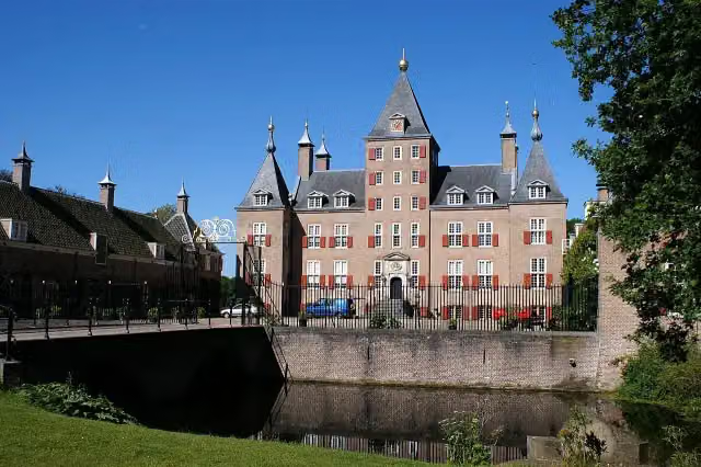
Jufferpad
Juffer Trail
15.7 km · Circular walk
± 3:30 hModerate
25benches and picnic tables0public toilets0water fountains and refill points
- 7
Jufferpad Aanlooproute Station
Juffer Trail station approach route
1.6 km · From A to B
± 20 minEasy
8benches and picnic tables0public toilets1water point
- 8
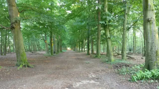
Elsterkoproute
4.2 km · Circular walk
± 1:00 hEasy
6benches and picnic tables0public toilets0water fountains and refill points
- 9
Galgenbergroute
Gallows Hill Route
8.3 km · Circular walk
± 1:55 hEasy
11benches and picnic tables0public toilets1water point
- 10
Utrechtpad etappe06
Utrecht Trail stage 6
18.5 km · From A to B
± 4:05 hModerate
35benches and picnic tables1public toilet0water fountains and refill points
- 11
Trekvogelpad - 14
Migratory Bird Trail - 14
17.1 km · From A to B
± 4:05 hModerate
39benches and picnic tables0public toilets3water fountains and refill points
- 12
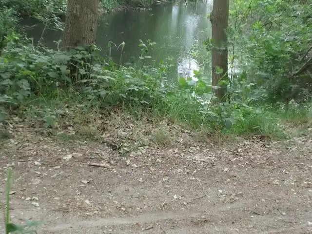
Grebbeliniepad - 06 - Werk aan de Daatselaar-De Groep
Grebbe Line Trail - 06 - Werk aan de Daatselaar-De Groep
7 km · From A to B
± 1:35 hEasy
10benches and picnic tables0public toilets0water fountains and refill points

Walks per province and place
Per province the places with the most routes. The province itself has them all.
Utrecht
242 routes ›- Utrechtse Heuvelrug35 ›
- De Ronde Venen34 ›
- Soest32 ›
- Baarn31 ›
- Stichtse Vecht30 ›
- De Bilt30 ›
- Rhenen28 ›
- Leusden27 ›
- Utrecht24 ›
- Amersfoort21 ›
- Veenendaal9 ›
Drenthe
160 routes ›- Westerveld30 ›
- De Wolden29 ›
- Aa en Hunze23 ›
- Midden-Drenthe23 ›
- Borger-Odoorn21 ›
- Emmen19 ›
- Coevorden19 ›
- Hoogeveen17 ›
- Tynaarlo15 ›
- Meppel13 ›
Frisia
117 routes ›- Súdwest-Fryslân30 ›
- Noardeast-Fryslân25 ›
- Tytsjerksteradiel17 ›
- Leeuwarden15 ›
- Weststellingwerf14 ›
- De Fryske Marren13 ›
- Dantumadiel12 ›
- Smallingerland11 ›
- Waadhoeke11 ›
- Ooststellingwerf10 ›
Gelderland
1,130 routes ›- Bronckhorst82 ›
- Lochem80 ›
- Apeldoorn73 ›
- Berkelland65 ›
- Berg en Dal64 ›
- Winterswijk59 ›
- Nijmegen53 ›
- West Betuwe53 ›
- Ede52 ›
- Aalten51 ›
Limburg
409 routes ›- Gulpen-Wittem84 ›
- Eijsden-Margraten69 ›
- Valkenburg aan de Geul50 ›
- Vaals42 ›
- Maastricht39 ›
- Weert38 ›
- Beekdaelen37 ›
- Venlo23 ›
- Voerendaal23 ›
- Sittard-Geleen20 ›
North Brabant
446 routes ›- 's-Hertogenbosch50 ›
- Eindhoven40 ›
- Oisterwijk39 ›
- Boxtel37 ›
- Bergeijk35 ›
- Land van Cuijk34 ›
- Meierijstad33 ›
- Bergen op Zoom32 ›
- Heeze-Leende30 ›
- Valkenswaard30 ›
North Holland
687 routes ›- Amsterdam104 ›
- Haarlemmermeer59 ›
- Gooise Meren54 ›
- Hilversum51 ›
- Medemblik42 ›
- Bloemendaal40 ›
- Velsen40 ›
- Wijdemeren38 ›
- Texel36 ›
- Amstelveen34 ›
Overijssel
645 routes ›- Steenwijkerland64 ›
- Hardenberg58 ›
- Hof van Twente55 ›
- Dinkelland54 ›
- Deventer53 ›
- Rijssen-Holten53 ›
- Enschede52 ›
- Hellendoorn47 ›
- Ommen44 ›
- Tubbergen40 ›





