 Outdoor Pitstop
Walking guide West Betuwe · Updated on 6 November 2026
The best walks in West Betuwe
West Betuwe has 53 walks on the Outdoor Pitstop map. The 10 best are 16.6 km long on average. Along the way you'll find 240 benches and picnic tables, 7 water fountains and refill points and 4 public toilets in total.
i
i
i
The 10 best walks in West Betuwe
The best walking route in West Betuwe by our score is Maarten van Rossumpad - 4: 18.9 km, from A to B, start Zaltbommel, moderate.
In the order of our score: a photo, points of interest along the way, a toilet or water point, a circular walk, a description and how often people search for the route.
The numbers on the map are the routes below, at their starting point. Pitstops count up to 100 m from the route. Walking time assumes 4.5 km an hour plus 10 minutes per 100 m of ascent.
- 1
i
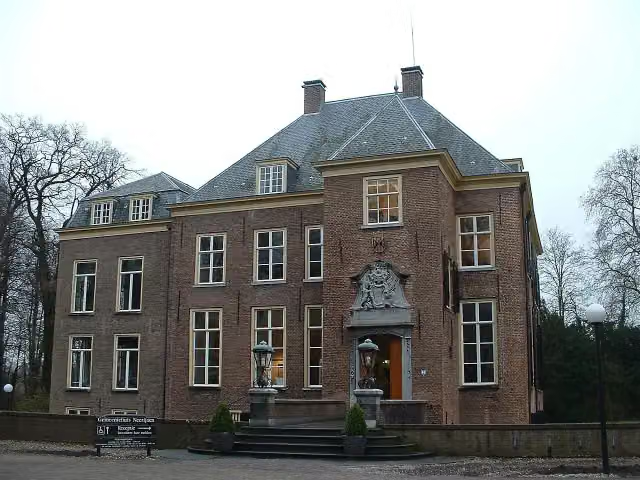
Photo: P.J.L Laurens · Wikimedia Commons · CC BY 3.0View the photo on Wikimedia CommonsMaarten van Rossumpad - 4
ModerateMaarten van Rossum Trail - 4
18.9 km · ± 4:15 h · ↗ 18 m · From A to B · start Zaltbommel
1 public toilet0 water fountains and refill points12 benches and picnic tables
- 2
i
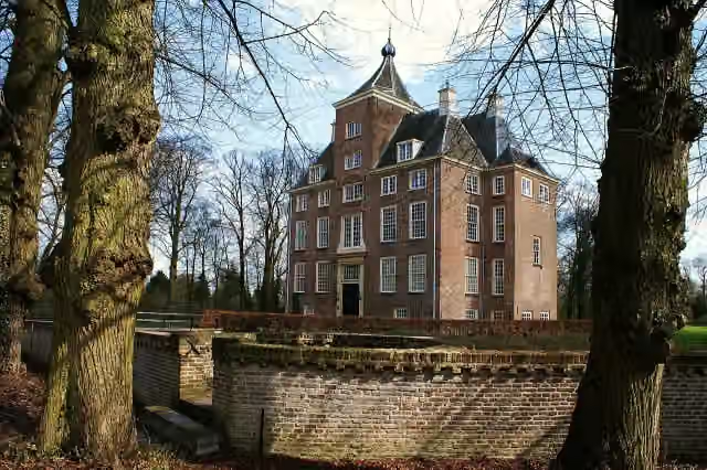
Photo: Kasteelbeer · Wikimedia Commons · CC BY-SA 3.0 nlView the photo on Wikimedia CommonsGreat Rivers Trail - 11
21.2 km · ± 4:45 h · ↗ 6 m · From A to B · start West Betuwe
0 public toilets1 water point38 benches and picnic tables
- 3
i
Photo: Gerard Dukker · Wikimedia Commons · CC BY-SA 4.0View the photo on Wikimedia CommonsWaterliniepad - 16
ModerateWater Line Trail - 16
19.3 km · ± 4:20 h · ↗ 16 m · From A to B · start Culemborg
0 public toilets1 water point27 benches and picnic tables
- 4
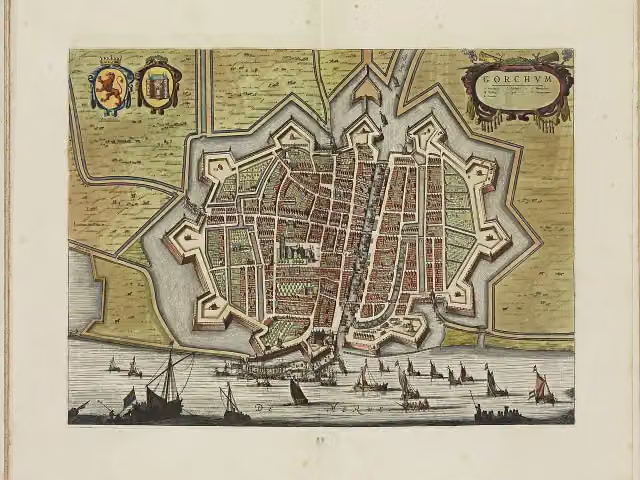
Water Line Trail - 18
20.7 km · ± 4:35 h · From A to B · start West Betuwe
1 public toilet2 water fountains and refill points54 benches and picnic tables
- 5
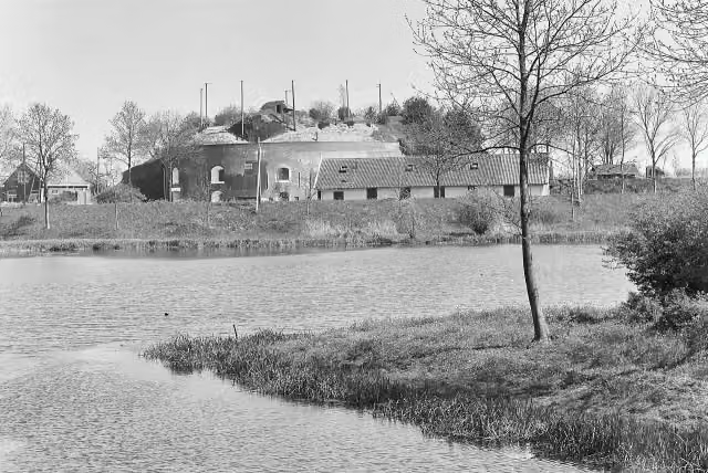
i
Photo: A. J. van der Wal · Wikimedia Commons · CC BY-SA 4.0View the photo on Wikimedia CommonsGreat Rivers Trail - 10
21.9 km · ± 4:55 h · ↗ 10 m · From A to B · start Vijfheerenlanden
1 public toilet1 water point45 benches and picnic tables
- 6
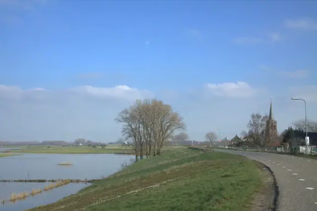
i
Photo: Jan dijkstra · Wikimedia Commons · CC BY-SA 4.0View the photo on Wikimedia CommonsBetuwepad - 4
EasyBetuwe Trail - 4
7.5 km · ± 1:40 h · From A to B · start West Betuwe
1 public toilet0 water fountains and refill points2 benches and picnic tables
- 7
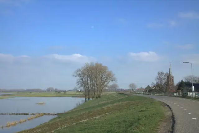
i
Photo: Jan dijkstra · Wikimedia Commons · CC BY-SA 4.0View the photo on Wikimedia CommonsBetuwepad - 2
ModerateBetuwe Trail - 2
10.5 km · ± 2:20 h · From A to B · start Buren
0 public toilets2 water fountains and refill points14 benches and picnic tables
- 8
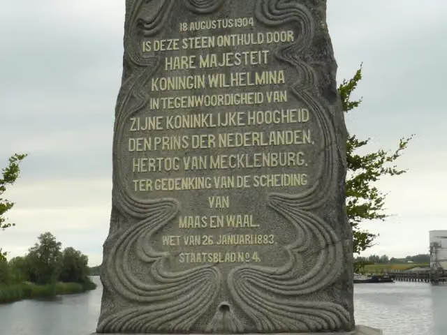
i
Photo: Zandcee · Wikimedia Commons · CC BY-SA 4.0View the photo on Wikimedia CommonsPelgrimspad 1 - 9
ModeratePilgrim Trail 1 - 9
18.6 km · ± 4:10 h · ↗ 9 m · From A to B · start Altena
0 public toilets0 water fountains and refill points13 benches and picnic tables
- 9
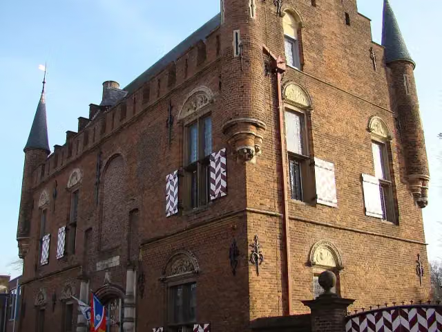
MvR Stage 4-Alt1
20.6 km · ± 4:35 h · ↗ 9 m · From A to B · start Zaltbommel
0 public toilets0 water fountains and refill points27 benches and picnic tables
- 10
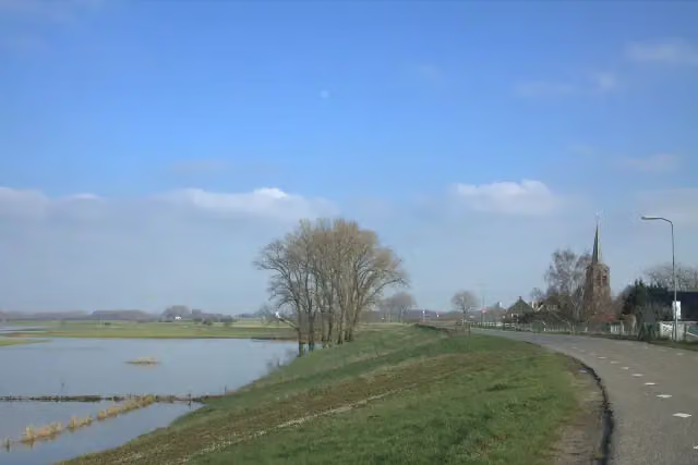
i
Photo: Jan dijkstra · Wikimedia Commons · CC BY-SA 4.0View the photo on Wikimedia CommonsBetuwepad - 3
EasyBetuwe Trail - 3
7 km · ± 1:35 h · From A to B · start West Betuwe
0 public toilets0 water fountains and refill points8 benches and picnic tables
All 33 walks from West Betuwe, A to Z
- Betuwepad - 03 · Betuwe Trail - 3
- Betuwepad - 04 · Betuwe Trail - 4
- Dikke Torenpad · Fat Tower Trail
- Grote Rivierenpad - 11 · Great Rivers Trail - 11
- Maarten van Rossumpad - 05 · Maarten van Rossum Trail - 5
- Mariënwaerdt-Linge
- Overstaproute Dikke Torenpad - Ynenpad · Transfer route Fat Tower Trail - Ynen Trail
- Oversteek Ynenpad - Dikke Torenpad · Crossing Ynen Trail - Fat Tower Trail
- Rondje Asperen (IJsvogelroute) · Asperen circular walk (Kingfisher Route)
- Rondje Beesd/Linge · Beesd/Linge circular walk
- Rondje Bovenwaarden-Brakel · Bovenwaarden-Brakel circular walk
- Rondje Buren - Buurmalsen · Buren - Buurmalsen circular walk
- Rondje Buurmalsen · Buurmalsen circular walk
- Rondje Deil · Deil circular walk
- Rondje Geldermalsen · Geldermalsen circular walk
- Rondje Haaften · Haaften circular walk
- Rondje Heesselt · Heesselt circular walk
- Rondje Hellouw · Hellouw circular walk
- Rondje Heukelum · Heukelum circular walk
- Rondje Heukelum-zuid (Orchideeënroute) · Heukelum South circular walk (Orchid Route)
- Rondje kasteel Heukelum · Heukelum Castle circular walk
- Rondje Linge · Linge circular walk
- Rondje Lingebos · Lingebos circular walk
- Rondje Lingebos-oost · Lingebos-oost circular walk
- Rondje Ophemert · Ophemert circular walk
- Rondje Rhenoy · Rhenoy circular walk
- Rondje Spijk · Spijk circular walk
- Rondje Tricht · Tricht circular walk
- Rondje Tuil · Tuil circular walk
- Rondje Wadenoijen - Ophemert · Wadenoijen - Ophemert circular walk
- Wandelroute Laarzenpad 't Broek · Boots Trail 't Broek walking route
- Waterliniepad - 17 · Water Line Trail - 17
- Waterliniepad - 18 · Water Line Trail - 18
Long-distance paths through West Betuwe
Walks of several days, in stages.
i
Photo: Jan dijkstra · Wikimedia Commons · CC BY-SA 4.0View the photo on Wikimedia Commons
E8
664.3 km · From A to B
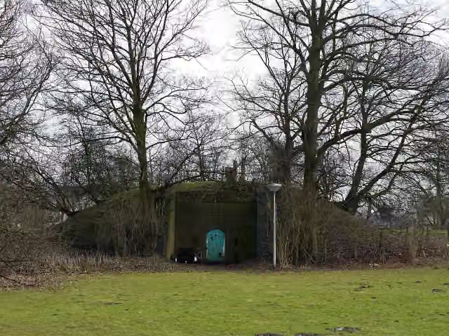
i
Photo: China Crisis · Wikimedia Commons · CC BY 3.0View the photo on Wikimedia CommonsEuropean long distance path E8 - part Netherlands
638.4 km · From A to B
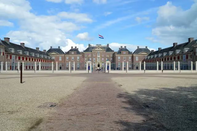
i
Photo: Roger Veringmeier · Wikimedia Commons · CC BY 4.0View the photo on Wikimedia Commons
Points of interest along the walks
Along the 10 best walks.
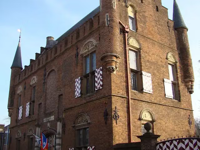 Story
Stadskasteel
Museum · along 2 walks
- Story
Maarten van Rossumhuis
Castle · along 2 walks
Scheiding van Maas en Waal
Memorial · along 2 walks
Kasteel Neerijnen
Castle · along 1 walk
Kasteel Soelen
Castle · along 1 walk
Werk op de Spoorweg bij de Diefdijk
Fort · along 1 walk
- Story
Vesting Gorinchem
Castle · along 1 walk
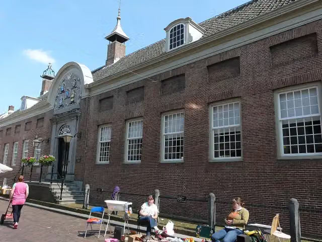 Audio story · 2 min
i
Photo: G.Lanting · Wikimedia Commons · CC BY 3.0View the photo on Wikimedia CommonsHofje van Aerden
Museum · along 1 walk
Walks per place in Gelderland
49 places have their own guide.
- Aalten51 ›
- Apeldoorn73 ›
- Arnhem44 ›
- Barneveld32 ›
- Berg en Dal64 ›
- Berkelland65 ›
- Bronckhorst82 ›
- Brummen34 ›
- Buren32 ›
- Culemborg13 ›
- Doesburg7 ›
- Doetinchem32 ›
- Druten11 ›
- Duiven20 ›
- Ede52 ›
- Elburg15 ›
- Epe19 ›
- Ermelo31 ›
- Harderwijk15 ›
- Hattem15 ›
- Heerde19 ›
- Heumen34 ›
- Lingewaard49 ›
- Lochem80 ›
- Maasdriel28 ›
- Montferland41 ›
- Neder-Betuwe28 ›
- Nijkerk25 ›
- Nijmegen53 ›
- Nunspeet31 ›
- Oldebroek21 ›
- Oost Gelre29 ›
- Oude IJsselstreek49 ›
- Overbetuwe49 ›
- Putten33 ›
- Renkum46 ›
- Rheden23 ›
- Rozendaal8 ›
- Scherpenzeel7 ›
- Tiel19 ›
- Voorst27 ›
- Wageningen27 ›
- West Maas en Waal17 ›
- Westervoort7 ›
- Wijchen16 ›
- Winterswijk59 ›
- Zaltbommel27 ›
- Zevenaar21 ›
- Zutphen26 ›
Explore further
Frequently asked questions
How many walks are there in West Betuwe?
The Outdoor Pitstop map has 53 walks in West Betuwe, including 10 long-distance paths in stages.
What is the best walk in West Betuwe?
At the top of this guide is Maarten van Rossumpad - 4 (18.9 km, moderate). Next come Grote Rivierenpad - 11 and Waterliniepad - 16.
Which walks in West Betuwe have a toilet along the way?
In this guide, Maarten van Rossumpad - 4, Waterliniepad - 18 and Grote Rivierenpad - 10 have a public toilet along the route.
Which long-distance paths run through West Betuwe?
Among others Betuwepad, E8, Waterliniepad and European long distance path E8 - part Netherlands run through this area.
Popular nearby
Guides of places nearby





