 Outdoor Pitstop
Walking guide Oude IJsselstreek · Updated on 5 November 2026
The best walks in Oude IJsselstreek
Oude IJsselstreek has 49 walks on the Outdoor Pitstop map. The 10 best are 12.5 km long on average; 6 of them are circular walks. Along the way you find 290 benches and picnic tables and 6 water fountains and refill points in total.
i
i
The 10 best walks
In the order of our score: a photo, points of interest along the way, a toilet or water point, a circular walk, a description and how often people search for the route.
The best walking route in Oude IJsselstreek is Noaberpad etappe 21 (20.5 km, hard).
The numbers on the map are the routes below, at their starting point. Pitstops count up to 100 m from the route. Walking time assumes 4.5 km an hour plus 10 minutes per 100 m of ascent.
- 1
Neighbours' Trail stage 21
20.5 km · ± 4:45 h · ↗ 113 m · From A to B · start Oude IJsselstreek
0 public toilets1 water point91 benches and picnic tables
- 2
i
Photo: Ziko van Dijk · Wikimedia Commons · CC BY-SA 3.0View the photo on Wikimedia CommonsNoaberpad etappe 20
ModerateNeighbours' Trail stage 20
12.9 km · ± 2:50 h · From A to B · start Isselburg
0 public toilets0 water fountains and refill points35 benches and picnic tables
- 3
i
Photo: Technische Fred at Dutch Wikipedia · Wikimedia Commons · CC BY-SA 3.0View the photo on Wikimedia CommonsPieterpad deel 2 - 02
ModeratePieterpad part 2 - 02
17.4 km · ± 3:55 h · ↗ 3 m · From A to B · start Bronckhorst
0 public toilets1 water point44 benches and picnic tables
- 4
i
Photo: Ziko van Dijk · Wikimedia Commons · CC BY-SA 3.0View the photo on Wikimedia CommonsOude IJsselroute
EasyOld IJssel Route
5.8 km · ± 1:15 h · ↗ 6 m · Circular walk · start Oude IJsselstreek
0 public toilets0 water fountains and refill points8 benches and picnic tables
- 5
i
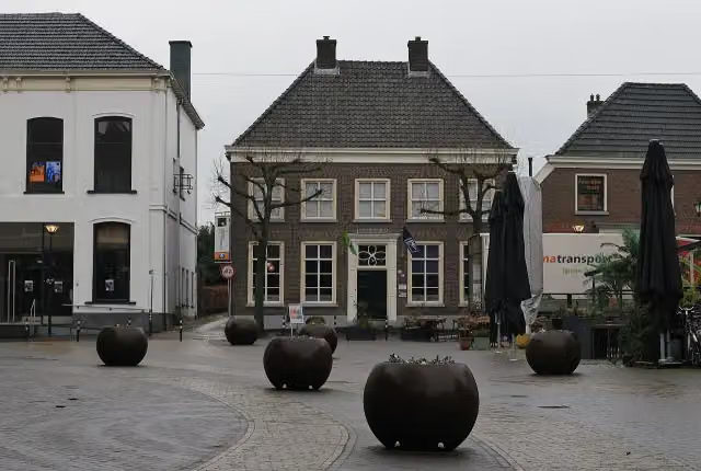
Photo: Ziko · Wikimedia Commons · CC BY-SA 4.0View the photo on Wikimedia CommonsLudger Trail | Zelhem Aalten
23.7 km · ± 5:15 h · ↗ 10 m · From A to B · start Aalten
0 public toilets1 water point54 benches and picnic tables
- 6
i
Photo: Ziko van Dijk · Wikimedia Commons · CC BY-SA 3.0View the photo on Wikimedia CommonsRondje Gendringen
ModerateGendringen circular walk
10.1 km · ± 2:15 h · Circular walk · start Oude IJsselstreek
0 public toilets0 water fountains and refill points31 benches and picnic tables
- 7
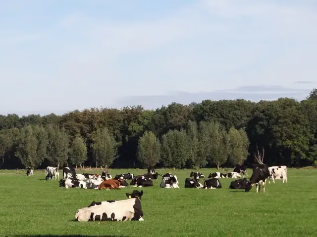
i
Photo: Rode raaf · Wikimedia Commons · CC BY-SA 4.0View the photo on Wikimedia CommonsRondje Hoonhorst
EasyHoonhorst circular walk
2.6 km · ± 35 min · Circular walk · start Oude IJsselstreek
0 public toilets0 water fountains and refill points3 benches and picnic tables
- 8
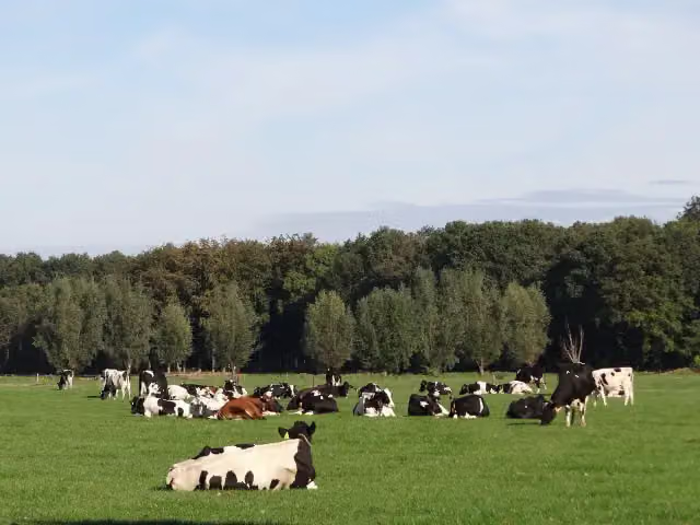
i
Photo: Rode raaf · Wikimedia Commons · CC BY-SA 4.0View the photo on Wikimedia CommonsAnholtsebroek circular walk
3.4 km · ± 45 min · Circular walk · start Oude IJsselstreek
0 public toilets0 water fountains and refill points1 bench
- 9
Rondje Heelweg
ModerateHeelweg circular walk
14.7 km · ± 3:15 h · ↗ 3 m · Circular walk · start Oude IJsselstreek
0 public toilets1 water point10 benches and picnic tables
- 10
Ganderpad Verlengd
ModerateGander Trail Extended
13.6 km · ± 3:00 h · ↗ 13 m · Circular walk · start Oude IJsselstreek
0 public toilets2 water fountains and refill points13 benches and picnic tables
All 34 walks from Oude IJsselstreek, A to Z
- Buurtschappenroute · Hamlets Route
- Ganderpad Verlengd · Gander Trail Extended
- Harreveldwandeling · Harreveld walk
- Landfortroute
- Lichtenbergroute
- Linteloroute
- Noaberpad etappe 21 · Neighbours' Trail stage 21
- Oude IJsselroute · Old IJssel Route
- Rondje Anholtsebroek · Anholtsebroek circular walk
- Rondje Etten · Etten circular walk
- Rondje Gendringen · Gendringen circular walk
- Rondje Heelweg · Heelweg circular walk
- Rondje Hoonhorst · Hoonhorst circular walk
- Rondje Idinkbos · Idinkbos circular walk
- Rondje Voorbroek · Voorbroek circular walk
- Rondje Voorst · Voorst circular walk
- Rondje Weidenhoek · Weidenhoek circular walk
- Rondje Westendorp · Westendorp circular walk
- Route de Pol
- Smoddehoek route
- Stubbelder route
- Vennebultenwandeling · Vennebulten walk
- Verbinding A51-A72 · Link A51-A72
- Verbinding X58-X84 · Link X58-X84
- verbindingsroute A52-D29 · Link route A52-D29
- Verbindingsroute B14-B27 · Link route B14-B27
- Verbindingsroute B18-X85 · Link route B18-X85
- Verbindingsroute X21-X86 · Link route X21-X86
- Verbindingsroute X55-X60 · Link route X55-X60
- Verbindingsroute X73-X74 · Link route X73-X74
- Verbindingsroute Y15-Y50 · Link route Y15-Y50
- VerbindingsrouteY23-Y52-Y11-Y13 · Link route Y23-Y52-Y11-Y13
- WNW Achterhoek verbindinsroute B37-X64 · Achterhoek walking network link route B37-X64
- WNW Achterhoek verbingsroute Y21-Y46-Y62-Y43 · Achterhoek walking network link route Y21-Y46-Y62-Y43
Long-distance paths through Oude IJsselstreek
Walks of several days, in stages.
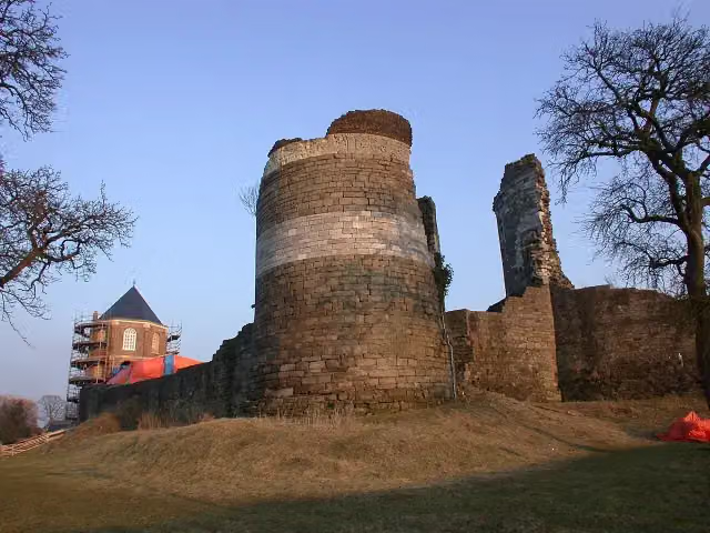
i
Photo: Sander Beckers · Wikimedia Commons · CC BY-SA 3.0View the photo on Wikimedia CommonsPieterpad (LAW 9)
500.9 km · From A to B
i
Photo: Sander Beckers · Wikimedia Commons · CC BY-SA 3.0View the photo on Wikimedia CommonsPieterpad deel 2 - Vorden-Maastricht Pietersberg
Pieterpad part 2 - Vorden-Maastricht Pietersberg
261.2 km · From A to B
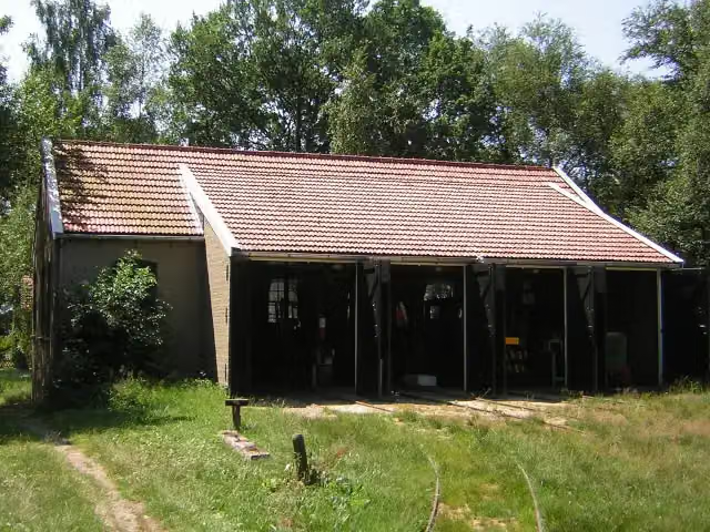
i
Photo: Winius · Wikimedia Commons · CC BY-SA 3.0View the photo on Wikimedia Commons
Points of interest along the walks
Along the 10 best walks.
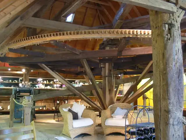
De Rosmolen
Museum · along 1 walk
- Audio story · 2 min
Kasteel Huis Bergh
Castle · along 1 walk
- Audio story · 2 min
i
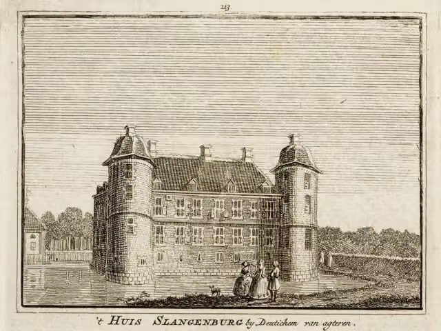
Photo: Technische Fred at Dutch Wikipedia · Wikimedia Commons · CC BY-SA 3.0View the photo on Wikimedia CommonsKasteel Slangenburg
Castle · along 1 walk
- Audio story · 2 min
i
Photo: Ziko · Wikimedia Commons · CC BY-SA 4.0View the photo on Wikimedia CommonsNationaal Onderduikmuseum
Museum · along 1 walk
 Story
Museum · along 1 walk
i
Photo: Ziko van Dijk · Wikimedia Commons · CC BY-SA 3.0View the photo on Wikimedia CommonsMuseum · along 3 walks
Observation tower · along 2 walks
Observation tower · along 1 walk
Walks per place in Gelderland
49 places have their own guide.
- Aalten51 ›
- Apeldoorn73 ›
- Arnhem44 ›
- Barneveld32 ›
- Berg en Dal64 ›
- Berkelland65 ›
- Bronckhorst82 ›
- Brummen34 ›
- Buren32 ›
- Culemborg13 ›
- Doesburg7 ›
- Doetinchem32 ›
- Druten11 ›
- Duiven20 ›
- Ede52 ›
- Elburg15 ›
- Epe19 ›
- Ermelo31 ›
- Harderwijk15 ›
- Hattem15 ›
- Heerde19 ›
- Heumen34 ›
- Lingewaard49 ›
- Lochem80 ›
- Maasdriel28 ›
- Montferland41 ›
- Neder-Betuwe28 ›
- Nijkerk25 ›
- Nijmegen53 ›
- Nunspeet31 ›
- Oldebroek21 ›
- Oost Gelre29 ›
- Overbetuwe49 ›
- Putten33 ›
- Renkum46 ›
- Rheden23 ›
- Rozendaal8 ›
- Scherpenzeel7 ›
- Tiel19 ›
- Voorst27 ›
- Wageningen27 ›
- West Betuwe53 ›
- West Maas en Waal17 ›
- Westervoort7 ›
- Wijchen16 ›
- Winterswijk59 ›
- Zaltbommel27 ›
- Zevenaar21 ›
- Zutphen26 ›
Explore further
Walks nearby
Frequently asked questions
How many walks are there in Oude IJsselstreek?
The Outdoor Pitstop map has 49 walks in Oude IJsselstreek, including 3 long-distance paths in stages.
What is the best walk in Oude IJsselstreek?
At the top of this guide is Noaberpad etappe 21 (20.5 km, hard). Next come Noaberpad etappe 20 and Pieterpad deel 2 - 02.
Are there circular walks in Oude IJsselstreek?
Yes, for example Oude IJsselroute, Rondje Gendringen and Rondje Hoonhorst.
Which long-distance paths run through Oude IJsselstreek?
Among others Pieterpad (LAW 9), Pieterpad deel 2 - Vorden-Maastricht Pietersberg and Noaberpad run through this area.
Popular nearby
Guides of places nearby





