 Outdoor Pitstop
Walking guide Zutphen · Updated on 5 November 2026
The best walks in Zutphen
Zutphen has 26 walks on the Outdoor Pitstop map. The 10 best are 25.4 km long on average; 2 of them are circular walks. Along the way you'll find 736 benches and picnic tables, 22 water fountains and refill points and 18 public toilets in total.
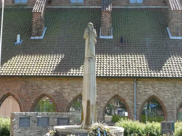
i
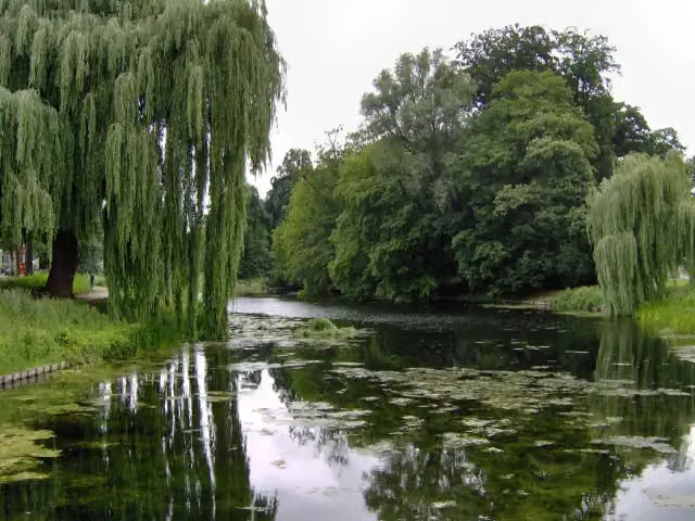
i
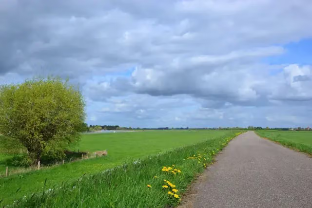
i
The 10 best walks in Zutphen
The best walking route in Zutphen by our score is Hanzestedenpad stage B: 21.3 km, circular walk, start Zutphen, hard.
In the order of our score: a photo, points of interest along the way, a toilet or water point, a circular walk, a description and how often people search for the route.
The numbers on the map are the routes below, at their starting point. Pitstops count up to 100 m from the route. Walking time assumes 4.5 km an hour plus 10 minutes per 100 m of ascent.
- 1
i
Photo: Emelha · Wikimedia Commons · CC BY-SA 3.0View the photo on Wikimedia CommonsHanseatic Towns Trail stage B
21.3 km · ± 4:45 h · ↗ 3 m · Circular walk · start Zutphen
4 public toilets3 water fountains and refill points85 benches and picnic tables
- 2
i
Photo: Tubantia · Wikimedia Commons · CC BY-SA 3.0View the photo on Wikimedia CommonsHanseatic Towns Trail stage C
24.5 km · ± 5:30 h · ↗ 6 m · From A to B · start Zutphen
1 public toilet3 water fountains and refill points100 benches and picnic tables
- 3
i
Photo: MartinD · Wikimedia Commons · CC BY-SA 4.0View the photo on Wikimedia CommonsGraafschapspad - 1
ModerateGraafschap Trail - 1
19 km · ± 4:15 h · ↗ 3 m · From A to B · start Zutphen
2 public toilets2 water fountains and refill points74 benches and picnic tables
- 4
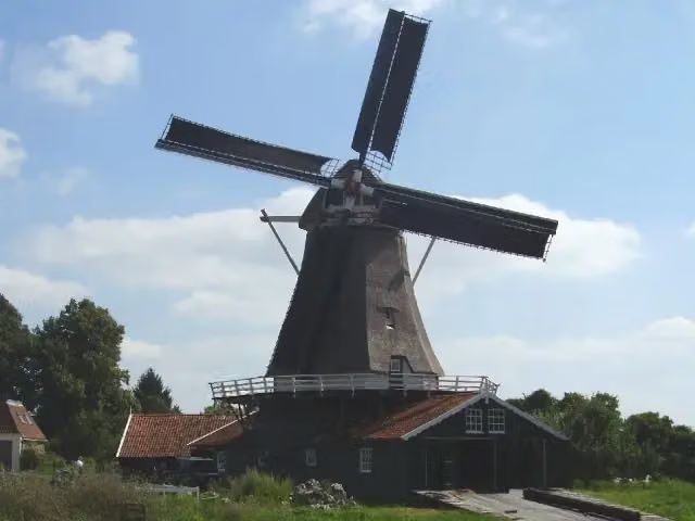
i
Photo: Johan Weenink · Wikimedia Commons · CC BY-SA 3.0View the photo on Wikimedia CommonsHanzestedenpad - 3
ModerateHanseatic Towns Trail - 3
16.1 km · ± 3:35 h · From A to B · start Zutphen
0 public toilets1 water point20 benches and picnic tables
- 5
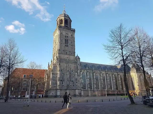
i
Photo: PeHa · Wikimedia Commons · CC BY-SA 4.0View the photo on Wikimedia CommonsNS walk IJsselvallei
32.5 km · ± 7:15 h · ↗ 4 m · From A to B · start Zutphen
1 public toilet5 water fountains and refill points112 benches and picnic tables
- 6
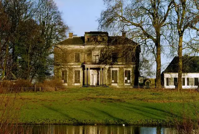
i
Photo: Kasteelbeer · Wikimedia Commons · CC BY-SA 3.0 nlView the photo on Wikimedia CommonsGraafschapspad - 7
ModerateGraafschap Trail - 7
10.1 km · ± 2:15 h · ↗ 16 m · From A to B · start Brummen
1 public toilet0 water fountains and refill points27 benches and picnic tables
- 7
i
Photo: Kasteelbeer · Wikimedia Commons · CC BY-SA 3.0 nlView the photo on Wikimedia CommonsTVP 20 Alternative route Brinkhorster Ferry
12.6 km · ± 2:50 h · ↗ 12 m · From A to B · start Brummen
1 public toilet0 water fountains and refill points12 benches and picnic tables
- 8
i
Photo: Emelha · Wikimedia Commons · CC BY-SA 3.0View the photo on Wikimedia CommonsBerkel Trail stage 1: Zutphen - Almen
10.8 km · ± 2:25 h · From A to B · start Zutphen
5 public toilets3 water fountains and refill points101 benches and picnic tables
- 9
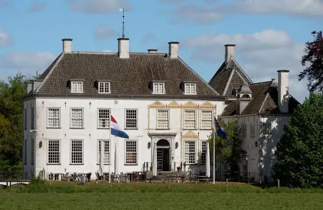
i
Photo: Michielverbeek · Wikimedia Commons · CC BY-SA 4.0View the photo on Wikimedia CommonsBerkelvalleiroute
ModerateBerkel Valley Route
18.2 km · ± 4:05 h · Circular walk · start Lochem
1 public toilet0 water fountains and refill points32 benches and picnic tables
- 10
i
Photo: Emelha · Wikimedia Commons · CC BY-SA 3.0View the photo on Wikimedia CommonsLudgerpad
HardLudger Trail
88.3 km · ± 19:40 h · ↗ 35 m · From A to B · start Rhede
2 public toilets5 water fountains and refill points173 benches and picnic tables
All 16 walks from Zutphen, A to Z
- Berkel en Warnsveld route
- Berkelpad · Berkel Trail
- Berkelpad etappe 1: Zutphen - Almen · Berkel Trail stage 1: Zutphen - Almen
- Fiere Pad · Proud Trail
- Graafschapspad · Graafschap Trail
- Graafschapspad - 1 · Graafschap Trail - 1
- Hanzestedenpad - 3 · Hanseatic Towns Trail - 3
- Hanzestedenpad - B · Hanseatic Towns Trail stage B
- Hanzestedenpad - C · Hanseatic Towns Trail stage C
- Heideroute · Heath Route
- NS-Wandeling IJsselvallei · NS walk IJsselvallei
- Onderlaatsche Laakroute
- Rondje Waliën · Waliën circular walk
- Stadsrandwandeling Zutphen · Zutphen city edge walk
- Wandelroute Velhorst · Velhorst walking route
- Warkense Molenroute · Warken Mill Route
Long-distance paths through Zutphen
Walks of several days, in stages.
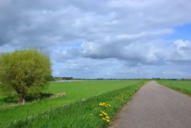
i
Photo: MartinD · Wikimedia Commons · CC BY-SA 4.0View the photo on Wikimedia Commons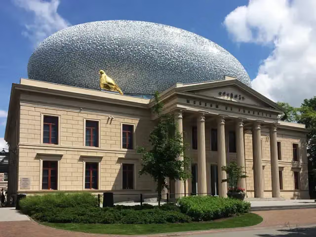
i
Photo: -Ebelien- · Wikimedia Commons · CC BY 2.0View the photo on Wikimedia Commons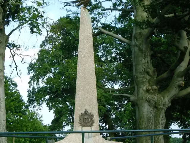
i
Photo: P.J.L Laurens · Wikimedia Commons · CC BY 2.5View the photo on Wikimedia Commonsi
Photo: Emelha · Wikimedia Commons · CC BY-SA 3.0View the photo on Wikimedia Commons
Points of interest along the walks
Along the 10 best walks.
Gideon-monument
Memorial · along 3 walks
Bolwerksmolen
Attraction · along 2 walks
Kasteel Reuversweerd
Castle · along 2 walks
- Audio story · 2 min
i
Photo: PeHa · Wikimedia Commons · CC BY-SA 4.0View the photo on Wikimedia CommonsGrote of Lebuinuskerk
Attraction · along 1 walk
Museum EICAS
Museum · along 1 walk
Huis het Velde
Castle · along 1 walk
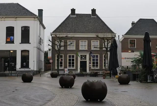 Audio story · 2 min
i
Photo: Ziko · Wikimedia Commons · CC BY-SA 4.0View the photo on Wikimedia CommonsNationaal Onderduikmuseum
Museum · along 1 walk
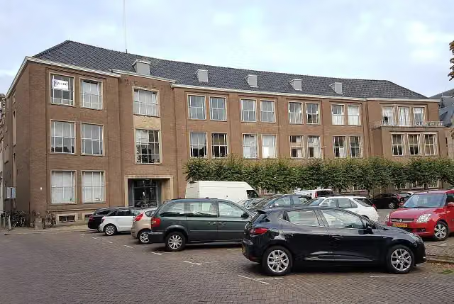
 Story
Museum · along 1 walk
Walks per place in Gelderland
49 places have their own guide.
- Aalten51 ›
- Apeldoorn73 ›
- Arnhem44 ›
- Barneveld32 ›
- Berg en Dal64 ›
- Berkelland65 ›
- Bronckhorst82 ›
- Brummen34 ›
- Buren32 ›
- Culemborg13 ›
- Doesburg7 ›
- Doetinchem32 ›
- Druten11 ›
- Duiven20 ›
- Ede52 ›
- Elburg15 ›
- Epe19 ›
- Ermelo31 ›
- Harderwijk15 ›
- Hattem15 ›
- Heerde19 ›
- Heumen34 ›
- Lingewaard49 ›
- Lochem80 ›
- Maasdriel28 ›
- Montferland41 ›
- Neder-Betuwe28 ›
- Nijkerk25 ›
- Nijmegen53 ›
- Nunspeet31 ›
- Oldebroek21 ›
- Oost Gelre29 ›
- Oude IJsselstreek49 ›
- Overbetuwe49 ›
- Putten33 ›
- Renkum46 ›
- Rheden23 ›
- Rozendaal8 ›
- Scherpenzeel7 ›
- Tiel19 ›
- Voorst27 ›
- Wageningen27 ›
- West Betuwe53 ›
- West Maas en Waal17 ›
- Westervoort7 ›
- Wijchen16 ›
- Winterswijk59 ›
- Zaltbommel27 ›
- Zevenaar21 ›
Explore further
Frequently asked questions
How many walks are there in Zutphen?
The Outdoor Pitstop map has 26 walks in Zutphen, including 4 long-distance paths in stages.
What is the best walk in Zutphen?
At the top of this guide is Hanzestedenpad stage B (21.3 km, hard). Next come Hanzestedenpad stage C and Graafschapspad - 1.
Are there circular walks in Zutphen?
Yes, for example Hanzestedenpad stage B and Berkelvalleiroute.
Which walks in Zutphen have a toilet along the way?
In this guide, Hanzestedenpad stage B, Hanzestedenpad stage C and Graafschapspad - 1 have a public toilet along the route.
Which long-distance paths run through Zutphen?
Among others Graafschapspad, Hanzestedenpad, Trekvogelpad and Berkelpad run through this area.
Popular nearby
Guides of places nearby





